Waterfront Land with Creek
For Sale
$190,000
Pending
Tbd 7.8 Acres Cr 6151, Pettigrew, AR 72752
Land, Pettigrew, AR
Property SizeContact for details
Lot Size7.86 Acres
Days on Market76
Property Features for Tbd 7.8 Acres Cr 6151
General Information
Property type
Land
Property subtype
Other
High school district
000000
Standard status
Pending
Lot size
7.86 Acres
Listing Agency:
Mossy Oak Properties Field, Farm, and Homes
(479) 480-7000
Listed By:
License #SA00087705
(479) 480-7000
Added: Jun 10
Changed: Aug 20
Last Checked: Aug 24 at 7:06AM
MLS# 11832901
Copyright © 2026 My State MLS. All rights reserved. All information provided by the listing agent/broker is deemed reliable but is not guaranteed and should be independently verified.
Investment Insights
Based on property information with market context.
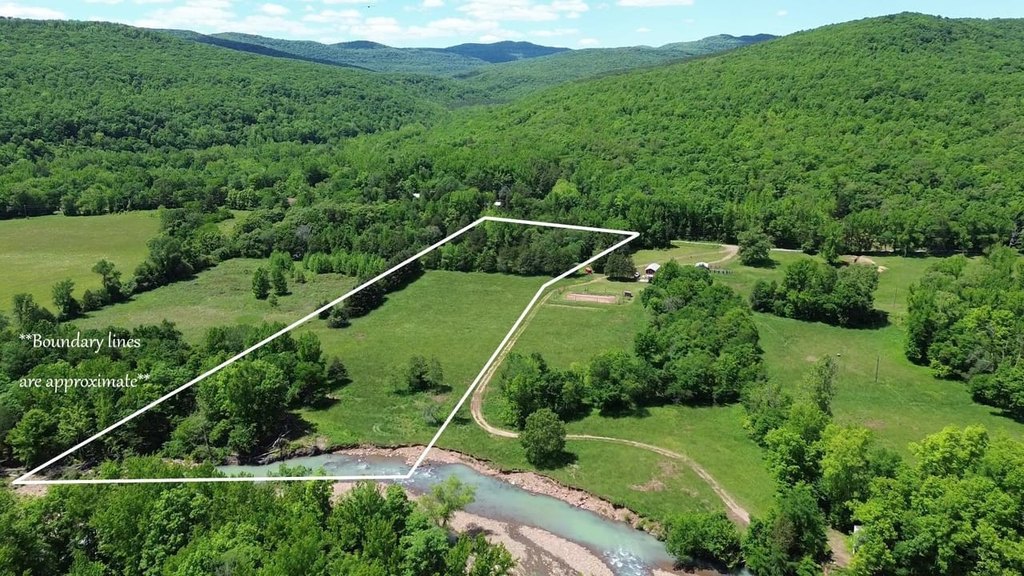
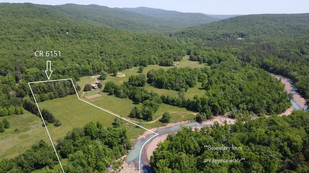
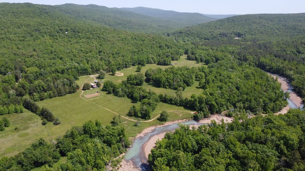
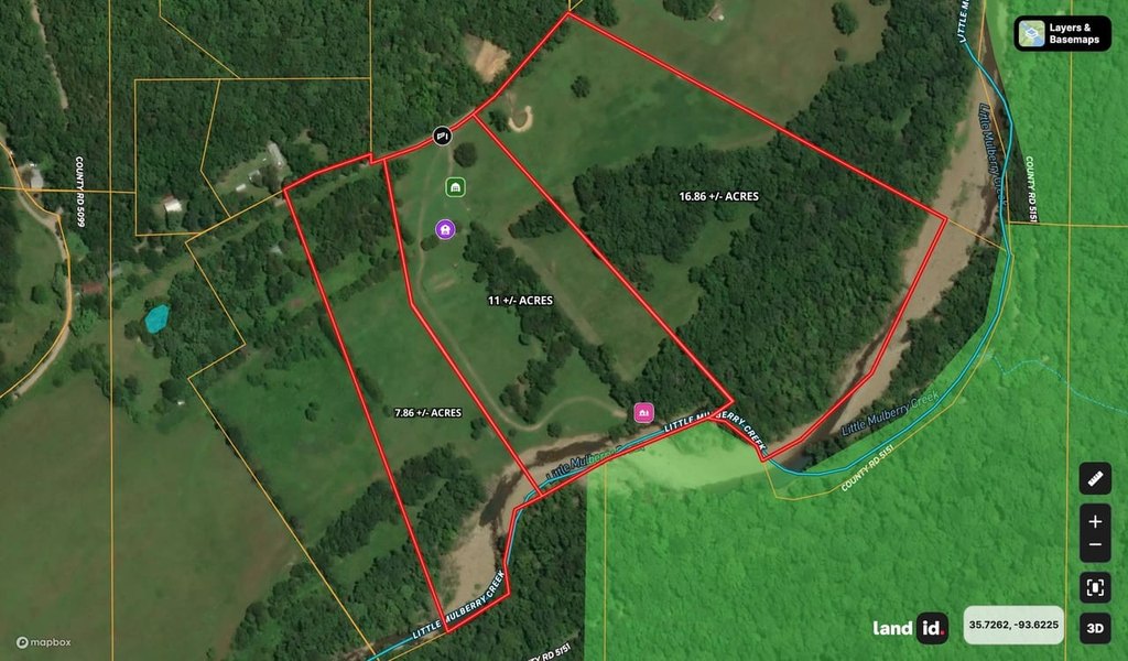
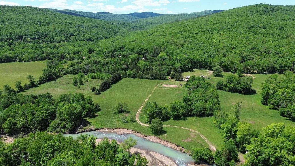
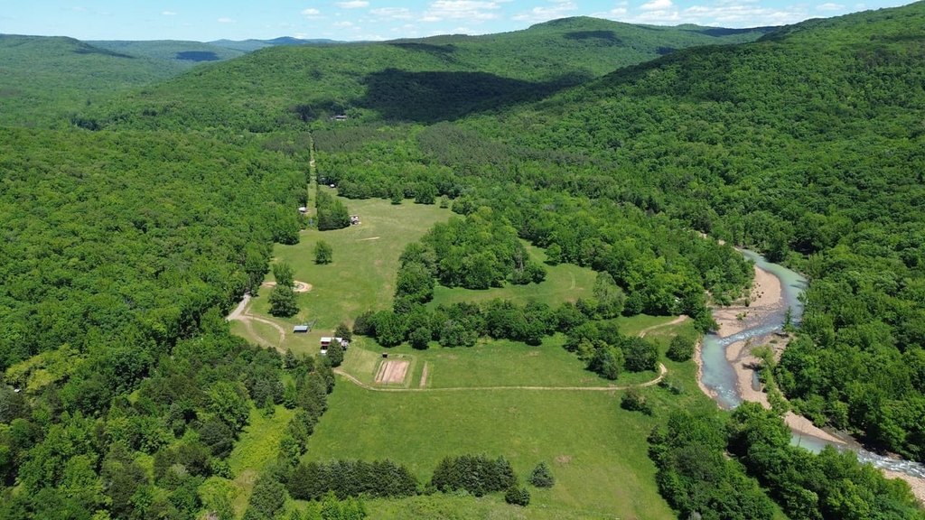
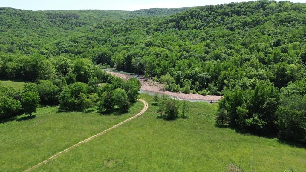
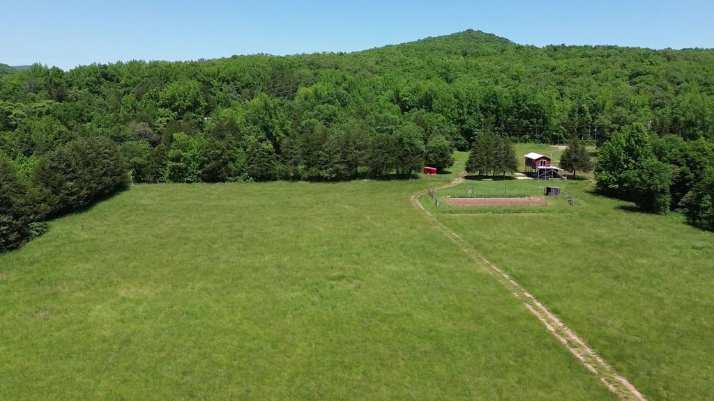
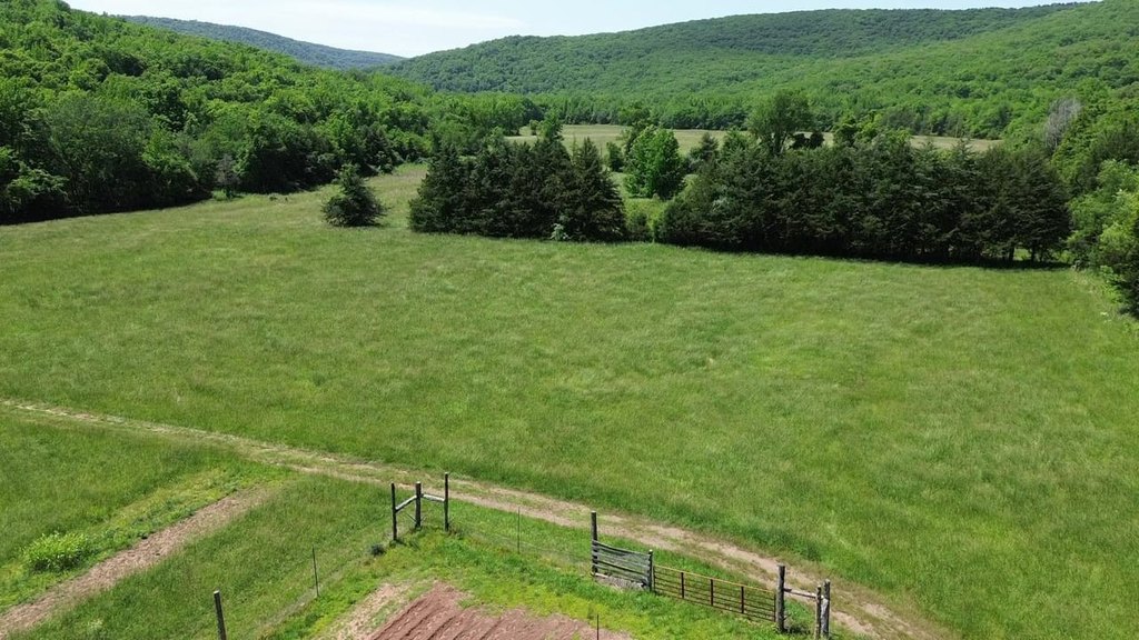
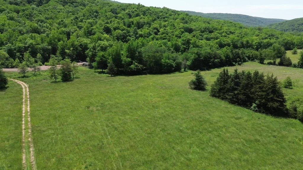
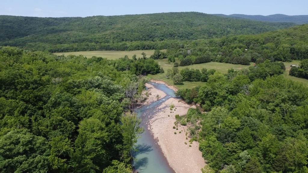
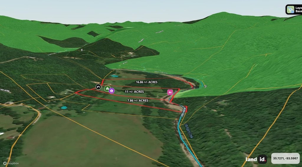
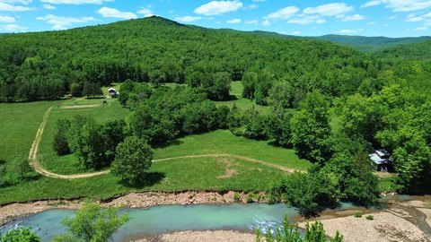
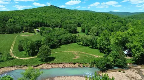
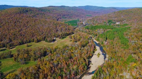
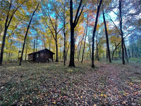
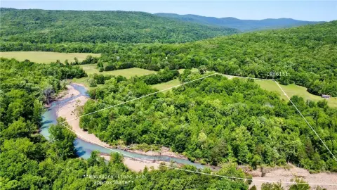
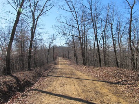
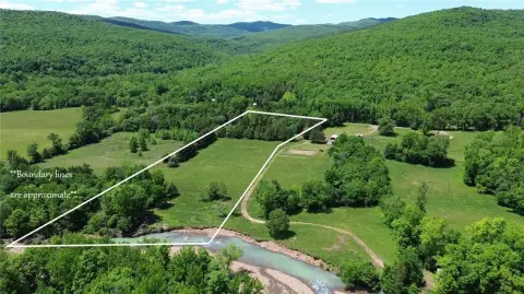
This 7.86-acre waterfront tract in Pettigrew includes approximately 500 feet of frontage along Little Mulberry Creek. The level property contains approximately 3.7 acres of partially fenced pasture, along with creekside land and direct access from County Road 6151. Electricity and fiber internet are available on-site; a well and septic system will be required. A survey is required before closing, and three total tracts are available.
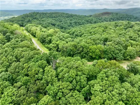
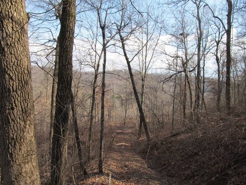
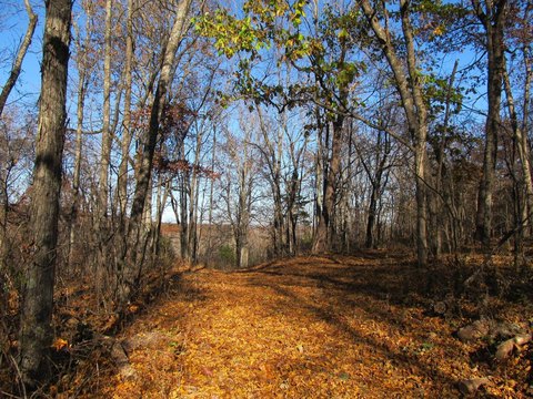
The property is approximately 5.9 miles north of Highway 215 in the Hazen Ford community. Access to the Ozark National Forest is available less than a mile away in all four directions, while the Ozark Highlands Trail is located a few miles from the property. Fayetteville, Clarksville, and Ozark are listed at 50 miles, 30 miles, and 35 miles, respectively.
The property is approximately 5.9 miles north of Highway 215 in the Hazen Ford community. Access to the Ozark National Forest is available less than a mile away in all four directions, while the Ozark Highlands Trail is located a few miles from the property. Fayetteville, Clarksville, and Ozark are listed at 50 miles, 30 miles, and 35 miles, respectively.
Key Highlights
- Approximately 500 feet of Little Mulberry Creek frontage
- 7.86‑acre waterfront tract with approximately 3.7 acres of partially fenced pasture
- Direct access from County Road 6151
Property Analytics
Current Use
Lease Details
Yes
Paved road access
Location Intelligence
Trade Area within ½ mile
1
Businesses Nearby
Explore this area
Business Placement
Demographics for 72752, AR
305
Population
191
Households
1.6
Avg Household Size
53
Median Age
51%
College-Educated
89%
High-School Grad
124.4 sq mi
ZIP Area
2
Density / Sq Mi
$61,563
Median Household Income
$4,531
Median Earnings
$120,600
Median Home Value

Questions? Ask Rey
Realmo’s AI knows this listing — price, zoning, demand, history. Ask anything.

Frequently Asked Questions
What type of property is this?
Waterfront Land - Level acreage combines open pasture with direct creek access, electricity, and fiber internet available on-site.
Where is this waterfront land located?
The property is located at Tbd 7.8 Acres Cr 6151 Pettigrew, AR.
What is the asking price?
The asking price for this property is $190,000.
What are key features of this property?
This property features: Approximately 500 feet of Little Mulberry Creek frontage; 7.86‑acre waterfront tract with approximately 3.7 acres of partially fenced pasture; Direct access from County Road 6151


