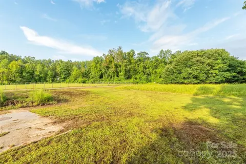
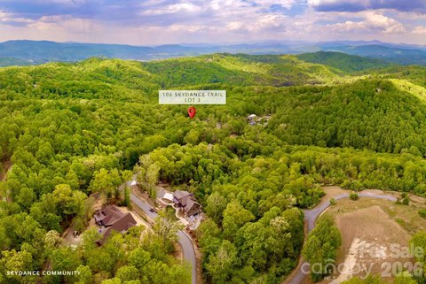
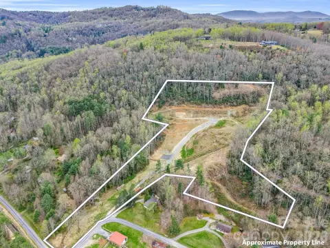
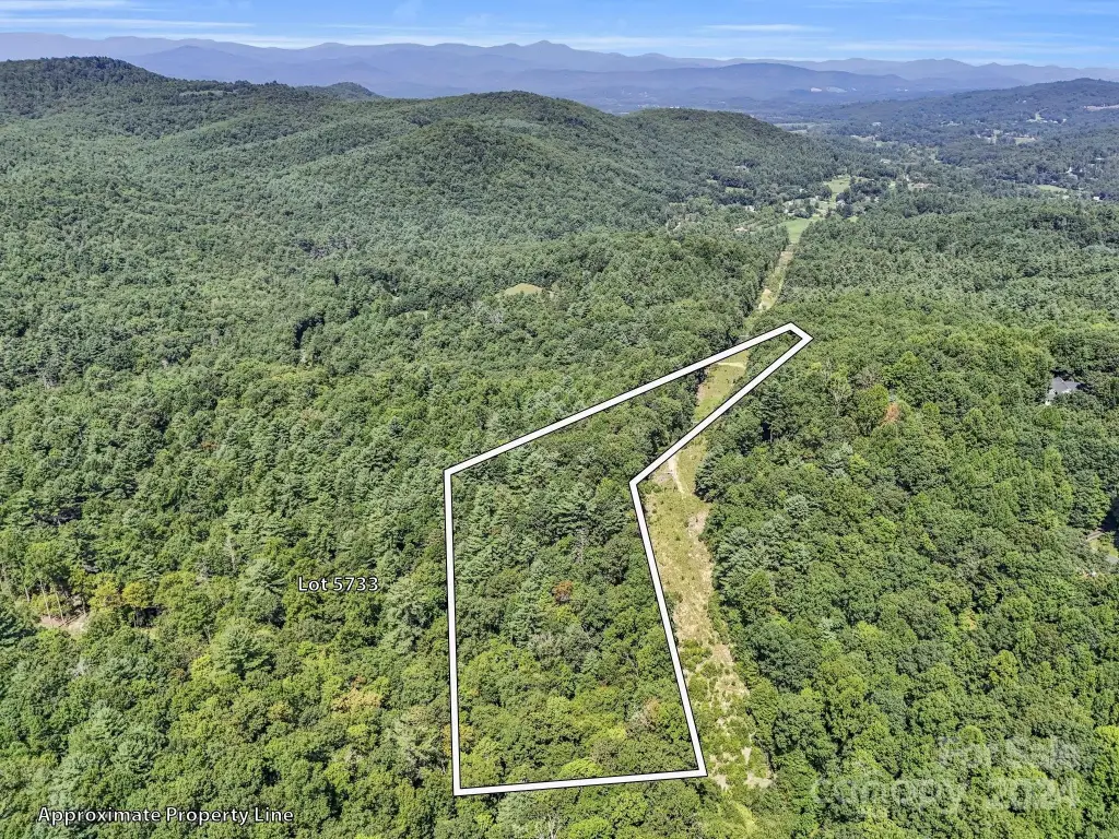
SR1196-A Evans Road, Hendersonville, NC 28739


- Added:
- Aug 30, 2024
- Days on Market:
- 671
- Last Refresh:
- Jul 1 at 9:06 am
Property Features for SR1196-A Evans Road
General Information
- Property type
- Land
- Property subtype
- Other
- Standard status
- Active
- APN
- 9934473
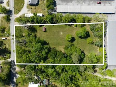
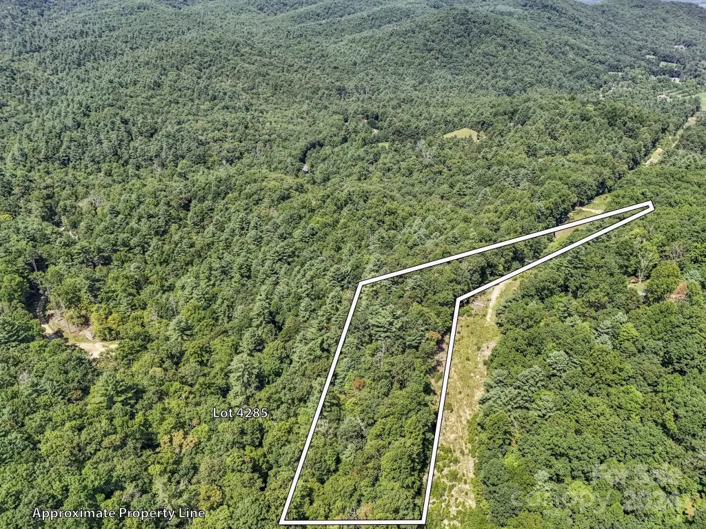
- Lot size
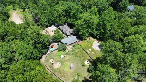
- 4.76 Acres
Taxes and HOA fees
- Tax Description
- SR1196 ON EVANS ROAD
Utilities
- Sewer type
- Septic Needed
- Water source
- Well Needed
Listing agent Phillip Trees License #324504 (828) 216-3492
Listing office George Real Estate Group Inc 2720 Greenville Hwy Ste 30, Flat Rock, NC (828) 393-0134
Listing date Aug 30, 2024
Copyright © 2026 Canopy MLS. All rights reserved. All information provided by the listing agent/broker is deemed reliable but is not guaranteed and should be independently verified.
HighLights
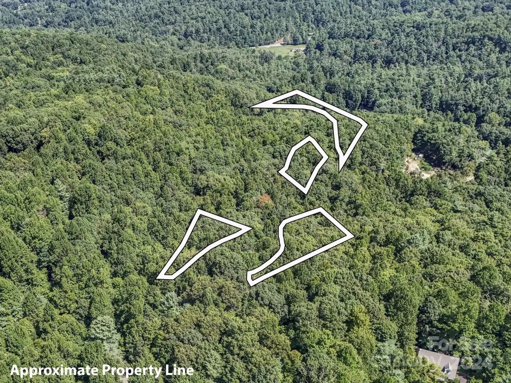
- 5 lots available in Kanuga Ridge, a private yet convenient development in the Crab Creek area of Henderson County
- Well water source needed and septic system needed
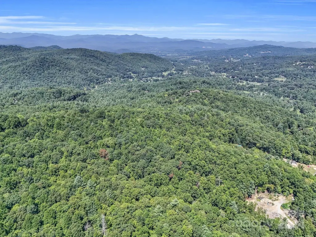
- Minutes away from downtown Hendersonville
- Near DuPont State Recreational Forest and historic Flat Rock Village
- Close to golf and nationally recognized mountain biking trails
- Ecusta Trail is soon to open—a 19‑mile greenway connecting Hendersonville and Brevard
Overview
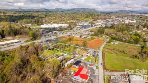
The lots are located at SR1196-A Evans Road in Hendersonville (28739). The community is described as private yet convenient, with DuPont State Recreational Forest and historic Flat Rock Village nearby. Outdoor recreation opportunities are highlighted in the area, including golf and nationally recognized mountain biking trails, as well as the soon-to-open Ecusta Trail, described as a 19-mile greenway connecting Hendersonville and Brevard. The remarks also note top-rated schools and minimal HOA fees.
For builders or owner-occupants looking to design and construct from the ground up, this land package supports flexible site planning across multiple lots. The ability to acquire one, several, or all five parcels can help match development scale to project requirements while keeping the lots within the same planned community.
Current Use by Public Records
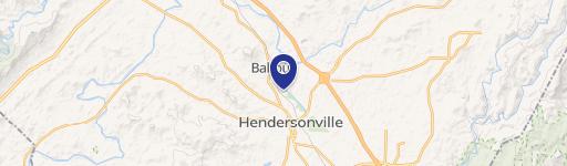
Map
- City
- Hendersonville
- County
- Henderson
- State
- North Carolina
- Longitude
- -82.54024833
- Latitude
- 35.26813528