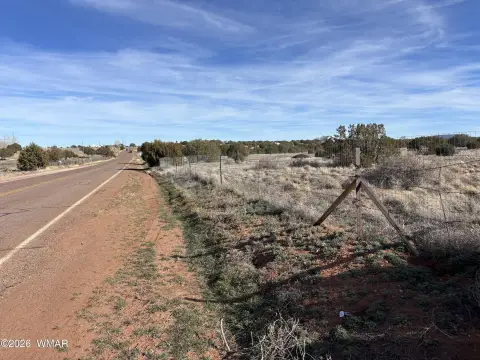
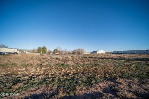
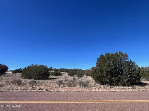
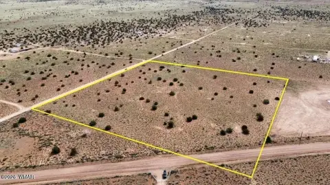
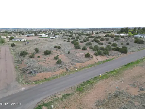
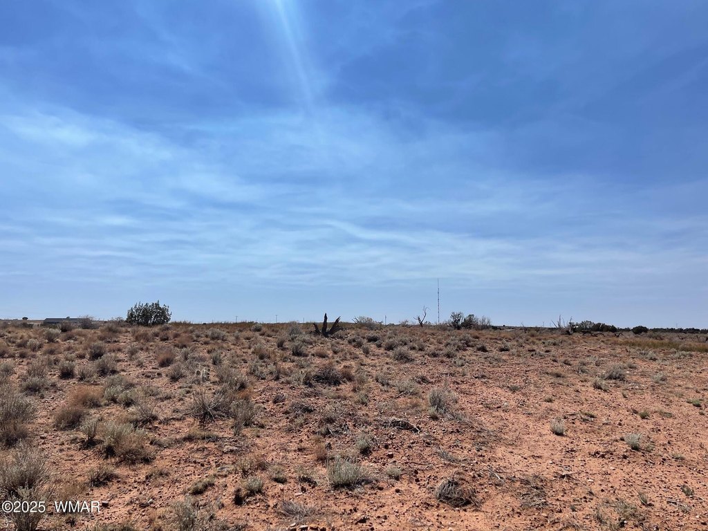
Parcel B Highway 77, Snowflake, AZ 85937
- Added:
- Jul 20, 2025
- Days on Market:
- 354
- Last Refresh:
- Jul 8 at 2:06 pm
Property Features for Parcel B Highway 77
General Information
- Property type
- Commercial Sale
- Property subtype
- Other
- Exterior features
- Level
- Standard status
- Active
- APN
- 202-39-034
- Lot size
- 5.01 Acres
Taxes and HOA fees
- Tax Description
- A portion of Parcel IND 1 per Survey Fee 2010-16315, located in Section 35, Township 14 North, Range 21 East, of the Gila and Salt River Base and Meridian, Navajo County, Arizona, described as follows: Using as the Basis of Bearing the South line of said Parcel IND 1, from a found #4 rebar with a yellow plastic cap stamped LS 9868, thence North 89 degrees 50'48'' West 1220.41 feet to a found #4 rebar with a yellow plastic cap stamped LS 9868; Commencing at the southeast corner of said Parcel IND 1, being a found #4 rebar with a yellow plastic cap stamped LS 9868; Thence North 89 degrees 51'12'' West 406.90 feet to the Point of Beginning, being a found #4 rebar with an orange plastic cap stamped LS 22290. Thence North 89 degrees 50'11'' West 406.69 feet to a found #4 rebar with an orange plastic cap stamped LS 22290; Thence North 02 degrees 46'57'' West 545.67 feet to a found #4 rebar with an orange plastic cap stamped LS 22290; Thence South 89 degrees 51'53 East 393.39 feet to a found #4 rebar with an ora

Listing agent Shelly Reidhead License #BR657663000 (928) 551-3697
Listing office Elk Country Realty LLC 830 E Main St Ste 120, Springerville, AZ (928) 333-1420
Listing date Jul 20, 2025
Copyright © 2026 White Mountain Association of Realtors. All rights reserved. All information provided by the listing agent/broker is deemed reliable but is not guaranteed and should be independently verified.
HighLights
- 1.5 acre property with Light Industrial Zoning.
- Excellent highway exposure.
- Easy access to major transportation routes.
- Electric close by.
- Minutes from interstate.
- Minutes from railway.
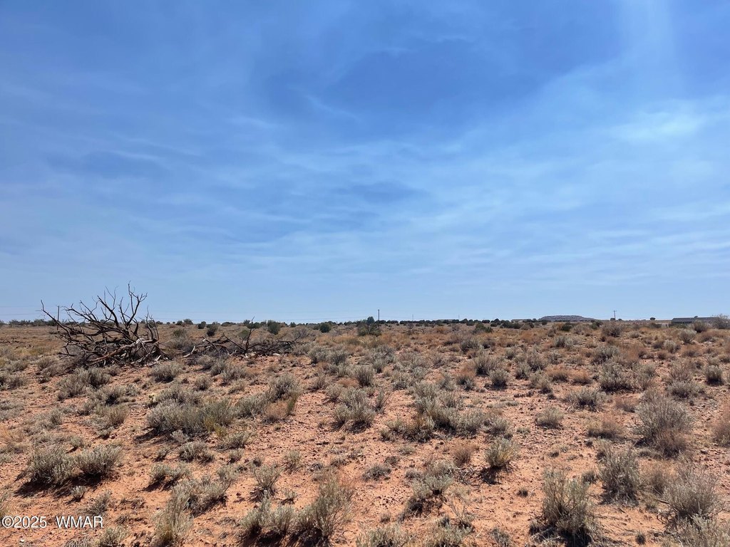
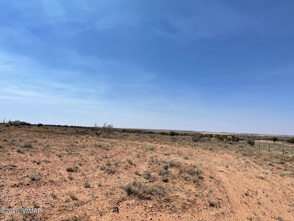
Overview
Current Use by Public Records
Map
- City
- Snowflake
- County
- Navajo
- State
- Arizona
- Longitude
- -110.085117
- Latitude
- 34.567177