TBD County Rd P32, Redding, IA 50860
- Added:
- Jun 26, 2026
- Days on Market:
- 2
- Last Refresh:
- Jun 27 at 5:06 pm
Property Features for TBD County Rd P32
General Information
- Property type
- Land
- Property subtype
- Other
- Parking features
- Garage
- Standard status
- Active
- Lot size
- 414.00 Acres
Taxes and HOA fees
- Tax Annual Amount
- 0
Building Details
- Architectural style
- Other
Listing agent Jared Luebbers (507) 218-1243
Listing office High Point Land Company, LLC 520 Main Street South, Stewartville, IA (319) 559-2345
Listing date Jun 26, 2026
Copyright © 2026 My State MLS. All rights reserved. All information provided by the listing agent/broker is deemed reliable but is not guaranteed and should be independently verified.
HighLights
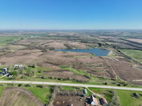
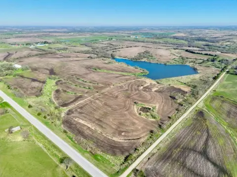
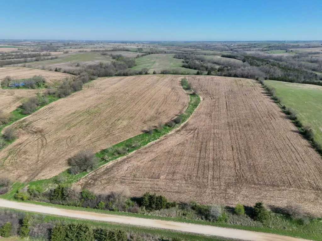
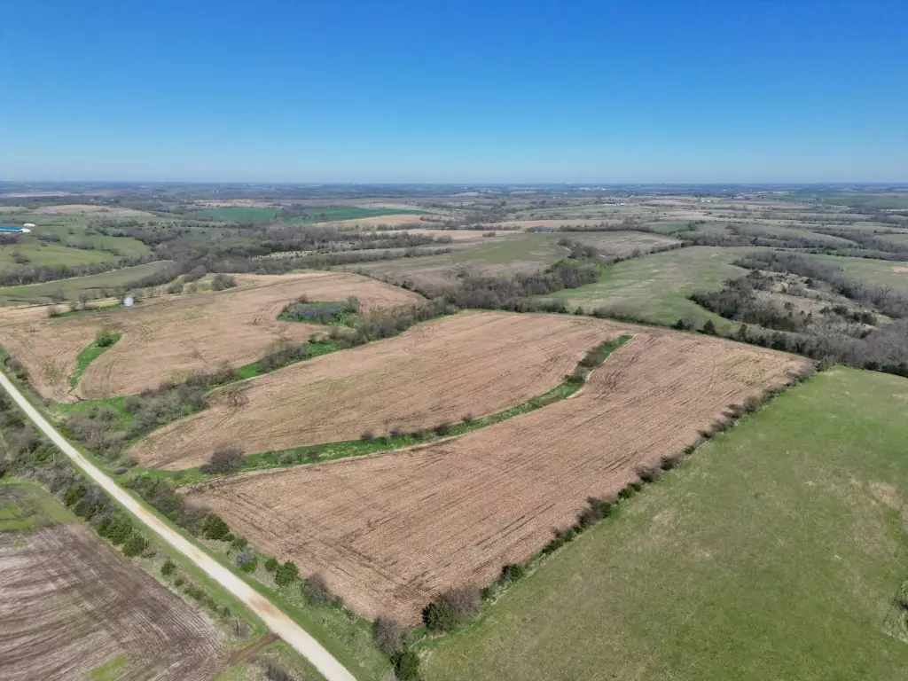
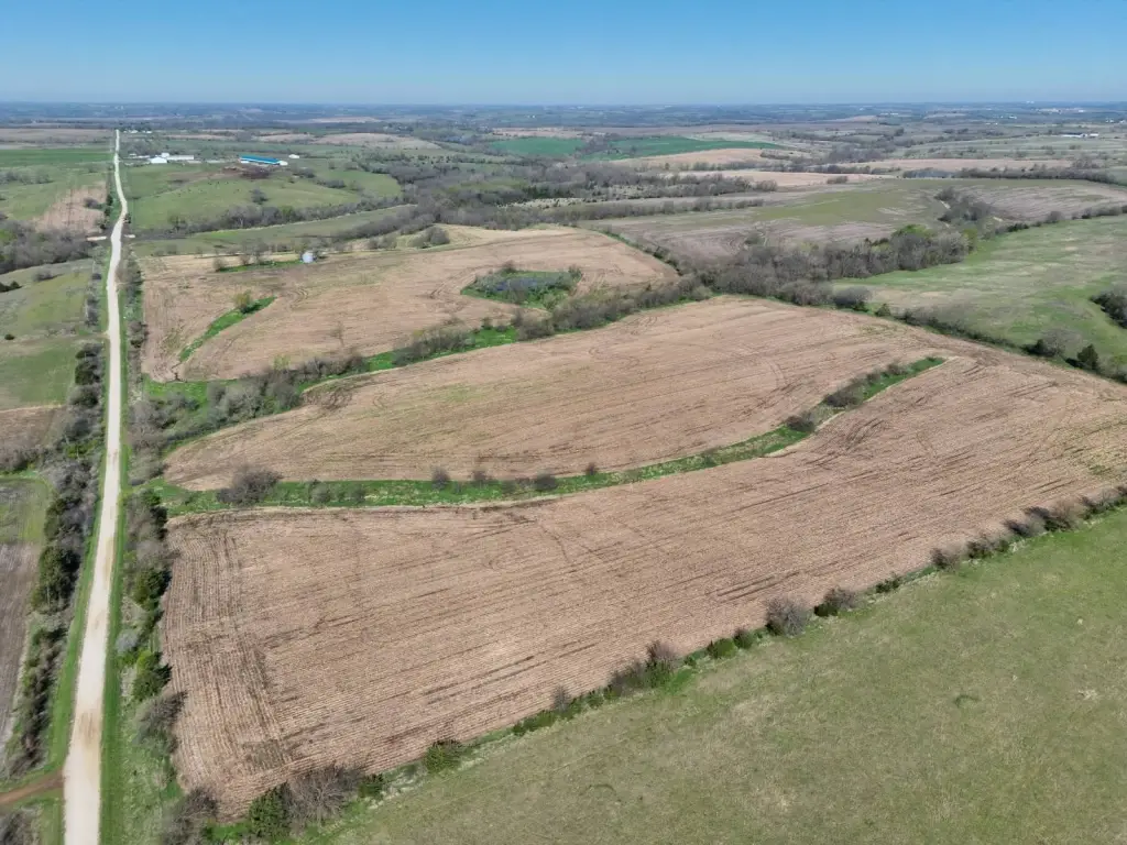
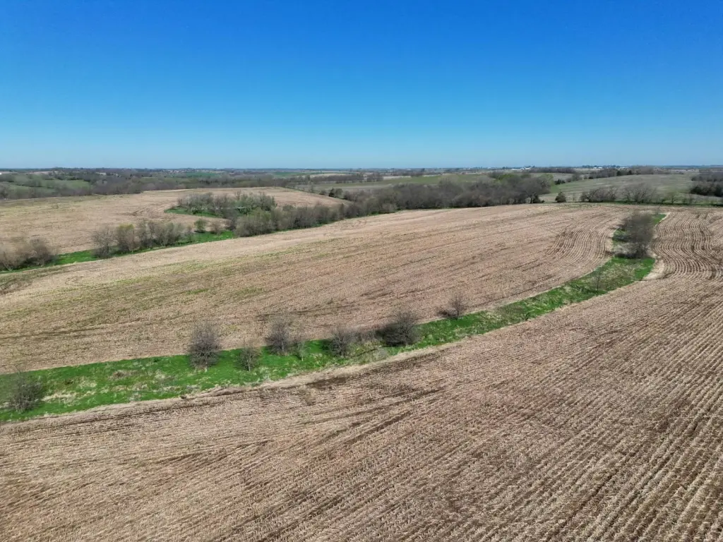
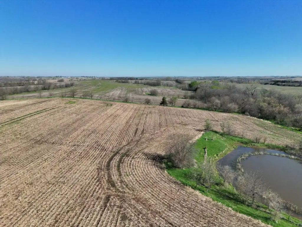
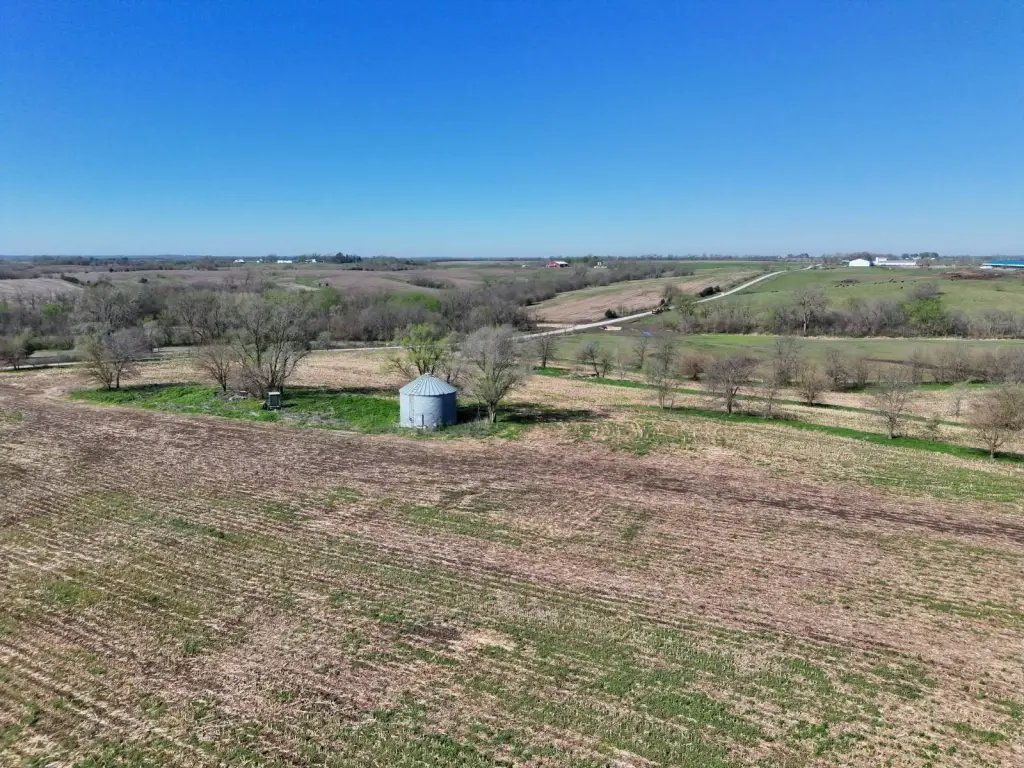
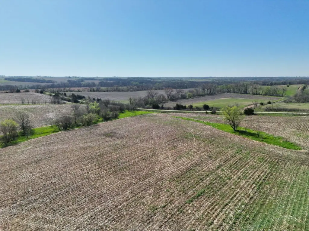
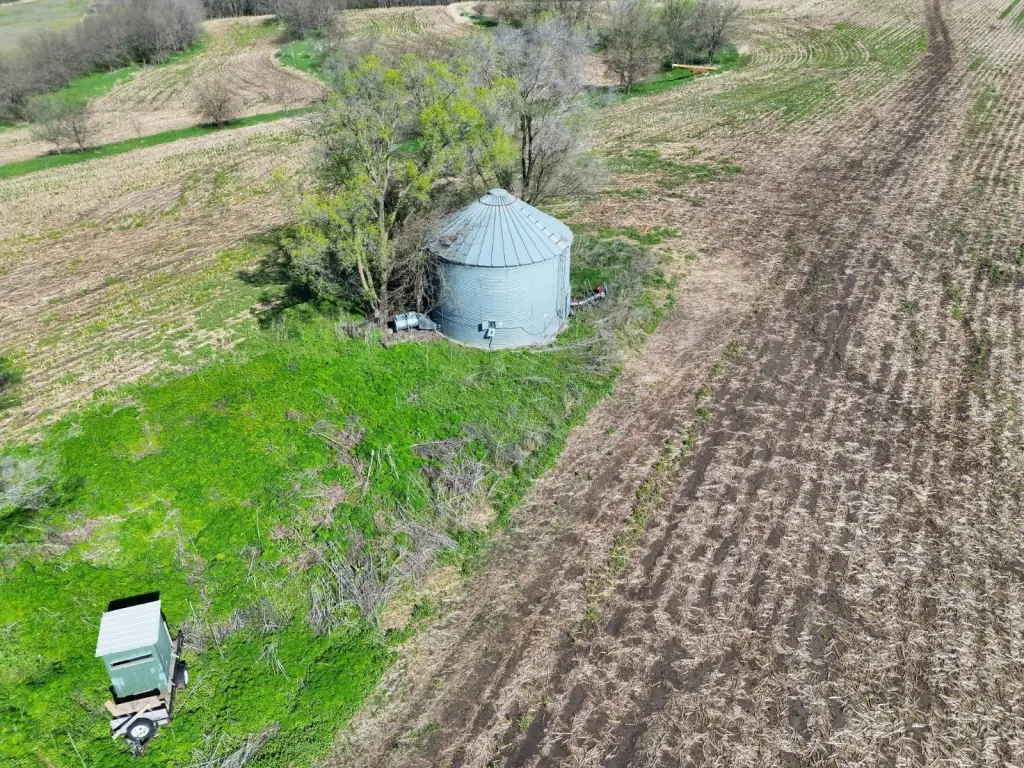
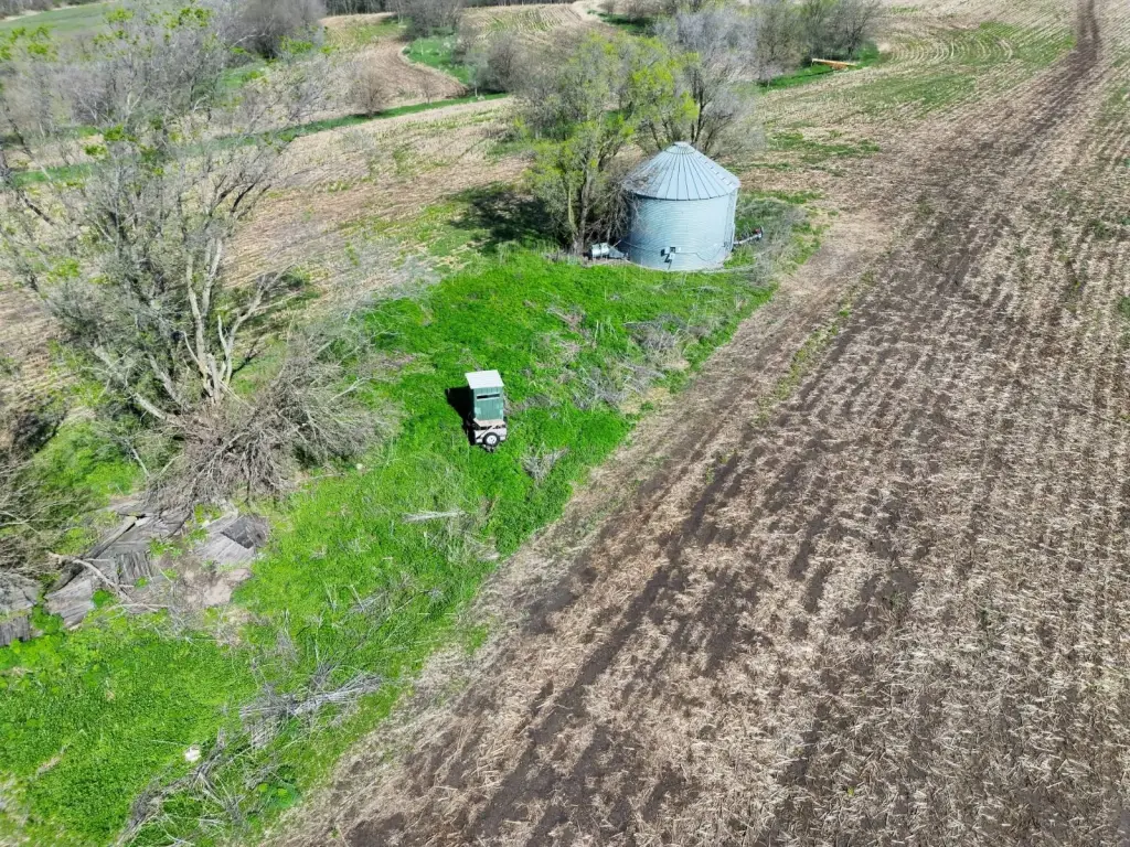
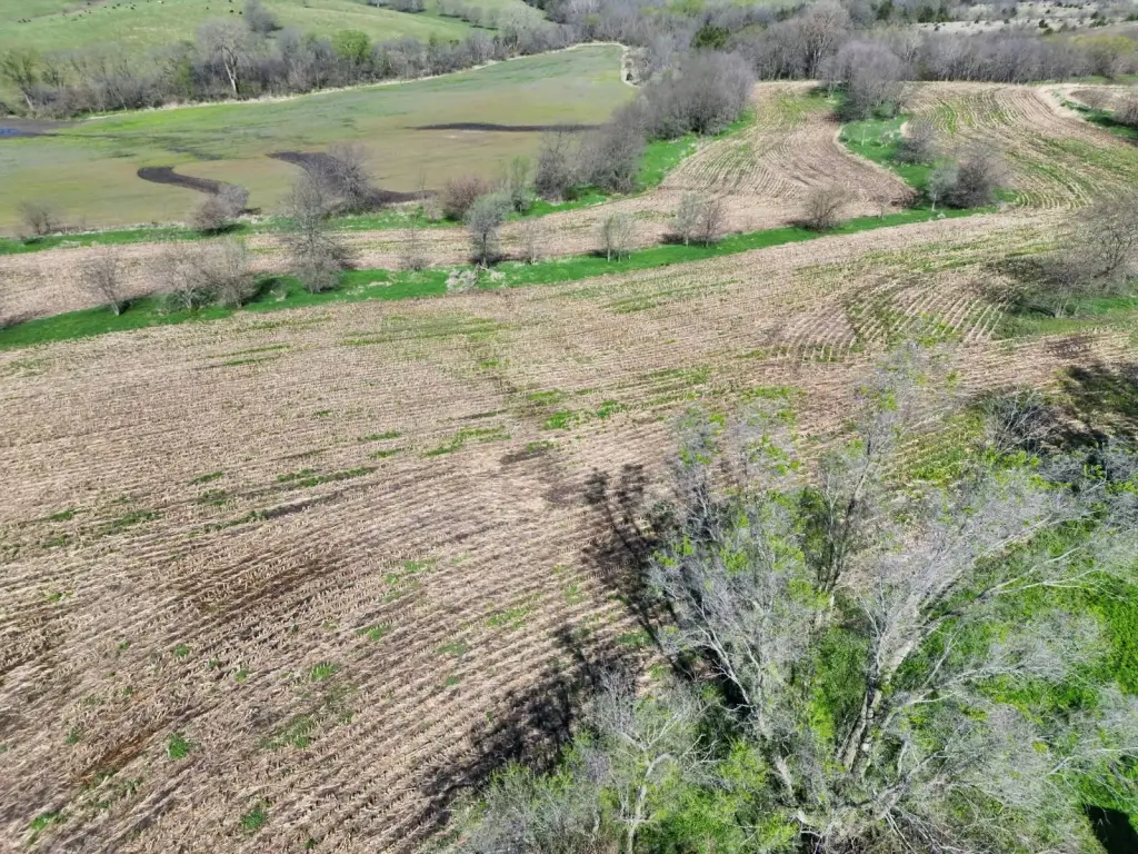
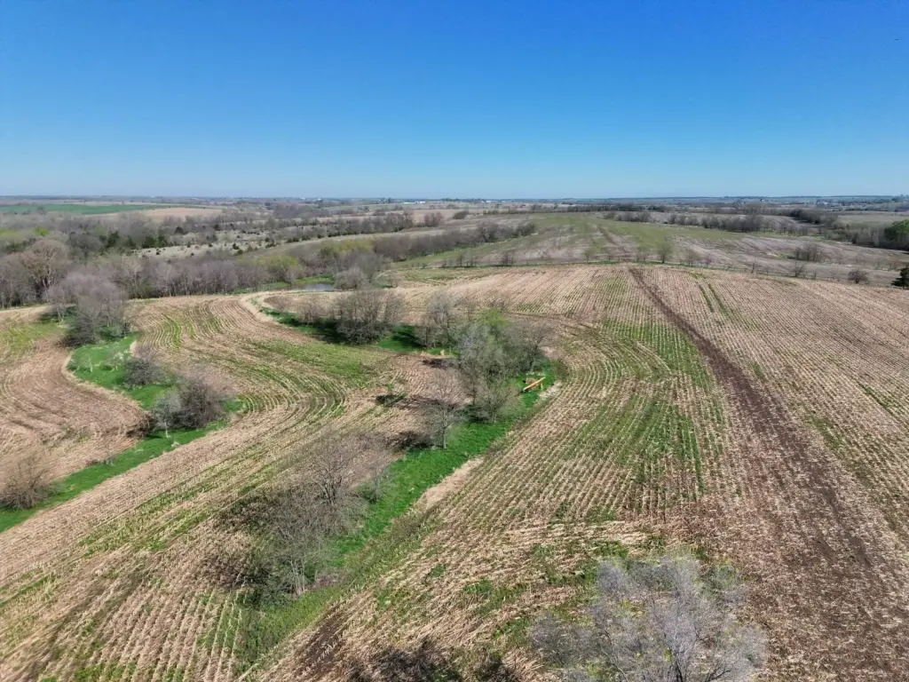
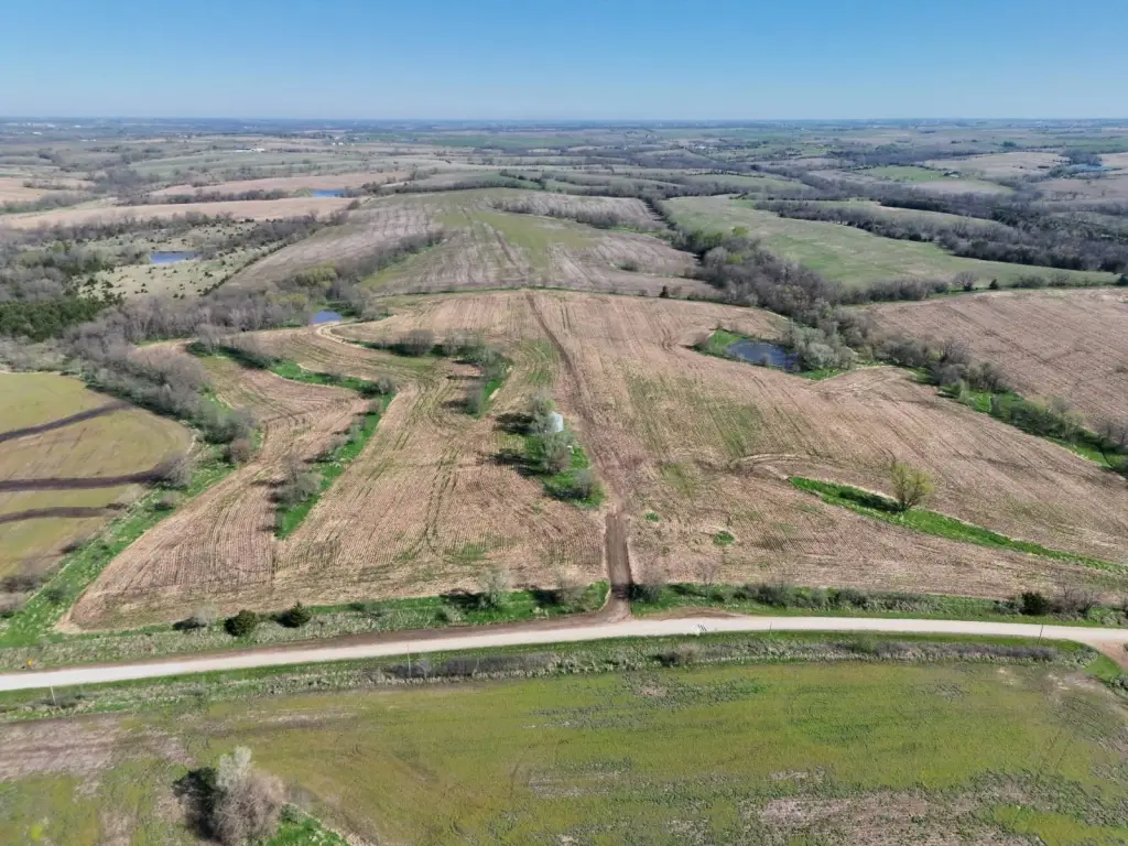
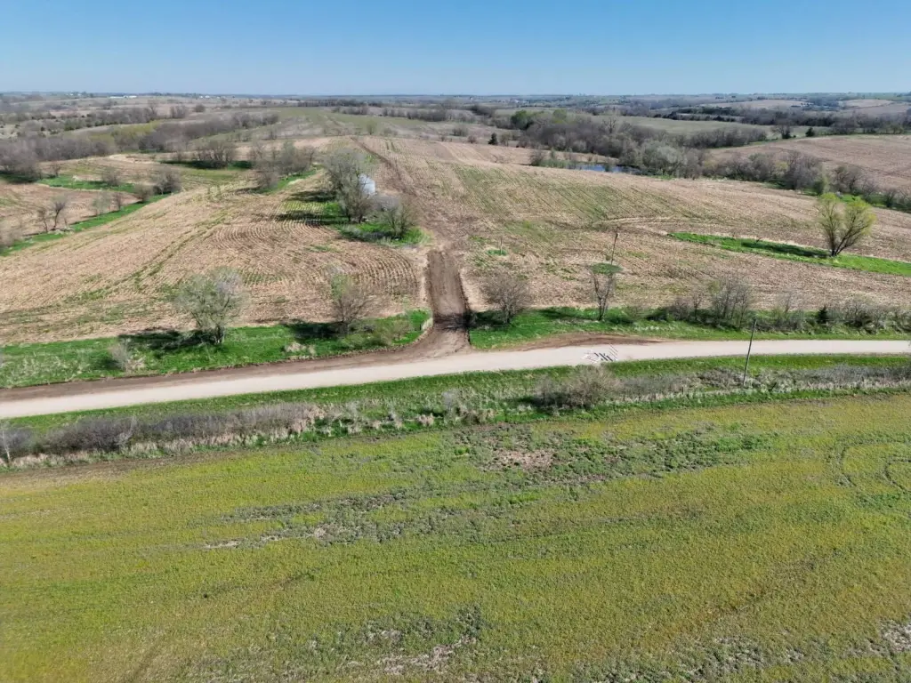
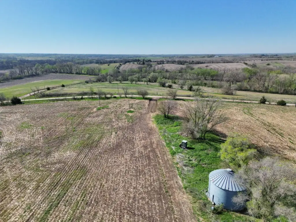
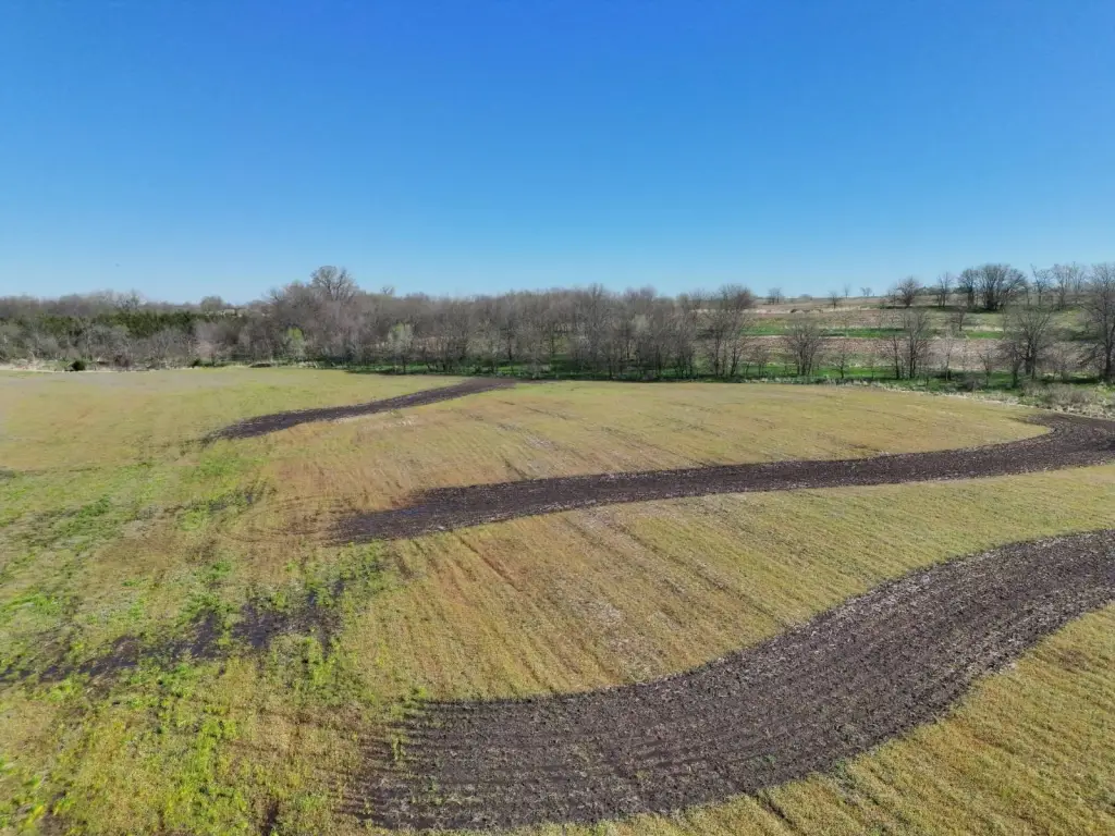
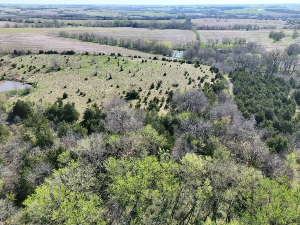
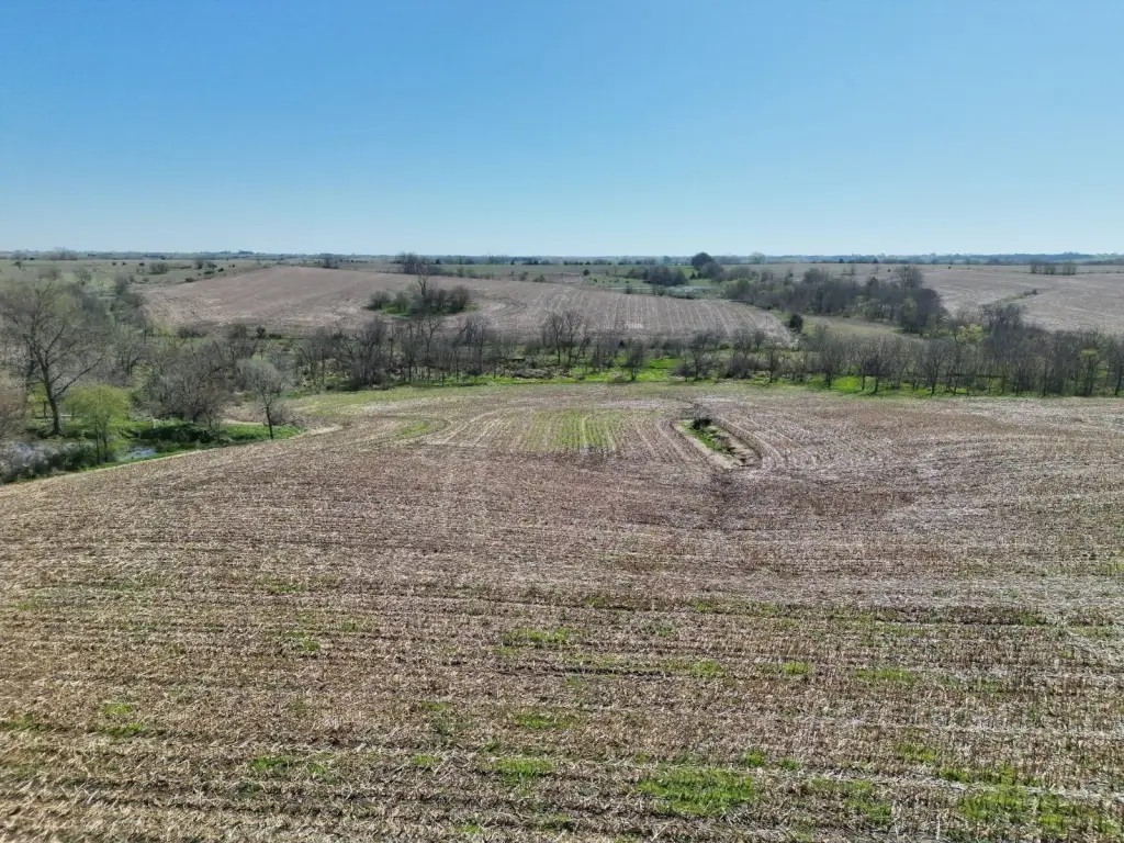
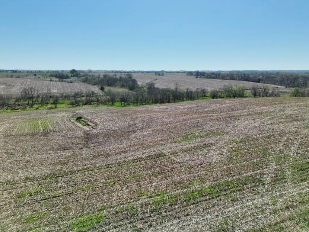
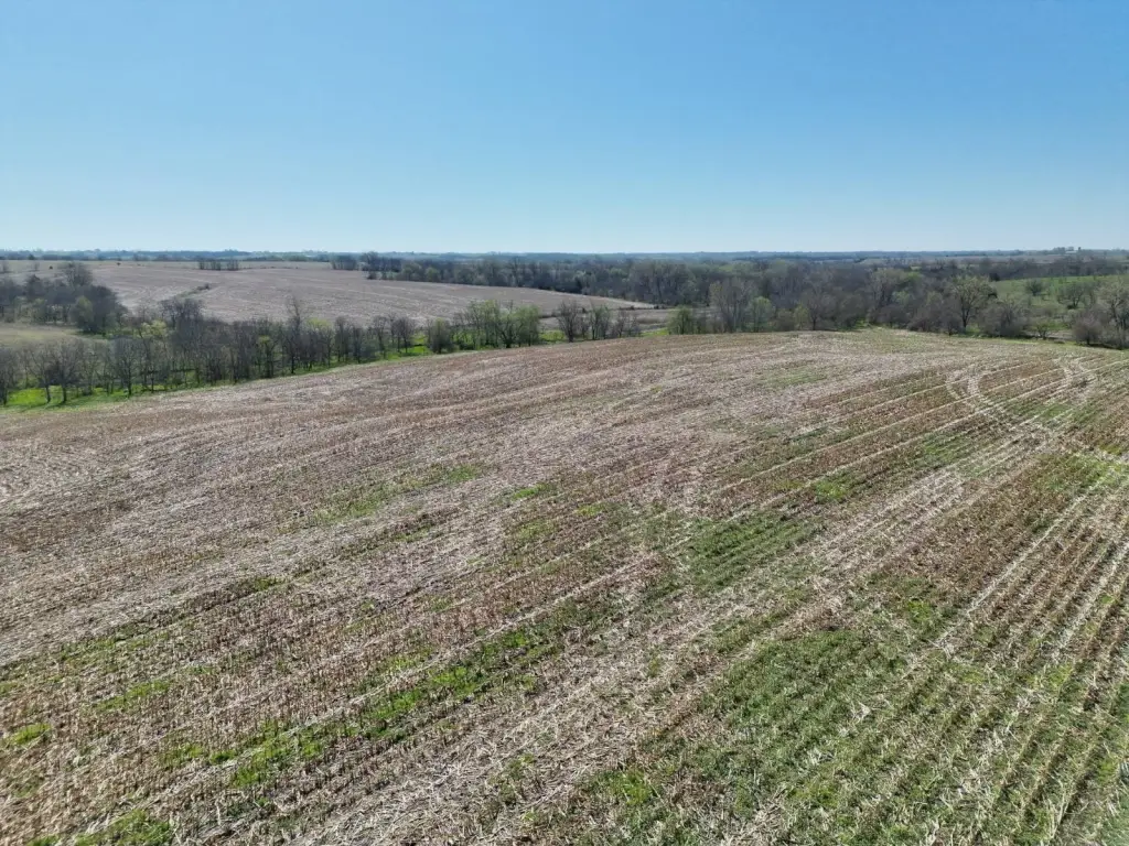
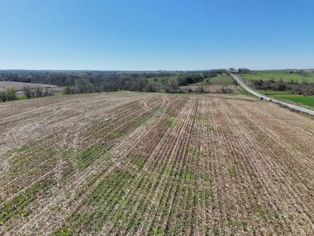
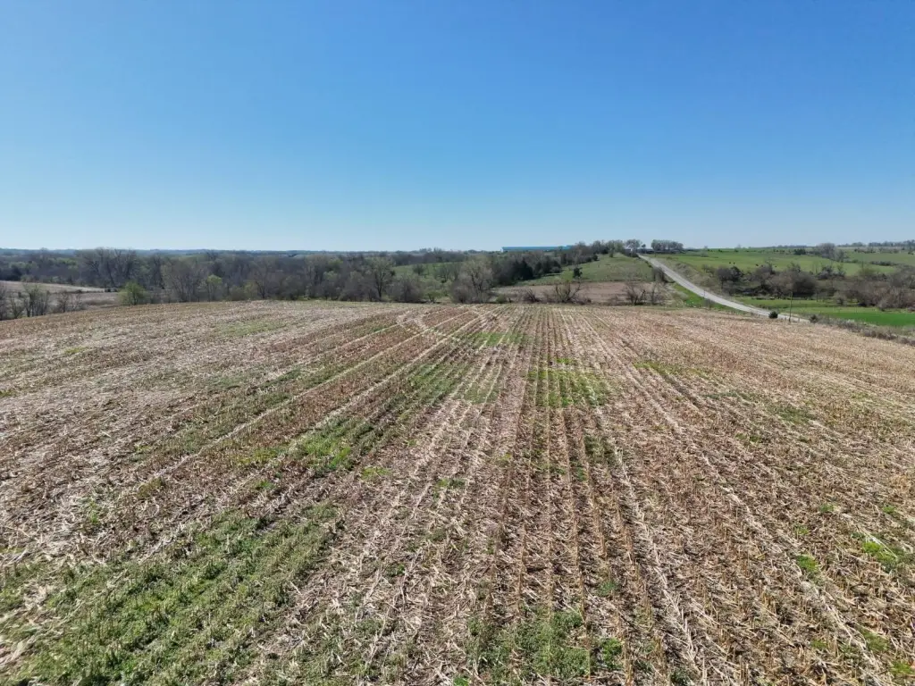
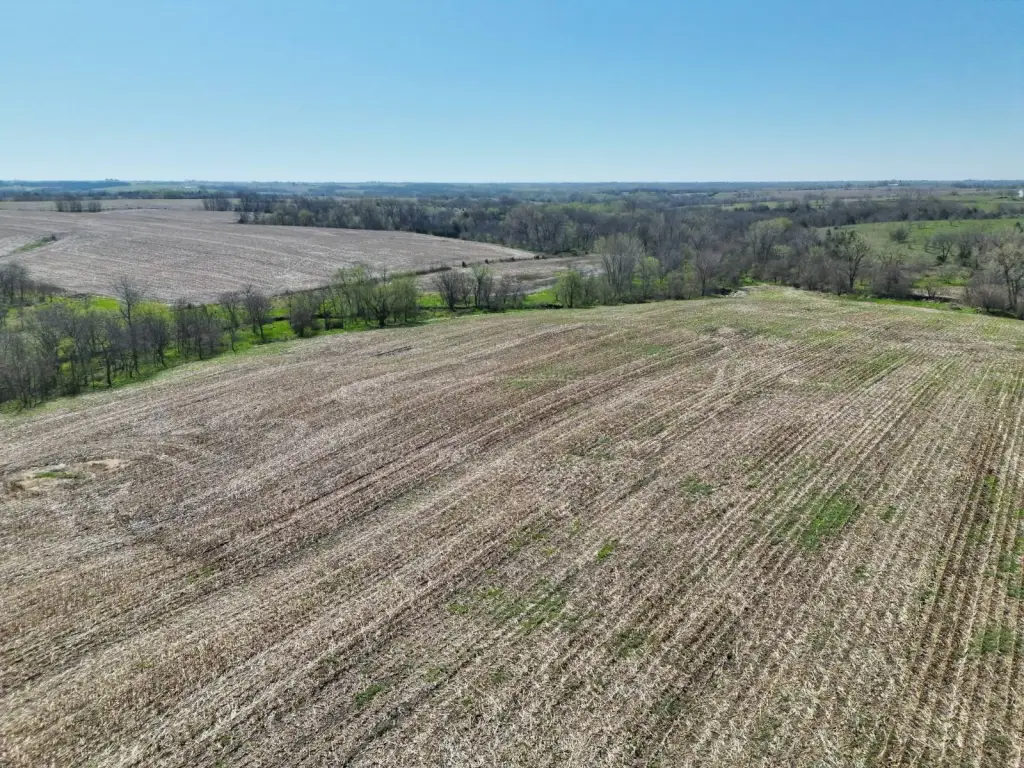
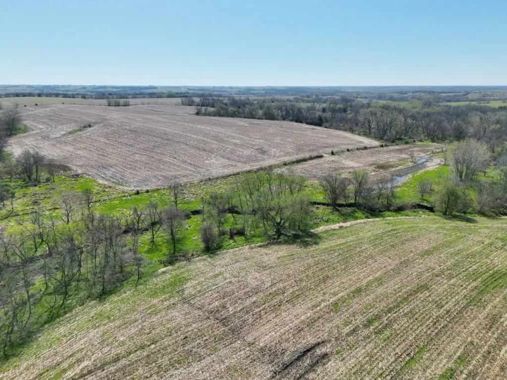
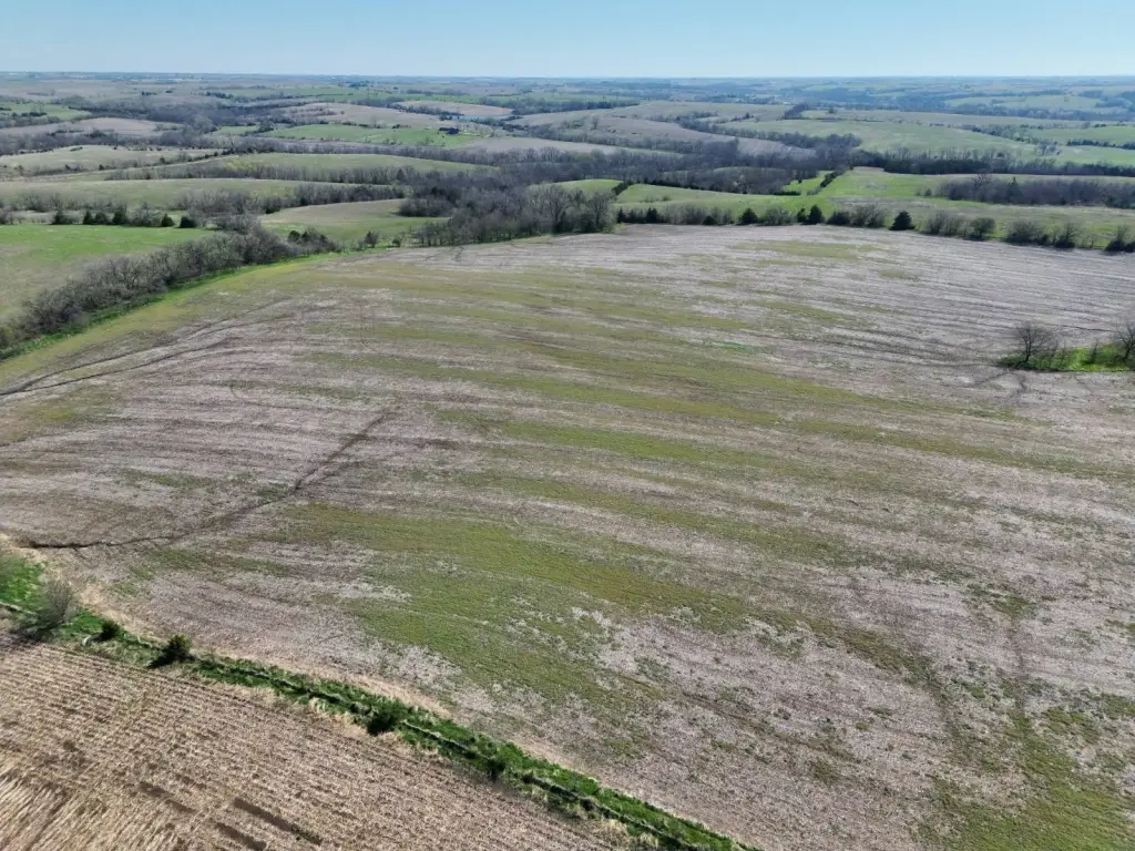
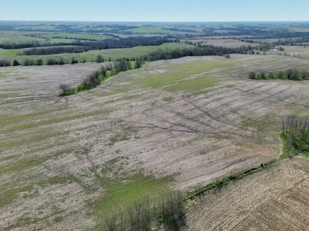
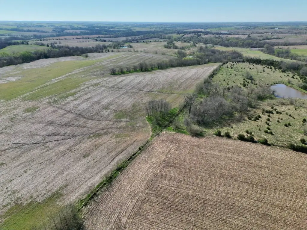
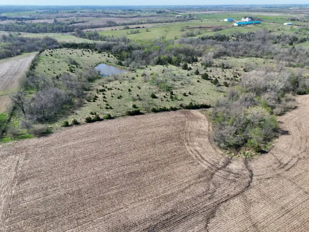
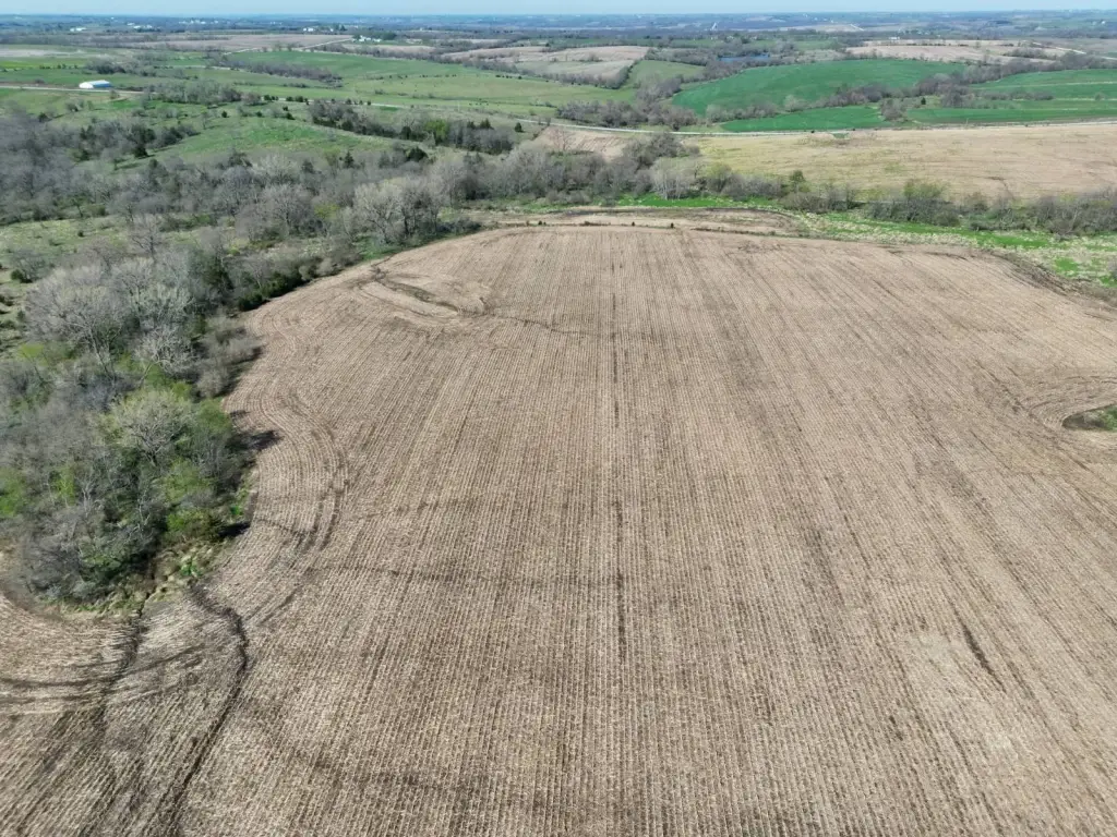
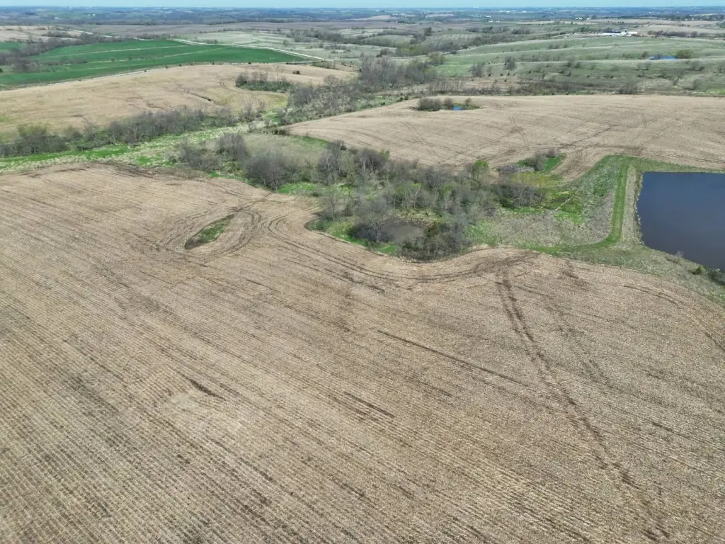
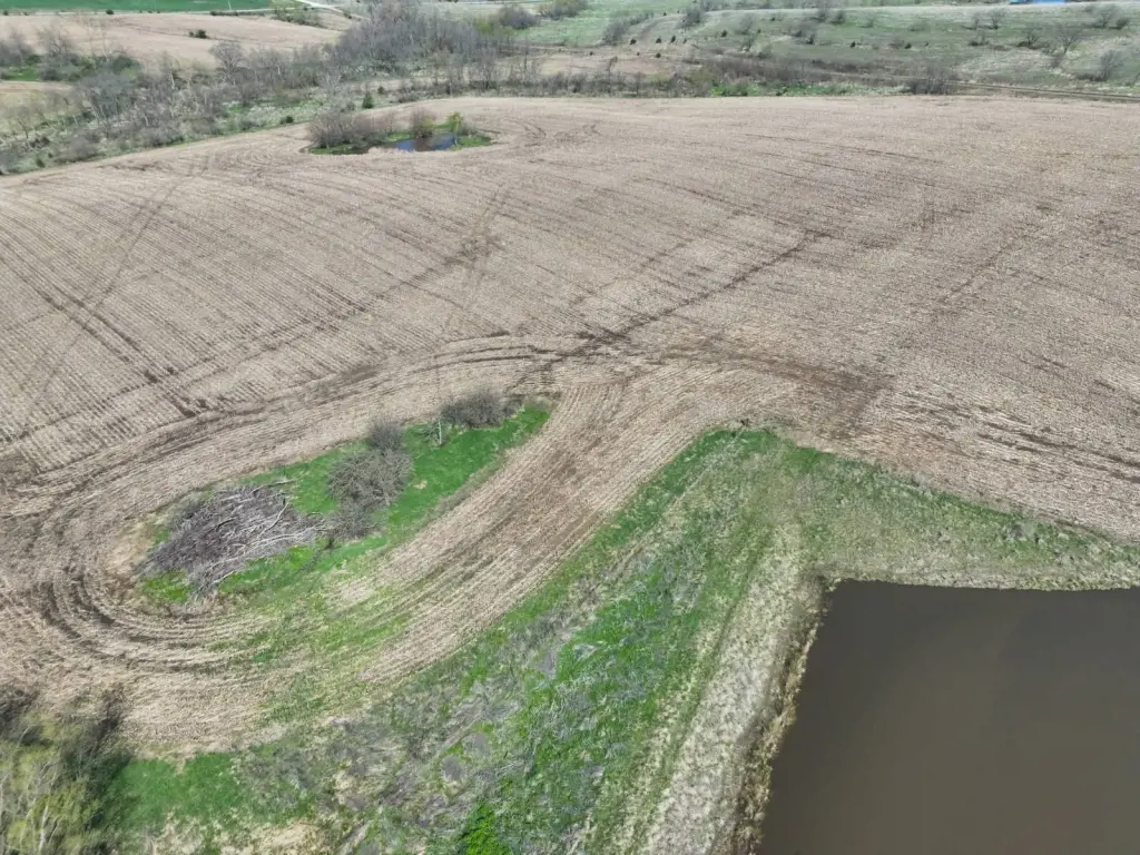
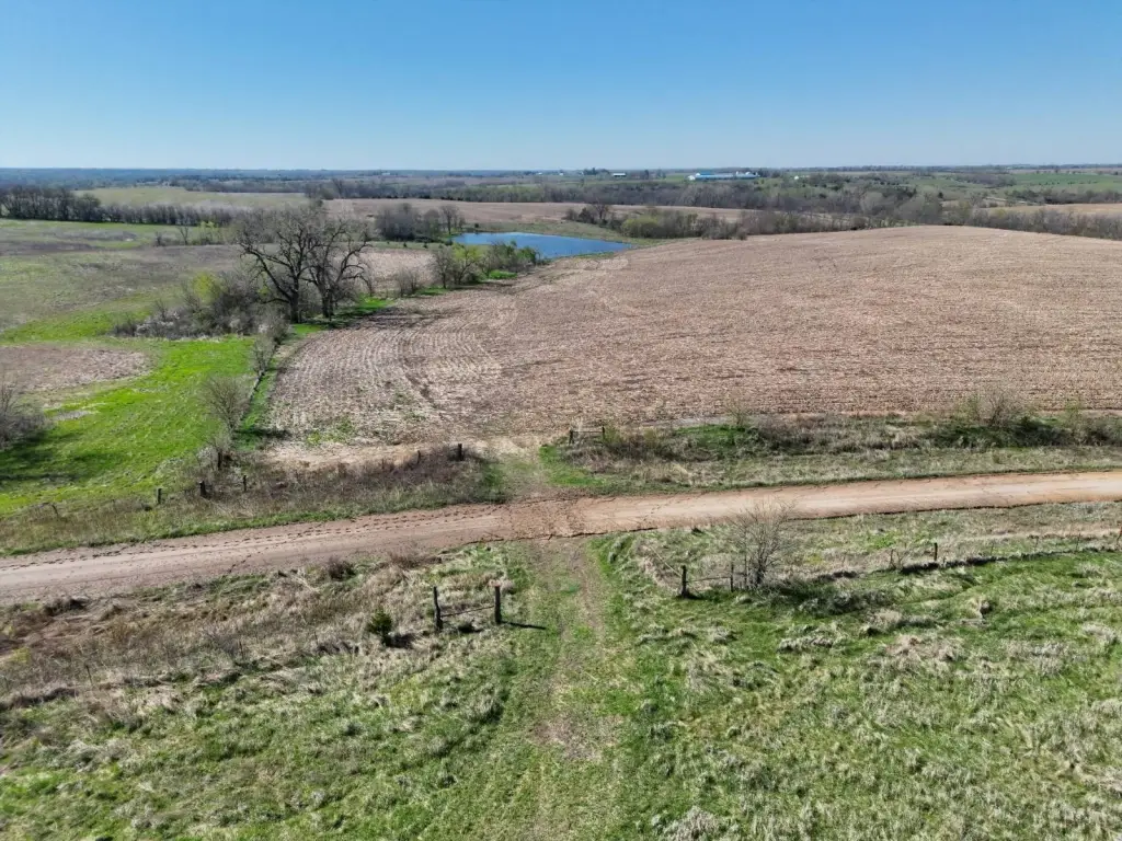
- 293+/- tillable acres with overall CSR2 of 48.9 for row‑crop income potential
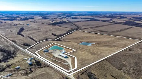
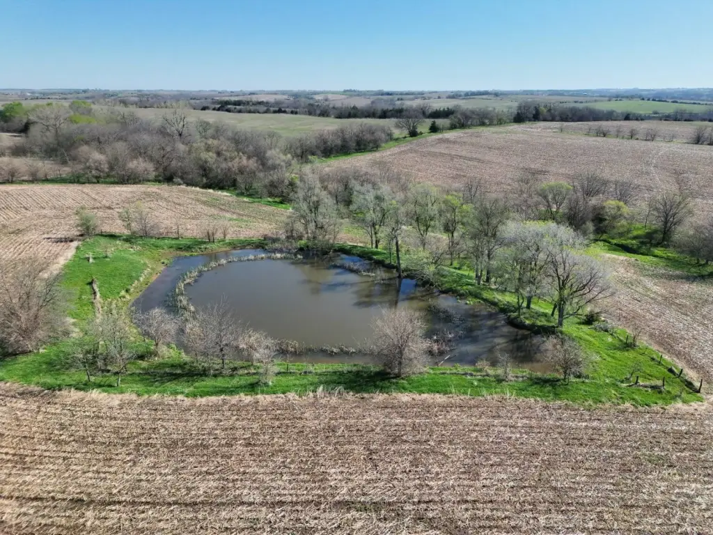
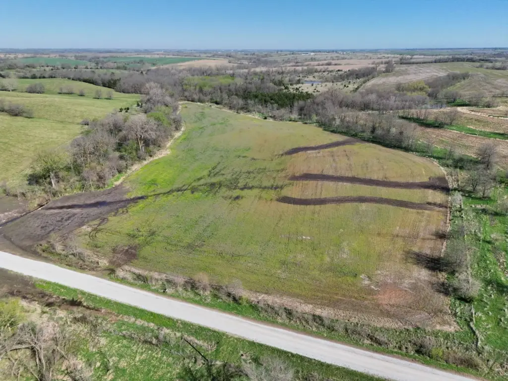
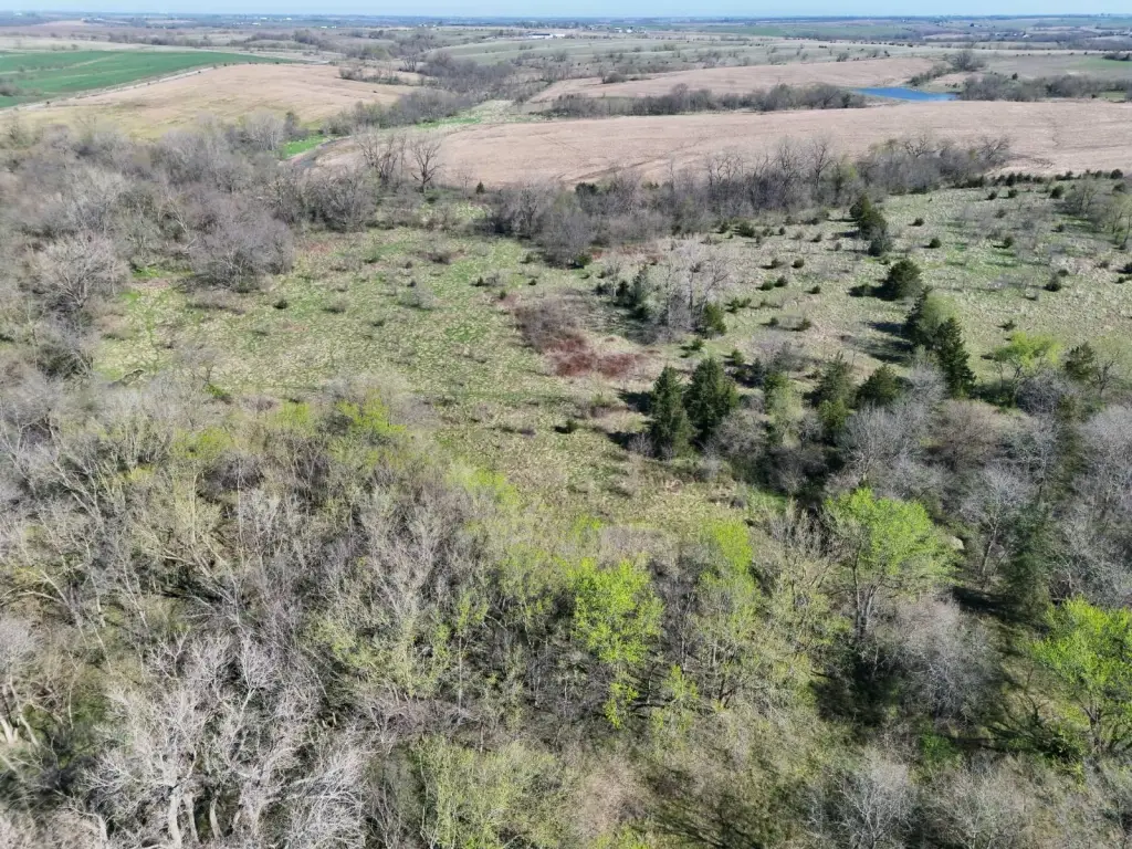
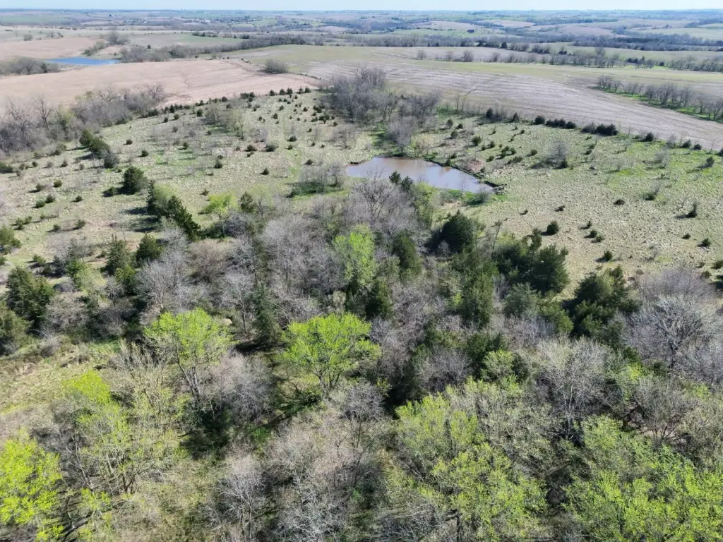
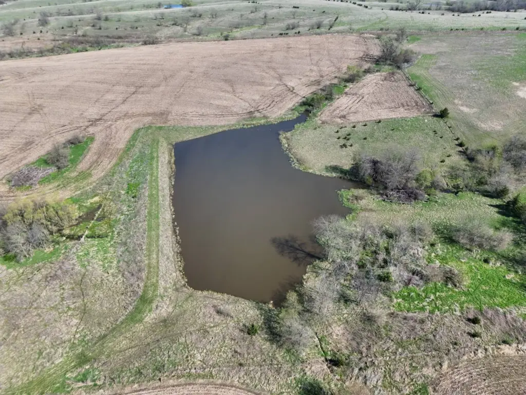
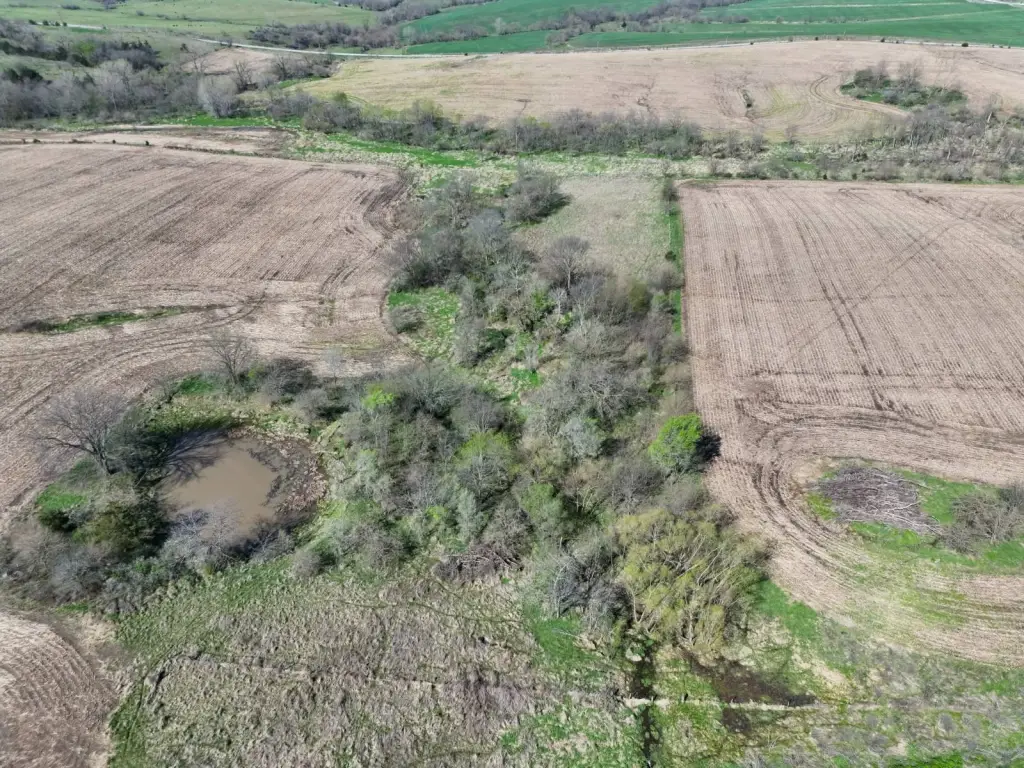
- Multiple ponds located throughout the farm to support water for livestock and wildlife
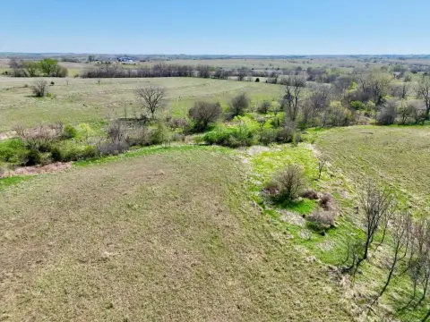
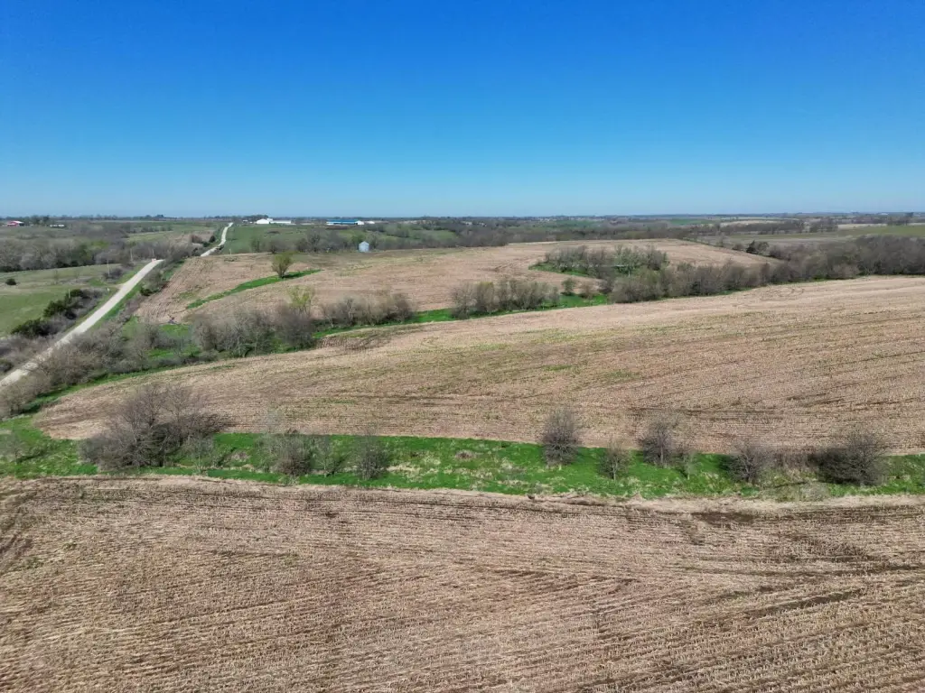
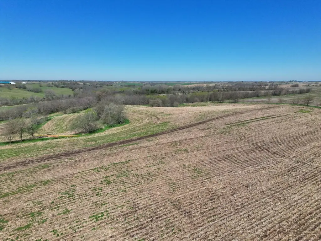
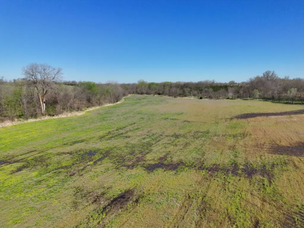
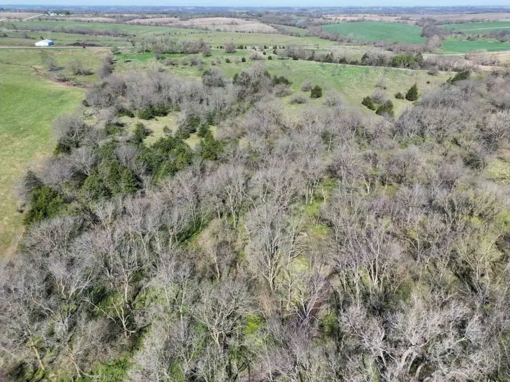
- Varied topography with elevation changes, natural pinch points, and secluded pockets
- Multiple entry points provide strong access for farm management and discreet movement to hunting areas
- Open ground, cover, and terrain diversity create a functional layout for both agriculture and recreation
Overview
Access is a major strength, with multiple entry points allowing for efficient farm management and discreet access to key hunting areas. The combination of open ground, areas of cover, and terrain diversity creates a practical layout that supports day-to-day operations while offering multiple options for recreational use.
For buyers seeking a working farm with meaningful acreage in production, the tillable component and soil productivity metrics provide a clear foundation. For outdoor recreation-minded operators, the pond system and varied ground offer built-in features for wildlife habitat and hunting strategy. With multiple access points and a cohesive mixture of open areas and cover, this tract is designed to be functional across both agricultural and recreational objectives.
Current Use by Public Records
Map
- City
- Redding
- County
- Ringgold
- State
- Iowa
- Longitude
- -94.337448
- Latitude
- 40.634211