TBD Hwy 169, Redding, IA 50860


- Added:
- Apr 21, 2026
- Days on Market:
- 68
- Last Refresh:
- Jun 27 at 5:06 pm
Property Features for TBD Hwy 169
General Information
- Property type
- Land
- Property subtype
- Other
- Parking features
- Garage
- Standard status
- Active
- Lot size
- 1,232.04 Acres
Taxes and HOA fees
- Tax Annual Amount
- 0
Building Details
- Architectural style
- Other
Listing agent Nick Hopp (319) 559-2345
Listing office High Point Land Company, LLC 520 Main Street South, Stewartville, IA (319) 559-2345
Listing date Apr 21, 2026
Copyright © 2026 My State MLS. All rights reserved. All information provided by the listing agent/broker is deemed reliable but is not guaranteed and should be independently verified.
HighLights
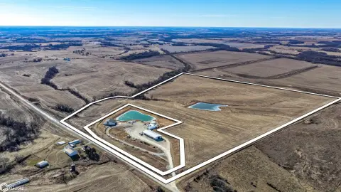
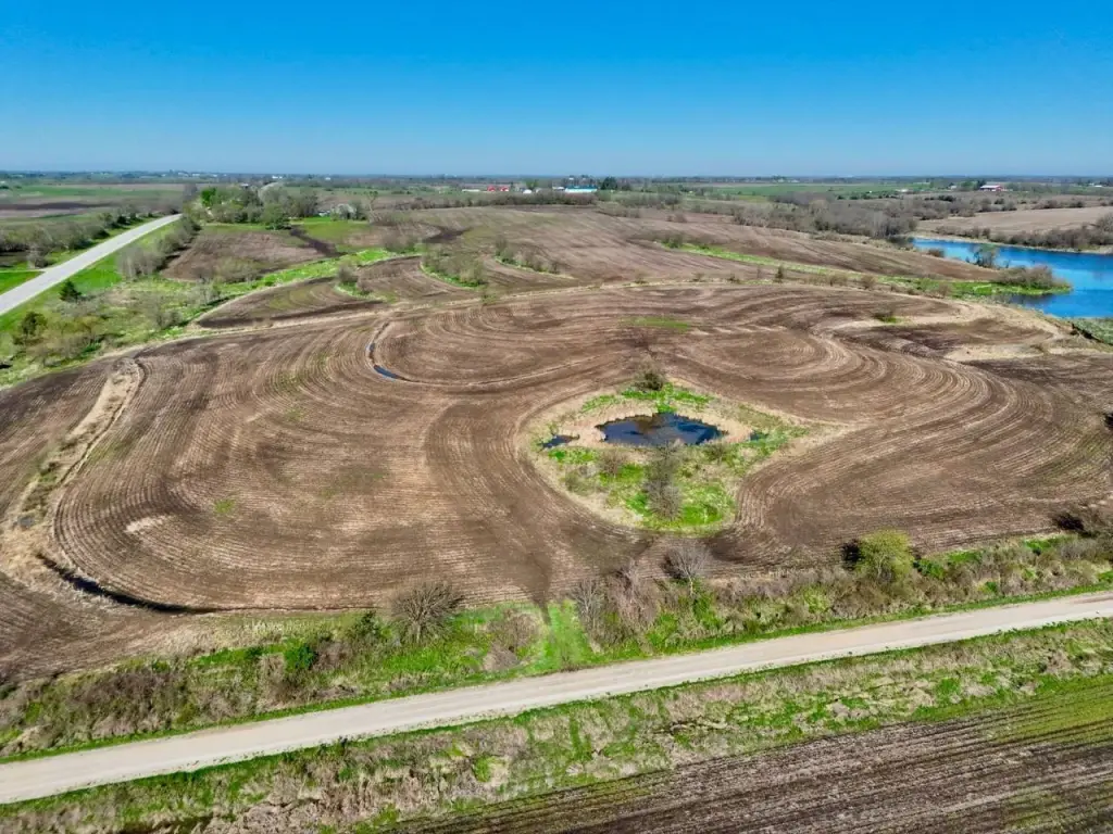
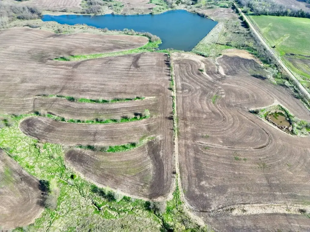
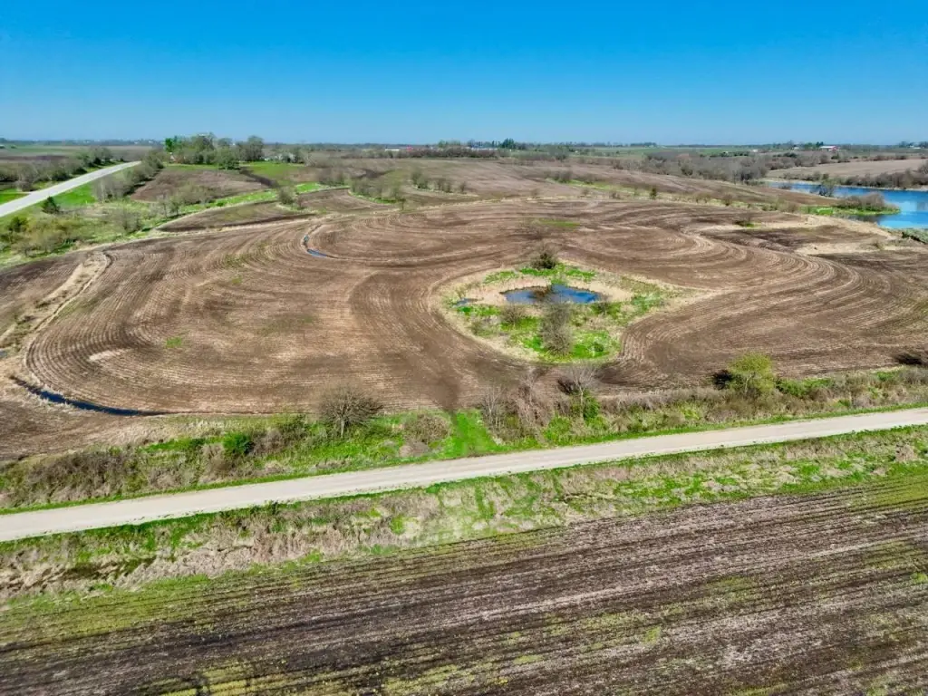
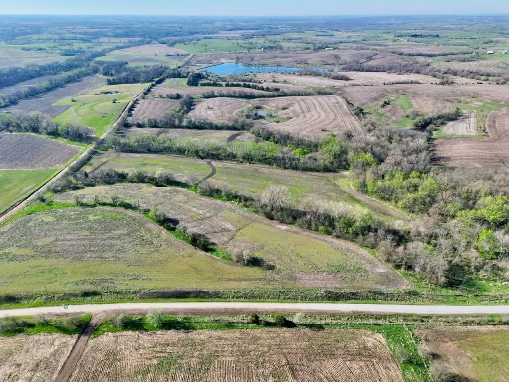
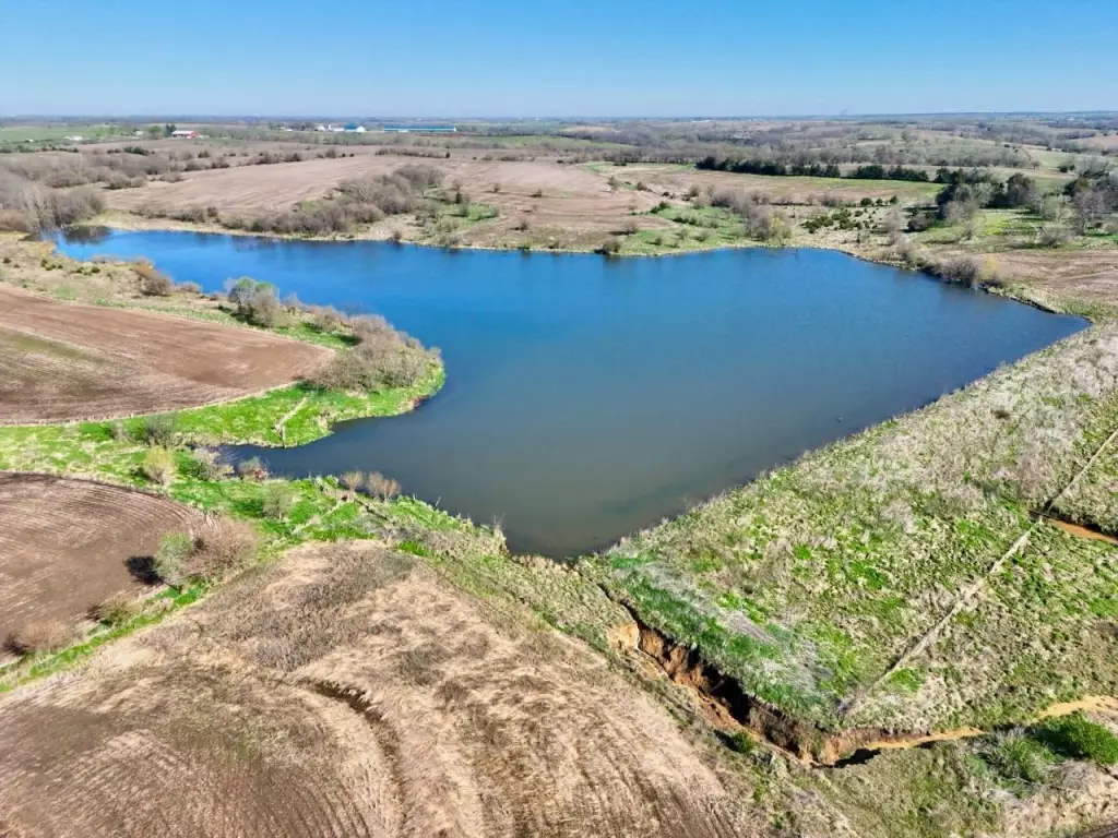
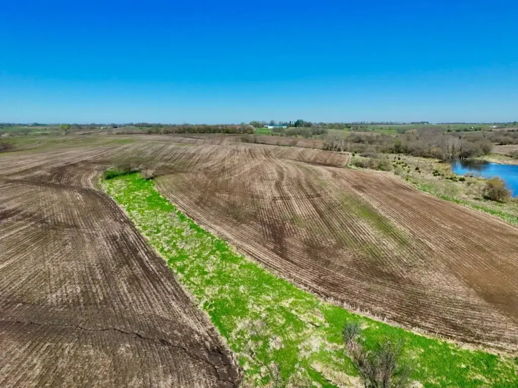
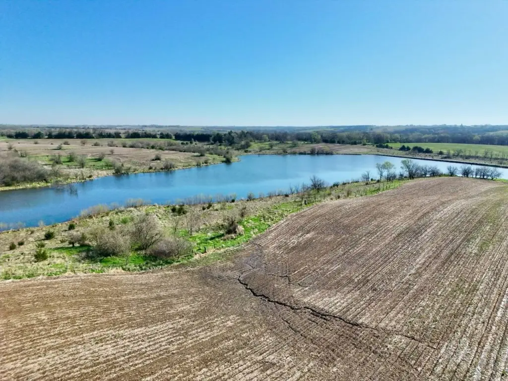
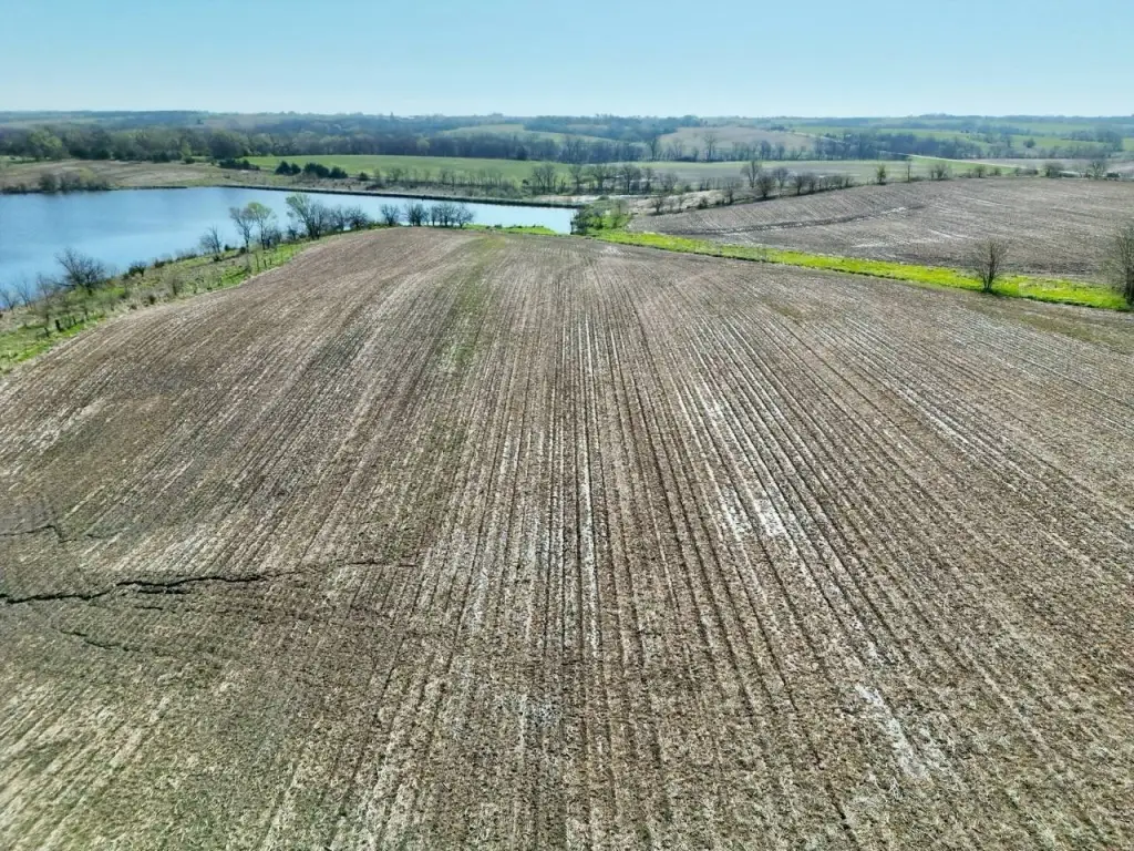
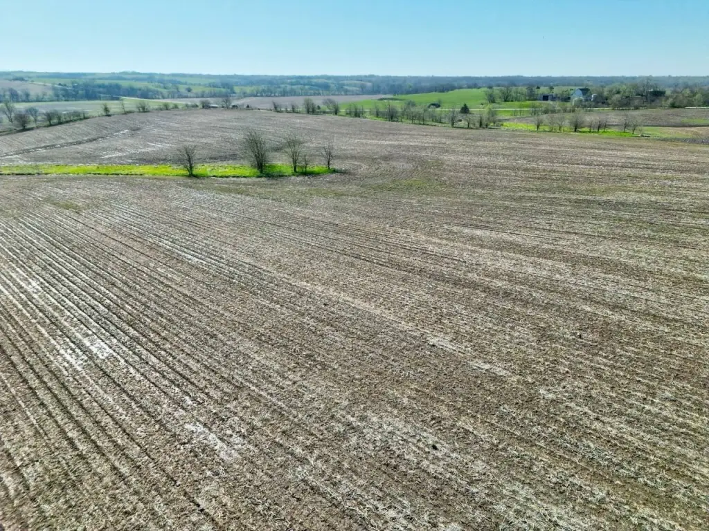
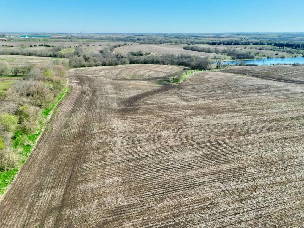
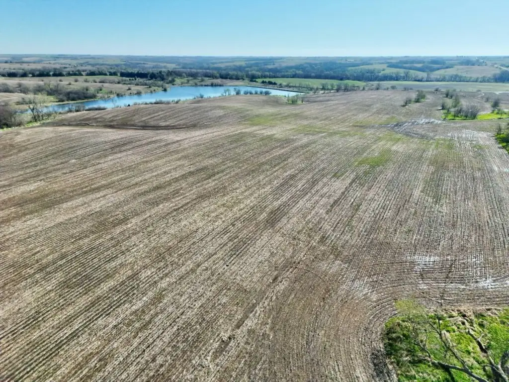
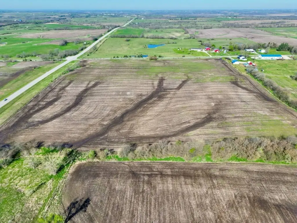
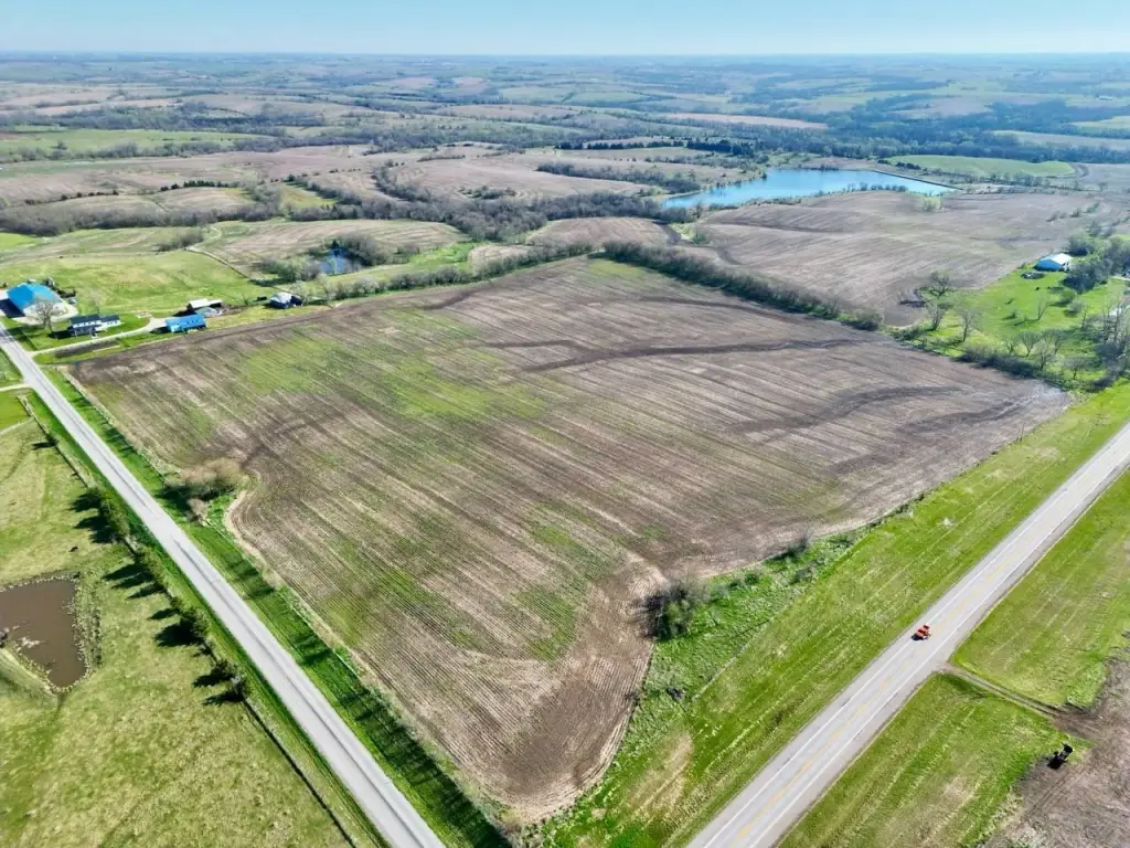
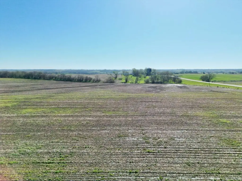
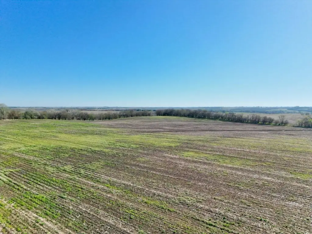
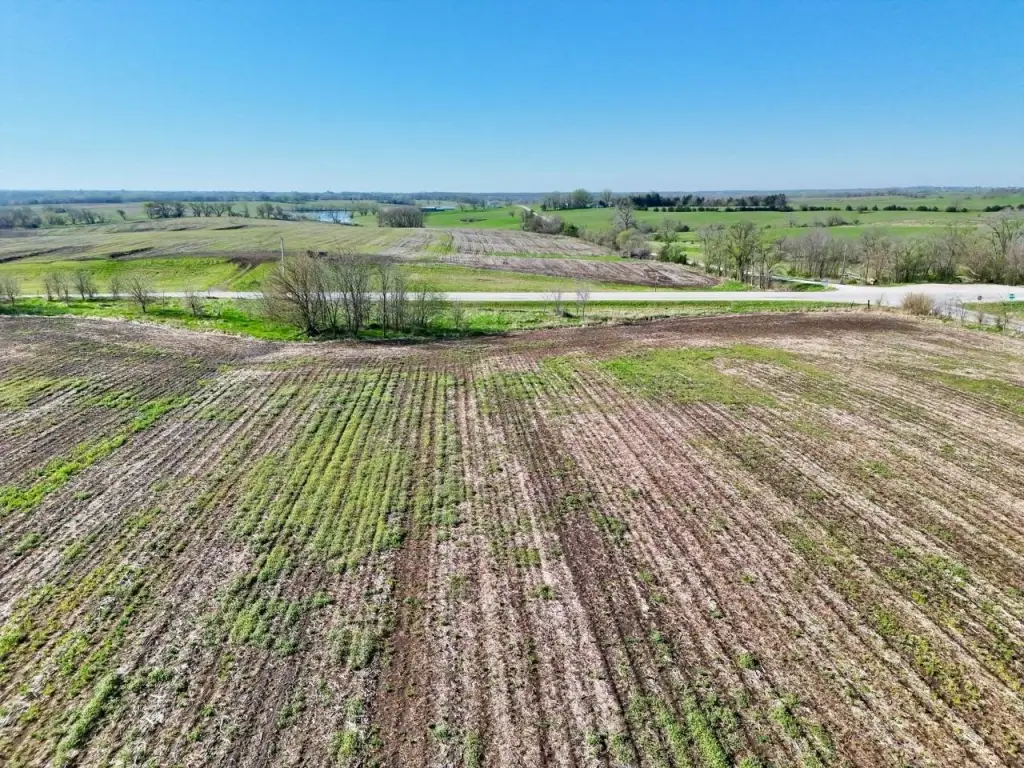
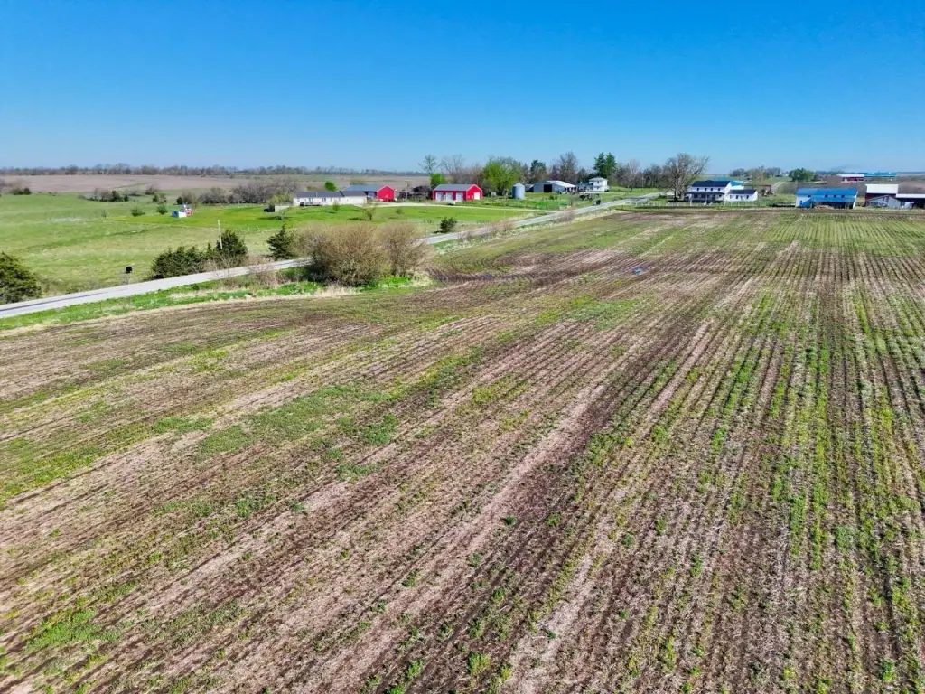
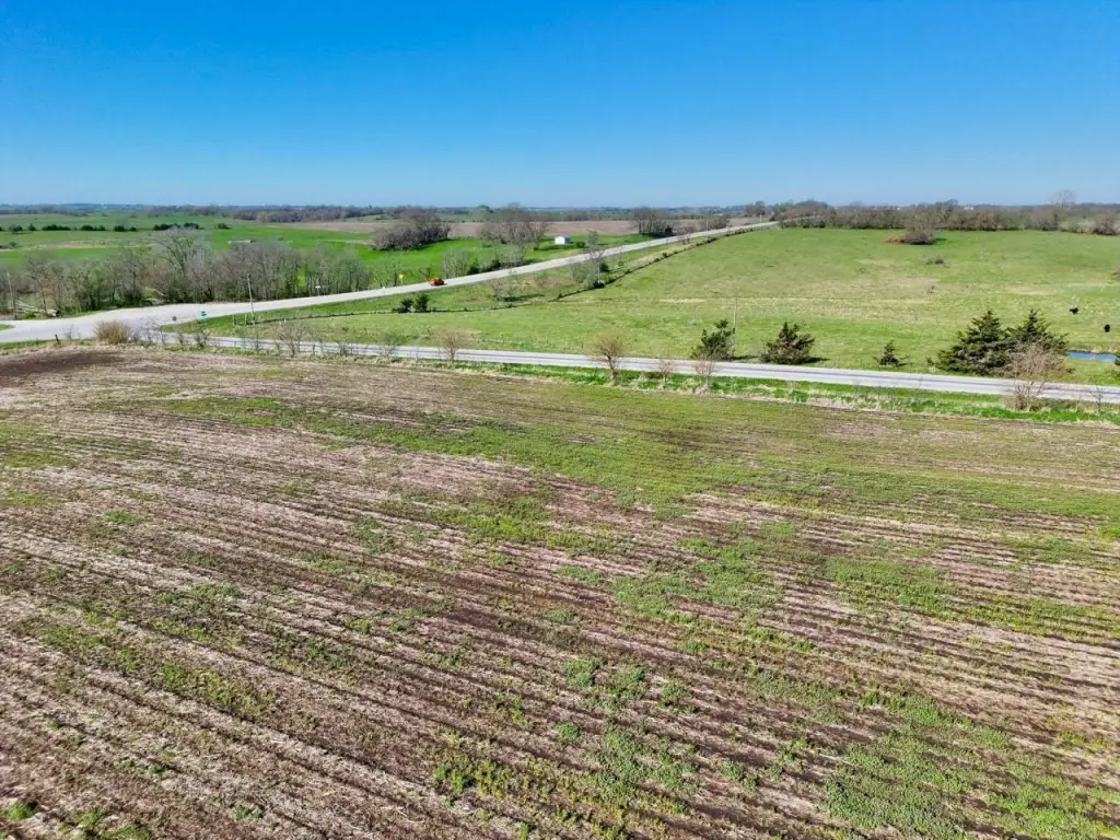
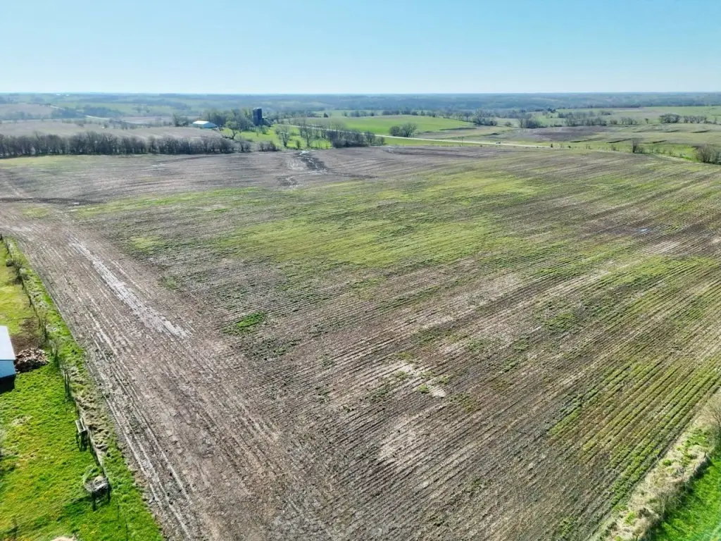
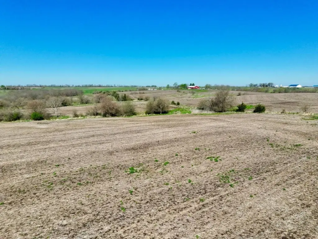
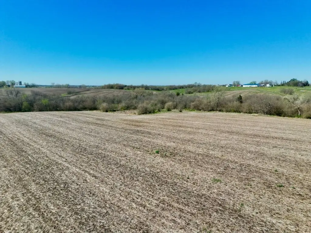
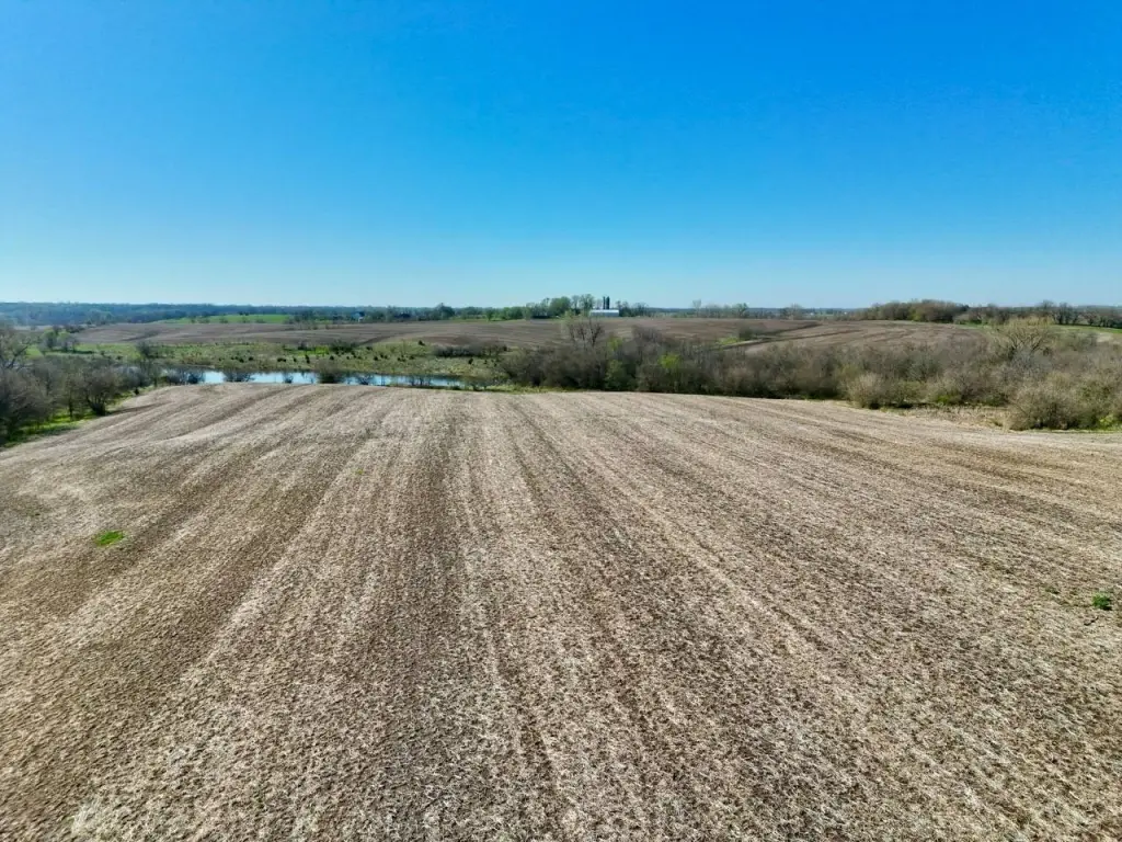
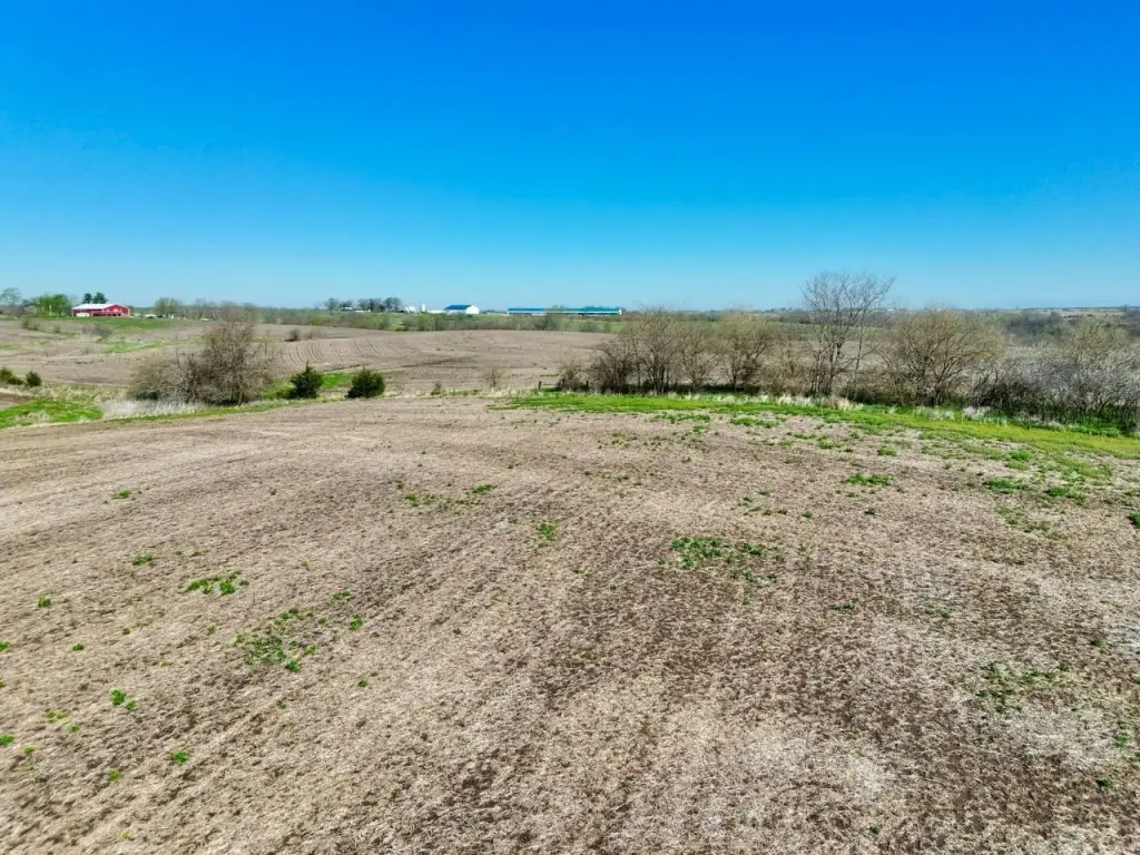
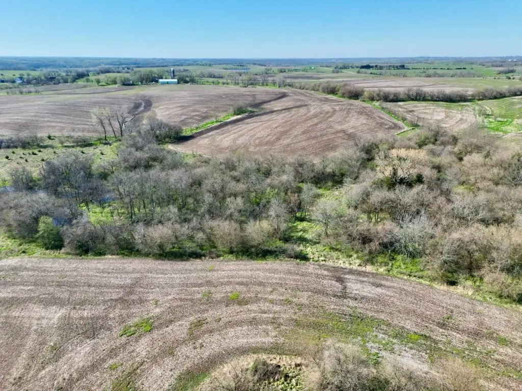
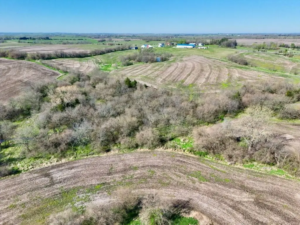
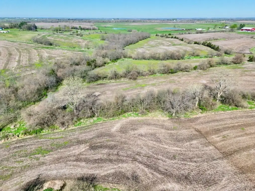
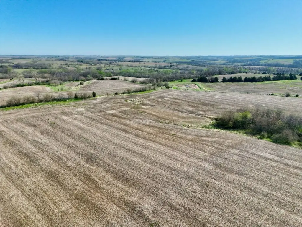
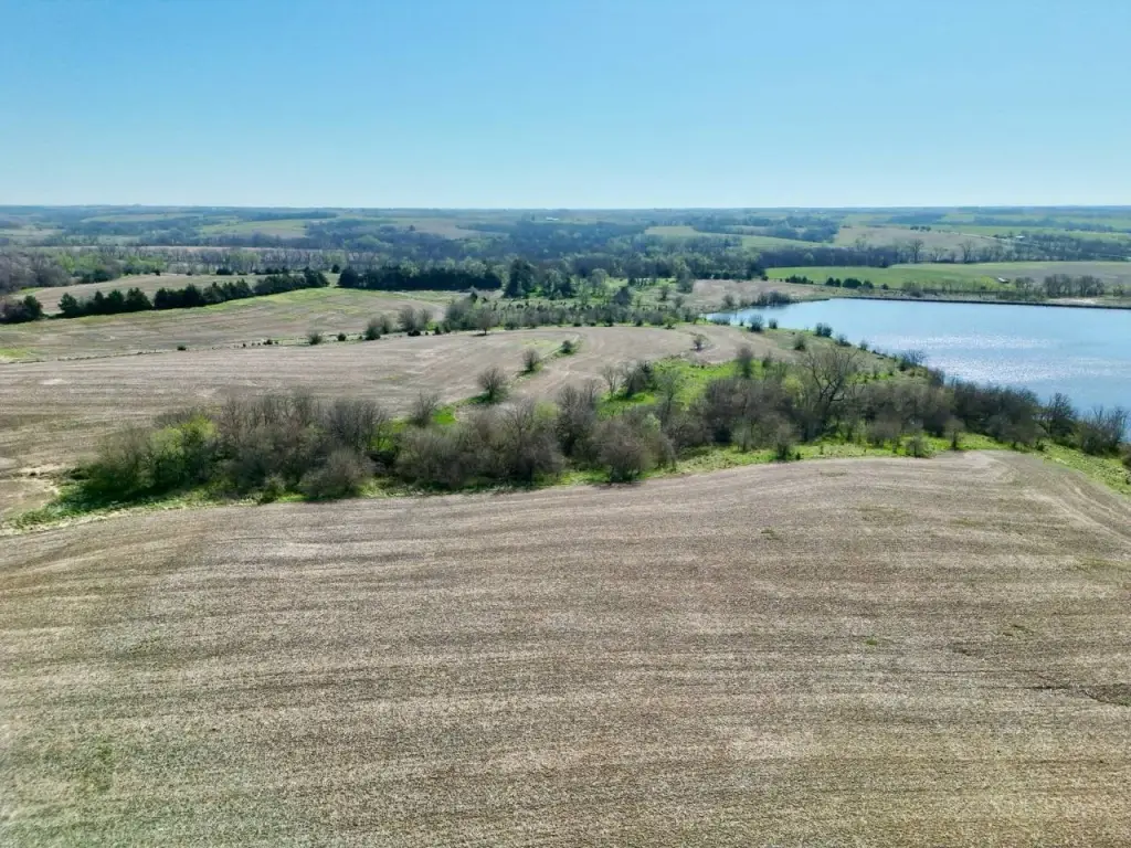
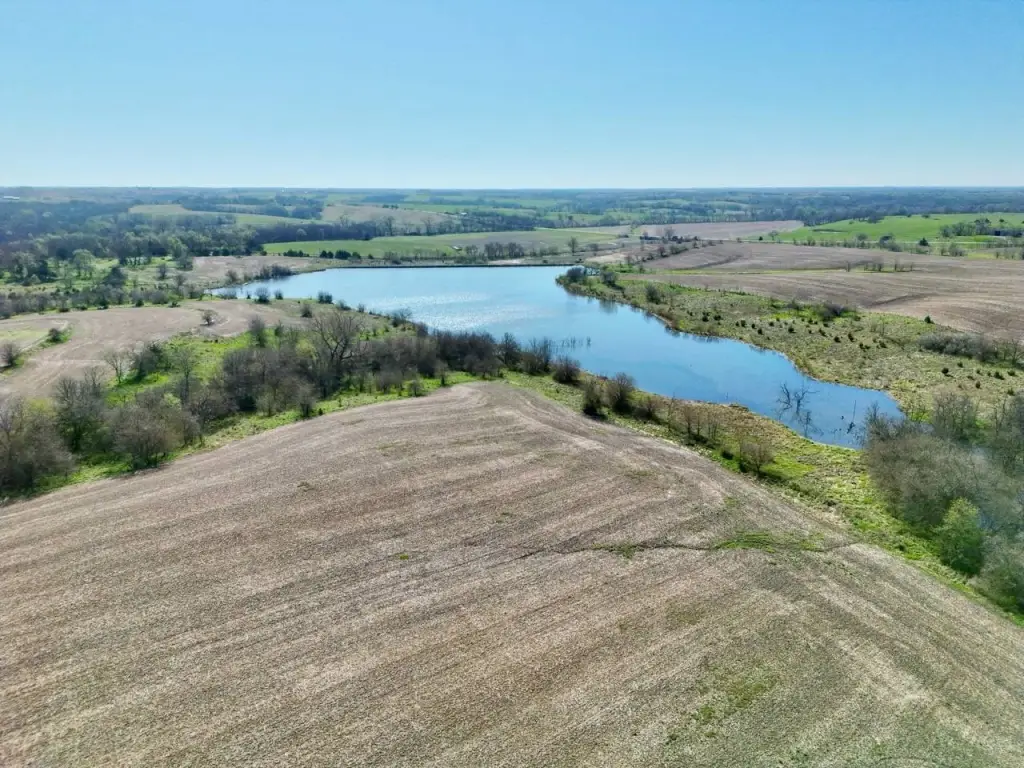
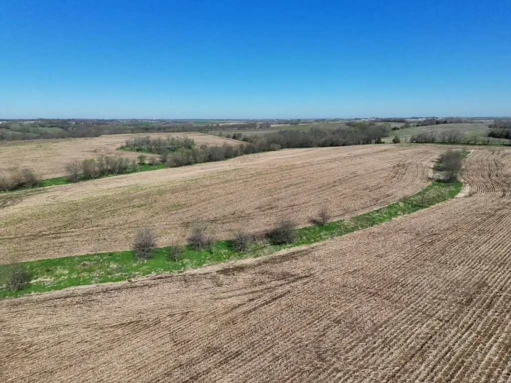
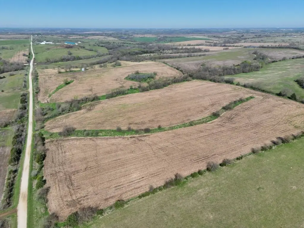
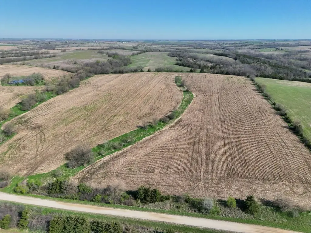
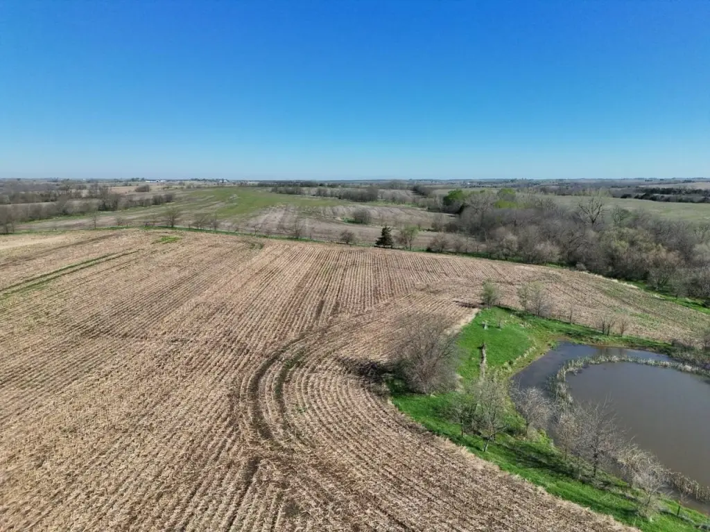
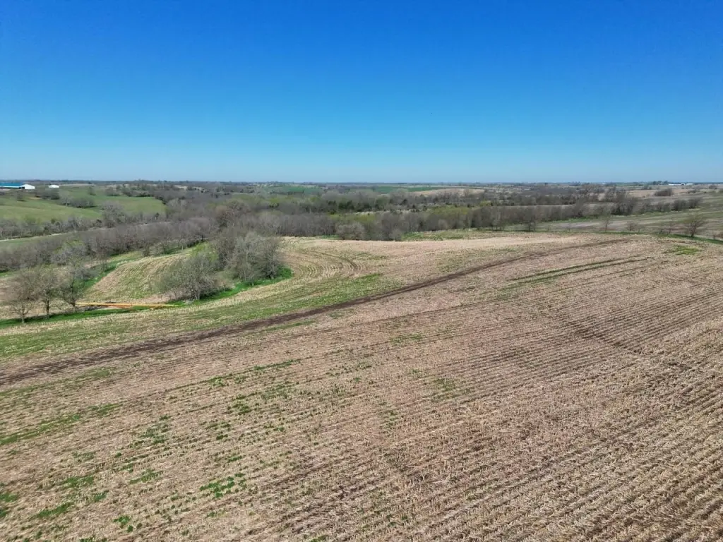
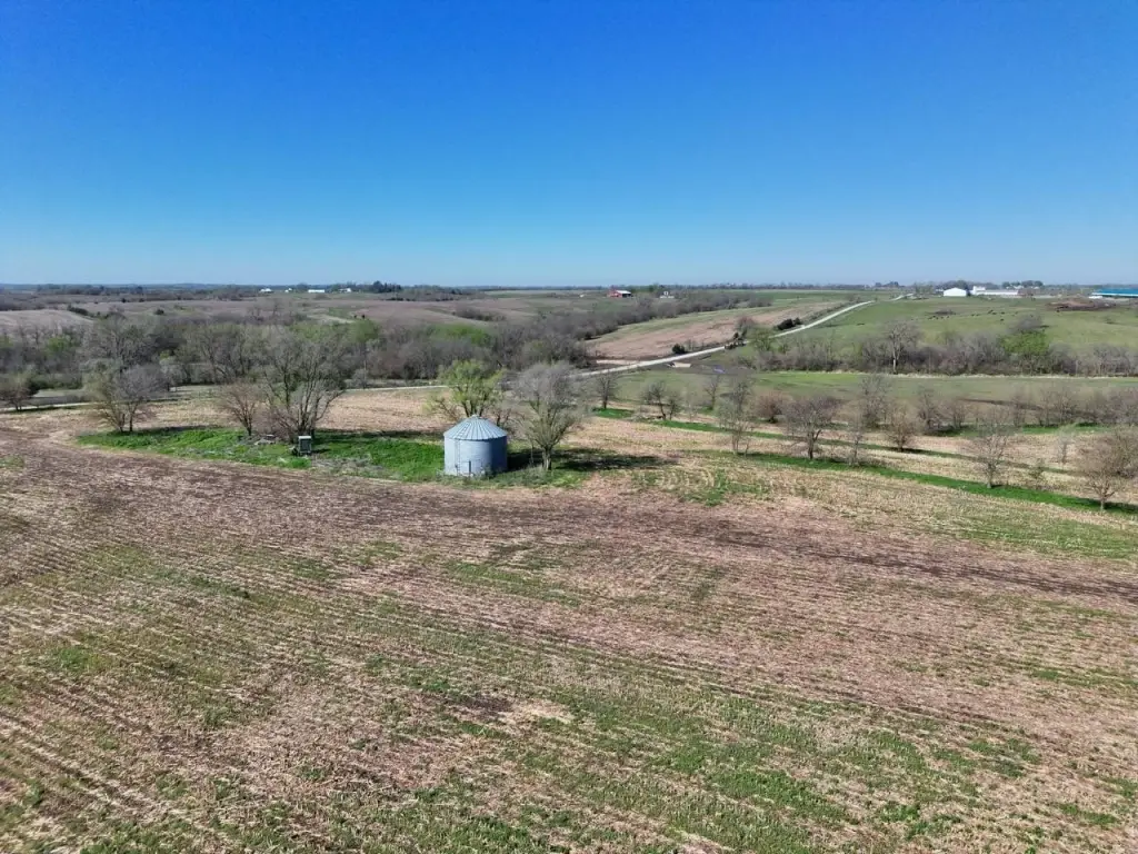
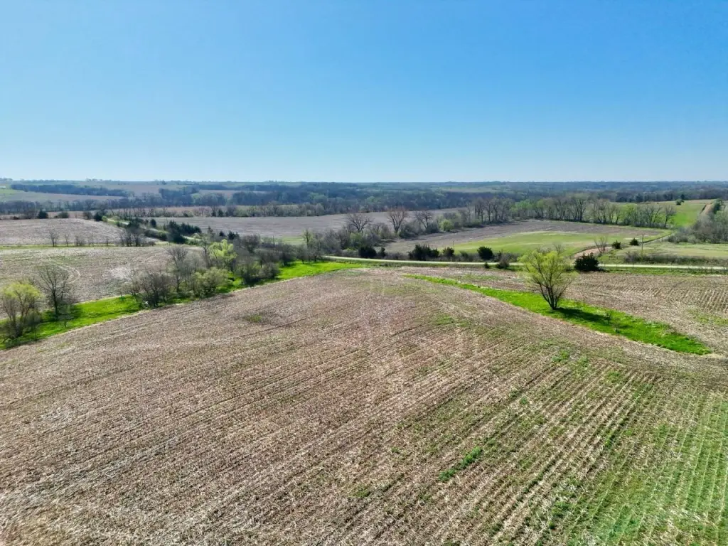
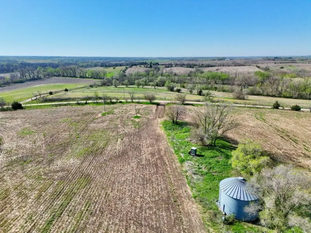
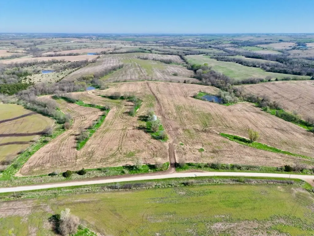
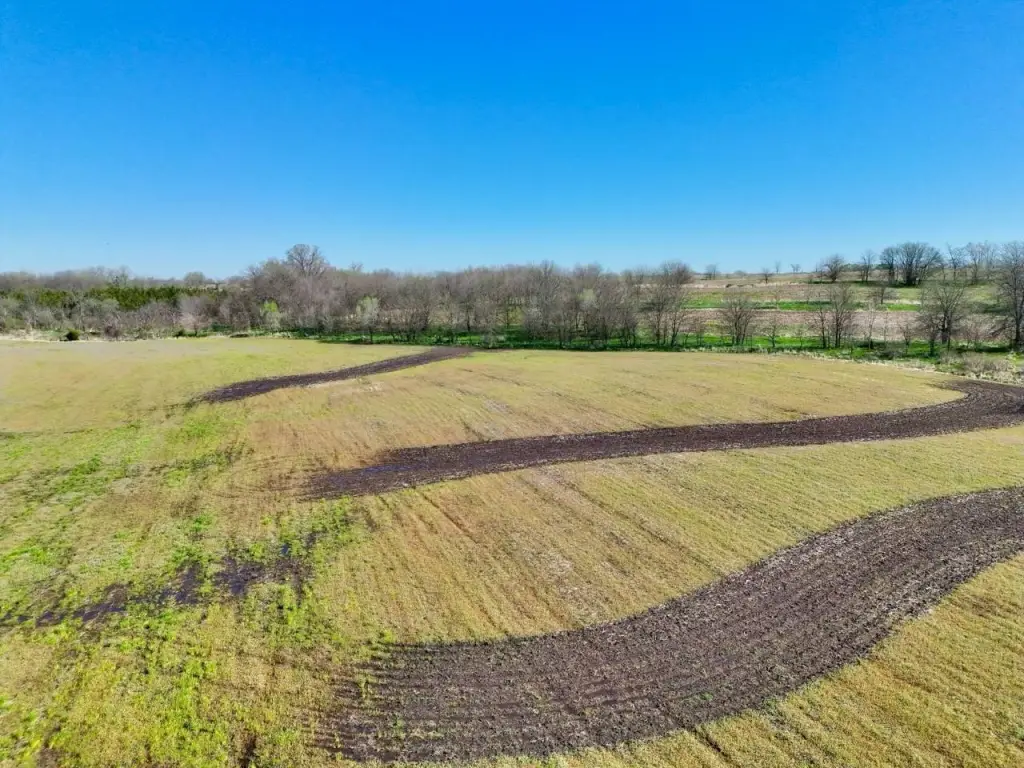
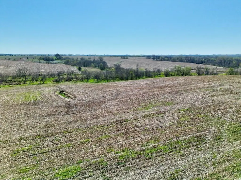
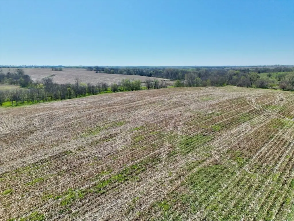
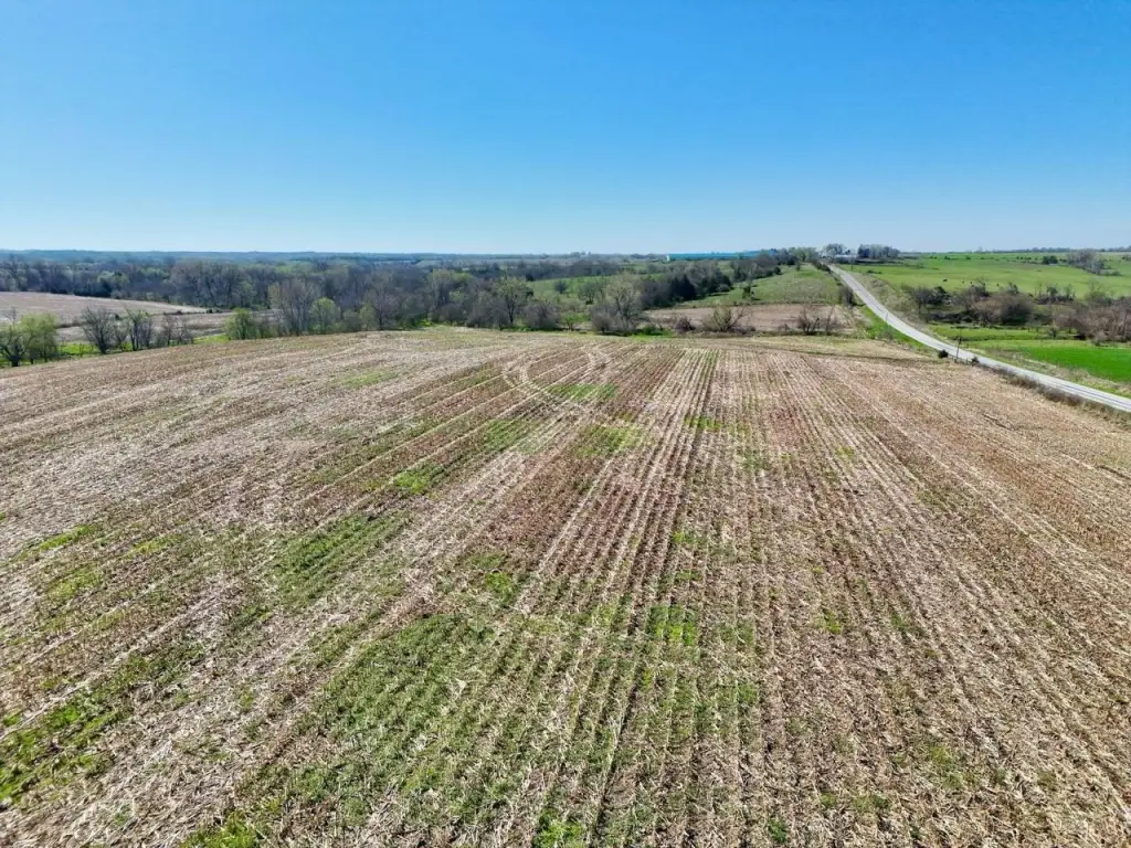
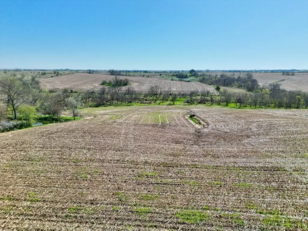
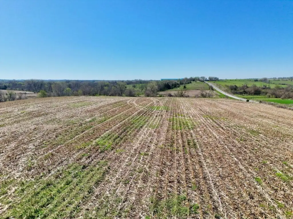
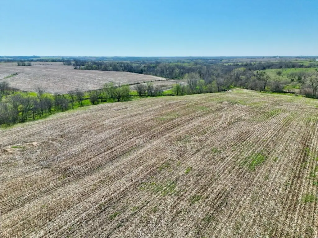
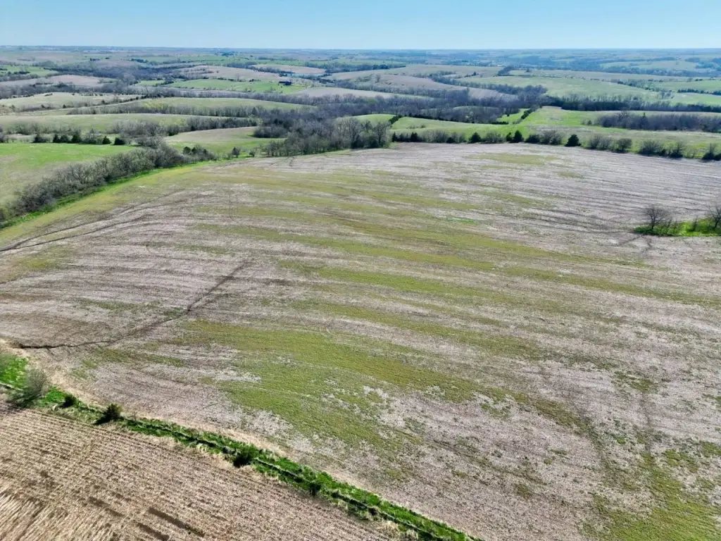
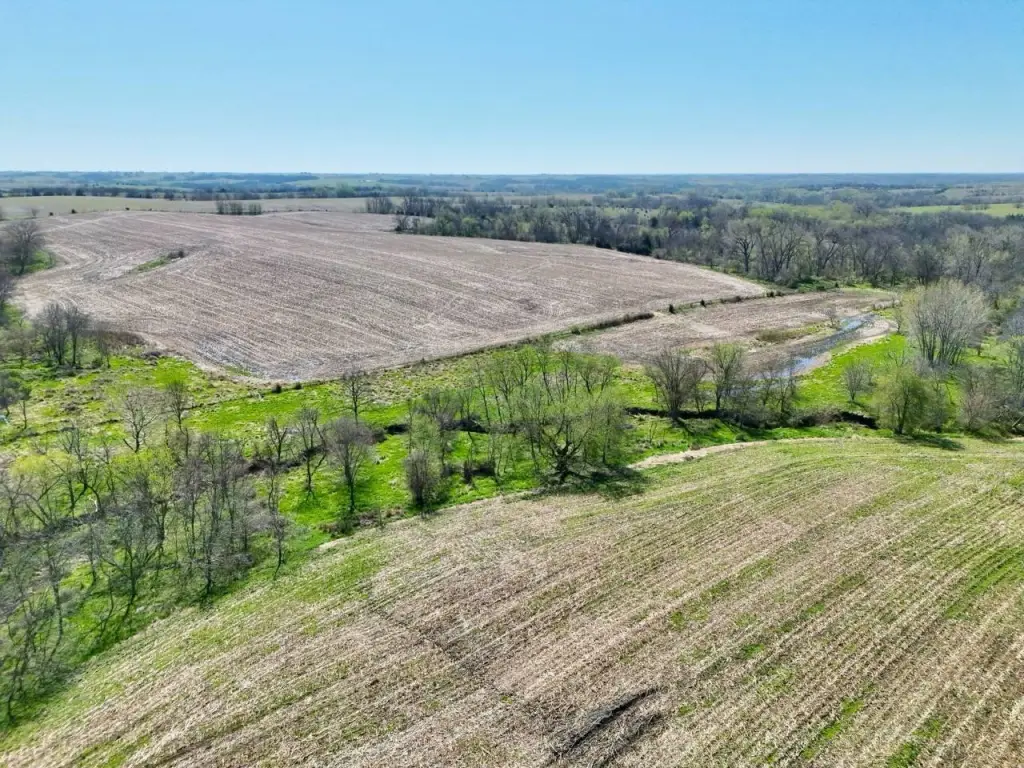
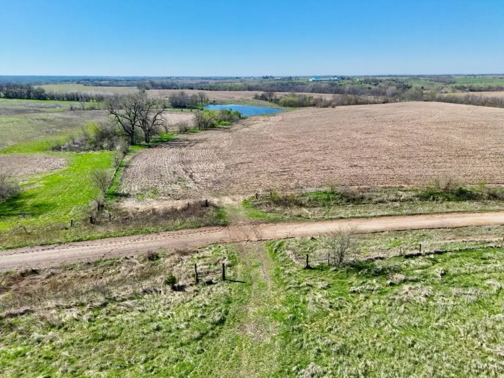
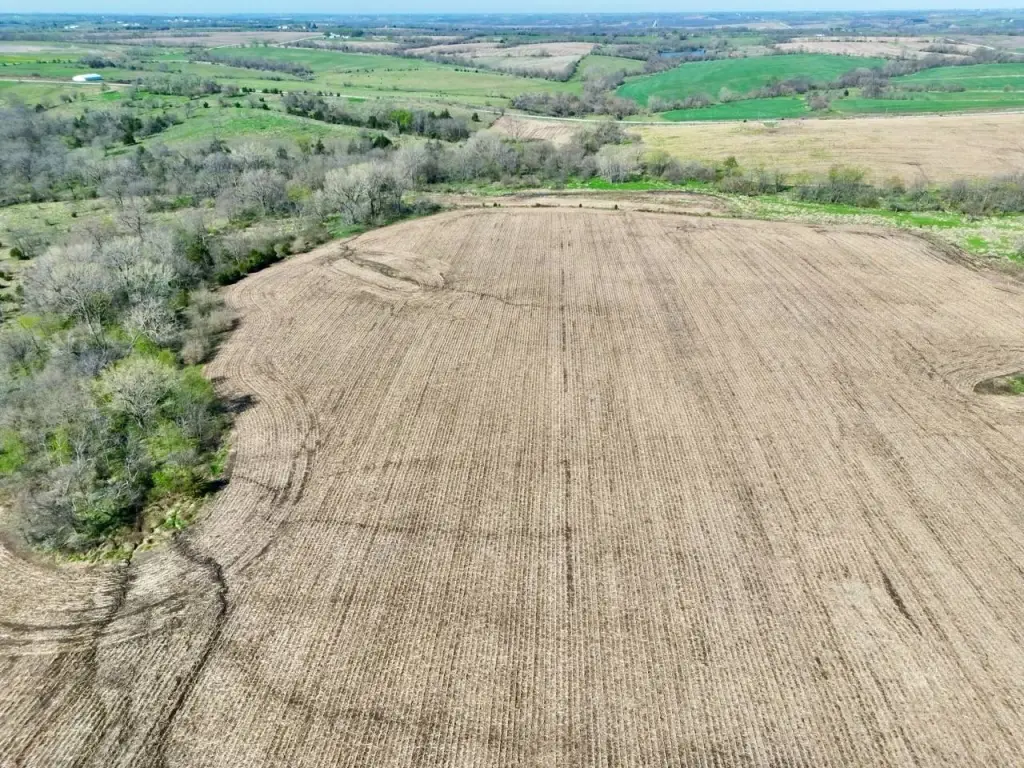
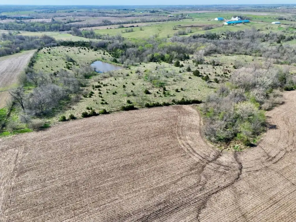
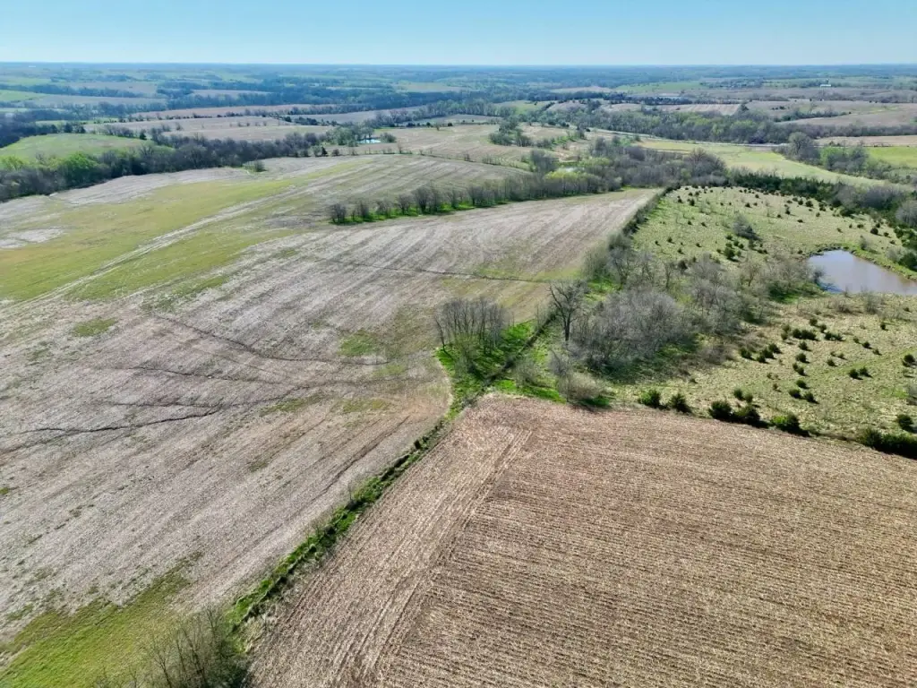
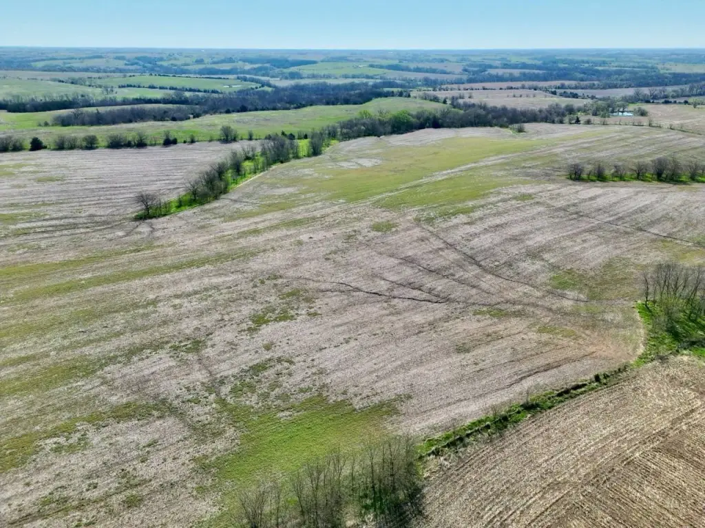
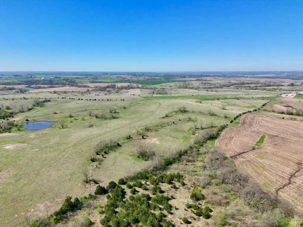
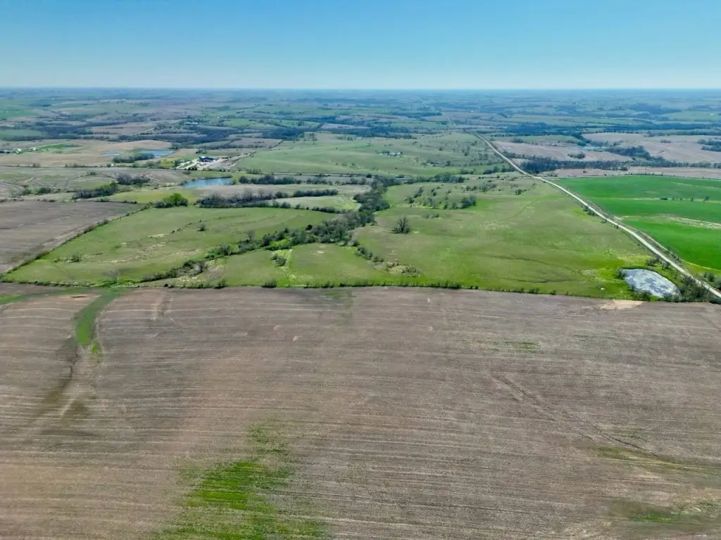
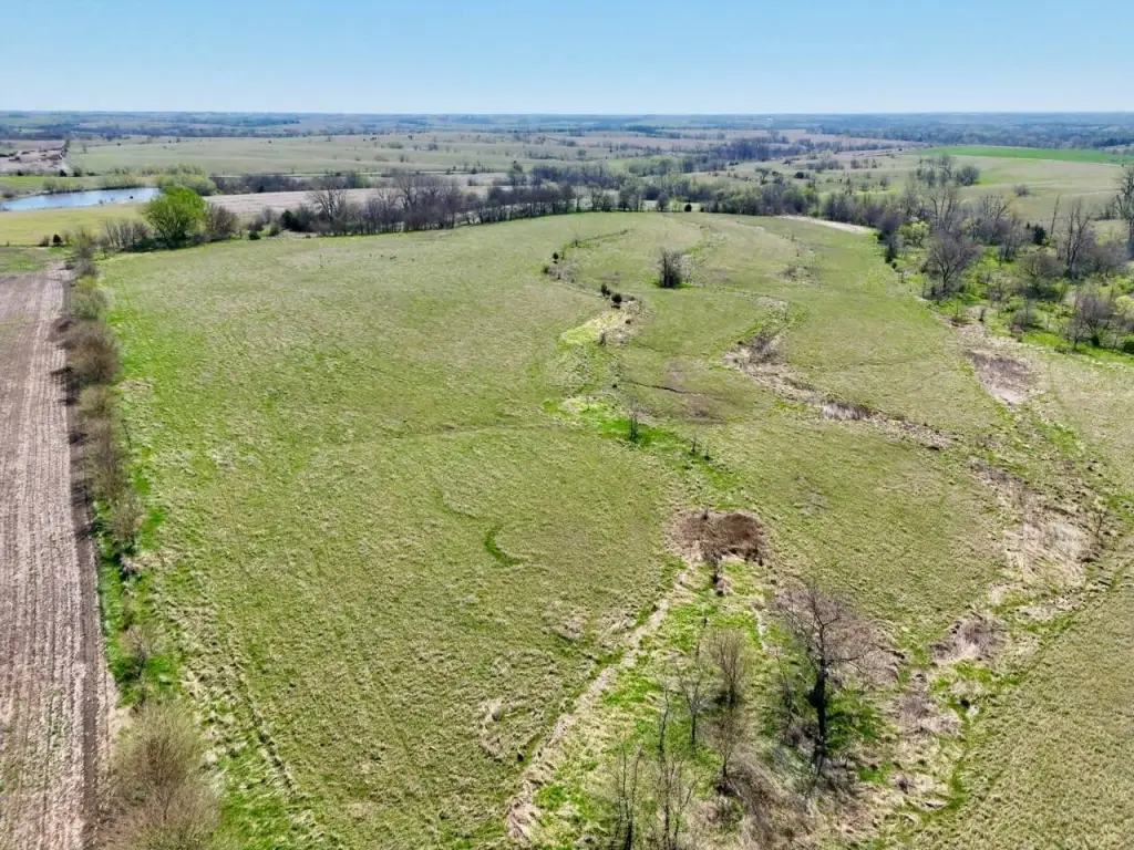
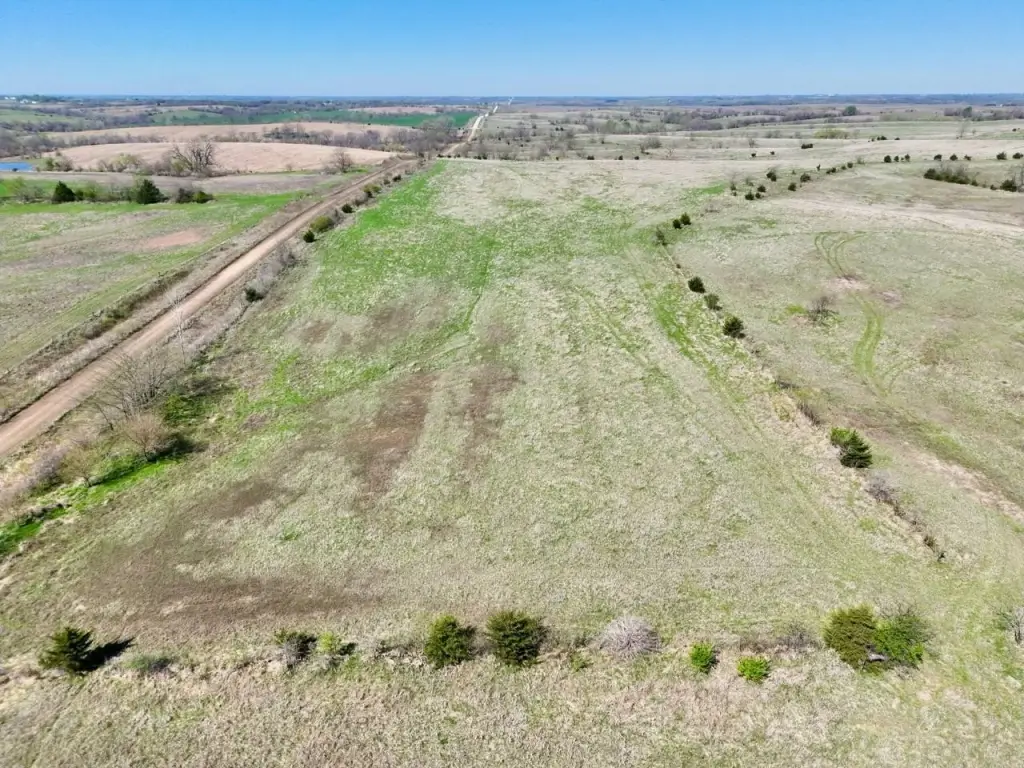
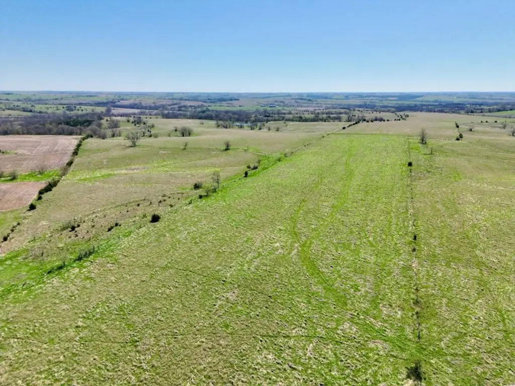
- 1,232+/- acre contiguous property in Rice Township, Ringgold County, Iowa, offered with preference to sell as a whole
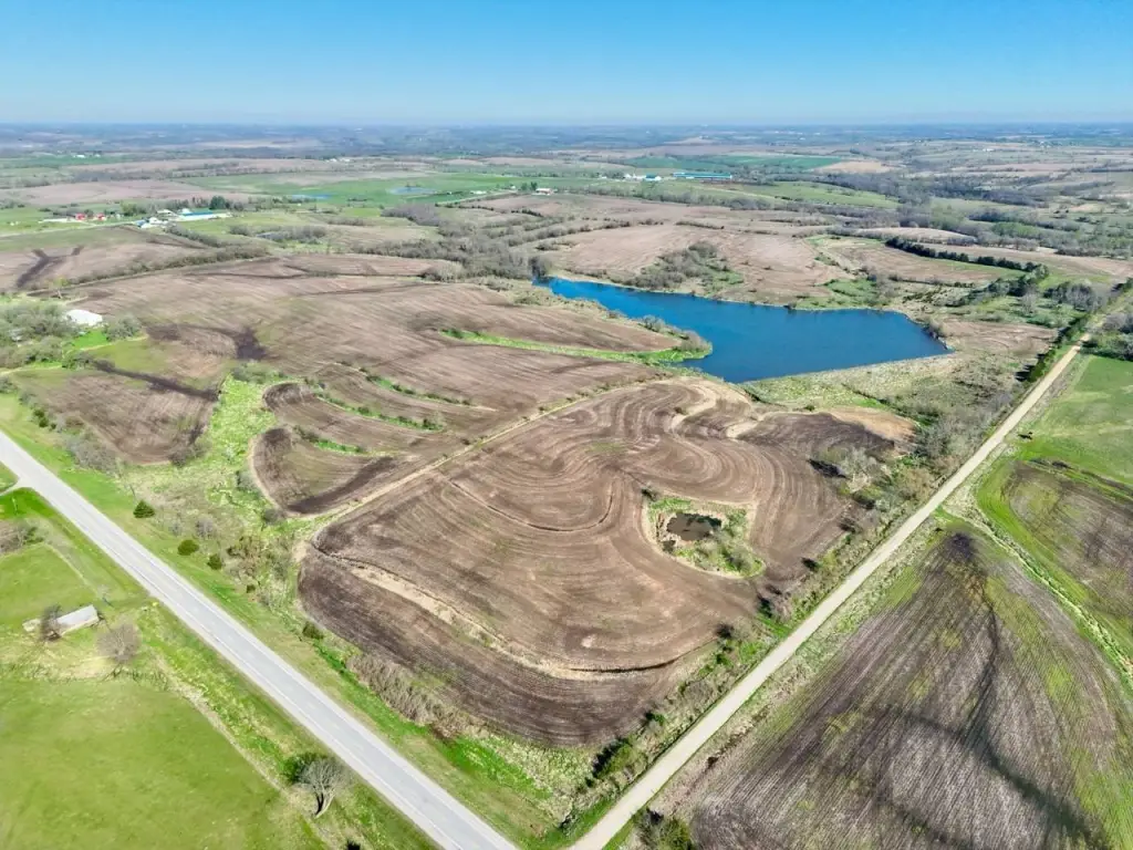
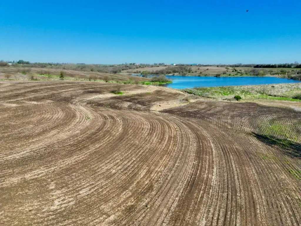
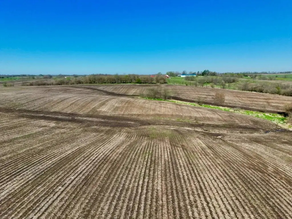
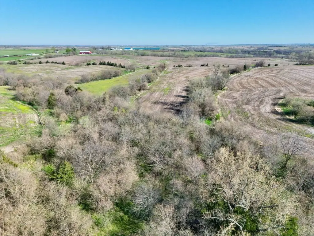
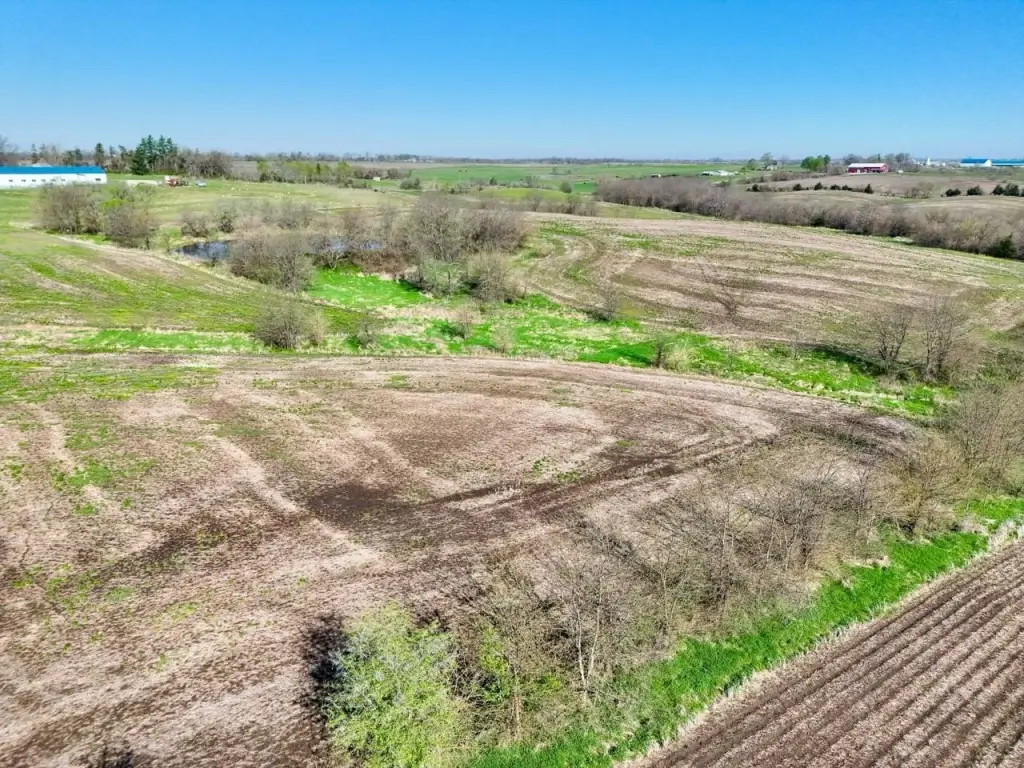
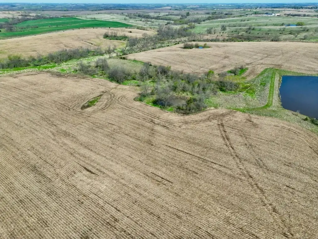
- 947+/- acres of certified cropland (productive tillable base)
- Established CRP contracts providing a reliable annual income stream
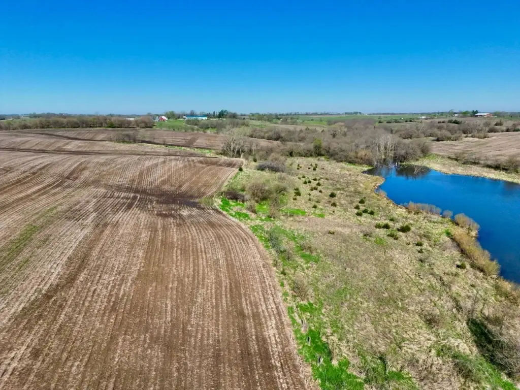
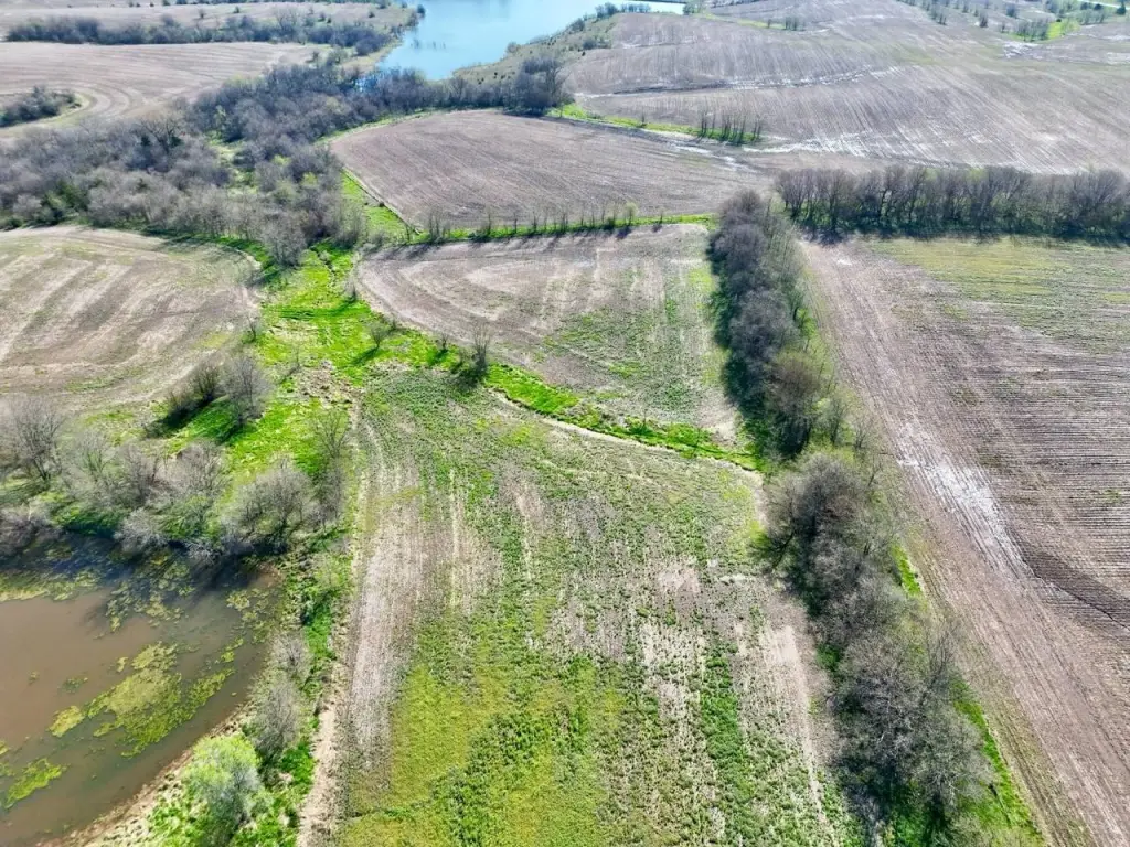
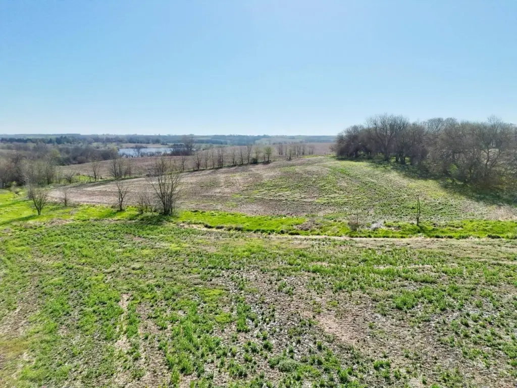
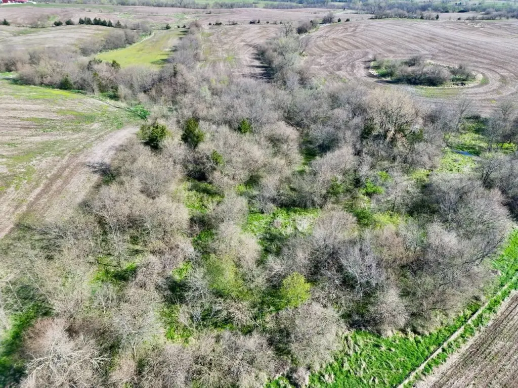
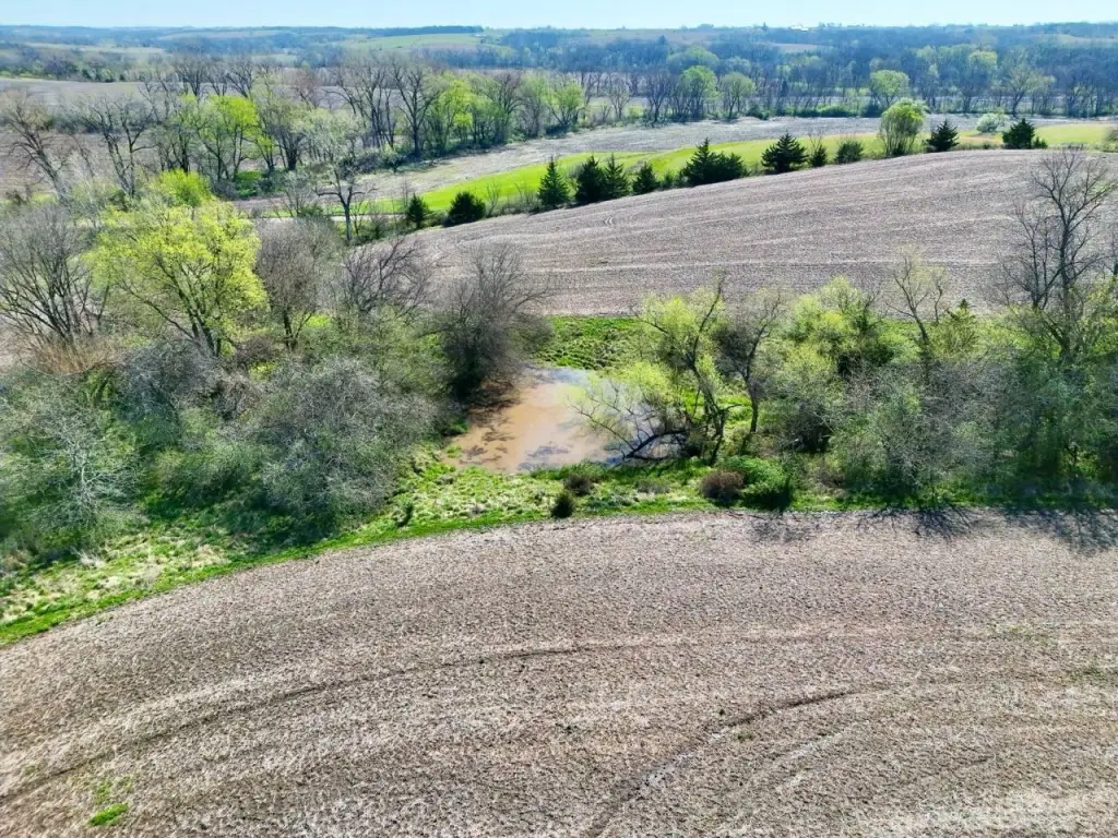
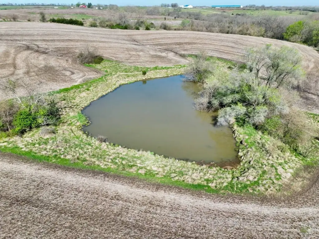
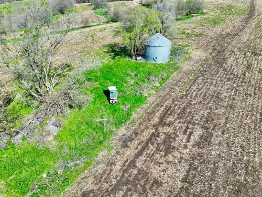
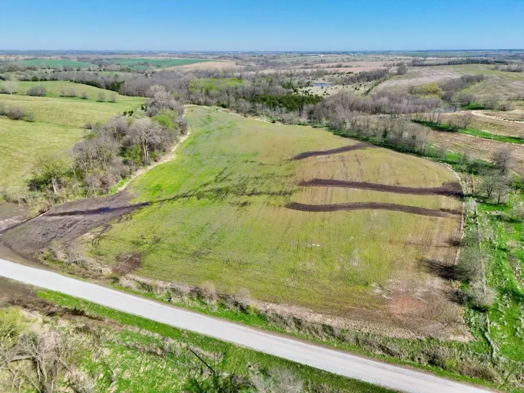
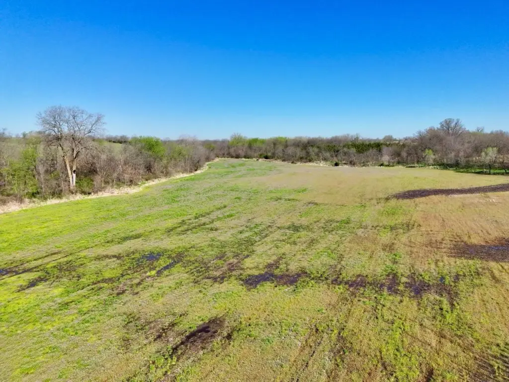
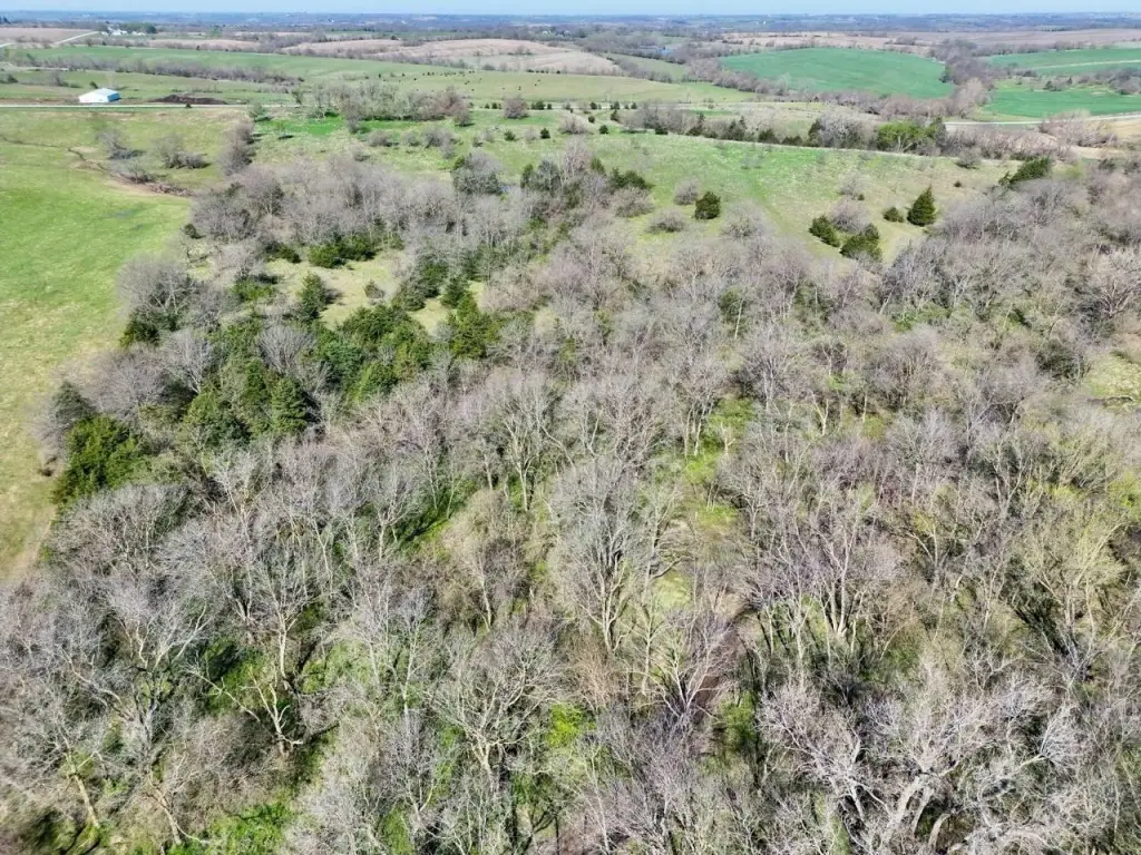
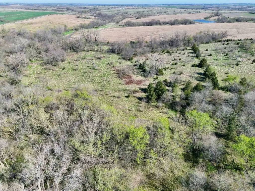
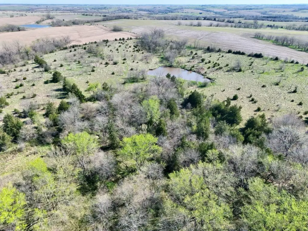
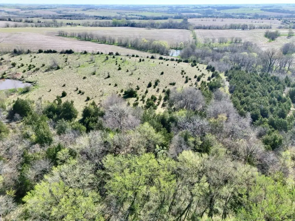
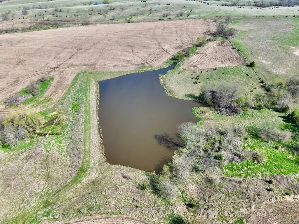
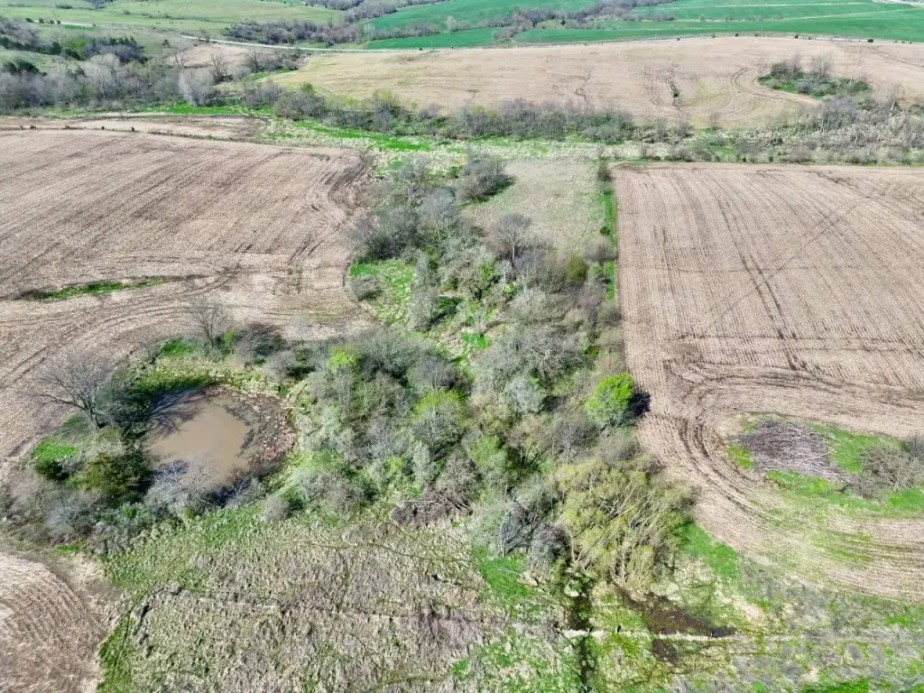
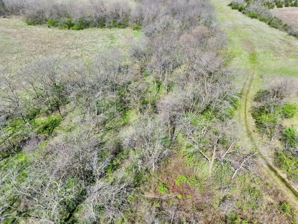
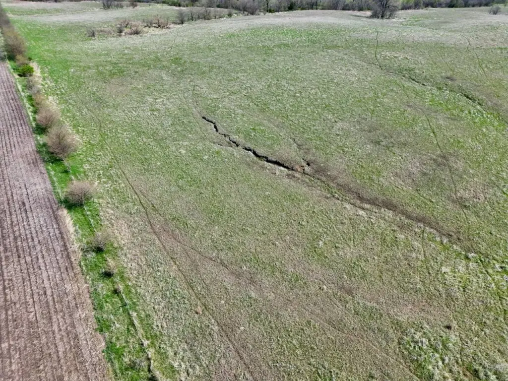
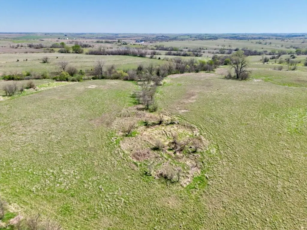
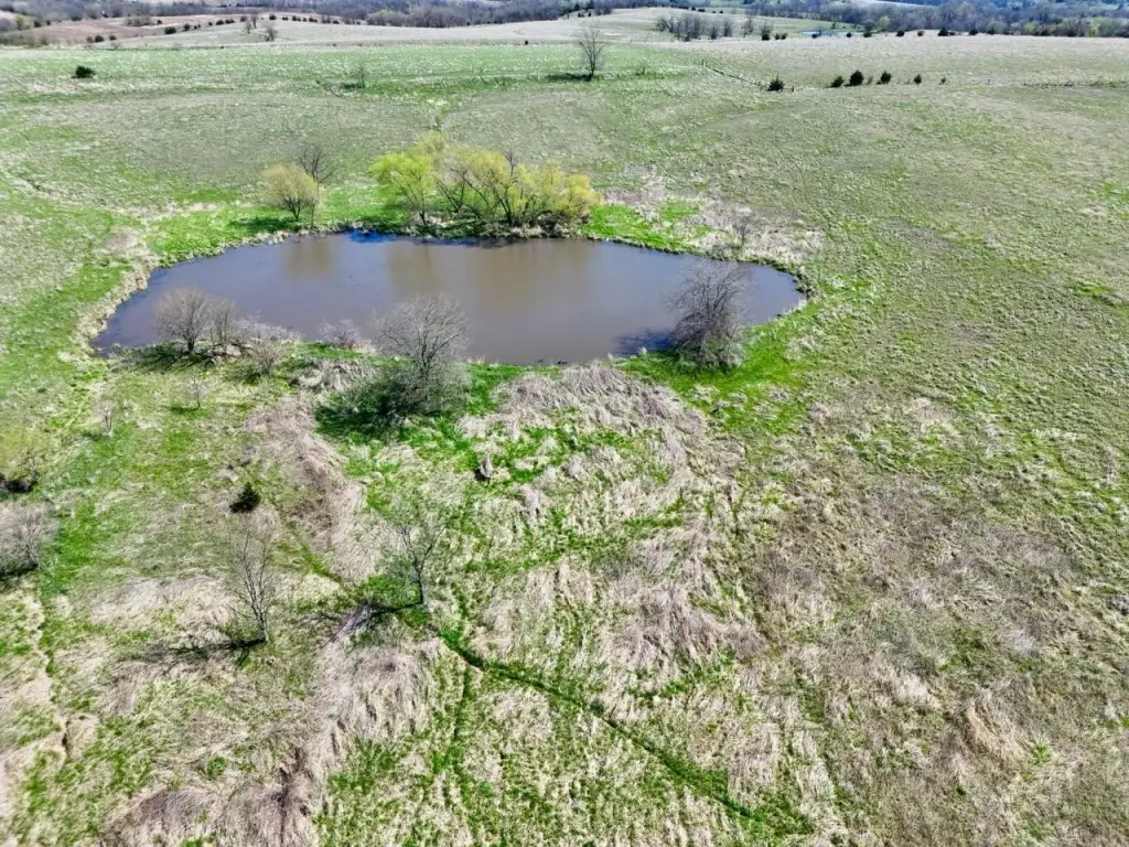
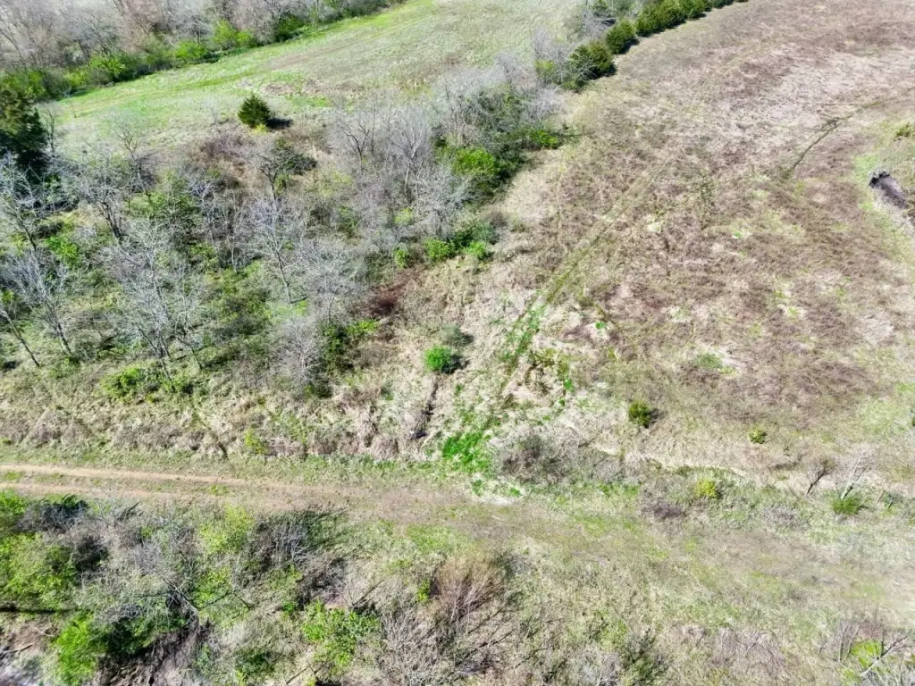
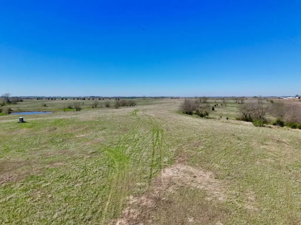
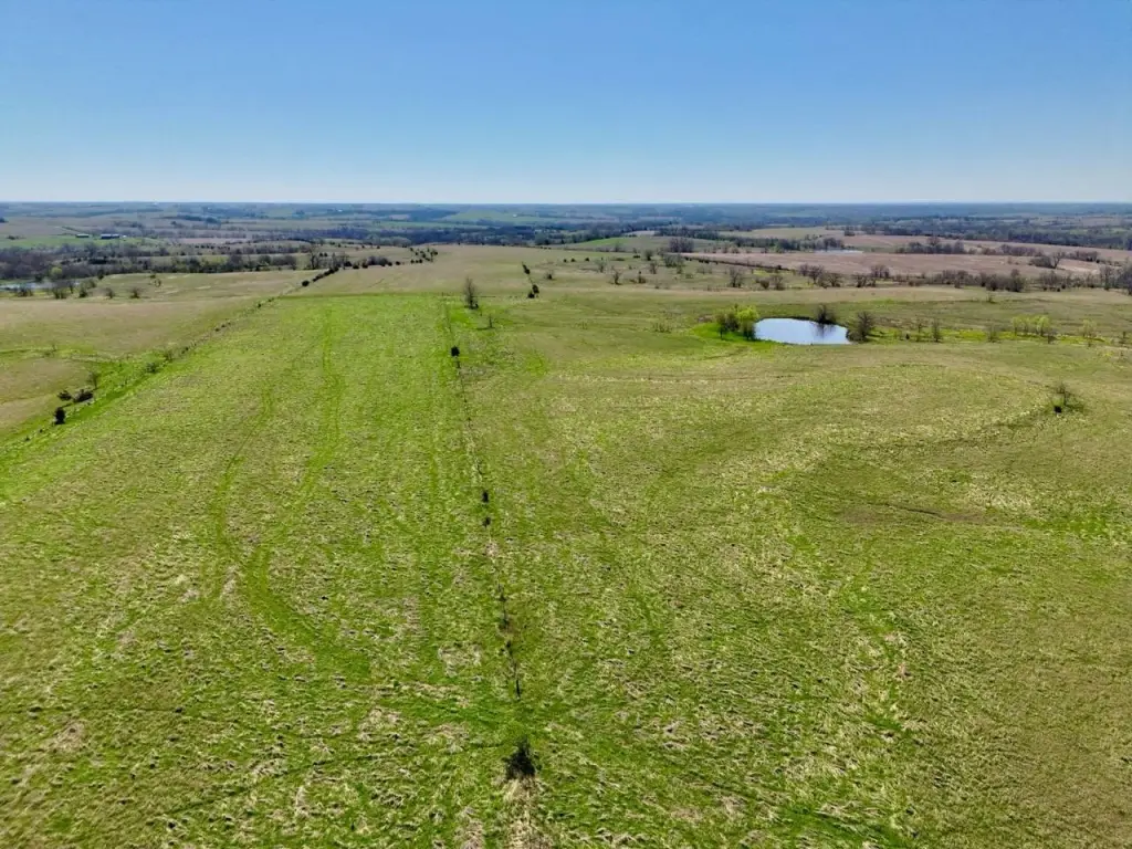
- Diverse land mix of tillable, timber, pasture, and water resources
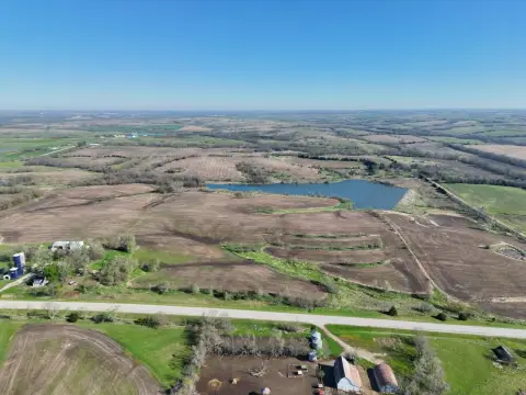
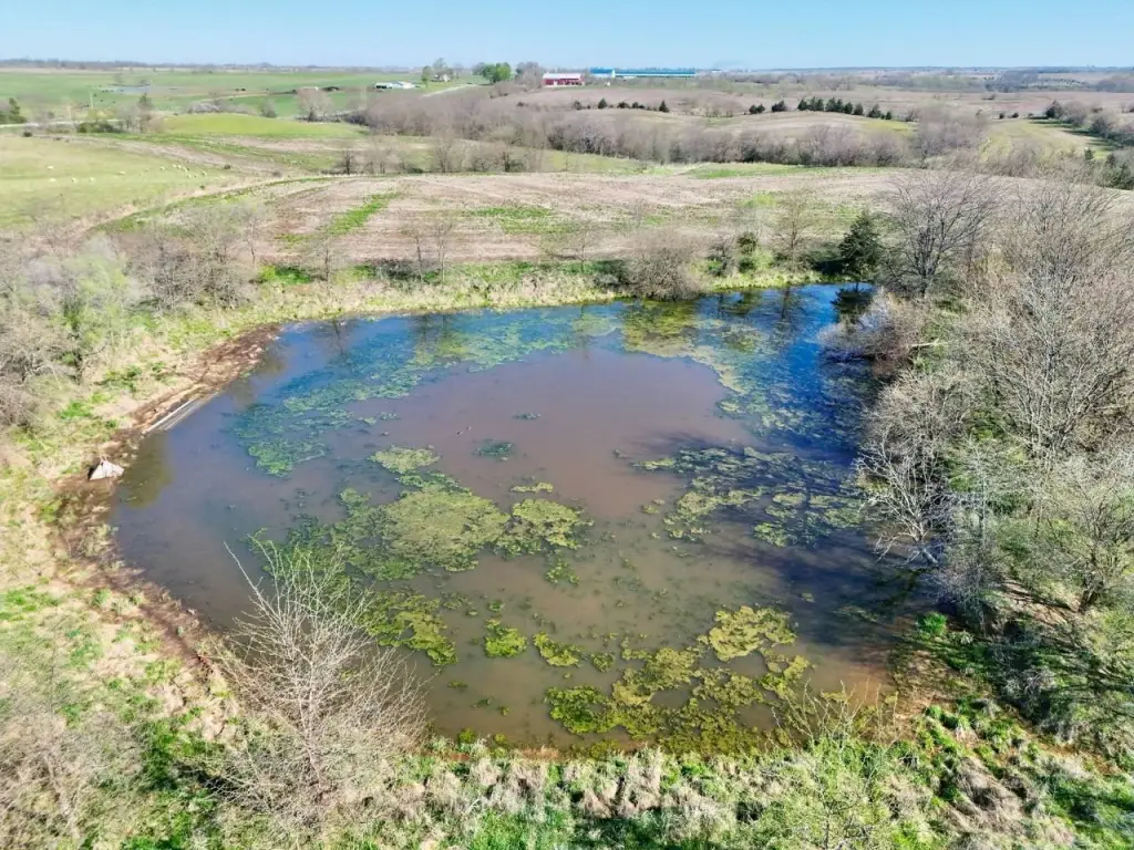
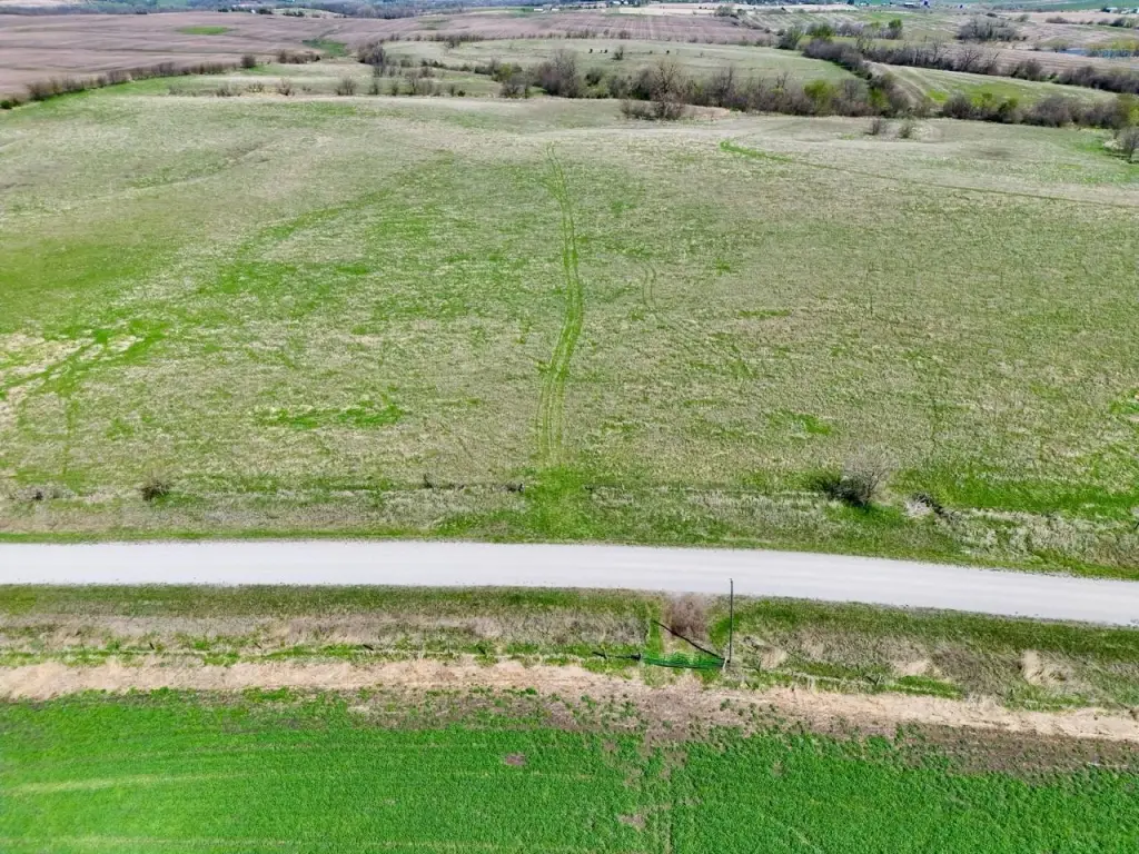
- Multiple ponds across the property providing year‑round water sources
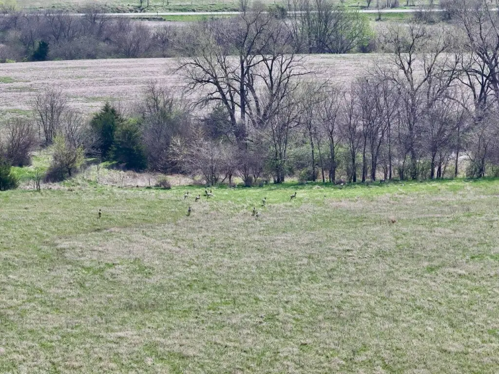
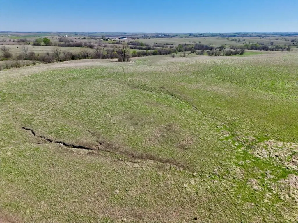
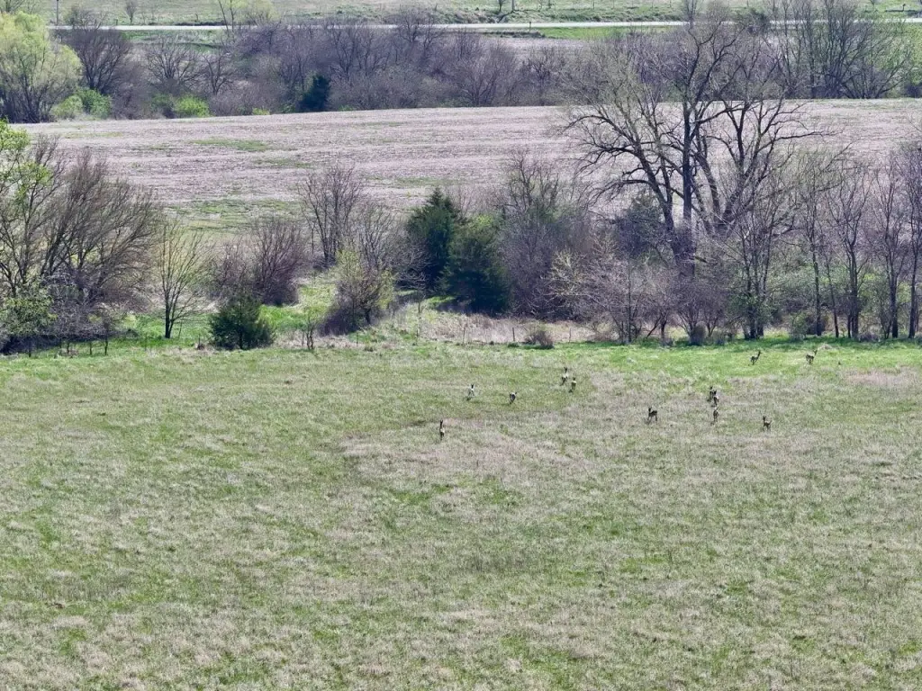
- Hunting/recreation layout supports whitetail deer and turkey habitat with natural funnels, bedding areas, and travel corridors
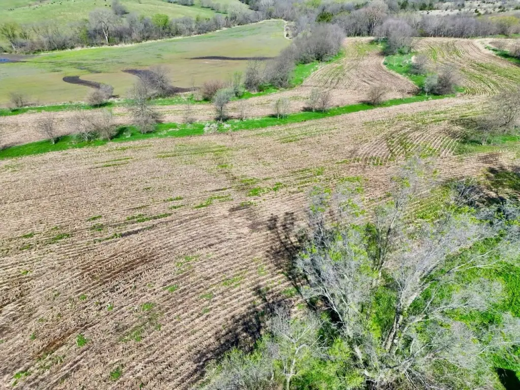
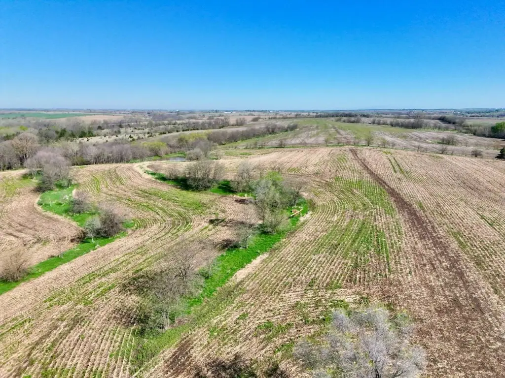
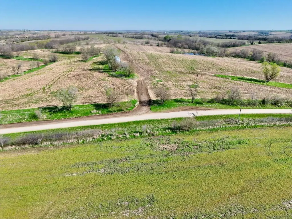
Overview
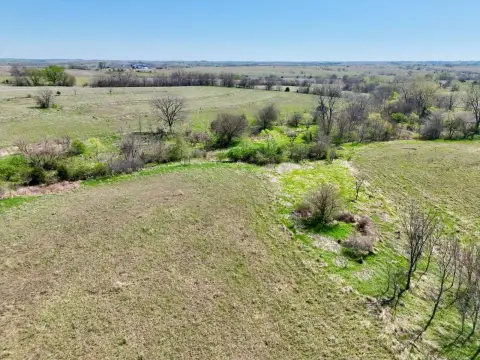
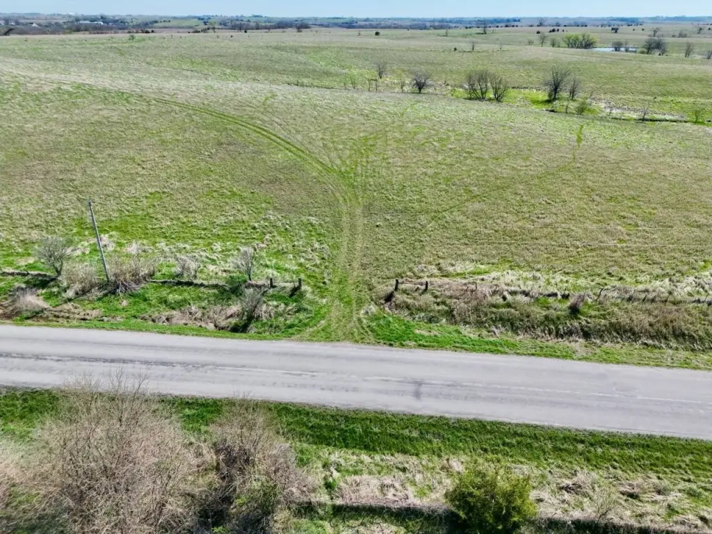
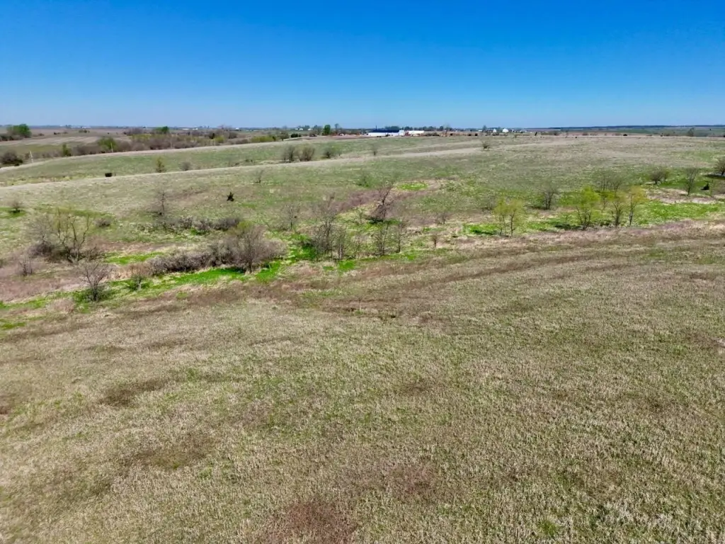
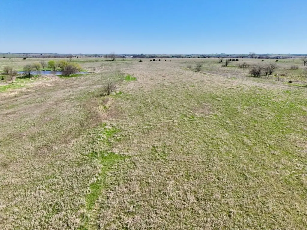
The property includes multiple ponds distributed throughout the acreage, which are identified as year-round water sources for wildlife and potential agricultural use. The rolling topography is noted for natural drainage and scenic views, and the overall layout is described as supporting wildlife movement through natural funnels, bedding areas, and travel corridors.
For buyers seeking a working land asset with both agricultural and recreational components, the certified tillable base and established CRP income stream are key features. The mix of cropland, timber, pasture, and ponds is positioned for multi-use management, including hunting and land stewardship focused on habitat practices such as food plots, timber management, and access enhancements, subject to buyer goals and planning.
Current Use by Public Records
Map
- City
- Redding
- County
- Ringgold
- State
- Iowa
- Longitude
- -94.326846
- Latitude
- 40.626395