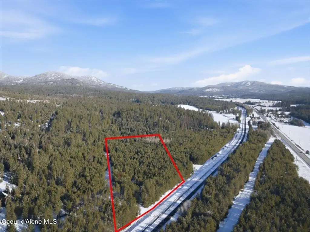
NKA Amaze Way, Athol, ID 83801

- Added:
- Feb 24, 2026
- Days on Market:
- 123
- Last Refresh:
- Jun 27 at 6:06 pm
Property Features for NKA Amaze Way
General Information
- Property type
- Land
- Property subtype
- Other
- Zoning
- County RUR
- Exterior features
- Timber - All
- Standard status
- Active
- APN
- RP54N03W231300A
- Lot size
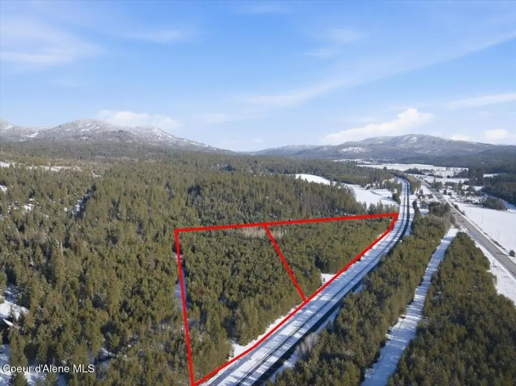
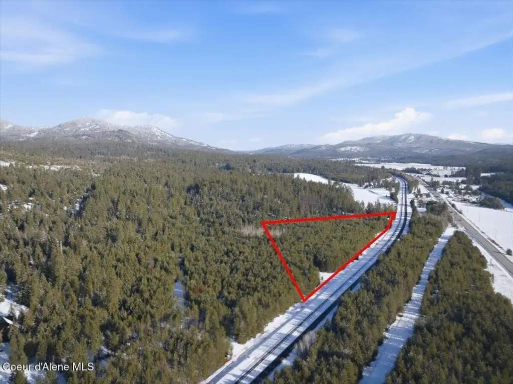
- 16.94 Acres
Taxes and HOA fees
- Tax Year
- 2025
- Tax Description
- 23-54N-3W E2w2 Swne N Of Bn R/W W 240Ft Of E2swne N Of Bn R/W AND 23-54N-3W E 420 Ft Of E2swne & NWsene N Of G N R R
- Tax Annual Amount
- 2126

Listing agent Rob Sower License #SP38757 (208) 761-5100
Listing office Keller Williams Realty Boise 1065 S Allante Place, Boise, ID (208) 672-9000
Listing date Feb 24, 2026
Copyright © 2026 Coeur d'Alene Multiple Listing Service. All rights reserved. All information provided by the listing agent/broker is deemed reliable but is not guaranteed and should be independently verified.
HighLights
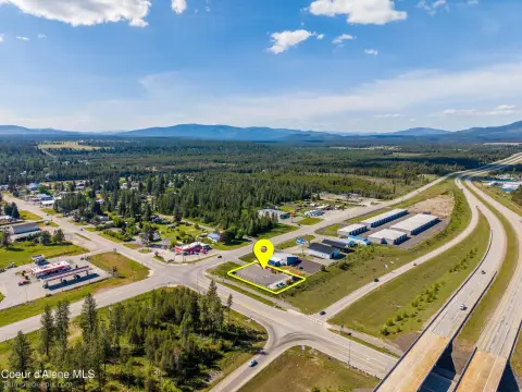
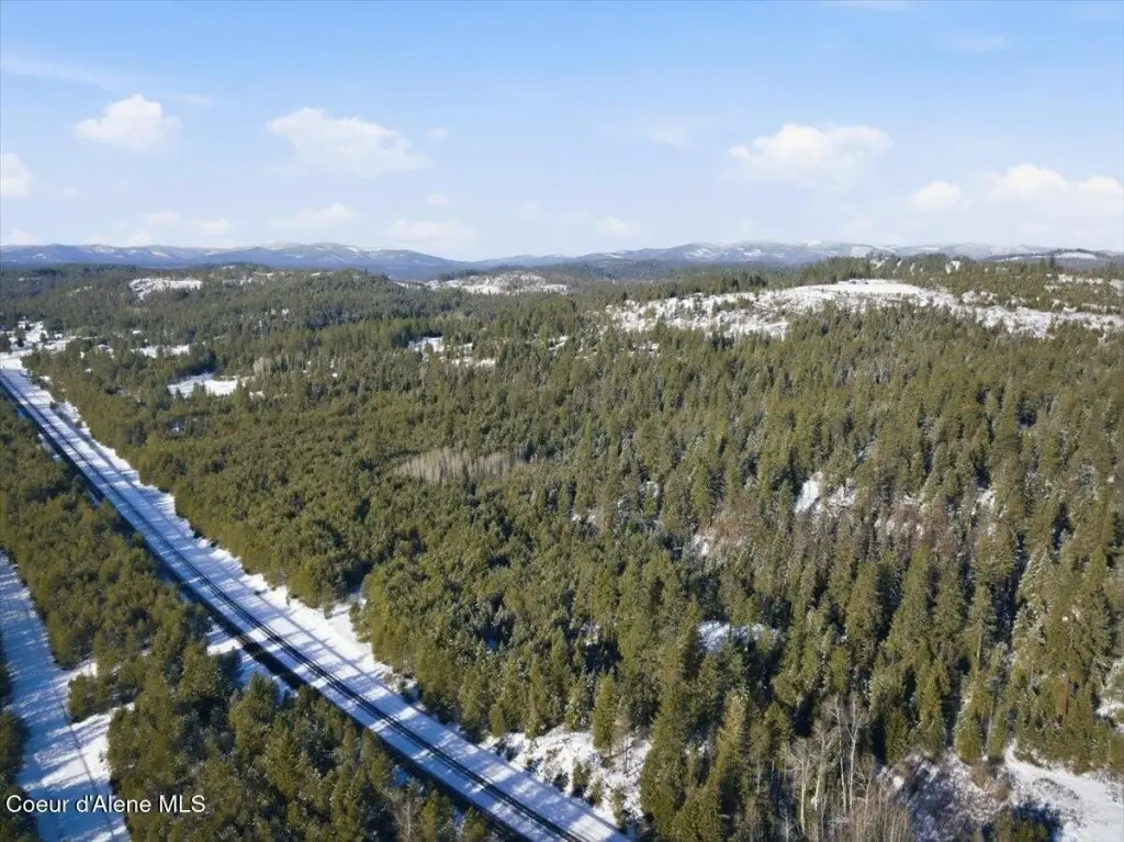
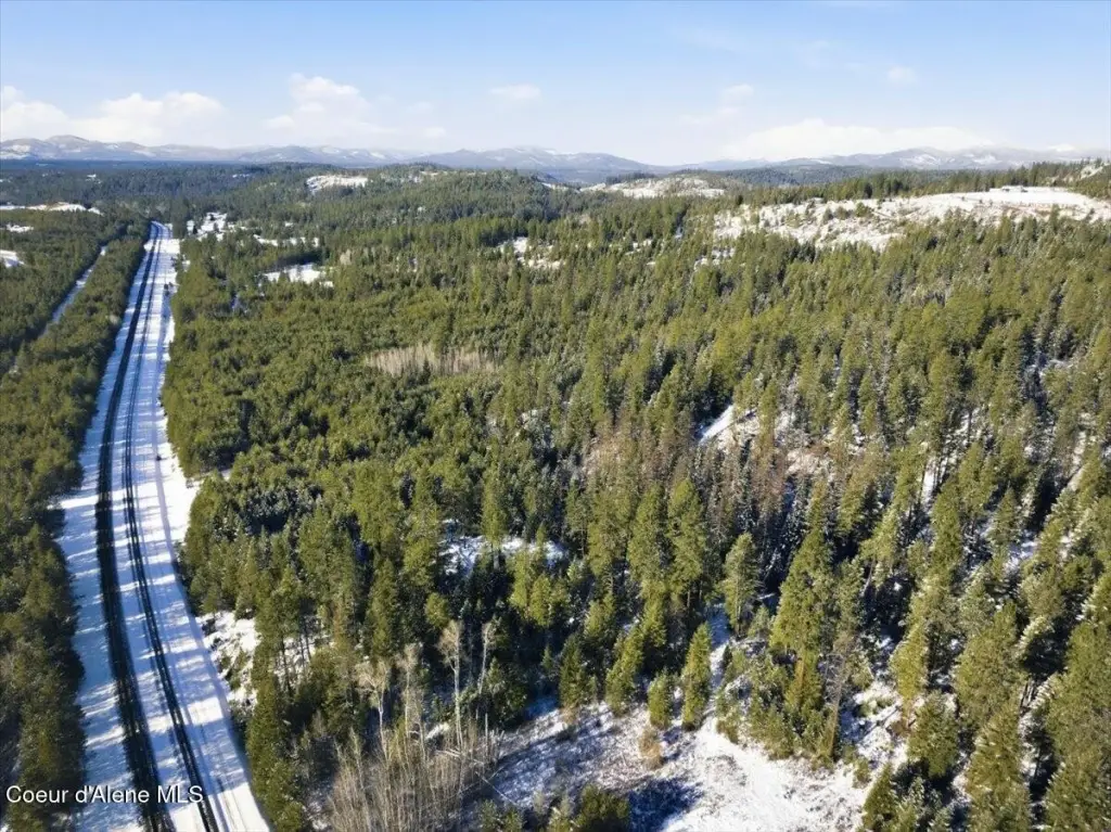
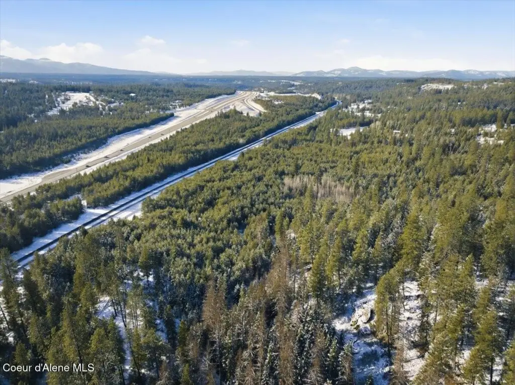
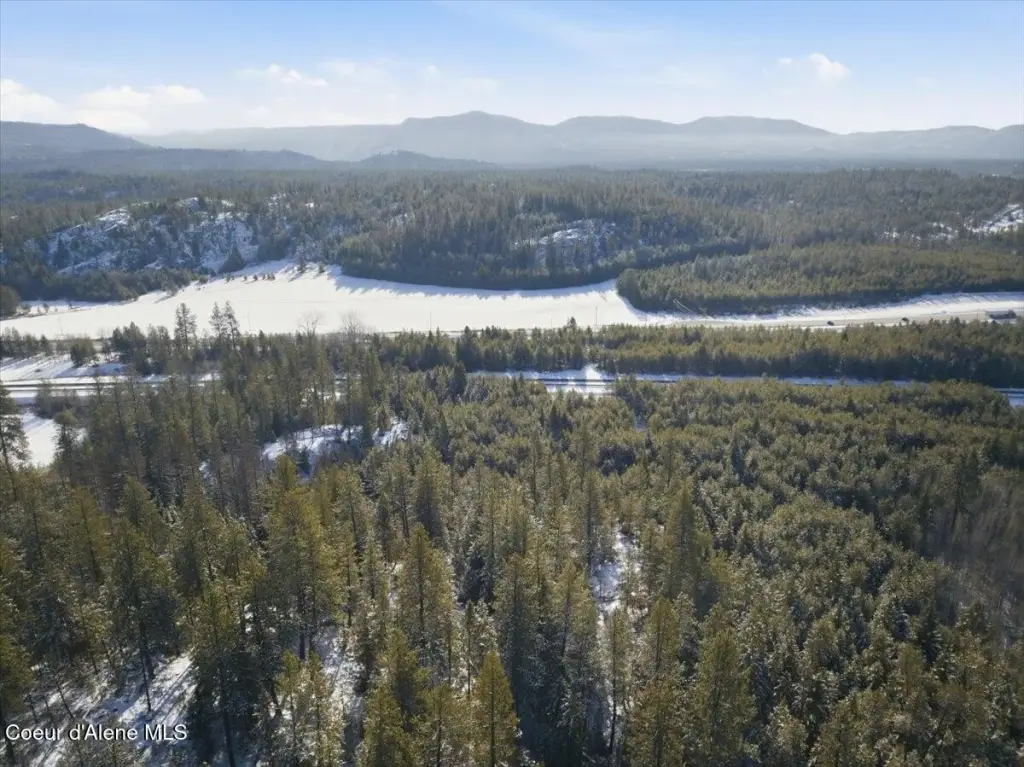
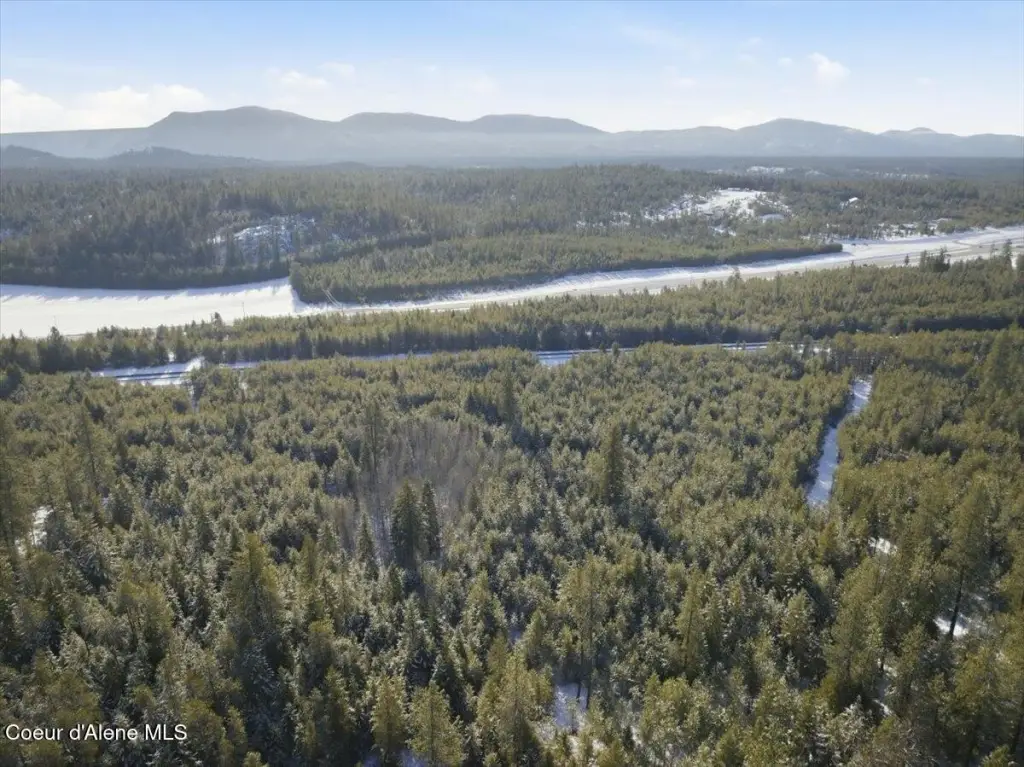
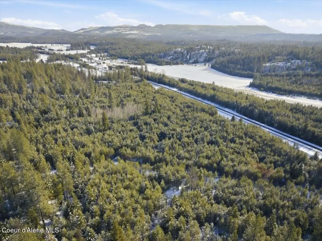
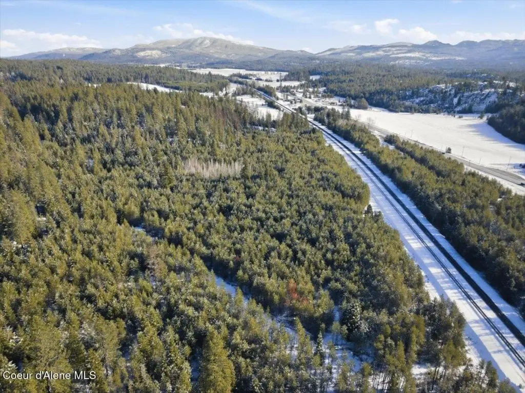
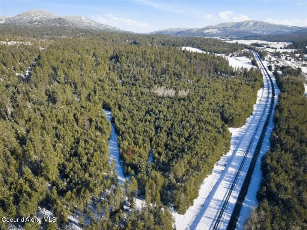
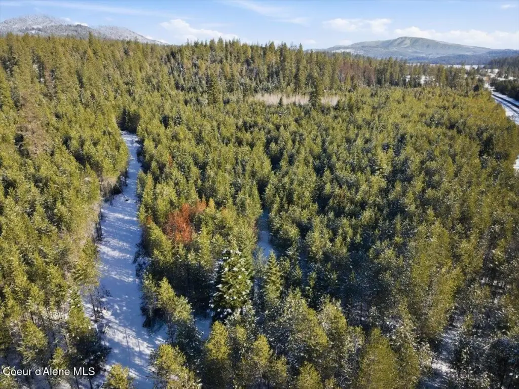
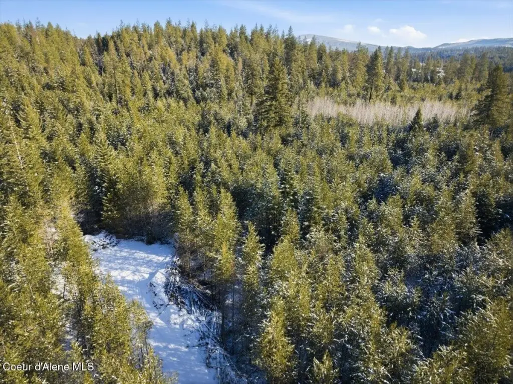
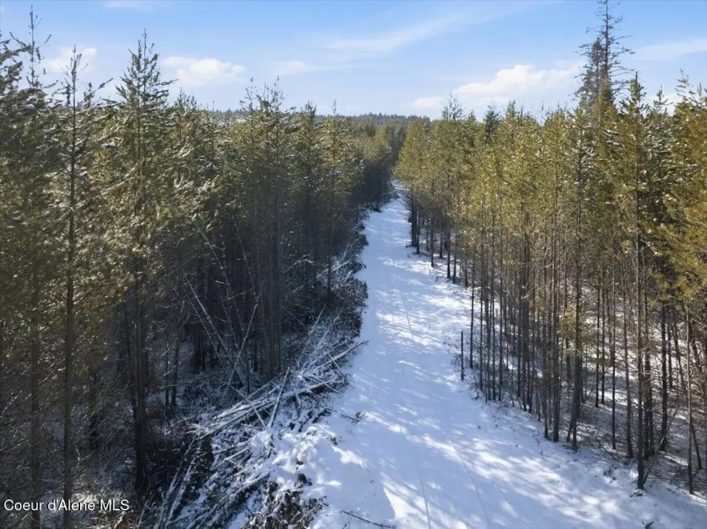
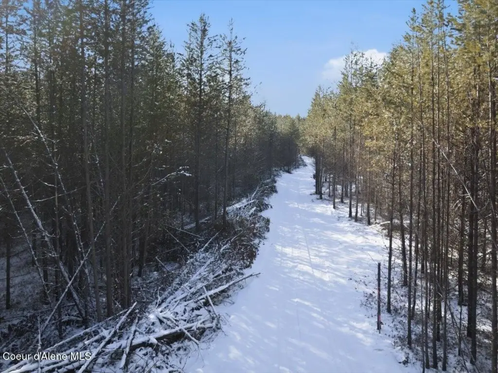
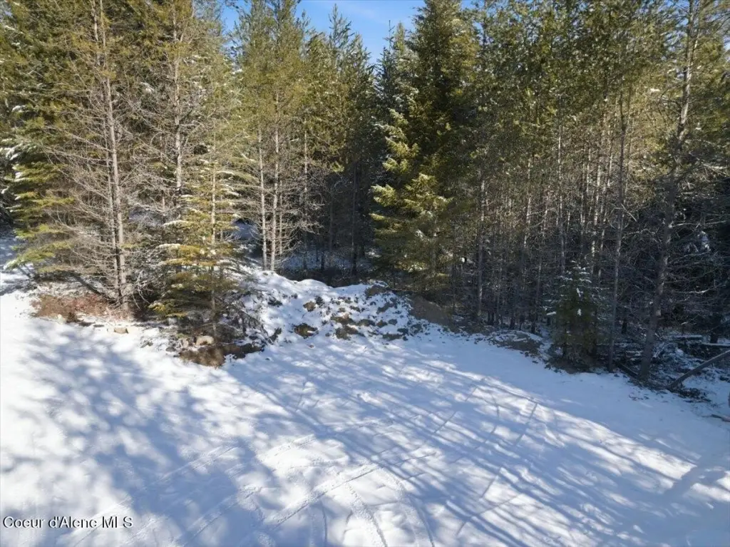
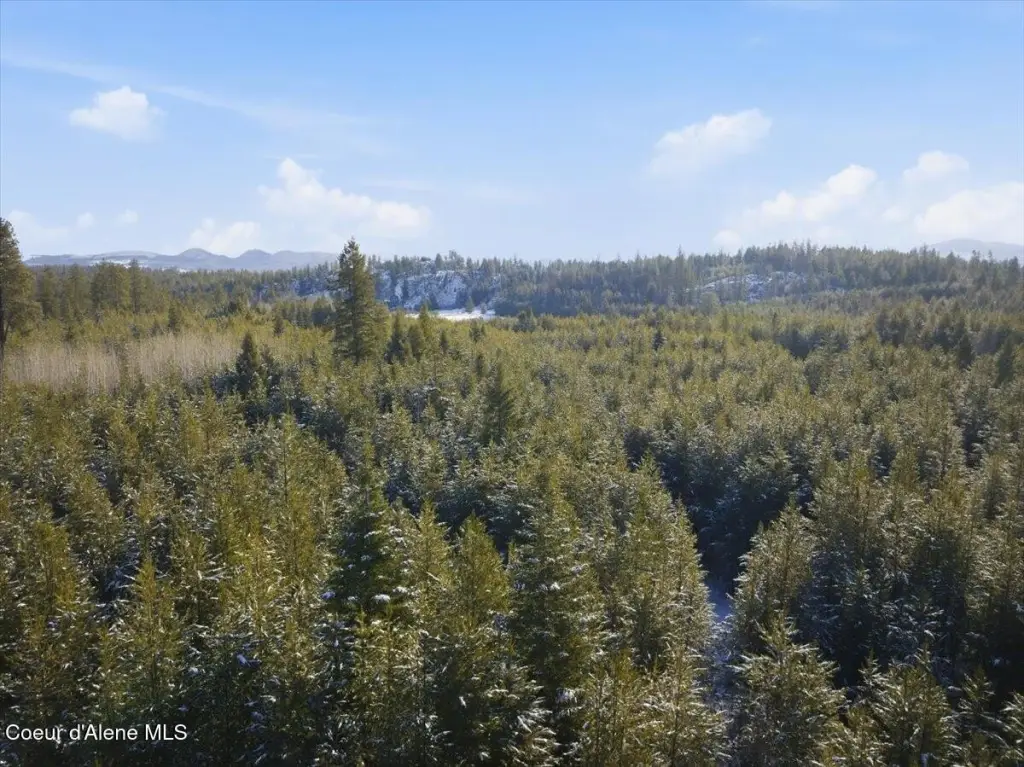
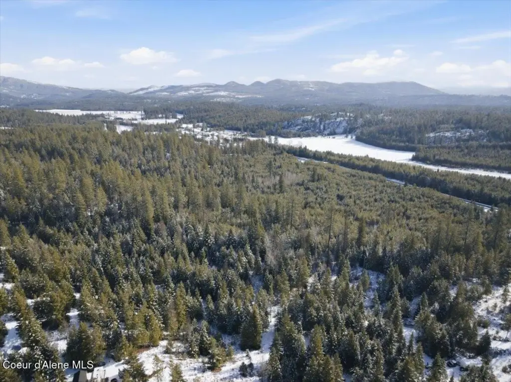
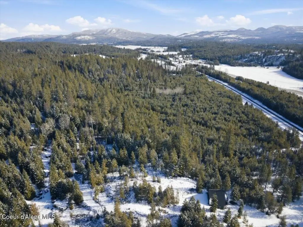
- 16.94‑acre property with 2 adjacent parcels—ready for a North Idaho getaway or recreational retreat.
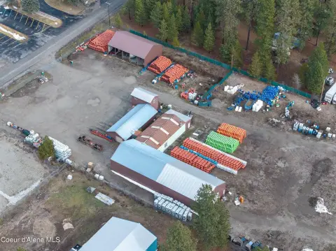
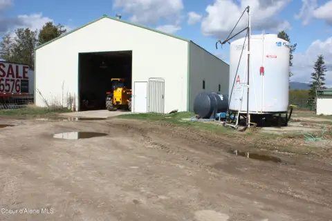
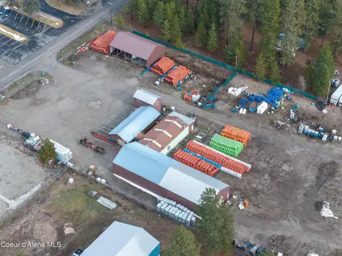
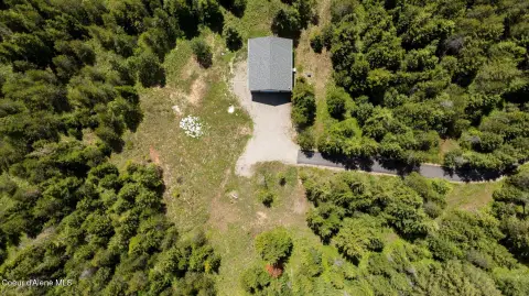
- Includes a large shop on the property.
- No HOA or CC&R restrictions reported.
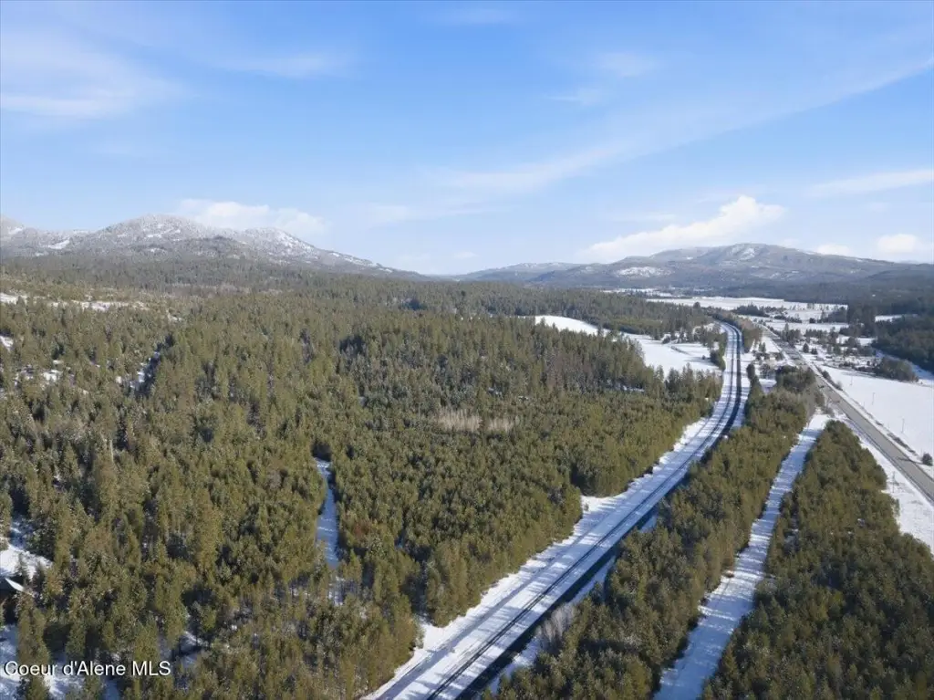
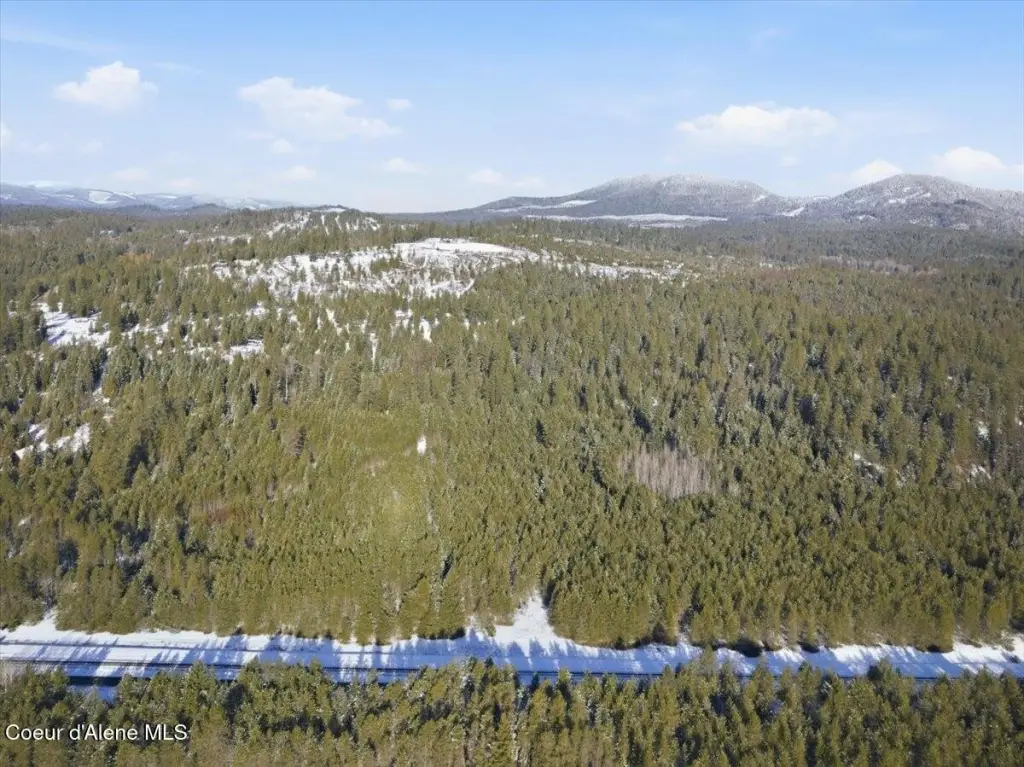
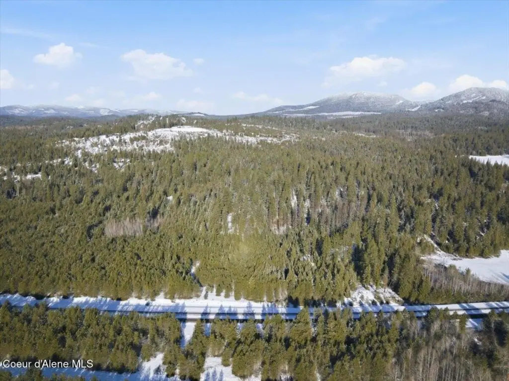
- Terrain features gentle sloping and areas of flat ground for flexible building options.
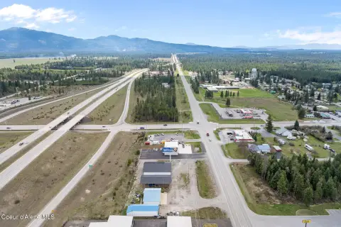
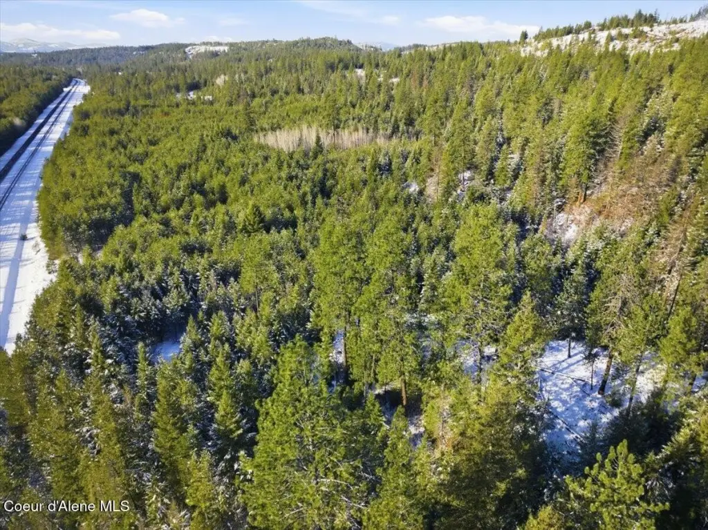
- Easy access to Hwy 95, with a short drive to CDA.
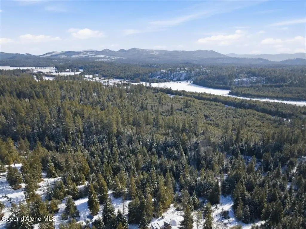
- Close to Farragut State Park, Lake Pend Oreille, and Sandpoint.
Overview
The property is located in Athol, Idaho in Bonner County, with access described as easy to Highway 95. The seller notes the drive to nearby destinations including Coeur d’Alene, Farragut State Park, Lake Pend Oreille, and Sandpoint.
From a practical standpoint, this is a strong fit for buyers who want acreage and site versatility, whether the goal is to build a shop-backed recreation use or to pursue an owner-operator industrial setup. The listing also states there are no HOA or CC&R restrictions, which may simplify planning for certain development concepts. Zoning is listed as County RUR, and interested parties should review local requirements for any intended use and improvements.
Current Use by Public Records
Map
- City
- Athol
- County
- Kootenai
- State
- Idaho
- Longitude
- -116.662909
- Latitude
- 48.017224