Patented Mining Claims and
For Sale
$190,000
Pending
Nat'l Forest Develop Road 493, Council, ID 83612
Land, Council, ID
Property SizeContact for details
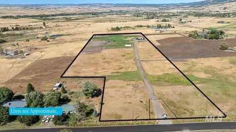
Lot Size44.08 Acres
Days on Market110
Property Features for Nat'l Forest Develop Road 493
General Information
Property type
Land
Property subtype
Other
Subdivision
0 Not Applic.
Lot features
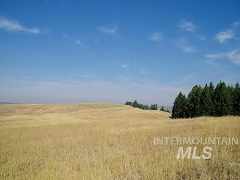
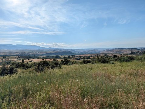
Over 40 Acres, Views, Wooded, Borders Public Owned Land
Directions
Contact Listing Broker for directions
Standard status
Pending
APN
MM21N03W1650A
Lot size
44.08 Acres
Taxes and HOA fees
Tax Year
2025
Tax Description
Lengthy - Please contact listing Broker for Exhibit A
Tax Annual Amount
118
Legal Description
Lengthy - Please contact listing Broker for Exhibit A
Listing Agency:
Knipe Land Company
(208) 345-3163
Listed By:
Janey Knipe · License #AB23881
(208) 830-2692
Added: May 20
Changed: Aug 19
Last Checked: Sep 6 at 12:06AM
MLS# 98987020
Copyright © 2026 Intermountain Multiple Listing Service. All rights reserved. All information provided by the listing agent/broker is deemed reliable but is not guaranteed and should be independently verified.
Investment Insights
Based on property information with market context.
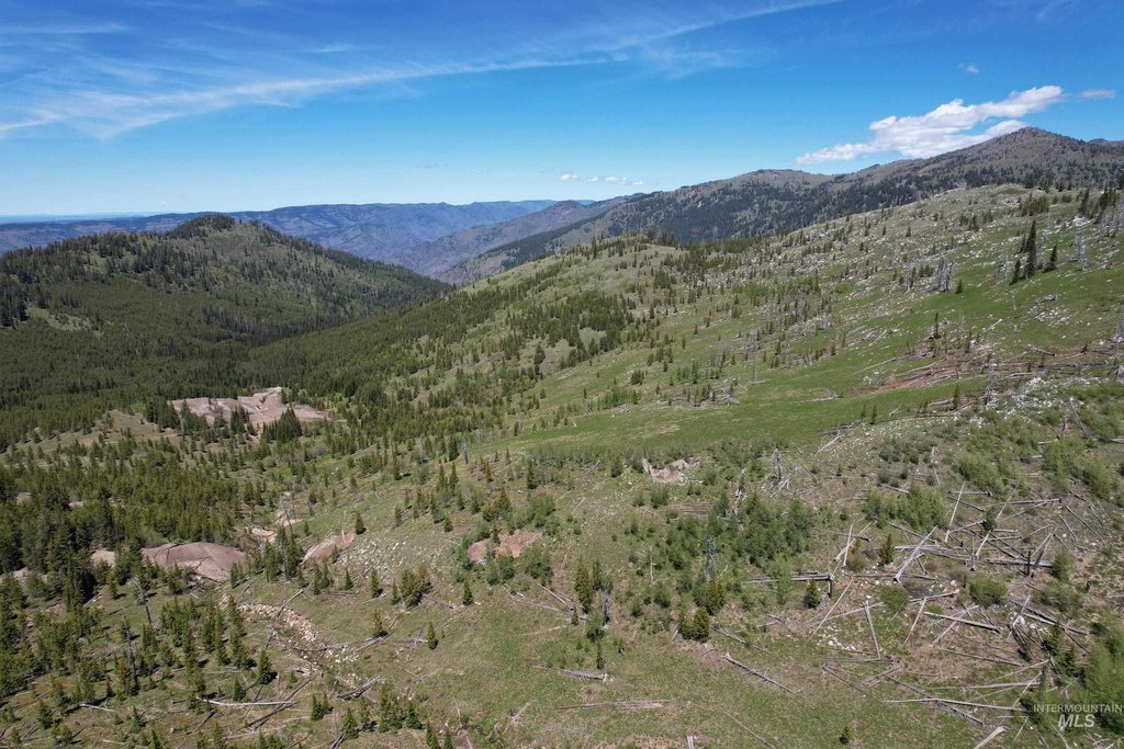
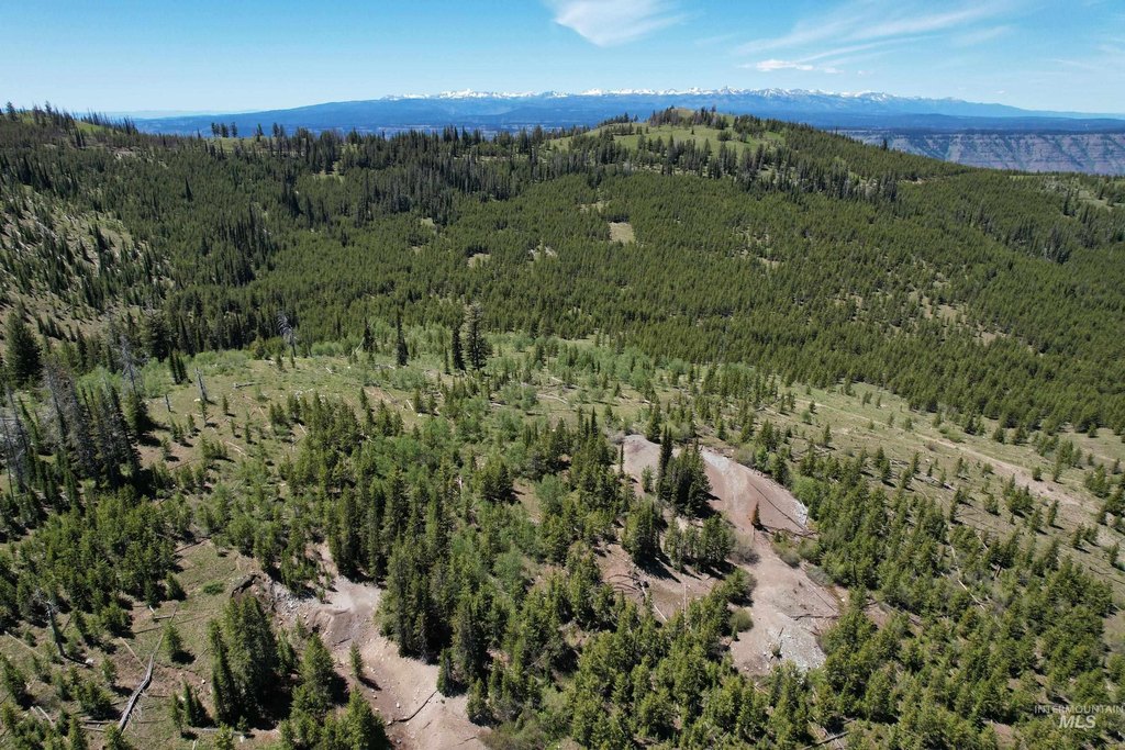
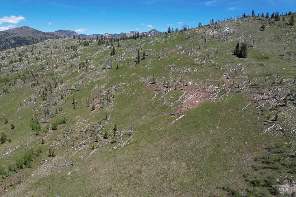
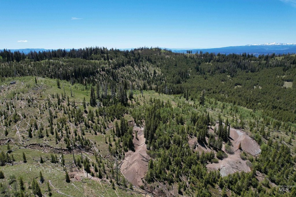
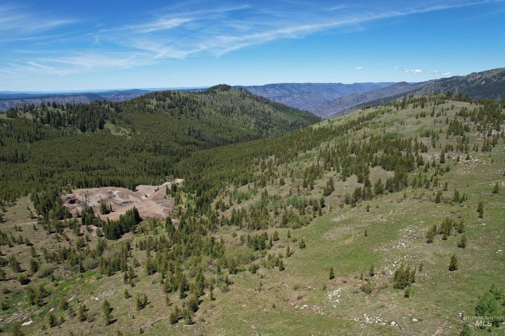
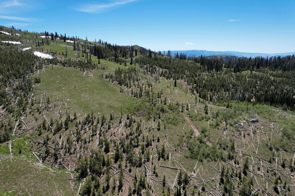
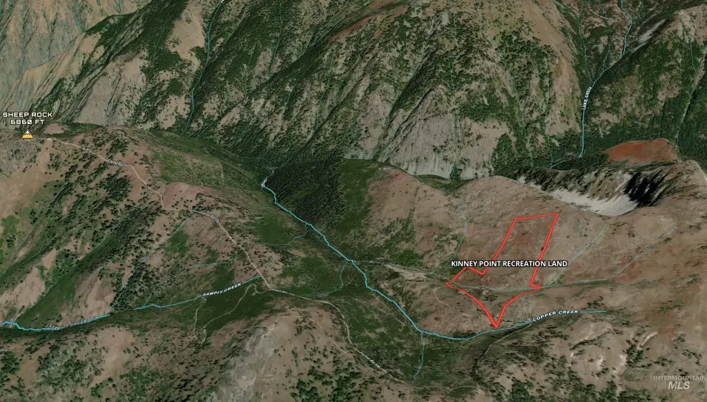
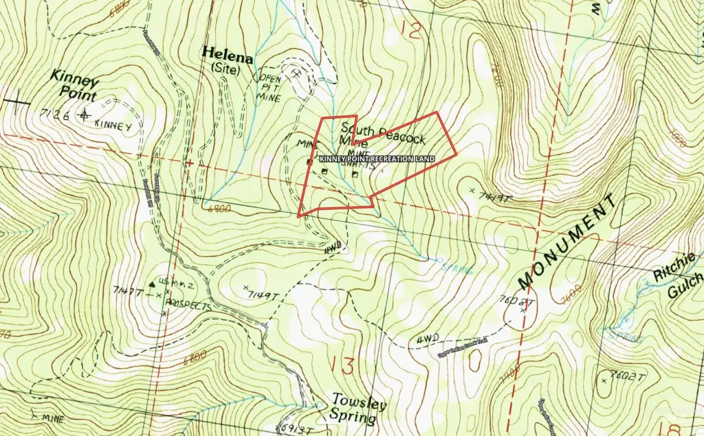
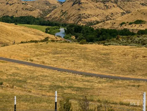
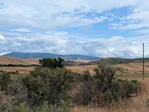
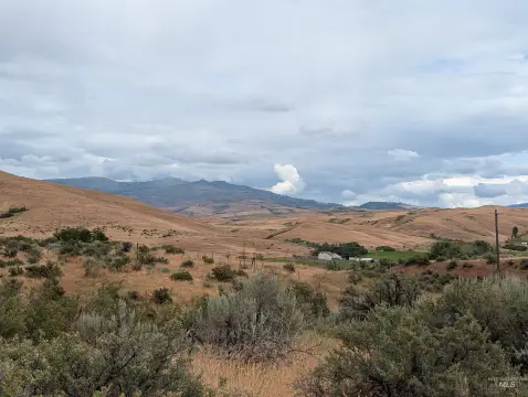
This 44.08-acre mining land and claims property is an off-grid parcel with a mix of timbered terrain and open range. Access is provided across Copper Creek, and the property includes the patented Wedge, Copper Key, and South Peacock mining lodes. Visible mine tailings remain from the historic South Peacock Mine operation.
The land lies near Kinney Point and Sheep Rock Peak, with Forest Service land along its east and south boundaries. Its documented recreational features include space for ATV and horseback exploration, while the mining remnants add a distinct historic dimension. The property is located on Nat'l Forest Develop Road 493 near Council, Idaho, in Adams County.
The land lies near Kinney Point and Sheep Rock Peak, with Forest Service land along its east and south boundaries. Its documented recreational features include space for ATV and horseback exploration, while the mining remnants add a distinct historic dimension. The property is located on Nat'l Forest Develop Road 493 near Council, Idaho, in Adams County.
Key Highlights
- 44.08‑acre off‑grid mining land and claims property
- Patented Wedge, Copper Key, and South Peacock mining lodes
- Access across Copper Creek
Property Analytics
Current Use
Location Intelligence
Trade Area within ½ mile
2
Businesses Nearby
Explore this area
Business Placement
Demographics for 83612, ID
2,162
Population
1,198
Households
1.8
Avg Household Size
55
Median Age
17%
College-Educated
90%
High-School Grad
497.2 sq mi
ZIP Area
4
Density / Sq Mi
$52,917
Median Household Income
$30,987
Median Earnings
$811
Median Rent
$259,700
Median Home Value
Market
Vacancy Rate% for Industrial in West region

Questions? Ask Rey
Realmo’s AI knows this listing — price, zoning, demand, history. Ask anything.




Frequently Asked Questions
What type of property is this?
Mining land & claim - Off-grid acreage combines timber, open range, Copper Creek access, and remnants of historic mining activity.
Where is this mining land & claim located?
The property is located at Nat'l Forest Develop Road 493 Council, ID.
What is the asking price?
The asking price for this property is $190,000.
What are key features of this property?
This property features: 44.08‑acre off‑grid mining land and claims property; Patented Wedge, Copper Key, and South Peacock mining lodes; Access across Copper Creek



