N Click Street, Nevada, MO 64772
- Added:
- Mar 16, 2026
- Days on Market:
- 99
- Last Refresh:
- Jun 22 at 6:06 am
Property Features for N Click Street
General Information
- Property type
- Commercial Sale
- Property subtype
- Other
- Zoning
- M2
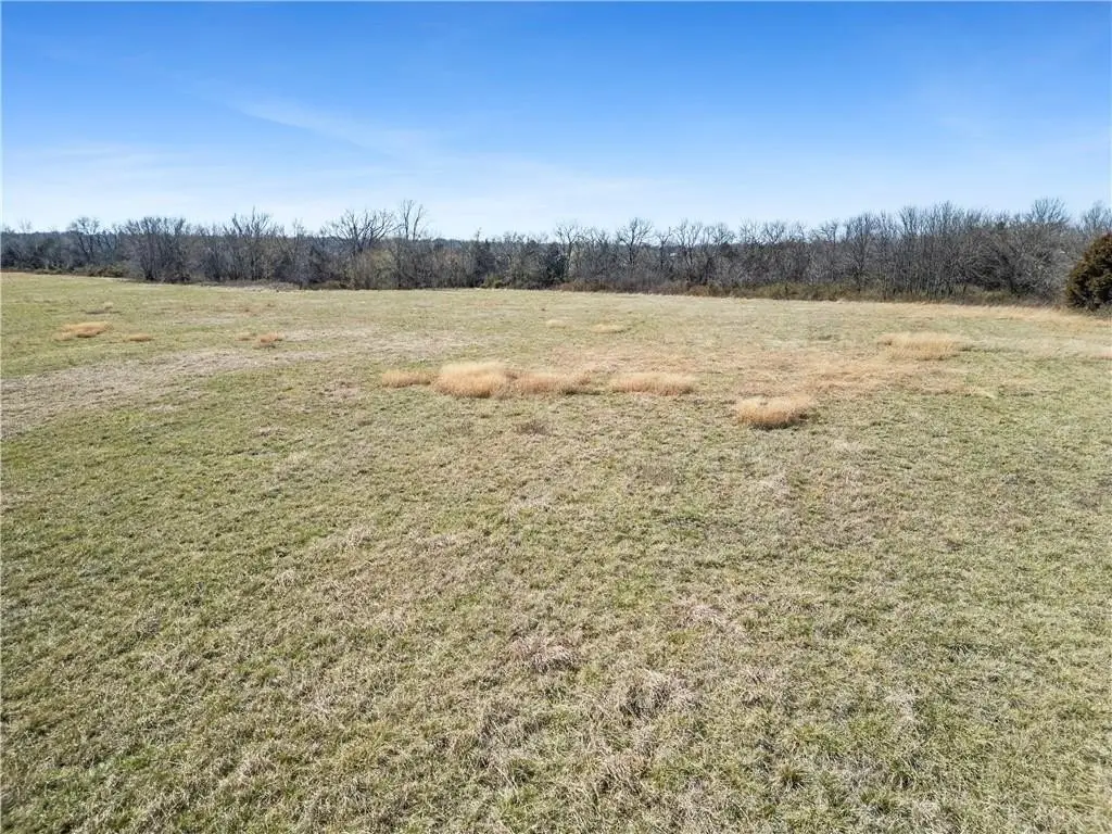
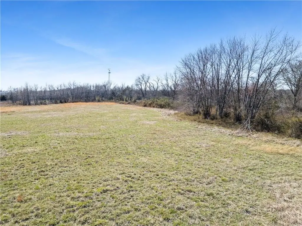
- Vegetation
- Cleared
- Fencing
- Perimeter, Barbed Wire
- Standard status
- Pending
- APN
- 13-8.0-34-3-1-2.0
- Lot size
- 23.50 Acres
Taxes and HOA fees
- Tax Description
- TRACT IN SW4 DESCRIBED: COMM SE COR OF SW4, N 662.88' TO POB; TH SWLY 904.64; SWLY 422.81'; NWLY 229.19' TO RRROW; THE FOLLOWING RRROW NLY 386.53'; NLY 101.29'; NLY 110.65'; NLY 424.95'; E 1291.83 TO SE COR NE4 SW4; S 658.54' RETURNING TO POB.
- Tax Annual Amount
- 6
Utilities
- Water source
- Public
Listing agent Jacob Duncan (417) 321-3339
Listing office CURTIS & SONS REALTY 121 SOUTH MAIN, Nevada, MO (417) 667-7868
Listing date Mar 16, 2026
Copyright © 2026 Heartland Multiple Listing Service. All rights reserved. All information provided by the listing agent/broker is deemed reliable but is not guaranteed and should be independently verified.
HighLights
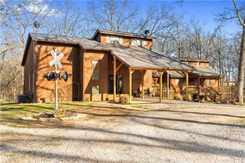
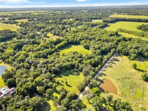
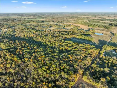
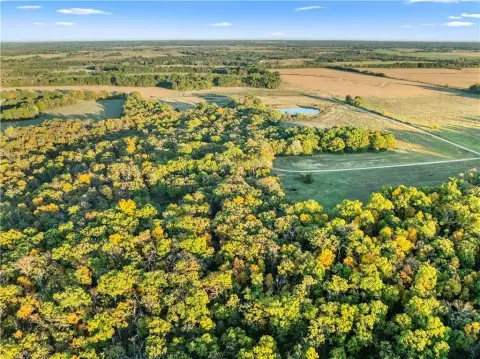
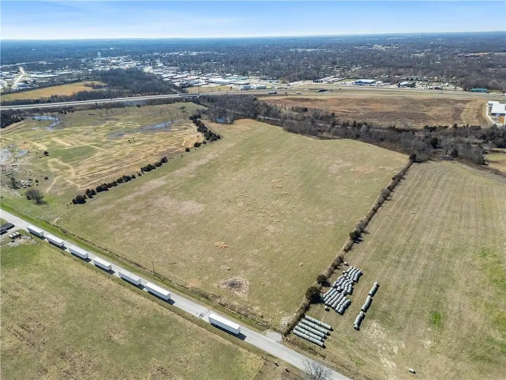
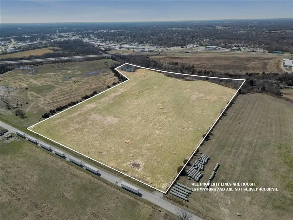
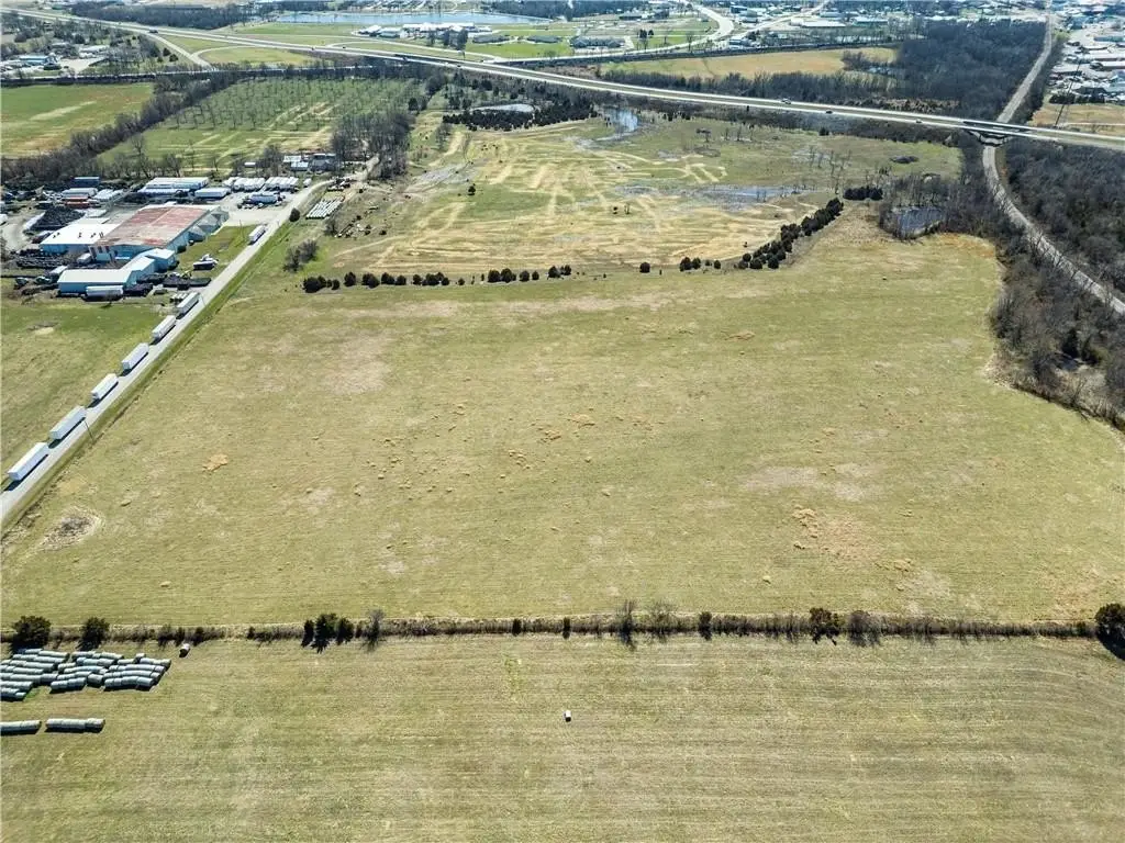
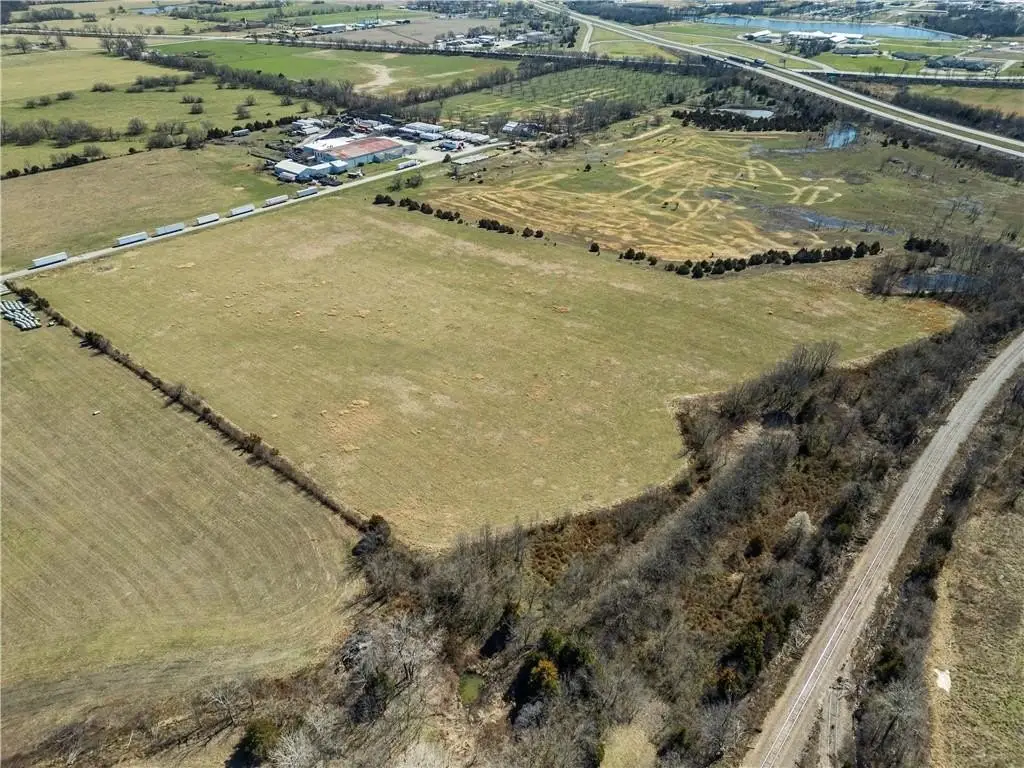
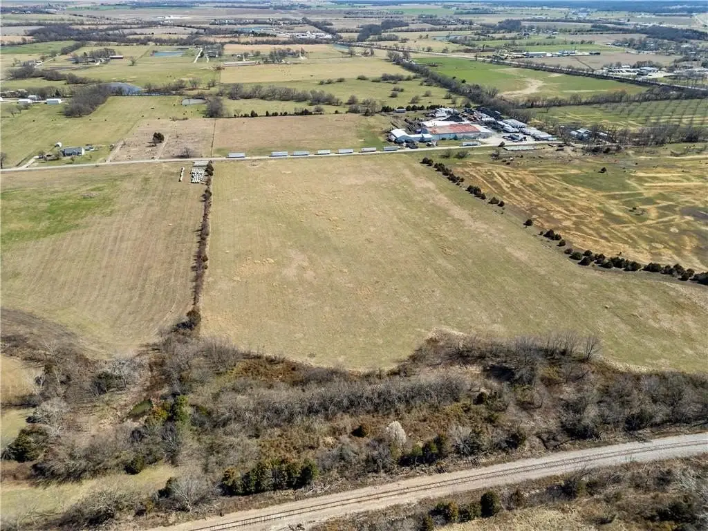
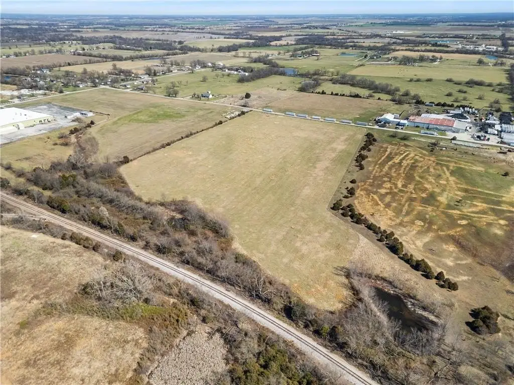
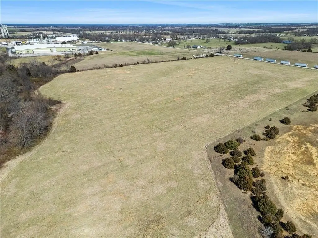
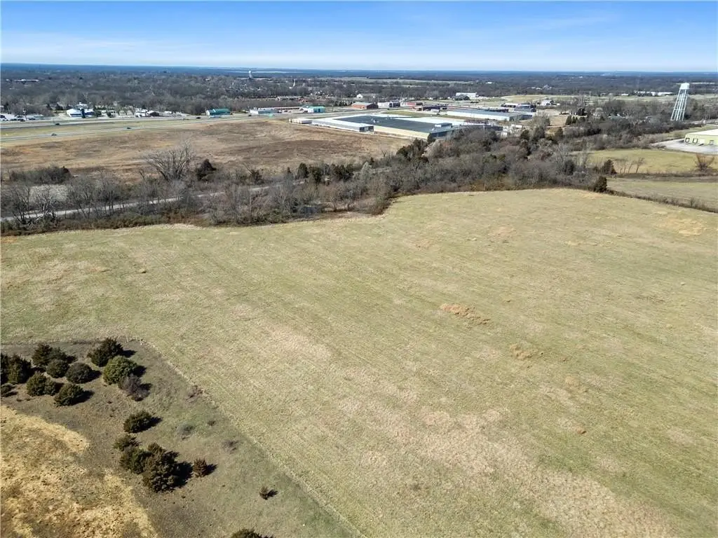
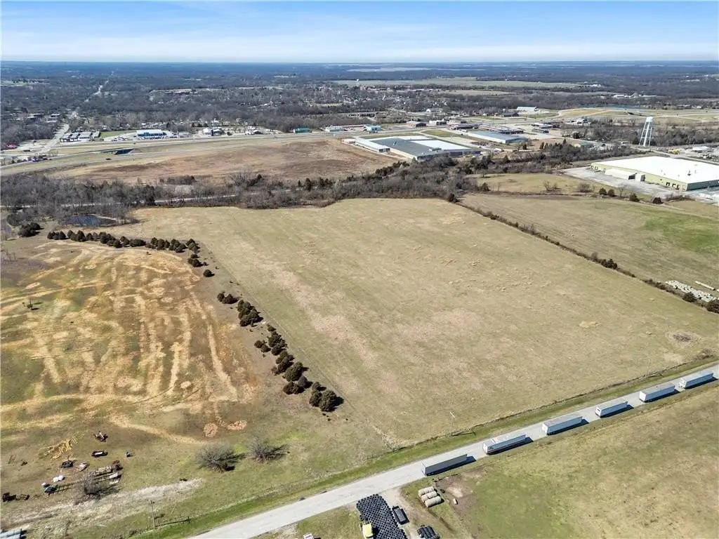
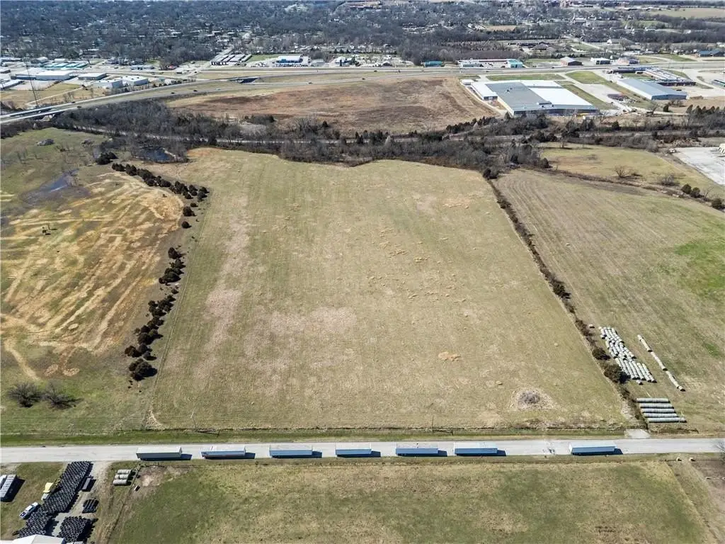
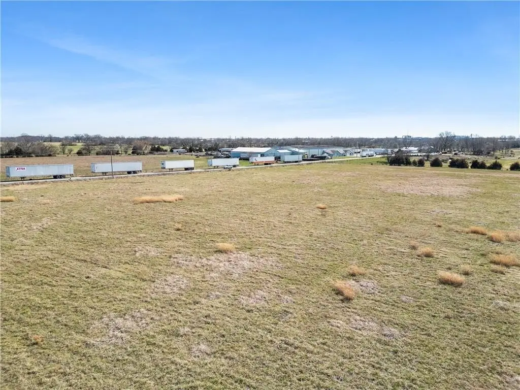
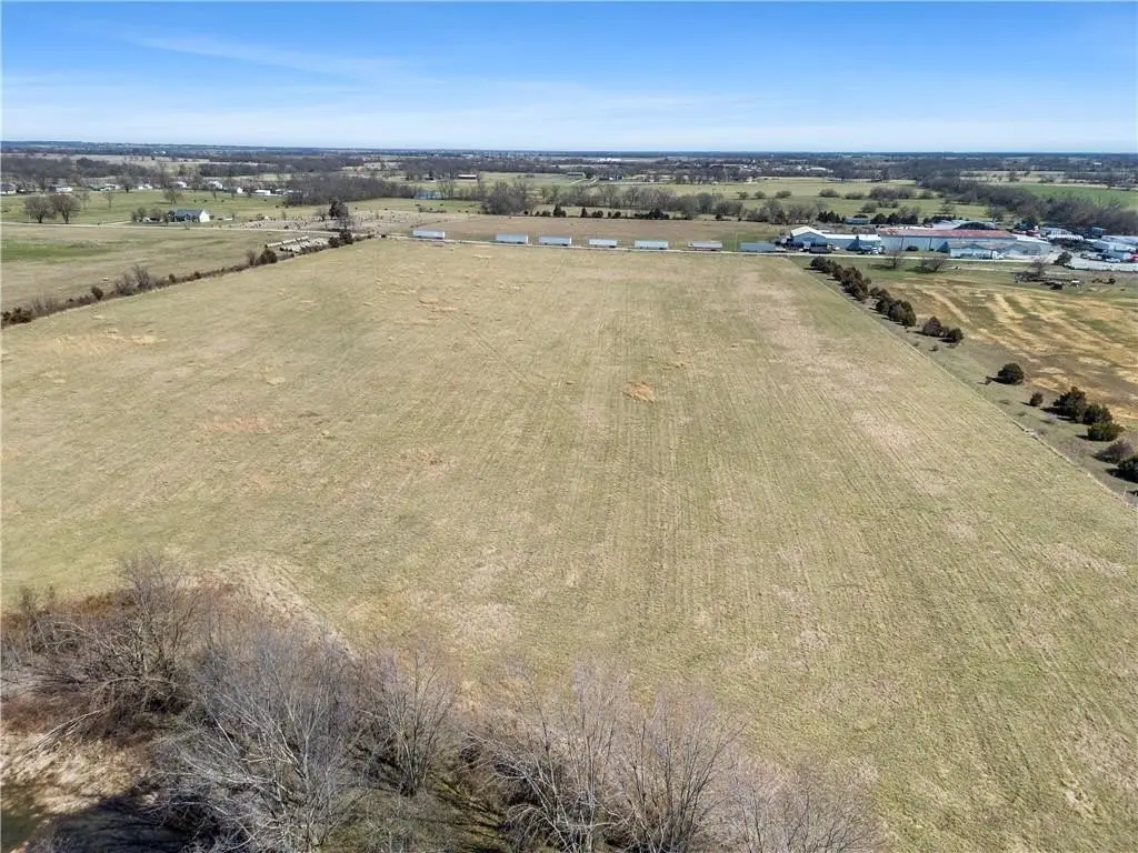
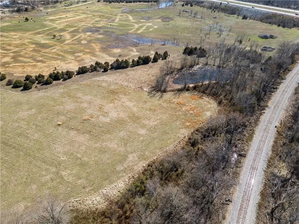
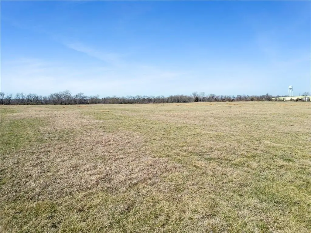
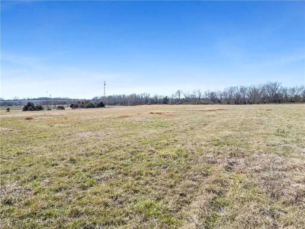
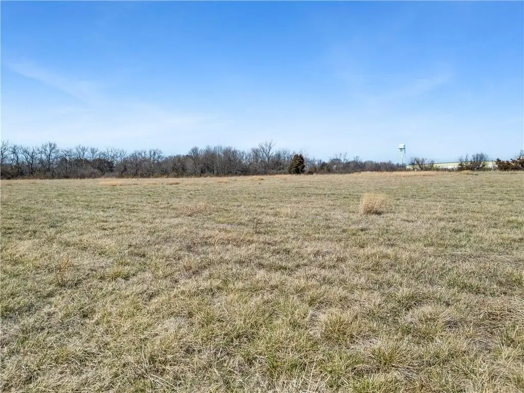
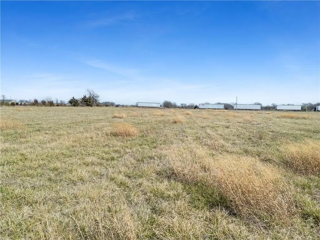
- 23+/- acres of M‑2 (Heavy Industrial) zoned land in the city limits of Nevada, Missouri
- Approximately 680 feet of road frontage with convenient access for trucks, equipment, or future development
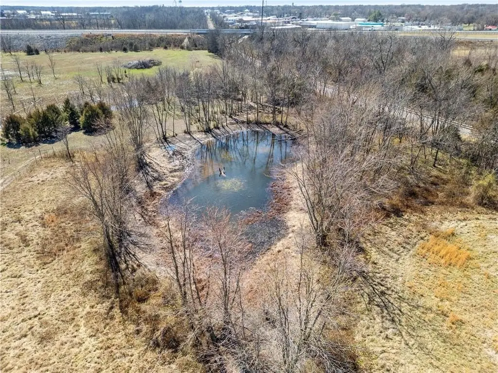
- Near I‑49 in an existing warehouse and industrial development corridor
- Rail line borders the west side of the property
- Utilities available: public water and rural water; electric available at the road; city sewer may be available nearby
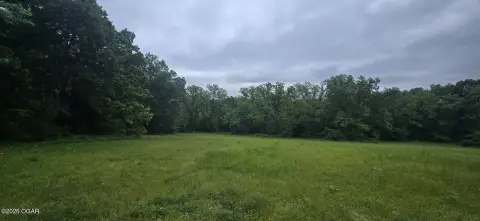
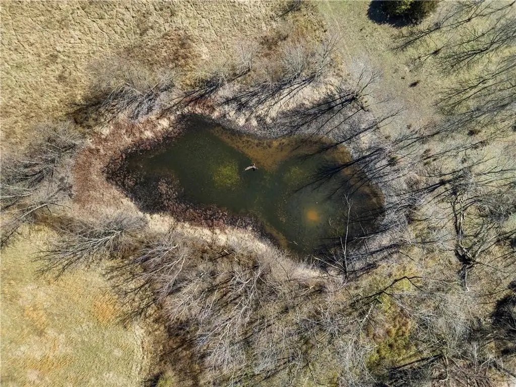
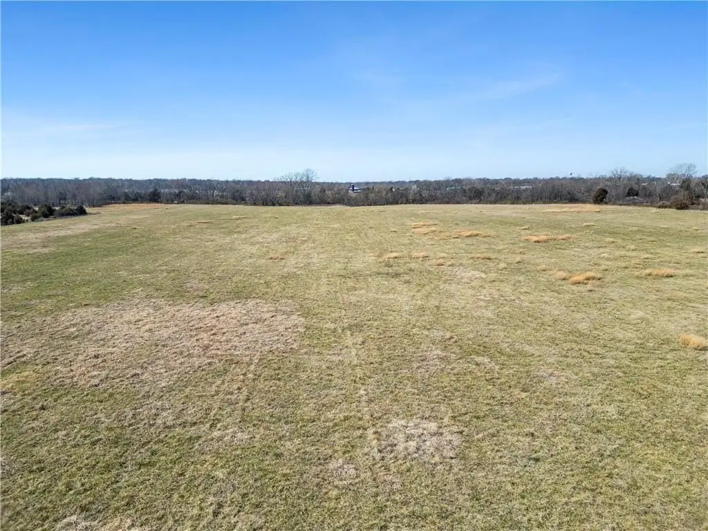
- Not located within a floodplain; currently productive hay ground with annual fertilization and seller’s hay crop in place
Overview
Located within the city limits of Nevada, Missouri, the property sits near existing warehouse and industrial development and is described as being just minutes from I-49. A rail line borders the west side of the property. City water and rural water are both available, and electric is available at the road. City sewer may be available nearby, and the property is stated to not be located within a floodplain.
For buyers or operators looking for a sizable, in-city industrial-zoned parcel with current agricultural utility, this site offers both immediate hay production and the ability to transition to industrial uses under the M-2 zoning designation. The combination of road frontage, a bordering rail line, and access to water and electric at/near the site can support a range of industrial and logistics-oriented development plans.
Current Use by Public Records
Map
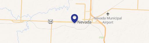
- City
- Nevada
- County
- Vernon
- State
- Missouri
- Longitude
- -94.3380539
- Latitude
- 37.8531013