Secluded Hunting Land Near
Wolf Trail Moyers, OK 74557

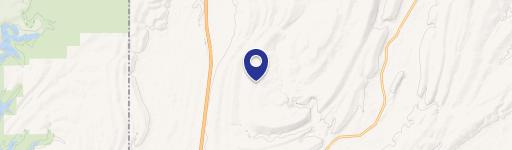
Wolf Trail, Moyers, OK, 74557
$148,000
For Sale
$148,000
LAND - Moyers, OK
Lot Size14.80 Acres
Days on Market97
Property Features for Wolf Trail
General Information
- Property type
- Land
- Property subtype
- Other
- Zoning
- res
- Standard status
- Active
- APN
- 0000-18-02S-16E-0-089-01
- Lot size
- 14.80 Acres
Taxes and HOA fees
- Tax Year
- 2025
- Tax Description
- 0000-18-02S-16E-0-089-01 - 18-02S-16E A TRACT IN NE/4 THEN N8909'44"E A DISTANCE OF 453.24 FT THEN S11(DEGREES)58'47"E A DISTANCE OF 347.51 FT THEN S29(DEGREES)50'48"E A DISTANCE OF 434.53 FT THEN S48(DEGREES)34'18"E A DISTANCE OF 279.24 FT THEN S17(DEGREES)21'10"E A DISTANCE OF 83.31 FT THEN S89(DEGREES)09'51"W A DISTANCE OF 949.32 FT THEN N01(DEGREES)32'24"W A DISTANCE OF 988.7 FT TO POB 640/960 655/392
- Tax Annual Amount
- 504
Listing Agency
American Dream Realty
(580) 931-8888
801 W Main Suite B, Durant, OK
Listed by
Debra Portman · License #203028
(580) 916-0157
Added: Apr 16 Updated: Apr 17 at 4:41 am Checked: Jul 21 at 6:06 am
MLS# 2611824
Listing URL
Copyright © 2026 MLS Technology, Inc. All rights reserved. All information provided by the listing agent/broker is deemed reliable but is not guaranteed and should be independently verified.
Investment Insights
Based on property information with market context.
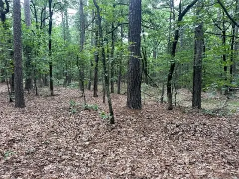
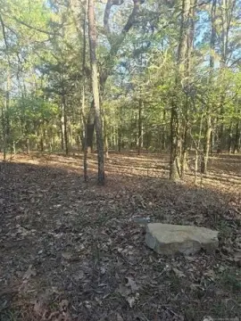
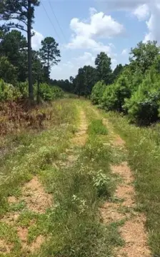
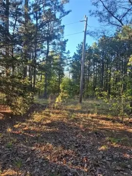
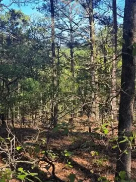
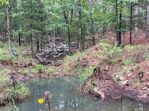
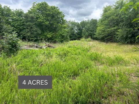
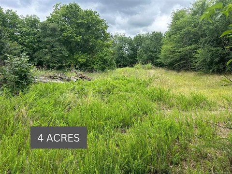
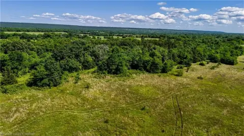
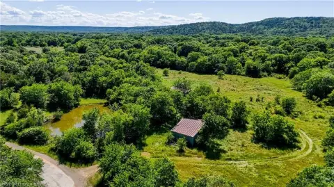
This 14.8-acre tract offers seclusion and hunting opportunities within the Kiamichi Wilderness, situated in a remote, private location. The property is near Kimbrough Creek, attracting deer, turkey, and other native game. It is suitable for hunting, recreational use, or a secluded cabin site. Electric service is available nearby for future development. The terrain is suited for ATV riding and exploring. The land is zoned for residential use and is located in Moyers, Oklahoma.
Key Highlights
- Remote, private location offering maximum seclusion and quiet.
- Excellent hunting opportunities with abundant deer, turkey, and other native game.
- Close proximity to Kimbrough Creek, naturally attracting wildlife.
Property Analytics
Property Profile
Location Intelligence
Current Use by Public Records
Hunting land
Similar For Sale Nearby
FAQs
What type of property is this?
Hunting land - Private 14.8-acre hunting and recreational land near Kimbrough Creek.
Where is this hunting land located?
The property is located at Wolf Trail Moyers, OK.
What is the asking price?
The asking price for this property is $148,000.
What are key features of this property?
This property features: Remote, private location offering maximum seclusion and quiet.; Excellent hunting opportunities with abundant deer, turkey, and other native game.; Close proximity to Kimbrough Creek, naturally attracting wildlife.