Hunting Land with Mature Hardwood
N Dessie Mount Pleasant, TX 75455
N Dessie, Mount Pleasant, TX, 75455
$1,090,000
For Sale
$1,090,000
LAND - Mt Pleasant, TX
Lot Size100.00 Acres
Days on Market283
Property Features for N Dessie
General Information
- Property type
- Land
- Property subtype
- Other
- Vegetation
- Heavily Wooded
- Fencing
- Partial
- Standard status
- Active
- Lot size
- 100.00 Acres
Listing agency
Patrick Redfearn Realty, LLC
(903) 717-8130
Listed by
Dean Jennings · License #0700472
(903) 717-8130
Added: Oct 13, 2025 Updated: Jul 5 at 2:30AM Checked: Jul 22 at 6:06AM
MLS# 25015221
Copyright © 2026 Greater Tyler Association of Realtors. All rights reserved. All information provided by the listing agent/broker is deemed reliable but is not guaranteed and should be independently verified.
Investment Insights
Based on property information with market context.
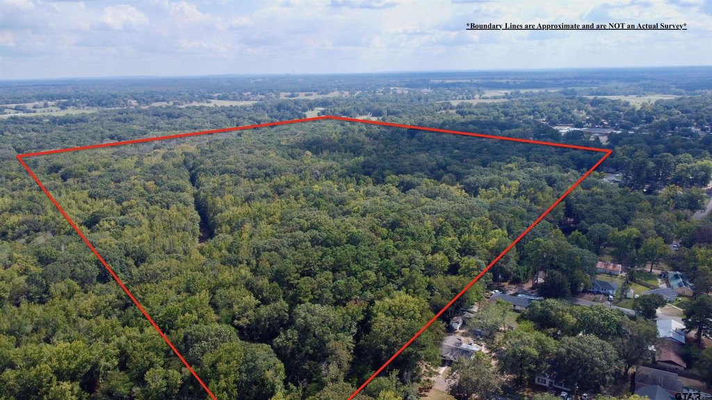
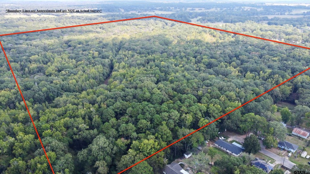
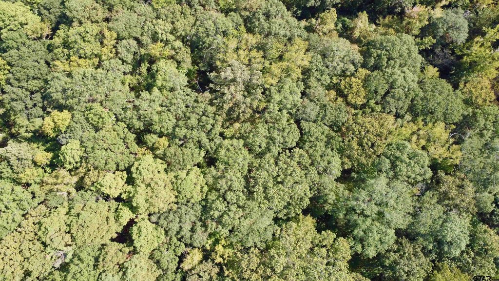
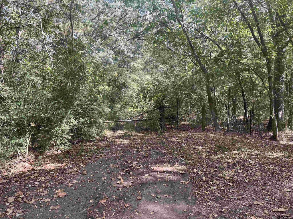
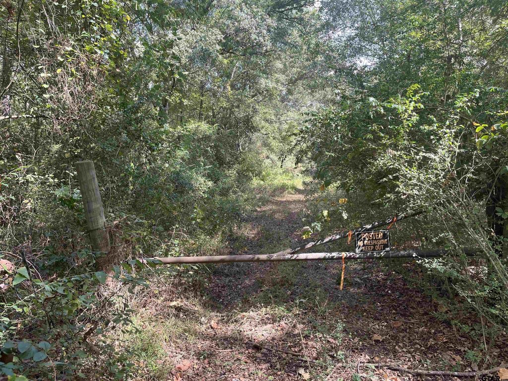
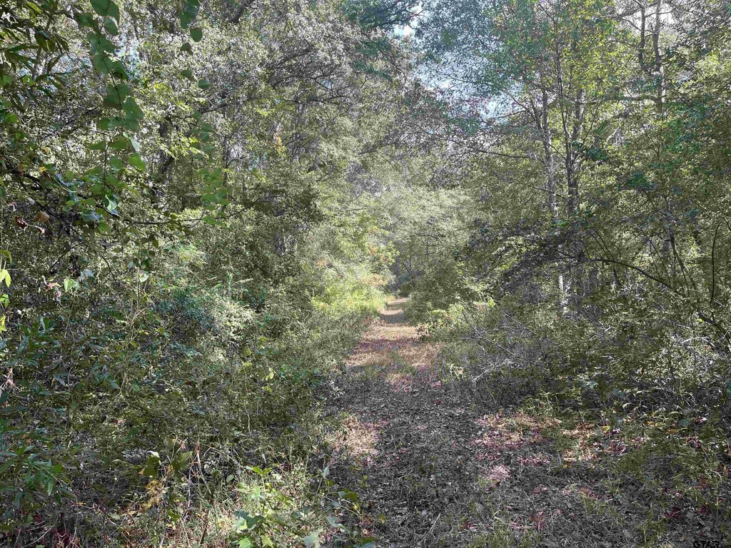
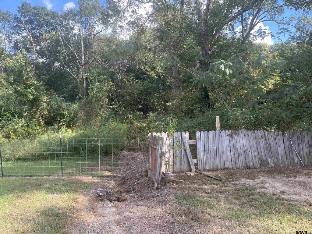
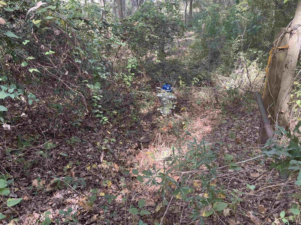
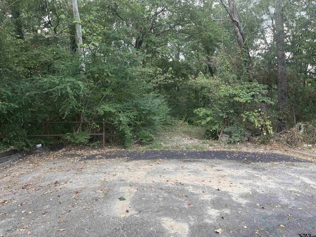
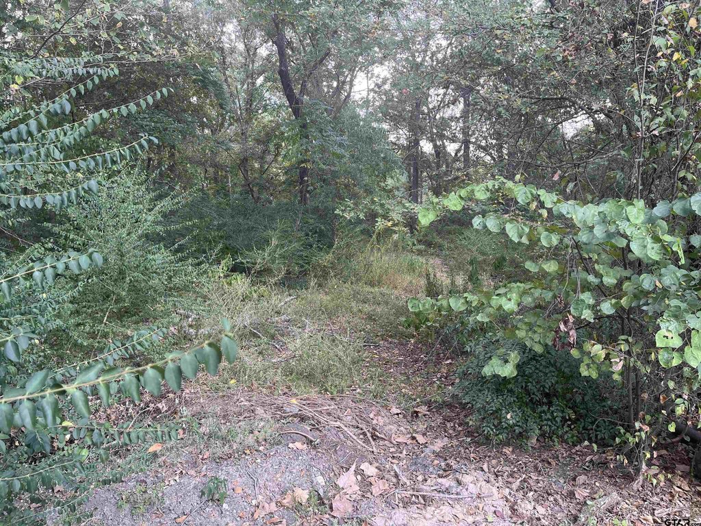
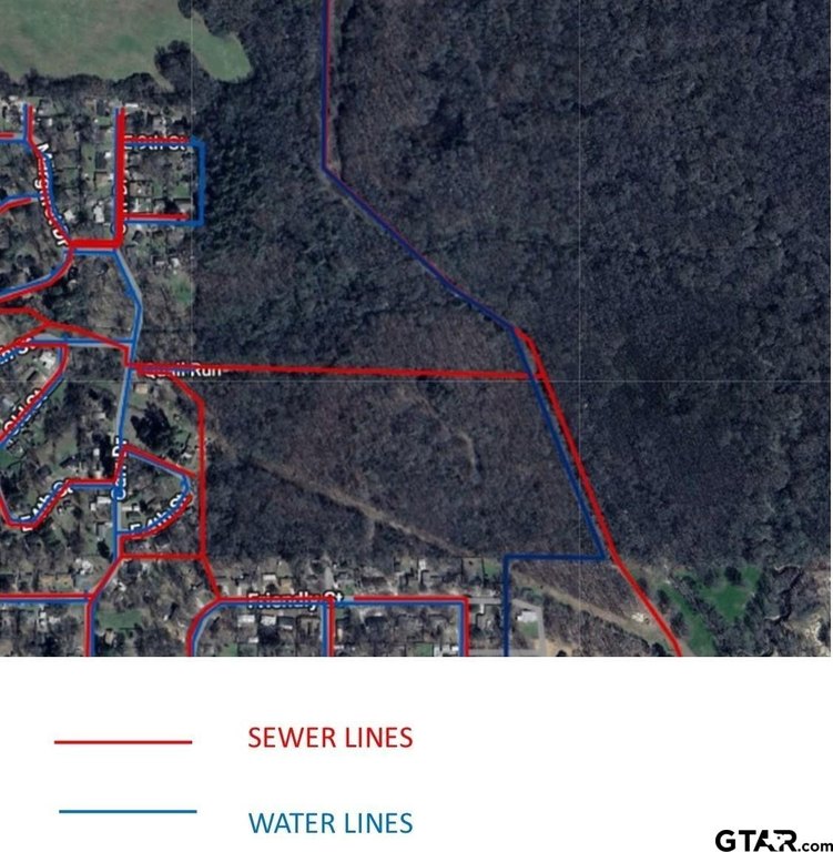
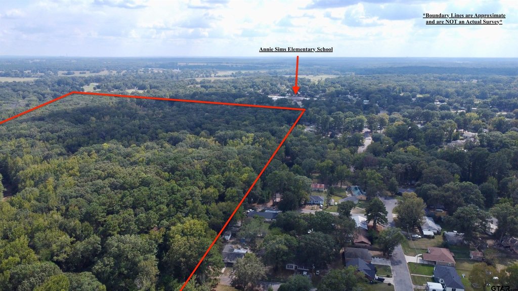
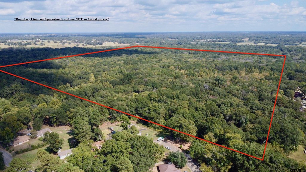
This offering is a 100+/- acre tract well-suited for hunting, with mature hardwood trees and an environment described as supporting abundant wildlife. The property includes acreage that can accommodate multiple building sites and features five separate entrances, with preferred access through Quail Run. The parent property has public water and sewer lines available, supporting on-site utility planning for future development. Buyer to independently verify all information, including utilities and acreage.
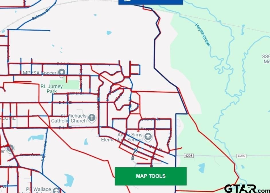
The tract is located near Annie Sims Elementary and I-30 for convenient access to the surrounding area. The seller notes the acreage is partially within city limits; however, buyers should confirm details related to zoning, city limits, and flood zone status. All measurements and site conditions should be independently verified by the buyer.
For a buyer looking for larger acreage in Titus County, this property combines hunting-oriented land characteristics with the ability to create building sites across the tract. Multiple entrances can be helpful for organizing access and usage across the property. With public water and sewer lines noted as available, the land may also appeal to buyers planning a residential build while maintaining substantial acreage for outdoor use. As with any larger land acquisition, confirm zoning, utility availability, and flood requirements before proceeding.
Key Highlights
- 100+/- acre tract with mature hardwood trees and abundant wildlife
- Excellent hunting land with multiple building sites across the property
- Five separate entrances, with preferred access through Quail Run
Property Analytics
Location Intelligence
Current Use by Public Records
Hunting land
Similar For Sale Nearby


FAQs
What type of property is this?
Hunting land - Large acreage tract with mature hardwoods, wildlife, and multiple entrances for hunting and potential building sites.
Where is this hunting land located?
The property is located at N Dessie Mount Pleasant, TX.
What is the asking price?
The asking price for this property is $1,090,000.
What are key features of this property?
This property features: 100+/- acre tract with mature hardwood trees and abundant wildlife; Excellent hunting land with multiple building sites across the property; Five separate entrances, with preferred access through Quail Run