Wooded Hunting Land with Road
MEMORY Lane Wabeno, WI 54566
MEMORY Lane, Wabeno, WI, 54566
$74,900
For Sale
$74,900
LAND - WABENO, WI
Lot Size7.15 Acres
Days on Market72
Property Features for MEMORY Lane
General Information
- Property type
- Land
- Property subtype
- Other
- Zoning
- Residential
- Standard status
- Active
- APN
- 028014390004
- Lot size
- 7.15 Acres
Taxes and HOA fees
- Tax Year
- 2024
- Tax Annual Amount
- 349
Utilities
- Utilities
- Electricity Available
Listing Agency
Shorewest, Realtors-Northern R
(715) 276-2301
13435 Weller Rd, MOUNTAIN, WI
Listed by
Al Luedtke · License #90-20465
(262) 305-5525
Added: May 8 Checked: Jul 18 at 12:06 pm
MLS# 50325318
Listing URL
Copyright © 2026 Realtor Association of Northeast Wisconsin. All rights reserved. All information provided by the listing agent/broker is deemed reliable but is not guaranteed and should be independently verified.
Investment Insights
Based on property information with market context.
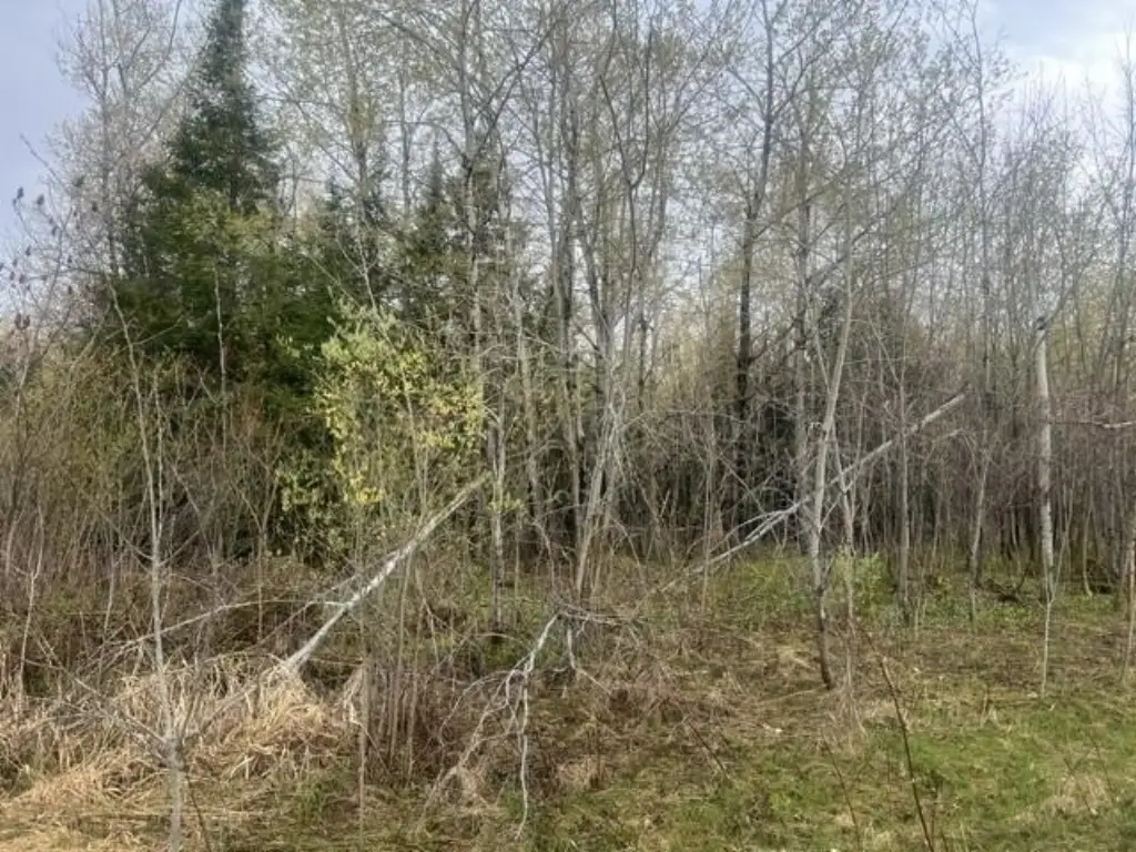
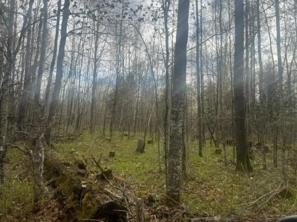
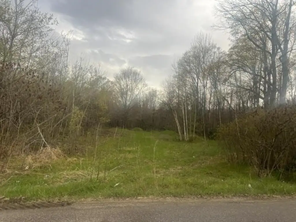
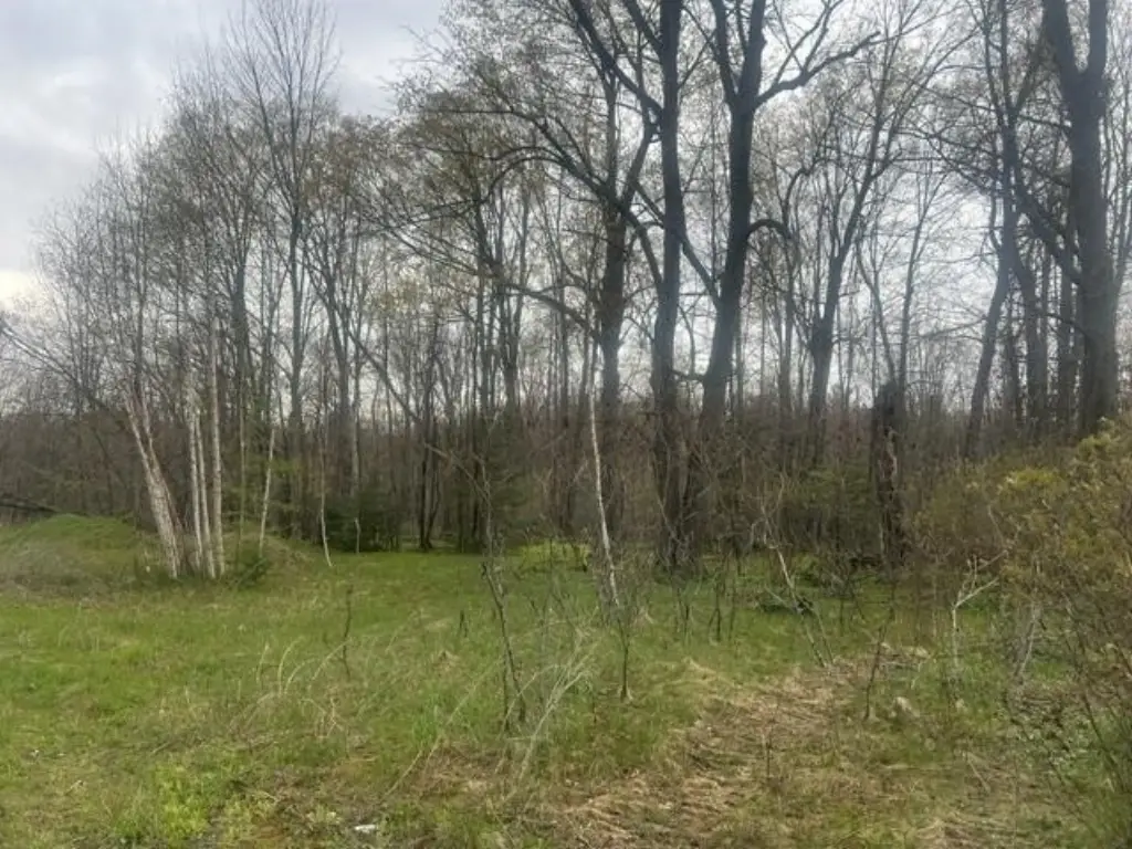
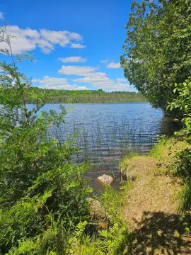
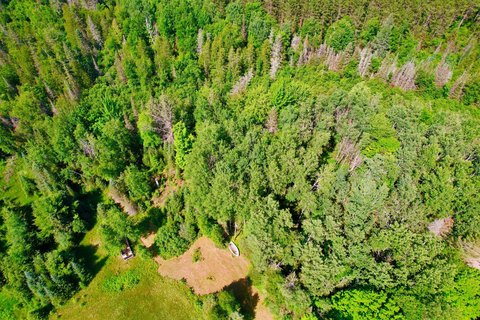
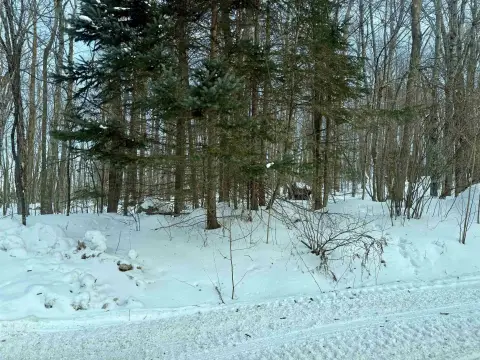
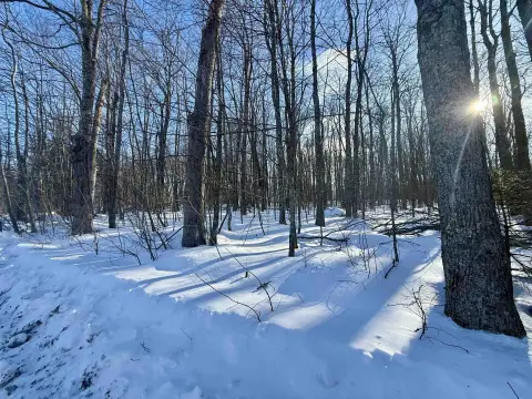
A 7.15-acre wooded land parcel consisting of pine, softwood, and hardwood. The property includes a rough grade entry to the lot and an open area already cleared out for a building site on Old 32. The lot is elongated for approximately 1/4 mile, extending to the west where it meets the Nicolet National Forest, which is open to hunting.
The parcel is described as being at the intersection of Memory Lane and Old 32 Road, with future driveway access possible from either road or both. Adjacent to the land is a 1970s-built trailer home on a 1.7-acre fully improved lot that is also for sale and habitable.
The property is zoned Residential. It is also described as being close to gas and convenient stores, public lakes, and ATV-UTV and snowmobile trails.
Key Highlights
- 7+ acre wooded lot at the intersection of Memory Ln and Old 32 Rd
- Elongated 1/4‑mile depth (about 1320 ft) west to where it meets the Nicolet National Forest
- Rough grade entry already in place and an open area cleared on Old 32 for a building site
Property Analytics
Property Profile
Location Intelligence
Current Use by Public Records
Hunting land
Similar For Sale Nearby

FAQs
What type of property is this?
Hunting land - Elongated wooded lot with a graded entry and cleared building area on Old 32 Road.
Where is this hunting land located?
The property is located at MEMORY Lane Wabeno, WI.
What is the asking price?
The asking price for this property is $74,900.
What are key features of this property?
This property features: 7+ acre wooded lot at the intersection of Memory Ln and Old 32 Rd; Elongated 1/4‑mile depth (about 1320 ft) west to where it meets the Nicolet National Forest; Rough grade entry already in place and an open area cleared on Old 32 for a building site


