Hunting and Recreation Land
Brown Fork Road Map 057-00-00-009.00 Lowmansville, KY 41232
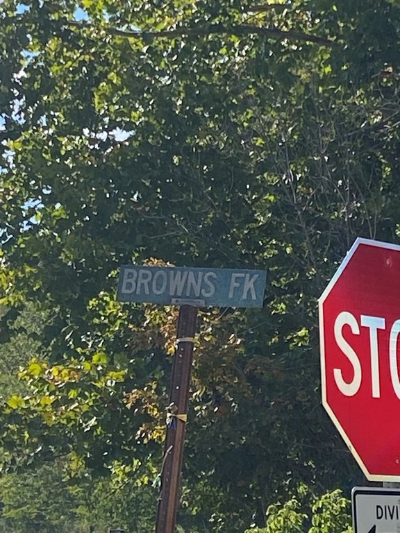
Brown Fork Road Map 057-00-00-009.00, Lowmansville, KY, 41232
Contact for pricing
For Sale
Contact for pricing
Pending
LAND - Lowmansville, KY
Lot Size7.00 Acres
Days on Market304
Property Features for Brown Fork Road Map 057-00-00-009.00
General Information
- Property type
- Land
- Property subtype
- Other
- Standard status
- Pending
- Lot size
- 7.00 Acres
Utilities
- Water source
- Public
Listing Agency
First Choice Realty & Assoc.
(606) 788-9002
KY
Listed by
Doug Wireman
(606) 205-6630
Added: Sep 19, 2025 Checked: Jul 19 at 8:06 am
MLS# 126560
Listing URL
Copyright © 2026 Eastern Kentucky Association of Realtors. All rights reserved. All information provided by the listing agent/broker is deemed reliable but is not guaranteed and should be independently verified.
Investment Insights
Based on property information with market context.
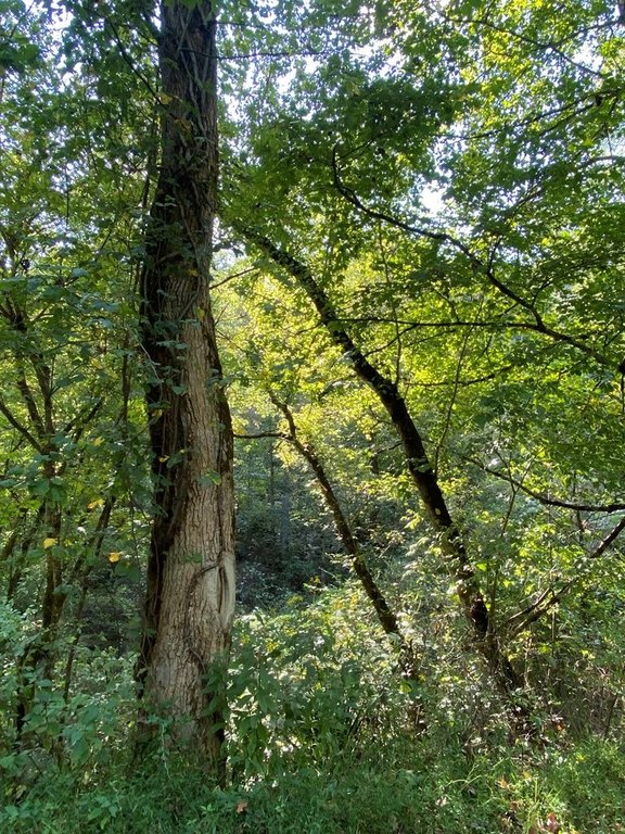
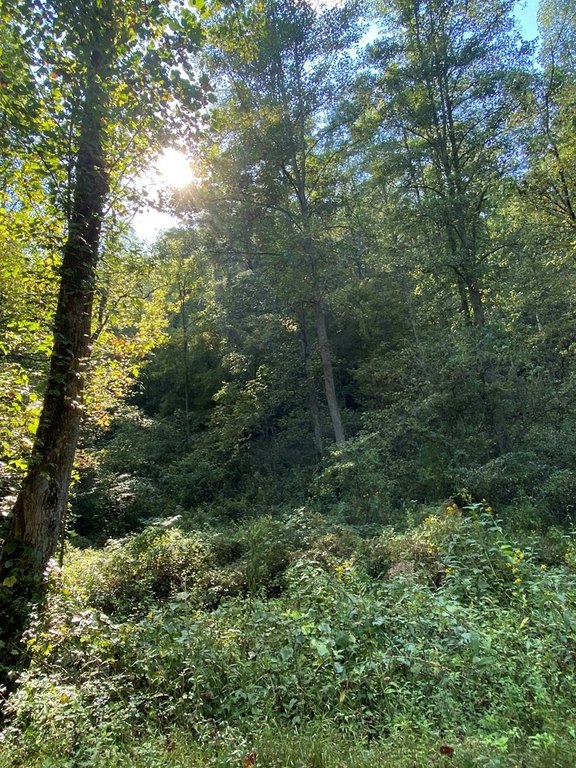
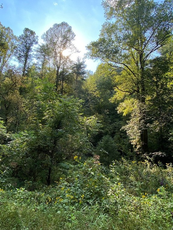
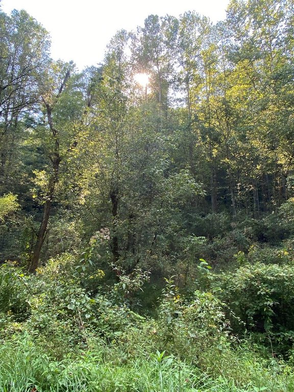
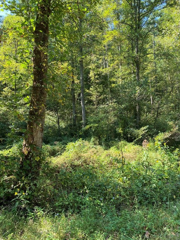
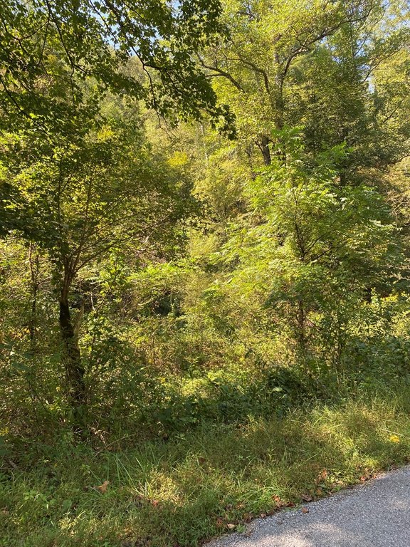
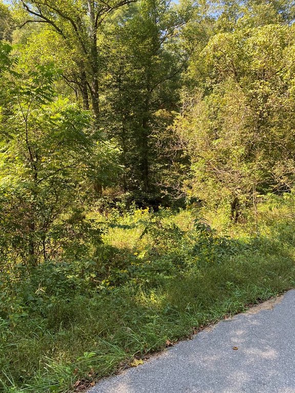
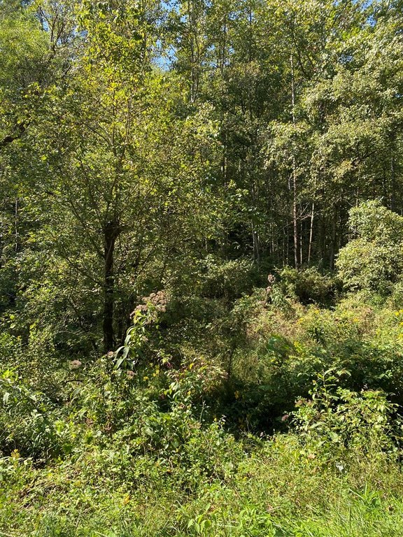
This offering is 7 acres of undeveloped land presented as a blank canvas for outdoor recreation and personal use. The property is described as pristine and natural, with no established utilities currently on site. While utilities are not in place, the listing states that water and electric are available.
Located on Brown Fork Road in Lowmansville, Kentucky, the land sits within Johnson County. The surrounding setting is characterized in the remarks as a nature environment, and the parcel is offered for buyers looking for flexibility in how they use and develop the acreage.
Recreationally oriented buyers may find the site suitable for activities such as hiking, camping, hunting, and ATV riding, based on the uses described in the listing. For those planning a home, retreat, or other private project, the lack of existing improvements can allow for a site-specific plan, with the practical consideration that utilities will need to be arranged since none are established on the property today.
Key Highlights
- 7‑acre undeveloped land in Lowmansville, KY, located in Johnson County
- Public water is available
- Electric is available
Property Analytics
Property Profile
Location Intelligence
Current Use by Public Records
Hunting land
FAQs
What type of property is this?
Hunting land - Undeveloped acreage suited for hunting and outdoor recreation, with water and electric available though utilities aren’t established.
Where is this hunting land located?
The property is located at Brown Fork Road Map 057-00-00-009.00 Lowmansville, KY.
What is the asking price?
The asking price for this property is Off market.
What are key features of this property?
This property features: 7‑acre undeveloped land in Lowmansville, KY, located in Johnson County; Public water is available; Electric is available