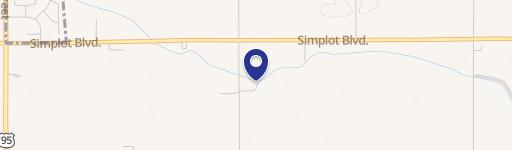
Lower Pleasant Ridge Rd, Wilder, ID 83676

- Added:
- Jul 17, 2024
- Days on Market:
- 711
- Last Refresh:
- Jun 27 at 4:06 pm
Property Features for Lower Pleasant Ridge Rd
General Information
- Property type
- Land
- Property subtype
- Other
- Standard status
- Active
- APN
- 37155011 0 and 37155010 0
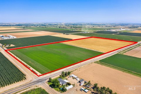
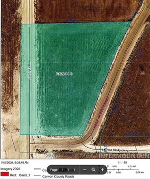
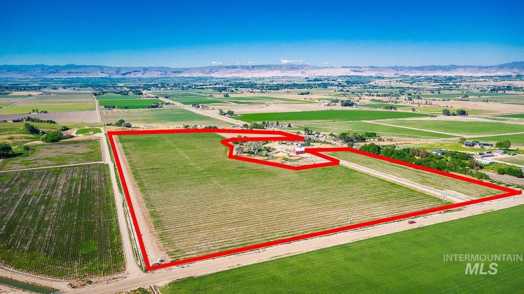
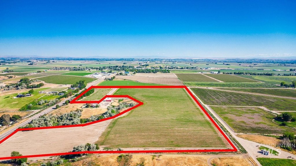
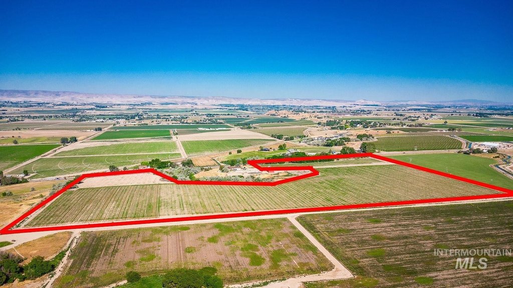
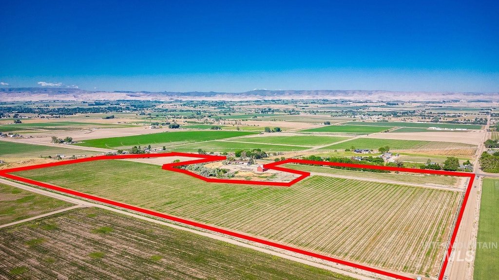
- Lot size
- 45.64 Acres
Taxes and HOA fees
- Tax Year
- 2023
- Tax Description
- 26-4N-5W Nw Tx 95549 In W 1/2 Nw AND
- Tax Annual Amount
- 538
Utilities
- Utilities
- Electricity Available
Listing agent Lindsay Batt License #SP33521 (208) 377-1187
Listing office Silvercreek Realty Group 1099 S. Wells, Meridian, ID (208) 377-0422
Listing date Jul 17, 2024
Copyright © 2026 Intermountain Multiple Listing Service. All rights reserved. All information provided by the listing agent/broker is deemed reliable but is not guaranteed and should be independently verified.
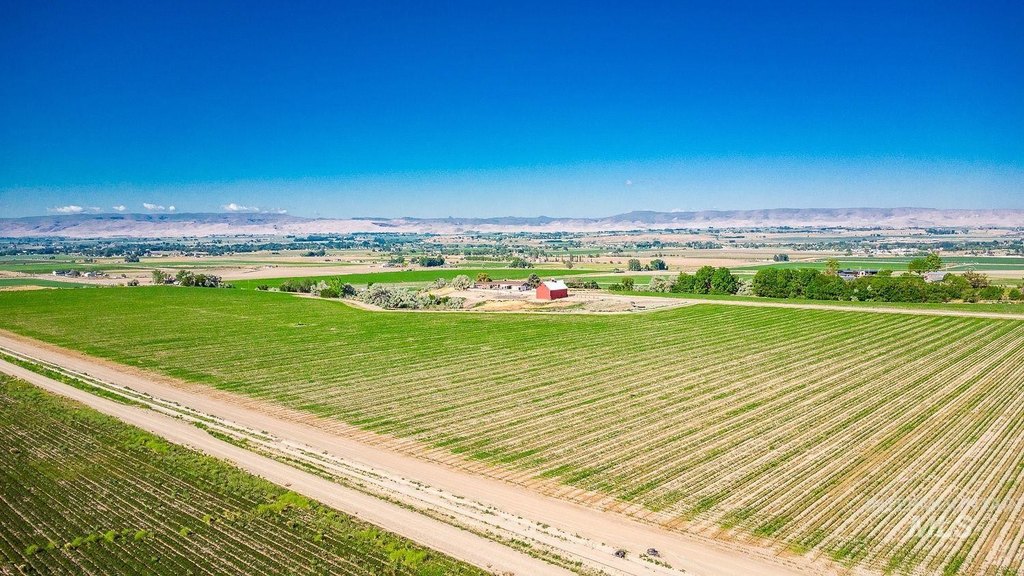
HighLights
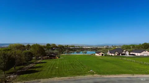
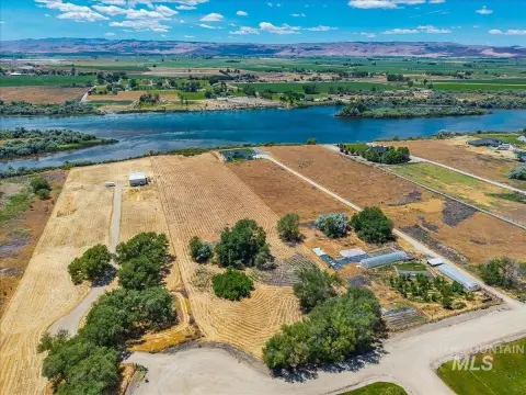
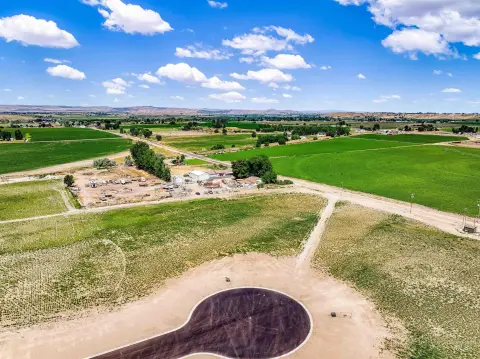
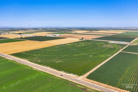
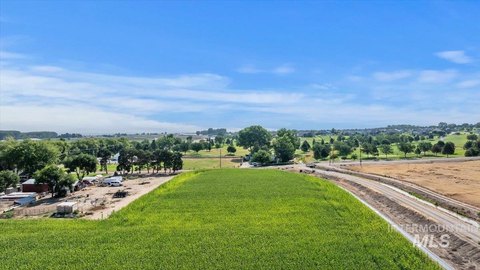
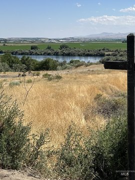
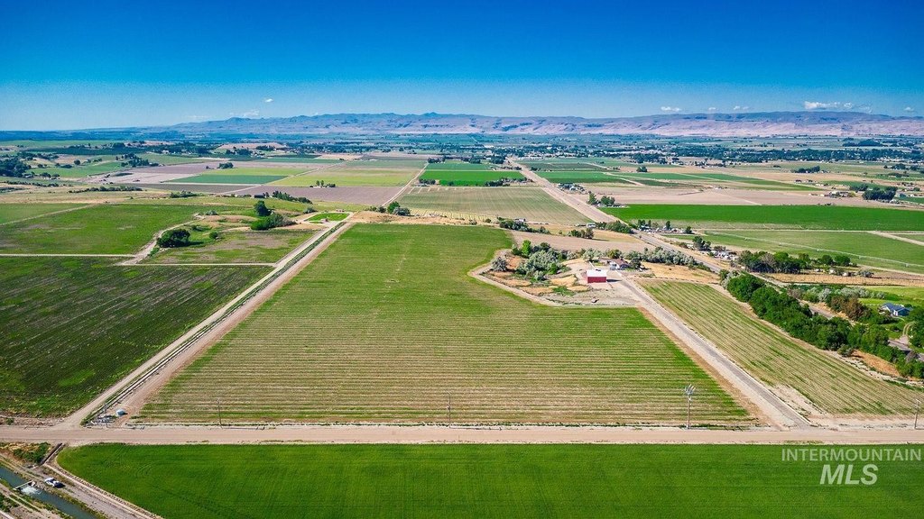
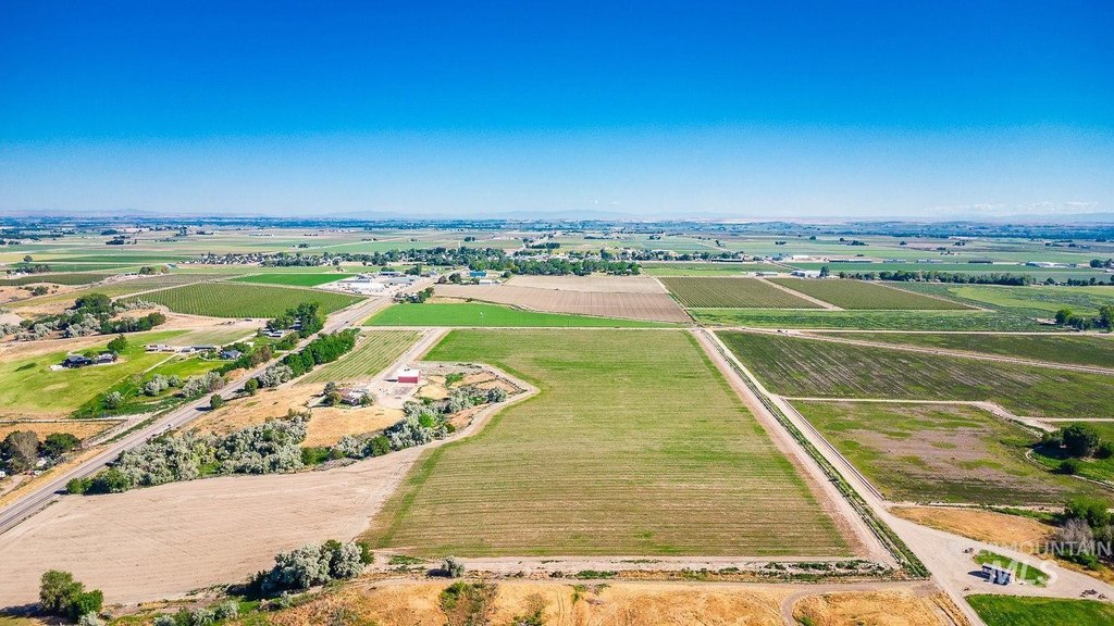
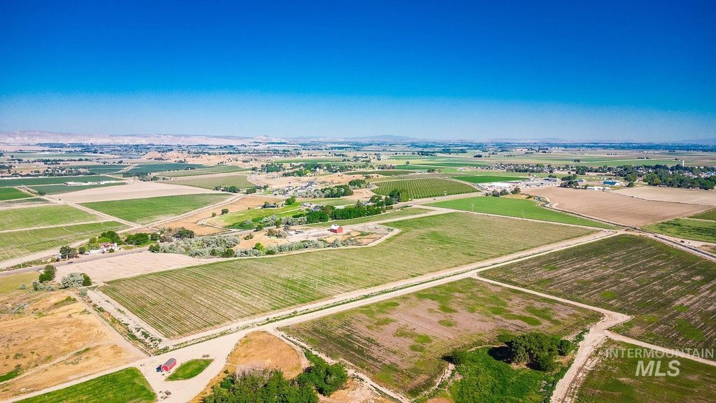
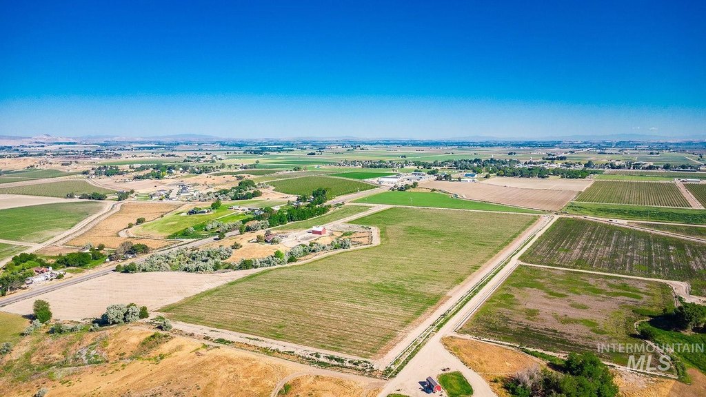
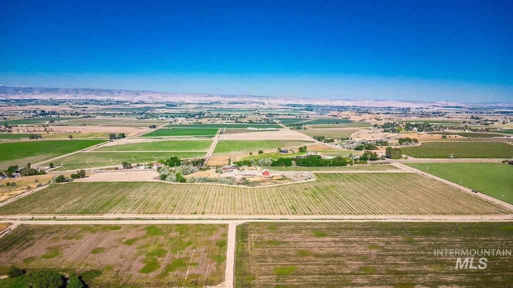
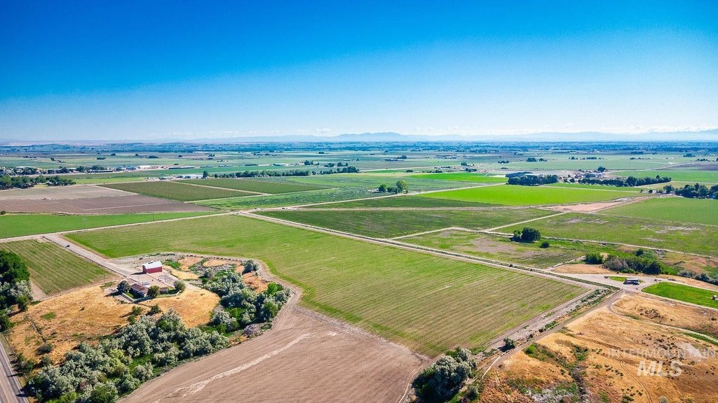
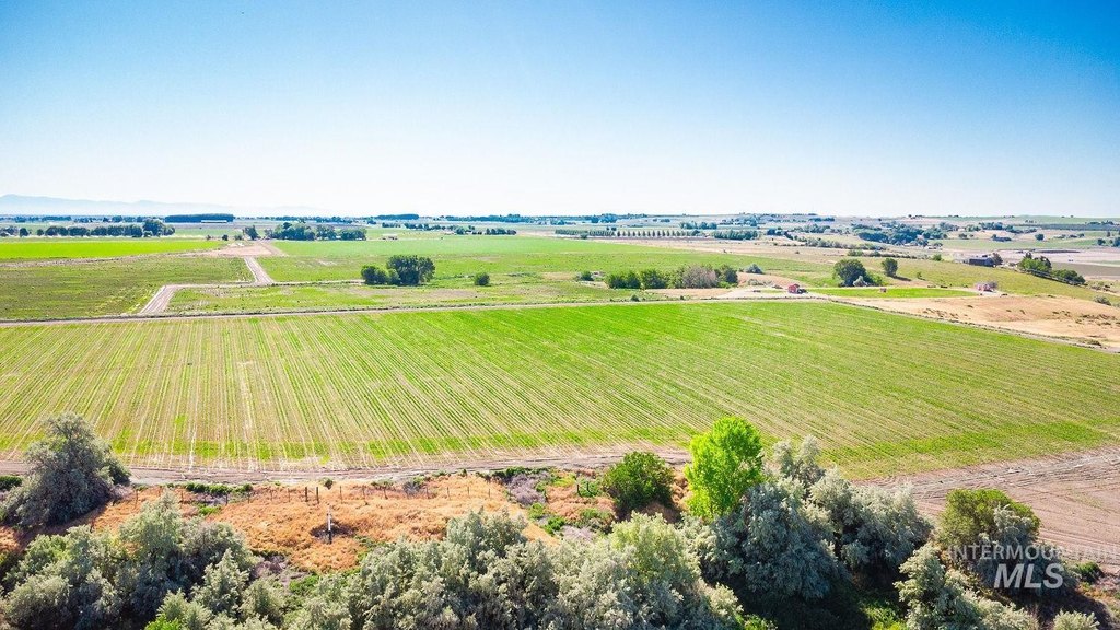
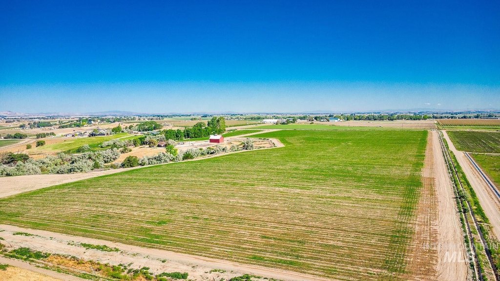
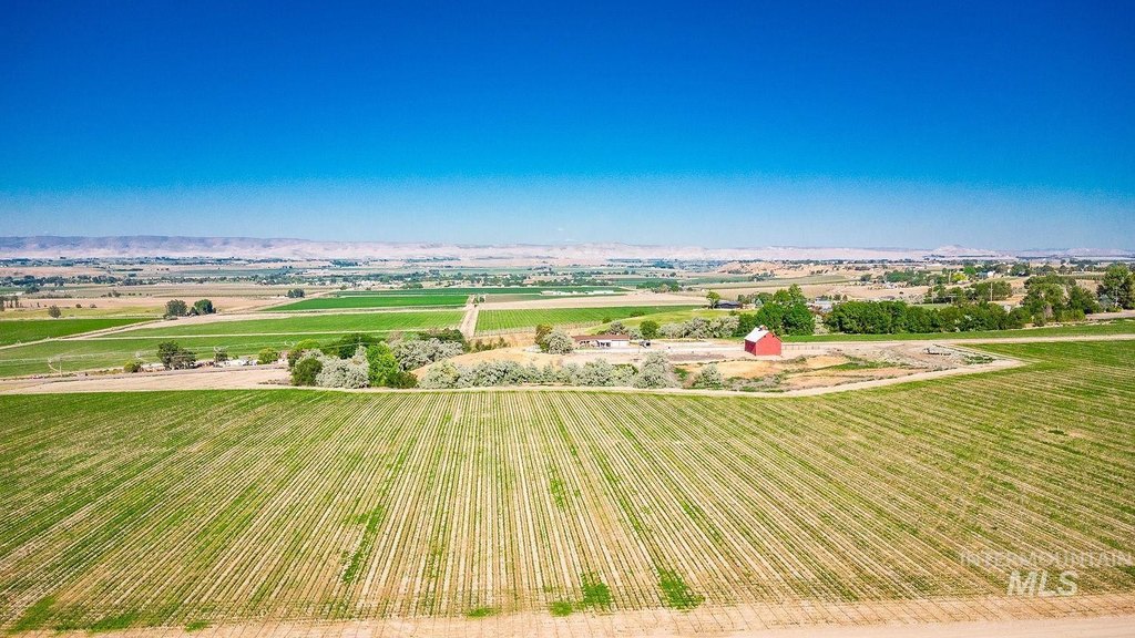
- Breathtaking views of the Owyhee Mountains and Snake River Valley.
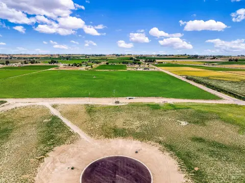
- Acreage suited for a Grand Country Estate, Vineyards, Agricultural Crops, or Large Animals.
- Potential for future development due to RR (2 acre lots) zoning.
- Private and peaceful setting in the heart of the Snake River Valley.
- Close proximity to recreational opportunities including the Snake River, Canyon Lands, and Owyhee Mountains.
- Convenient access to downtown Caldwell (15 minutes) and Boise Airport/Treasure Valley locations (45 minutes).
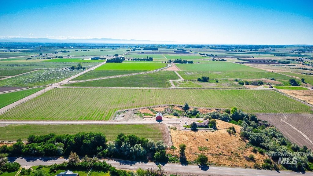
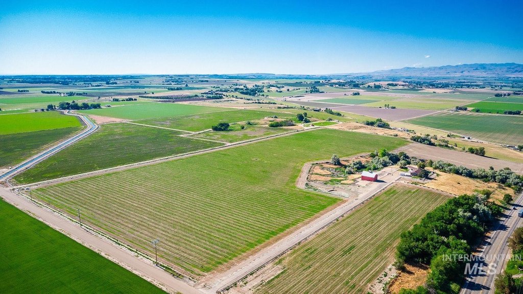
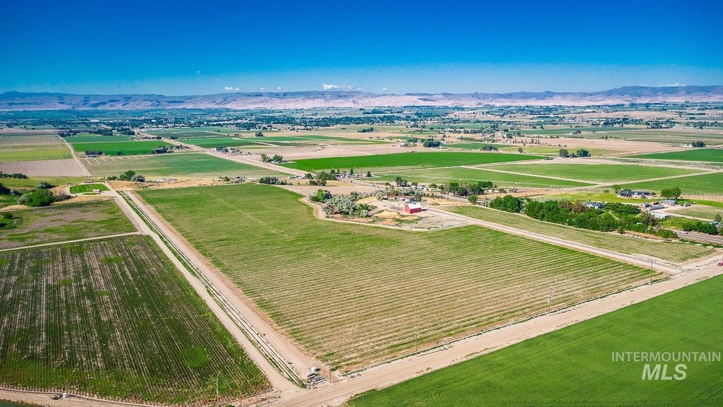
Overview
The property is located near the Snake River, as well as Canyon Lands and the Owyhee Mountains. Recreational opportunities are available in the surrounding area. Access to additional regional amenities is noted as approximately 45 minutes to Boise-area destinations, while downtown Caldwell is about 15 minutes away.
This acreage is well suited for buyers looking for rural lifestyle or land-use options, including vineyards and agricultural crops, as well as large animals or other horse and equestrian applications. With the bluff-top setting and RR zoning, the site can support planning for a country estate or future development consistent with the existing zoning framework.
Current Use by Public Records
Map
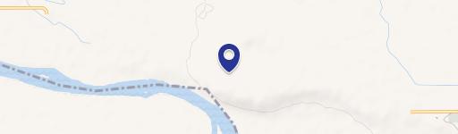
- City
- Wilder
- County
- Canyon
- State
- Idaho
- Longitude
- -116.908668
- Latitude
- 43.6599381