Historic Gold and Silver Mining
For Sale
$450,000
Londonderry Lode Mining Claim, Hall, MT 59837
Land, MT
Property SizeContact for details
Lot Size20.53 Acres
Days on Market25
Property Features for Londonderry Lode Mining Claim
General Information
Property type
Commercial Sale
Property subtype
Other
Vegetation
Brush
Subdivision
Londonderry
Lot features
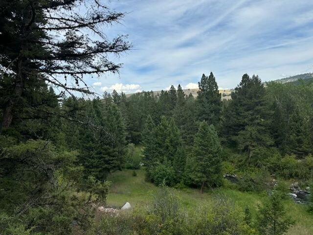
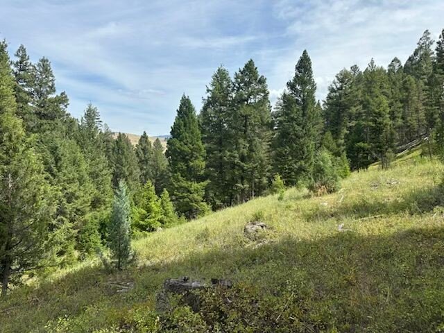
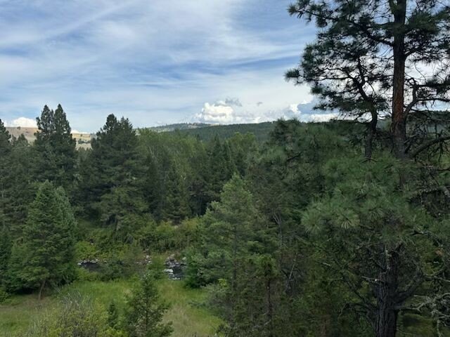
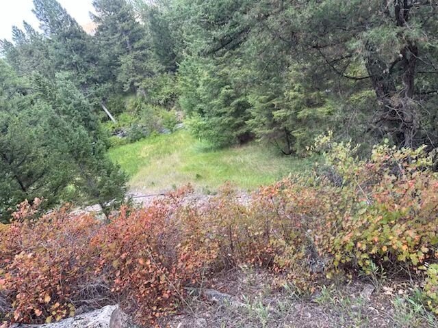
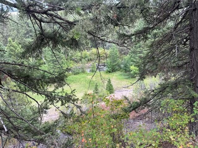
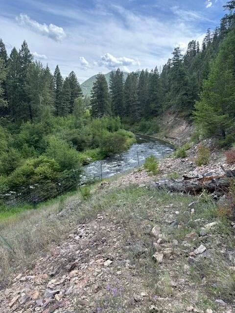
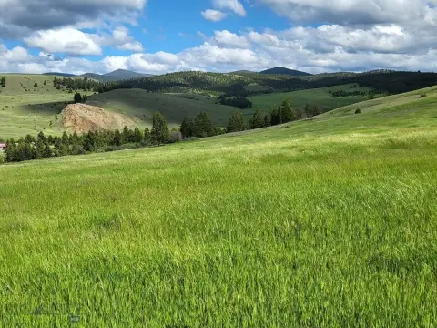
Interior Lot, Rolling Slope, Secluded, Trees, Views, Wooded
Directions
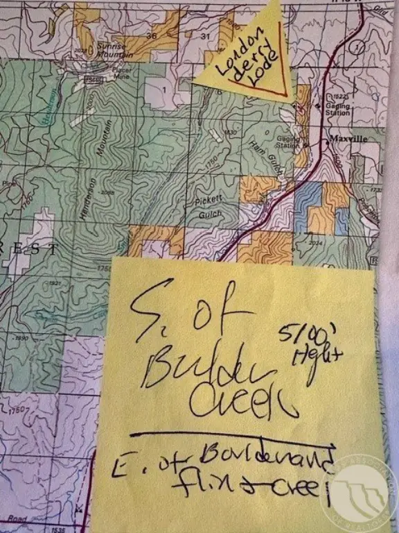
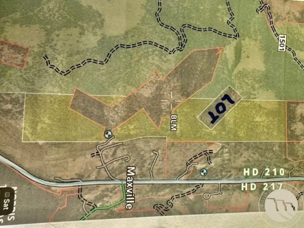
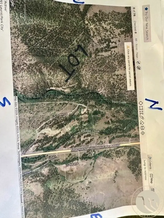
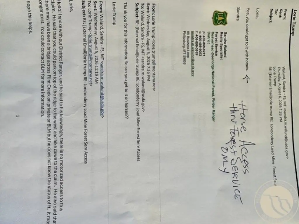
Horse or walk in US Forest Road #150l N of mine. 17 miles N of Phillipsburg
Standard status
Active
APN
1451252
Lot size
20.53 Acres
Taxes and HOA fees
Tax Description
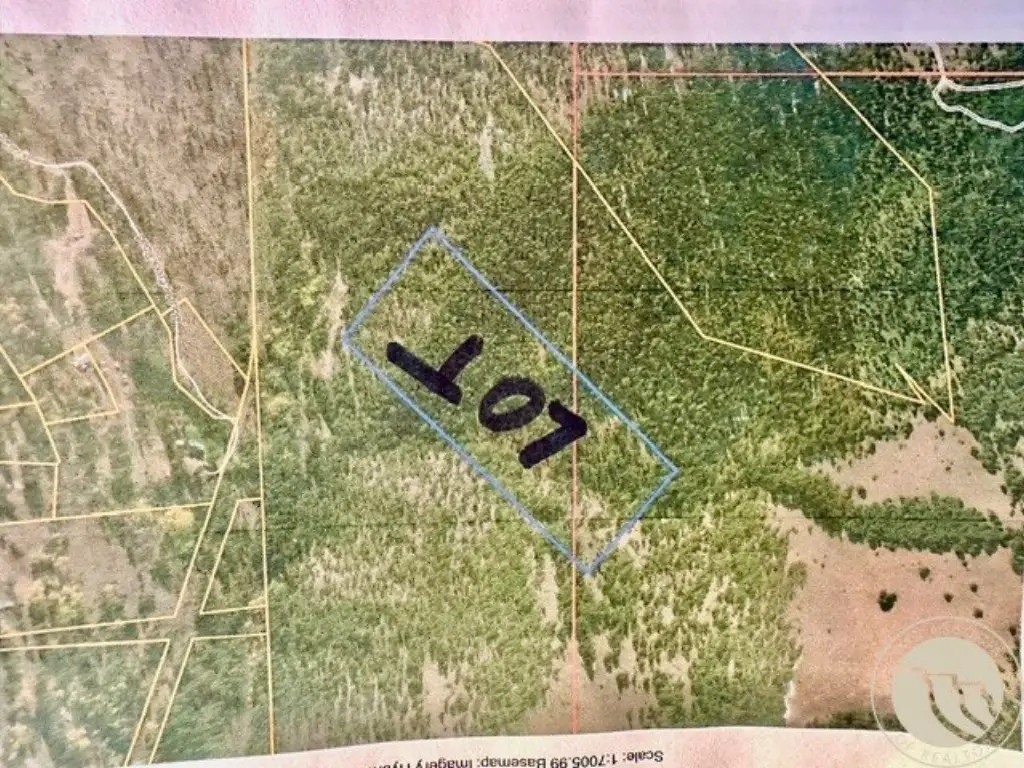
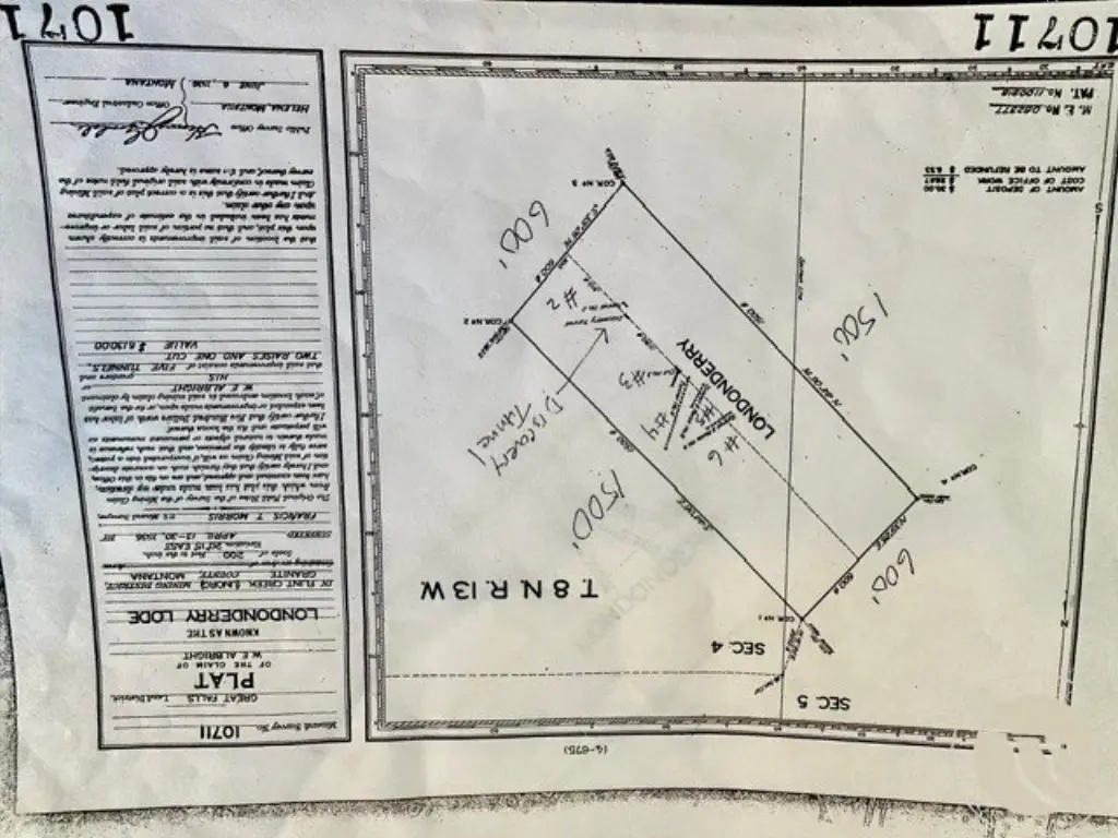
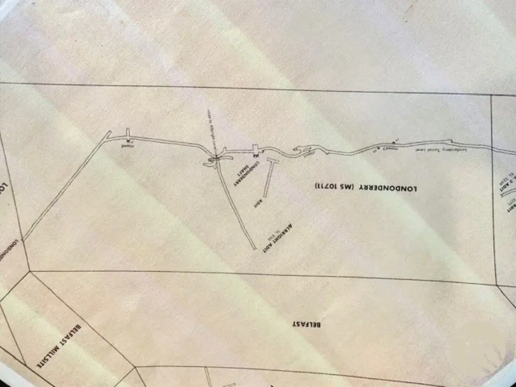
17 miles N of Phillipsburg MT. Londonderry Lode MS 10711 mining patent S05 T08N R13W 20.53 acres. Hall MT 59837
Tax Annual Amount
1247
Legal Description
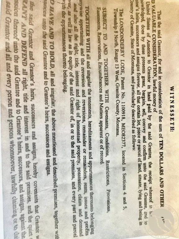
17 miles N of Phillipsburg MT. Londonderry Lode MS 10711 mining patent S05 T08N R13W 20.53 acres. Hall MT 59837
Listing Agency:
Landmark of Billings, Inc.
(406) 248-3101
Listed By:
Lorie Trump · License #RRE-RBS-LIC-10759
(406) 860-2902
Added: Aug 17
Changed: Sep 2
Last Checked: Sep 10 at 1:06PM
MLS# 361177
Copyright © 2026 Billings Association of Realtors. All rights reserved. All information provided by the listing agent/broker is deemed reliable but is not guaranteed and should be independently verified.
Investment Insights
Based on property information with market context.
This 20.53-acre mining claim in Granite County, Montana, conveys fee-simple title with 100% ownership transfer. The property is identified as the SD Historic Londonderry Lode and carries Federal Land Patent #1100918. Historic mining activity occurred in 1913, 1917, 1923, 1925, 1926, and 1938, with five tunnels, short adits, and open cuts remaining on the site. Lodgepole and Douglas fir are present.
Access is horse-only through National Forest Service land via #1501 dirt road. The claim lies in the Flint Creek mining district, approximately 17 miles north of Phillipsburg and northeast of Maxville, within a BLM and Forest Service area. The property measures approximately 600 feet wide by 1,500 feet long and sits at an elevation of 5,000 feet. Patent, survey, title, and ownership records are identified in the property information.
Access is horse-only through National Forest Service land via #1501 dirt road. The claim lies in the Flint Creek mining district, approximately 17 miles north of Phillipsburg and northeast of Maxville, within a BLM and Forest Service area. The property measures approximately 600 feet wide by 1,500 feet long and sits at an elevation of 5,000 feet. Patent, survey, title, and ownership records are identified in the property information.
Key Highlights
- 20.53‑acre mining claim in Granite County, MT
- SD Historic Londonderry Lode Federal Land Patent #1100918
- Gold and silver commodity designation with historic production
Property Analytics
Current Use
Location Intelligence
Trade Area within ½ mile
3
Businesses Nearby
Explore this area
Business Placement
Demographics for 59837, MT
400
Population
267
Households
1.5
Avg Household Size
49
Median Age
15%
College-Educated
100%
High-School Grad
195.8 sq mi
ZIP Area
2
Density / Sq Mi
$49,375
Median Household Income
$36,563
Median Earnings
$795
Median Rent
$342,400
Median Home Value
Market
Vacancy Rate% for Industrial in West region

Questions? Ask Rey
Realmo’s AI knows this listing — price, zoning, demand, history. Ask anything.


Frequently Asked Questions
What type of property is this?
Mining land & claim - Patented private mining property with documented historic gold and silver production.
Where is this mining land & claim located?
The property is located at Londonderry Lode Mining Claim Hall, MT.
What is the asking price?
The asking price for this property is $450,000.
What are key features of this property?
This property features: 20.53‑acre mining claim in Granite County, MT; SD Historic Londonderry Lode Federal Land Patent #1100918; Gold and silver commodity designation with historic production