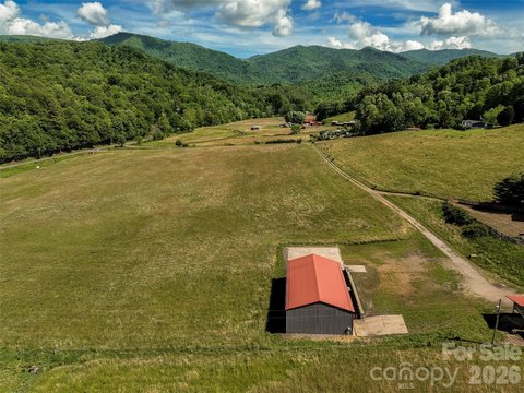
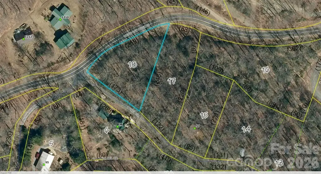
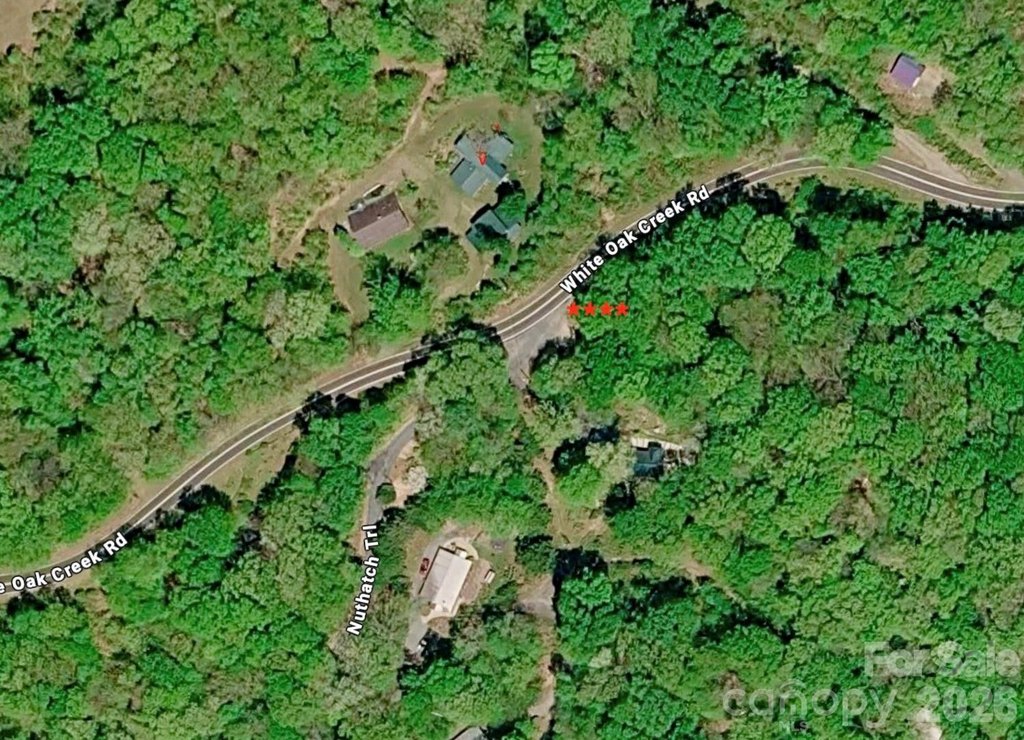
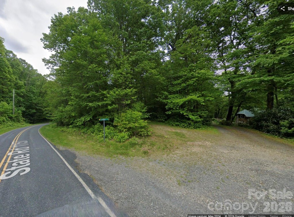
Laurel Circle Road Burnsville, NC 28714
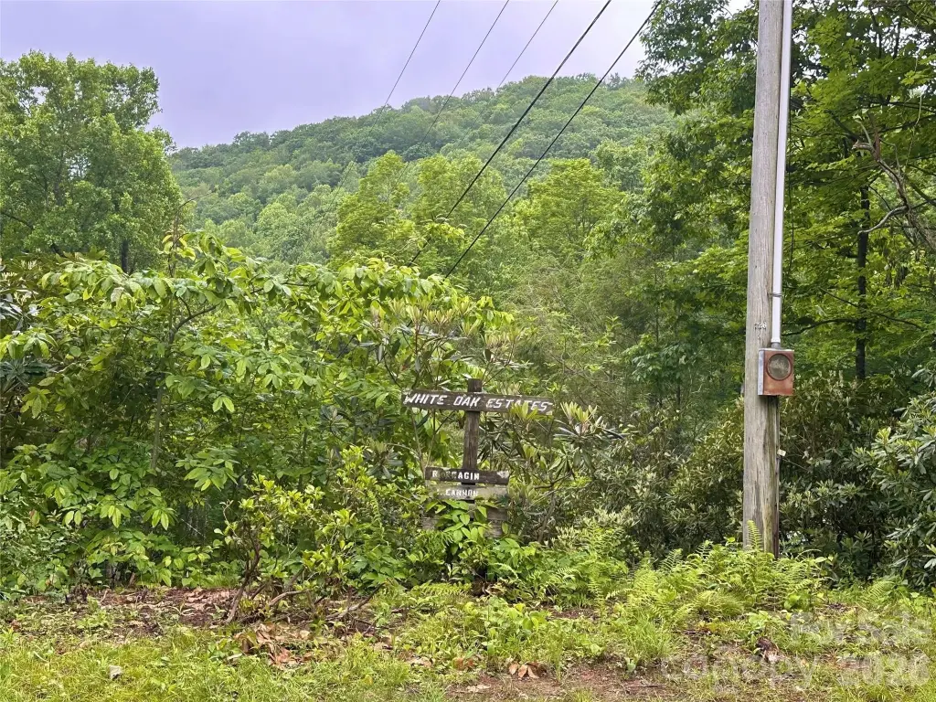
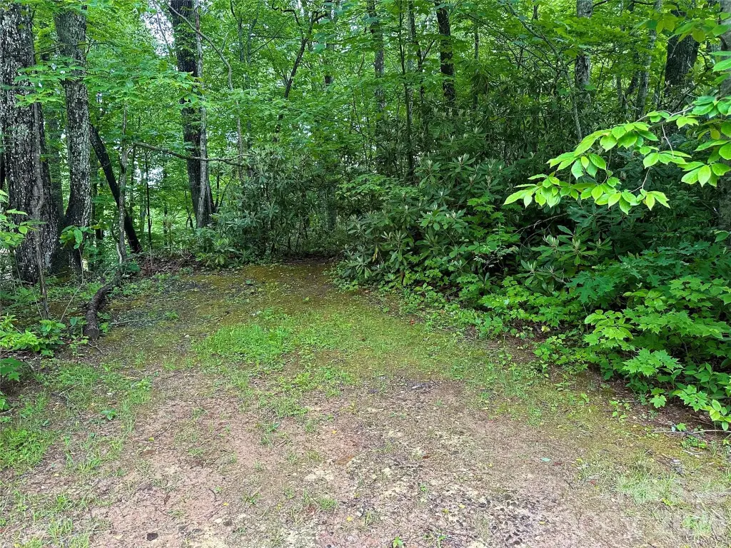
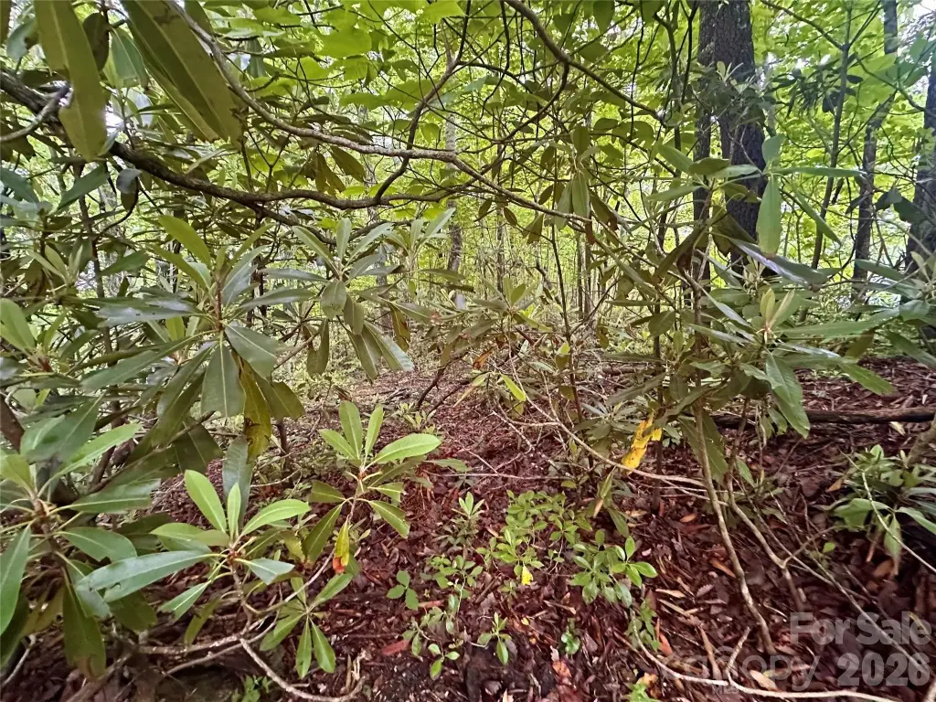
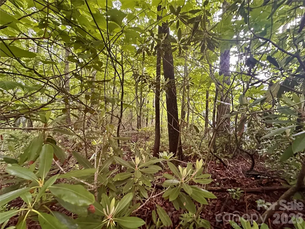
LAND - Burnsville, NC
Property Features for Laurel Circle Road
General Information
- Property type
- Land
- Property subtype
- Other
- Standard status
- Active
- APN
- 074000712715000
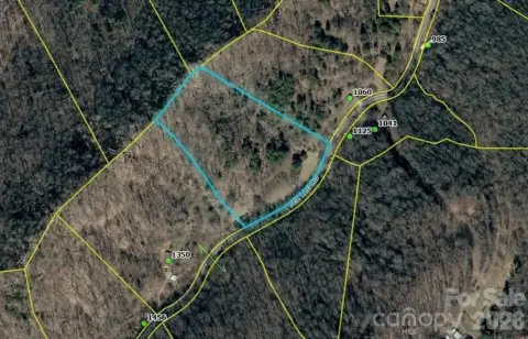
- Lot size
- 0.61 Acres
Taxes and HOA fees
- Tax Description
- Vacant Land - 0.61 acres per survey by CN Baumann
Utilities
- Sewer type
- Septic Needed
- Water source
- Well
Listing agent Connie Ray License #221463 (828) 467-1335
Listing office Foxfire Real Estate, LLC 286 Oak Ave, Spruce Pine, NC (828) 766-9509
Listing date May 25, 2026
Copyright © 2026 Canopy MLS. All rights reserved. All information provided by the listing agent/broker is deemed reliable but is not guaranteed and should be independently verified.
Investment Insights
Based on property information with market context.
Key Highlights
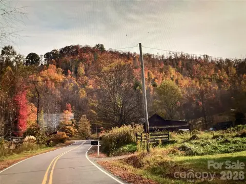
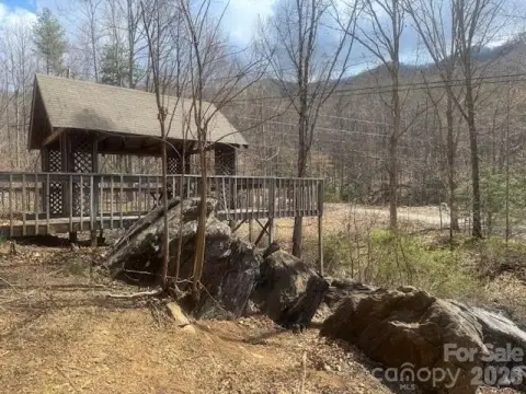
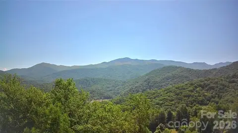
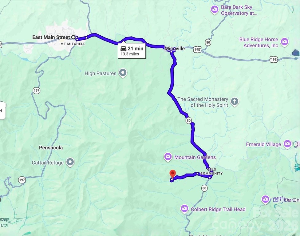
- Unparalleled access to outdoor adventure with direct access to Pisgah National Forest, Black Mountain Crest Trail, and White Oak Creek Falls.
- Prime location in a coveted wilderness area of Western North Carolina near Mount Mitchell.
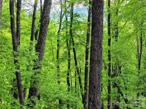
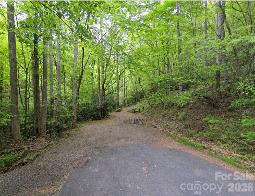
- 0.61‑acre wooded lot offering a canvas for a dream mountain cabin or forever home.