Hunting Land with Public-Land
New
For Sale
$1,050,000
Hwy 25 N, Kettle Falls, WA 99141
Land, Kettle Falls, WA
Property SizeContact for details
Lot Size257.00 Acres
Days on Market5
Property Features for Hwy 25 N
General Information
Property type
Land
Property subtype
Other
Lot features
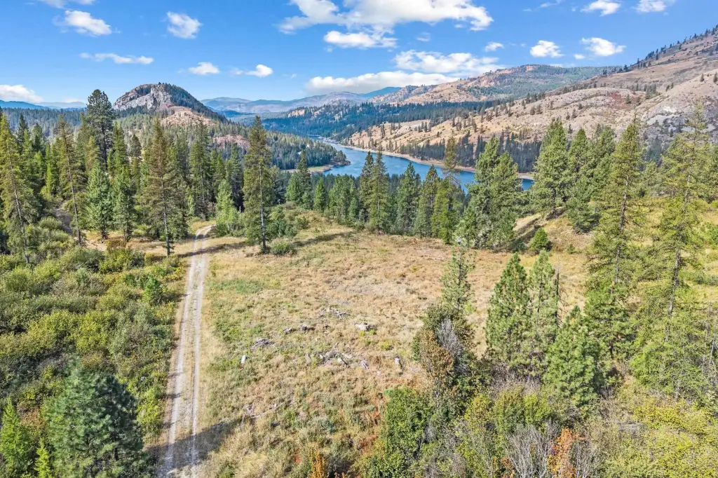
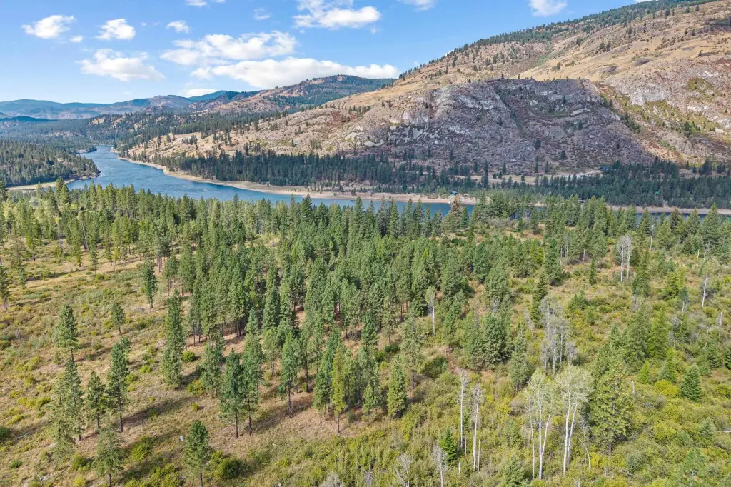
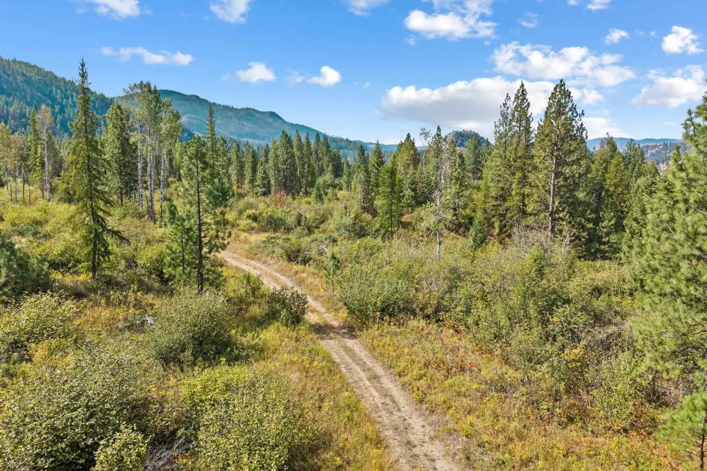
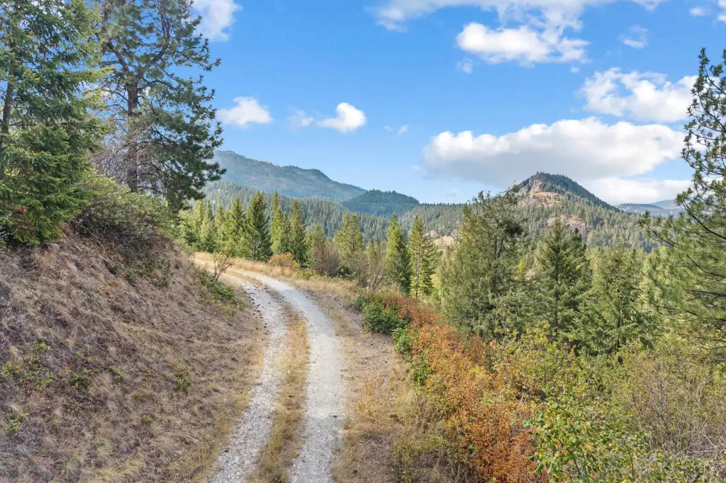
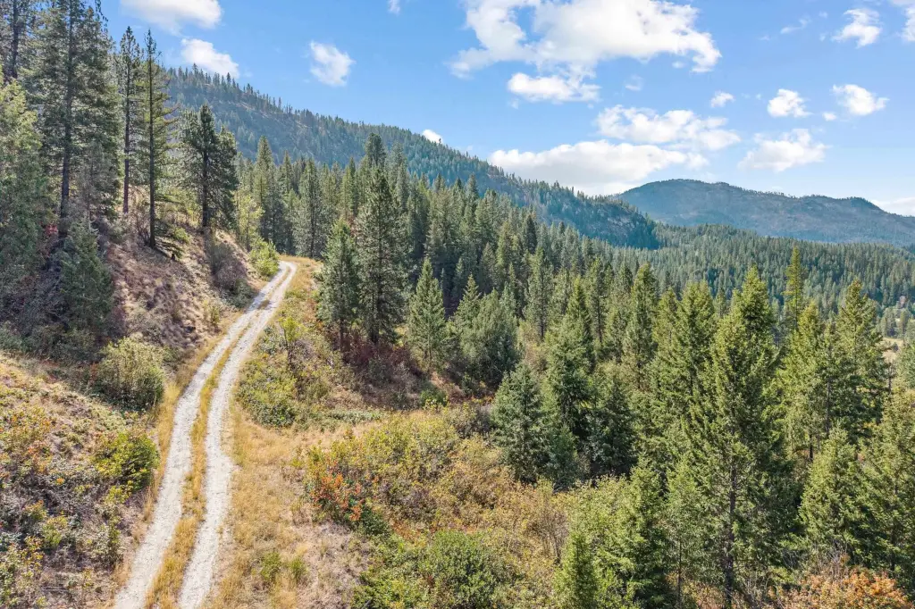
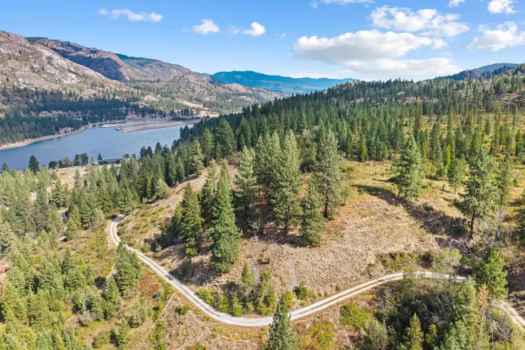
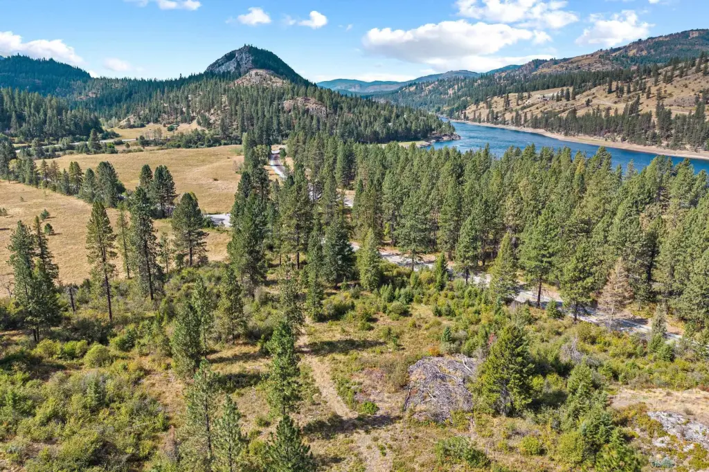
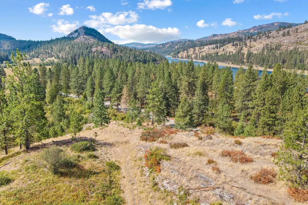
Views, Treed, Secluded, Open Lot, Hillside, Rolling Slope, Oversized Lot, Surveyed, Horses Allowed, Border Public Land
View
Water, Territorial
Elementary school district
Kettle Falls
Directions
From Kettle Falls travel North on Hwy 25 for approx. 30 miles to property on right side of Hwy (Mile marker 109.8). Look for sign. Private access road is approx 7 miles north of China Bend Boat Launch.
Standard status
Active
APN
2375405
Lot size
257.00 Acres
Utilities
Water source
Well
Listing Agency:
John L Scott, Inc.
(509) 455-8600
Listed By:
Michael Schmidt · License #137187
(509) 994-7015
Added: Sep 18
Changed: Sep 19
Last Checked: Sep 22 at 2:06PM
MLS# 202624476
Copyright © 2026 Spokane Association of REALTORS®. All rights reserved. All information provided by the listing agent/broker is deemed reliable but is not guaranteed and should be independently verified.
Investment Insights
Based on property information with market context.
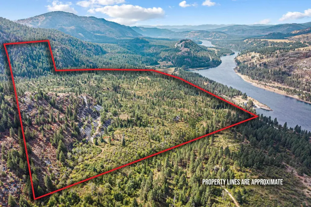
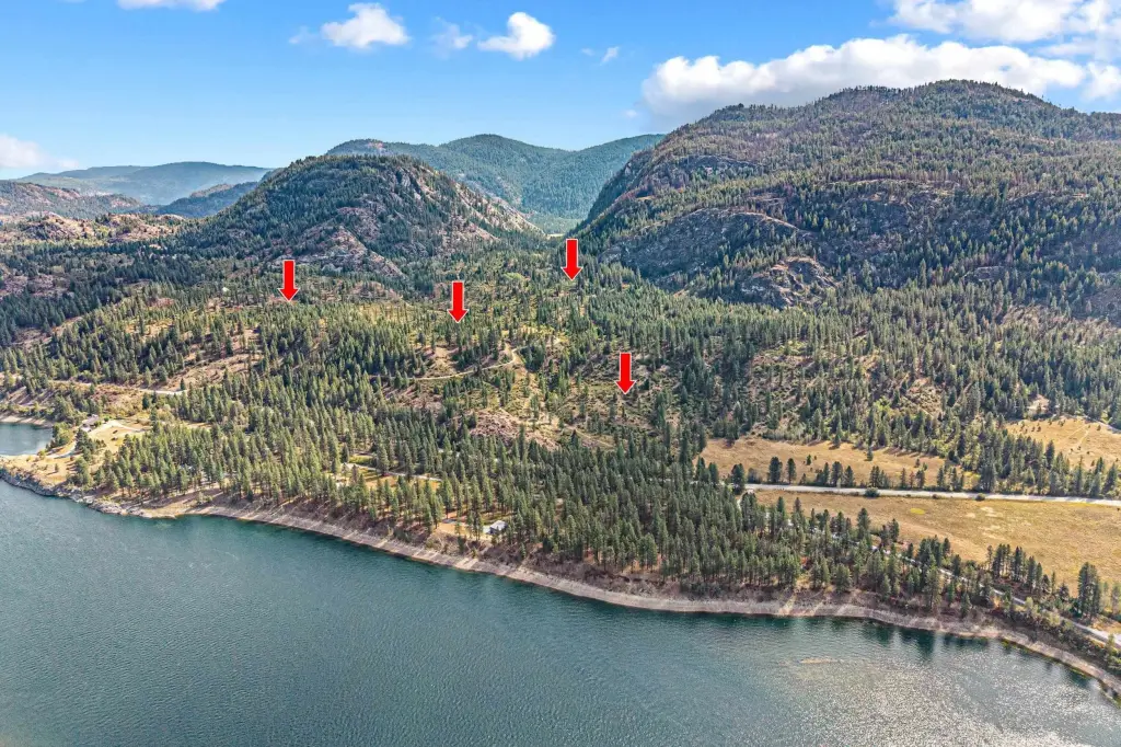
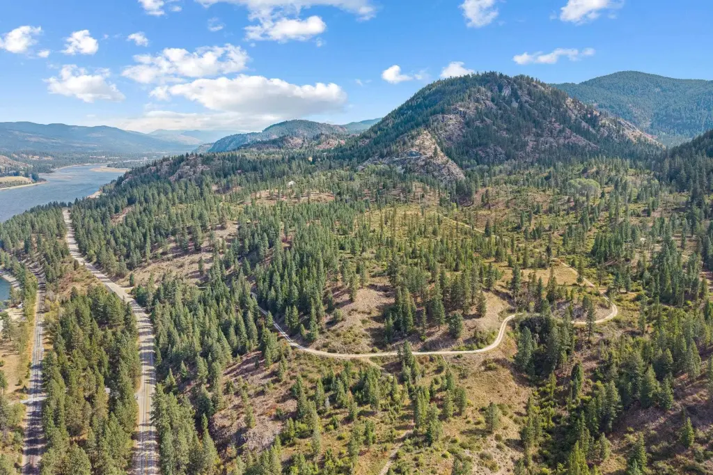
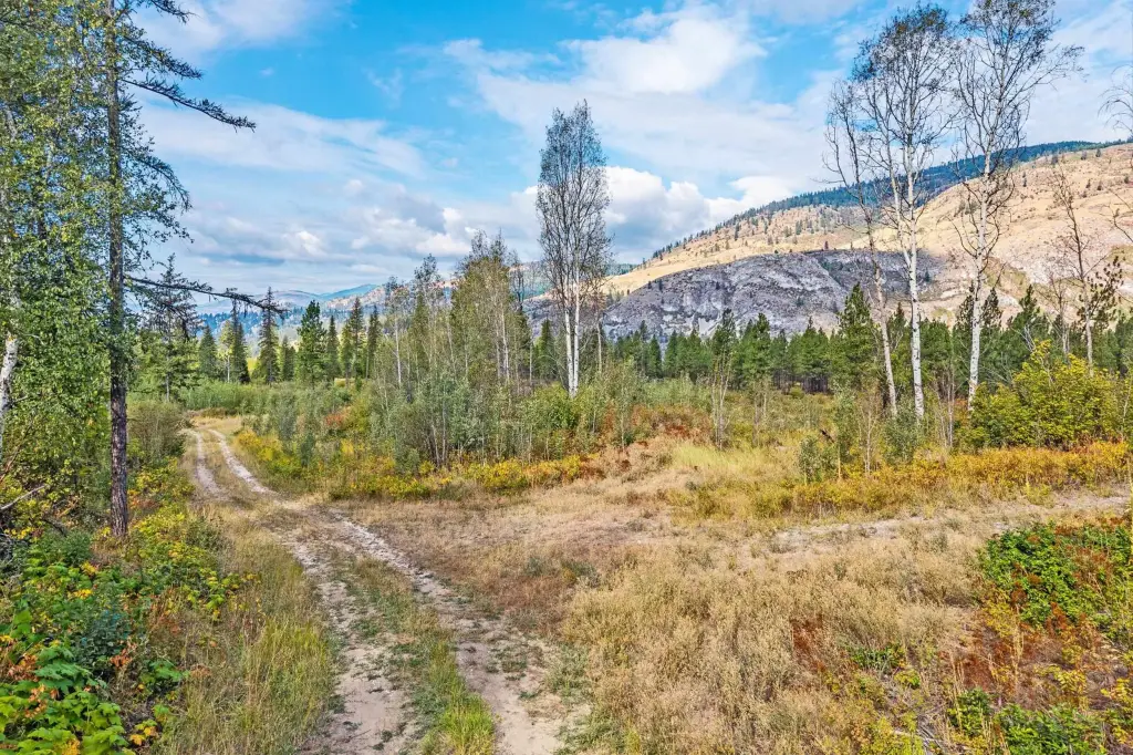
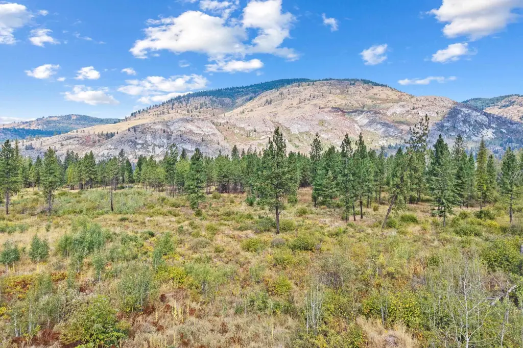
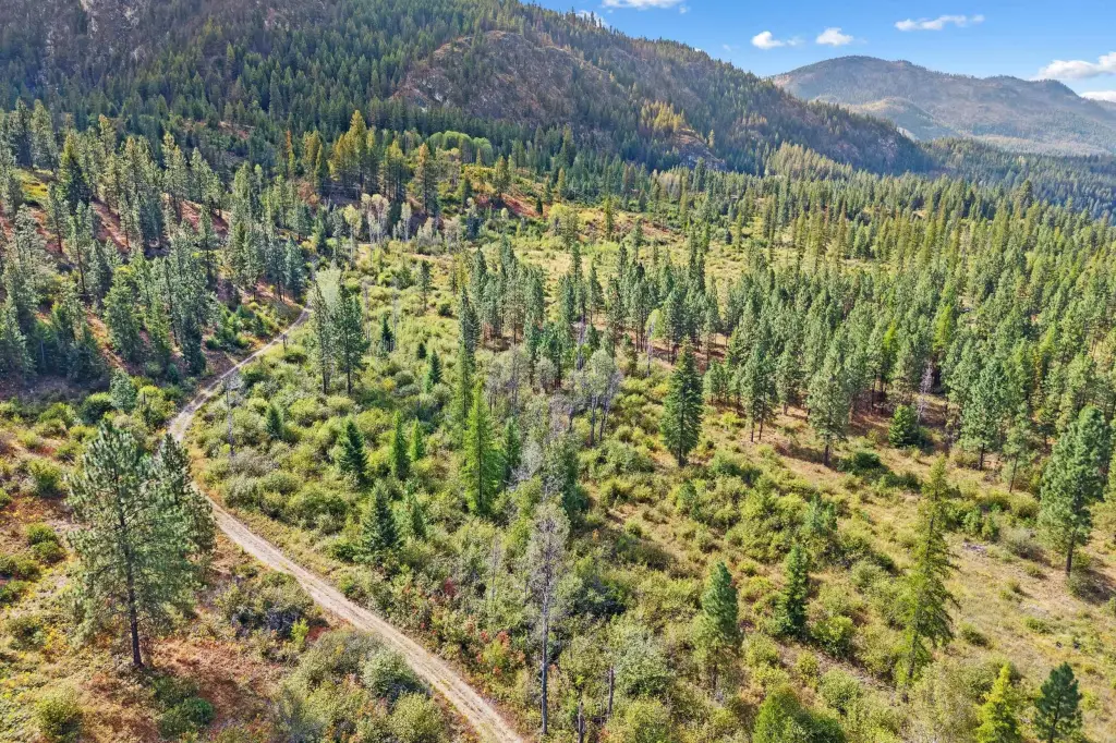
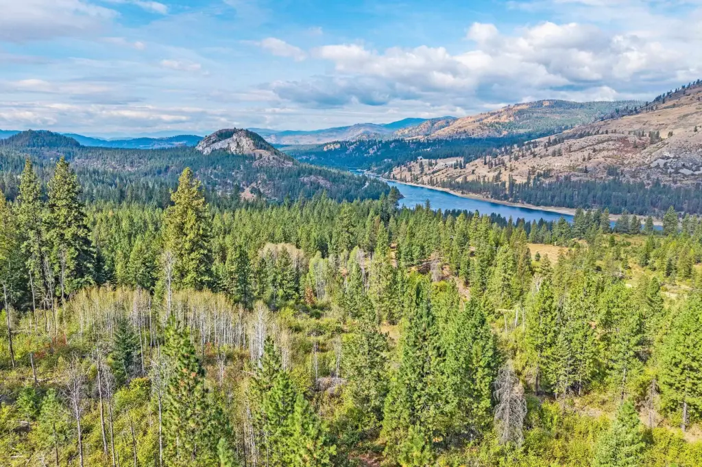
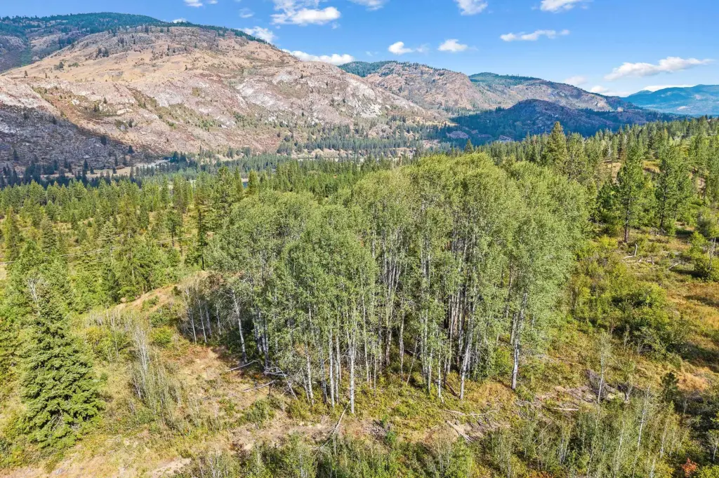
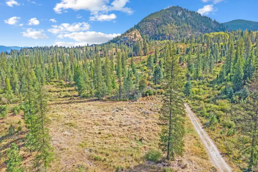
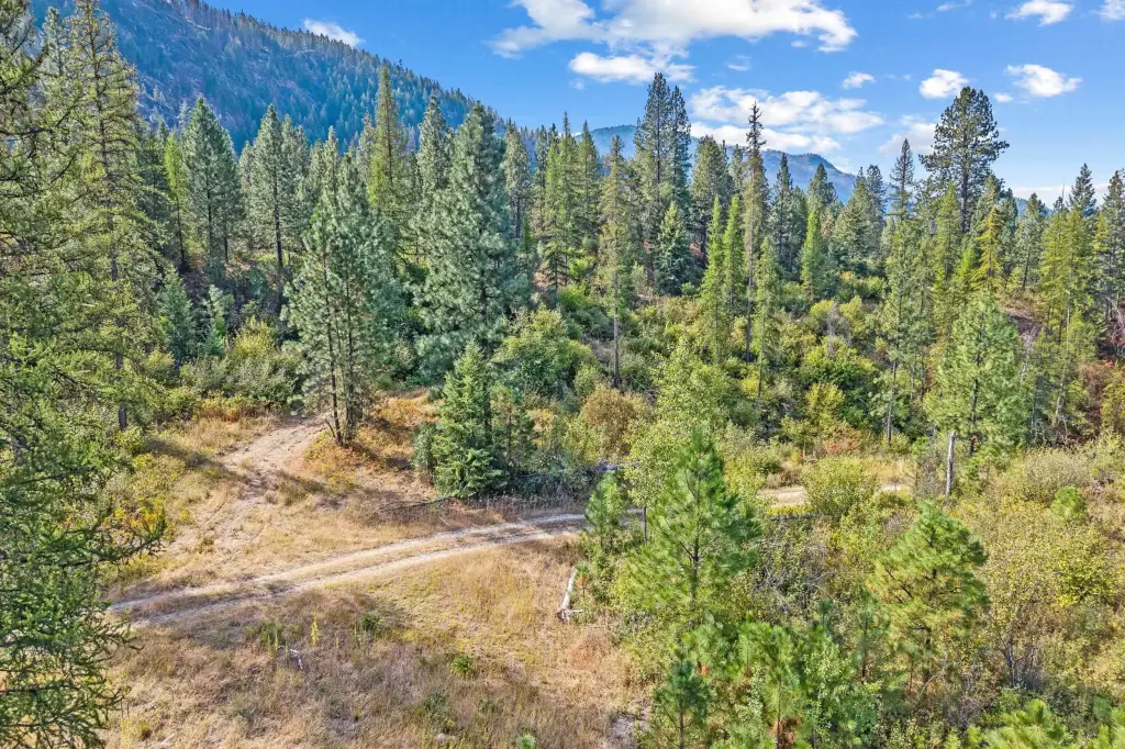
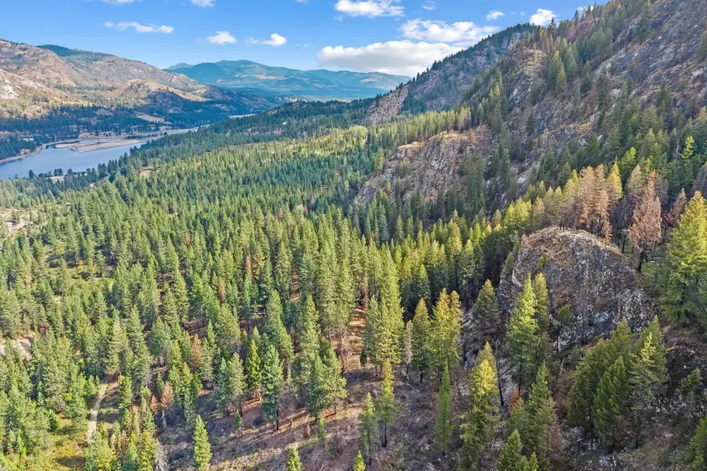
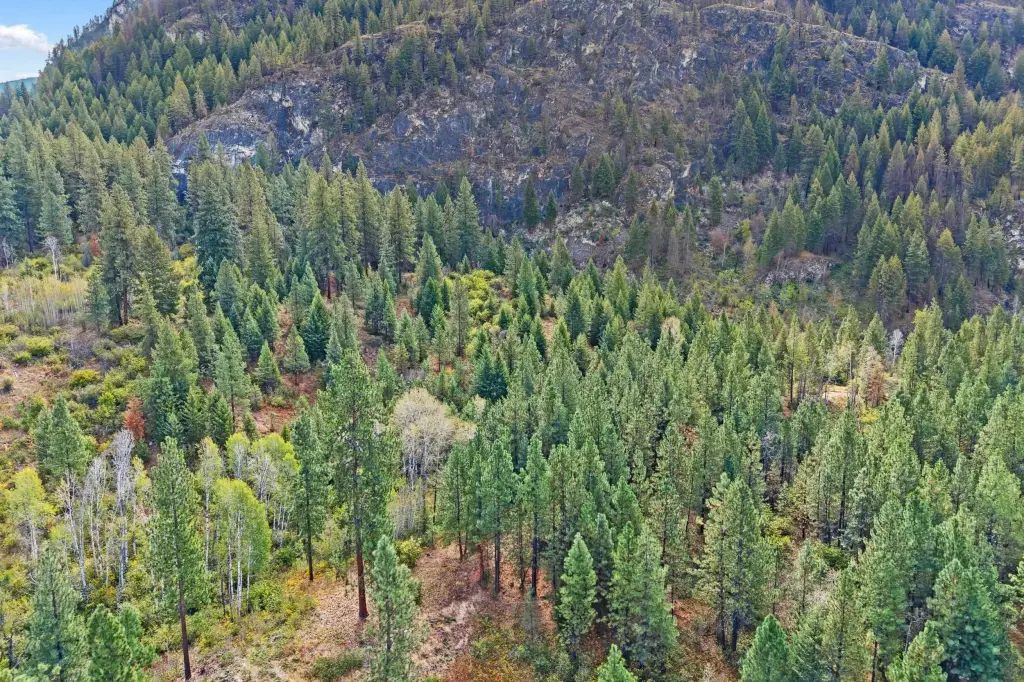
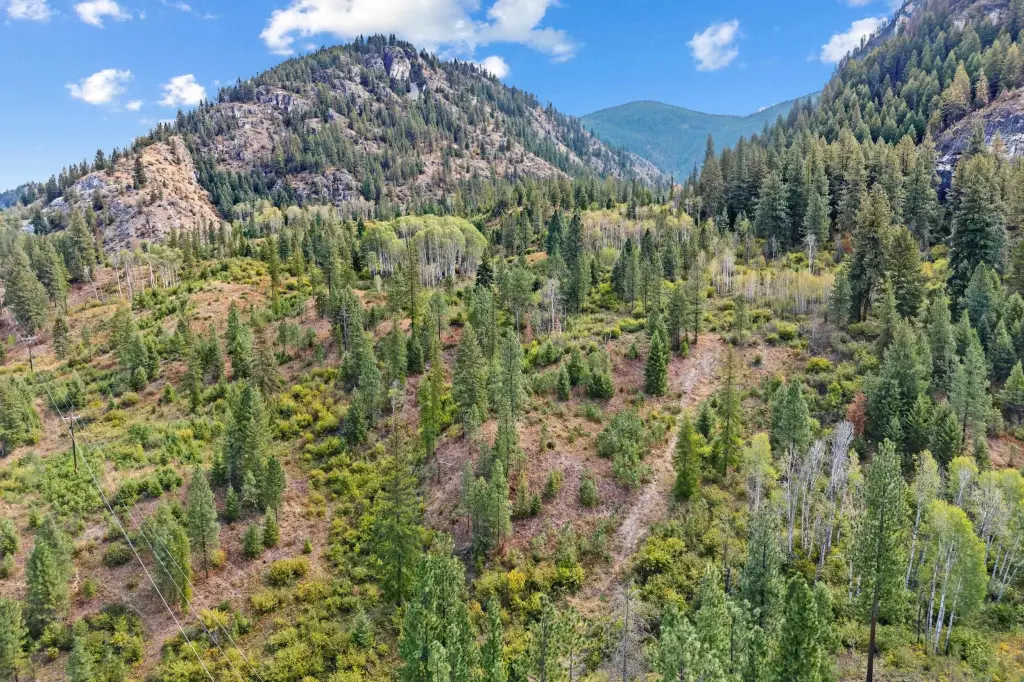
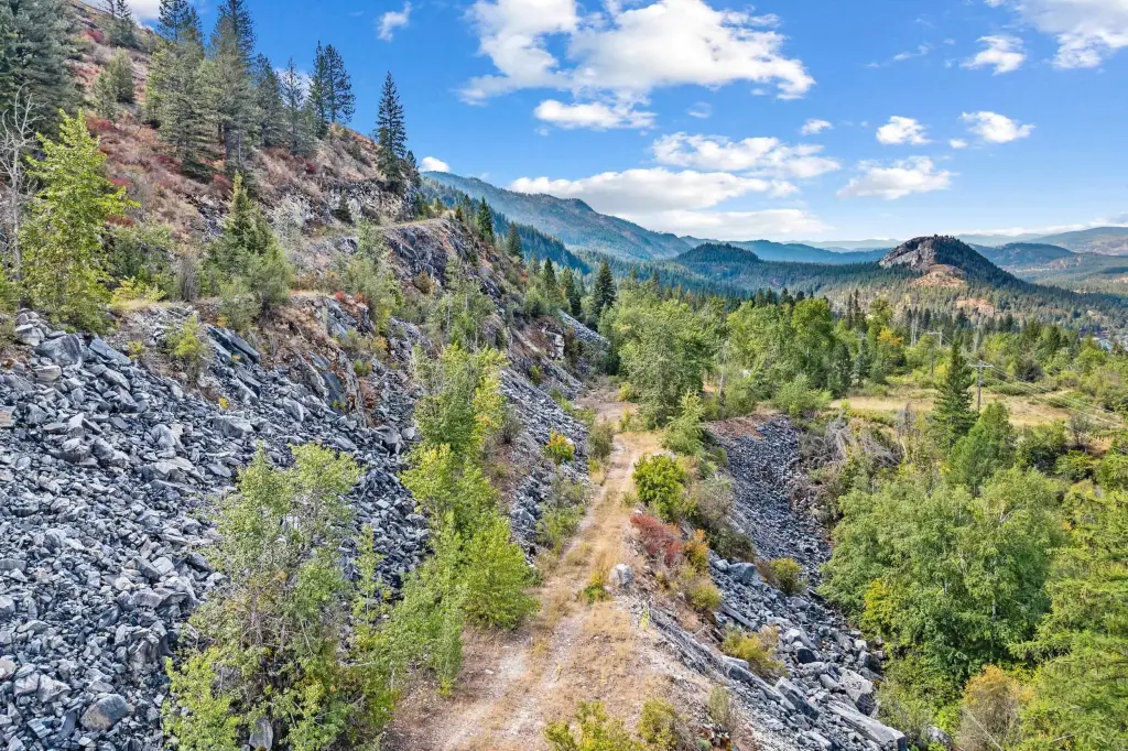
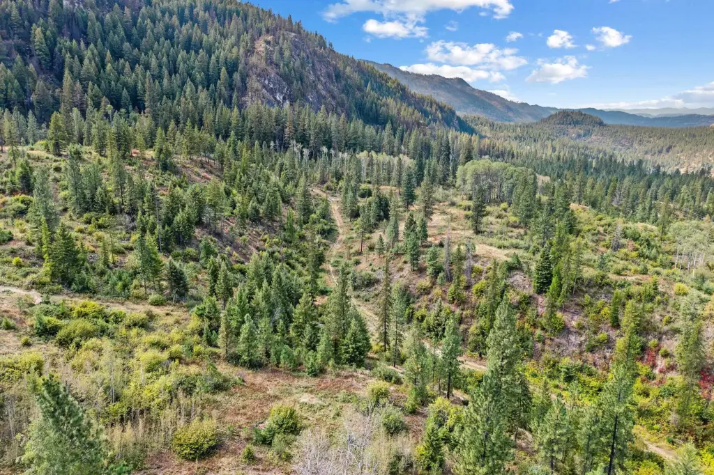
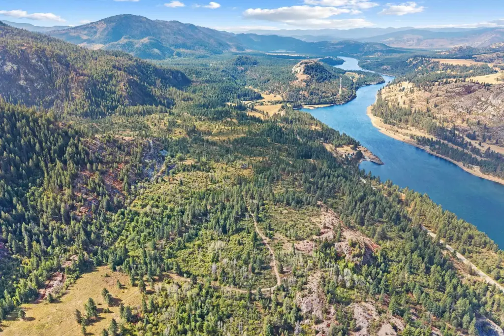
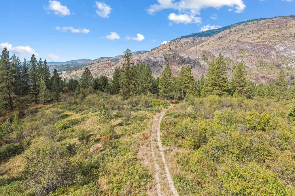
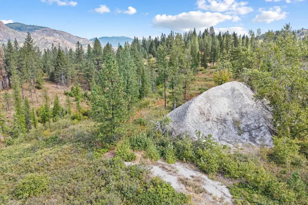
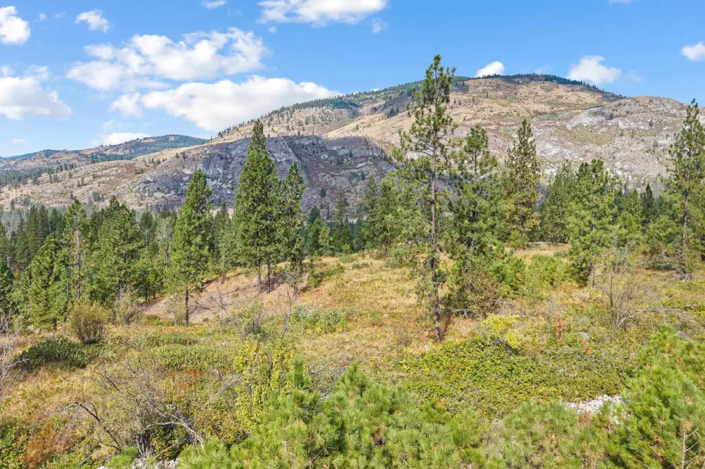
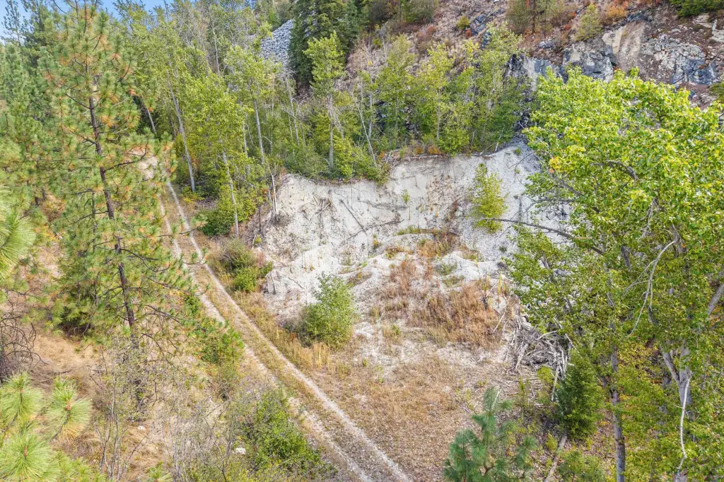
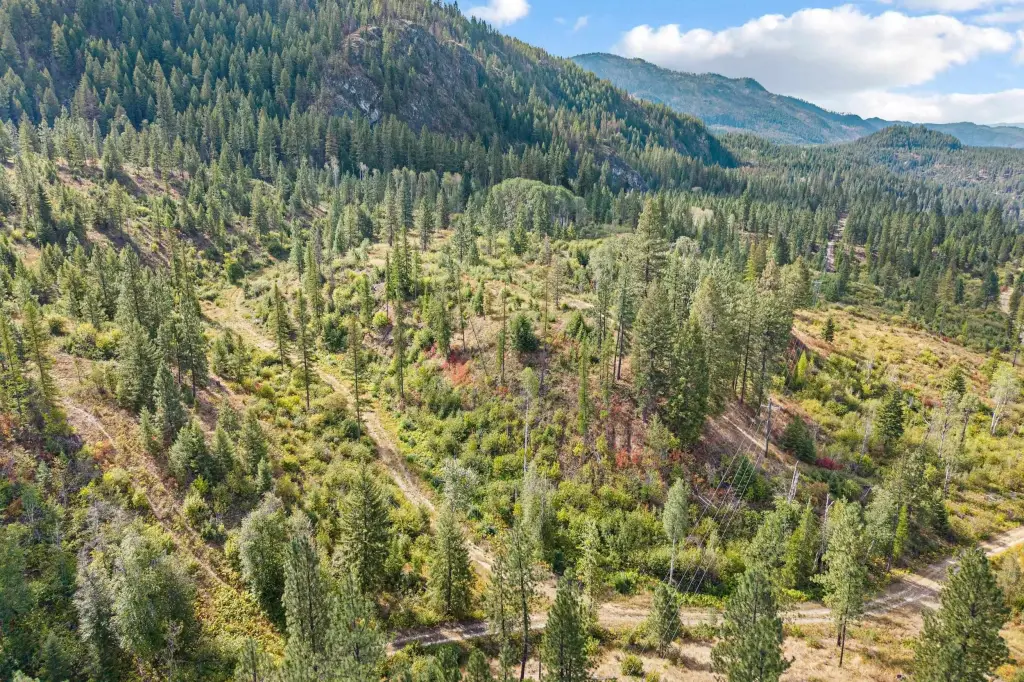
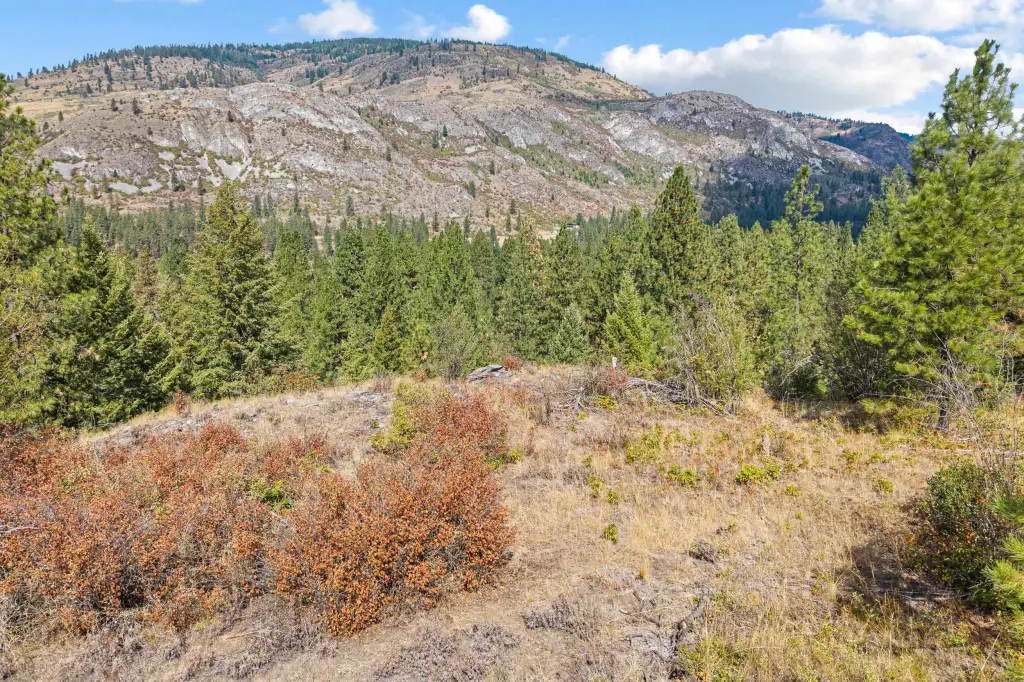
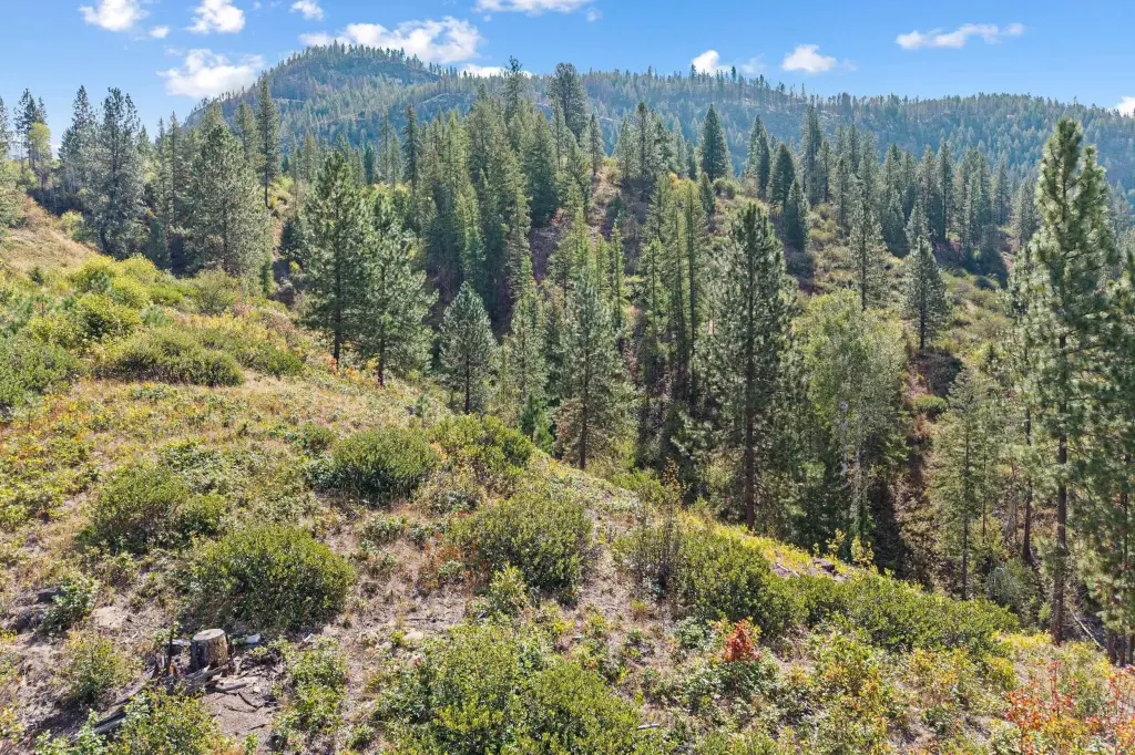
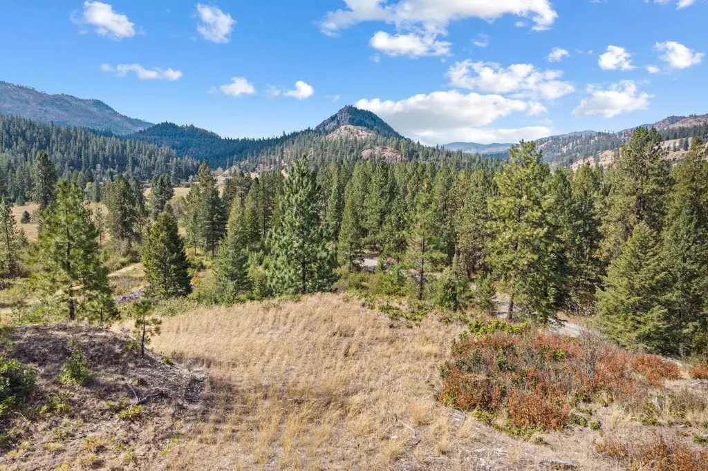
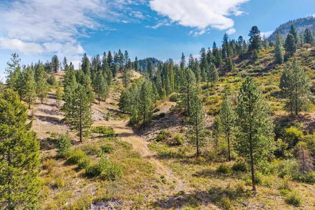
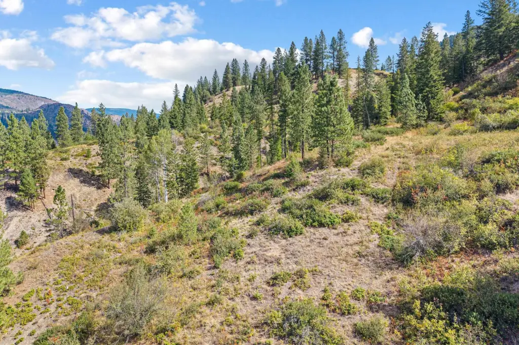
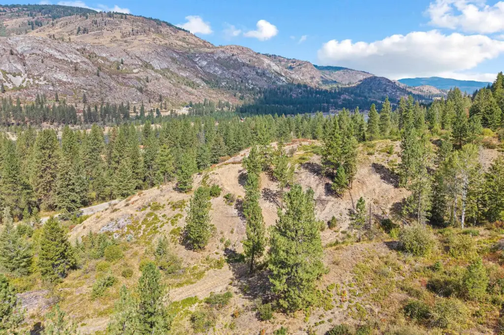
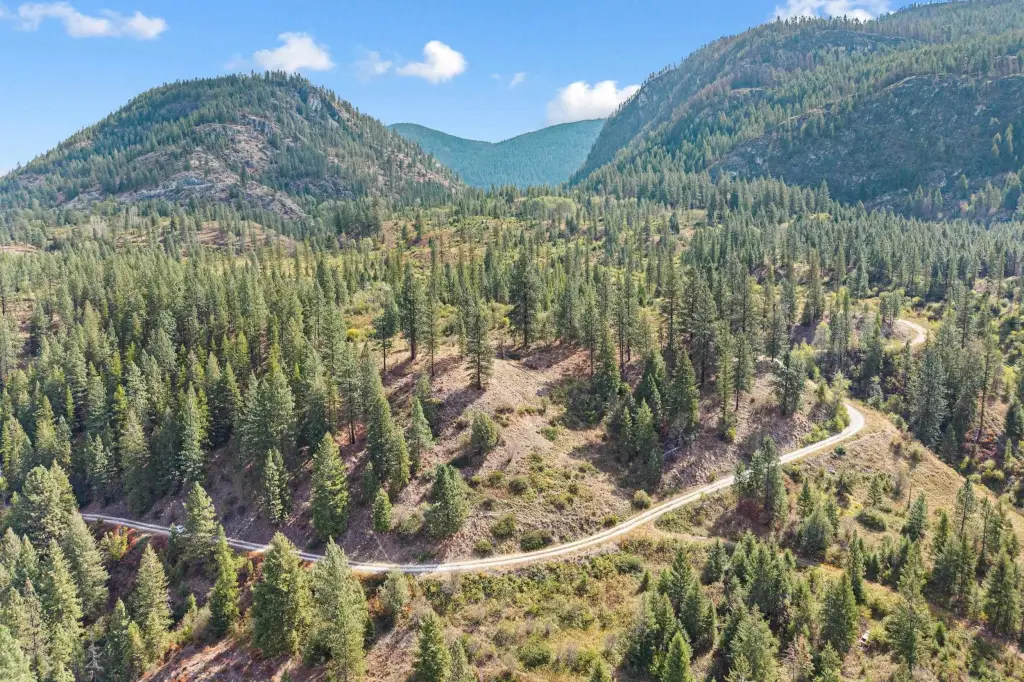
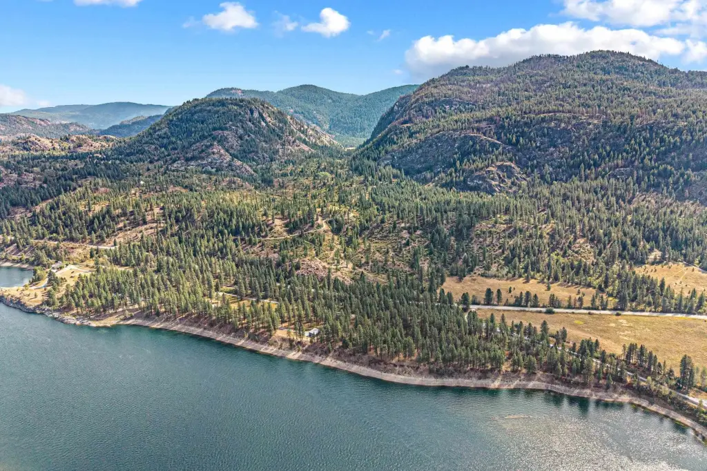
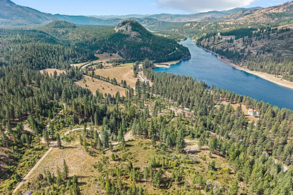
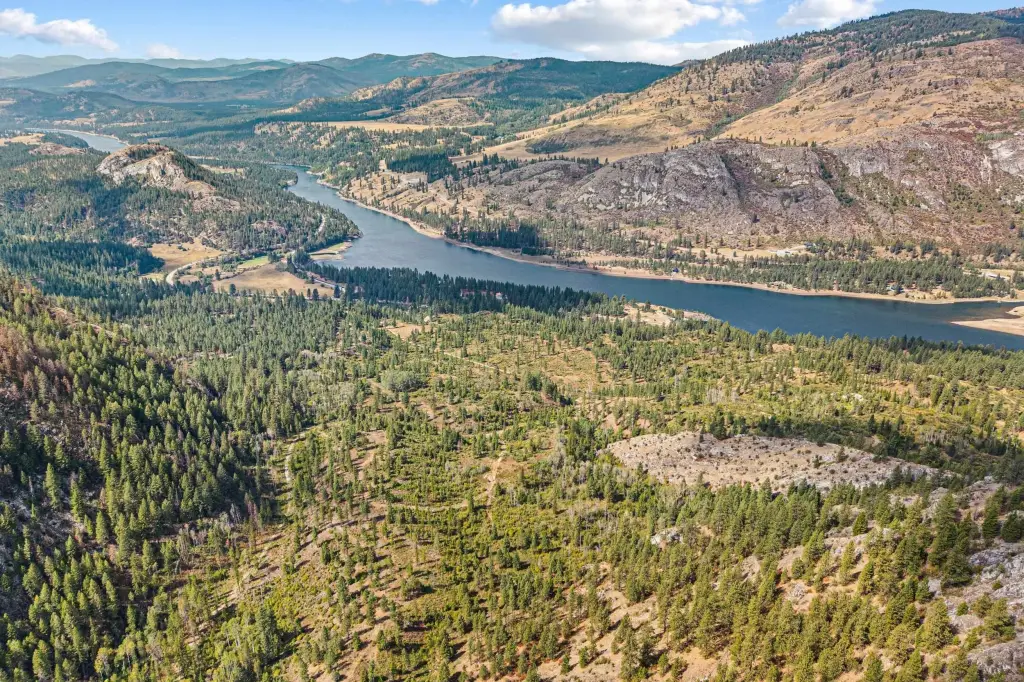
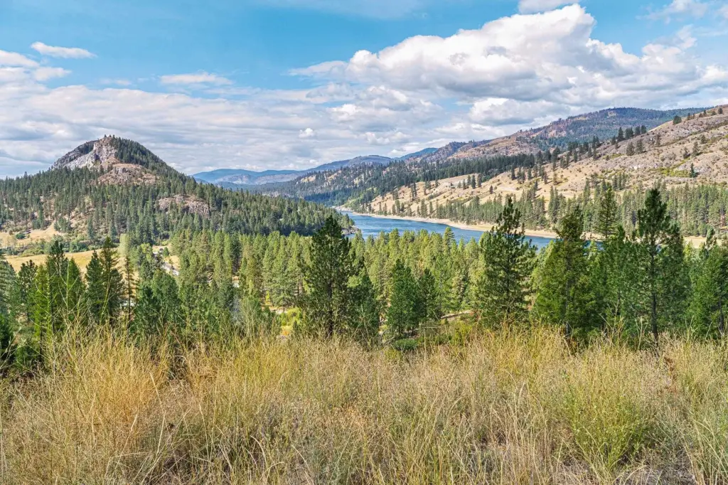
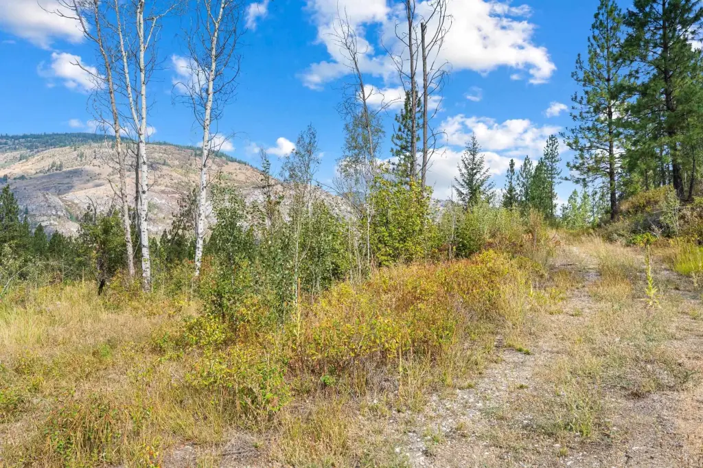
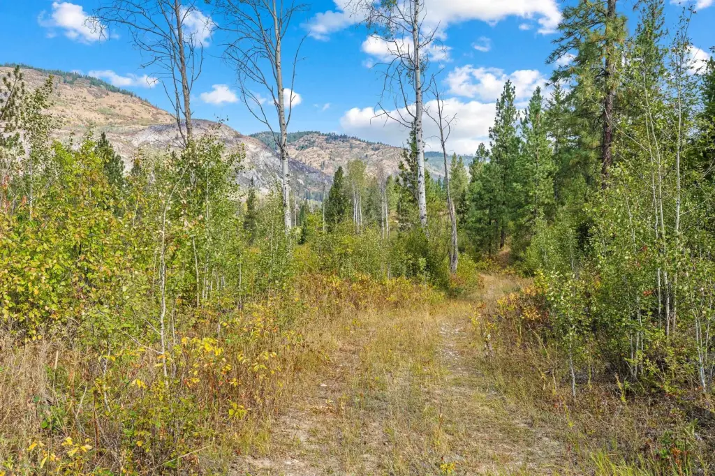
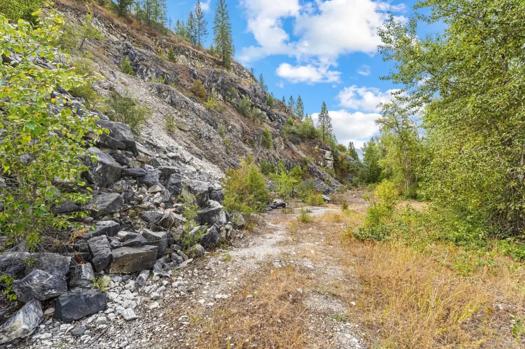
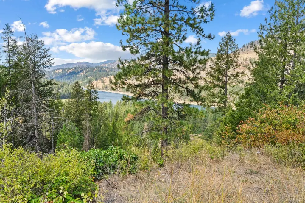
This 257-acre hunting land holding spans 16 parcels in North Stevens County, with a varied landscape of rolling hills, level pasture, timbered draws, and rocky outcroppings. Douglas fir, Ponderosa pine, and aspen create wildlife habitat, while multiple potential building sites offer territorial and Columbia River views. The property also supports ATV recreation and hunting uses.
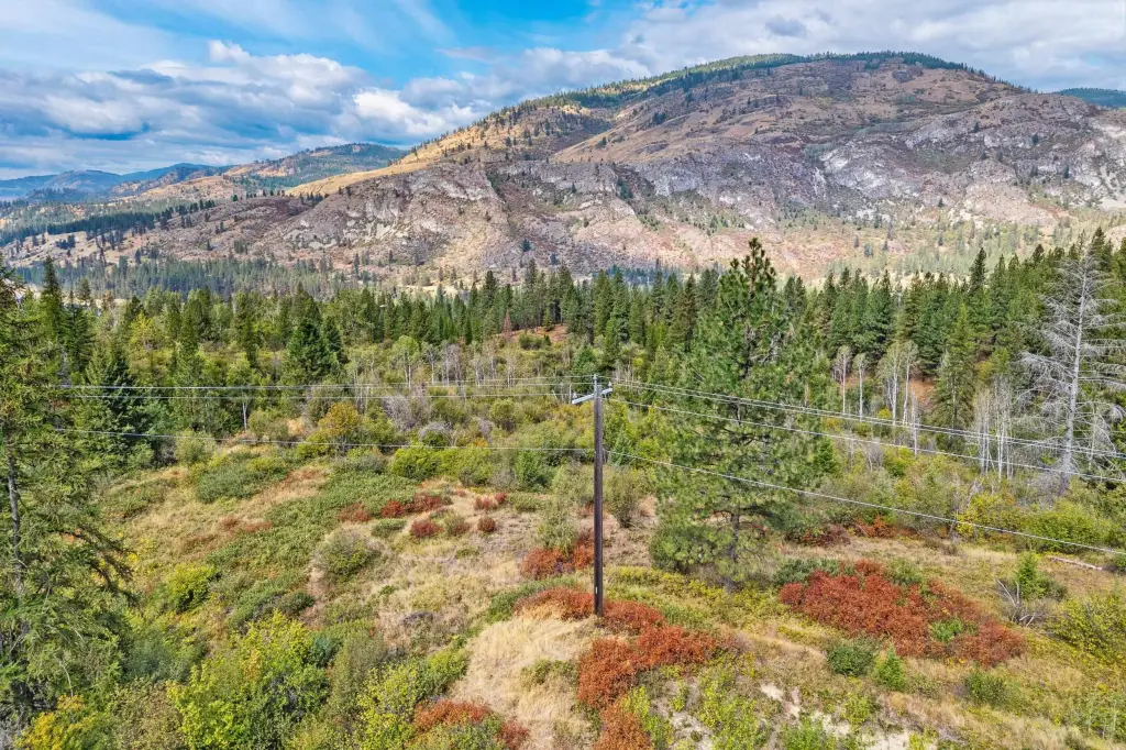
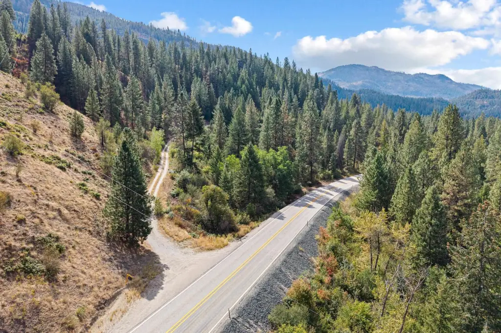
Located approximately 3 miles south of Northport along Highway 25, the acreage adjoins BLM and DNR land on its eastern and southern boundaries, providing direct access to additional public property. Power is available at the property line, and Avista infrastructure crosses portions of the land. Twelve parcels have documented water rights totaling 30 acre-feet from an existing 100-GPM well. Approximately 204 acres carry a designated forest tax classification.
Located approximately 3 miles south of Northport along Highway 25, the acreage adjoins BLM and DNR land on its eastern and southern boundaries, providing direct access to additional public property. Power is available at the property line, and Avista infrastructure crosses portions of the land. Twelve parcels have documented water rights totaling 30 acre-feet from an existing 100-GPM well. Approximately 204 acres carry a designated forest tax classification.
Key Highlights
- 257 acres across 16 parcels
- Adjoins BLM and DNR land along the eastern and southern boundaries
- Highway 25 frontage with power at the property line
Property Analytics
Current Use
Location Intelligence
Trade Area within ½ mile
Explore this area
Business Placement
Demographics for 99141, WA
5,737
Population
3,015
Households
1.9
Avg Household Size
50
Median Age
18%
College-Educated
92%
High-School Grad
628.1 sq mi
ZIP Area
9
Density / Sq Mi
$63,700
Median Household Income
$38,675
Median Earnings
$918
Median Rent
$283,000
Median Home Value

Questions? Ask Rey
Realmo’s AI knows this listing — price, zoning, demand, history. Ask anything.





Frequently Asked Questions
What type of property is this?
Hunting land - Multi-parcel recreational acreage with timber, pasture, water rights, and direct access to adjoining public lands.
Where is this hunting land located?
The property is located at Hwy 25 N Kettle Falls, WA.
What is the asking price?
The asking price for this property is $1,050,000.
What are key features of this property?
This property features: 257 acres across 16 parcels; Adjoins BLM and DNR land along the eastern and southern boundaries; Highway 25 frontage with power at the property line


