Mountain Recreation
For Sale
$185,000
Pending
High Mountain Trail lot 11, Laurel Fork, VA 24352
Land, Laurel Fork, VA
Property SizeContact for details
Lot Size31.92 Acres
Days on Market102
Property Features for High Mountain Trail lot 11
General Information
Property type
Land
Property subtype
Other
Lot features
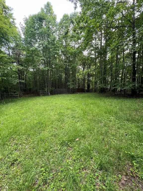
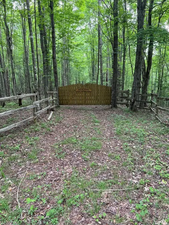
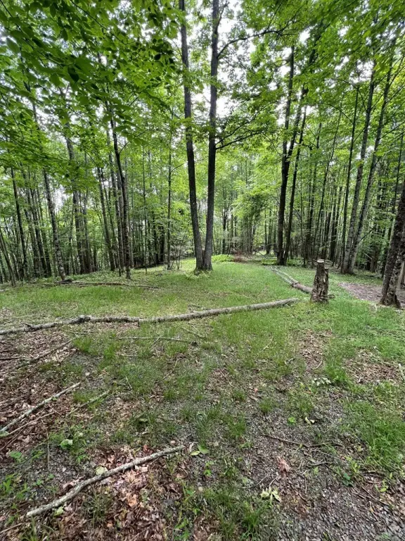
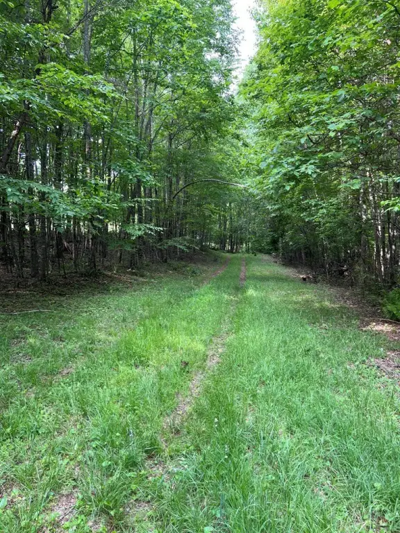
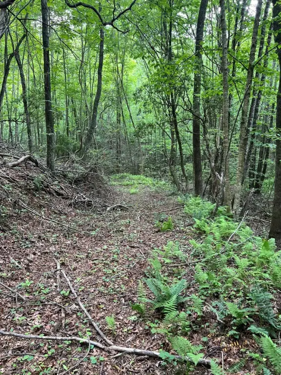
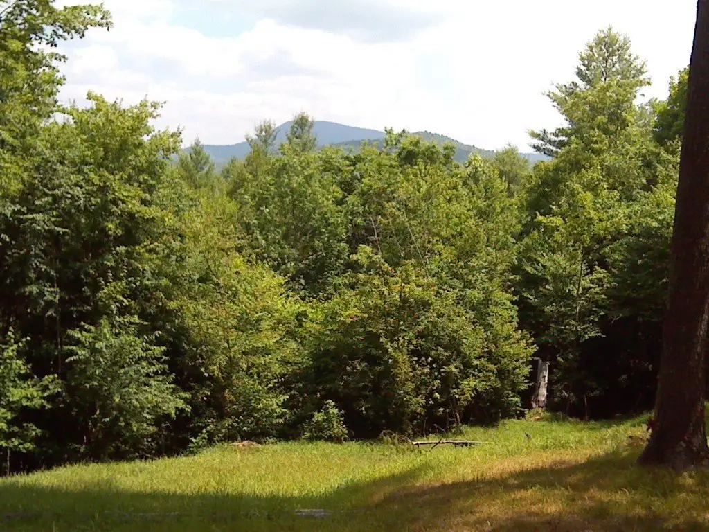
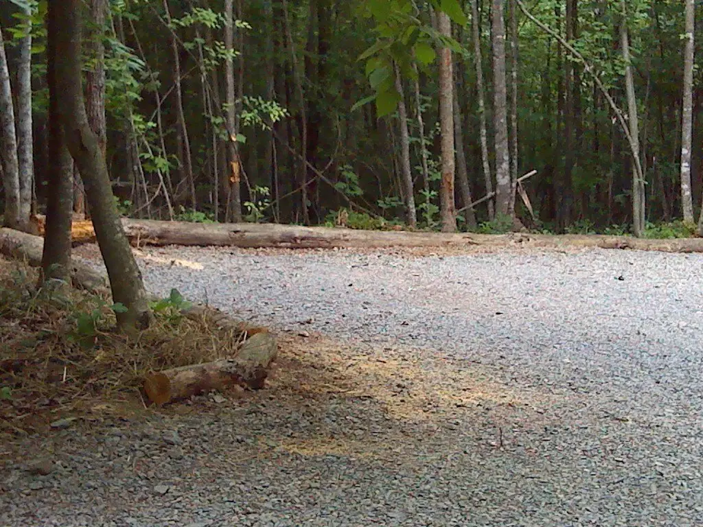
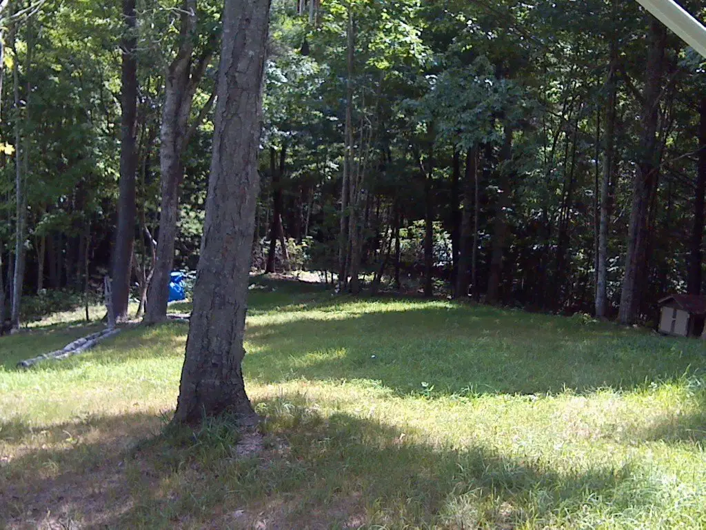
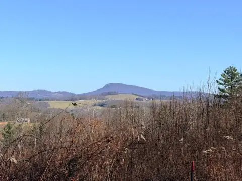
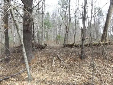
Secluded, Views, Wooded
Elementary school
Carroll County
Middle school
Carroll County Intermediate
High school
Carroll County
Directions
From the intersection of I-77 and US-58 in Hillsville, travel East for 1.4 miles. Take the exit ramp to US-52 Martinsville/Danville. Go 15 miles and turn left onto Dugspur Rd. Go 1.9 miles and turn right onto Hylton Rd. Travel 1.9 miles and turn right onto High Mountain Trail. Continue 0.6 miles to property
Subdivision
Laurel Fork
Standard status
Pending
Lot size
31.92 Acres
Taxes and HOA fees
Tax Year
2025
Tax Annual Amount
571
Utilities
Utilities
Electricity Available
Water source
Well
Water front features
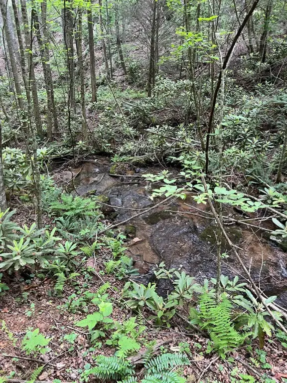
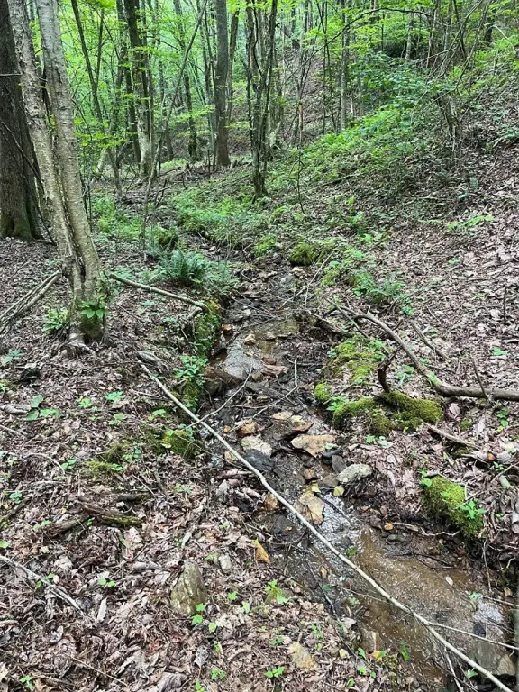
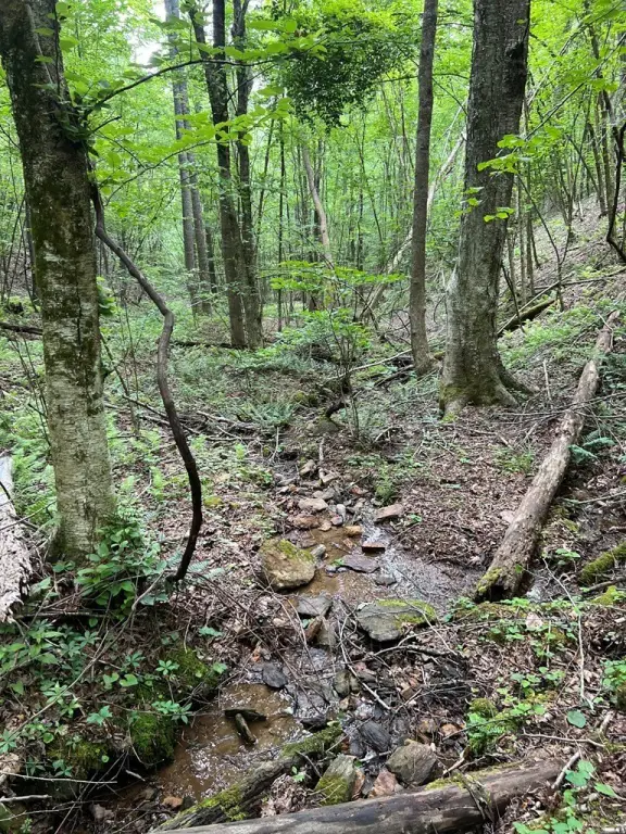
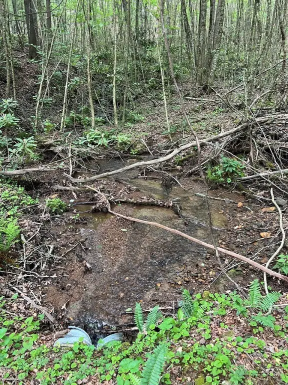
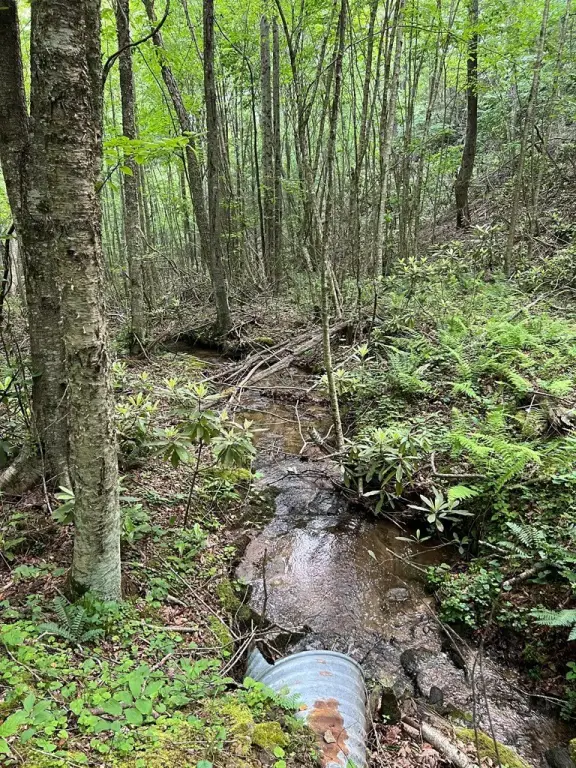
Creek, Stream
Water front
1
Building Details
Additional Structures
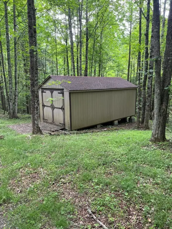
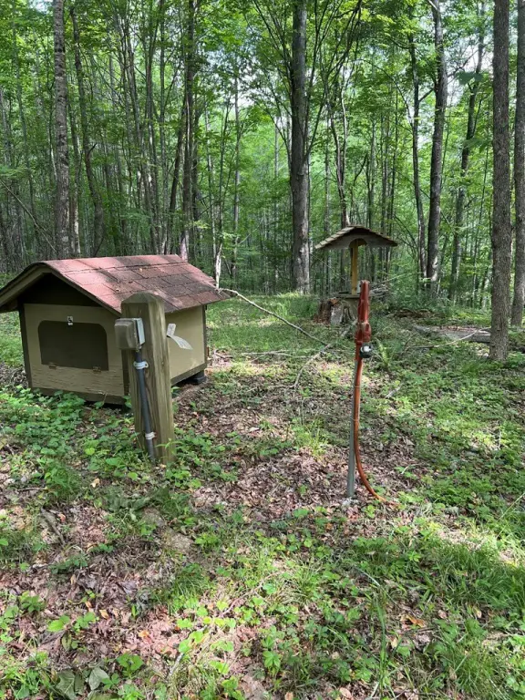
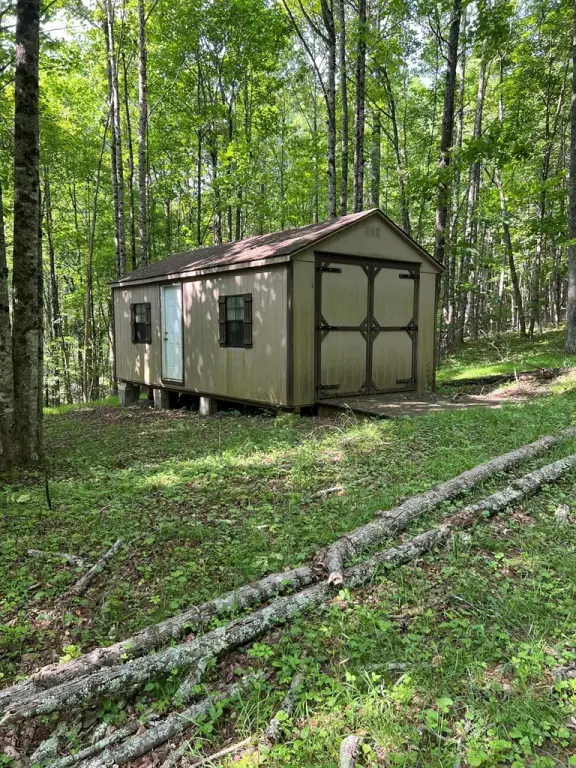
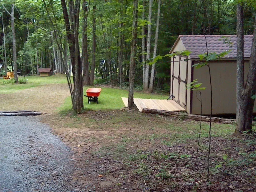
Outbuilding
Listing Agency:
Kyle Realty, Inc.
(276) 236-6134
Listed By:
Neil Frost
(276) 237-6337
Added: Jun 9
Changed: Sep 13
Last Checked: Sep 18 at 3:06PM
MLS# 110304
Copyright © 2026 Southwest Virginia Association of Realtors. All rights reserved. All information provided by the listing agent/broker is deemed reliable but is not guaranteed and should be independently verified.
Investment Insights
Based on property information with market context.
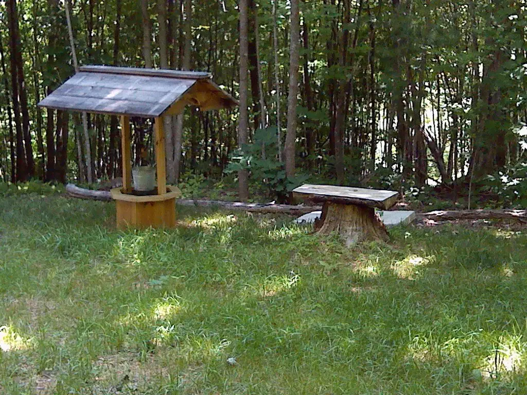
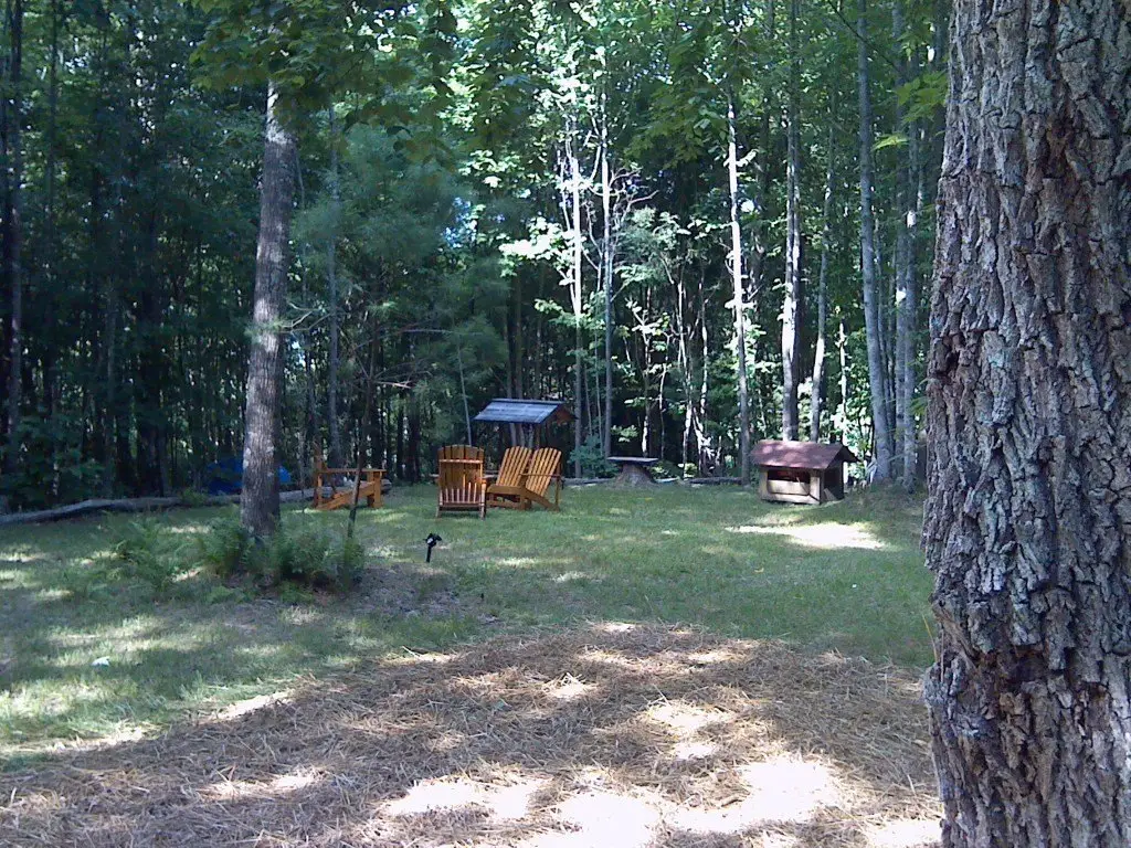
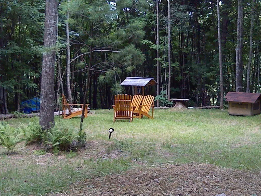
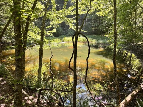
This 31.9157-acre recreation property offers a wooded mountain setting with scenic views, a spring-fed water source, natural waterfalls, and stream and creek features. An existing 12x20 outbuilding provides on-site utility for storage or workshop use, while the installed well supports the property’s water supply. Electricity is available, adding infrastructure for future plans.
Located on High Mountain Trail in Laurel Fork, the property is close to the Blue Ridge Parkway and includes abundant wildlife habitat. The land is suited to the recreational uses identified for the site, including hiking, hunting, and camping, with space for a private retreat or future homestead.
Located on High Mountain Trail in Laurel Fork, the property is close to the Blue Ridge Parkway and includes abundant wildlife habitat. The land is suited to the recreational uses identified for the site, including hiking, hunting, and camping, with space for a private retreat or future homestead.
Key Highlights
- 31.9157 acres of mountain recreation land in Laurel Fork, VA
- Spring‑fed water source with natural waterfalls
- Stream and creek features on the property
Property Analytics
Current Use
Location Intelligence
Trade Area within ½ mile
2
Businesses Nearby
Explore this area
Business Placement
Demographics for 24352, VA
929
Population
752
Households
1.2
Avg Household Size
54
Median Age
21%
College-Educated
87%
High-School Grad
29.6 sq mi
ZIP Area
31
Density / Sq Mi
$47,750
Median Household Income
$31,516
Median Earnings
$443
Median Rent
$158,100
Median Home Value

Questions? Ask Rey
Realmo’s AI knows this listing — price, zoning, demand, history. Ask anything.





Frequently Asked Questions
What type of property is this?
Recreation land - Mountain acreage includes a well, stream features, and an existing outbuilding.
Where is this recreation land located?
The property is located at High Mountain Trail lot 11 Laurel Fork, VA.
What is the asking price?
The asking price for this property is $185,000.
What are key features of this property?
This property features: 31.9157 acres of mountain recreation land in Laurel Fork, VA; Spring‑fed water source with natural waterfalls; Stream and creek features on the property