Land Parcel with Interstate
Harmony Heights Lane Rapid City, SD 57702
For Sale
$600,000
LAND - Rapid City, SD
Lot Size7.47 Acres
Days on Market357
Property Features for Harmony Heights Lane
General Information
Property type
Land
Property subtype
Other
Standard status
Active
Lot size
7.47 Acres
Listing Agency:
Keller Williams Realty Black Hills RC
(605) 343-7500
Listed By:
Will Dixon
(605) 390-1140
Added: Aug 5, 2025
Changed: Jun 30
Last Checked: Jul 27 at 12:06PM
MLS# 85570
Copyright © 2026 Mt. Rushmore Area Association of Realtors. All rights reserved. All information provided by the listing agent/broker is deemed reliable but is not guaranteed and should be independently verified.
Investment Insights
Based on property information with market context.
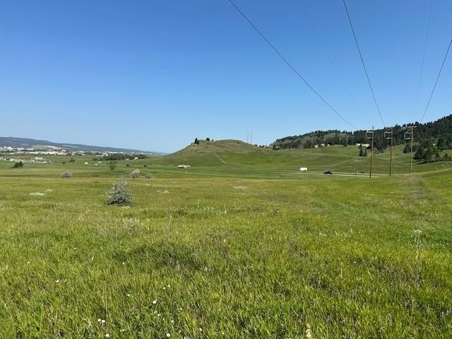
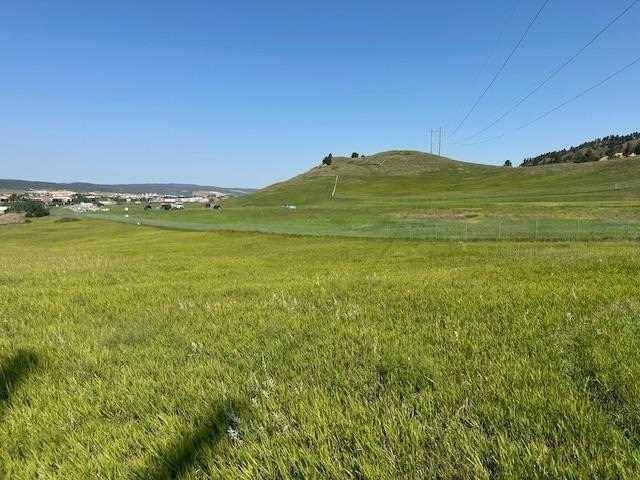
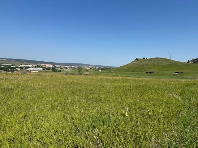
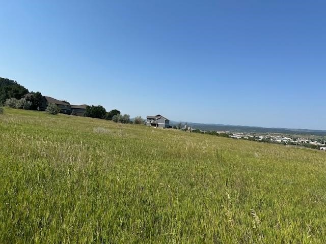
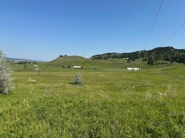
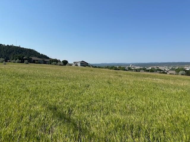
This offering is a 7.47-acre land parcel in Rapid City, South Dakota, presented for development of apartment and/or townhome building sites. Public remarks indicate the property is currently shown as zoned general ag on the city’s zoning maps, with additional consideration from the city’s future land use planning for urban neighborhood development.
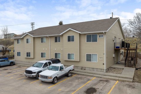
The parcel is described as having great Interstate exposure and is located across the street from Harmony Heights Apartments, with the location bordering the interstate. According to the future land use plan referenced in the remarks, the land is contemplated for medium density or high-density residential zoning, and the city “may also consider” light industrial or commercial zoning.
For developers, builders, and buyers seeking a larger tract with exposure and an indicated path from future land use planning toward residential development, this site may be worth evaluating. Interested parties should review the applicable zoning and planning details with the City of Rapid City, including any pathways to residential density or alternative light industrial/commercial uses that may be considered.
Key Highlights
- 7.47 acres suitable for medium or high‑density residential development (townhomes or apartments).
- City's future land use plan designates the land for urban neighborhood development.
- Potential for light industrial/commercial zoning consideration by the city.
Property Analytics
Property Profile
Location Intelligence
Current Use


Frequently Asked Questions
What type of property is this?
Residential land & home lot - 7.47-acre parcel opposite Harmony Heights Apartments, positioned for potential medium- to high-density residential development.
Where is this residential land & home lot located?
The property is located at Harmony Heights Lane Rapid City, SD.
What is the asking price?
The asking price for this property is $600,000.
What are key features of this property?
This property features: 7.47 acres suitable for medium or high‑density residential development (townhomes or apartments).; City's future land use plan designates the land for urban neighborhood development.; Potential for light industrial/commercial zoning consideration by the city.