FLYING L RANCH ROAD lot 1, Talladega, AL 35160
- Added:
- Jan 22, 2026
- Days on Market:
- 157
- Last Refresh:
- Jun 28 at 3:06 pm
Property Features for FLYING L RANCH ROAD lot 1
General Information
- Property type
- Land
- Property subtype
- Other
- Zoning
- Agricultural, Residential
- Standard status
- Active
- APN
- 1309300000001000
- Lot size
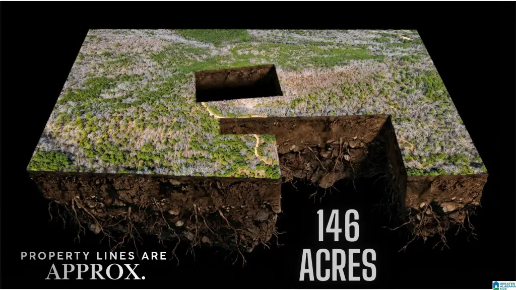
- 146.00 Acres
Taxes and HOA fees
- Tax Description
- 68 AC(C) BEG NE COR S30 T18S R5E. TH W 1160'(S) SELY 460'(S) SWLY 660'(S) NLY 560'(S) W 920'(S) S 1345'(S) E 1460'(S) NWLY 50'(S) N 389.59'. WLY 265.89' NLY 328.3' E 870'(S) S 725'(S) E 710'(S) N 1380'(S) TO POB.
Utilities
- Utilities
- Cable Available
Listing agent Julie Watson (205) 677-8660
Listing office EXIT Realty - Cheaha 1720 Hamric Dr E, Oxford, AL (256) 770-8001
Listing date Jan 22, 2026
Copyright © 2026 Greater Alabama MLS. All rights reserved. All information provided by the listing agent/broker is deemed reliable but is not guaranteed and should be independently verified.
HighLights
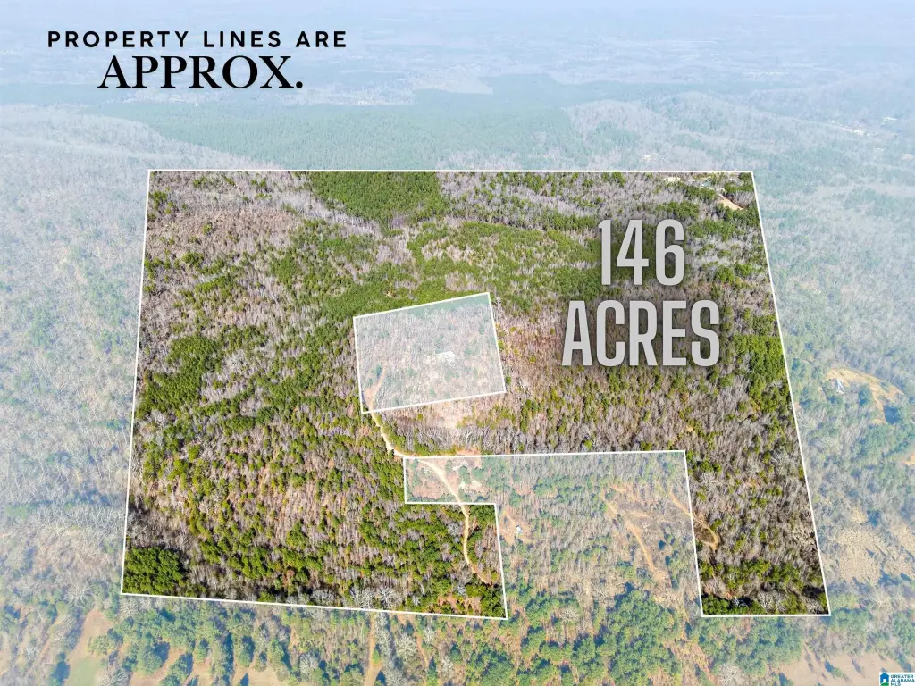
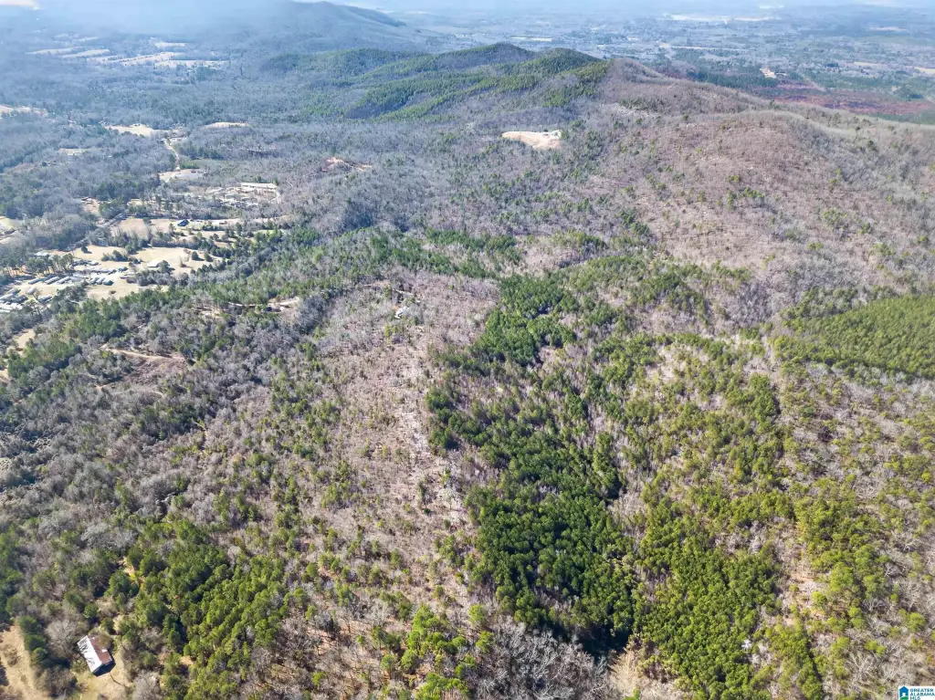
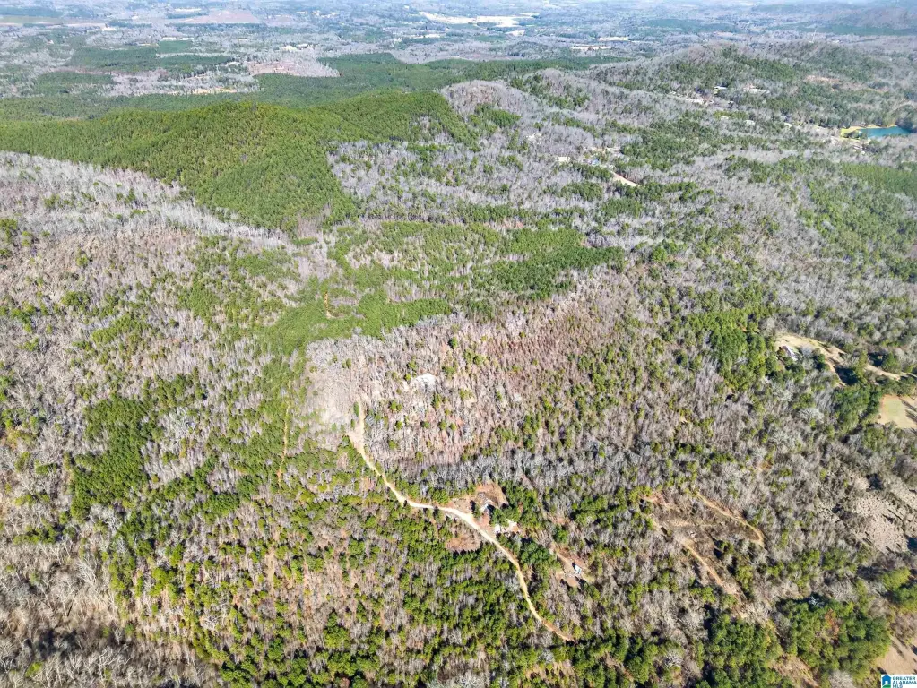
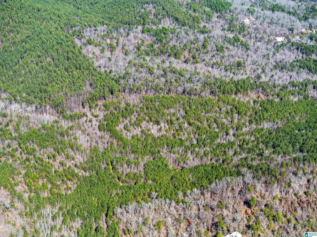
- Two parcels totaling 146 acres included in the sale (no houses included).
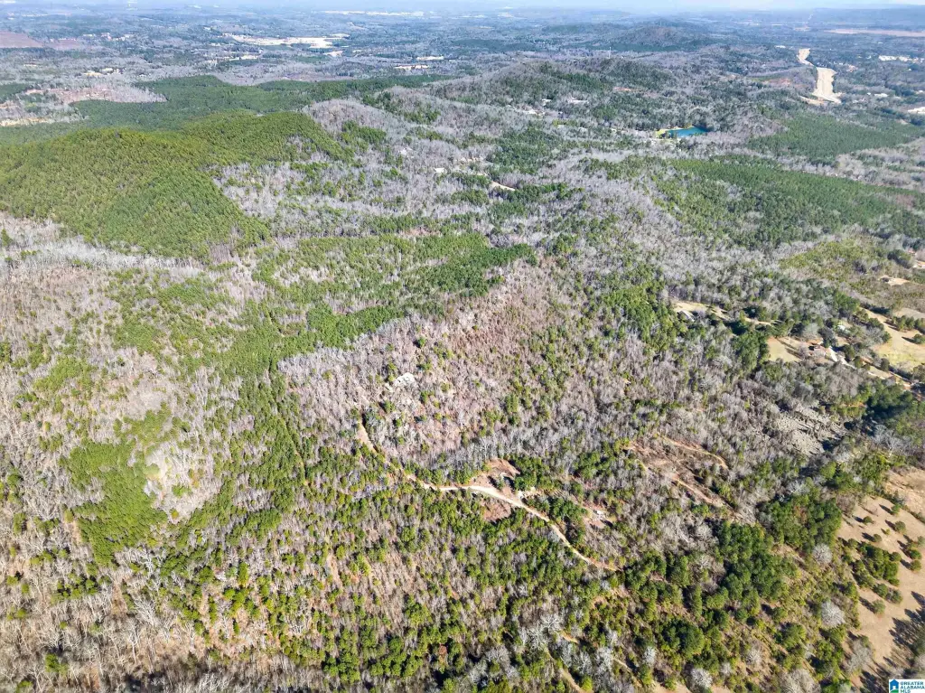
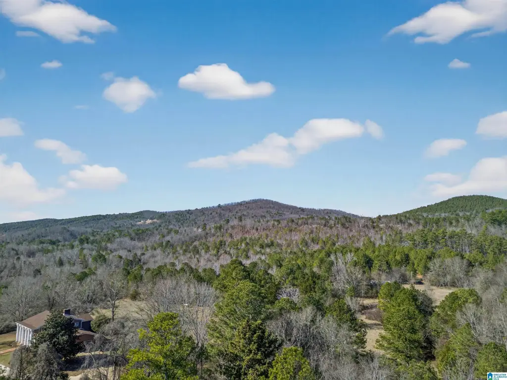
- Heavily treed acreage with potential homesite space near the front of the property.
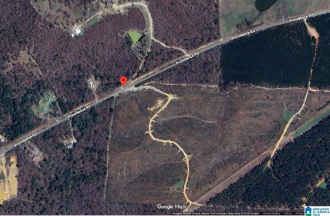
- Front parcel has direct access from Flying L Ranch Rd.
- Parcel 2 legal description: 78 AC(C) S1/2 SE1/4 S19 T18S R5E (Parcel no. 13‑04‑19‑0‑000‑003.000).
- Cable available; buyers are to verify zoning and use.
- No survey currently available.
Overview
The property is zoned Agricultural, Residential, and buyers are responsible for verifying zoning and intended use. The front parcel has direct access from Flying L Ranch Rd. No houses are included with the land. The legal description is provided for the 2nd parcel, with parcel number 13-04-19-0-000-003.000 listed in the remarks.
For buyers looking for acreage to hold, develop, or run as a working tract, this combination of wooded land and potential homesite areas near the front may fit a range of plans. As access exists for the front parcel, due diligence on survey needs and permissible uses under the Agricultural, Residential zoning is recommended prior to moving forward.
Current Use by Public Records
Map
- City
- Talladega
- County
- Talladega
- State
- Alabama
- Longitude
- -86.1136
- Latitude
- 33.4181