Vacant Development Land with Multifamily
ESTERBROOK Road Fond du Lac, WI 54937
ESTERBROOK Road, Fond du Lac, WI, 54937
$912,000
For Sale
$912,000
LAND - FOND DU LAC, WI
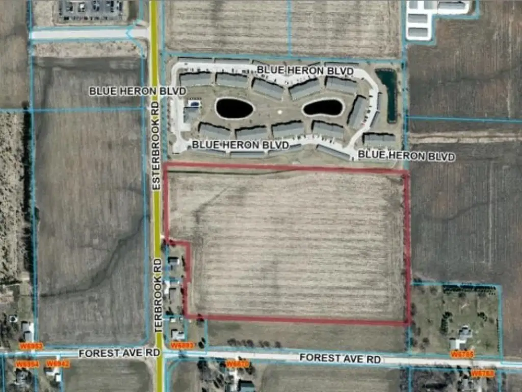
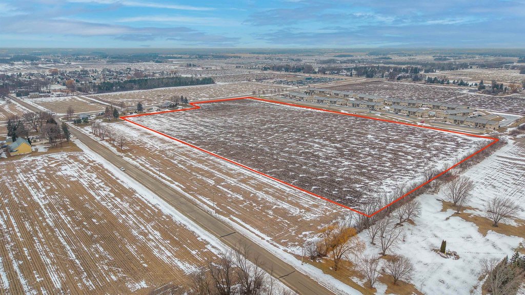
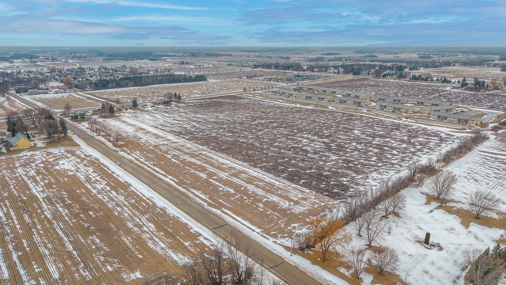
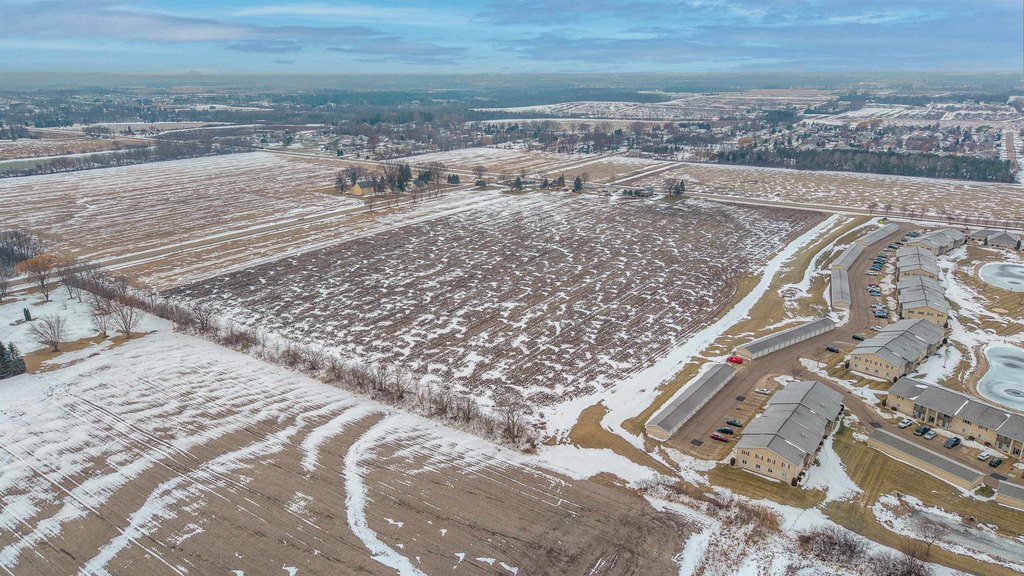
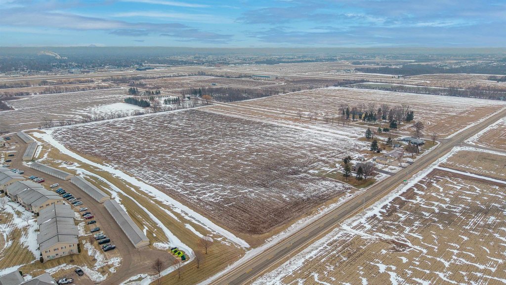
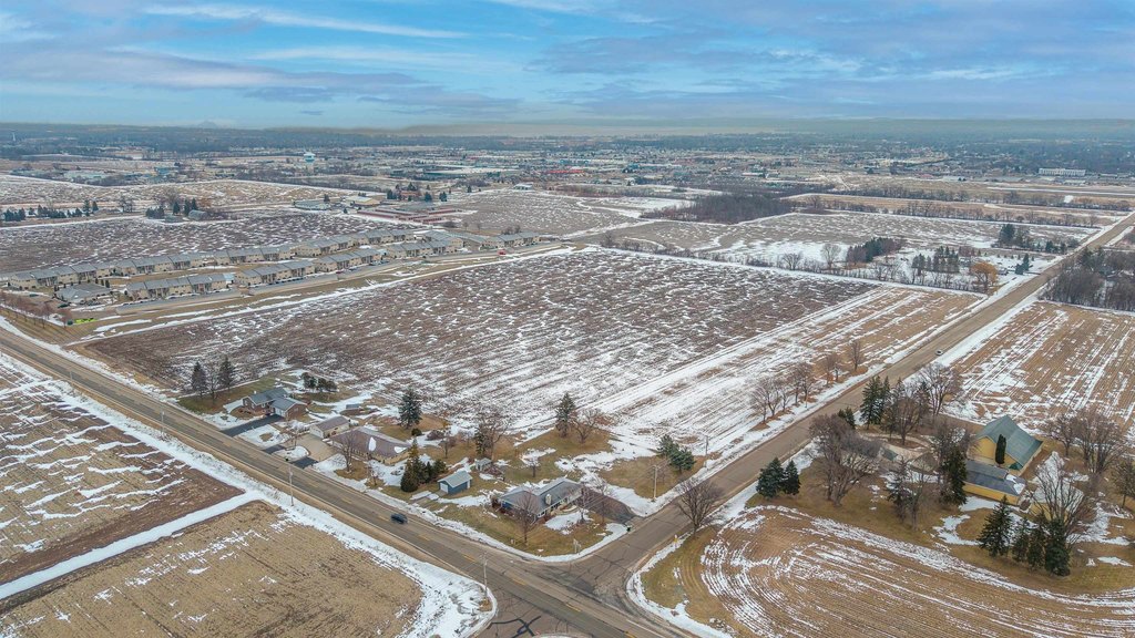
Lot Size24.06 Acres
Days on Market211
Property Features for ESTERBROOK Road
General Information
- Property type
- Land
- Property subtype
- Other
- Zoning
- Residential
- Standard status
- Active
- APN
- T091517081100700
- Lot size
- 24.06 Acres
Taxes and HOA fees
- Tax Year
- 2025
- Tax Annual Amount
- 112
Utilities
- Utilities
- Natural Gas Available
- Sewer type
- Public Sewer
- Water source
- Public
Listing Agency
Adashun Jones, Inc.
(920) 923-4433
1028 S Main St, Fond du Lac, WI
Listed by
Frank Adashun · License #90-8264
(920) 923-4433
Added: Dec 22, 2025 Updated: Jul 20 at 11:07 pm Checked: Jul 21 at 2:06 am
MLS# 50319403
Listing URL
Copyright © 2026 Realtor Association of Northeast Wisconsin. All rights reserved. All information provided by the listing agent/broker is deemed reliable but is not guaranteed and should be independently verified.
Investment Insights
Based on property information with market context.
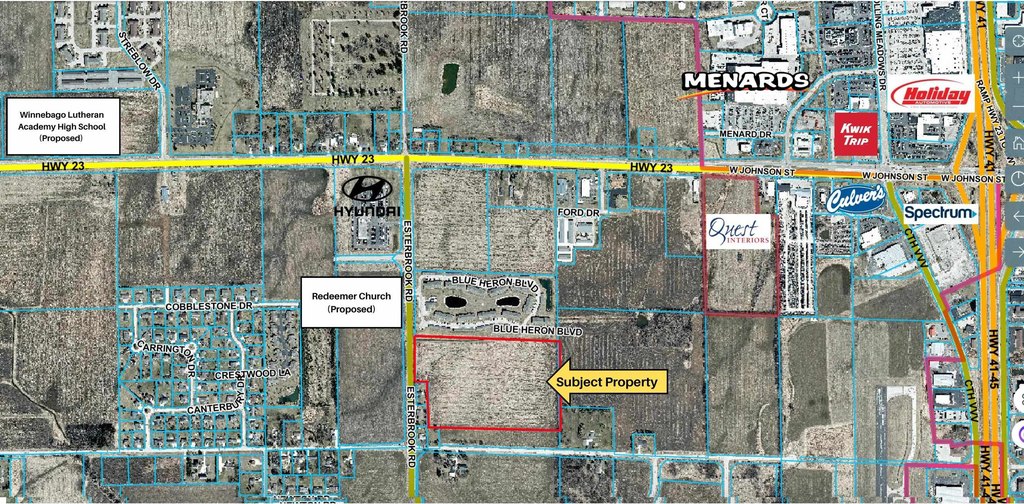
This vacant land parcel is offered as a development opportunity within a residential zoning framework. The site has the potential to support a substantial multifamily project, subject to Special Use Permit approval. Utility connections are not onsite and would be subject to availability.
The property’s positioning is designed for convenience and connectivity, with access to major transportation corridors. It sits within 1 mile of the intersection of US Hwy 41 and Wisconsin Hwy 23, supporting straightforward commutes and access to regional amenities. The surrounding plans for a nearby school and church also suggest ongoing municipal and community investment.
For developers and investors, the appeal is the combination of raw land and attainable upside through the Special Use Permit process. The site can fit teams looking to advance a multifamily concept in a growth-oriented area, while planning for offsite utility coordination from the outset. Given the stated pending approvals and utility contingencies, this offering is best suited for buyers prepared for an entitlement- and utilities-driven development timeline.
Key Highlights
- Potential for substantial multifamily development (pending Special Use Permit).
- Strategically positioned vacant land parcel.
- Prime location within 1 mile of US Hwy 41 and Wisconsin Hwy 23 intersection.
Property Analytics
Property Profile
Location Intelligence
Current Use by Public Records
Residential land & home ...
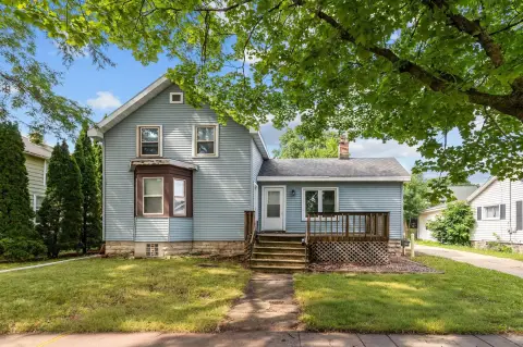
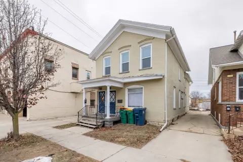
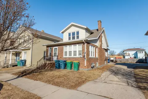
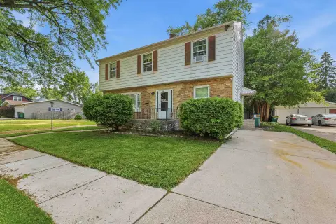
Similar For Sale Nearby


FAQs
What type of property is this?
Land - Vacant residential-zoned land positioned for multifamily development, pending Special Use Permit approval and utility availability.
Where is this land located?
The property is located at ESTERBROOK Road Fond du Lac, WI.
What is the asking price?
The asking price for this property is $912,000.
What are key features of this property?
This property features: Potential for substantial multifamily development (pending Special Use Permit).; Strategically positioned vacant land parcel.; Prime location within 1 mile of US Hwy 41 and Wisconsin Hwy 23 intersection.


