ESSLINGER & LOW GAP, Gatlinburg, TN 37738
- Added:
- Jun 9, 2026
- Days on Market:
- 10
- Last Refresh:
- Jun 18 at 4:06 pm
Property Features for ESSLINGER & LOW GAP
General Information
- Property type
- Land
- Property subtype
- Other
- Zoning
- C2
- Standard status
- Active
- APN
- 021.00
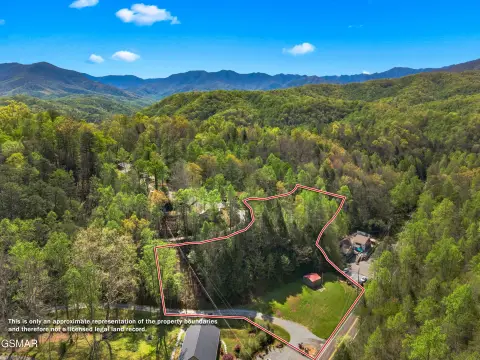
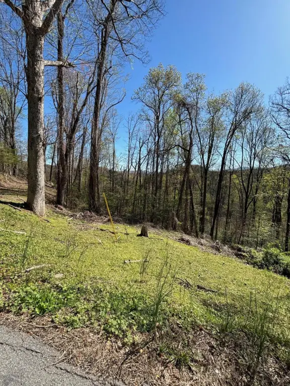
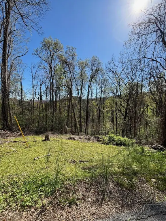
- Lot size
- 14.00 Acres
Taxes and HOA fees
- Tax Year
- 2025
- Tax Annual Amount
- 2602
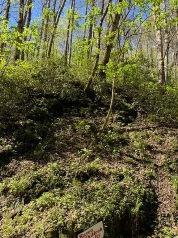
Listing agent Karen Whitlock (865) 774-4848
Listing office Karen Whitlock Realty 241 W Main Street, Sevierville, TN (865) 774-4848
Listing date Jun 9, 2026
Copyright © 2026 Great Smoky Mountains Association of Realtors. All rights reserved. All information provided by the listing agent/broker is deemed reliable but is not guaranteed and should be independently verified.
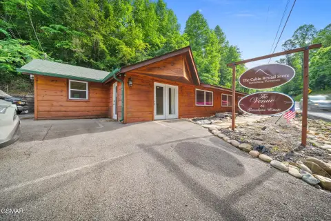
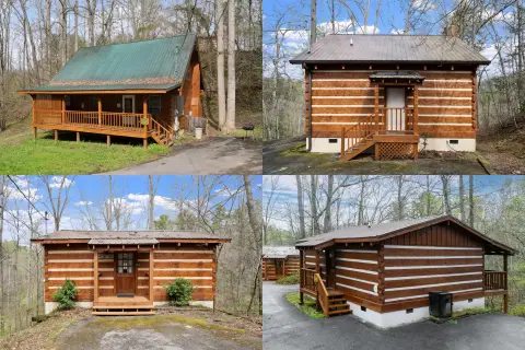
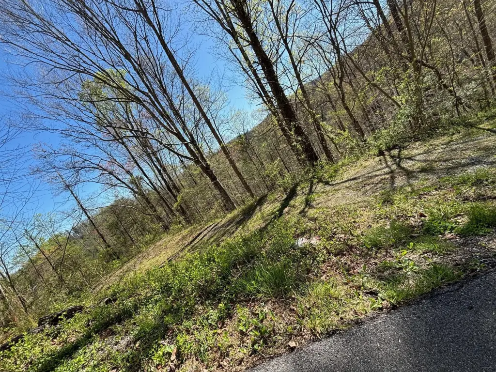
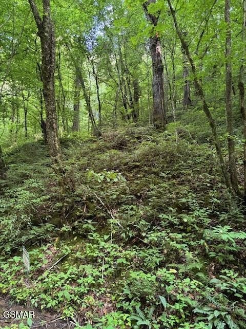
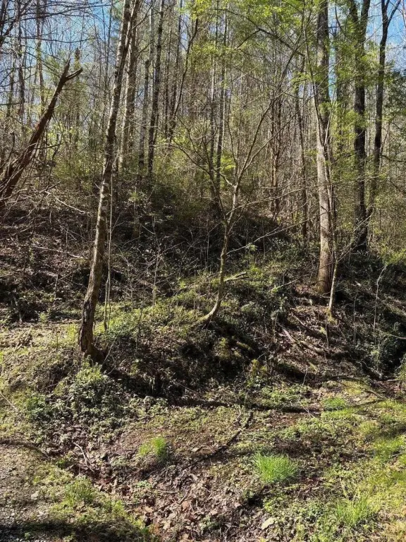
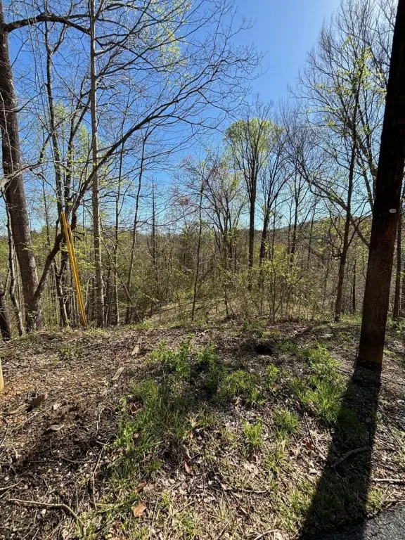
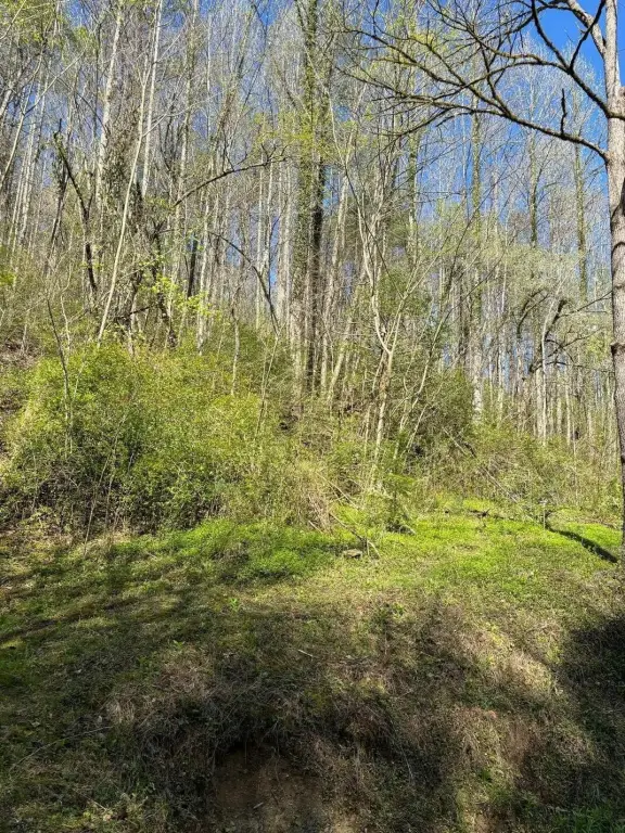
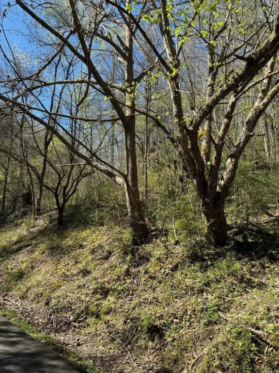
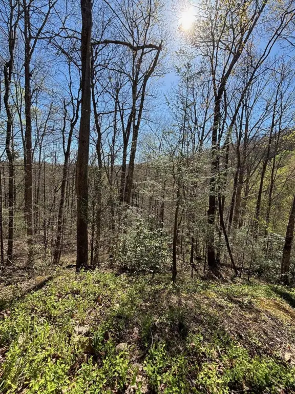
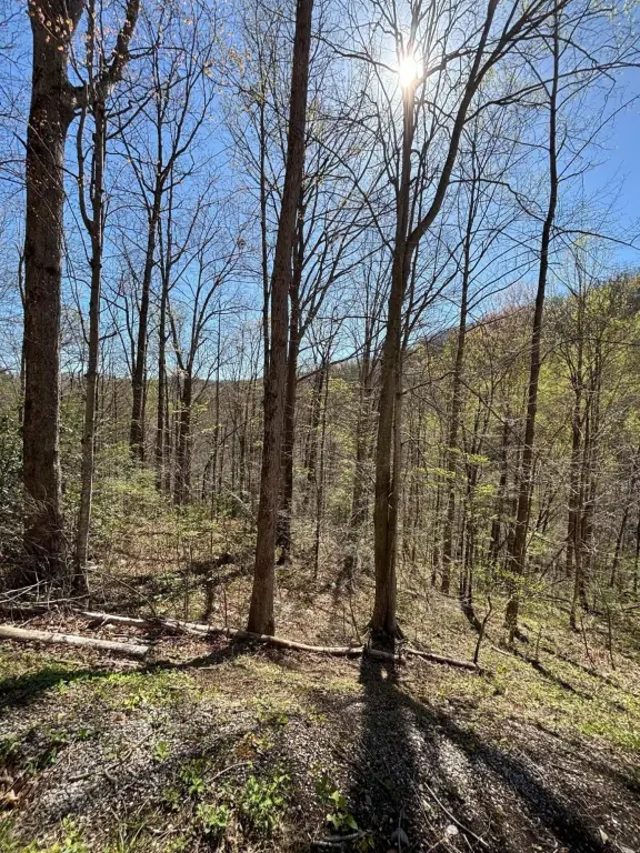
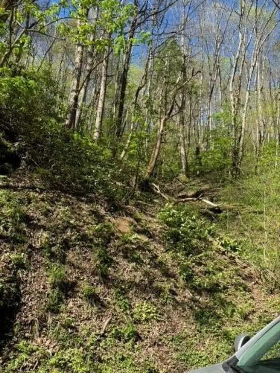
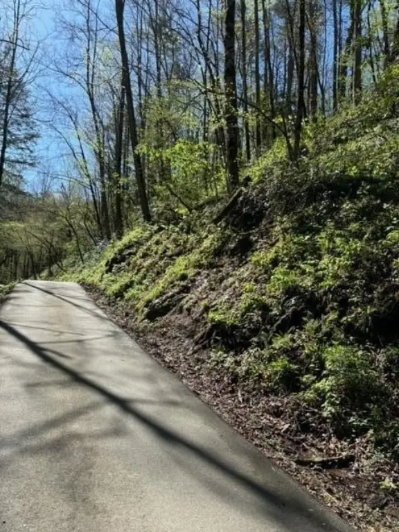
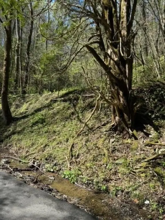
HighLights
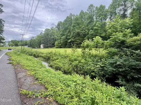
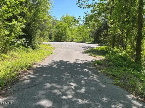
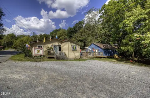
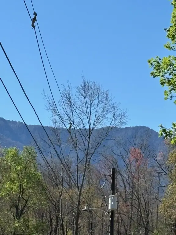
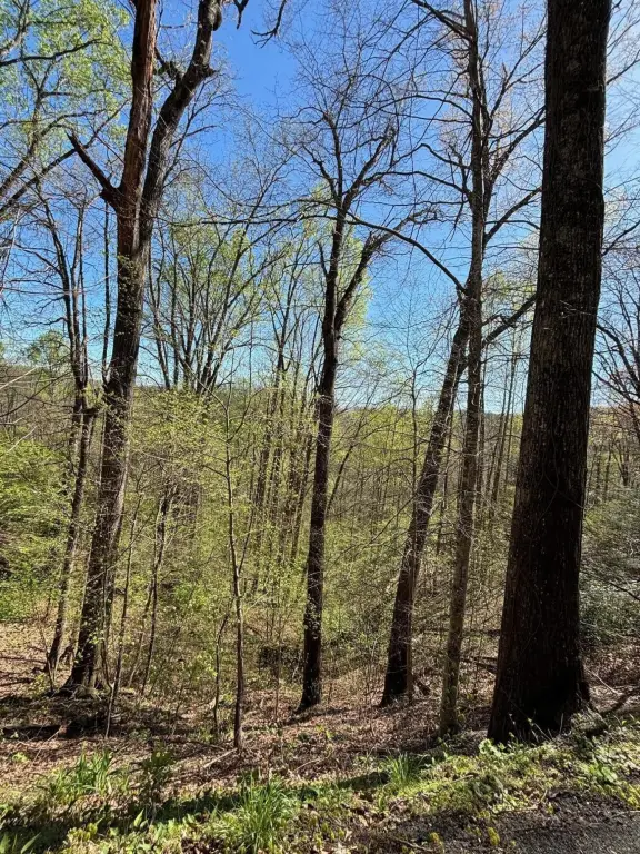
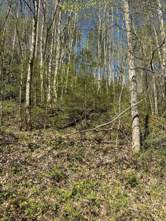
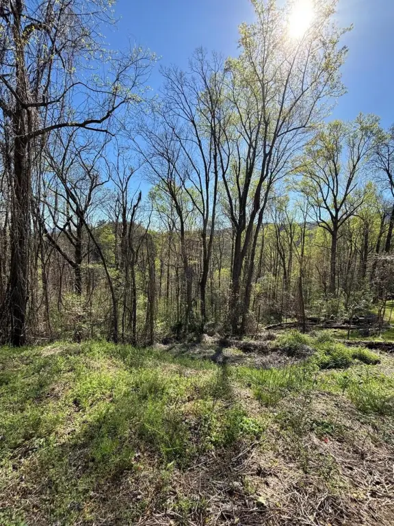
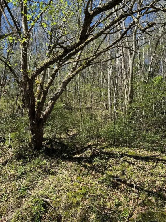
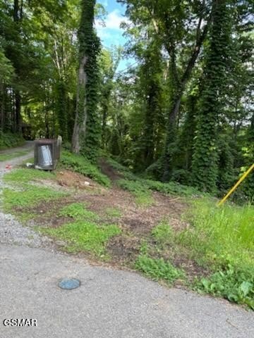
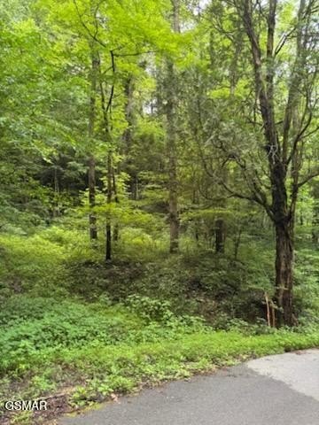
- 17‑acre development property across the street from a national park
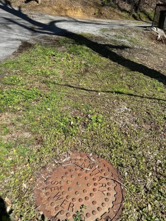
- City sewer and water available to the site
- Seller installed two sewer taps, including tap(s) coming from the campground and from a non‑developed parcel (per owner)
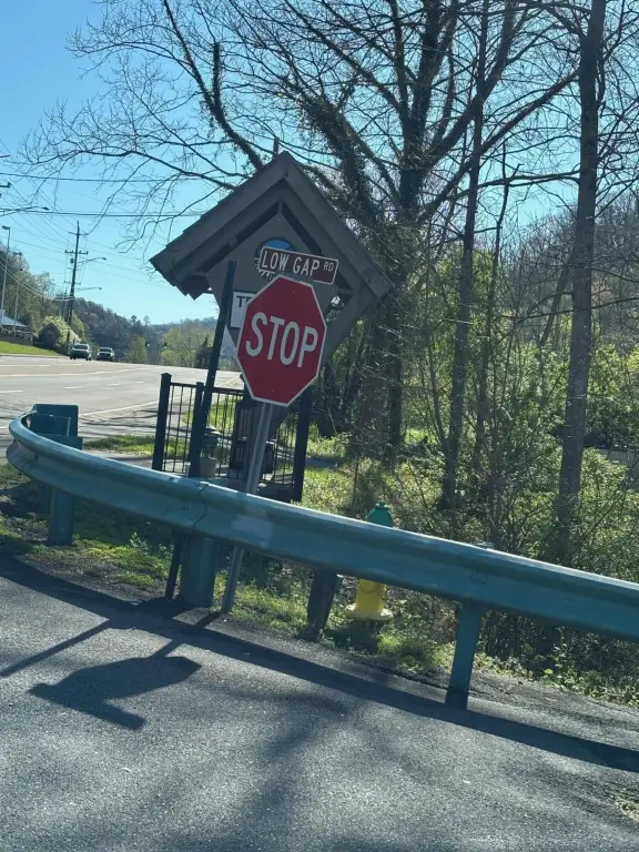
- Approx. 1,446 ft frontage on Low Gap and approx. 913 ft frontage on Esslinger
- Zoning allows a 4‑story (80 ft high) condo development with ground floor required to be parking area
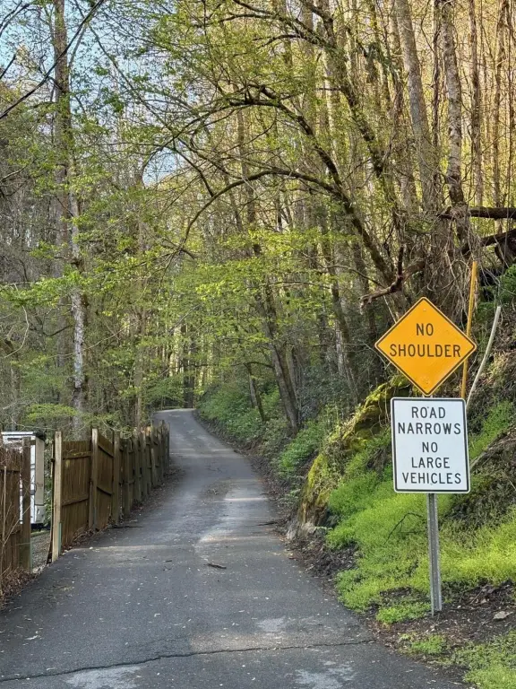
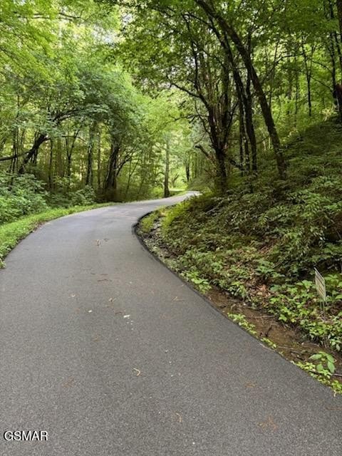
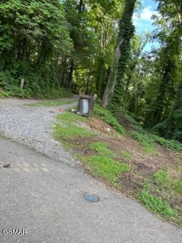
- Access via entrance through a campground on Hwy 321 (Low Gap is one‑way; Esslinger dead ends)
Overview
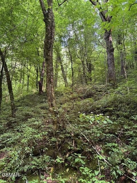
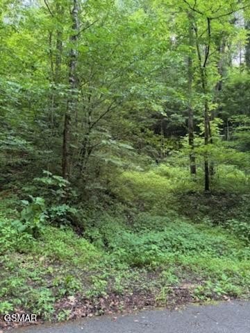
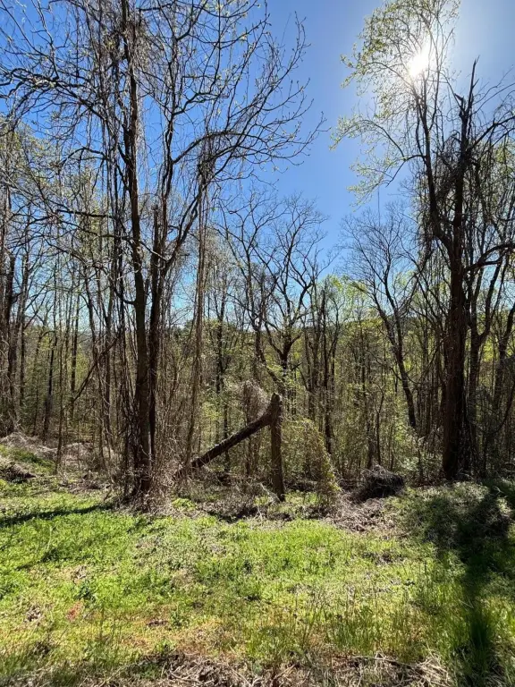
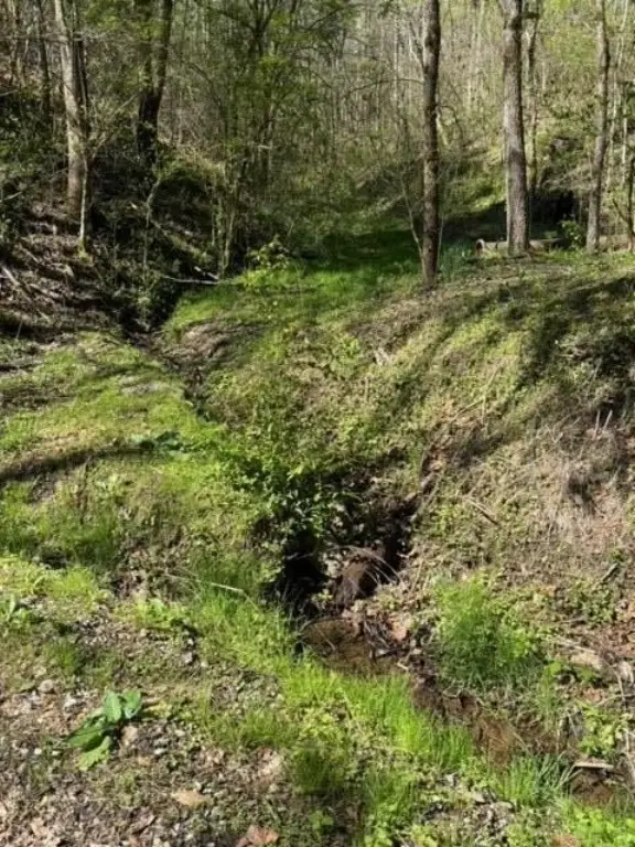
According to the seller, the parcel is across the street from the national park. Vehicular access is described as being through a campground on Hwy 321, noted as a one-way road with Low Gap identified as one way and Esslinger described as a dead end. The seller also notes the road is narrow, and suggests adding an additional road connection between Low Gap and Esslinger may improve access.
For developers and brokers evaluating entitlement and sitework readiness, the combination of C2 zoning, on-site access considerations, and availability of city sewer and water are key factors. The seller states the zoning allows for a 4-story, up to 80-foot condo development, with the ground floor required to function as a parking area. The site layout and access constraints should be reviewed early as part of any planning effort.
Current Use by Public Records
Map
- City
- Gatlinburg
- County
- Sevier
- State
- Tennessee
- Longitude
- -83.484128
- Latitude
- 35.719156