Waterfront Land with Eleven Point River

For Sale
$6,495,000
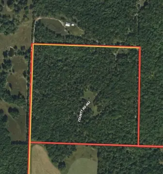
County Road 443, Birch Tree, MO 65483
LAND - Birch Tree, MO
Property SizeContact for details
Lot Size2,524.28 Acres
Days on Market121
Property Features for County Road 443
General Information
Property type
Land
Property subtype
Other
Subdivision
Not in Subdivision
Lot features
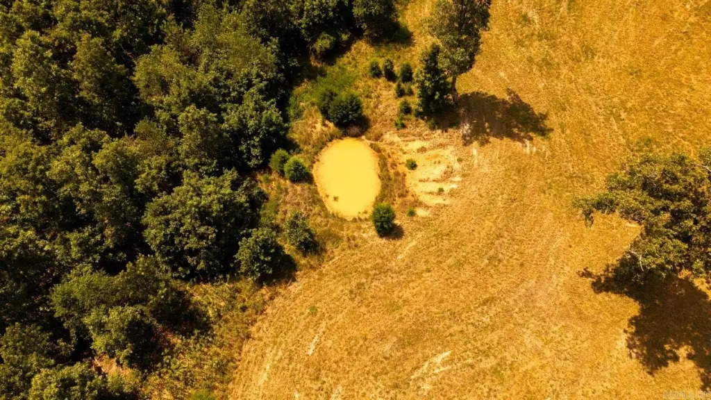
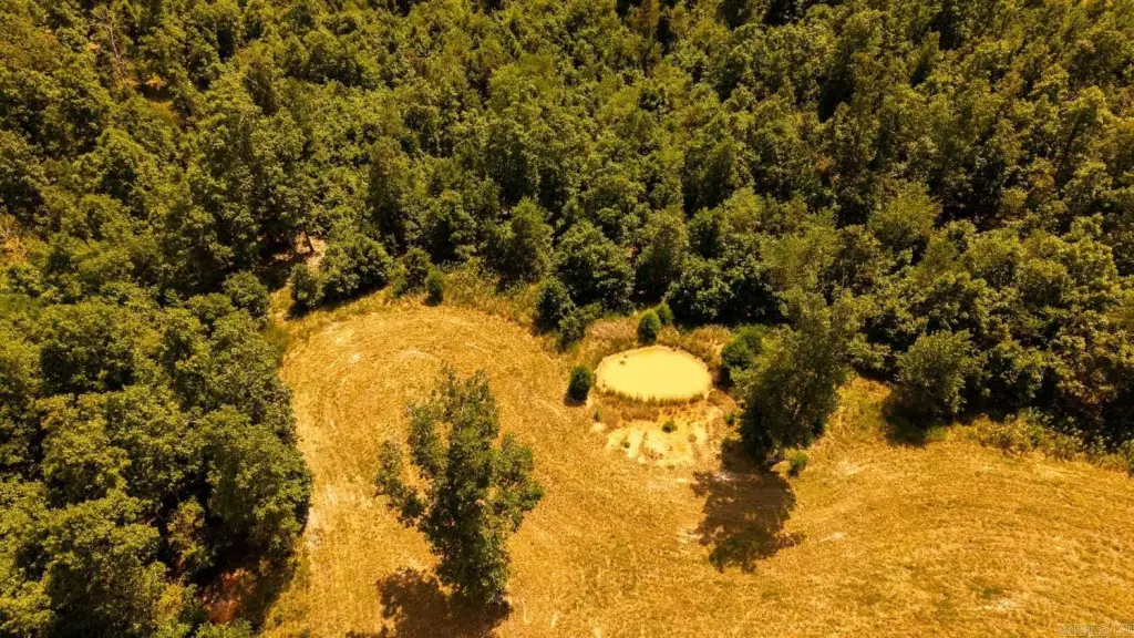
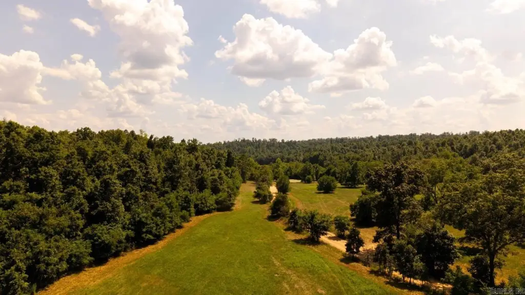
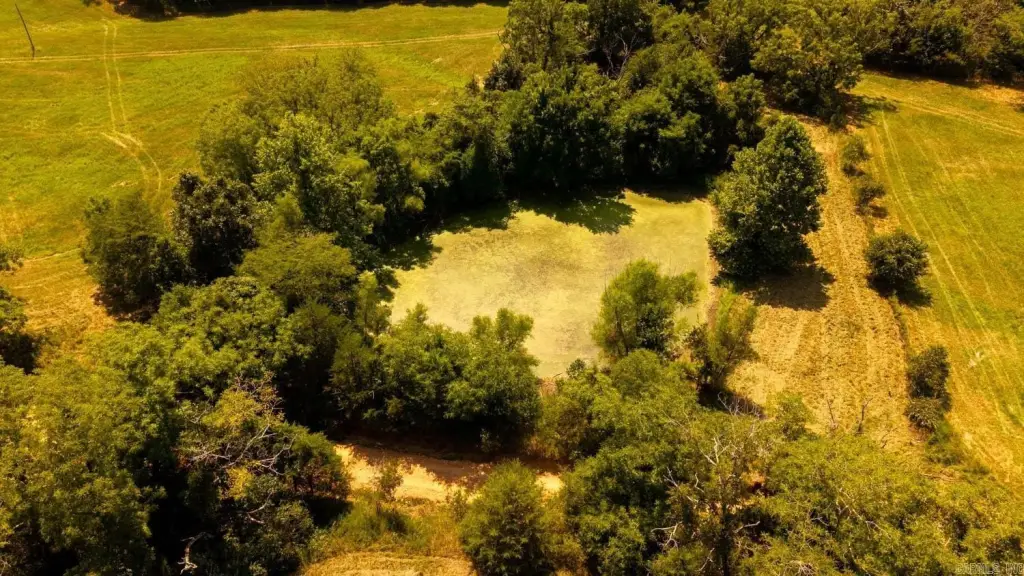
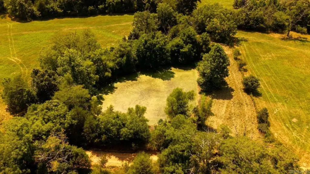
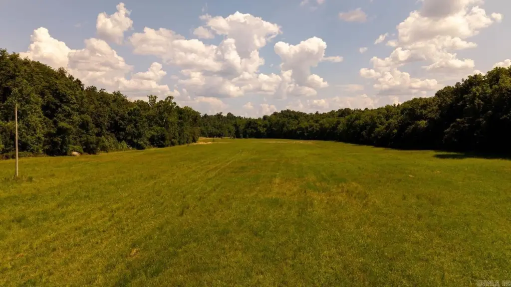
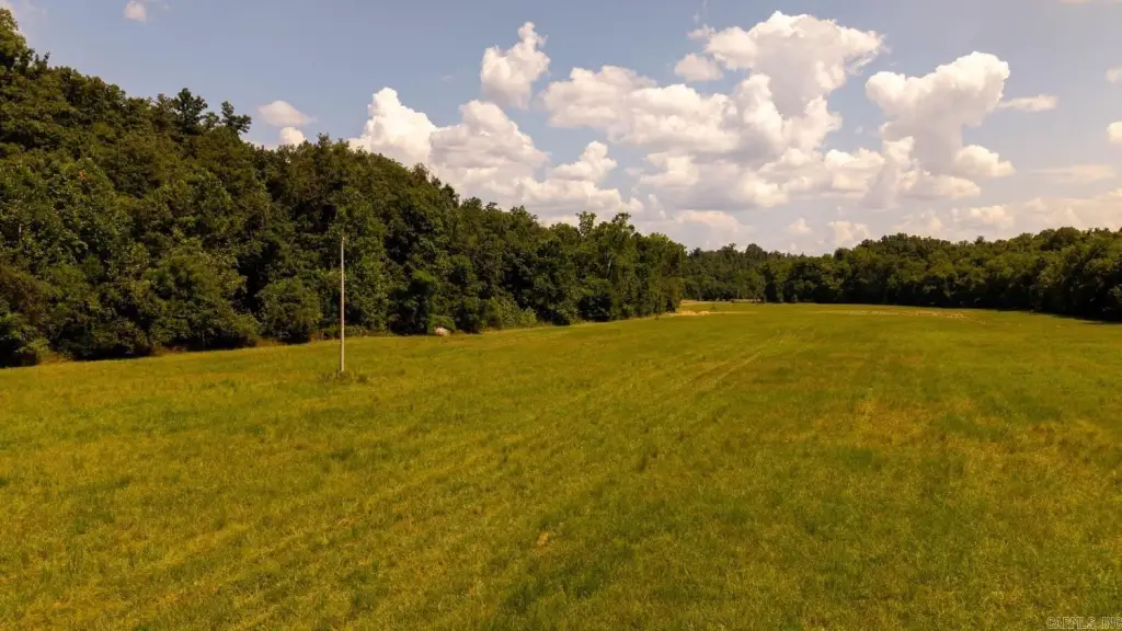
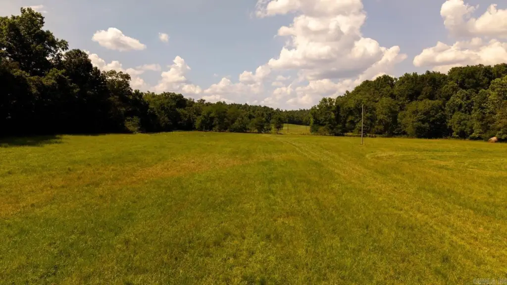
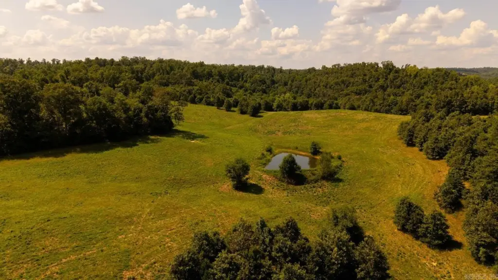
Rural Property, River Front, Pond, Not in Subdivision, Out of City, River/ Lake Area, Pastureland, Hunting/ Recreation
Directions
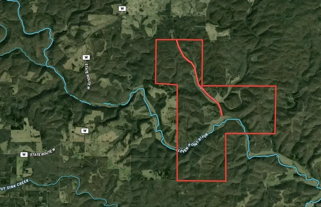
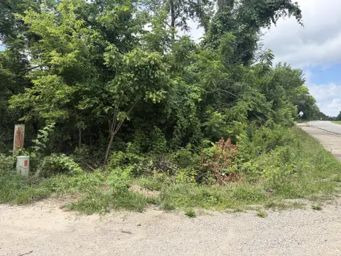
From Highway 99 going towards Birch Tree, turn left onto T Highway for 5.7 miles. Turn left onto TT Highway for 3.6 miles. Turn left onto County Road 443, gate to property in 2.4 miles
Standard status
Active
Lot size
2,524.28 Acres
Taxes and HOA fees
Tax Year
2025
Tax Description
17-24-6
Tax Annual Amount
980
Legal Description
17-24-6
Utilities
Water front
1
Listing Agency:
United Country - Cozort Realty, Inc.
(417) 264-7288
Listed By:
Zechariah Horton
(417) 280-7351
Added: Apr 22
Changed: Jul 28
Last Checked: Aug 20 at 5:06PM
MLS# 26016182
Copyright © 2026 Cooperative Arkansas Realtors Multiple Listing Service. All rights reserved. All information provided by the listing agent/broker is deemed reliable but is not guaranteed and should be independently verified.
Investment Insights
Based on property information with market context.
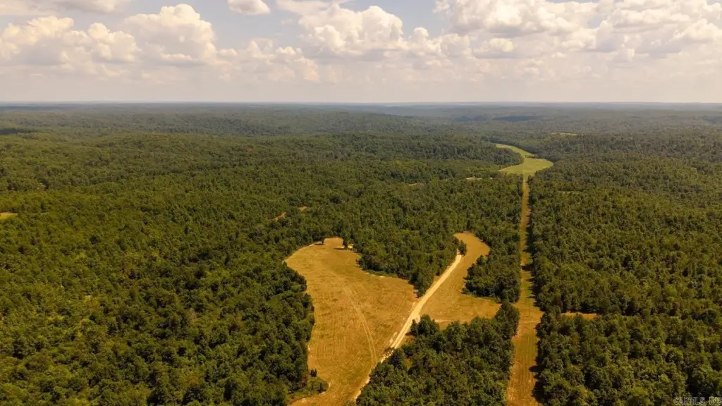
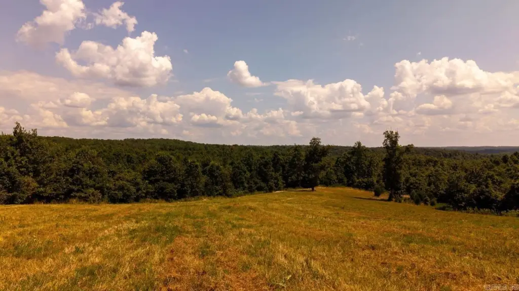
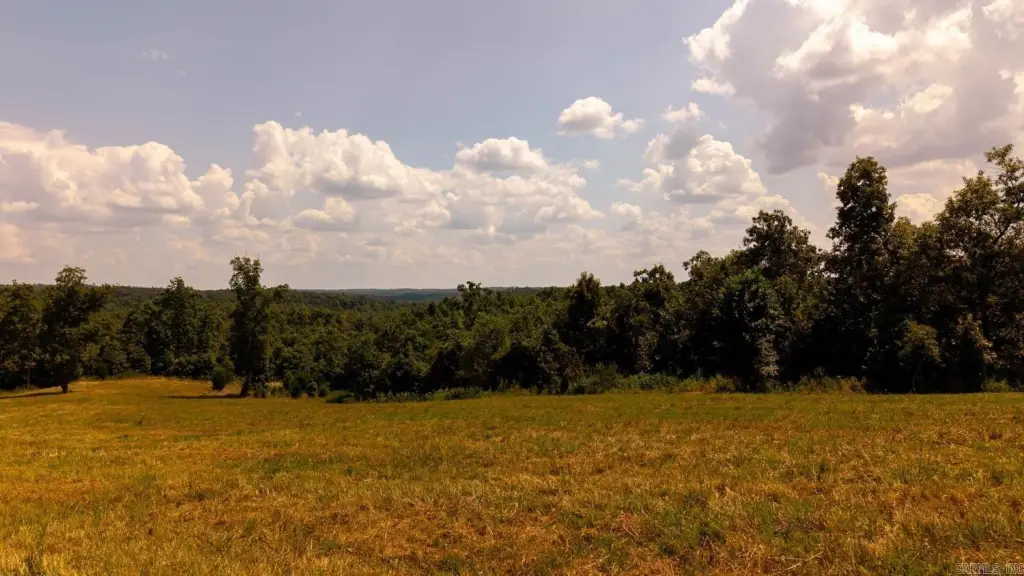
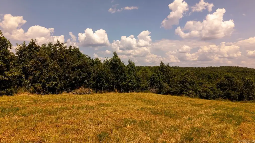
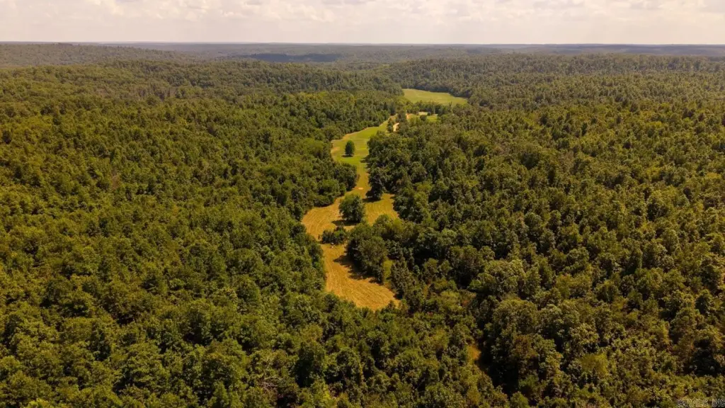
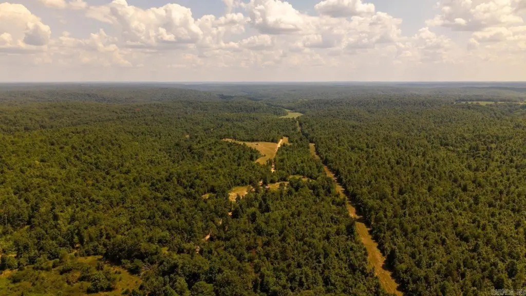
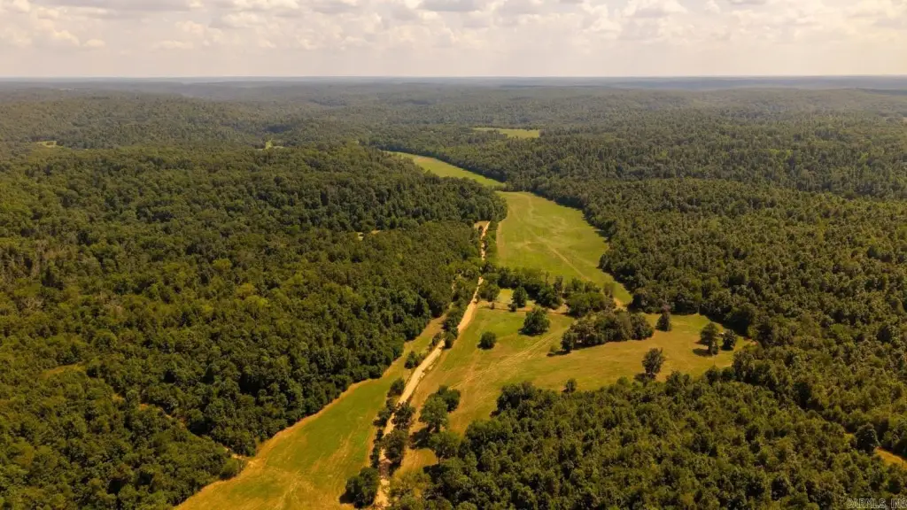
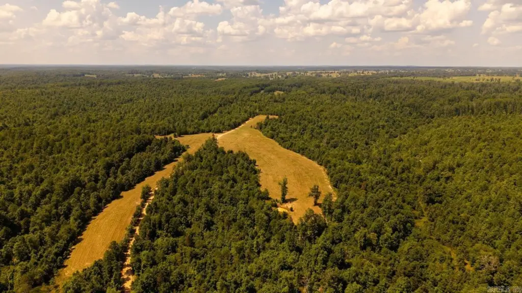
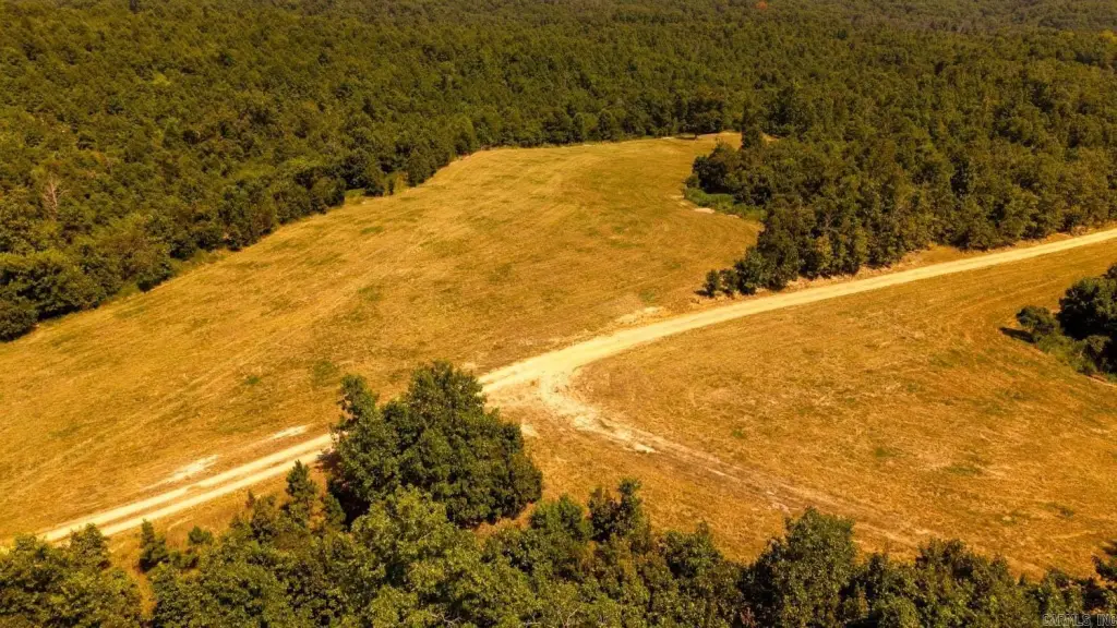
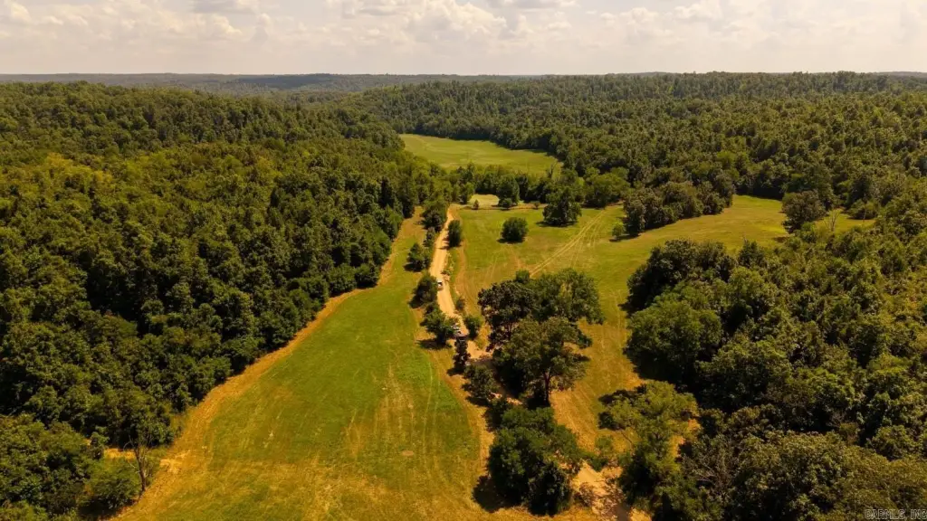
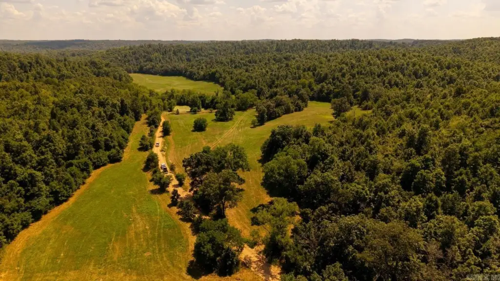
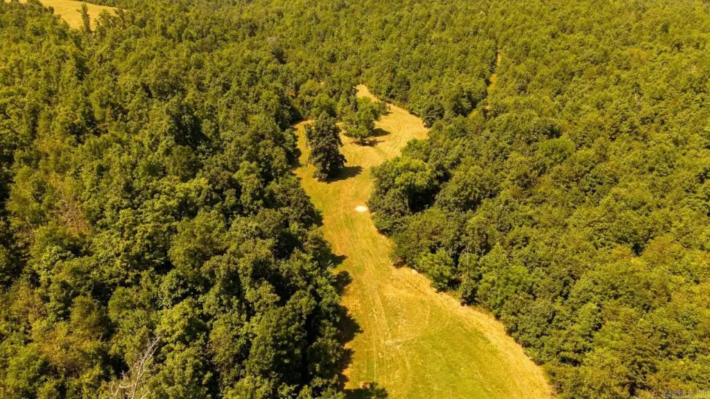
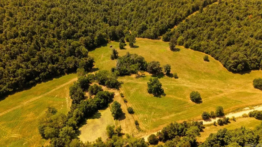
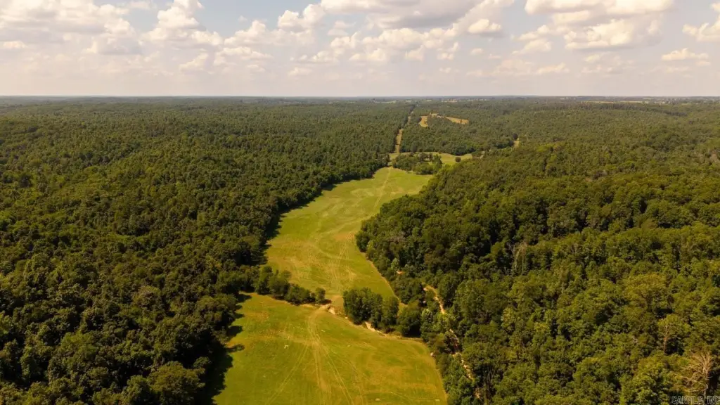
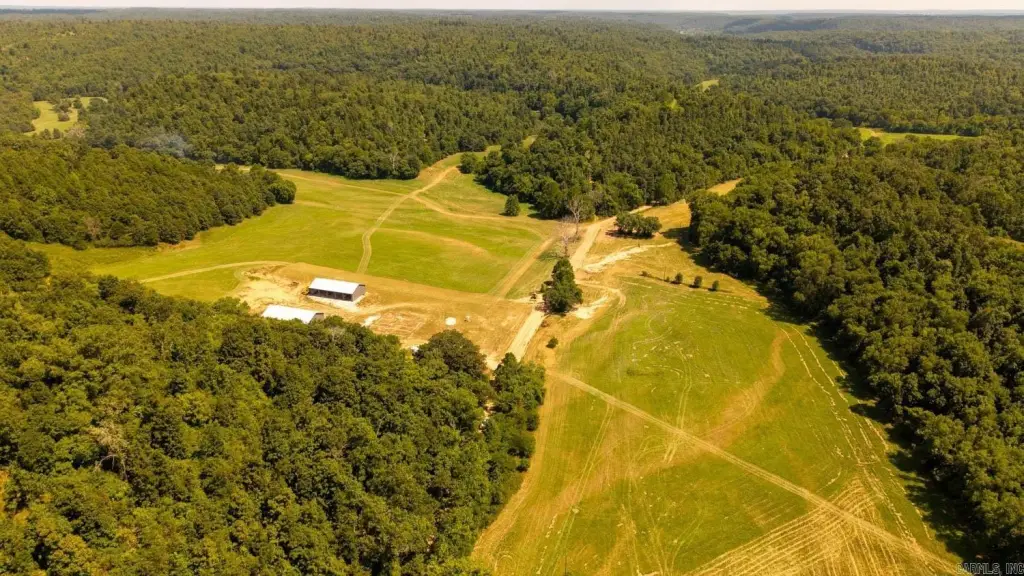
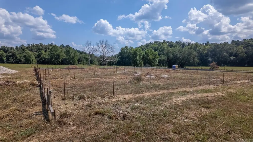
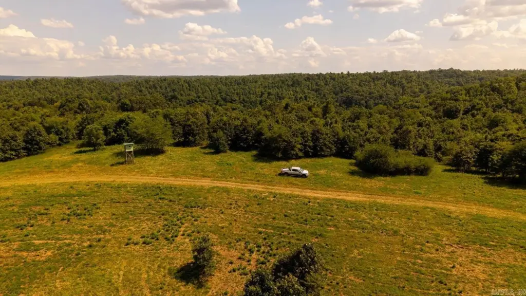
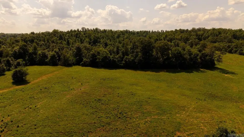
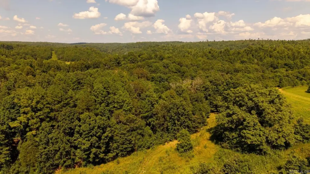
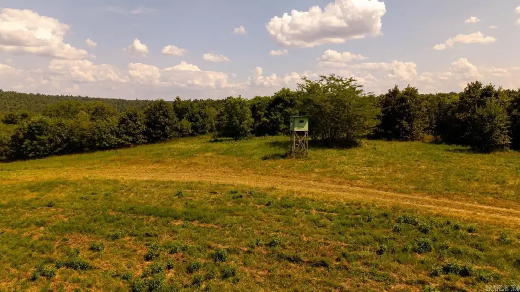
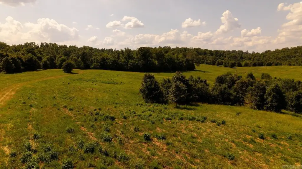
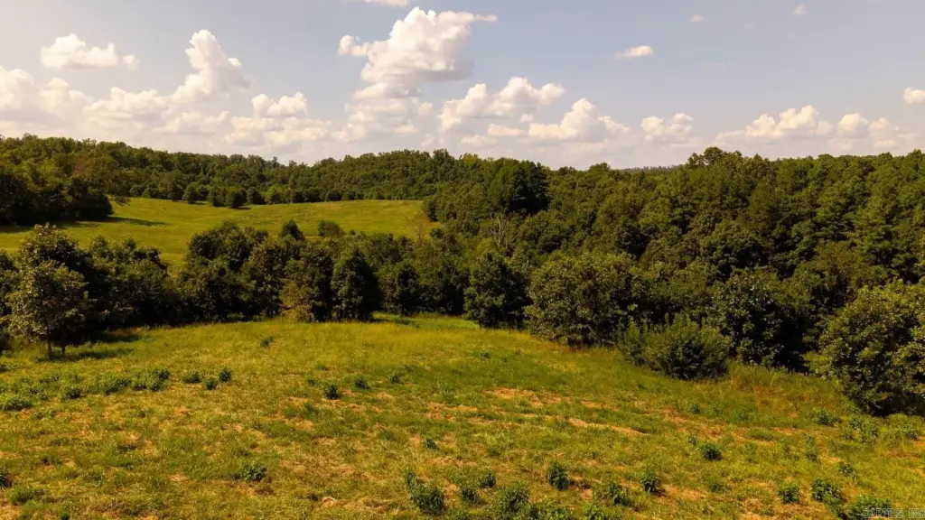
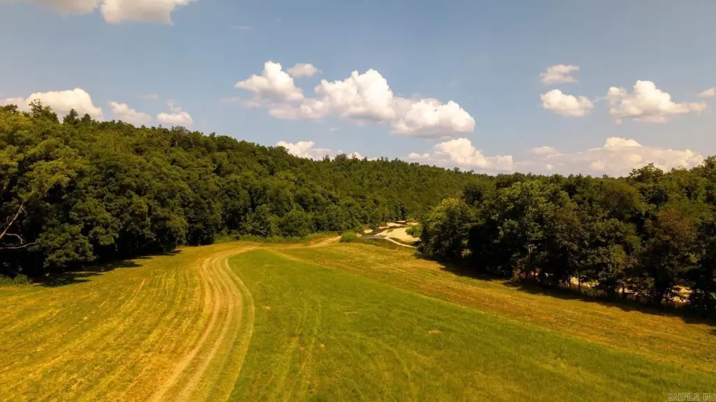
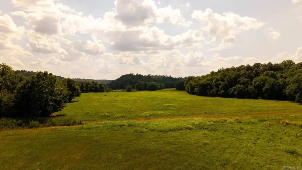
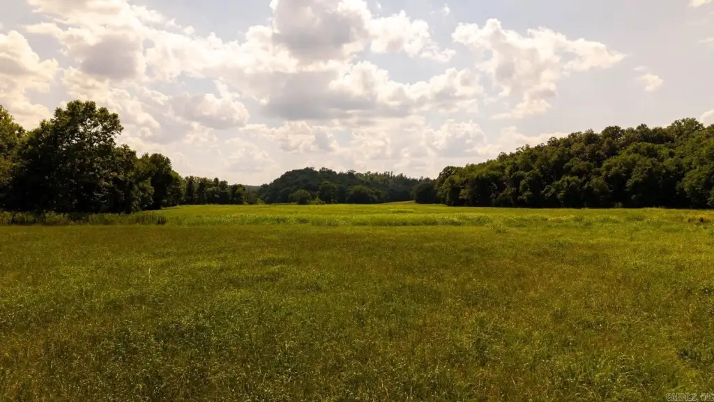
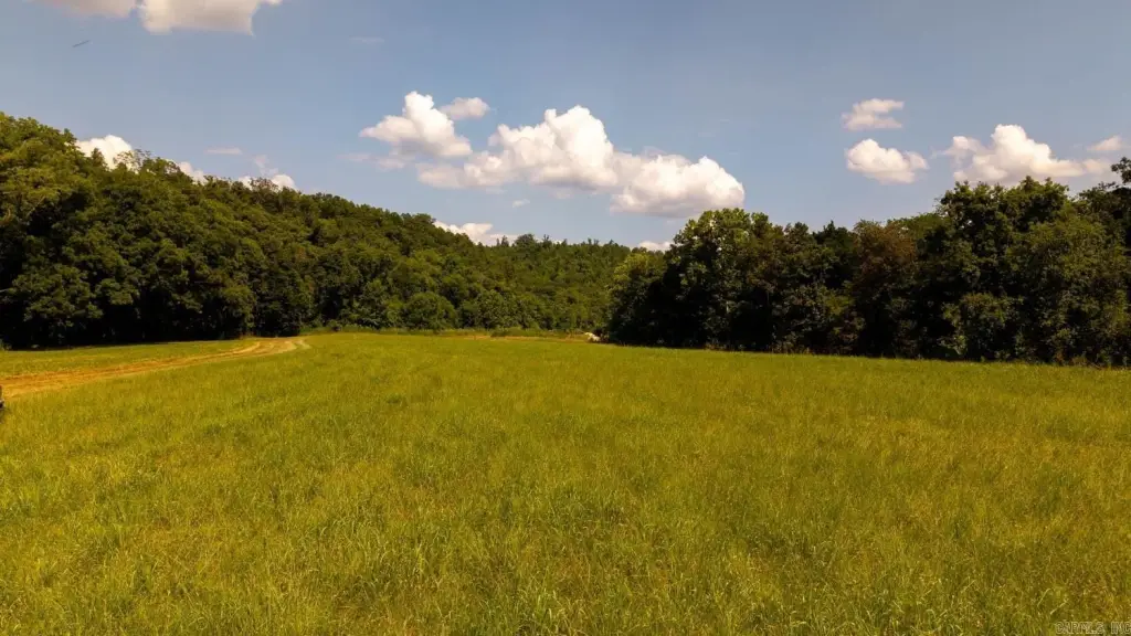
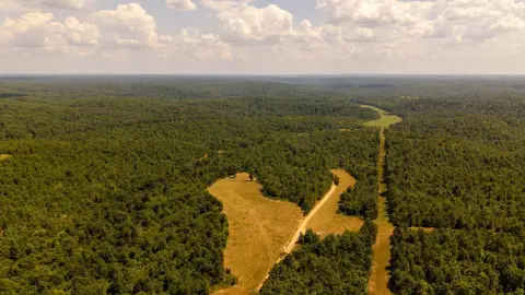
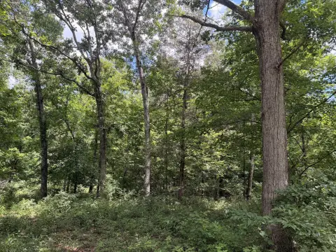
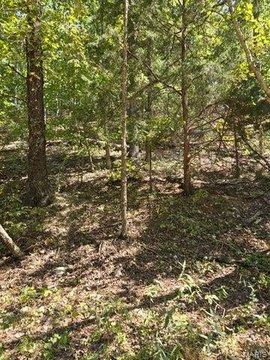
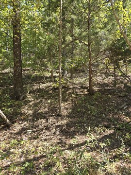
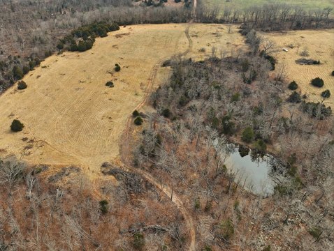
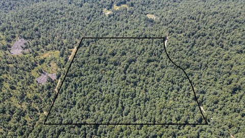
A waterfront land property in the Missouri Ozarks totaling 2,524.28 acres, with over two miles of frontage on the Eleven Point River. The terrain is described as rolling hills with mature hardwoods and open ground, offering a mix that can support a range of uses.
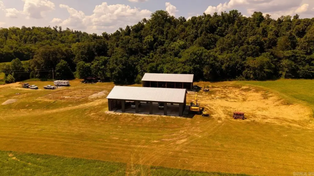
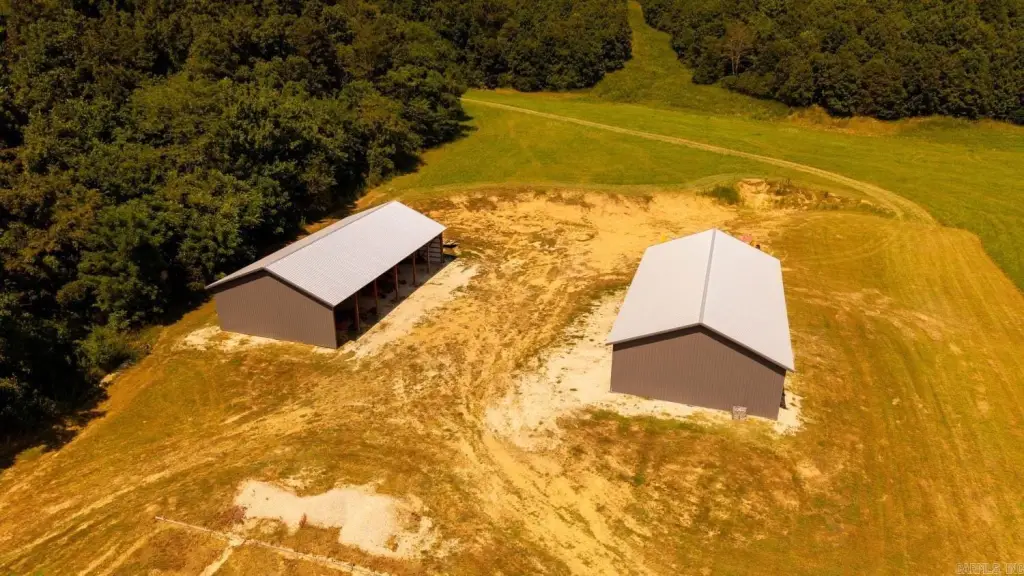
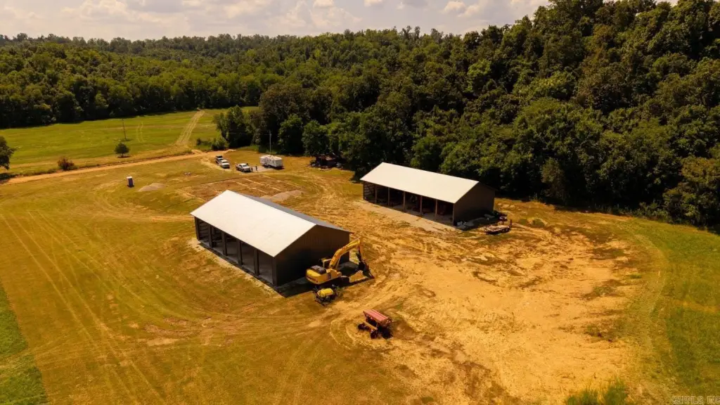
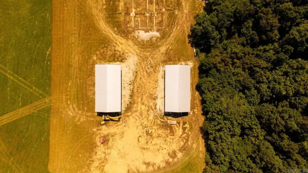
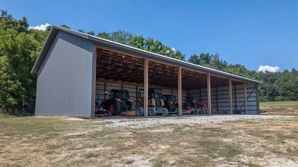
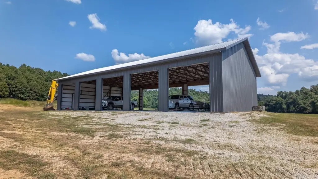
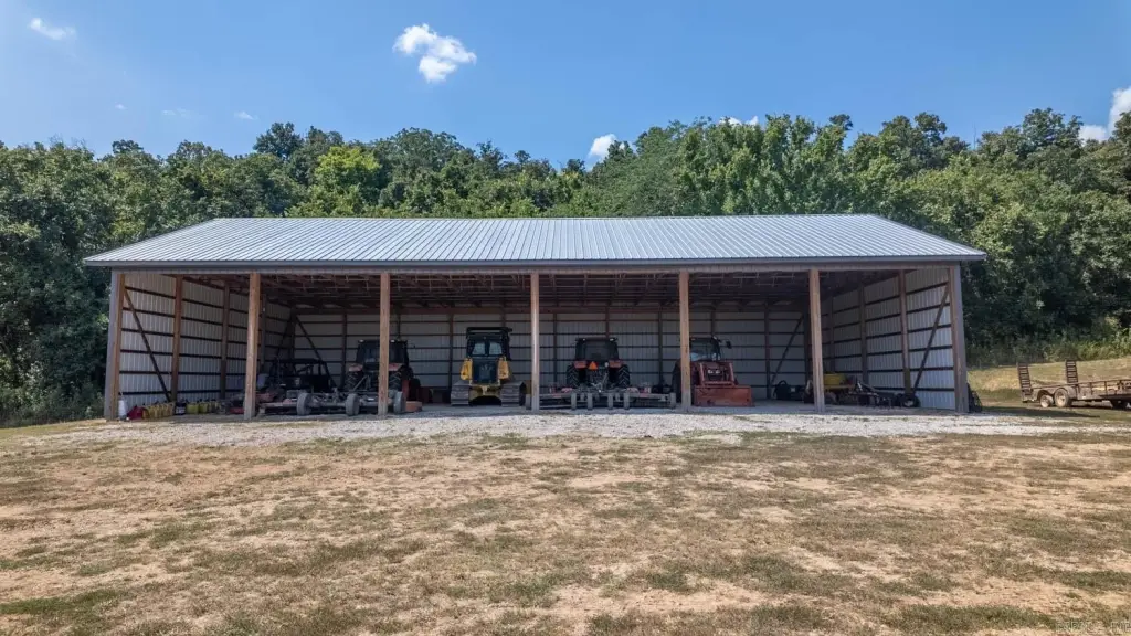
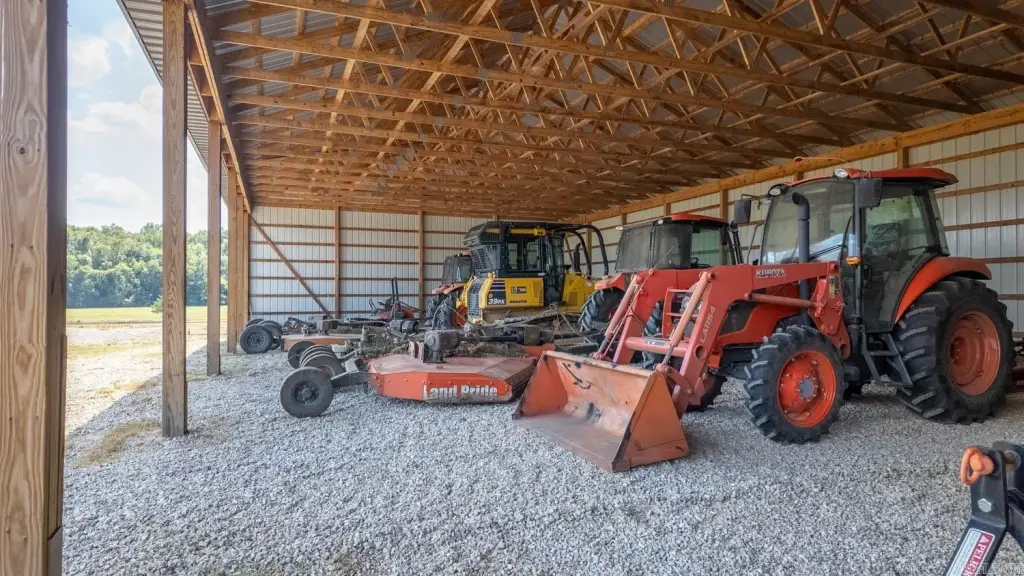
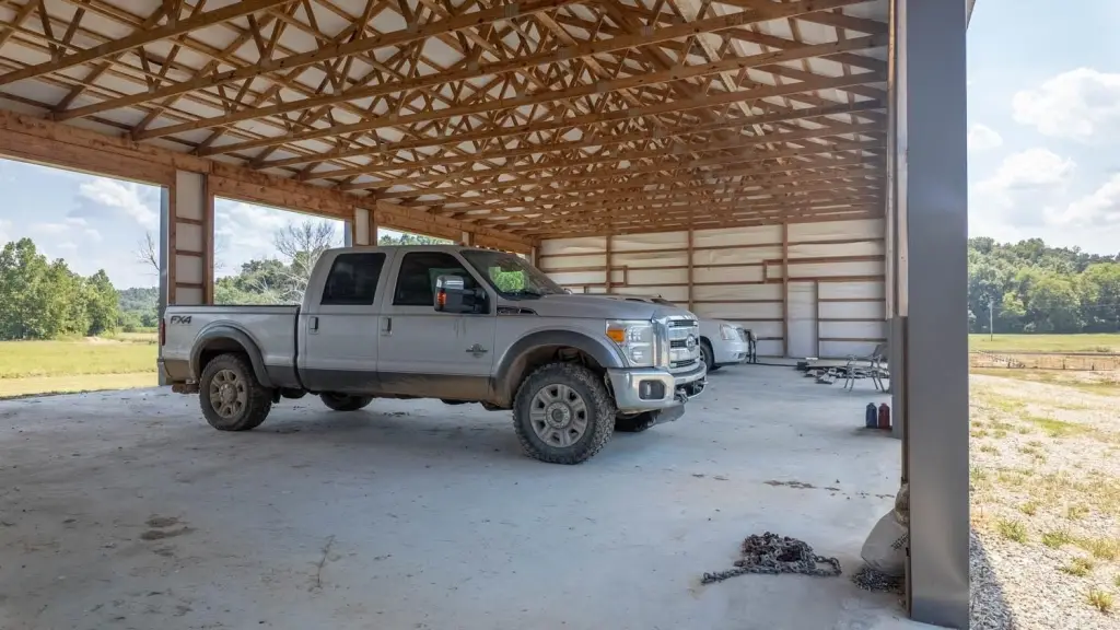
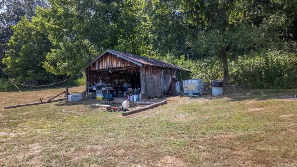
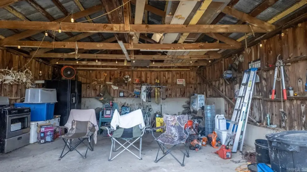
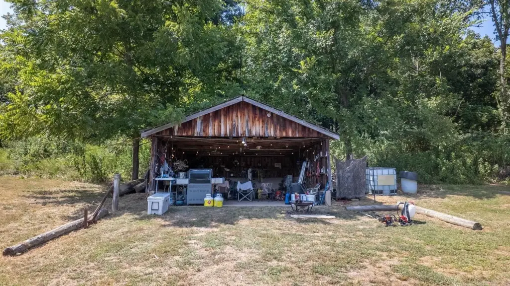
The property includes an extensive trail system for ATV use, horseback riding, and hiking, and it is described as holding abundant wildlife. Improvements include two large pole barns and a workshop, with electricity already extended deep into the property.
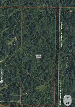
Conveniently located between Mountain View and Thomasville, near Alley Spring and Mill, Rocky Falls, the Ozark Trail, and Mark Twain National Forest, the tract is presented as an Ozarks legacy holding suitable for farming, recreation, or building a private estate.
The property includes an extensive trail system for ATV use, horseback riding, and hiking, and it is described as holding abundant wildlife. Improvements include two large pole barns and a workshop, with electricity already extended deep into the property.
Conveniently located between Mountain View and Thomasville, near Alley Spring and Mill, Rocky Falls, the Ozark Trail, and Mark Twain National Forest, the tract is presented as an Ozarks legacy holding suitable for farming, recreation, or building a private estate.
Key Highlights
- 2,524.28 acres of waterfront land in the Missouri Ozarks
- Over two miles of frontage on the Eleven Point River
- Extensive trail system for ATVs, horseback riding, and hiking
Property Analytics
Current Use
Location Intelligence
Trade Area within ½ mile
1
Businesses Nearby
Explore this area
Business Placement
Demographics for 65483, MO
4,607
Population
2,077
Households
2.2
Avg Household Size
43
Median Age
14%
College-Educated
85%
High-School Grad
107.0 sq mi
ZIP Area
43
Density / Sq Mi
$48,099
Median Household Income
$28,632
Median Earnings
$727
Median Rent
$116,500
Median Home Value

Questions? Ask Rey
Realmo’s AI knows this listing — price, zoning, demand, history. Ask anything.

Frequently Asked Questions
What type of property is this?
Waterfront Land - Extensive waterfront acreage with over two miles of Eleven Point River frontage plus pole barns, workshop, and electricity extended onsite.
Where is this waterfront land located?
The property is located at County Road 443 Birch Tree, MO.
What is the asking price?
The asking price for this property is $6,495,000.
What are key features of this property?
This property features: 2,524.28 acres of waterfront land in the Missouri Ozarks; Over two miles of frontage on the Eleven Point River; Extensive trail system for ATVs, horseback riding, and hiking