Off-Grid Forest
For Sale
Contact for pricing
Buzzard Gap Development, Wilburton, OK 74578
Land, Wilburton, OK
Property SizeContact for details
Lot Size5.00 Acres
Days on Market424
Property Features for Buzzard Gap Development
General Information
Property type
Land
Property subtype
Other
Standard status
Active
Lot size
5.00 Acres
Taxes and HOA fees
Tax Annual Amount
40
Listing Agency:
Red River Realty and Auction
(580) 924-9595
Listed By:
Chuck Clark
(580) 924-9595
Added: Jul 2, 2025
Changed: Aug 19
Last Checked: Aug 29 at 1:06PM
MLS# 11536509
Copyright © 2026 My State MLS. All rights reserved. All information provided by the listing agent/broker is deemed reliable but is not guaranteed and should be independently verified.
Investment Insights
Based on property information with market context.
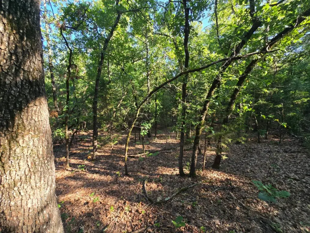
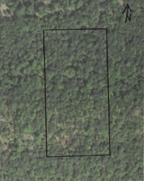
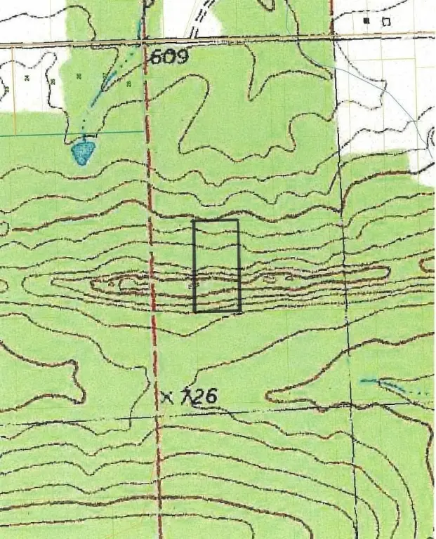
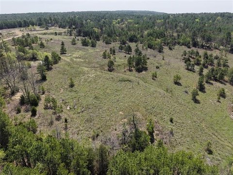
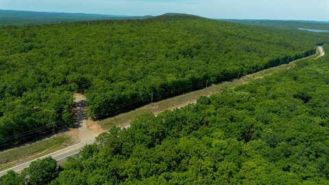
This 5-acre wooded tract offers rugged topography with a ridge, valleys, benches, large boulders, rock formations, and a 30' high cliff wall. Multiple potential building sites are located south of the ridge line. The property is off grid, with no electricity or rural water lines available; future improvements would require alternatives such as solar or generator power and a water solution such as catchment or a well.
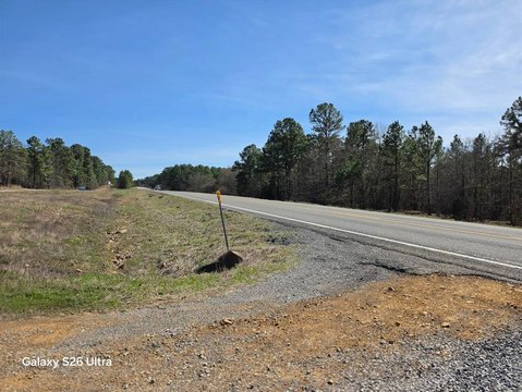
Legal access easements reach the property through Buzzard Gap Development near Wilburton. The tract sits approximately 600' north of the main easement trail at the end of a 30' wide legal access easement, but no road or trail extends across the final 600'. Existing recreational uses include camping, hiking, and hunting. Wildlife identified in the area includes white-tailed deer, turkey, rabbit, squirrel, bobcat, and black bear.
Legal access easements reach the property through Buzzard Gap Development near Wilburton. The tract sits approximately 600' north of the main easement trail at the end of a 30' wide legal access easement, but no road or trail extends across the final 600'. Existing recreational uses include camping, hiking, and hunting. Wildlife identified in the area includes white-tailed deer, turkey, rabbit, squirrel, bobcat, and black bear.
Key Highlights
- 5 acres of forest land with ridges, valleys, boulders, and rock formations
- 30' high cliff wall and stone ridge features
- Legal access easement reaches the property
Property Analytics
Property Profile
Current Use
Location Intelligence
Trade Area within ½ mile
Explore this area
Business Placement
Demographics for 74578, OK
5,760
Population
2,750
Households
2.1
Avg Household Size
40
Median Age
8%
College-Educated
81%
High-School Grad
317.4 sq mi
ZIP Area
18
Density / Sq Mi
$41,429
Median Household Income
$31,857
Median Earnings
$748
Median Rent
$94,200
Median Home Value

Questions? Ask Rey
Realmo’s AI knows this listing — price, zoning, demand, history. Ask anything.






Frequently Asked Questions
What type of property is this?
Land - Rugged wooded terrain features ridges, valleys, rock formations, and legal easement access.
Where is this land located?
The property is located at Buzzard Gap Development Wilburton, OK.
What are key features of this property?
This property features: 5 acres of forest land with ridges, valleys, boulders, and rock formations; 30' high cliff wall and stone ridge features; Legal access easement reaches the property