Rural Slate Quarry Land
Bull Frog Hollow Road Wells, VT 05774
For Sale
$165,000
LAND - Wells, VT
Lot Size38.36 Acres
Days on Market49
Property Features for Bull Frog Hollow Road
General Information
Property type
Land
Property subtype
Other
Zoning
Rural
Standard status
Active
Lot size
38.36 Acres
Taxes and HOA fees
Tax Year
2026
Tax Annual Amount
876
Listing Agency:
KW Vermont
(802) 654-8500
Listed By:
Kate Flanders
(802) 654-8500
Added: Jun 11
Last Checked: Jul 29 at 11:06PM
MLS# 5094138
Copyright © 2026 PrimeMLS. All rights reserved. All information provided by the listing agent/broker is deemed reliable but is not guaranteed and should be independently verified.
Investment Insights
Based on property information with market context.
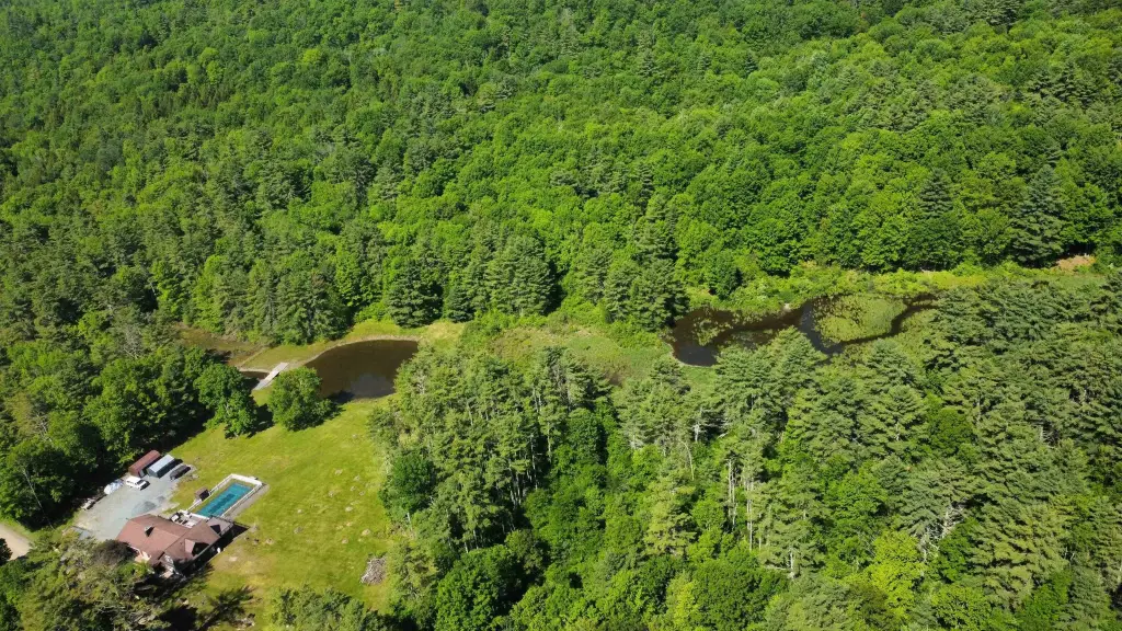
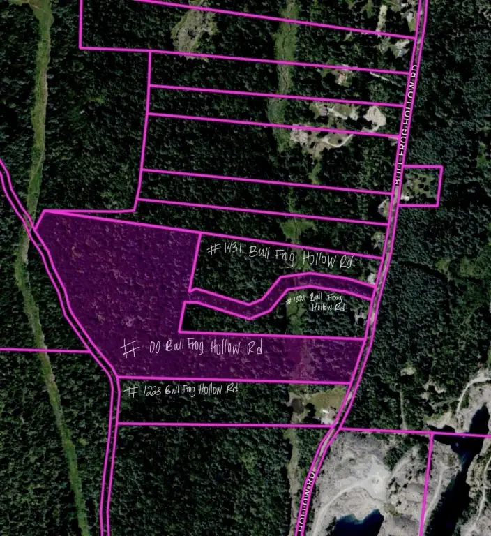
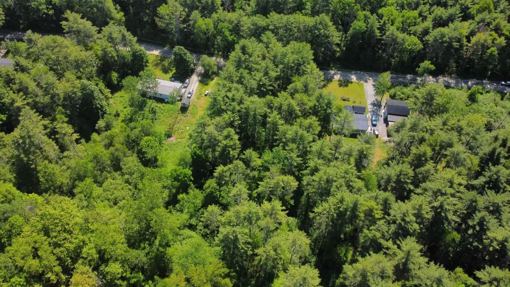
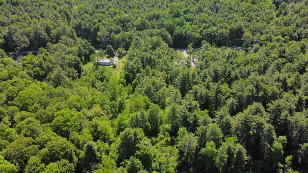
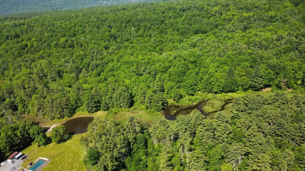
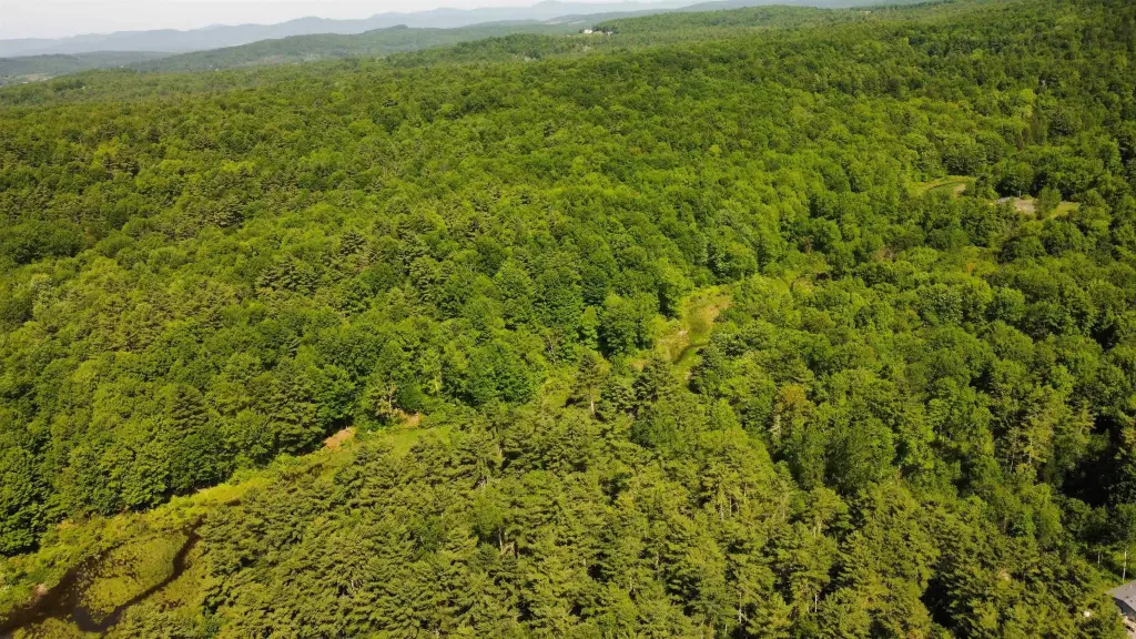
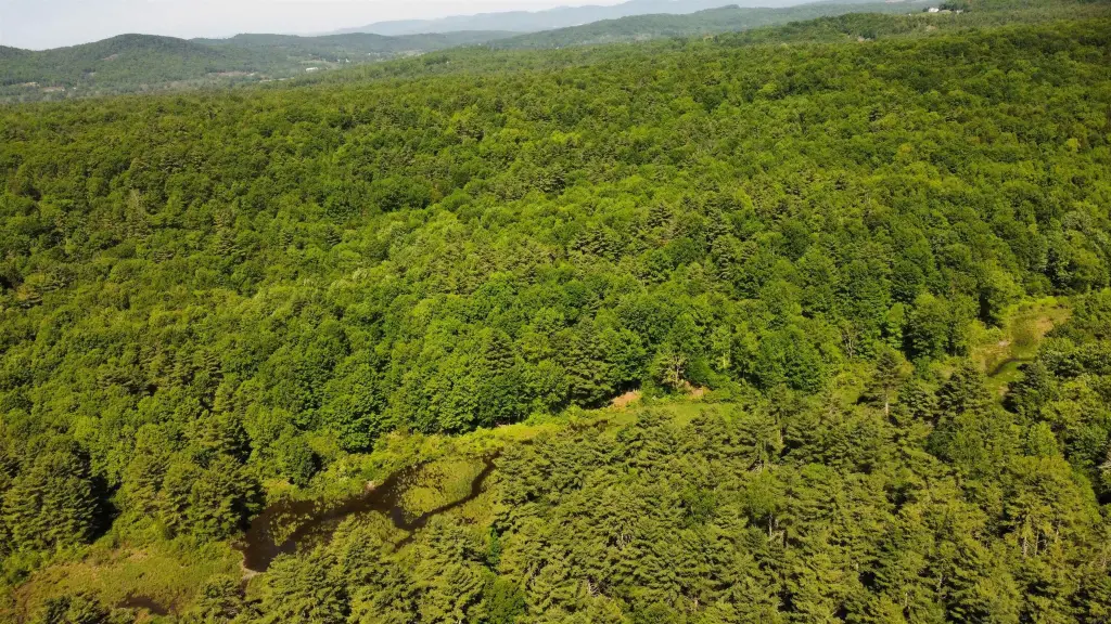
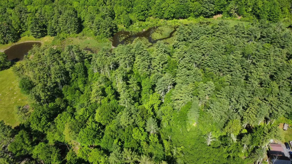
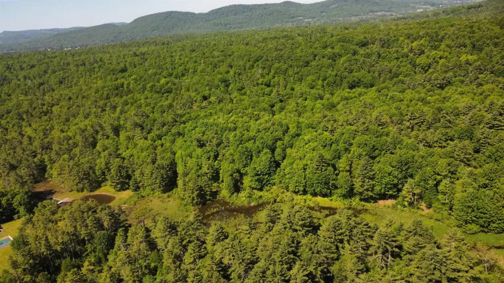
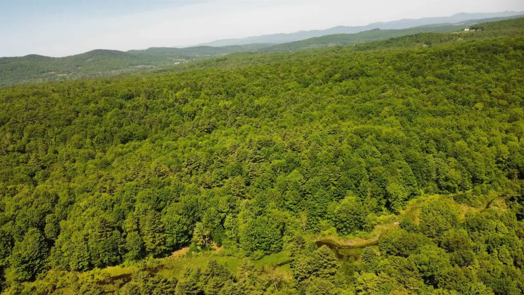
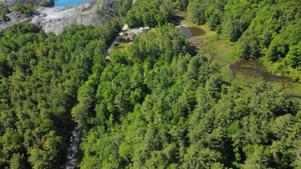
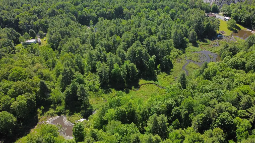
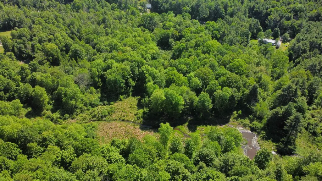
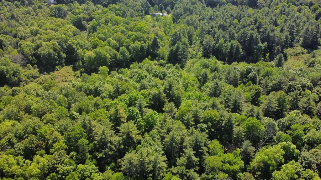
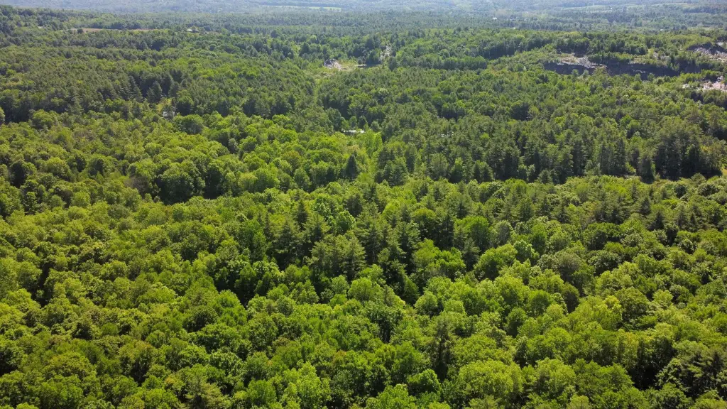
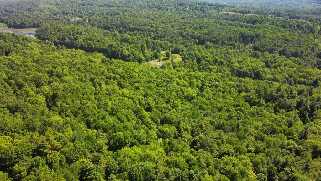
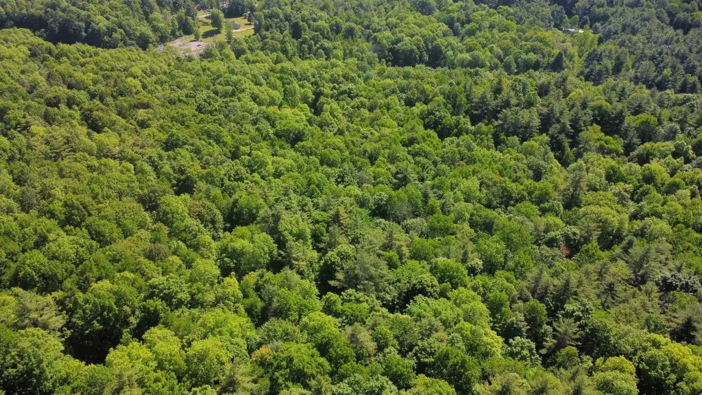
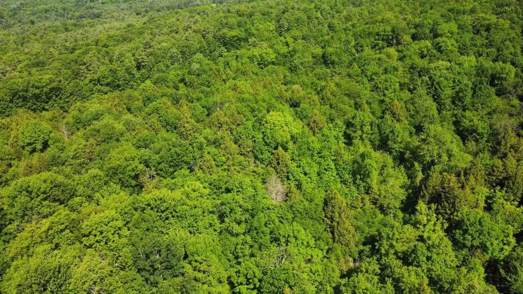
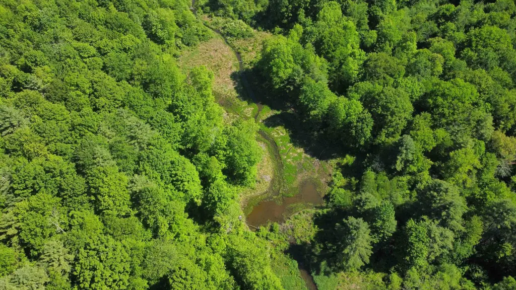
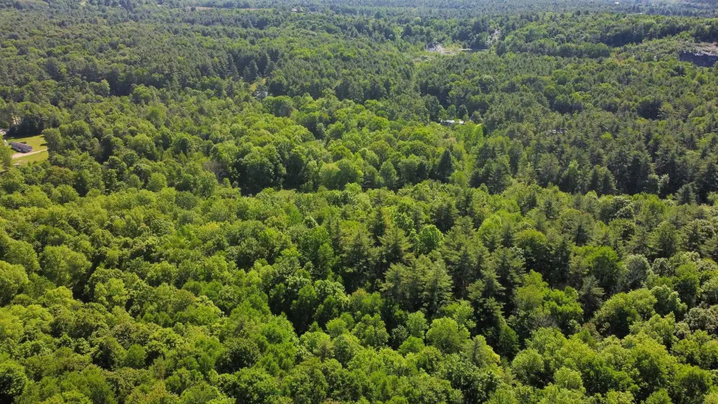
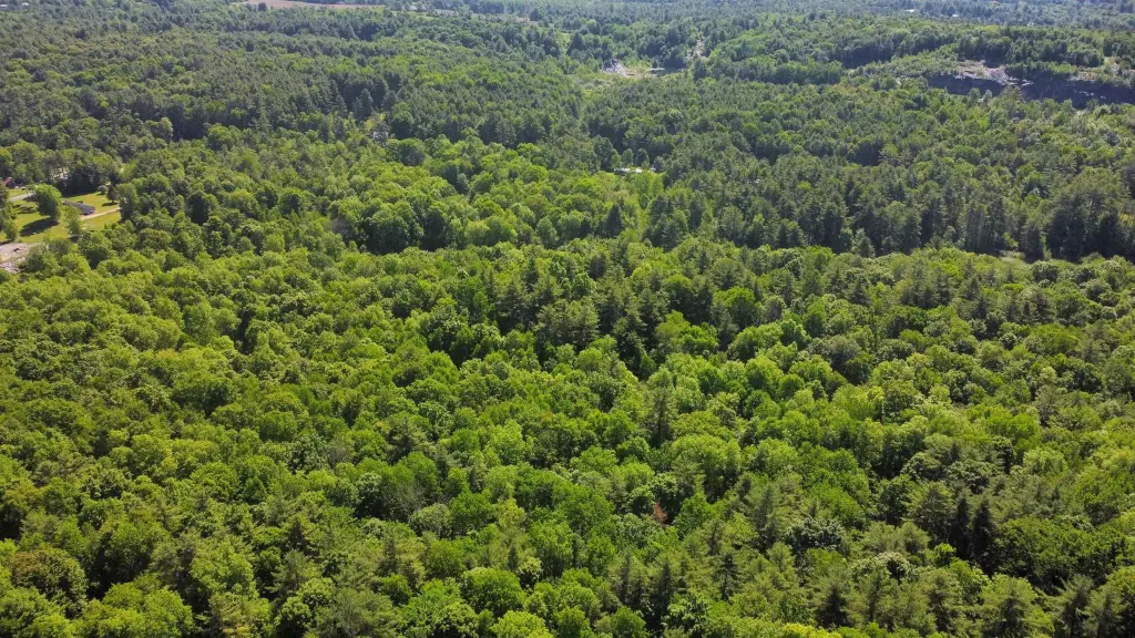
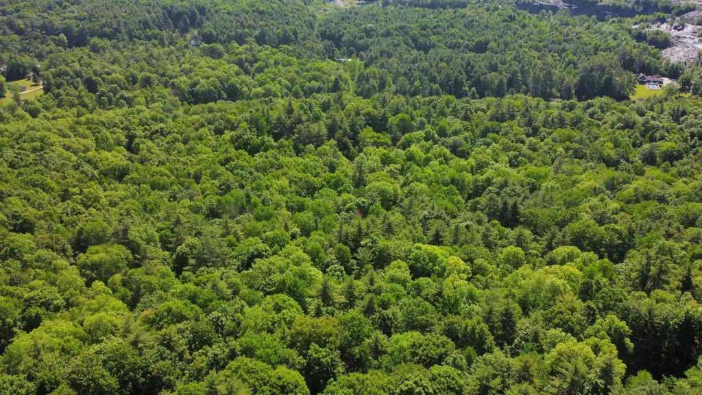
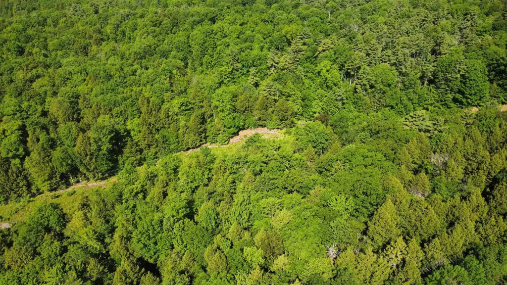
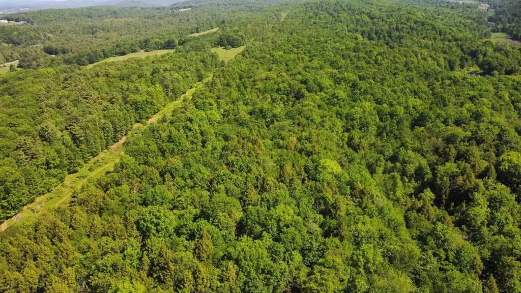
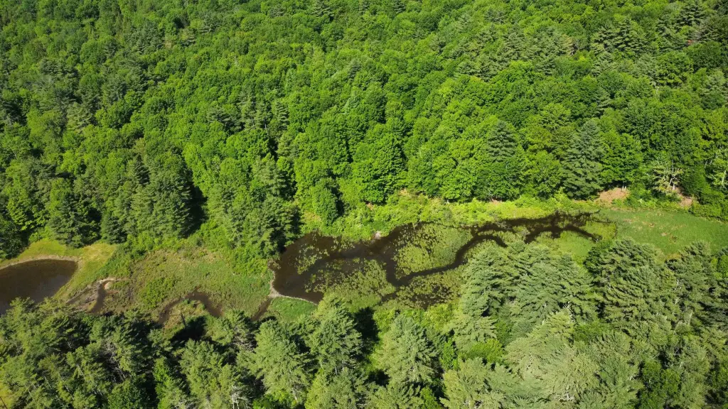
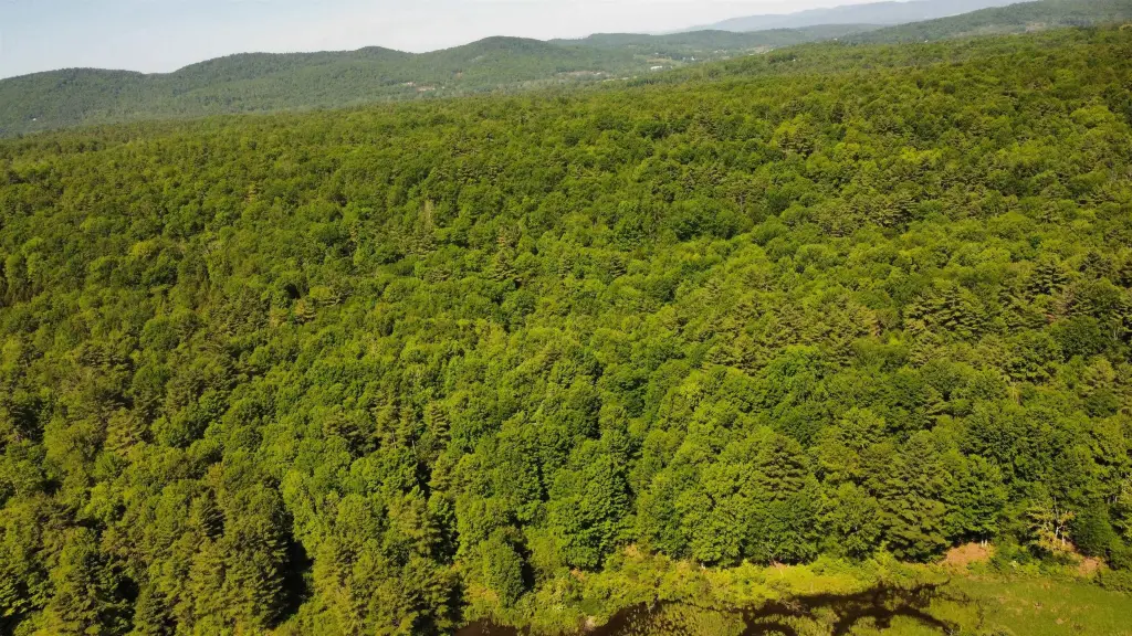
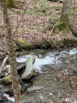
The property is a raw 38.36-acre land parcel in a rural zoning setting, featuring historic stone walls, dramatic ledge formations, and a large flowing stream. Two untouched green and gray slate quarries are located within the acreage. The land has multiple access points, including a primary vehicle entry from the state road and a decommissioned trail that runs through the property. No active utilities are currently listed.
Access is designed for flexibility, with frontage-style entry from the state road and an interior trail route that allows movement deeper into the acreage. The parcel is also located near regional outdoor recreation, including being approximately four miles from the Lake St. Catherine state boat launch, marina, and shores; seven miles from Lake St. Catherine State Park; and sixteen miles from Lake Bomoseen. Local hiking and biking opportunities are also described nearby.
For buyers and developers seeking a larger off-the-grid minded parcel, the combination of multiple access points, buildable sites, and distinct natural features like ledges, stone walls, stream, and slate quarries may support a range of private development concepts. With no active utilities currently in place, prospective purchasers should plan for utility strategy and site planning based on their intended build location across the acreage.
Key Highlights
- 38‑acre parcel featuring historic stone walls and dramatic ledge formations
- Large flowing stream on‑site that could be used for a future private pond
- Two untouched green and gray slate quarries within the acreage
Property Analytics
Property Profile
Location Intelligence
Current Use

Frequently Asked Questions
What type of property is this?
Mining land & claim - Raw rural acreage with slate quarries, stone walls, and multiple access points for flexible future development.
Where is this mining land & claim located?
The property is located at Bull Frog Hollow Road Wells, VT.
What is the asking price?
The asking price for this property is $165,000.
What are key features of this property?
This property features: 38‑acre parcel featuring historic stone walls and dramatic ledge formations; Large flowing stream on‑site that could be used for a future private pond; Two untouched green and gray slate quarries within the acreage


