ARBOR HILL RD, Staunton, VA 24401
- Added:
- Jun 16, 2026
- Days on Market:
- 3
- Last Refresh:
- Jun 18 at 12:06 am
Property Features for ARBOR HILL RD
General Information
- Property type
- Land
- Property subtype
- Other
- Standard status
- Active
- Lot size
- 66.47 Acres
Taxes and HOA fees
- Tax Year
- 2025
- Tax Description
- 64-90 E RT 795 KNOWN AS LOT 2 ON PLAT 14.986 ACRES 64-48 ON E SIDE RT 695 26.430 ACRES 64-90A E OF RT 795 KNOWN AS LOT 1 ON PLAT 13.123 ACRES 64-48A E OF RT 695 KNOWN AS LOT 3 11.929 ACS
- Tax Annual Amount
- 249
Listing agent KATIE GRIFFIN (540) 430-5788
Listing office MCCLURE REALTY COMPANY 50 MIDDLEBROOK AVE, STAUNTON, VA (540) 448-2928
Listing date Jun 16, 2026
Copyright © 2026 Greater Augusta Association of Realtors. All rights reserved. All information provided by the listing agent/broker is deemed reliable but is not guaranteed and should be independently verified.
HighLights
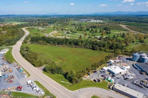
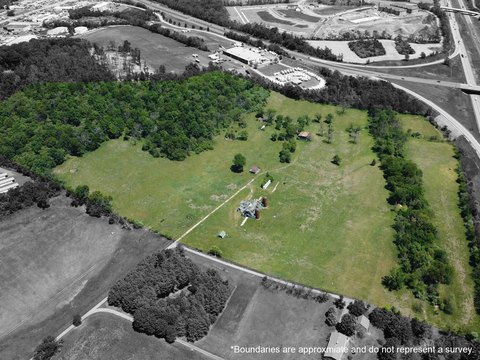
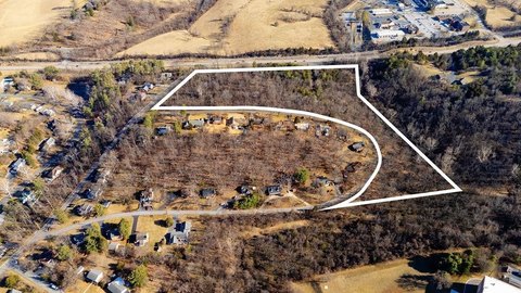
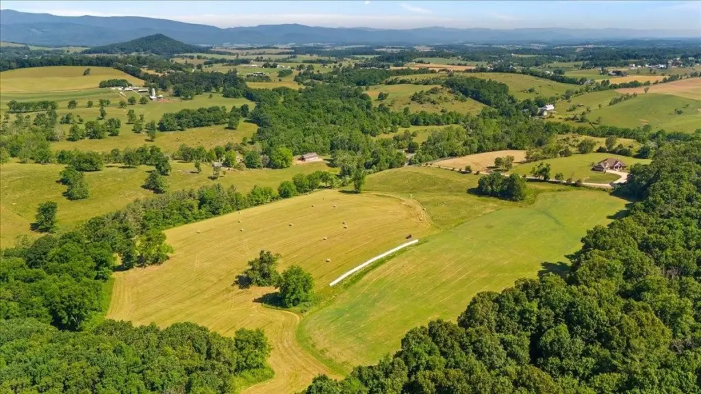
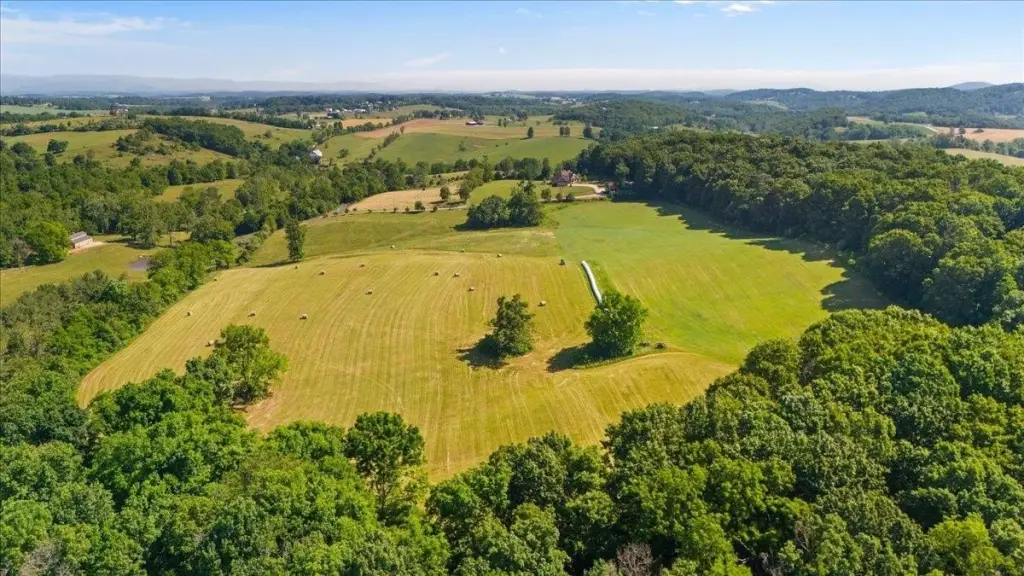
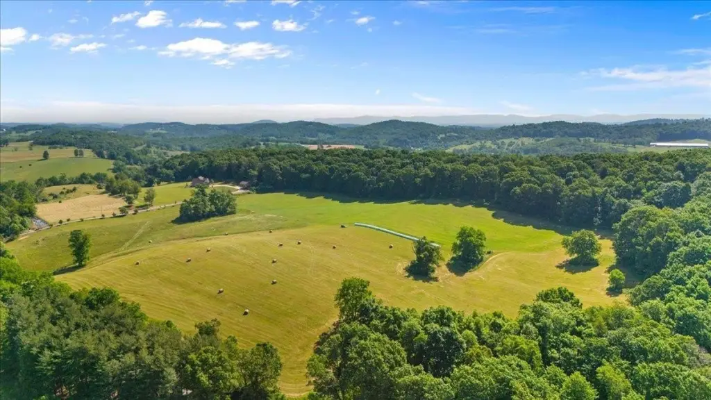
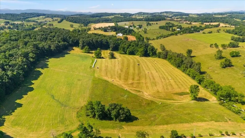
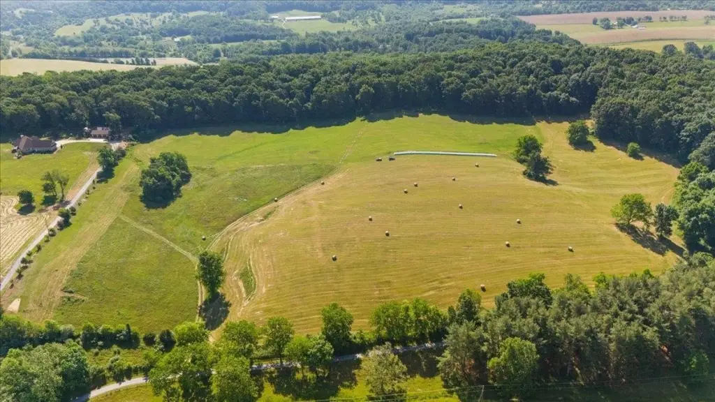
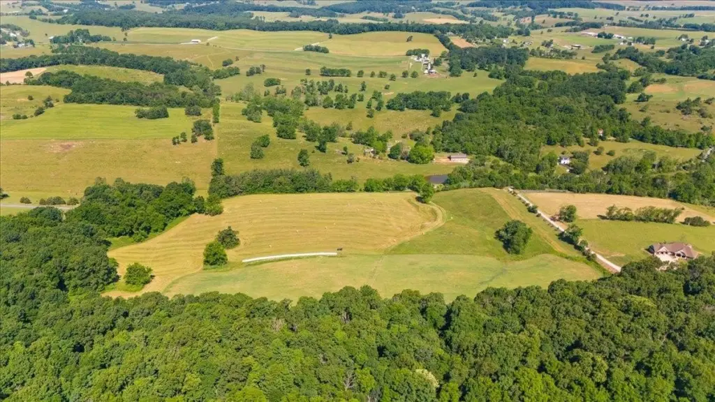
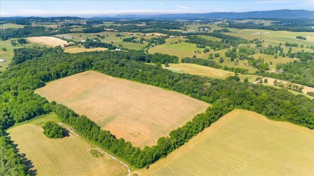
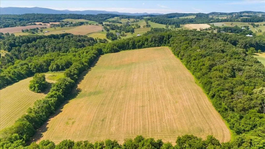
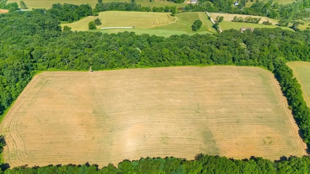
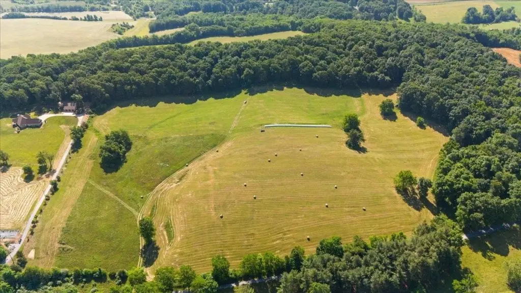
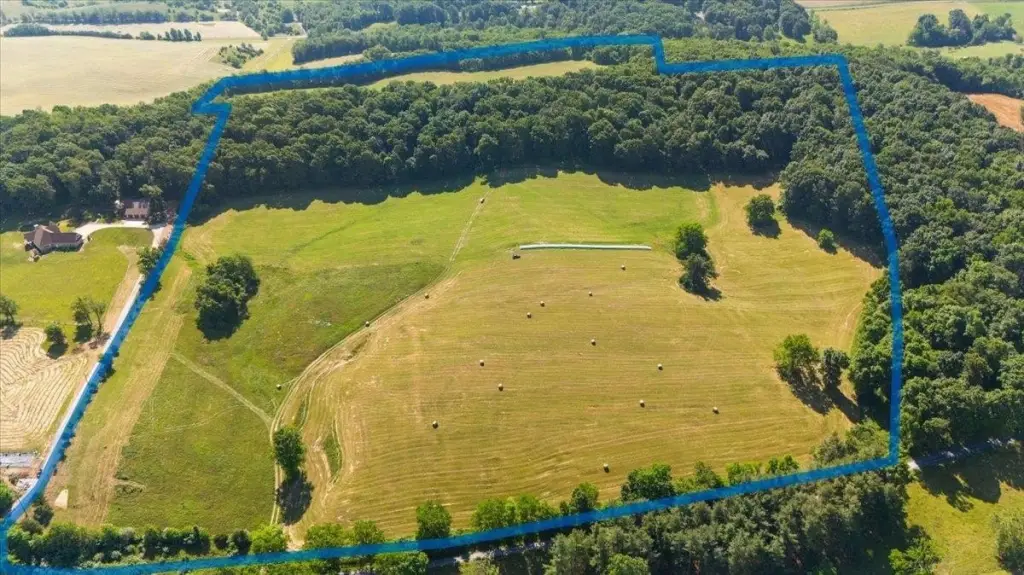
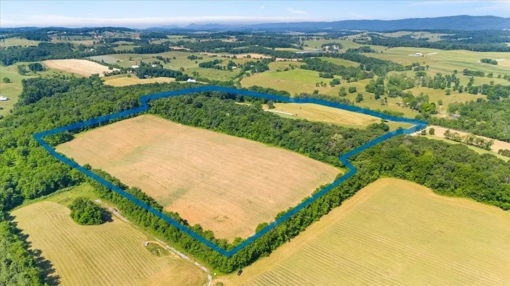
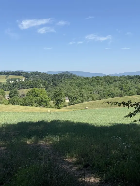
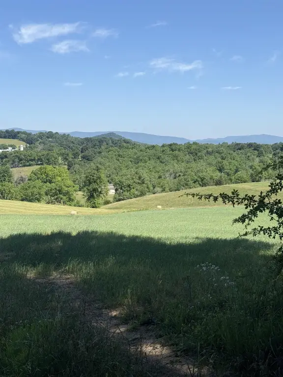
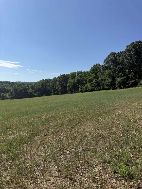
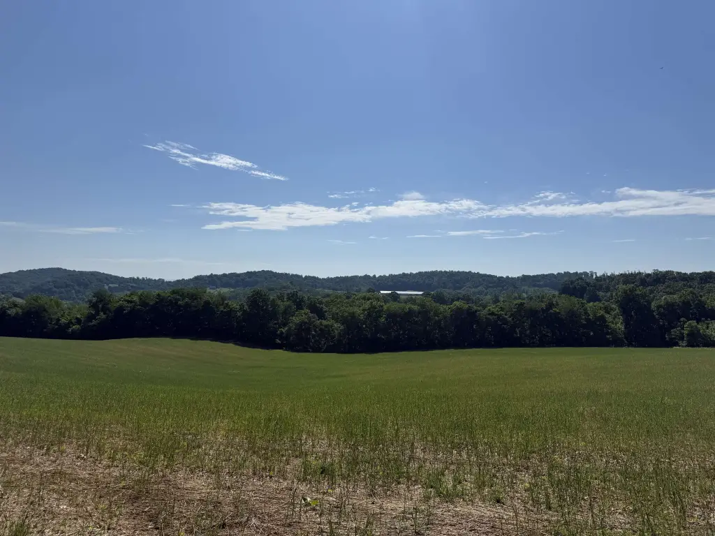
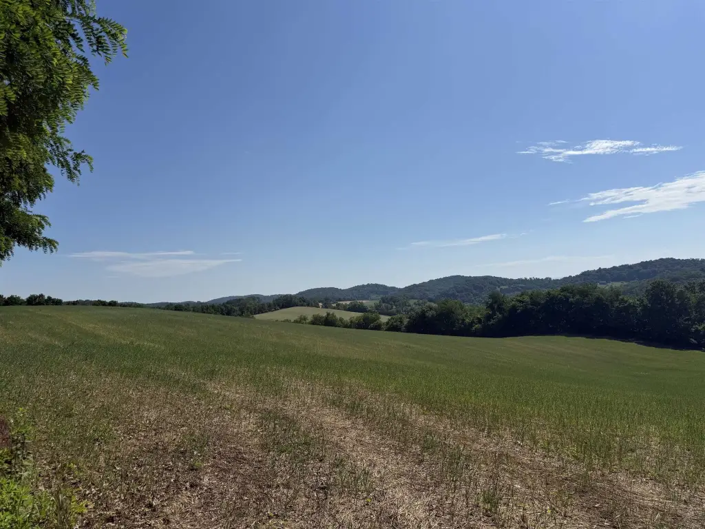
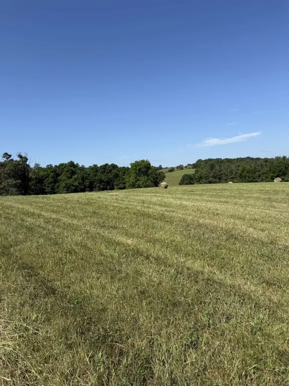
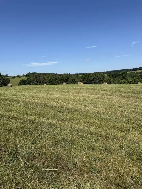
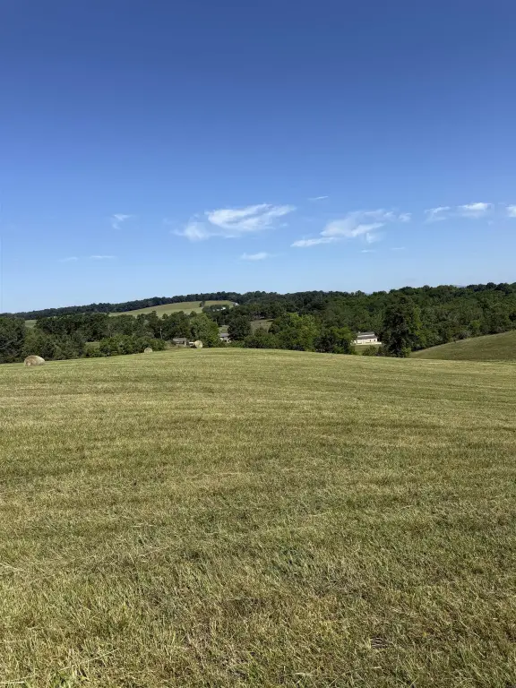
- 66.47‑acre property in the Arbor Hill area between Staunton and Middlebrook.
- Four adjoining tax parcels offered as one continuous tract.
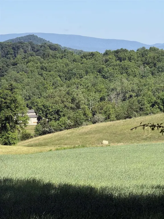
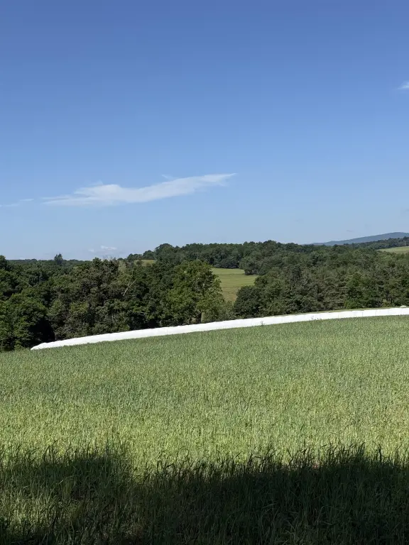
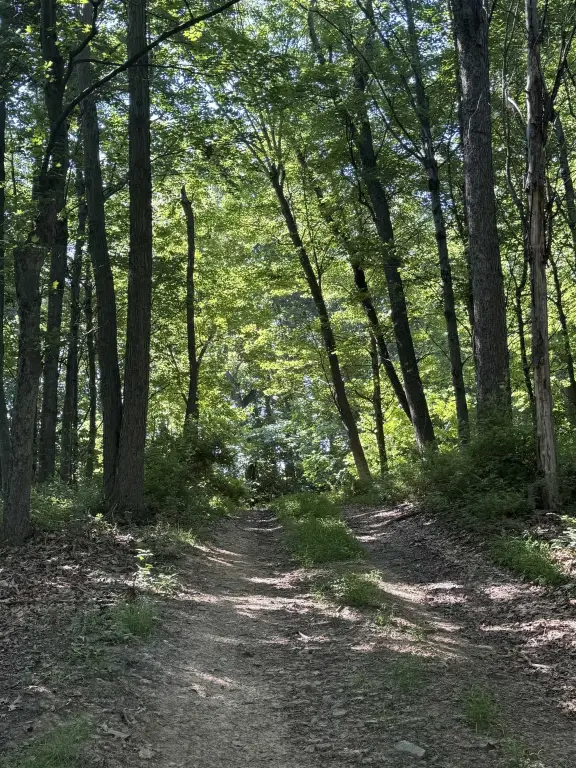
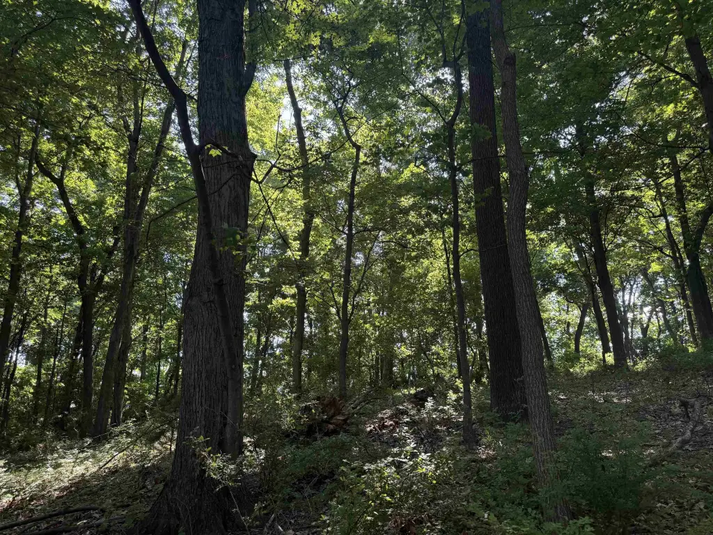
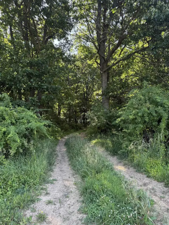
- Land includes open pastureland and mature woods.
- Currently farmed under an existing lease through the end of the year.
- Panoramic western views of Little North Mountain, Buffalo Gap, and Sugar Loaf Mountain; eastern views of the Blue Ridge Mountains.
Overview
Located in the Arbor Hill area, the property sits conveniently between Staunton and Middlebrook, with views described to include Little North Mountain, Buffalo Gap, and Sugar Loaf Mountain to the west, along with the Blue Ridge Mountains to the east. The site is identified at Arbor Hill Rd, Staunton, VA 24401.
For buyers and operators, the acreage and land mix support traditional agricultural use while also accommodating recreational and hunting preferences where pasture and timber both play a role. Because the land is under lease through the end of the year, prospective buyers should plan their timeline accordingly when considering transition to their intended use, whether that is expanding farming, recreational use, or developing a residence on acreage.
Current Use by Public Records
Map
- City
- Staunton
- County
- Staunton
- State
- Virginia
- Longitude
- -79.0738
- Latitude
- 38.1419