Commercial Land with Highway
For Sale
$1,200,000
9135 State Highway 34, Quinlan, TX 75474
Land, Quinlan, TX
Property SizeContact for details
Lot Size9.23 Acres
Days on Market95
Property Features for 9135 State Highway 34
General Information
Property type
Land
Property subtype
Other
Zoning description
Commercial Zoning
Vegetation
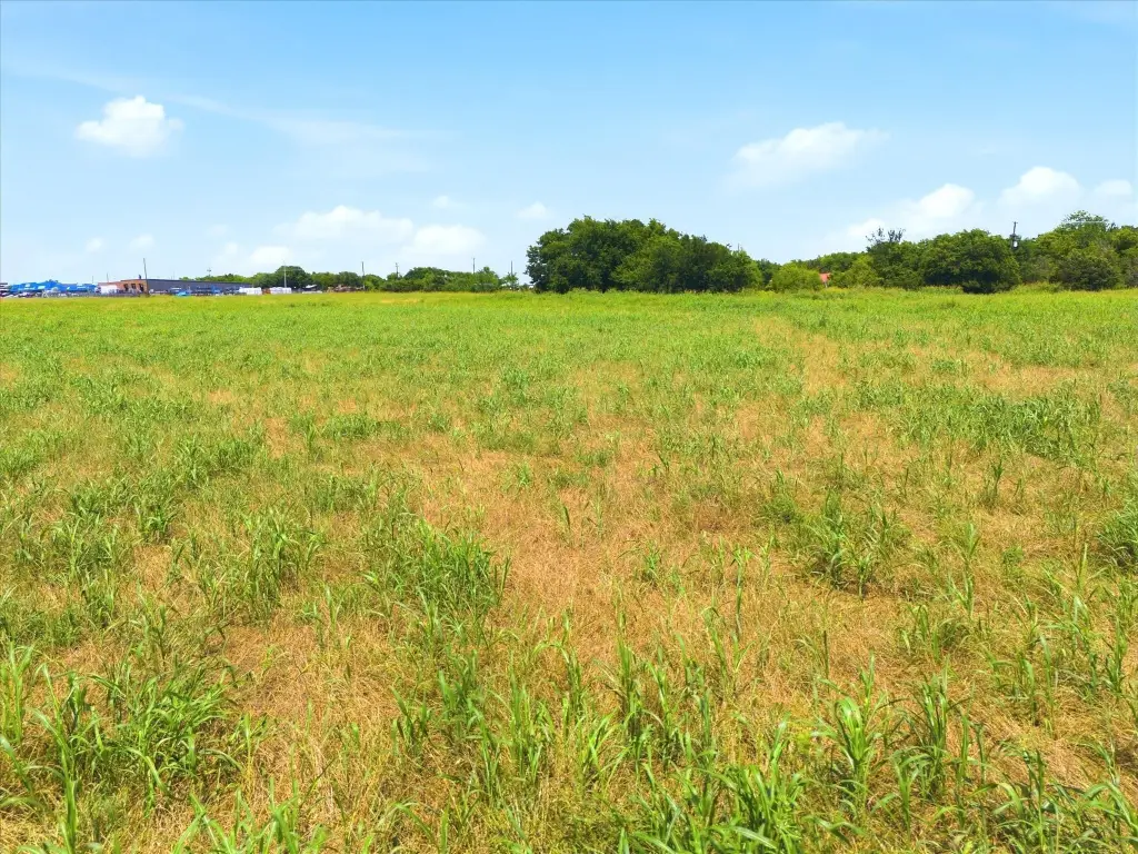
Cleared
Lot features
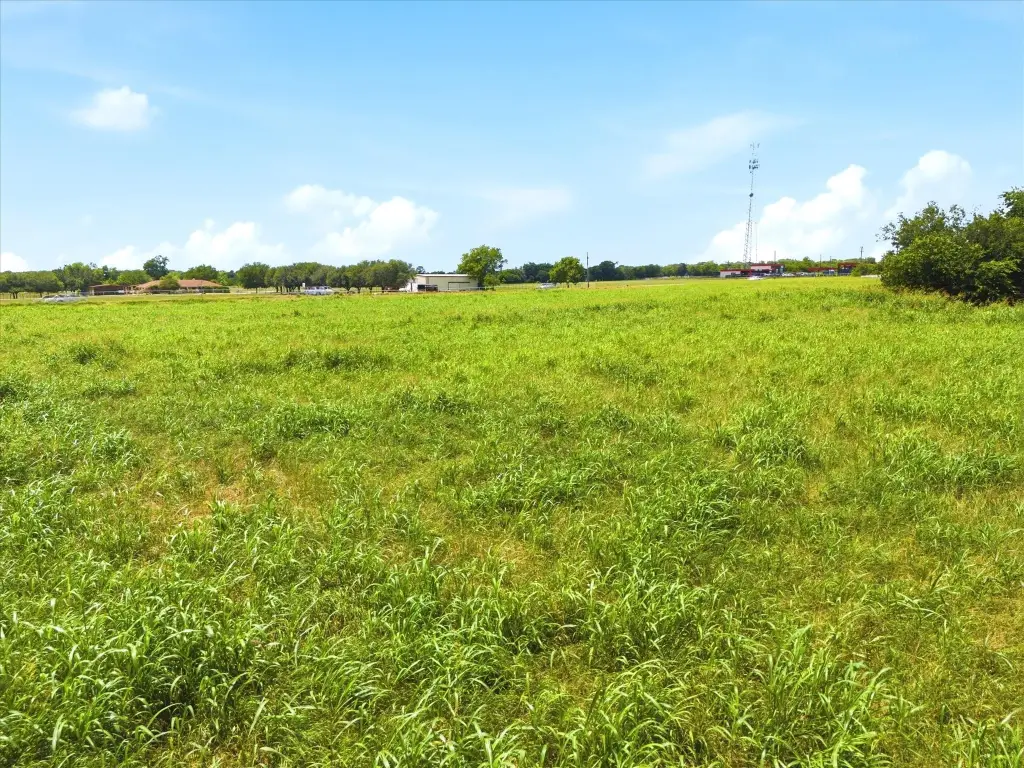
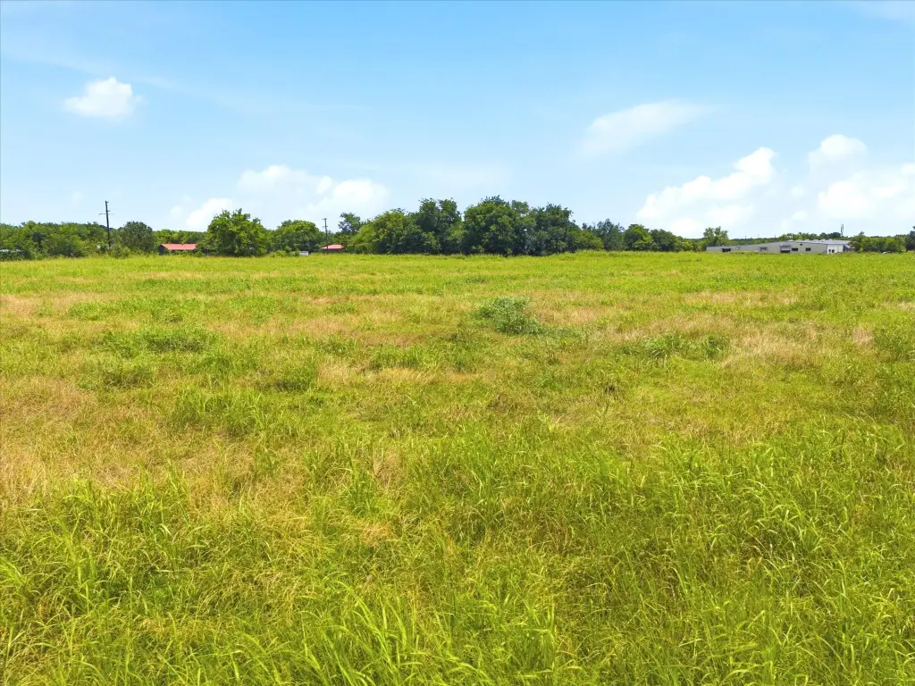
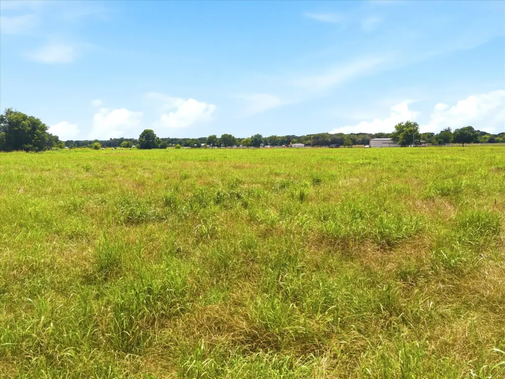
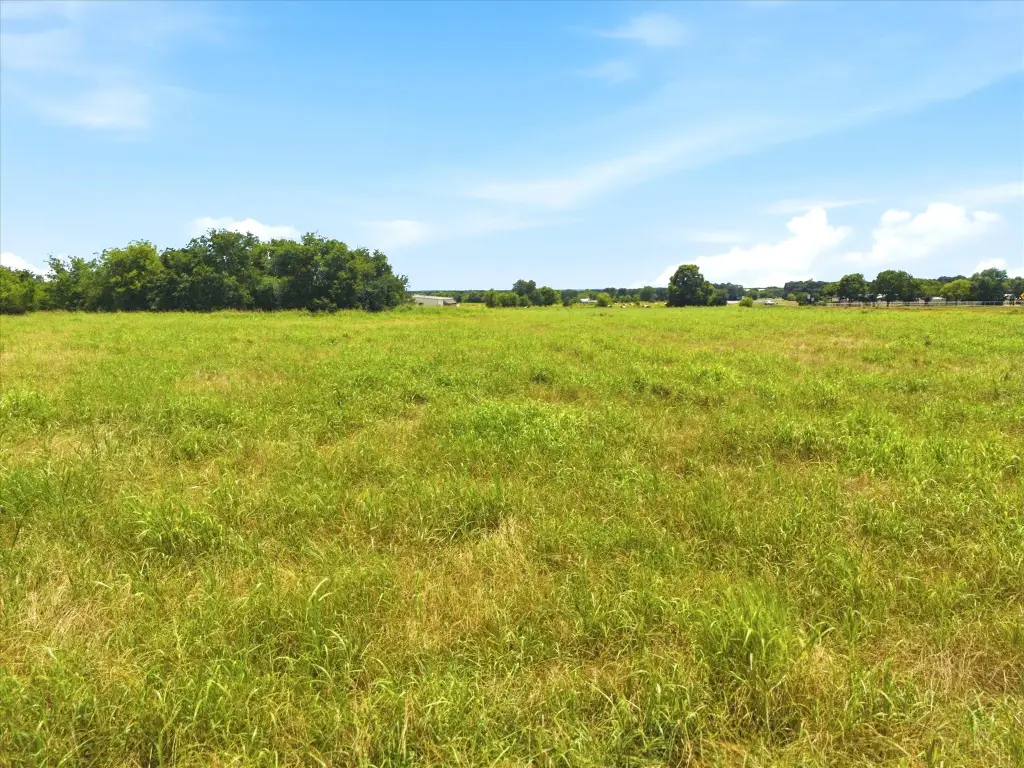
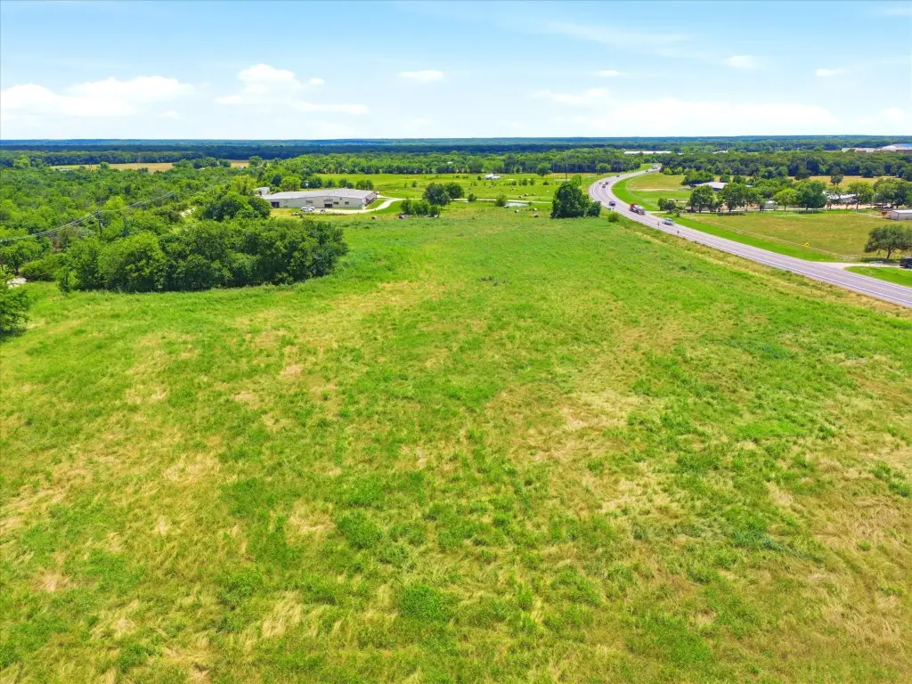
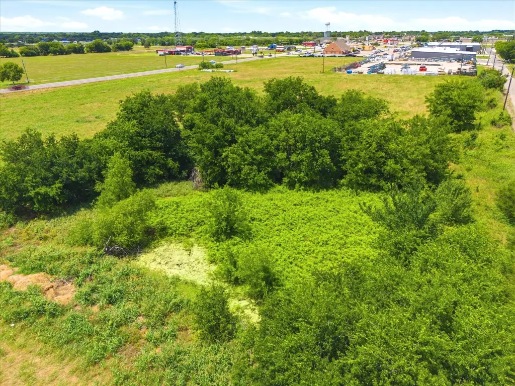
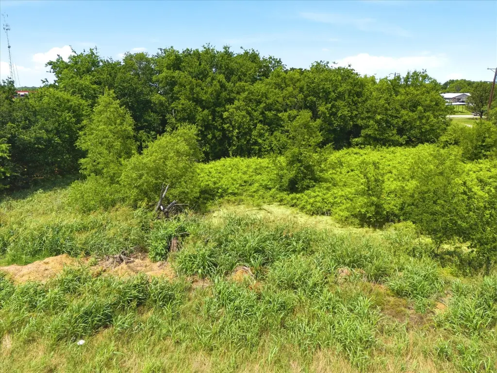
Acreage, Agricultural, Cleared, Pond On Lot, Few Trees, Level
Elementary school
Cannon
Middle school
Thompson,Butler
High school
Ford
Elementary school district
Quinlan ISD
Middle school district
Quinlan ISD
High school district
Quinlan ISD
Directions
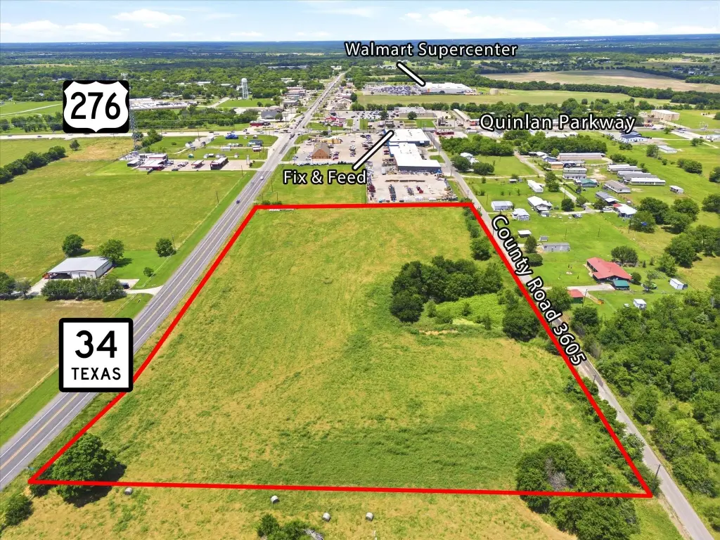
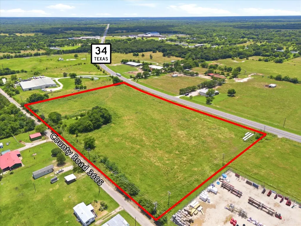
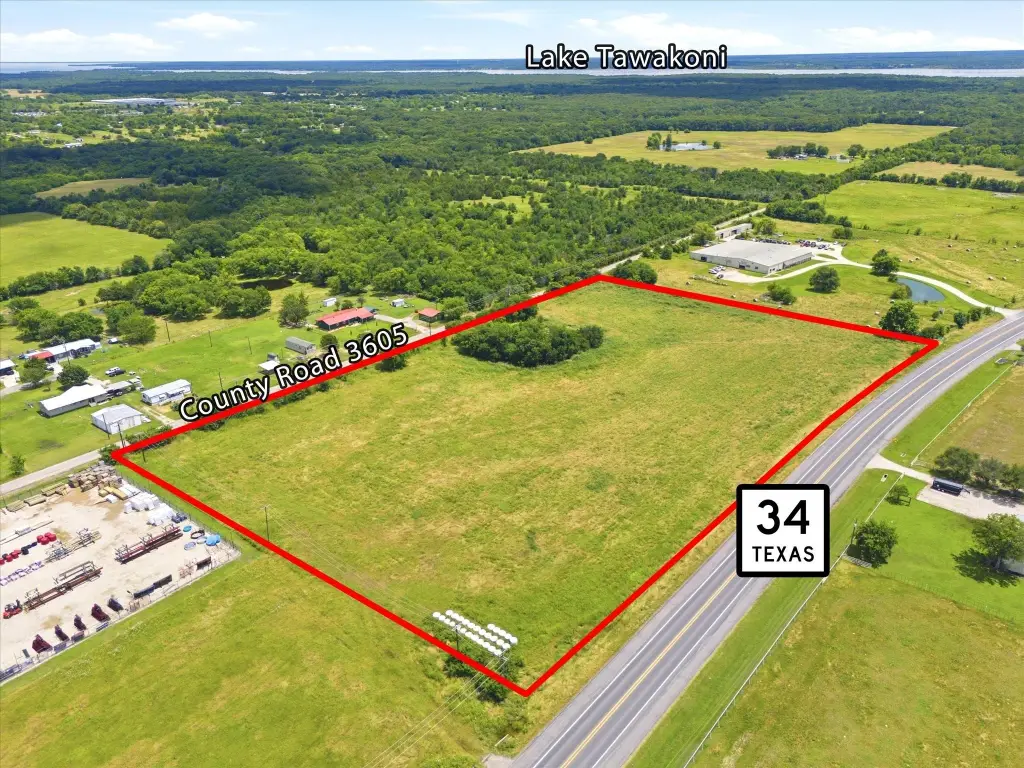
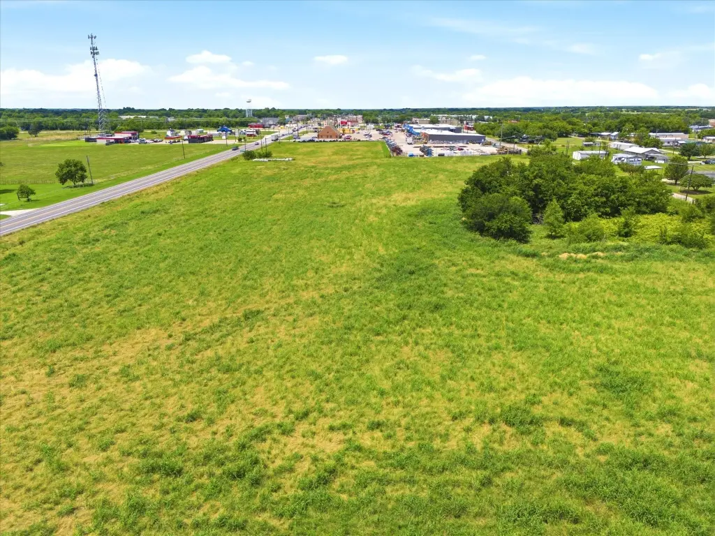
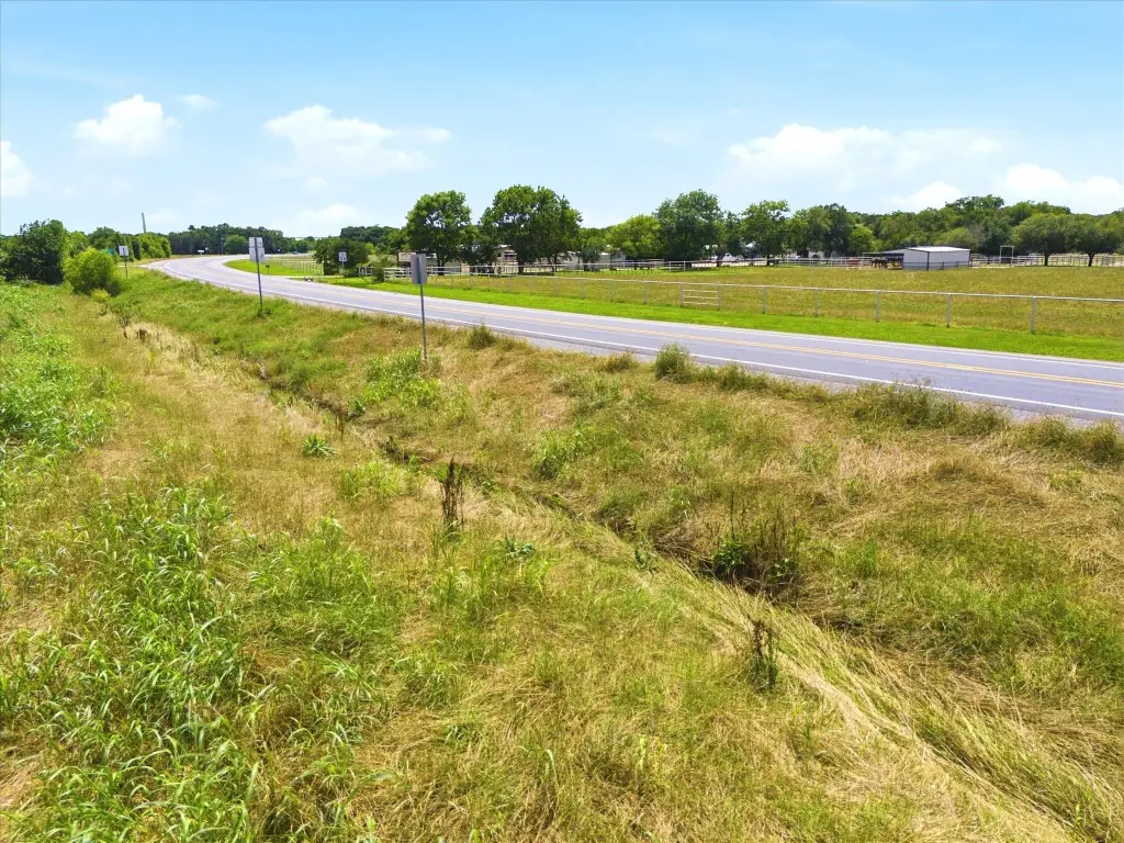
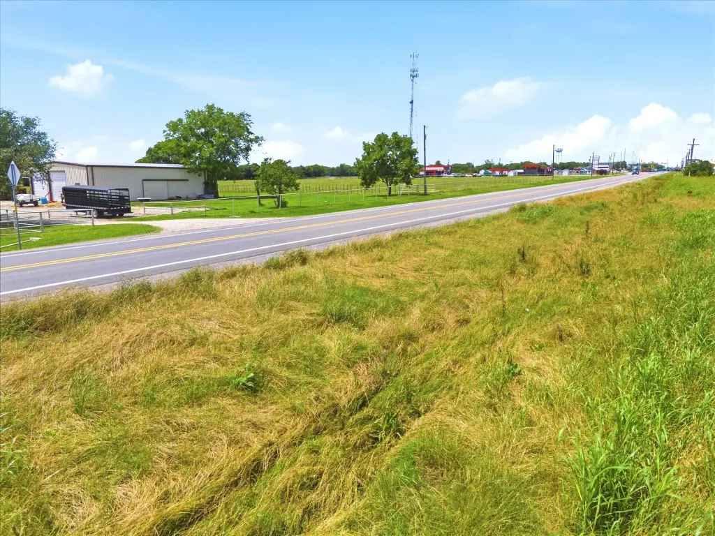
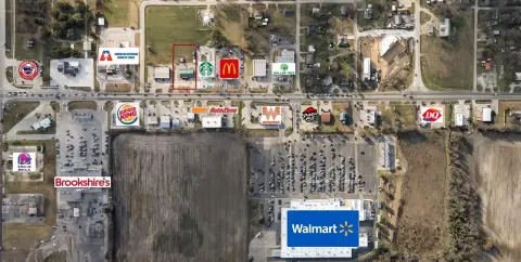
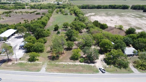
Located immediately south of the intersection of SH 276 Bypass & SH 34, on the east side of SH 34. Surveyor stakes marking the corners are visible. Look for the sign. You can view the back side of the property by driving down CR 3605 which runs North-South along the back of Fix & Feed retail center.
Standard status
Active
APN
108132
Lot size
9.23 Acres
Taxes and HOA fees
Tax Description
A0886 ROBERTS MARGARET, TRACT Y-2, ACRES 9.46
Tax Annual Amount
26
Legal Description
A0886 ROBERTS MARGARET, TRACT Y-2, ACRES 9.46
Utilities
Water source
Public
Listing Agency:
Sarah Boyd & Co
(940) 202-0028
Listed By:
Mica Pryor · License #0662424
(214) 649-4403
Added: Jun 11
Changed: Sep 2
Last Checked: Sep 13 at 5:06AM
MLS# 21282605
Copyright © 2026 North Texas Real Estate Information Systems, Inc. All rights reserved. All information provided by the listing agent/broker is deemed reliable but is not guaranteed and should be independently verified.
Investment Insights
Based on property information with market context.
This 9.226-acre commercial land tract is within Quinlan city limits and carries commercial zoning. The property has level topography, a stock tank, no floodplain, and no deed restrictions. Public water is available through an 8-inch line along the SH 34 boundary, with electric service also extending along that frontage. City sewer currently terminates near the northeast corner.
The site offers 822 feet along SH 34 and 833 feet on CR 3605, creating potential access from both roads. It is positioned immediately south of the SH 276 bypass intersection and next to the Fix & Feed retail center. The intersection is estimated to see 20,000 vehicles daily and serves north-south travel between Greenville and Terrell as well as east-west movement between Rockwall and Lake Tawakoni.
The existing agricultural exemption may be maintained, while the commercial zoning supports consideration of retail, restaurant, medical, office, fuel and convenience, hotel, mixed-use, or light industrial development, subject to applicable approvals.
The site offers 822 feet along SH 34 and 833 feet on CR 3605, creating potential access from both roads. It is positioned immediately south of the SH 276 bypass intersection and next to the Fix & Feed retail center. The intersection is estimated to see 20,000 vehicles daily and serves north-south travel between Greenville and Terrell as well as east-west movement between Rockwall and Lake Tawakoni.
The existing agricultural exemption may be maintained, while the commercial zoning supports consideration of retail, restaurant, medical, office, fuel and convenience, hotel, mixed-use, or light industrial development, subject to applicable approvals.
Key Highlights
- 9.226‑acre commercial tract within Quinlan city limits
- Commercial zoning in place with no deed restrictions
- 822 feet of frontage on SH 34 and 833 feet on CR 3605
Property Analytics
Unlock full access to Insights
Subscribe to Realmo Intelligence
Open Analytics
Current Use
Lease Details
20,000 VPD
Traffic count
Yes
Highway access
Yes
Paved road access
Yes
Utilities to site
Location Intelligence
Trade Area within ½ mile
172
Businesses Nearby
Explore this area
Business Placement
Demographics for 75474, TX
16,010
Population
7,115
Households
2.3
Avg Household Size
44
Median Age
17%
College-Educated
82%
High-School Grad
105.3 sq mi
ZIP Area
152
Density / Sq Mi
$66,299
Median Household Income
$35,770
Median Earnings
$1,101
Median Rent
$169,800
Median Home Value
Check the figures for this property
Cap Rate, Value Estimation, Potential NOI and more
View Realmo Analytics

Questions? Ask Rey
Realmo’s AI knows this listing — price, zoning, demand, history. Ask anything.





Frequently Asked Questions
What type of property is this?
Commercial land - Level development tract with commercial zoning, public water, electric service, and access from two roadways.
Where is this commercial land located?
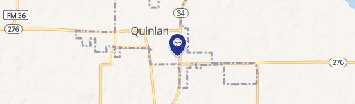
The property is located at 9135 State Highway 34 Quinlan, TX.
What is the asking price?
The asking price for this property is $1,200,000.
What are key features of this property?
This property features: 9.226‑acre commercial tract within Quinlan city limits; Commercial zoning in place with no deed restrictions; 822 feet of frontage on SH 34 and 833 feet on CR 3605


