Forested Recreational Land
843 River Road Troy, VT 05859

843 River Road, Troy, VT, 05859
$214,900
For Sale
$214,900
LAND - Troy, VT
Lot Size56.00 Acres
Days on Market97
Property Features for 843 River Road
General Information
- Property type
- Land
- Property subtype
- Other
- Zoning
- Troy
- Standard status
- Active
- Lot size
- 56.00 Acres
Taxes and HOA fees
- Tax Year
- 225
- Tax Annual Amount
- 241
Listing Agency
Century 21 Farm & Forest
(802) 334-1200
34 Up North Dr, Derby, VT
Listed by
Meghan Gyles
(802) 334-1200
Added: Apr 15 Checked: Jul 20 at 11:06 am
MLS# 5083637
Listing URL
Copyright © 2026 PrimeMLS. All rights reserved. All information provided by the listing agent/broker is deemed reliable but is not guaranteed and should be independently verified.
Investment Insights
Based on property information with market context.
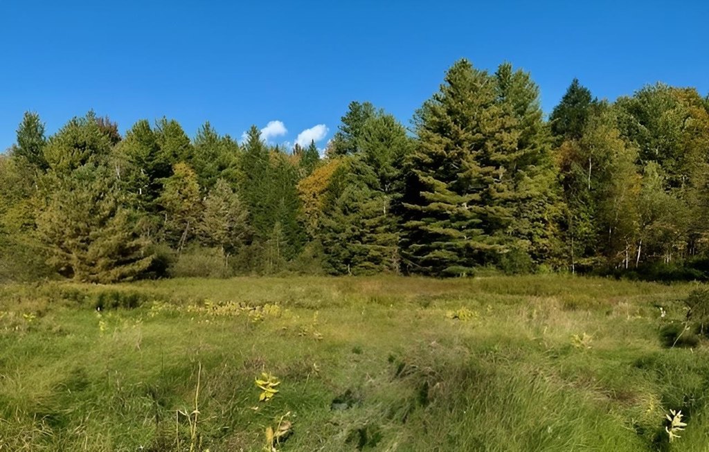
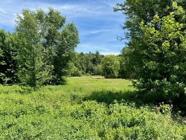
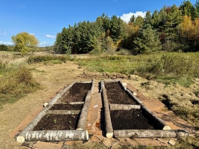
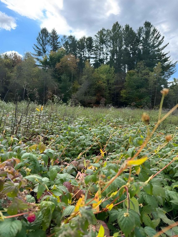
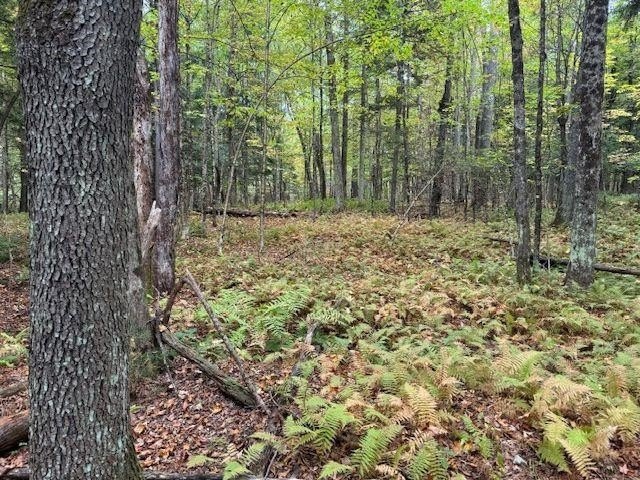
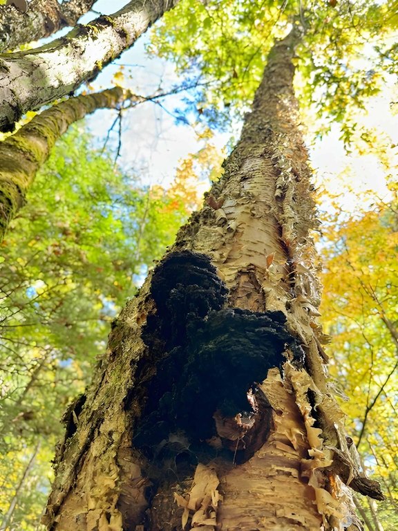
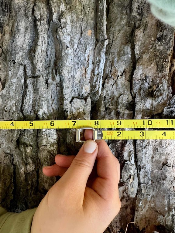
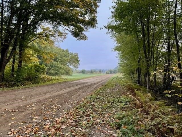
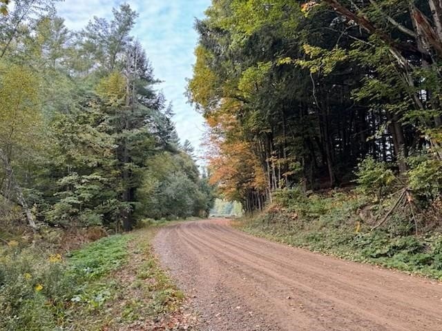
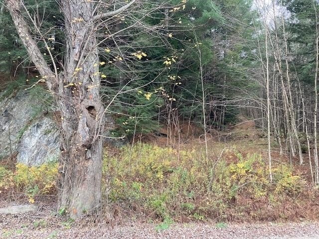
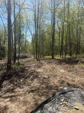
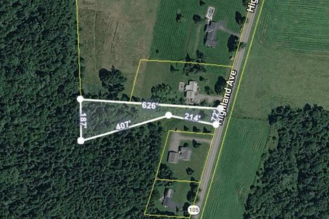
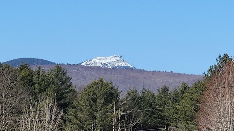
This 56-acre parcel is mostly forested with approximately 5 acres of meadow and is carried in current use. The property features two access roads, including a north-side road leading to a flat area that could accommodate building with a ShelterCoat 13x28 wind- and snow-rated garage. A second road runs through the middle of the parcel and would need improvement for easy driving. The woodland includes a mix of mature species such as ash, wild cherry, white pines, maple estimated over 200 years old, birch, hemlock, spruce, and aspen, along with established and recently planted edible, medicinal, and ornamental plantings.
Recreation access is supported by nearby outdoor amenities. Big Falls State Park is within about a 1/4-mile walk, and the Mississquoi River is across the road, offering opportunities for fishing, swimming, and kayaking. The setting is described as offering mountain views and a quiet, private feel with convenient access to nearby community amenities.
The mix of mostly-timbered acreage and a meadow opening makes this property workable for a homestead concept, timber-focused ownership, or land-based hobby farming such as sugaring. With two access points, it also lends itself to flexible planning for how you use and develop the site, subject to the condition of the second access road.
Key Highlights
- 56‑acre parcel, mostly forested with 5 acres of meadow, all in current use
- Two access roads: one north‑side flat area with potential for building
- Timber variety includes mature ash and wild cherry, huge white pines, maple estimated over 200 years old, and hemlock
Property Analytics
Property Profile
Location Intelligence
Current Use by Public Records
Hunting land
Similar For Sale Nearby

FAQs
What type of property is this?
Agricultural land / Farmland - Mostly forest with meadow and two access roads, offering a secluded setting near Big Falls State Park and the Mississquoi River.
Where is this agricultural land / farmland located?
The property is located at 843 River Road Troy, VT.
What is the asking price?
The asking price for this property is $214,900.
What are key features of this property?
This property features: 56‑acre parcel, mostly forested with 5 acres of meadow, all in current use; Two access roads: one north‑side flat area with potential for building; Timber variety includes mature ash and wild cherry, huge white pines, maple estimated over 200 years old, and hemlock


