Ranch Land with Hunting
8400 County Road 201 Brownwood, TX 76801
For Sale
Under Contract
$996,525
LAND - Brownwood, TX
Lot Size154.50 Acres
Days on Market55
Property Features for 8400 County Road 201
General Information
- Property type
- Land
- Property subtype
- Other
- Vegetation
- Wooded, Brush
- Standard status
- Active Under Contract
- APN
- 000000034377
- Lot size
- 154.50 Acres
Taxes and HOA fees
- Tax Description
- ROSANNA CLIFTON, SURVEY 299, ABSTRACT 1203, A
- Tax Annual Amount
- 420
Utilities
- Sewer type
- Septic Tank
Listing Agency:
COLTON HUTCHINS-BROKER
(325) 305-0916
Listed By:
Colton Hutchins
(325) 305-0916
Added: Jun 2
Changed: Jul 24
Last Checked: Jul 26 at 9:06PM
MLS# 21116338
Copyright © 2026 North Texas Real Estate Information Systems, Inc. All rights reserved. All information provided by the listing agent/broker is deemed reliable but is not guaranteed and should be independently verified.
Investment Insights
Based on property information with market context.
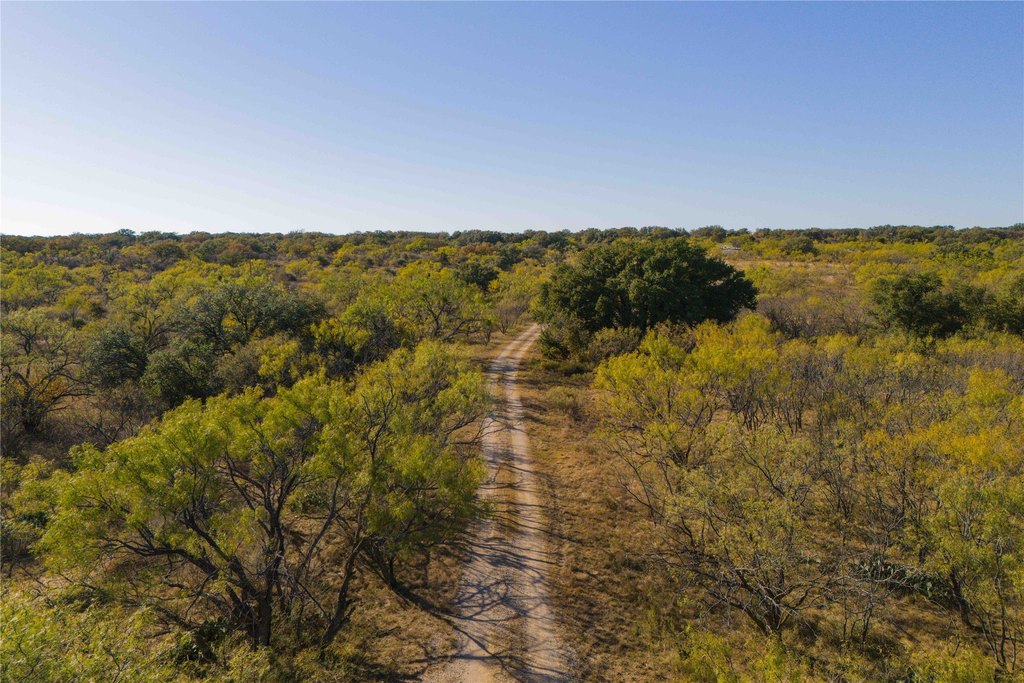
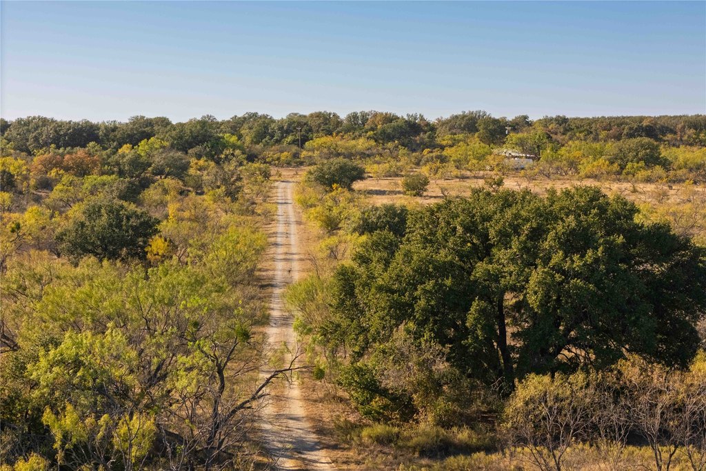
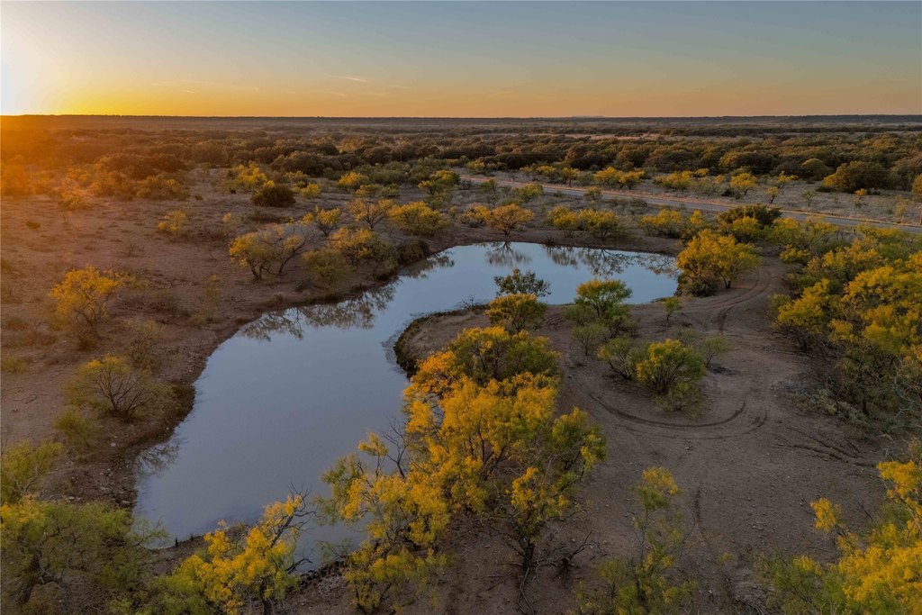
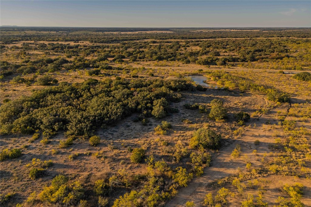
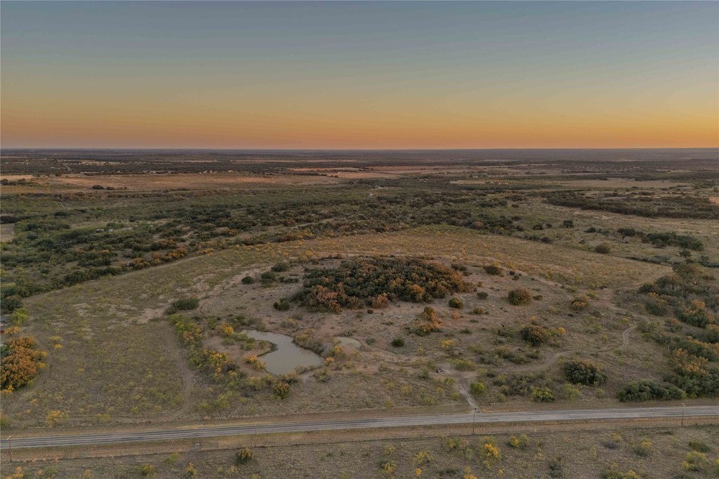
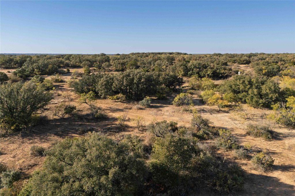
Centennial Ridge Ranch offers 154.5+/- acres with multiple access points, including frontage on FM 1176 and County Road 201. The property has water, electricity, and an on-site septic system already in place, supporting convenient use for recreation or country living.
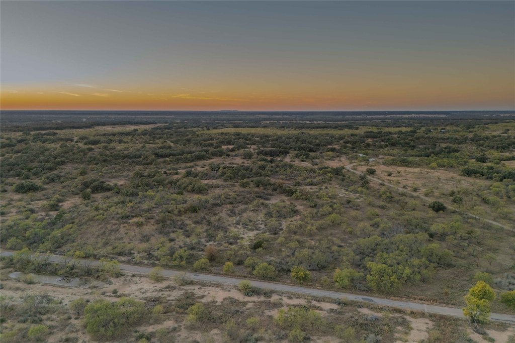
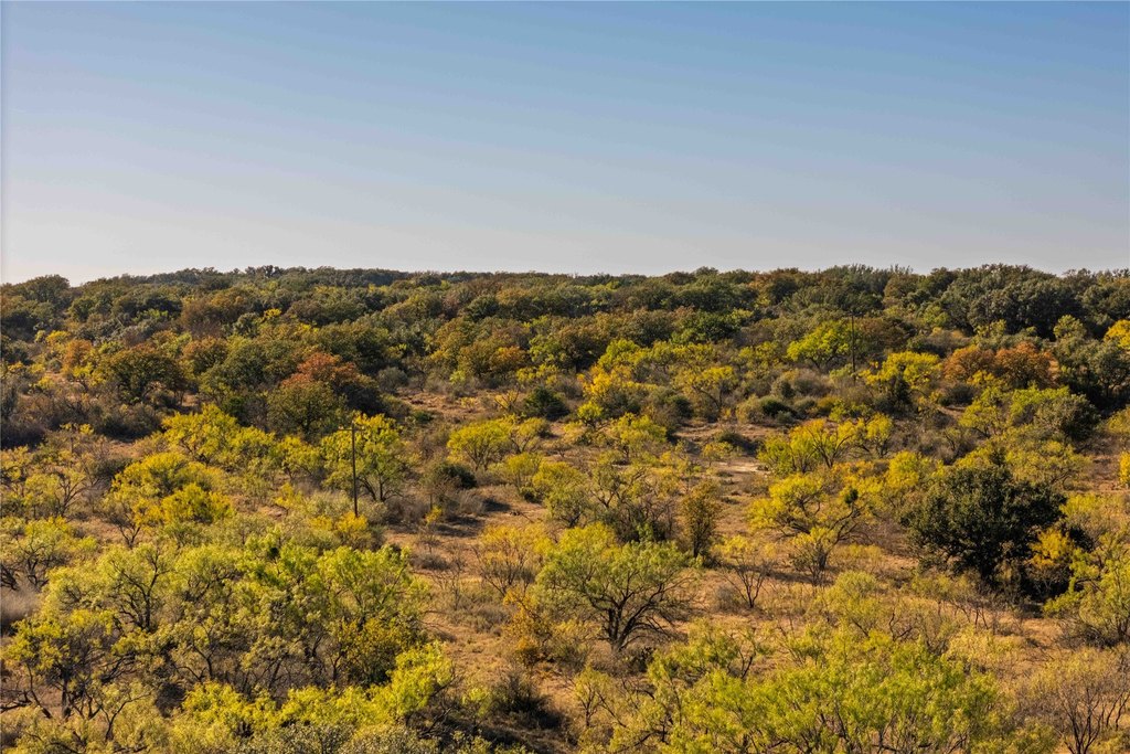
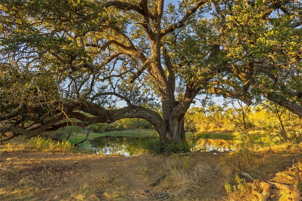
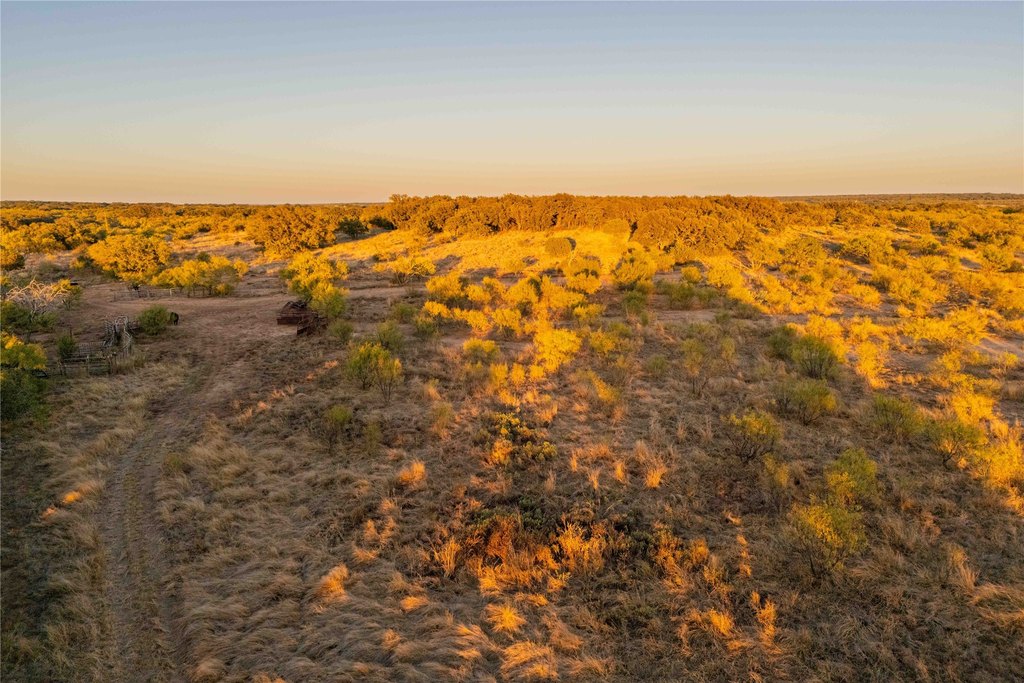
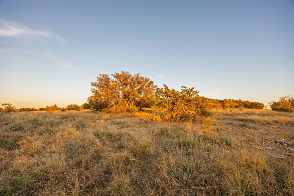
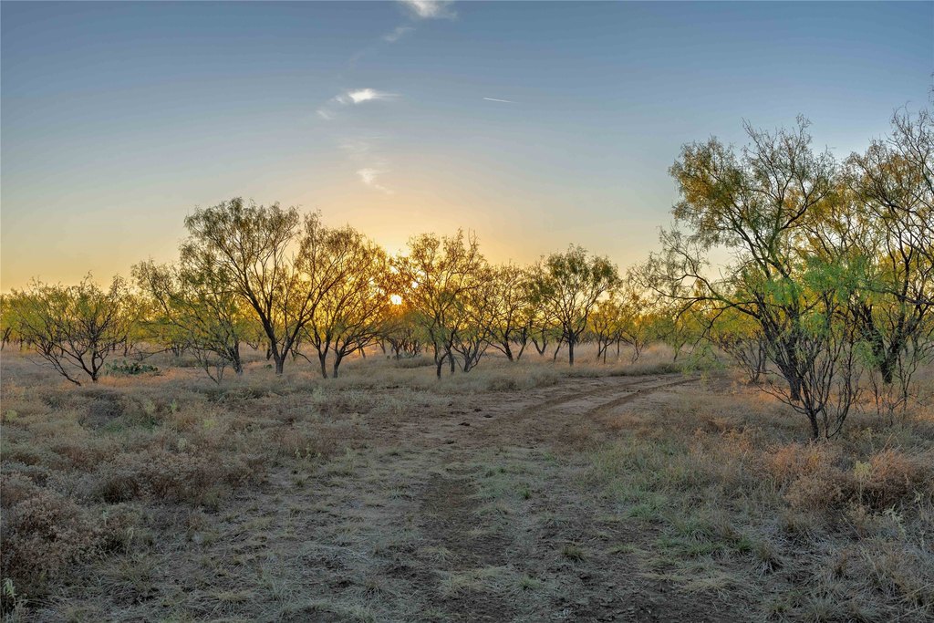
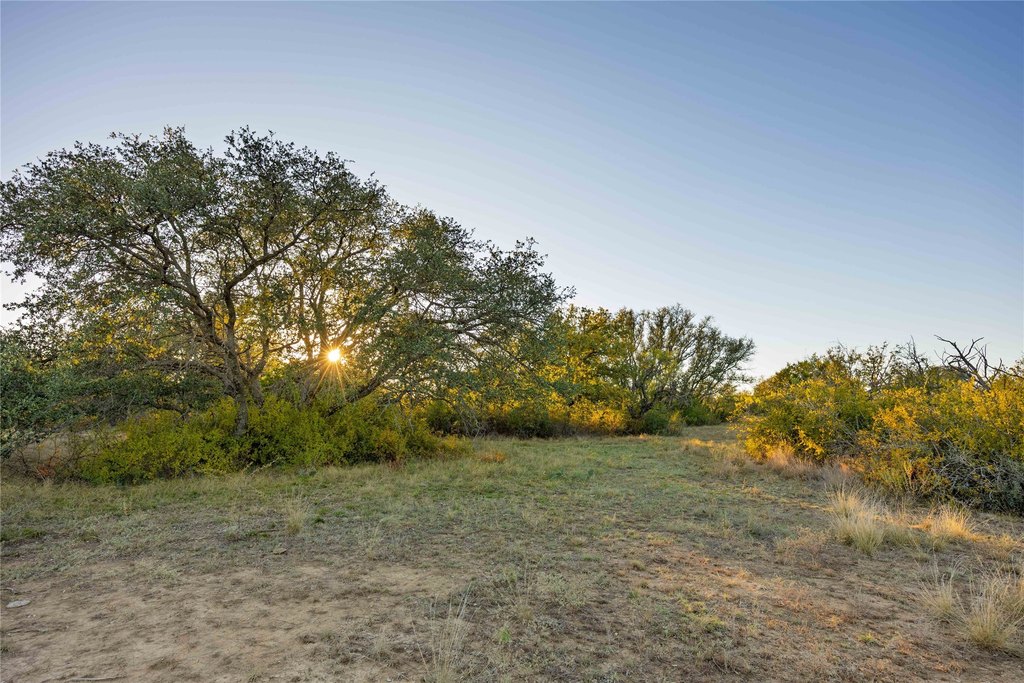
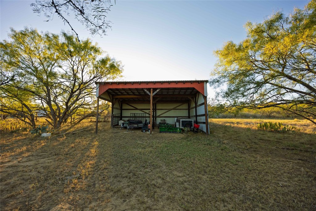
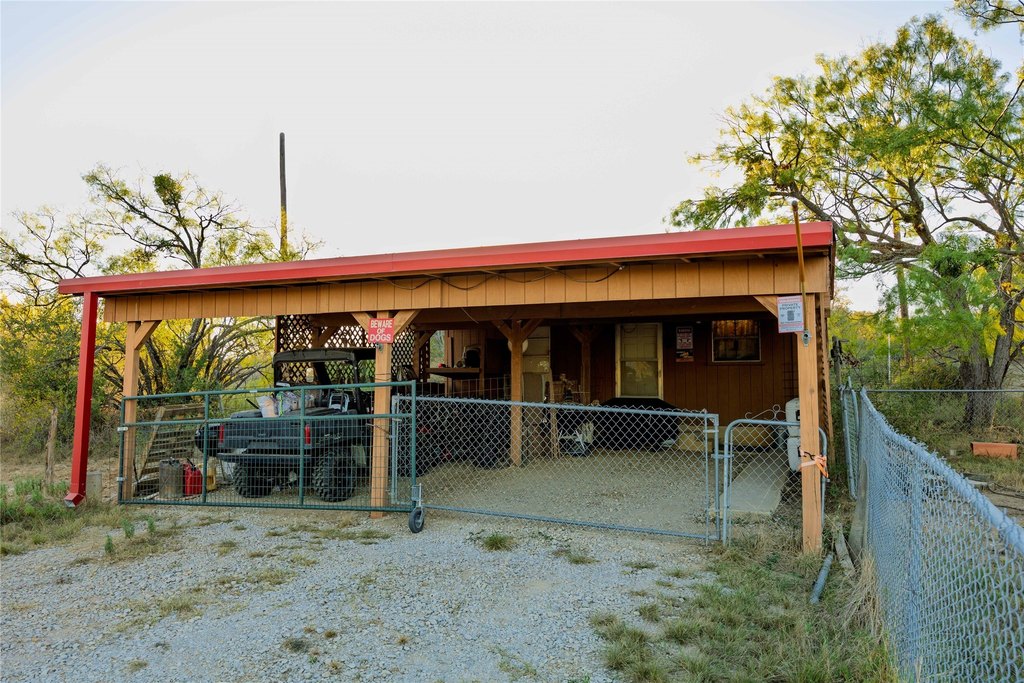
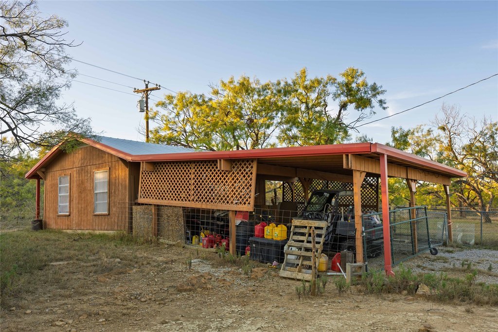
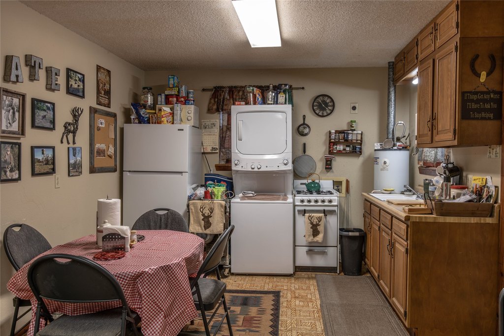
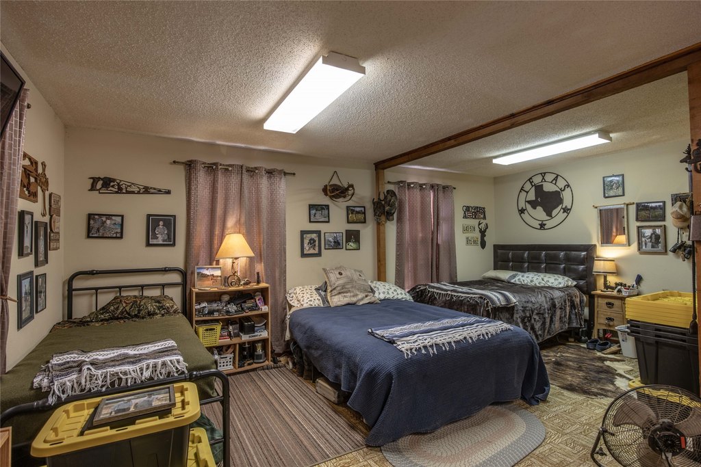
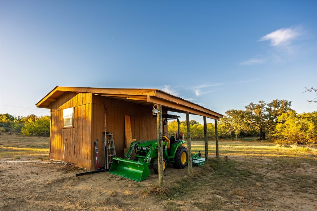
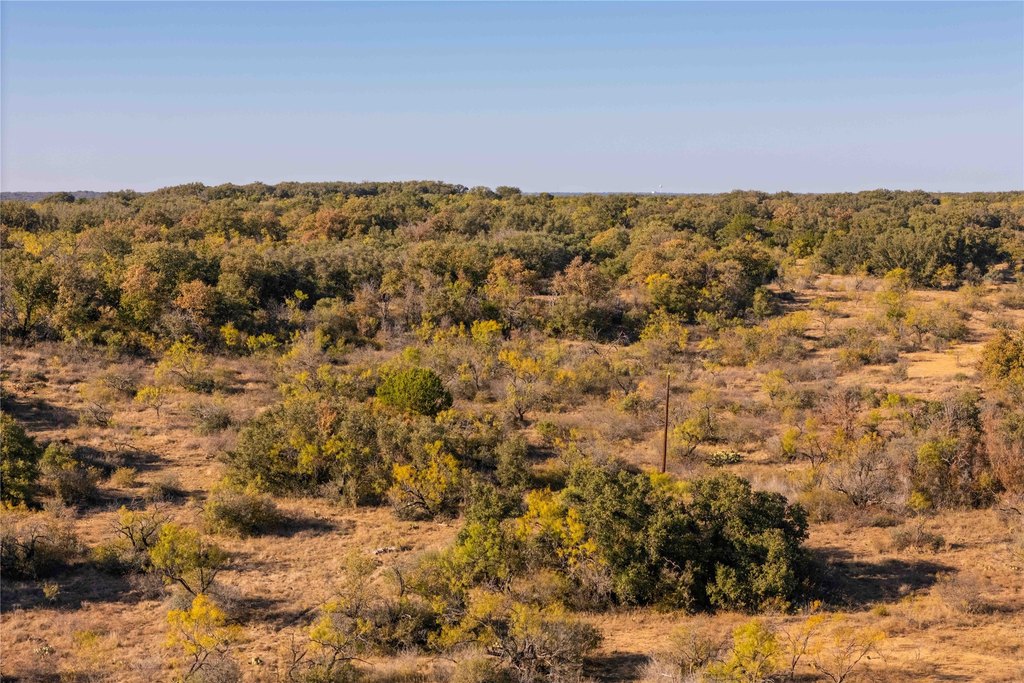
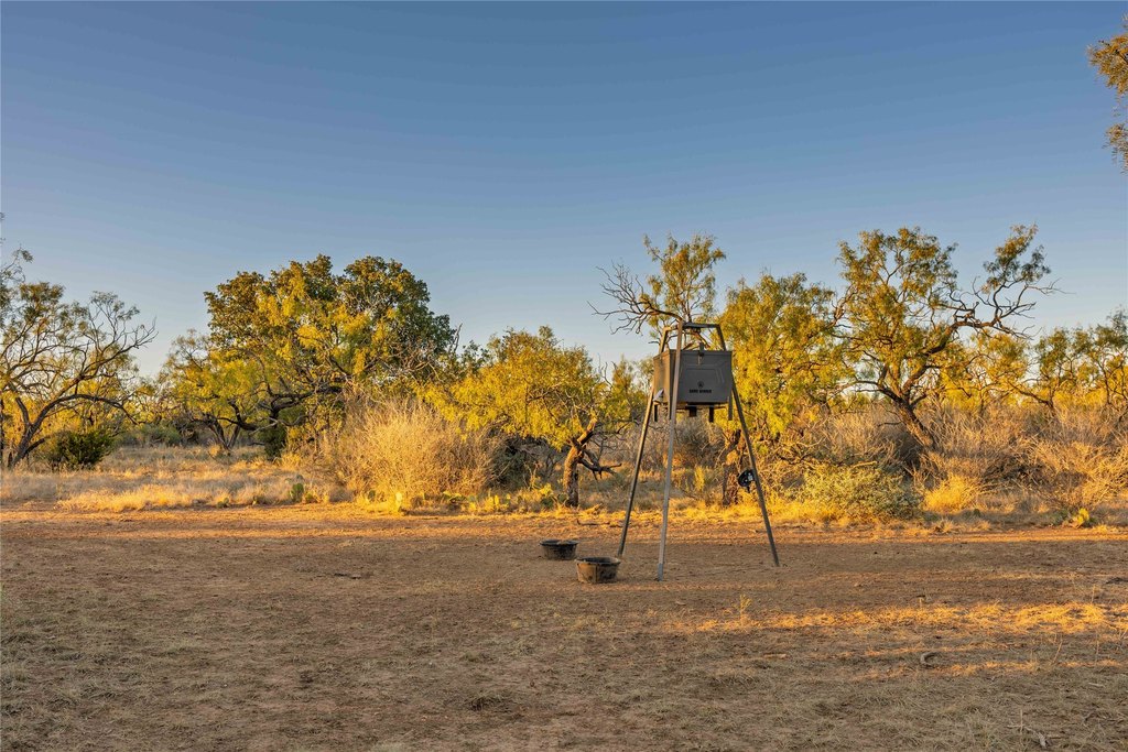
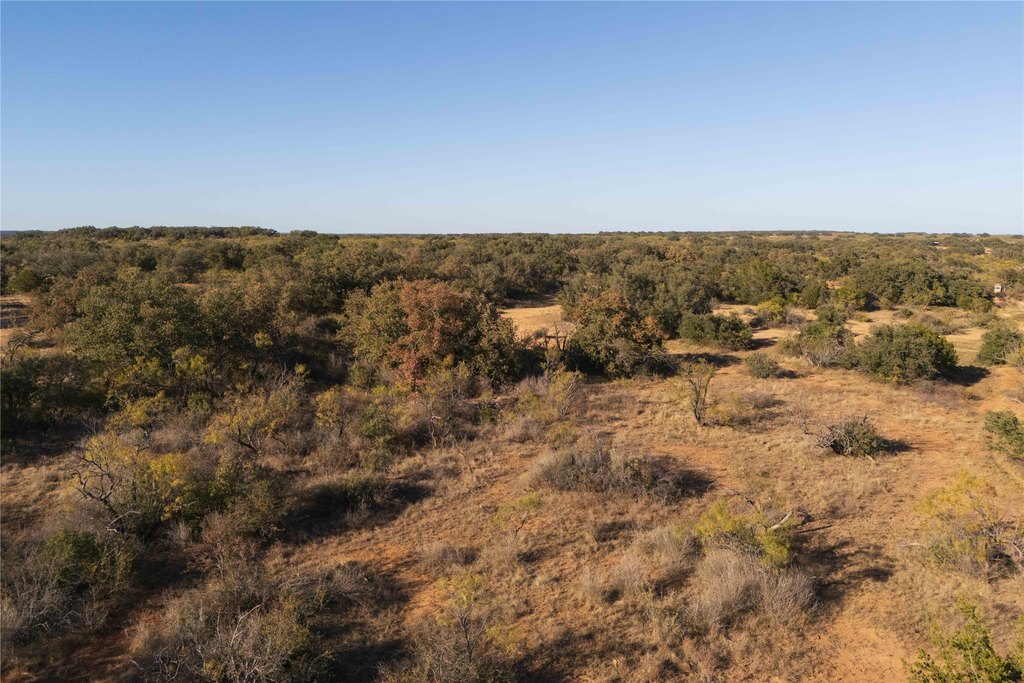
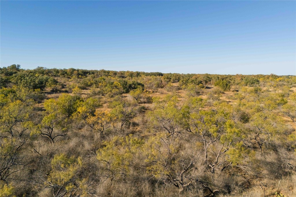
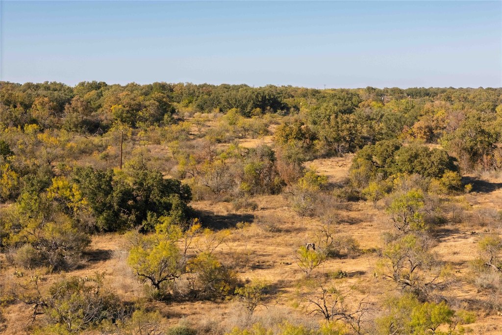
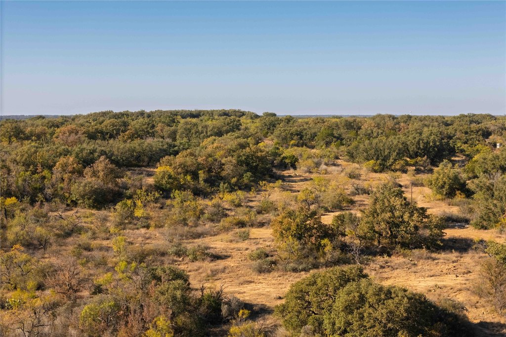
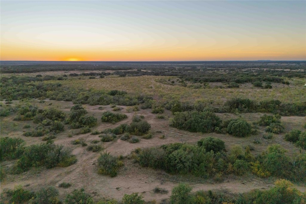
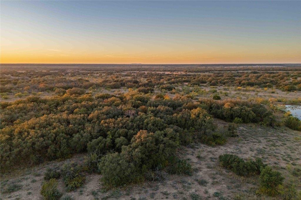
Improvements include a 20x30 metal implement barn, a 440-square-foot hunting cabin, and a 10x20 storage shed. Terrain varies by approximately 90 feet, with a mix of open pasture, wooded cover, and elevated viewpoints.
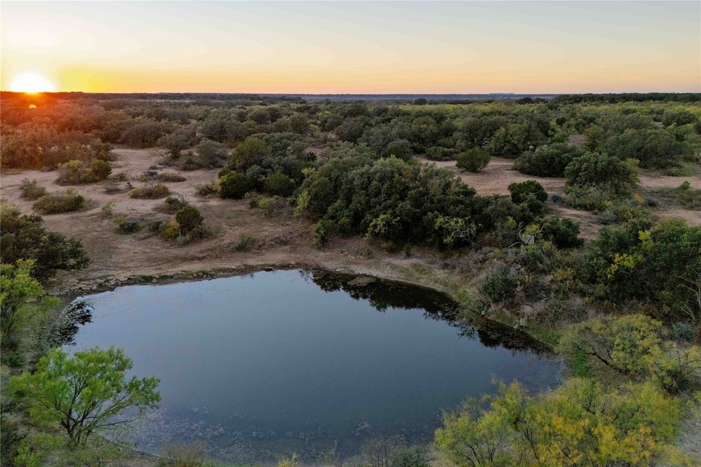
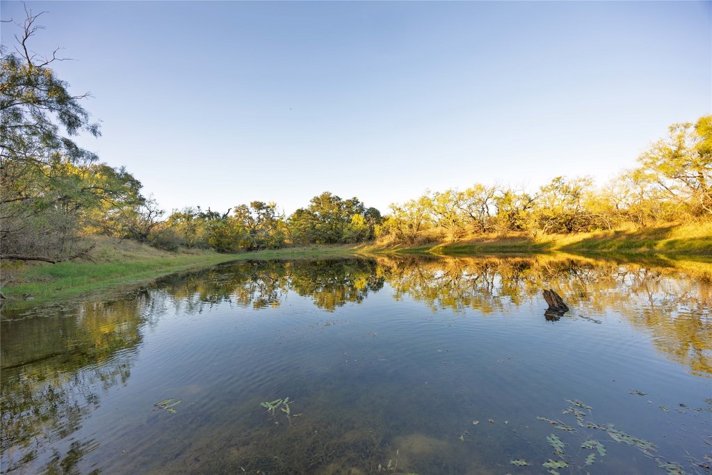
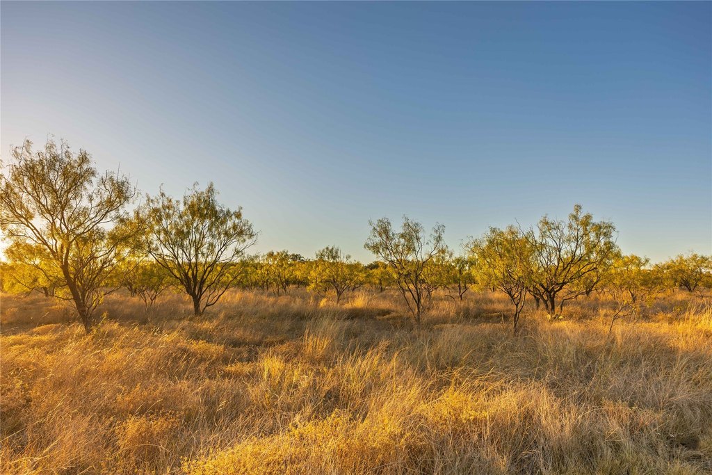
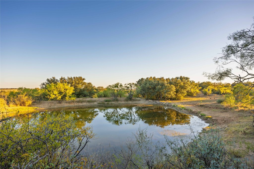
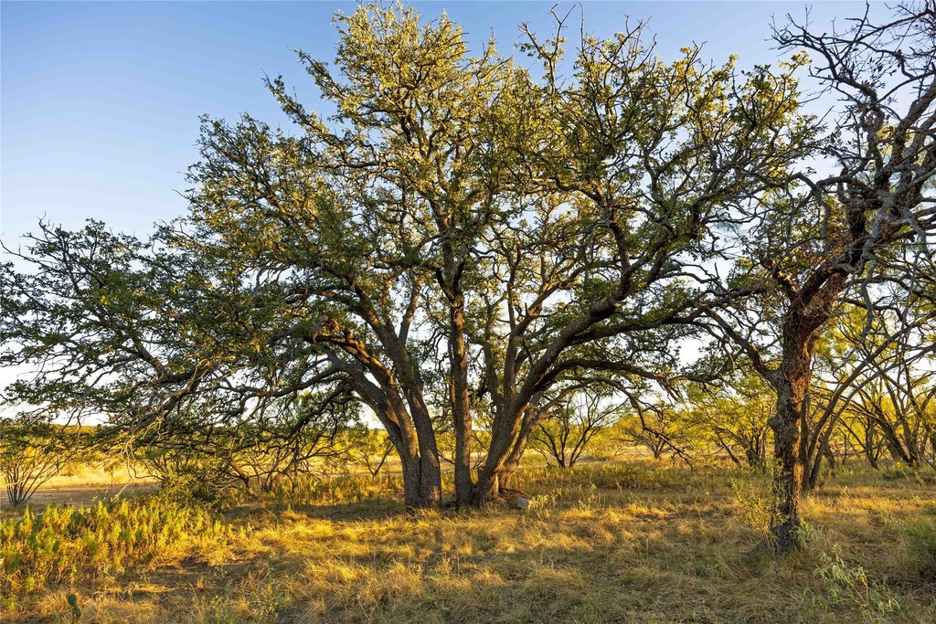
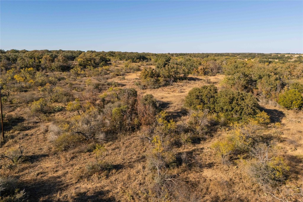
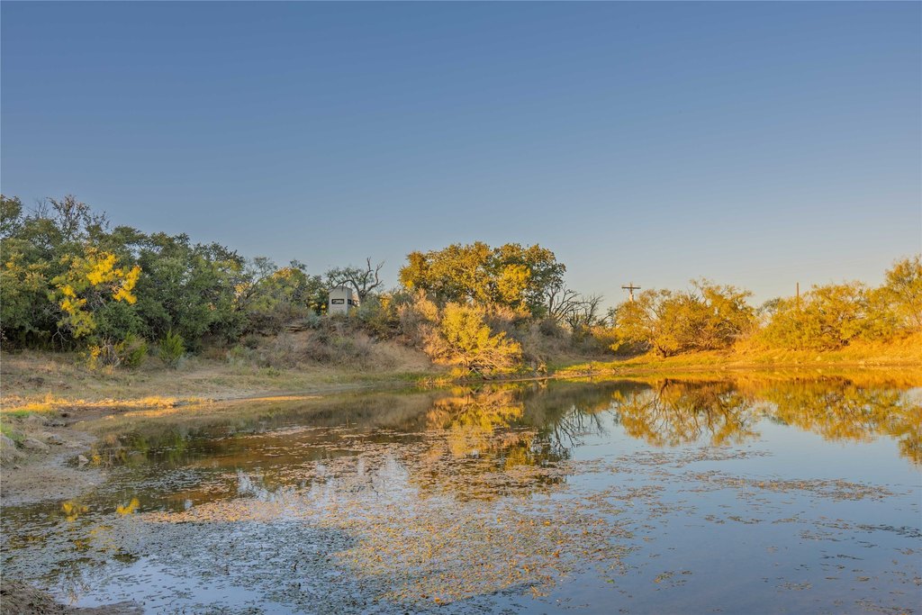
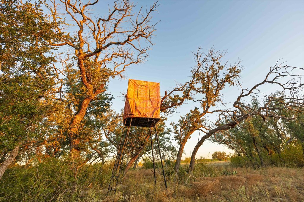
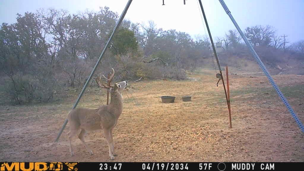
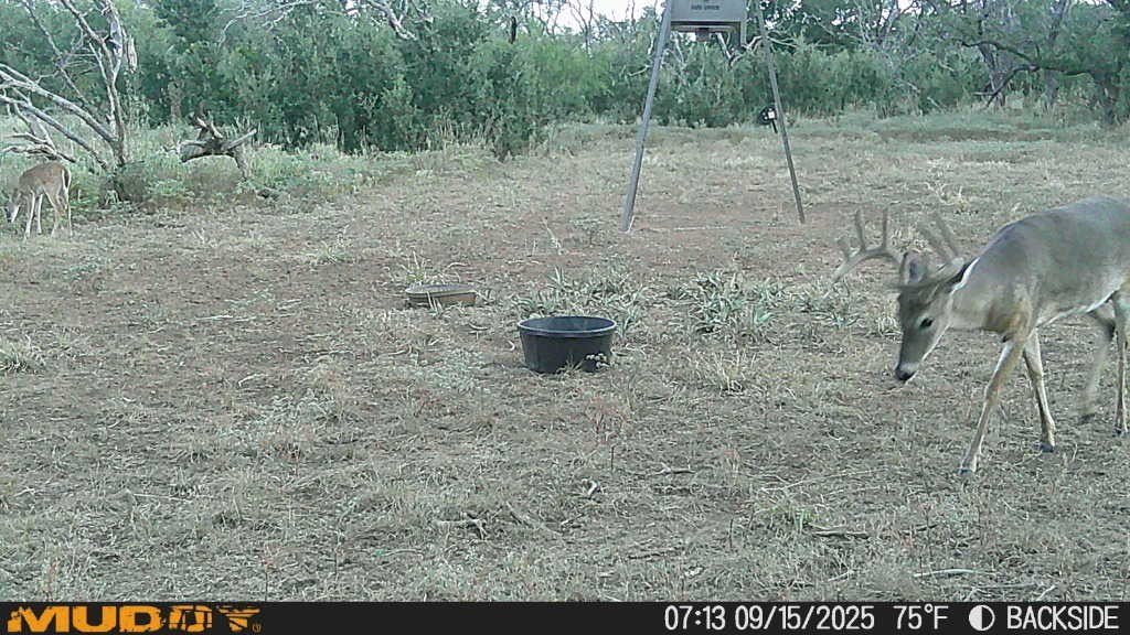
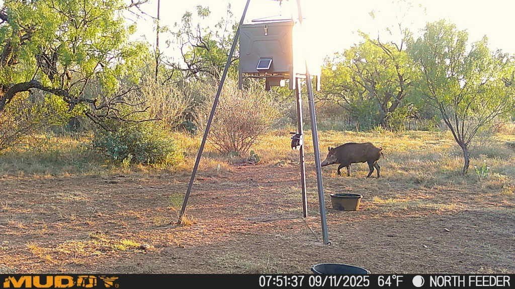
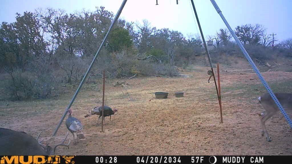
The land features three ponds stocked with channel catfish and perch, adding to its versatility for recreation and wildlife management. Habitat includes whitetail deer, turkey, dove, and quail, with native vegetation such as post oak, live oak, red oak, mesquite, and bee brush. A 40-acre pasture of Kline grass mixed with mesquite extends toward the FM road.
Improvements include a 20x30 metal implement barn, a 440-square-foot hunting cabin, and a 10x20 storage shed. Terrain varies by approximately 90 feet, with a mix of open pasture, wooded cover, and elevated viewpoints.
The land features three ponds stocked with channel catfish and perch, adding to its versatility for recreation and wildlife management. Habitat includes whitetail deer, turkey, dove, and quail, with native vegetation such as post oak, live oak, red oak, mesquite, and bee brush. A 40-acre pasture of Kline grass mixed with mesquite extends toward the FM road.
Key Highlights
- 154.5+/- acre ranch about 8 miles southwest of Brownwood, Texas
- Frontage on FM 1176 and County Road 201 with multiple access points
- Utilities in place with water and electricity, plus an on‑site septic tank
Property Analytics
Property Profile
Location Intelligence
Current Use by Public Records
Ranches


FAQs
What type of property is this?
Ranch - Ranch property with FM 1176 and County Road 201 frontage, utilities, a metal barn, hunting cabin, and three stocked ponds.
Where is this ranch located?
The property is located at 8400 County Road 201 Brownwood, TX.
What is the asking price?
The asking price for this property is $996,525.
What are key features of this property?
This property features: 154.5+/- acre ranch about 8 miles southwest of Brownwood, Texas; Frontage on FM 1176 and County Road 201 with multiple access points; Utilities in place with water and electricity, plus an on‑site septic tank


