High-Exposure Commercial Land
55.258 Acres State Hwy 31 Bypass Corsicana, TX 75110


For Sale
$1,265,408
LAND - Corsicana, TX
Lot Size55.26 Acres
Days on Market99
Property Features for 55.258 Acres State Hwy 31 Bypass
General Information
- Property type
- Land
- Property subtype
- Other
- Standard status
- Active
- APN
- 47379
- Lot size
- 55.26 Acres
Taxes and HOA fees
- Tax Description
- ABS A10299 R GOODLOE ABST TRACT 135B 86.709 A
- Tax Annual Amount
- 123
Utilities
- Water front features
- Creek
Listing Agency:
Keller Williams Lonestar DFW
(817) 795-2500
Listed By:
Laura Smith · License #0645005
(817) 795-2500
Added: Apr 16
Changed: Jun 6
Last Checked: Jul 23 at 6:06PM
MLS# 21236192
Copyright © 2026 North Texas Real Estate Information Systems, Inc. All rights reserved. All information provided by the listing agent/broker is deemed reliable but is not guaranteed and should be independently verified.
Investment Insights
Based on property information with market context.
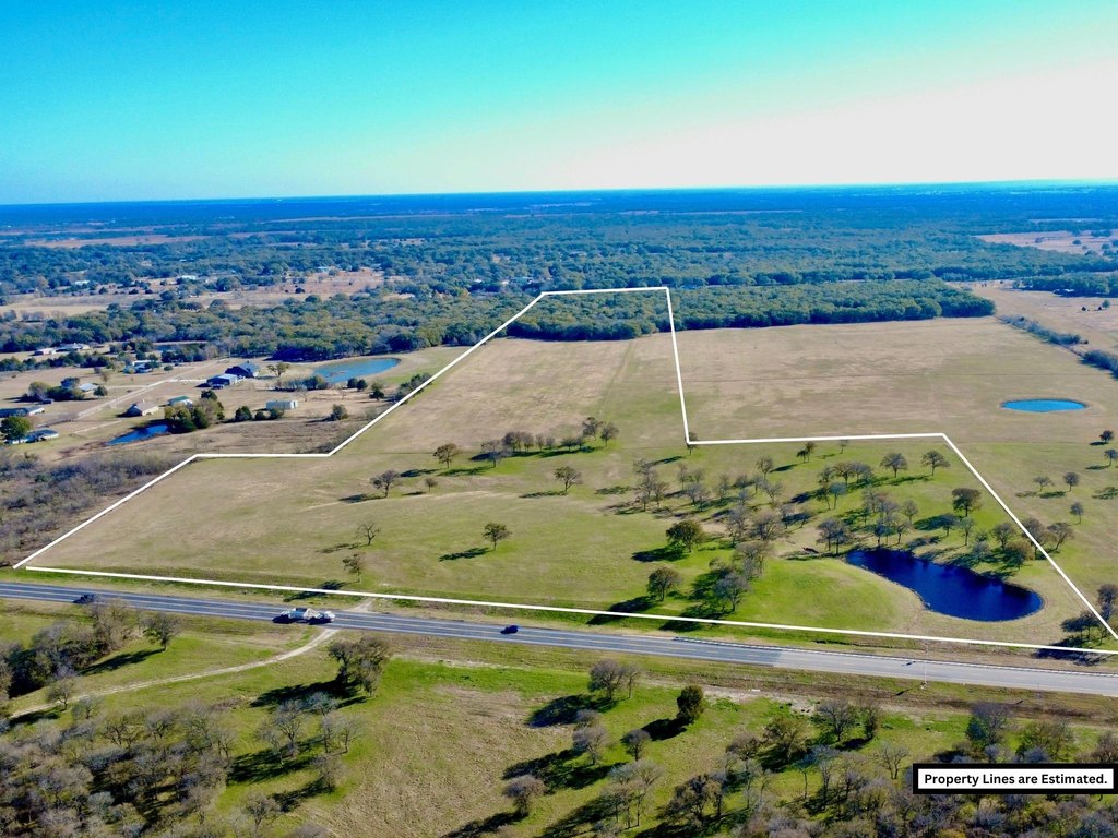
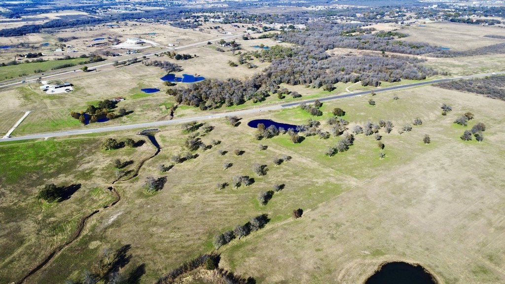
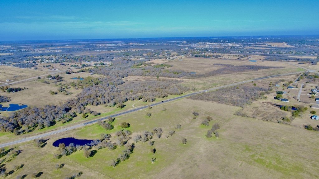
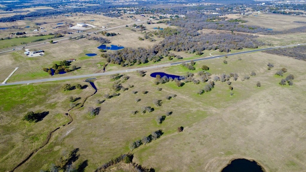
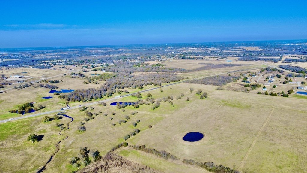
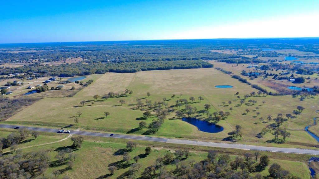
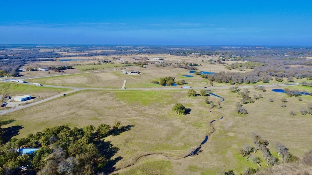
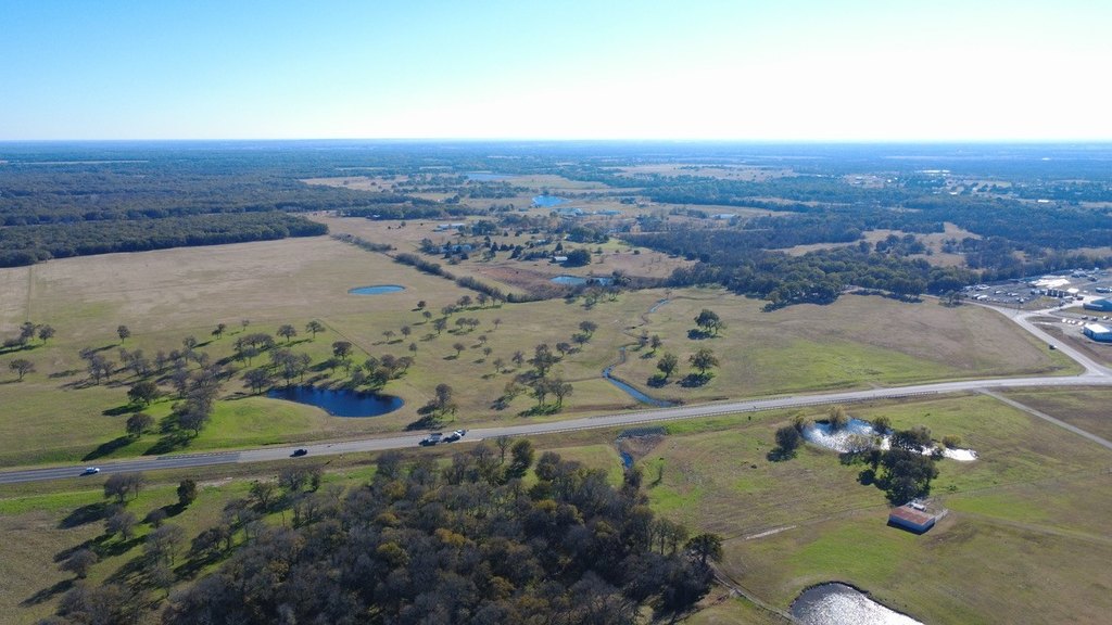
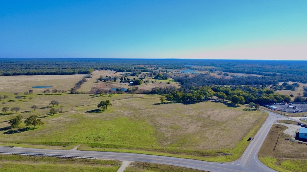
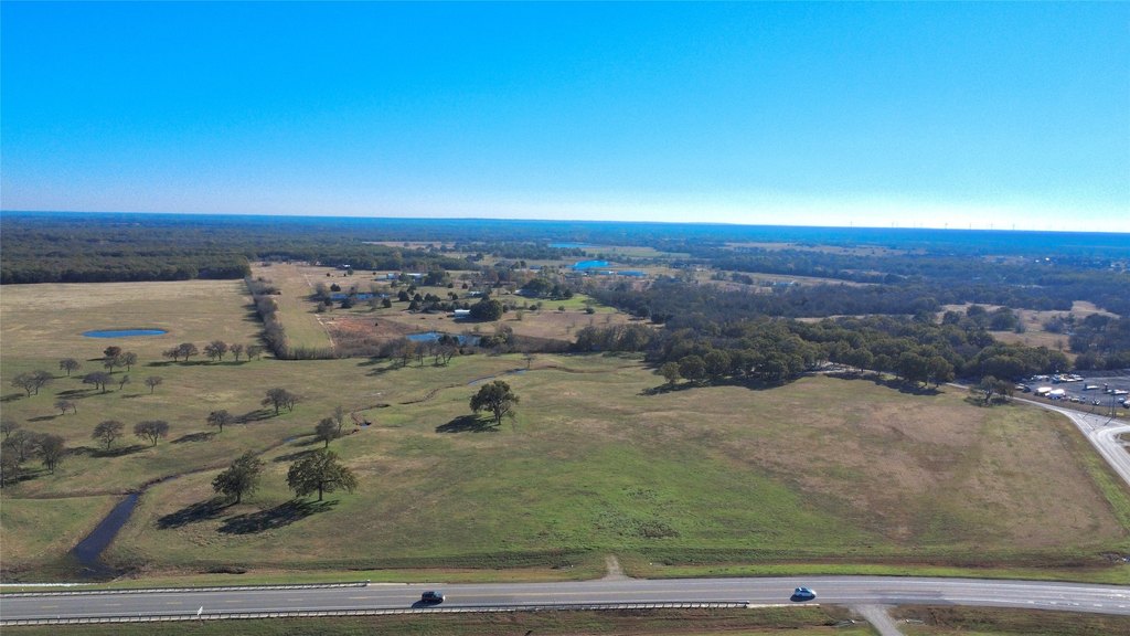
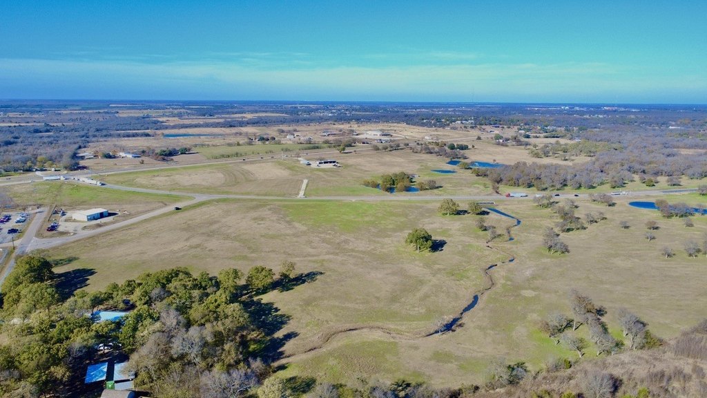
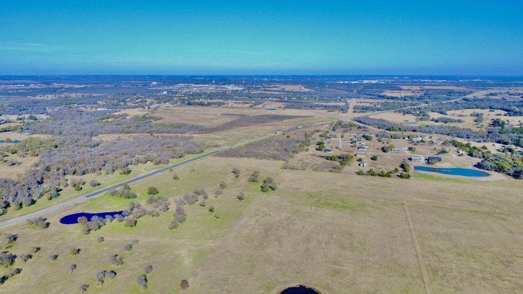
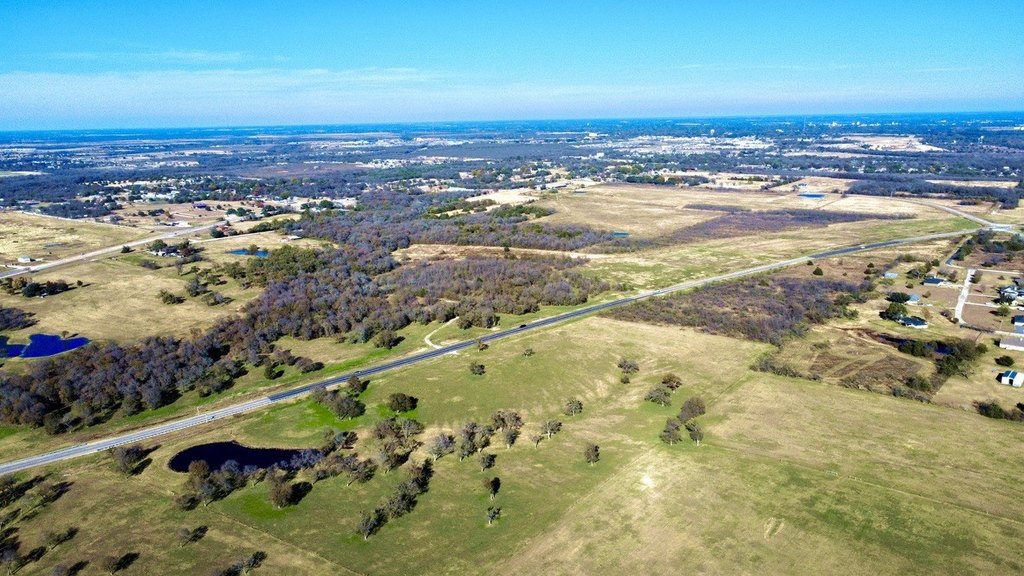
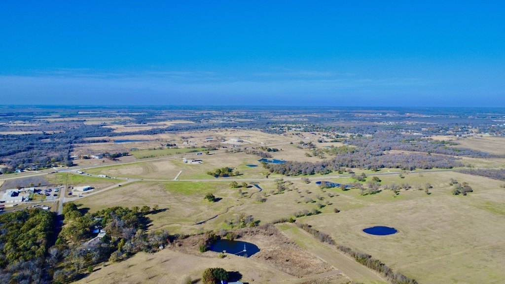
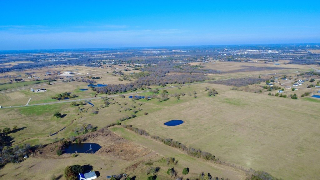
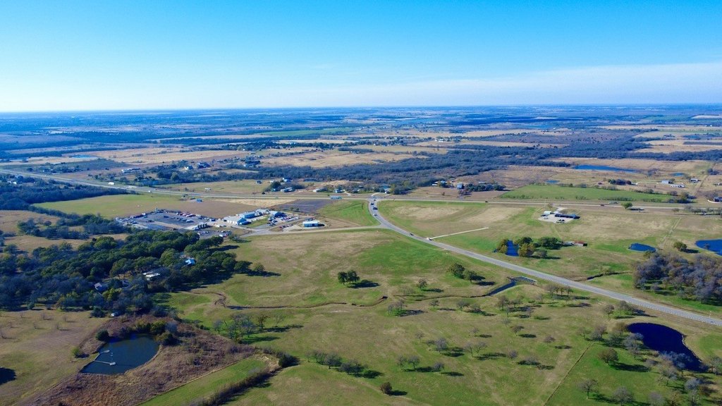
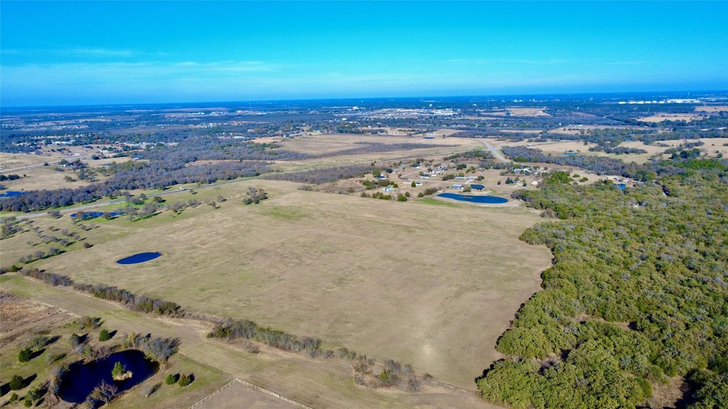
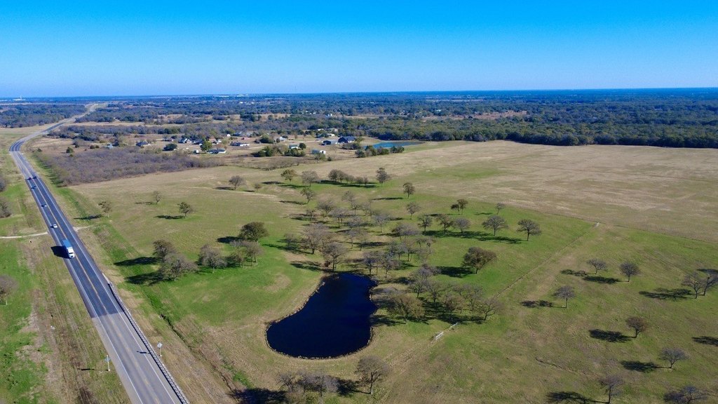
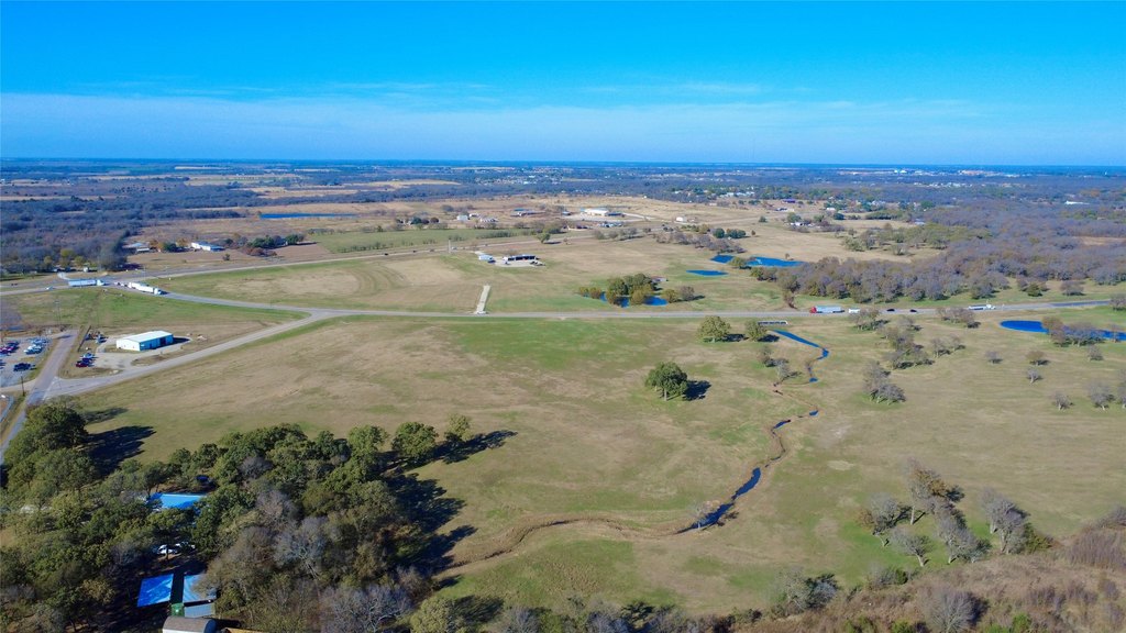
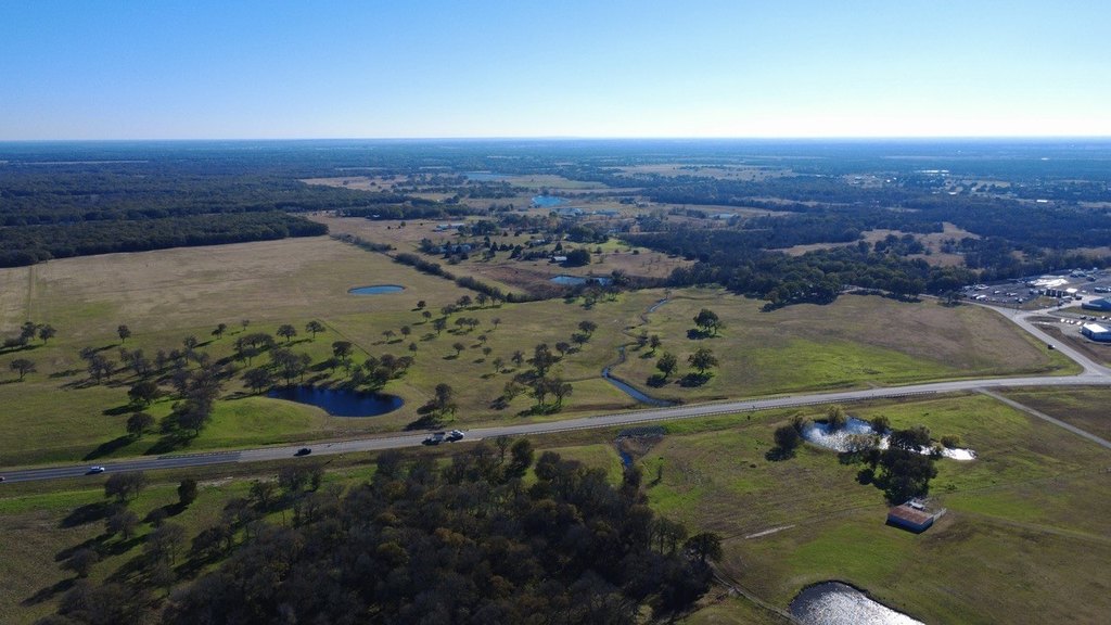
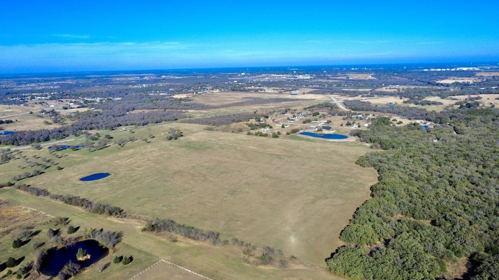
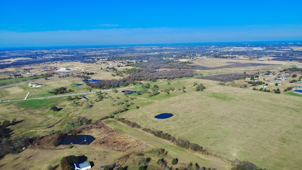
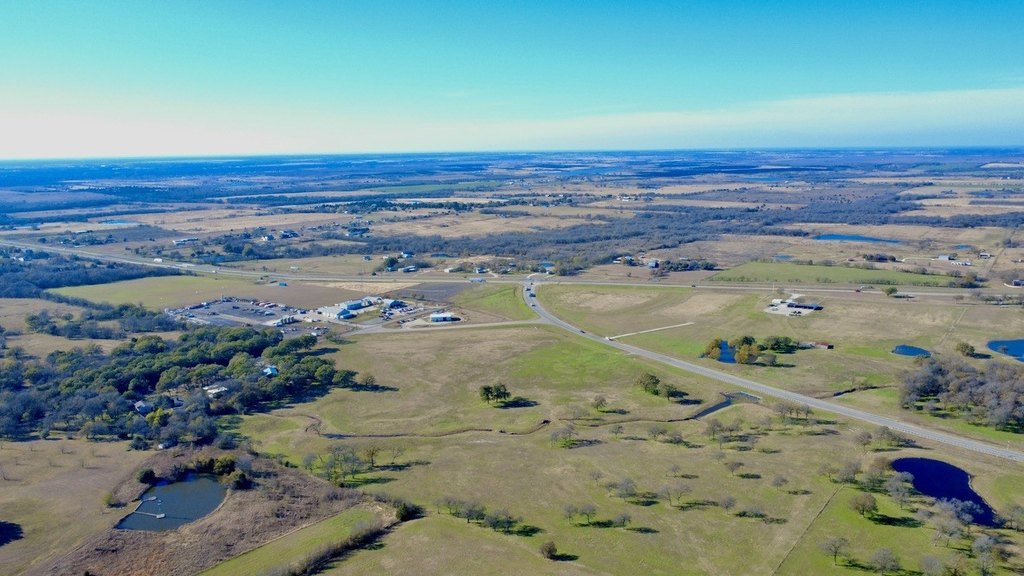
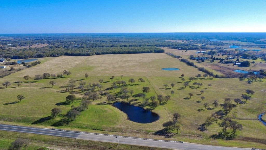
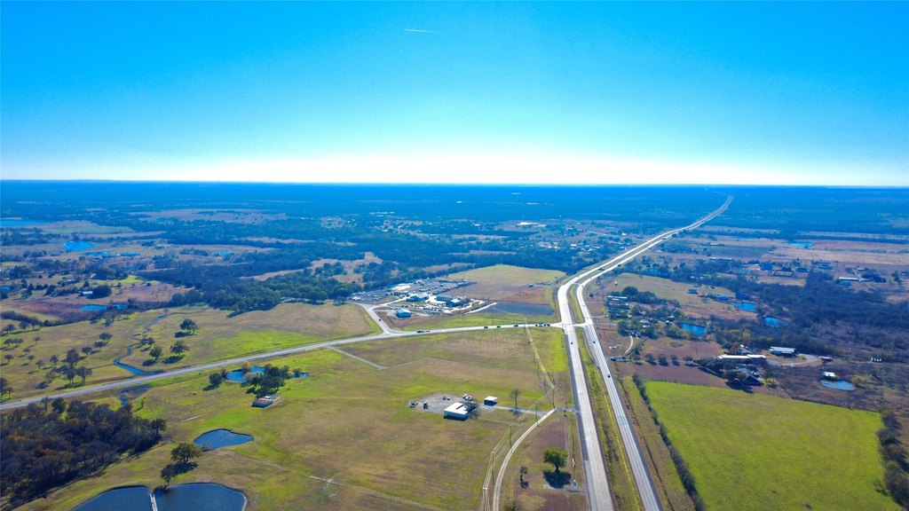
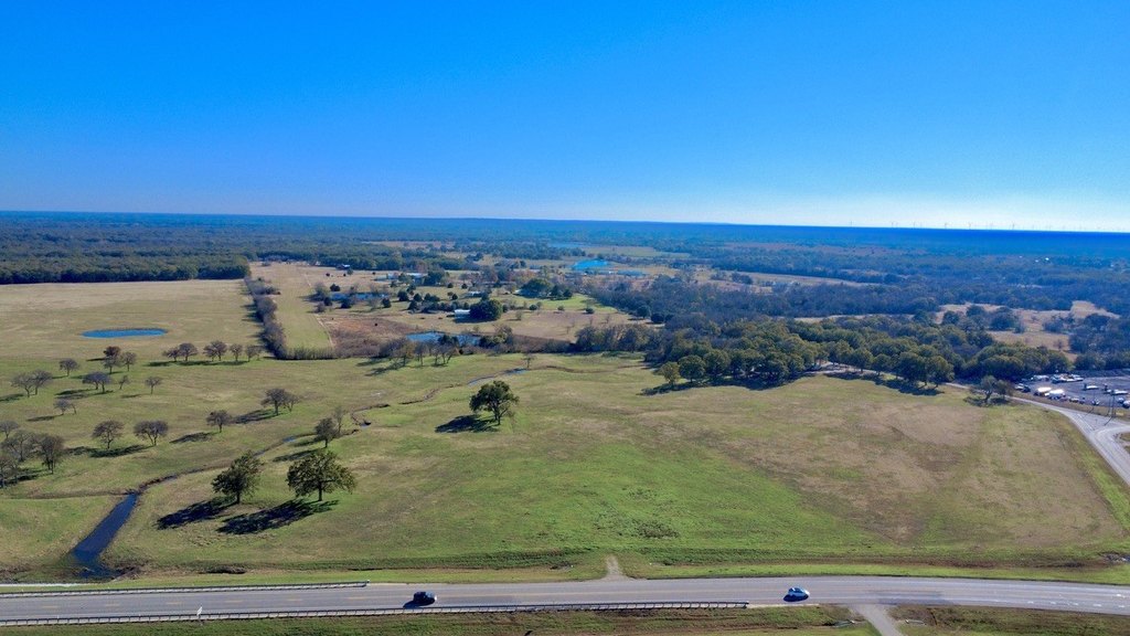
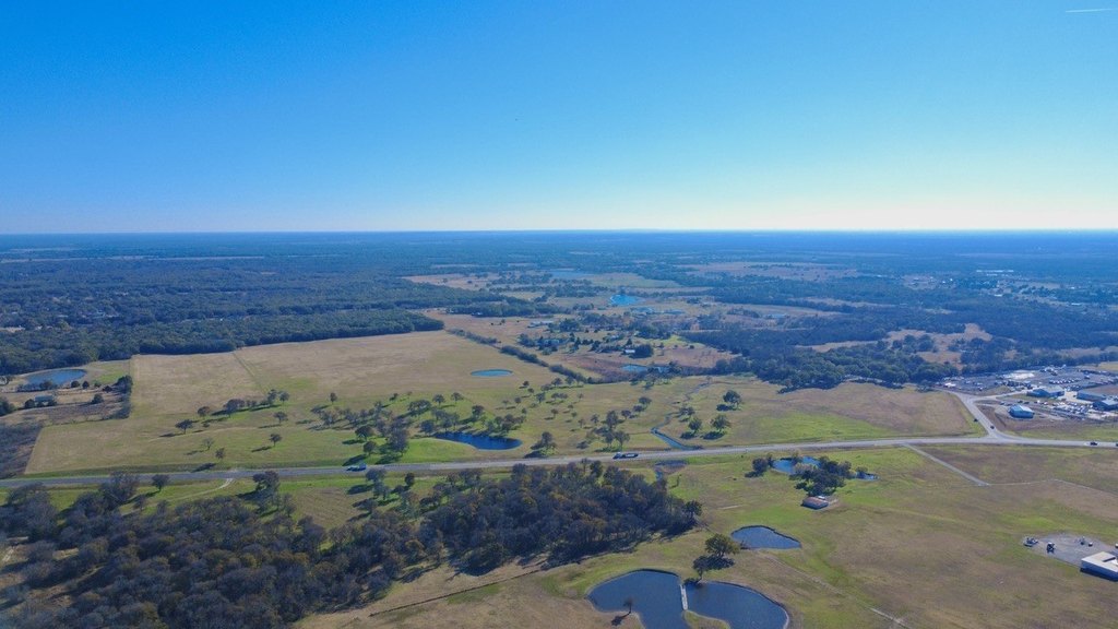
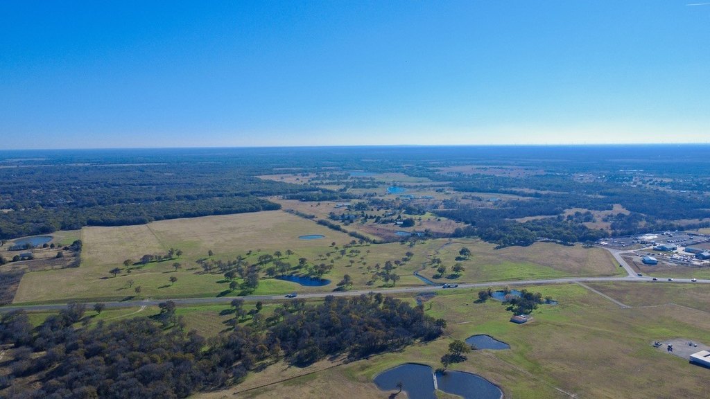
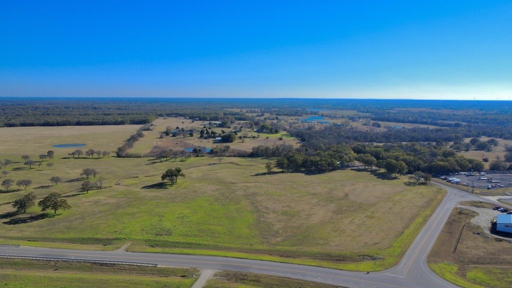
This offering is a commercial land tract totaling just over 55 acres, positioned just west of Corsicana immediately outside the city limits. The property has approximately 760 feet of road frontage along the HWY 31 Loop Bypass, providing a long, marketable frontage line for future site planning. The tract is also subject to deed restrictions including no dumping, junkyards, hog farms, or manufactured homes, and exact acreage and frontage should be confirmed by survey, as the provided dimensions are estimated.
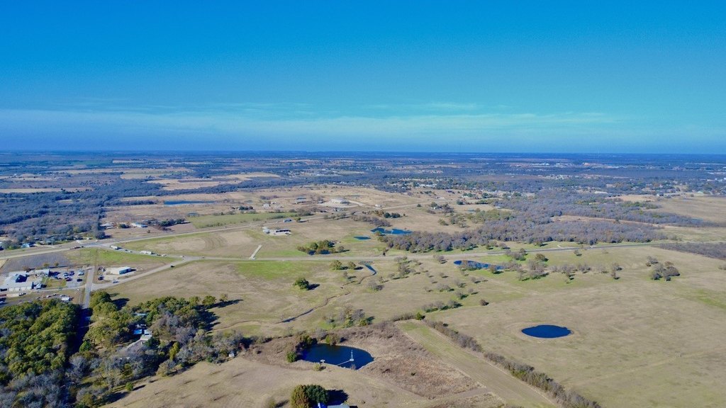
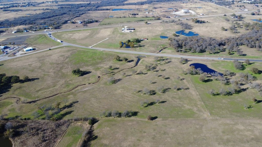
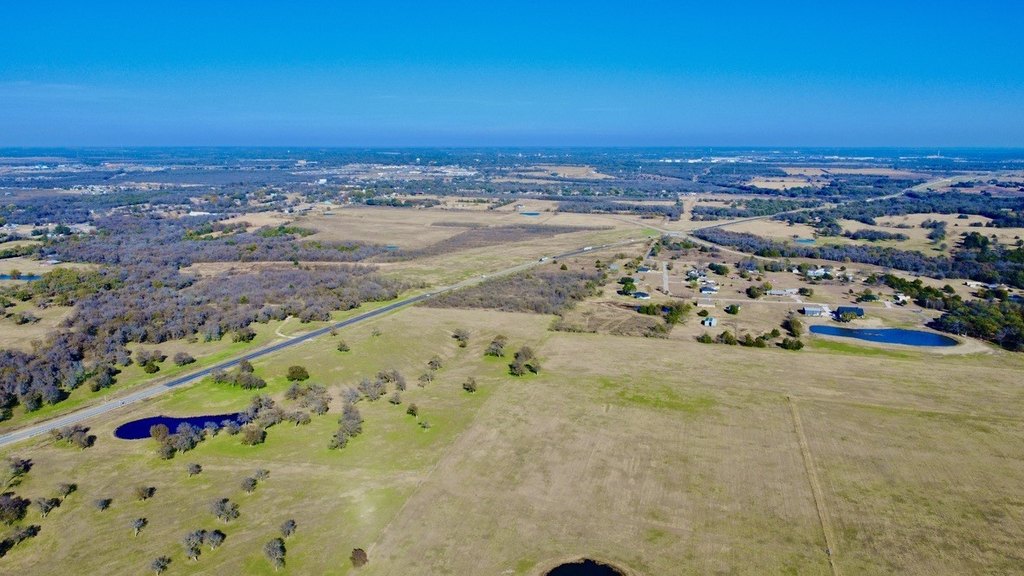
The location is described as being on the SH 31 Corsicana Bypass, in a highly trafficked corridor with strong exposure. Access and utility availability are noted as items that should be verified by the buyer. Additional adjoining acreage is available for purchase, offering flexibility for larger assemblages depending on a buyer’s development goals.
For investors and developers, this land presents an opportunity to capitalize on expanding infrastructure in a high-traffic area. The combination of substantial frontage and outside-city positioning can support a range of future uses, subject to the stated deed restrictions and all buyer verification requirements. Interested parties should plan for due diligence around access, utilities, and final survey confirmation before proceeding.
Key Highlights
- Approximately 55+ acres just west of Corsicana, immediately outside the city limits on the HWY 31 Loop Bypass
- About 760 ft of road frontage on HWY 31 Loop Bypass (acreage and frontage to be verified by survey)
- Deed restrictions include no dumping, junkyards, hog farms, or manufactured homes
Property Analytics
Location Intelligence
Current Use by Public Records
Commercial land


FAQs
What type of property is this?
Commercial land - More than 55 acres with substantial highway frontage offers strong visibility for investors planning future development.
Where is this commercial land located?
The property is located at 55.258 Acres State Hwy 31 Bypass Corsicana, TX.
What is the asking price?
The asking price for this property is $1,265,408.
What are key features of this property?
This property features: Approximately 55+ acres just west of Corsicana, immediately outside the city limits on the HWY 31 Loop Bypass; About 760 ft of road frontage on HWY 31 Loop Bypass (acreage and frontage to be verified by survey); Deed restrictions include no dumping, junkyards, hog farms, or manufactured homes


