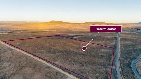
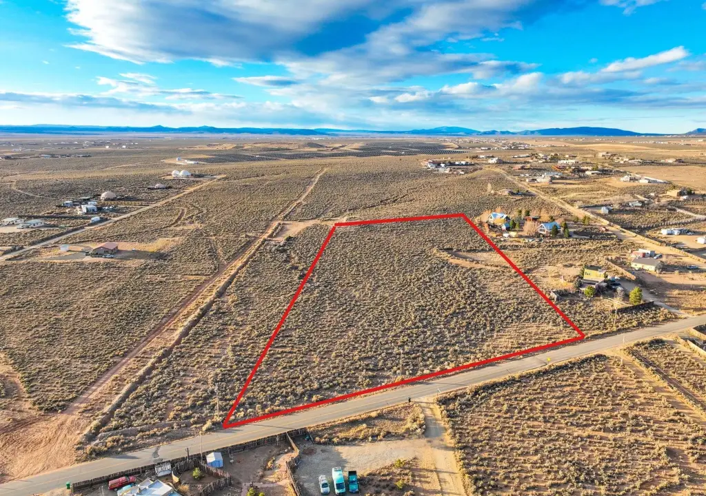
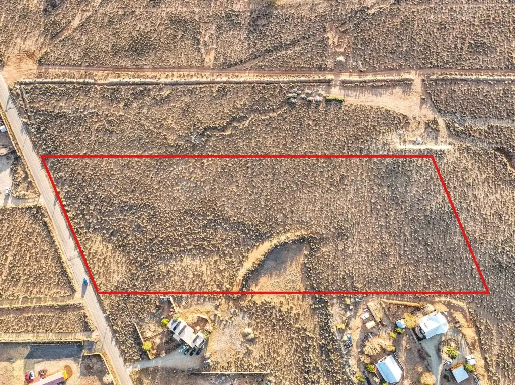
Lower Colonias Road 5 Plus Acres, El Prado, NM 87529


- Added:
- Jan 20, 2025
- Days on Market:
- 521
- Last Refresh:
- Jun 25 at 4:06 pm
Property Features for Lower Colonias Road 5 Plus Acres
General Information
- Property type
- Land
- Property subtype
- Other
- Standard status
- Active
- Lot size
- 5.36 Acres
Taxes and HOA fees
- Tax Description
- 5.365 Acres +- to be verified by the Title Company.
- Tax Annual Amount
- 2265
Utilities
- Utilities
- Propane
- Sewer type
- Unknown
- Water source
- Well Needed
Listing agent Ryan Trujillo License #53012 (575) 758-1924
Listing office Berkshire Hathaway HomeServices Taos Real Estate 314 A Paseo del Pueblo Norte, Taos, NM (575) 758-1924
Listing date Jan 20, 2025
Copyright © 2026 Enchanted Circle Association of REALTORS®. All rights reserved. All information provided by the listing agent/broker is deemed reliable but is not guaranteed and should be independently verified.
HighLights
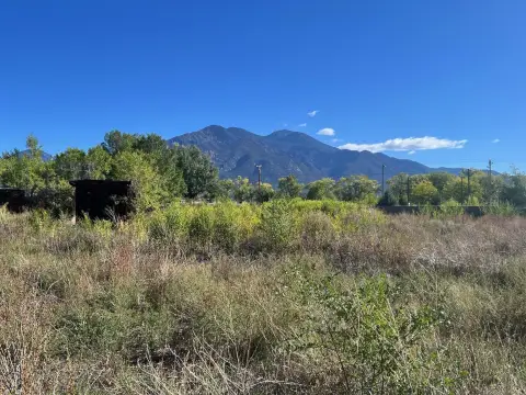
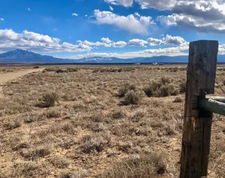
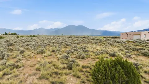
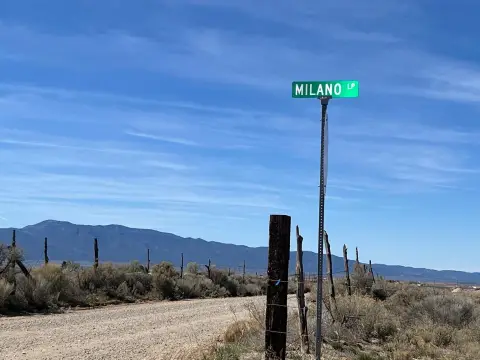
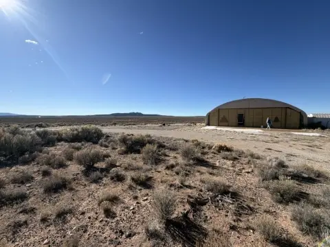
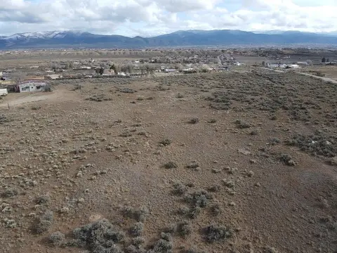
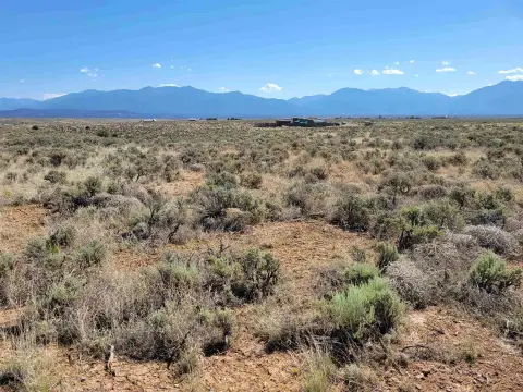
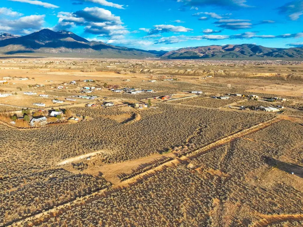
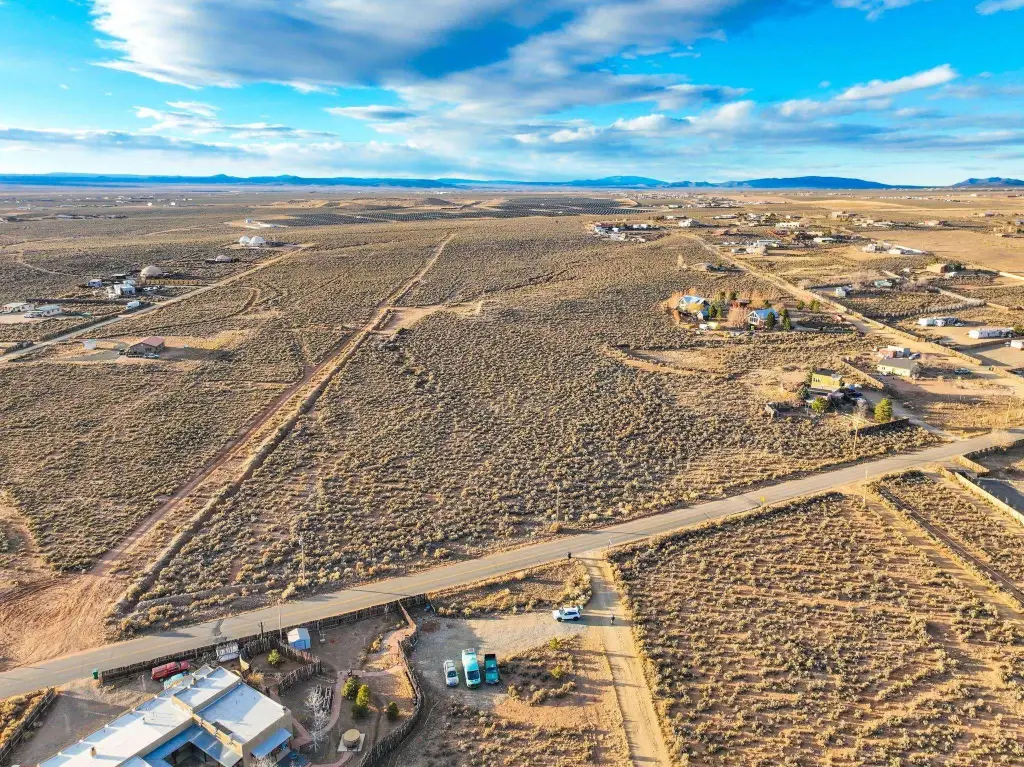
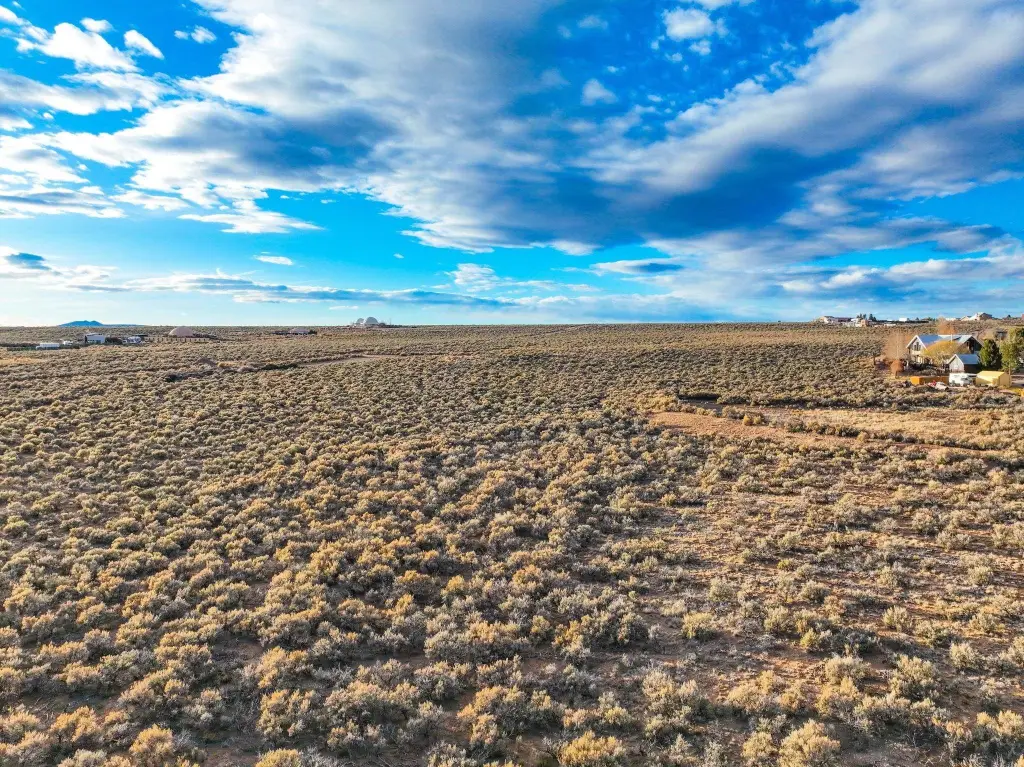
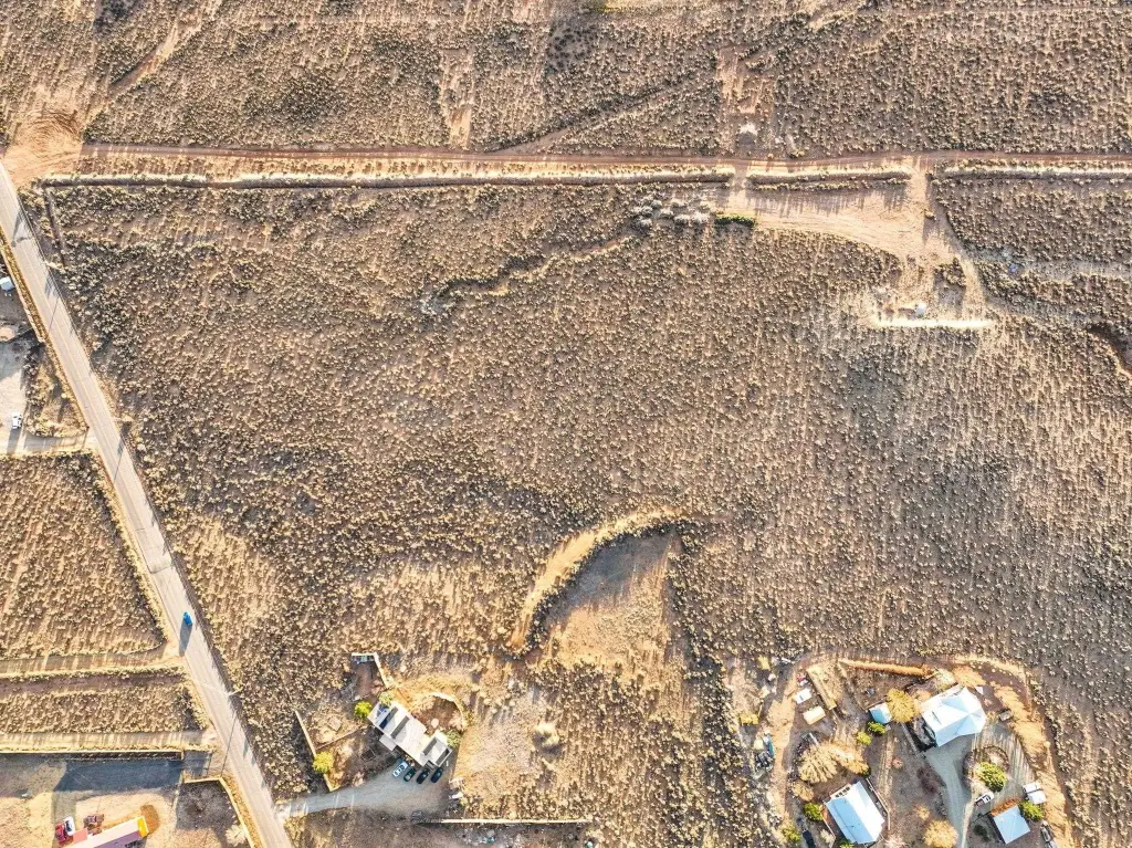
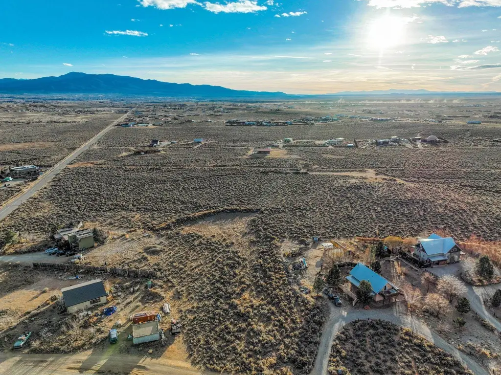
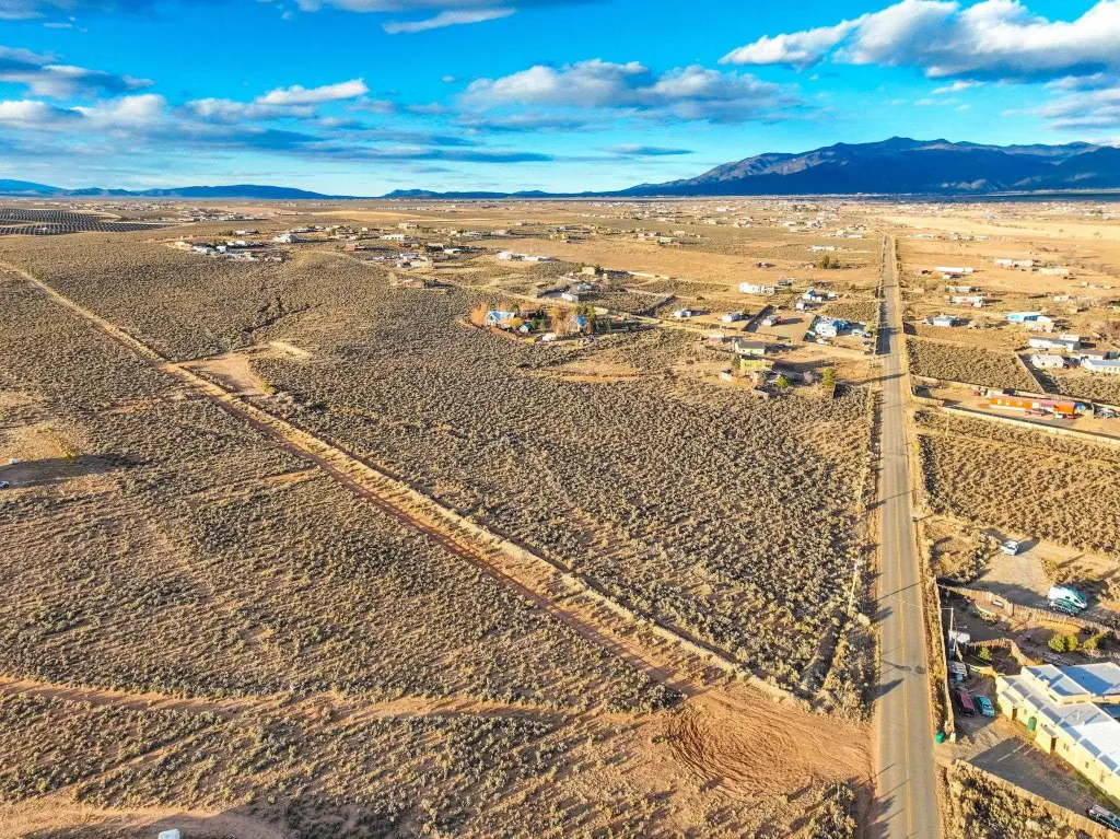
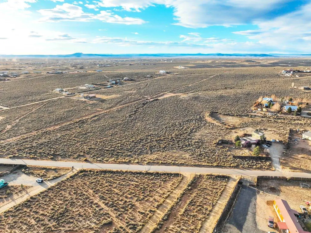
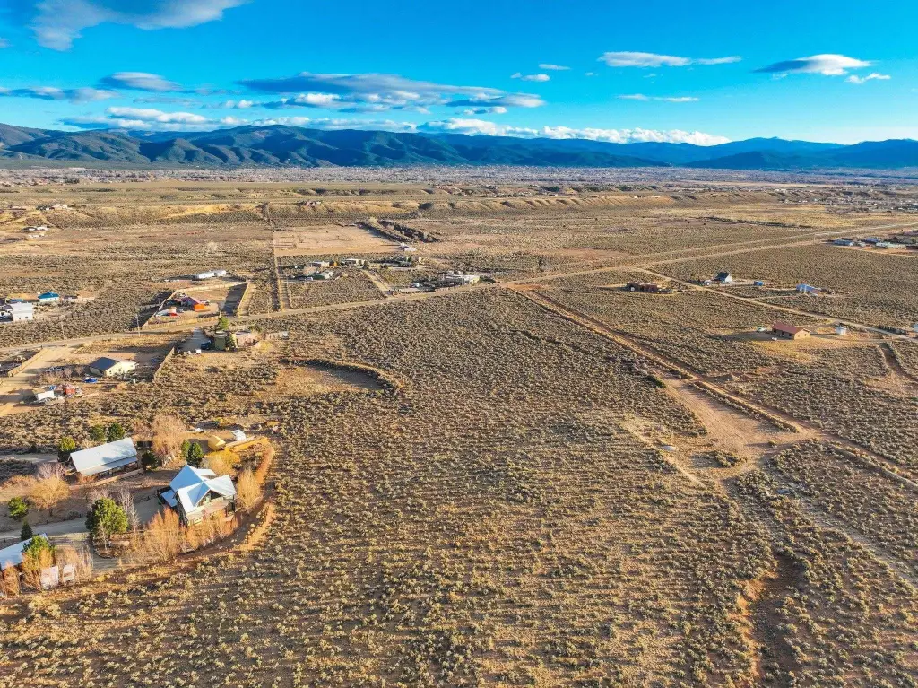
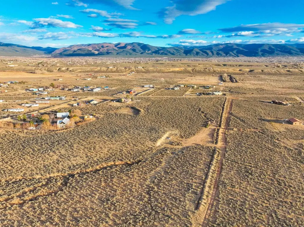
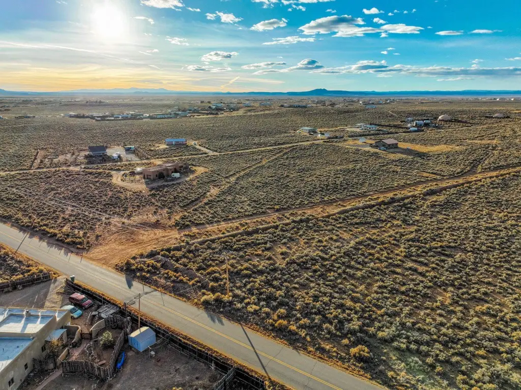
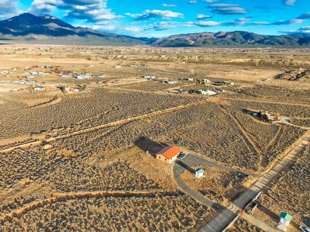
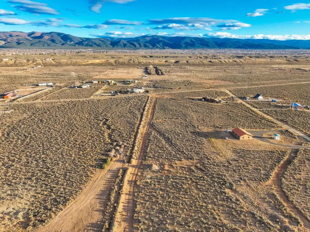
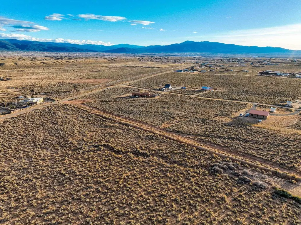
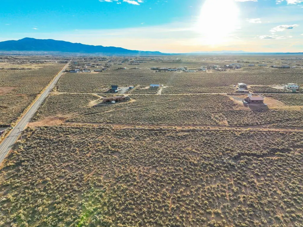
- 5+ acre mostly flat tract located right off Lower Colonias Road
- Several prime build sites for a dream home and surrounding residence
- Utilities available right at the lot line
- Propane on site per utilities listing
- Water source is a well (well needed)
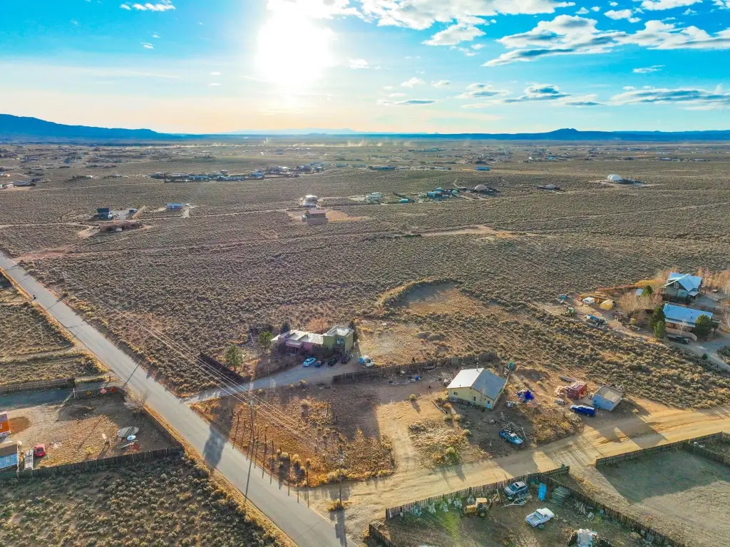
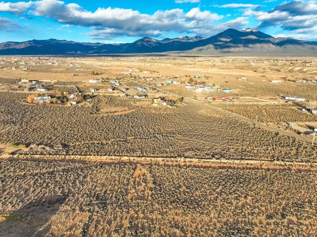
- Close to Taos Ski Valley, the Town of Taos, Rio Grande Gorge, John Dunn Bridge, and Ojo Caliente
Overview
The parcel is positioned right off Lower Colonias Road and is located in El Prado, NM (Taos County). Seller-provided details note views toward the Colonias valley. Utilities are described as being available at the lot line, with access characterized as convenient. The remarks also cite close proximity to Taos Ski Valley, the Town of Taos, Rio Grand Gorge and John Dunn Bridge for water activities, and an easy outlet to Ojo Caliente.
With utilities at the lot line and a layout that is described as mostly flat, this property may fit buyers looking for buildable acreage for a planned homesite or community setup. Prospective buyers and their representatives should verify any development plans and requirements through the appropriate local permitting process.
Current Use by Public Records
Map
- City
- El Prado
- County
- Taos
- State
- New Mexico
- Longitude
- -105.6183835
- Latitude
- 36.43689239