Hunting Land with Ridge
For Sale
$174,900
45670 Frobish Road, Sardis, OH 43946
Land, New Matamores, OH
Property SizeContact for details
Lot Size40.00 Acres
Days on Market148
Property Features for 45670 Frobish Road
General Information
Property type
Land
Property subtype
Other
Standard status
Active
Lot size
40.00 Acres
Listing Agency:
Buckeye Land Sales
(866) 341-5263
Listed By:
Tyler Haessly
(740) 352-3691
Added: Apr 14
Changed: Sep 4
Last Checked: Sep 8 at 3:06PM
MLS# 11694948
Copyright © 2026 My State MLS. All rights reserved. All information provided by the listing agent/broker is deemed reliable but is not guaranteed and should be independently verified.
Investment Insights
Based on property information with market context.
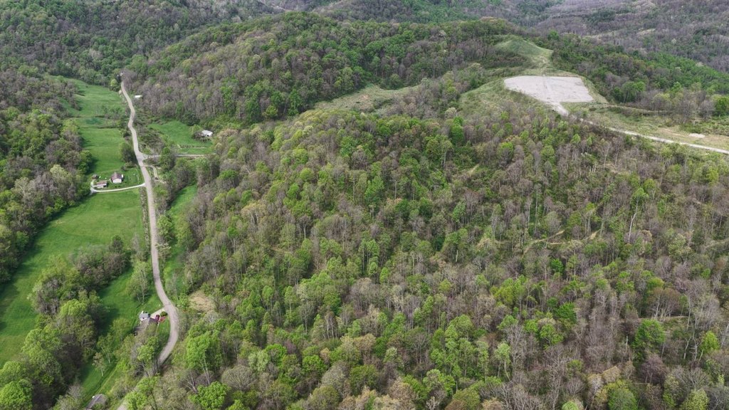
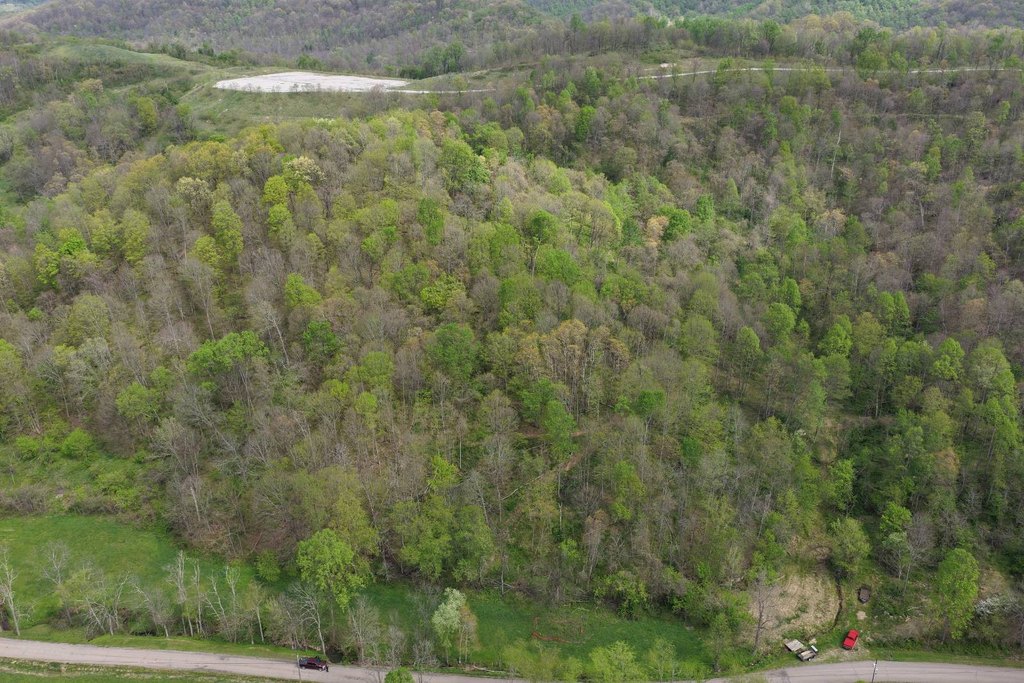
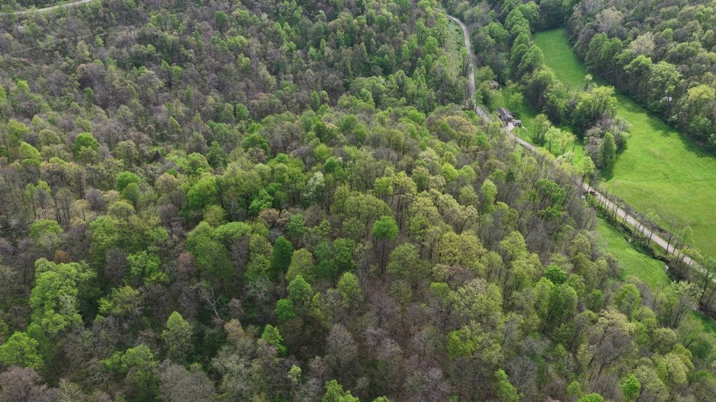
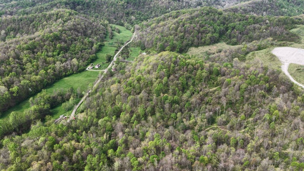
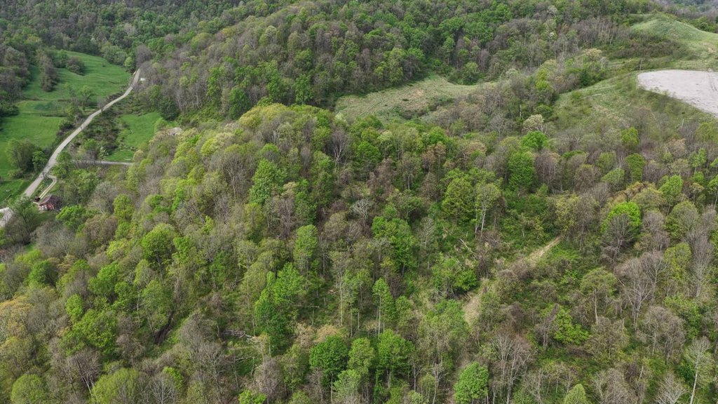
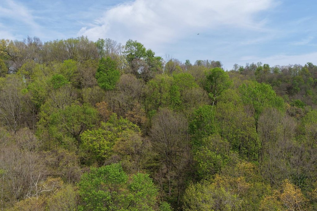
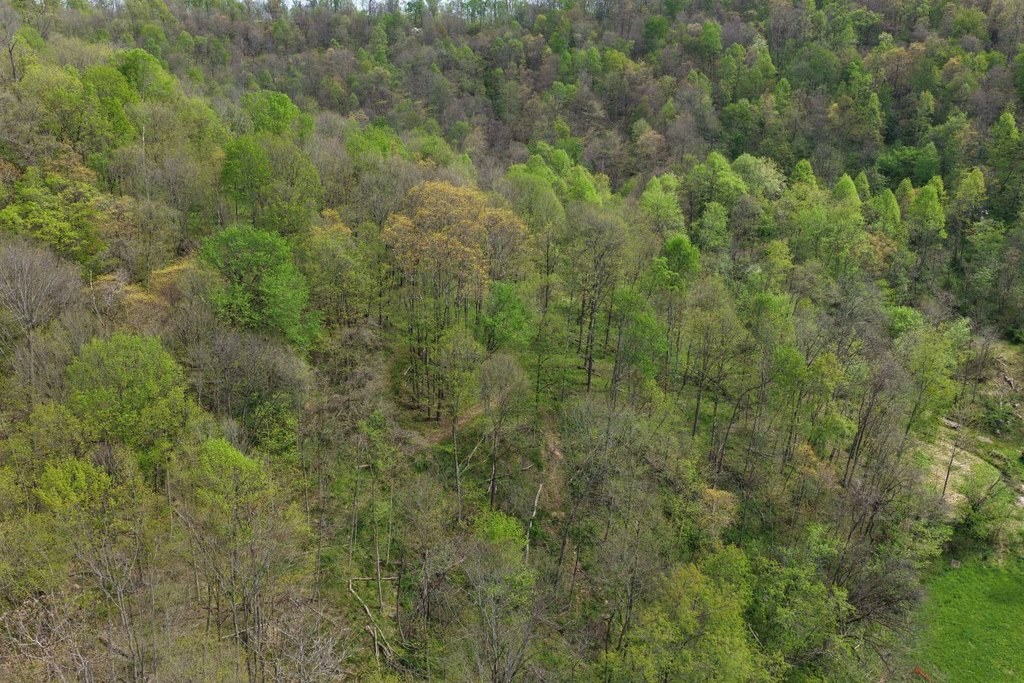
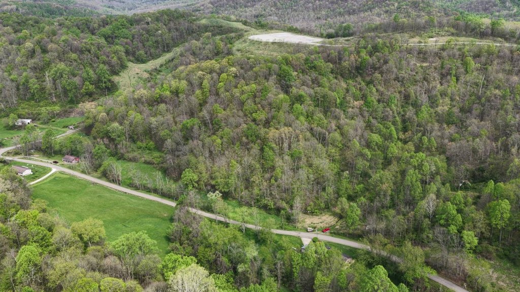
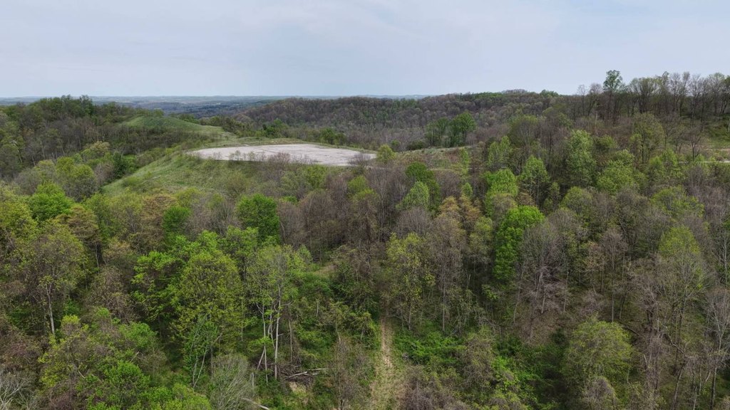
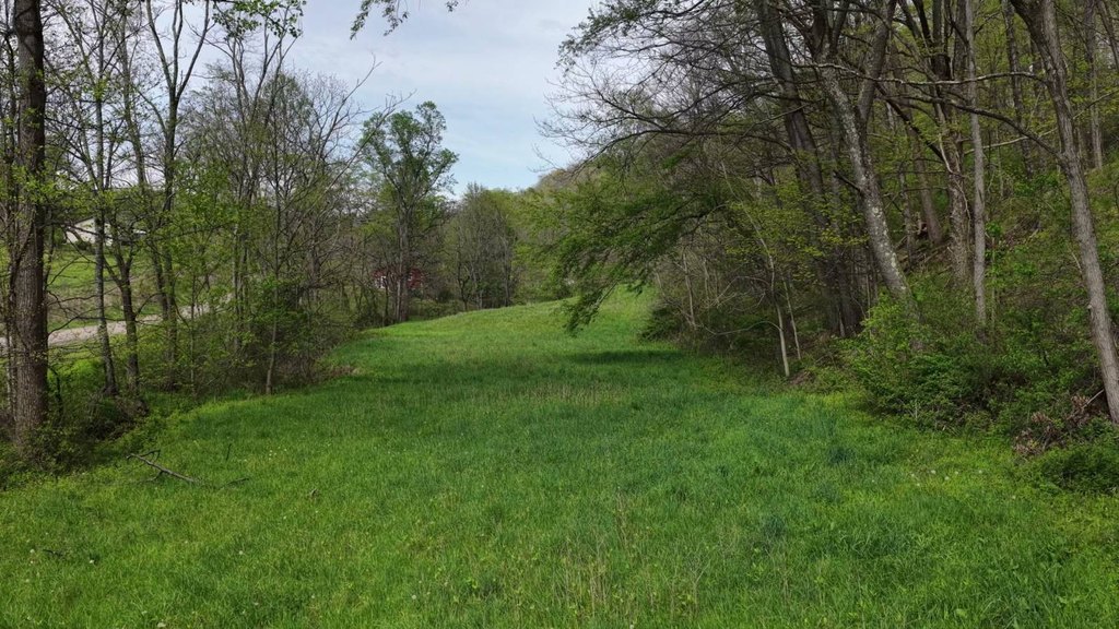
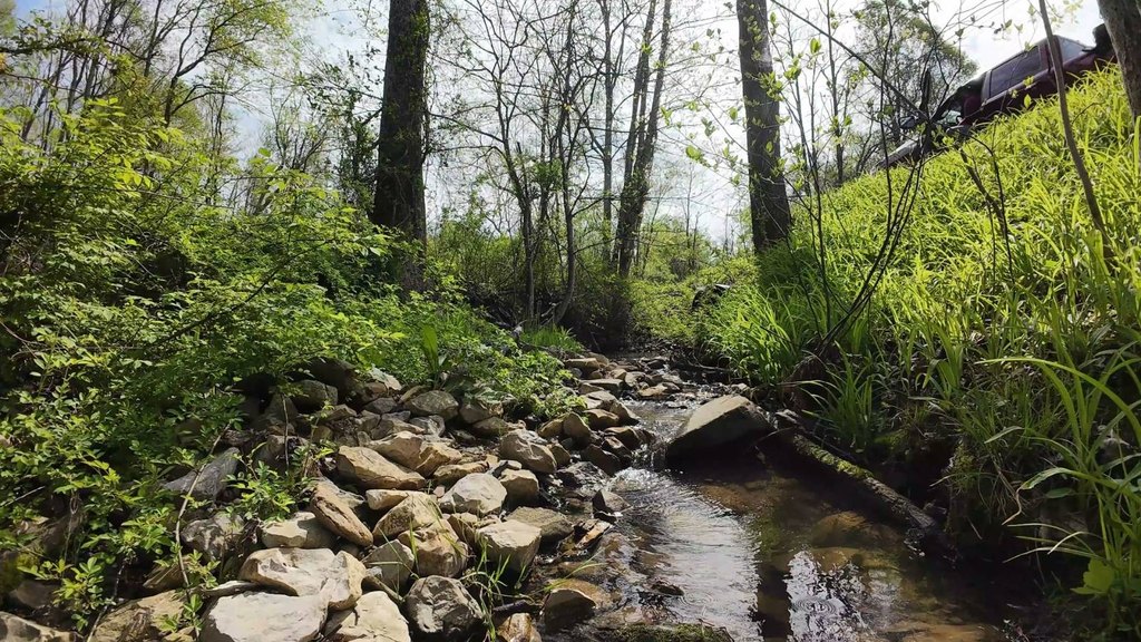
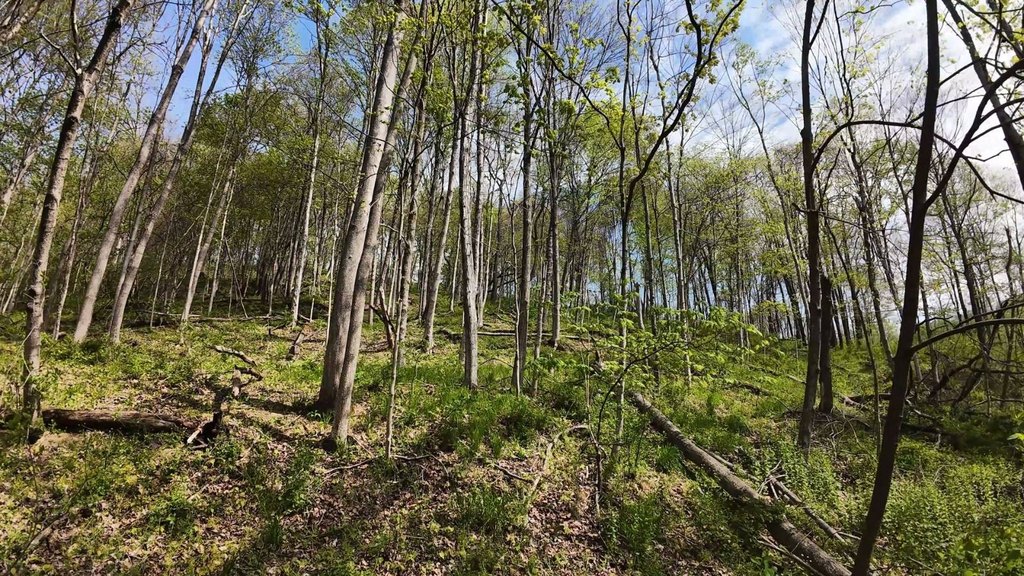
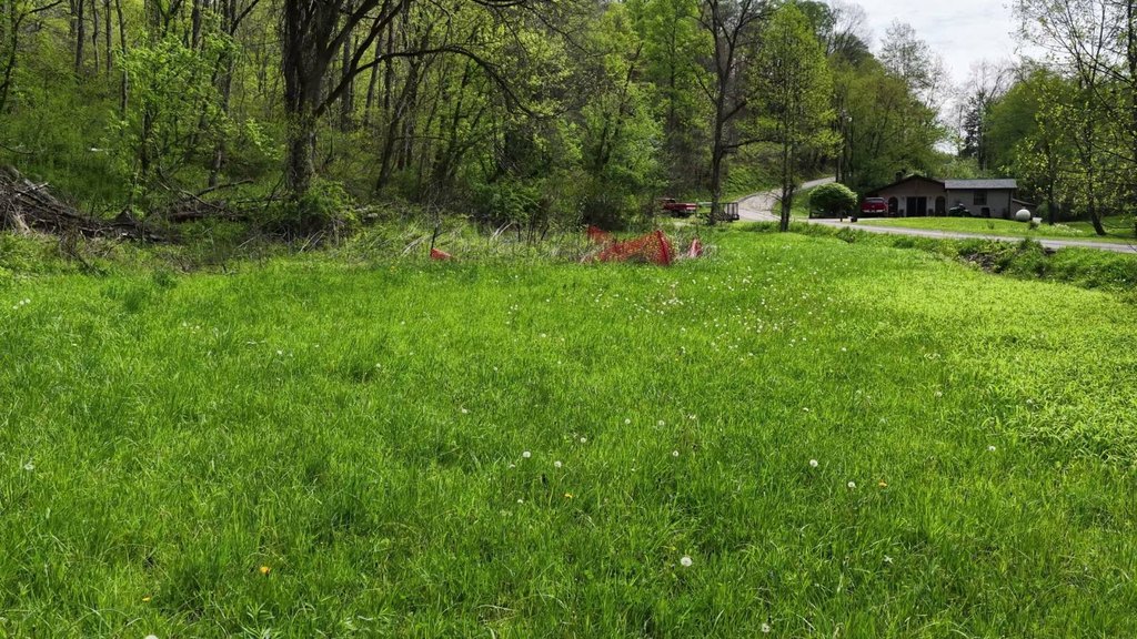
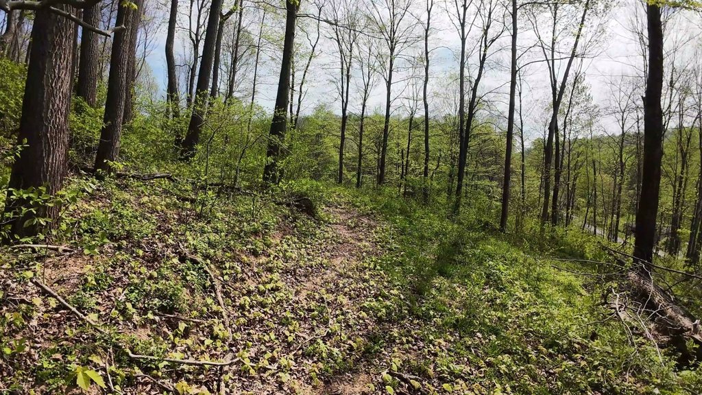
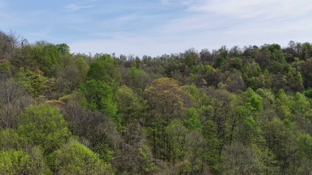
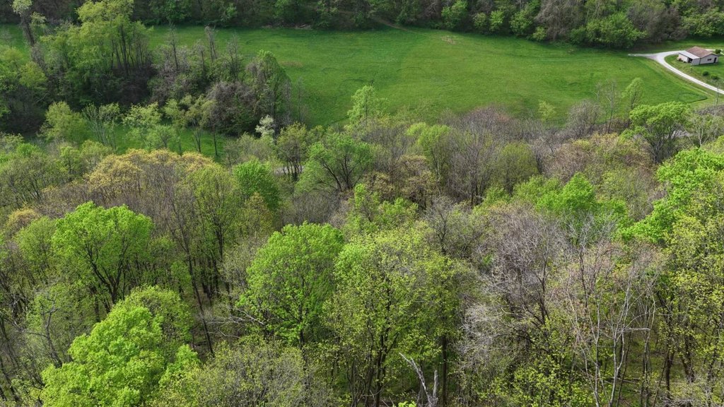
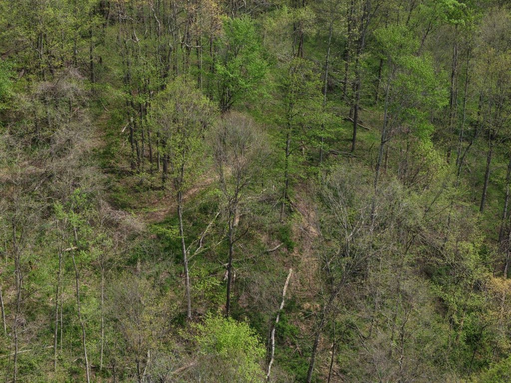
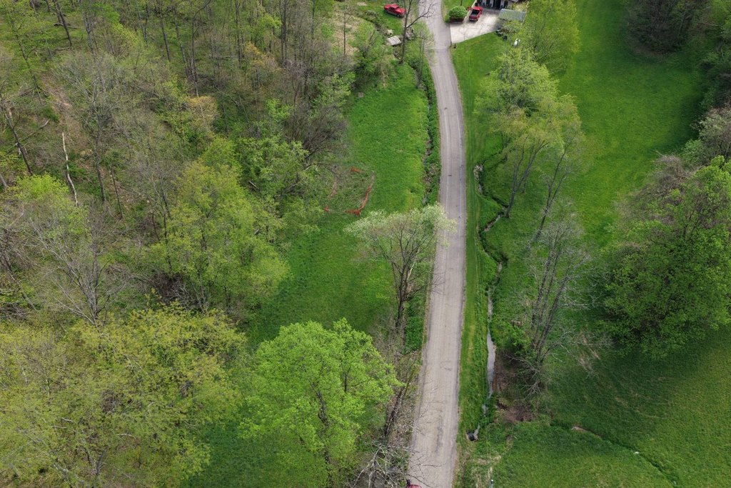
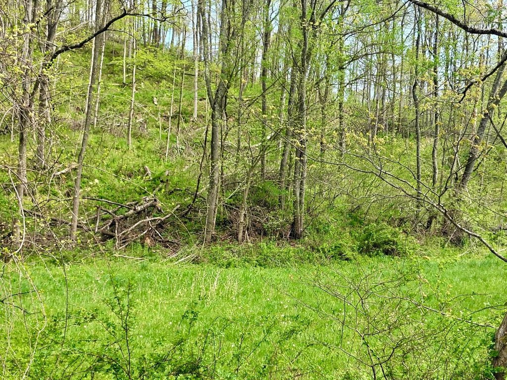
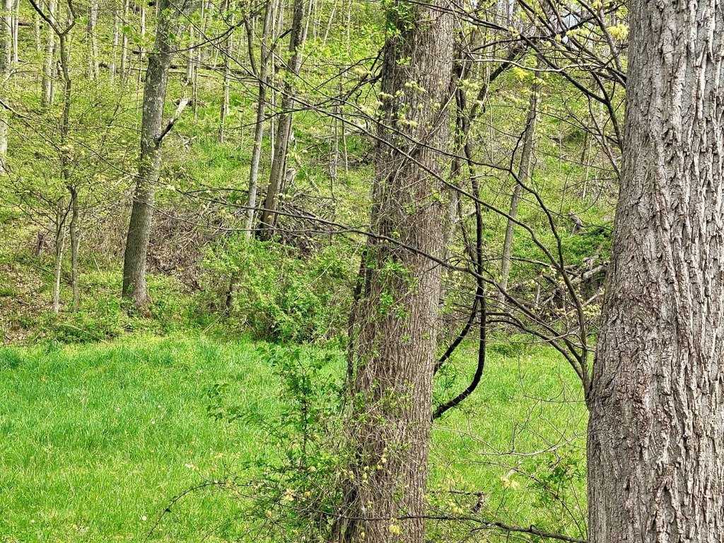
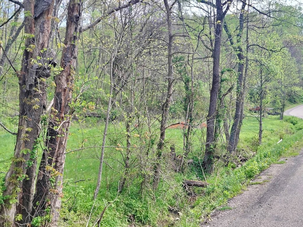
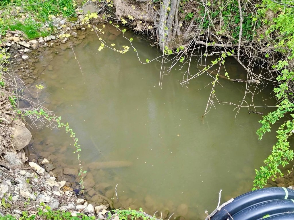
This 40-acre hunting property in Monroe County, Ohio, combines young mixed hardwood timber with a defined hollow, ridgelines, and several level areas on higher ground. Elevation changes by approximately 180 feet across the tract, and the ridges rise above 1,200 feet. Existing trails provide access for ATVs, side-by-sides, and foot travel. Flat elevated areas offer potential cabin or homestead locations, while a water source follows Joe Frobish Road along the parcel’s southern edge. Electric is available at the road; no gas, water, or sewer is located on site.
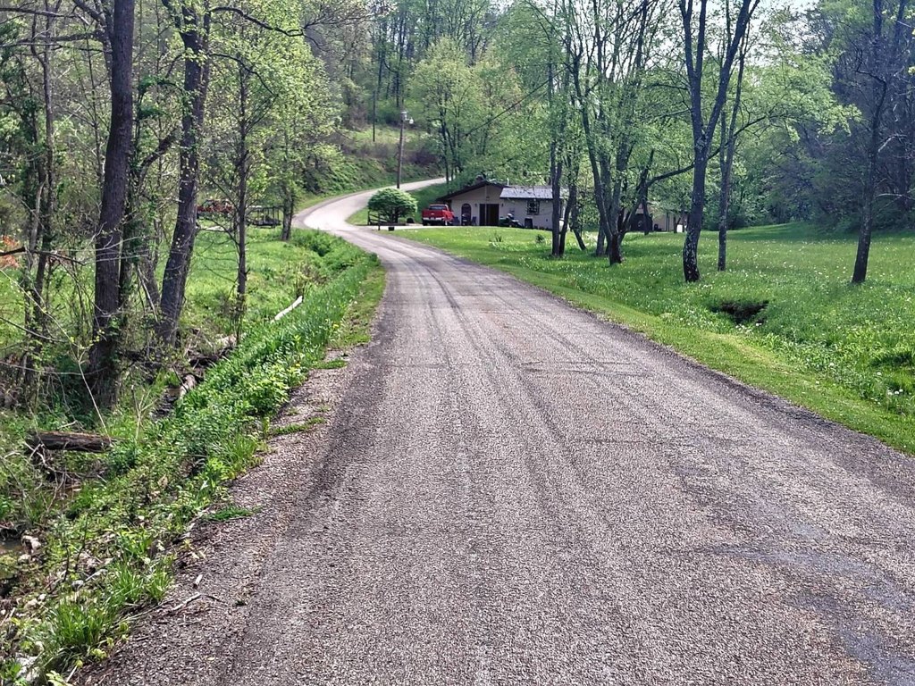
The property borders the Marietta Unit of Wayne National Forest, with public entrances approximately 10 minutes away. It is within ODNR Wildlife District Four and has county road frontage on Joe Frobish Road. The Ohio River is approximately 6 minutes south at Sardis, and State Route 7 provides access toward regional destinations. Mineral rights are not conveyed with the property.
The property borders the Marietta Unit of Wayne National Forest, with public entrances approximately 10 minutes away. It is within ODNR Wildlife District Four and has county road frontage on Joe Frobish Road. The Ohio River is approximately 6 minutes south at Sardis, and State Route 7 provides access toward regional destinations. Mineral rights are not conveyed with the property.
Key Highlights
- 40+/- acres in one parcel
- Borders the Wayne National Forest, Marietta Unit
- Ridges rise to over 1,200 feet with approximately 180 feet of elevation relief
Property Analytics
Property Profile
Current Use
Lease Details
Yes
Paved road access
Yes
Utilities to site
Location Intelligence
Trade Area within ½ mile
Explore this area
Business Placement
Demographics for 43946, OH
1,836
Population
903
Households
2
Avg Household Size
50
Median Age
16%
College-Educated
91%
High-School Grad
57.3 sq mi
ZIP Area
32
Density / Sq Mi
$61,123
Median Household Income
$33,656
Median Earnings
$497
Median Rent
$125,600
Median Home Value

Questions? Ask Rey
Realmo’s AI knows this listing — price, zoning, demand, history. Ask anything.


Frequently Asked Questions
What type of property is this?
Hunting land - Wooded recreational tract adjoining Wayne National Forest with established trails, elevated sites, and electric available at the road.
Where is this hunting land located?
The property is located at 45670 Frobish Road Sardis, OH.
What is the asking price?
The asking price for this property is $174,900.
What are key features of this property?
This property features: 40+/- acres in one parcel; Borders the Wayne National Forest, Marietta Unit; Ridges rise to over 1,200 feet with approximately 180 feet of elevation relief


