Mixed-Use Commercial

For Lease
$6,000/Mo
4474 CORUNNA Road, Flint, MI 48532
Vacant Land, Flint Twp, MI
Space SizeContact for details
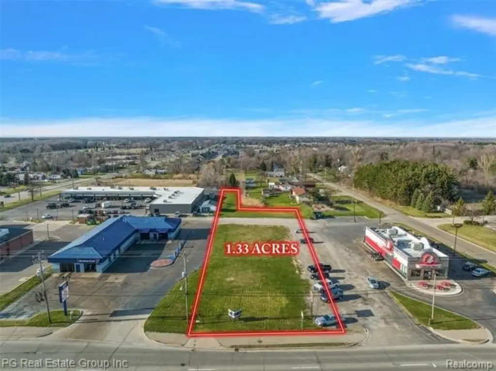
Lot Size1.33 Acres
Days on Market1407
Property Features for 4474 CORUNNA Road
General Information
Property type
Land
Property subtype
Other
Zoning
Commercial,Multi-Family,M
Elementary school district
Carman-Ainsworth
Middle school district
Carman-Ainsworth
High school district
Carman-Ainsworth
Directions
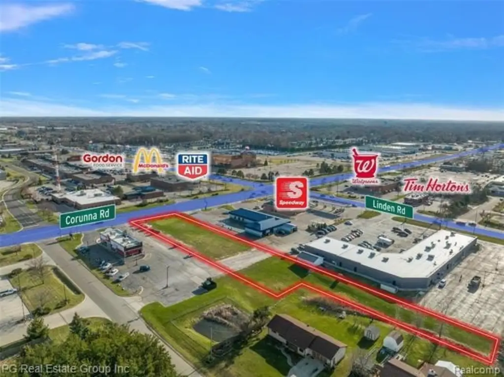
NORTH OF CORUNNA, EAST OF LINDEN
Subdivision
Flint Twp
Standard status
Active
APN
0716300050
Lot size
1.33 Acres
Taxes and HOA fees
Tax Description
E 66 FT OF W 538 FT OF S 660 FT OF S 1/2 OF SW 1/4 EXCEPT N 200 FT SEC 16 T7N R6E (79)
Legal Description
E 66 FT OF W 538 FT OF S 660 FT OF S 1/2 OF SW 1/4 EXCEPT N 200 FT SEC 16 T7N R6E (79)
Utilities
Water source
Public
Listing Agency:
PG Real Estate Group Inc
(248) 509-8950
Listed By:
Peter Gojcaj · License #6502411410
(586) 744-3297
Added: Nov 9, 2022
Changed: Sep 13
Last Checked: Sep 16 at 8:06AM
MLS# 20221060250
Copyright © 2026 Realcomp Limited II. All rights reserved. All information provided by the listing agent/broker is deemed reliable but is not guaranteed and should be independently verified.
Investment Insights
Based on property information with market context.
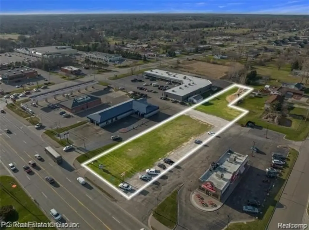
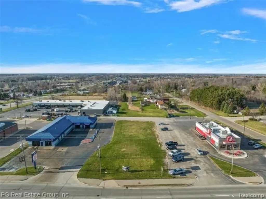
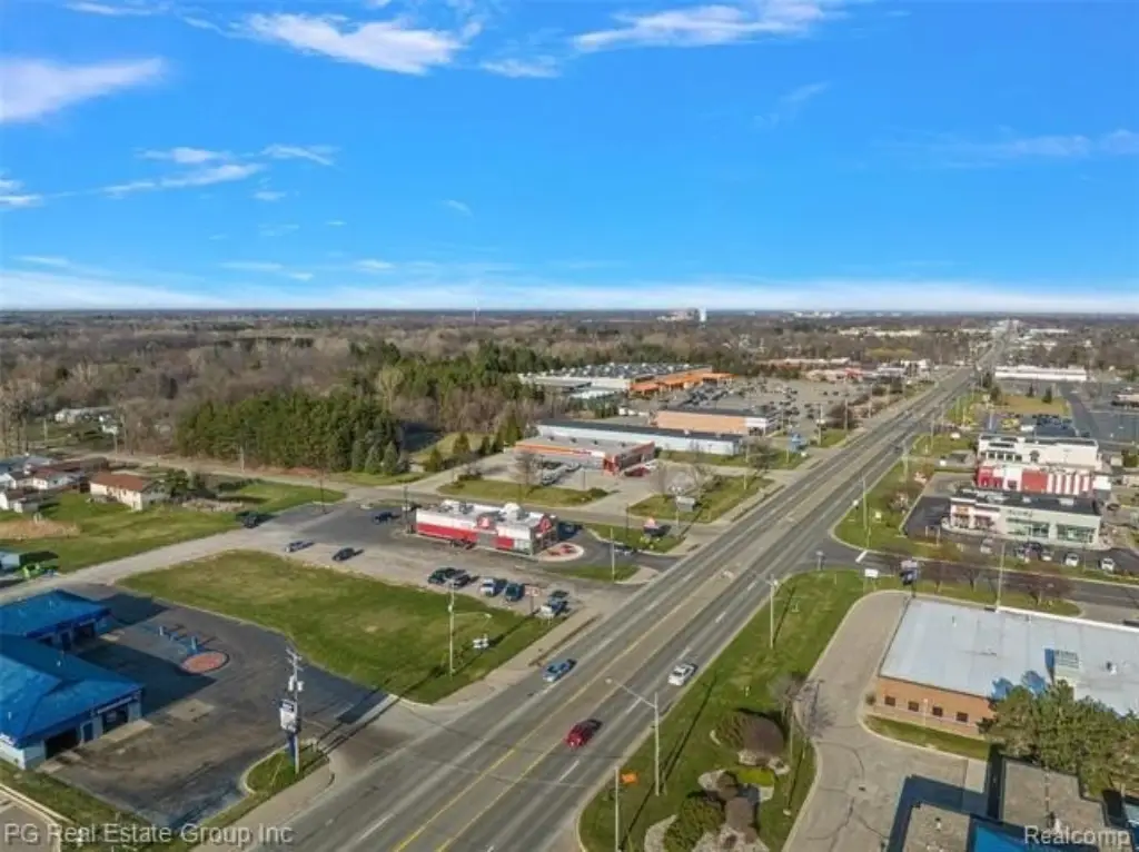
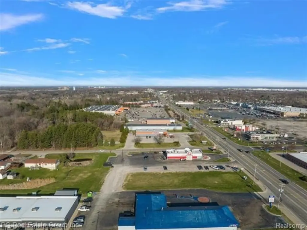
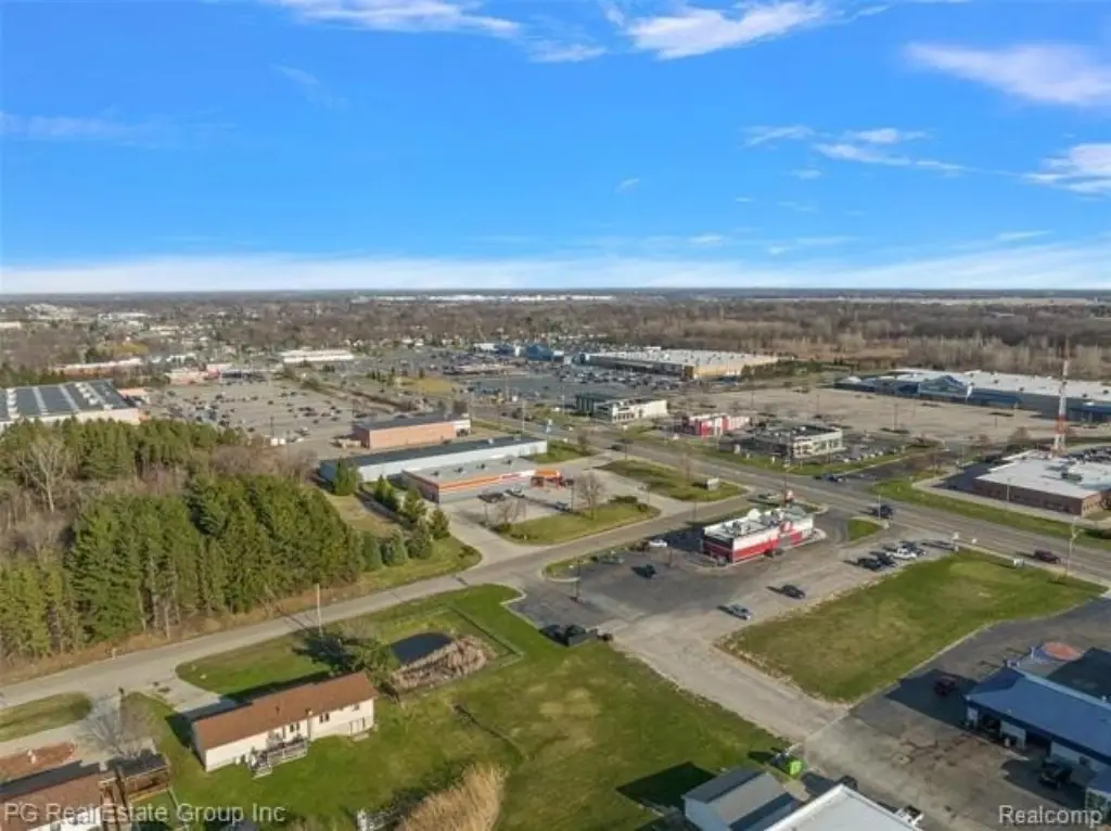
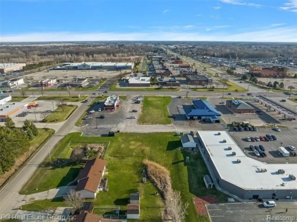
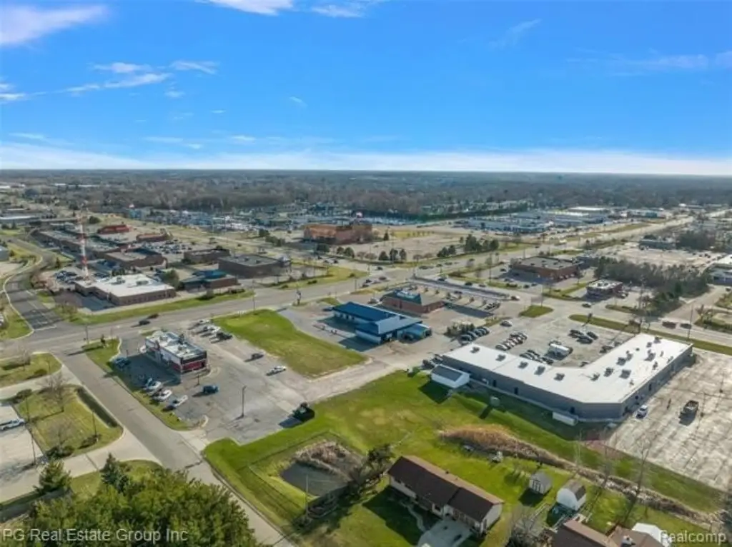
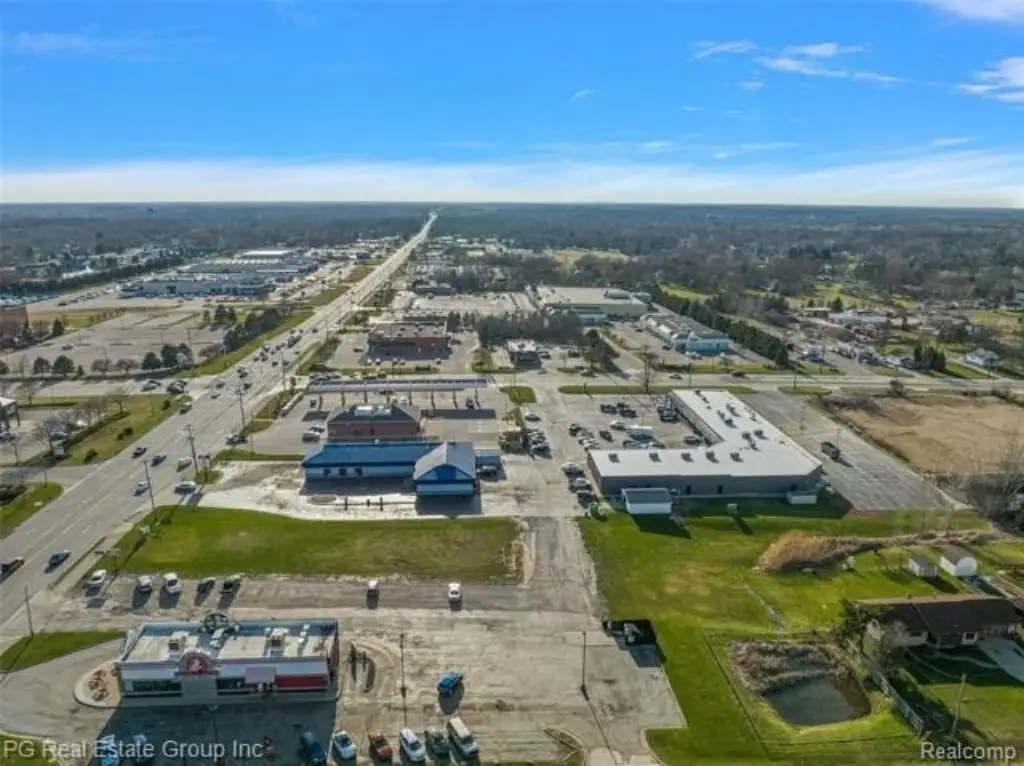
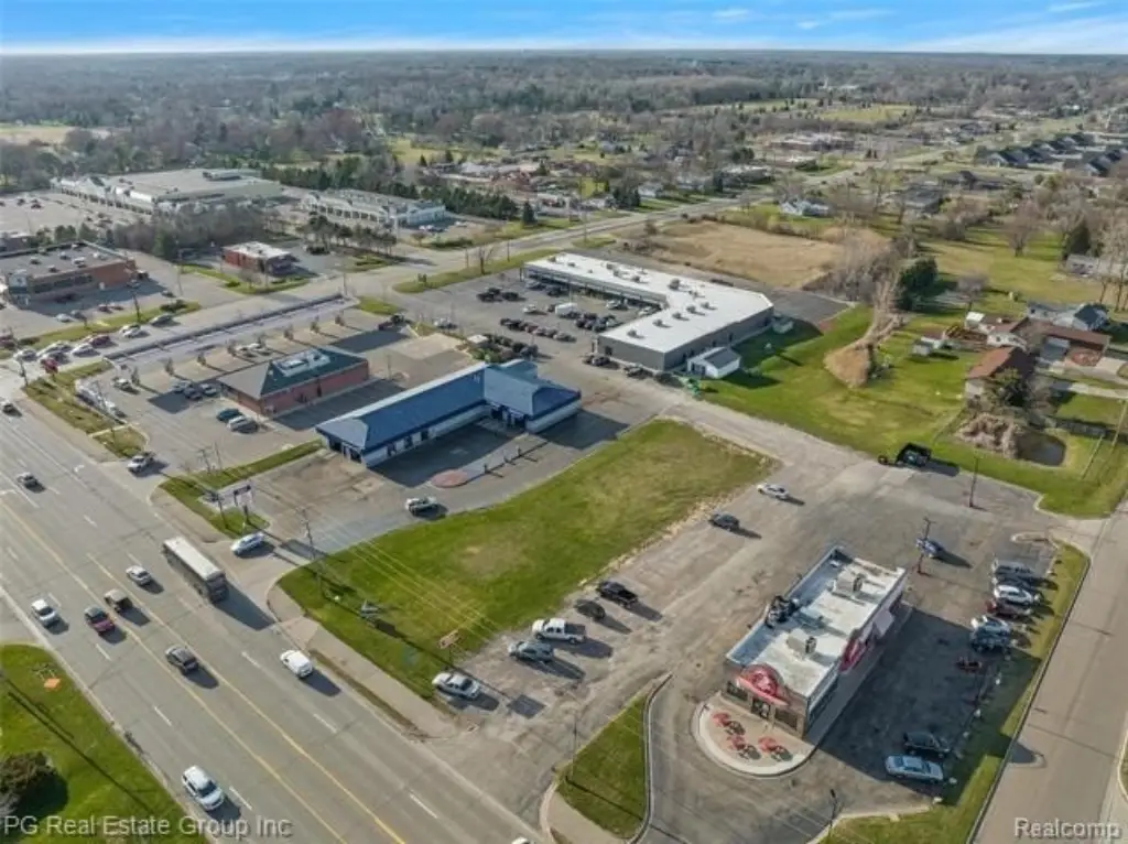
This vacant commercial land offering encompasses 1.33 acres formed by 4474 Corunna Road and 4480 Corunna Road. The property is designated for mixed-use development, with zoning identified for commercial and multifamily applications. Public water is available at the site, and a survey documenting the parcel split is on file.
The land fronts Corunna Road in Flint Township, with I-75 located minutes away. Major retail and service businesses are also identified in the surrounding area, providing established commercial context for the site. The survey and two-address configuration provide a defined basis for evaluating the property boundaries and development layout.
The land fronts Corunna Road in Flint Township, with I-75 located minutes away. Major retail and service businesses are also identified in the surrounding area, providing established commercial context for the site. The survey and two-address configuration provide a defined basis for evaluating the property boundaries and development layout.
Key Highlights
- 1.33 acres across 4474 Corunna Road and 4480 Corunna Road
- Mixed‑use zoning with commercial and multifamily classifications identified
- Public water source
Property Analytics
Unlock full access to Insights
Subscribe to Realmo Intelligence
Open Analytics
Current Use
Lease Details
Yes
Highway access
Yes
Paved road access
NNN (Triple Net)
Lease Type
Location Intelligence
Trade Area within ½ mile
672
Businesses Nearby
Explore this area
Business Placement
Demographics for 48532, MI
19,247
Population
9,093
Households
2.1
Avg Household Size
43
Median Age
19%
College-Educated
88%
High-School Grad
16.0 sq mi
ZIP Area
1,203
Density / Sq Mi
$58,118
Median Household Income
$34,361
Median Earnings
$929
Median Rent
$157,300
Median Home Value
Check the figures for this property
Cap Rate, Value Estimation, Potential NOI and more
View Realmo Analytics

Questions? Ask Rey
Realmo’s AI knows this listing — price, zoning, demand, history. Ask anything.



Frequently Asked Questions
What type of property is this?
Commercial land - The parcel carries mixed-use zoning and is served by public water.
Where is this commercial land located?
The property is located at 4474 CORUNNA Road Flint, MI.
What is the lease rate?
The lease rate is $6,000/Mo.
What are key features of this property?
This property features: 1.33 acres across 4474 Corunna Road and 4480 Corunna Road; Mixed‑use zoning with commercial and multifamily classifications identified; Public water source



