4110 Camargo Road, Mt Sterling, KY 40353
- Added:
- Jul 29, 2025
- Days on Market:
- 342
- Last Refresh:
- Jul 5 at 3:06 am
Property Features for 4110 Camargo Road
General Information
- Property type
- Land
- Property subtype
- Other
- Standard status
- Active
- APN
- 033-90-01-047.00
- Lot size
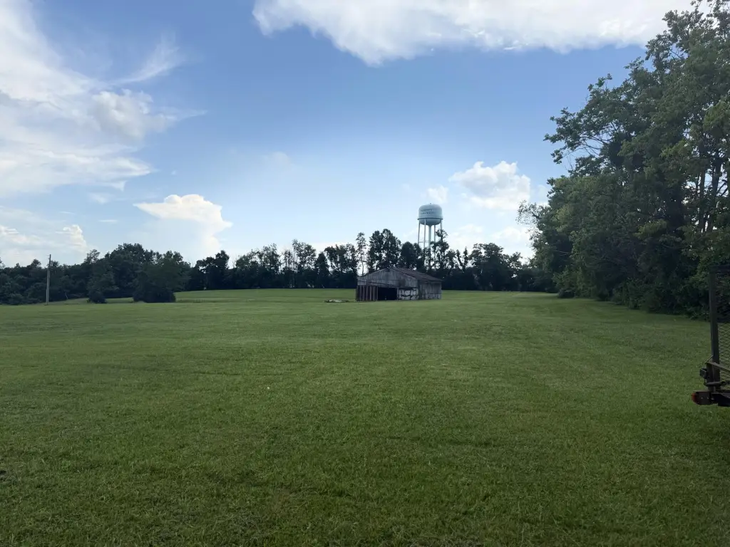
- 6.80 Acres
Utilities
- Utilities
- Water Available
Listing agent Jessica Maloney (859) 398-9266
Listing office Denniston Realty 1505 Old Silo View Ct, Mt. Sterling, KY (859) 498-6309
Listing date Jul 29, 2025
Copyright © 2026 ImagineMLS. All rights reserved. All information provided by the listing agent/broker is deemed reliable but is not guaranteed and should be independently verified.
HighLights
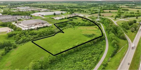
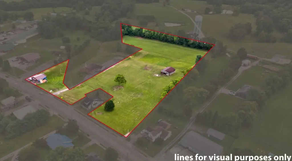
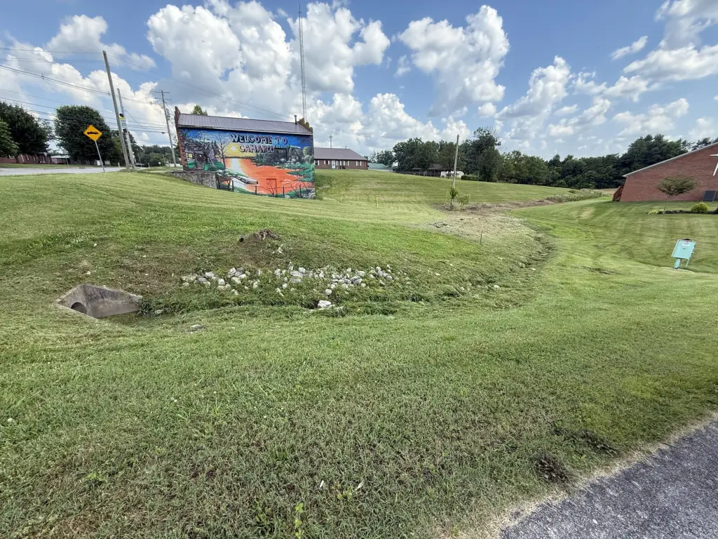
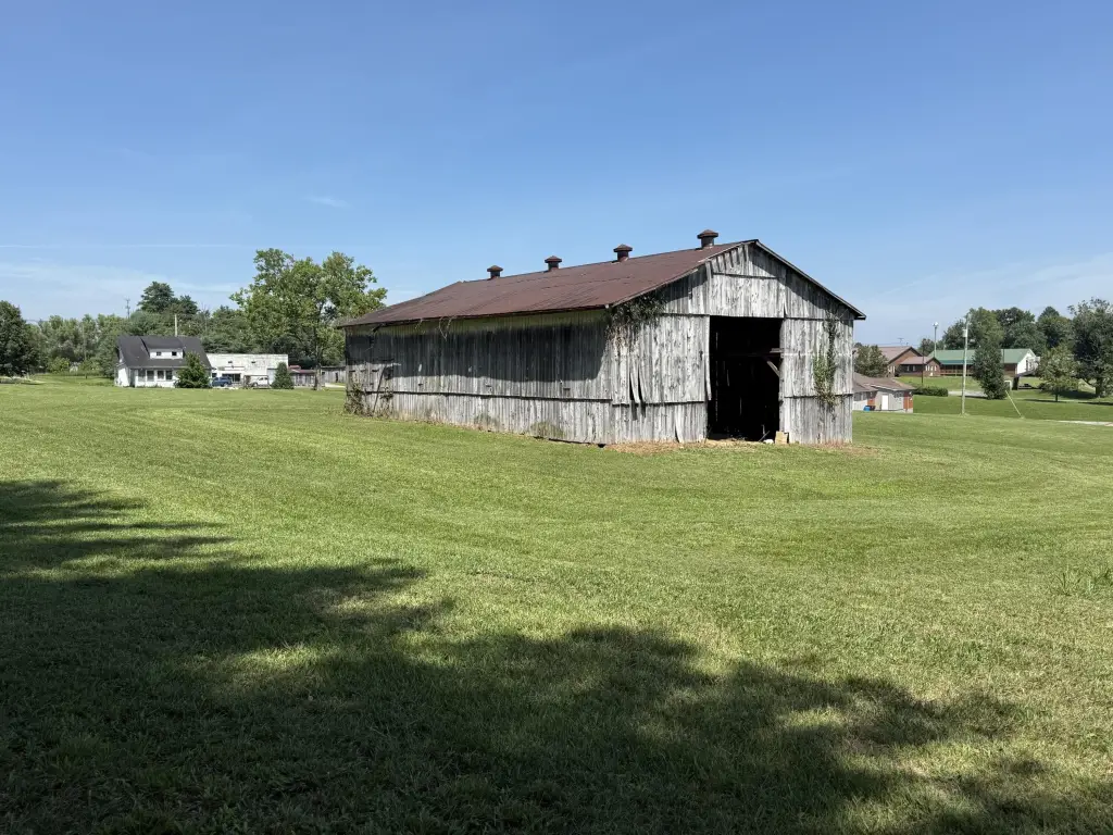
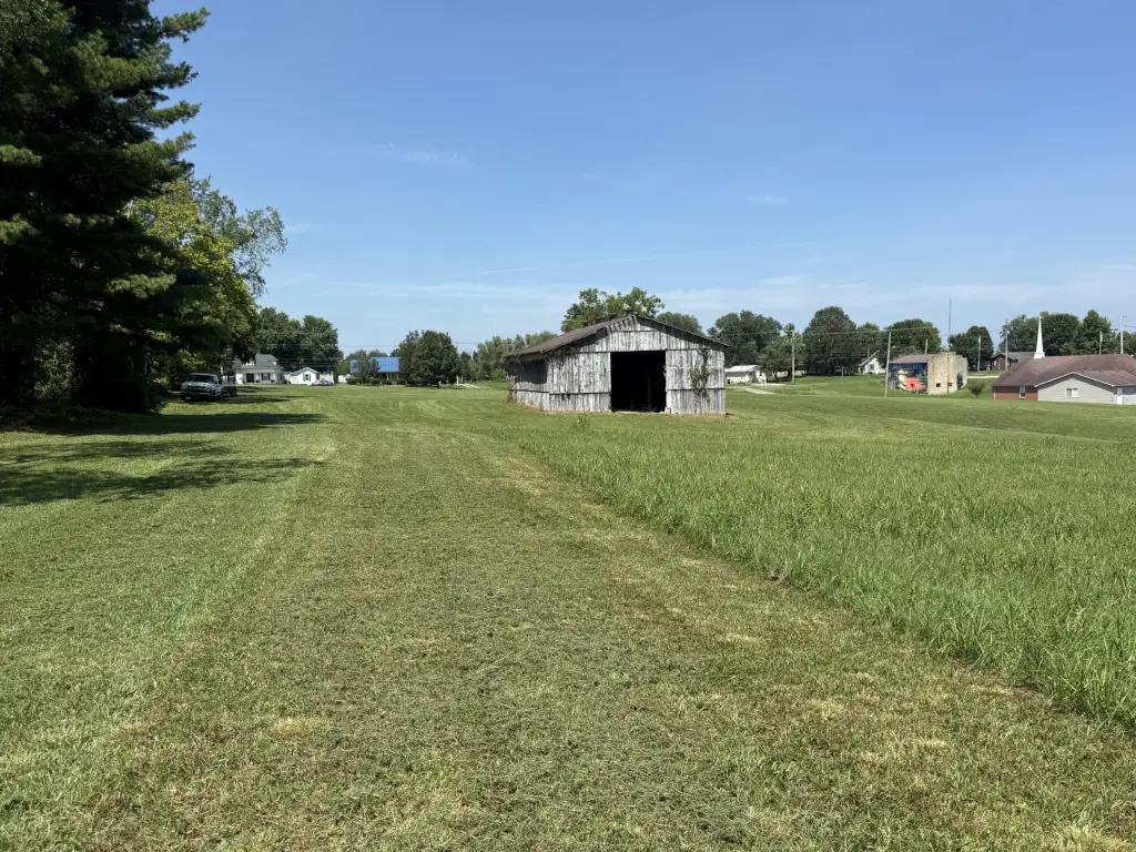
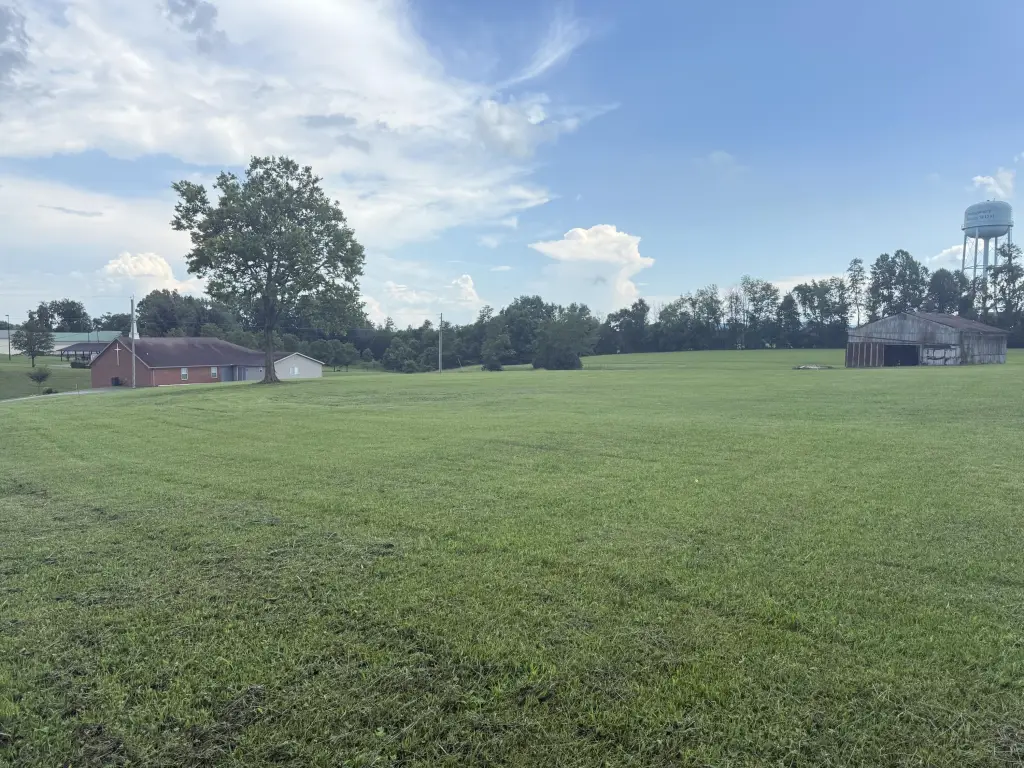
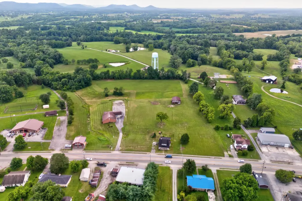
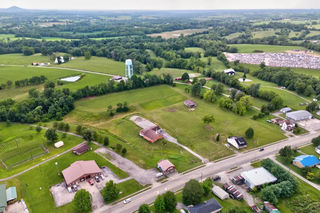
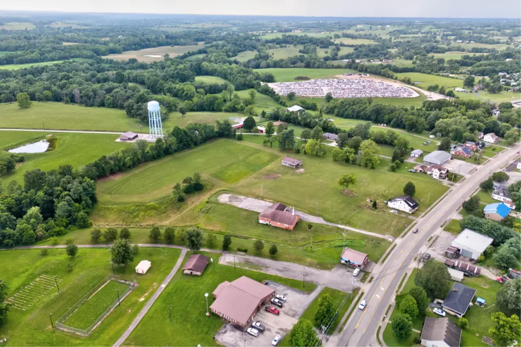
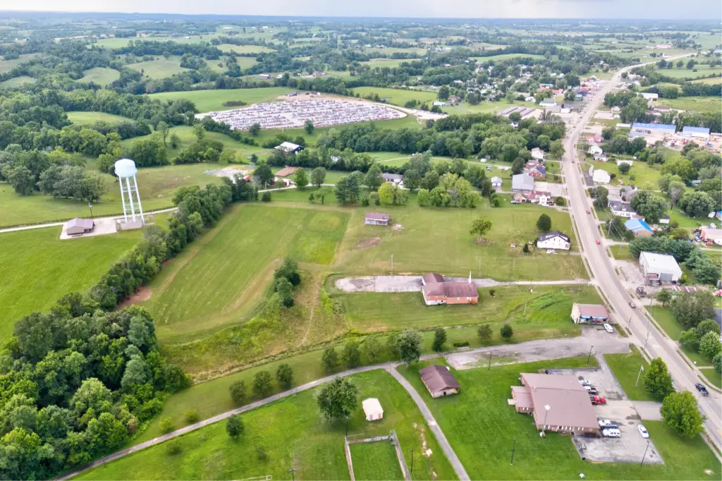
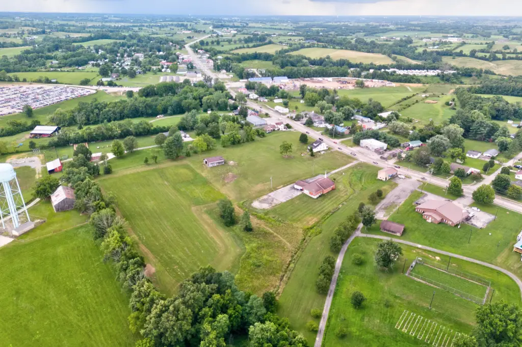
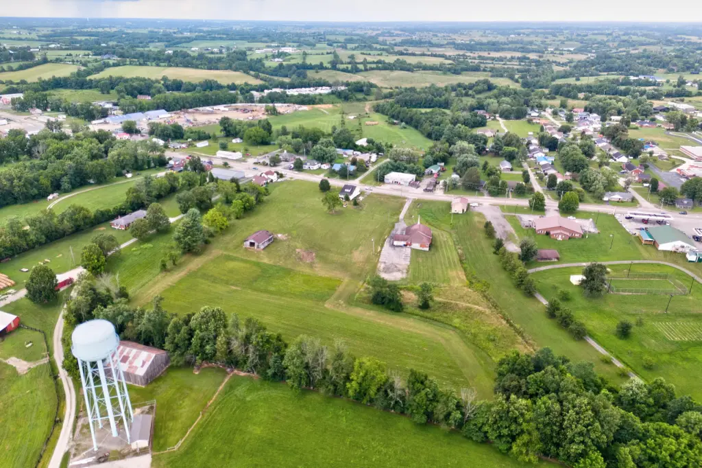
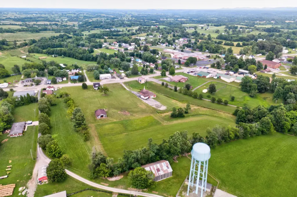
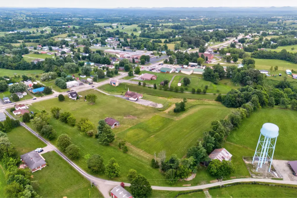
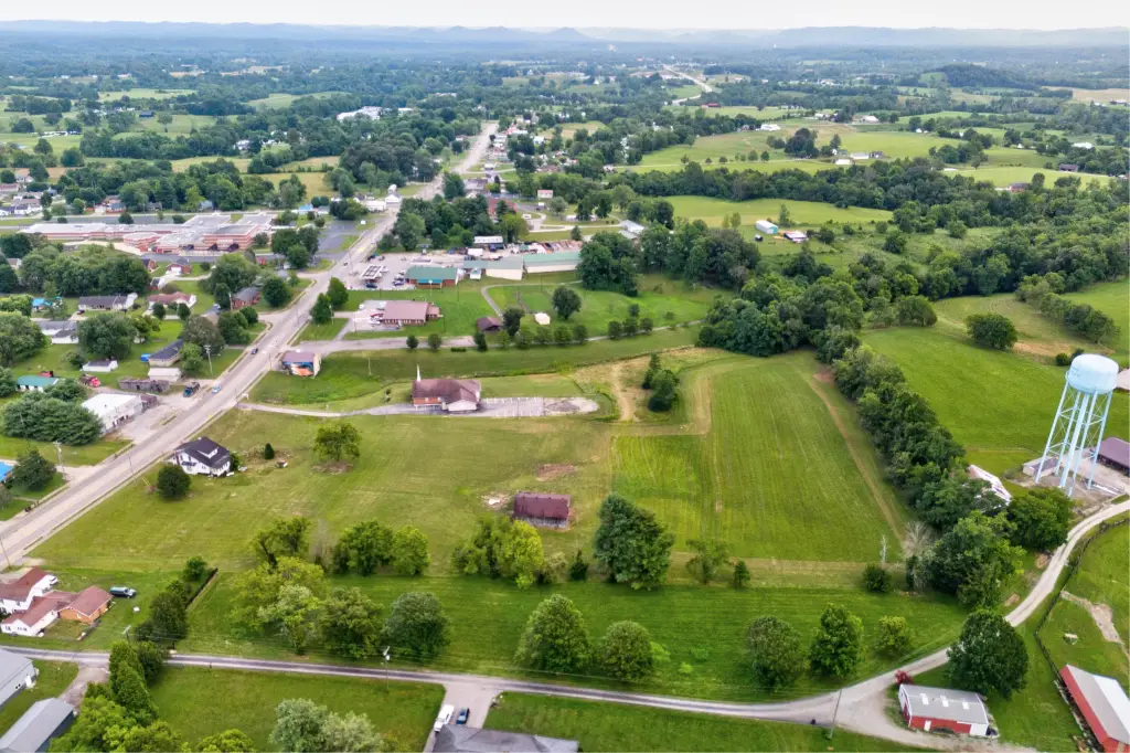
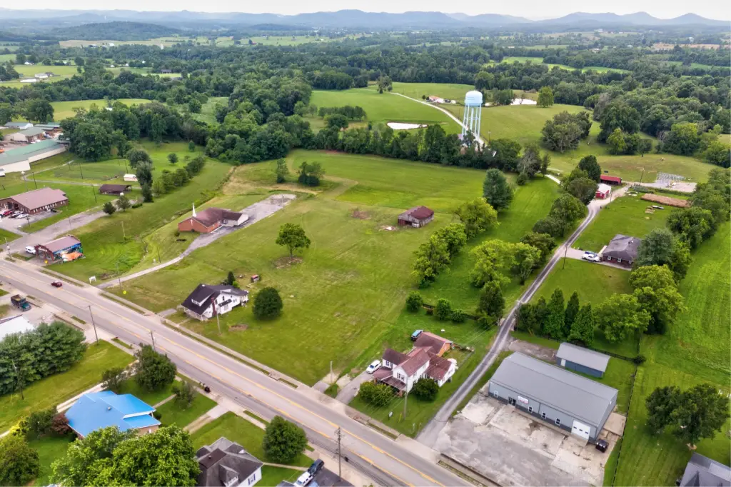
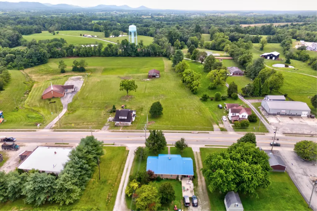
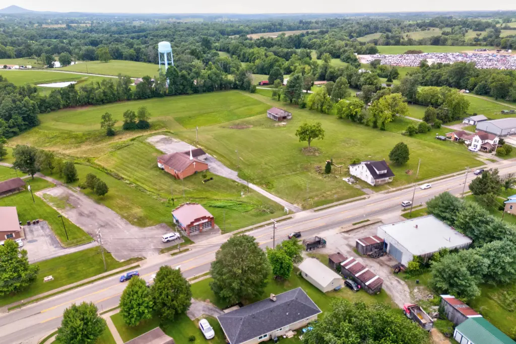
- Prime 6.8‑acre commercial lot with HIGH VISIBILITY on Highway 460 (400 ft frontage, 14,000+ daily car traffic).
- No zoning restrictions, offering endless possibilities.
- City sewer on‑site and water available.
- Strategic location: Steps from Camargo Elementary, 11 minutes from the interstate, and convenient access to Lexington, Cave Run Lake, and Red River Gorge.
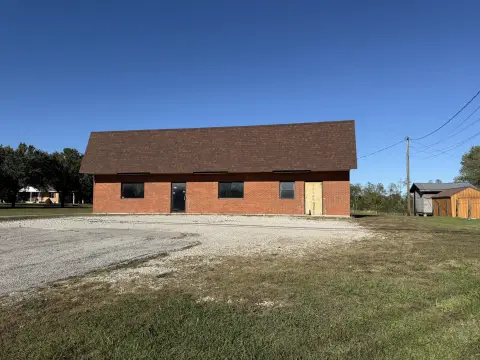
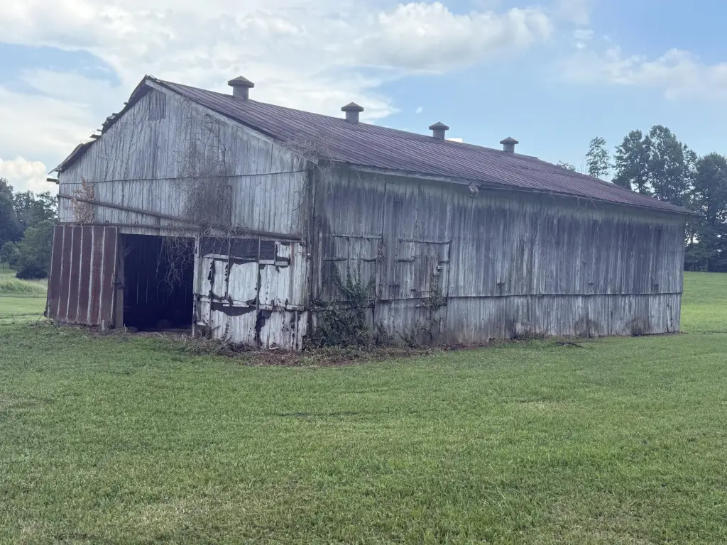
- Property is sold in 3 separate tracts and includes a brick building leased by the fire department, providing IMMEDIATE INCOME.
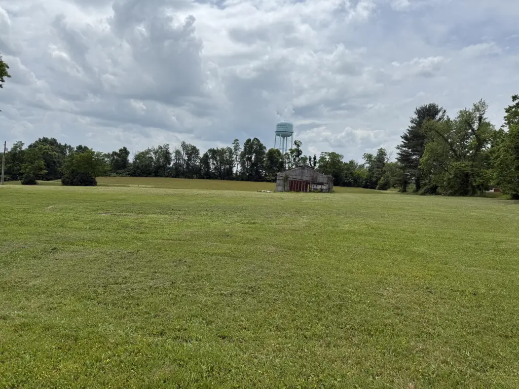
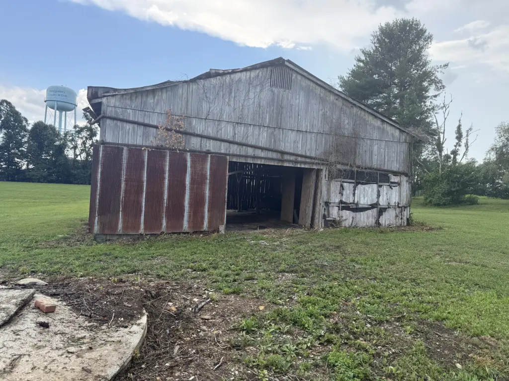
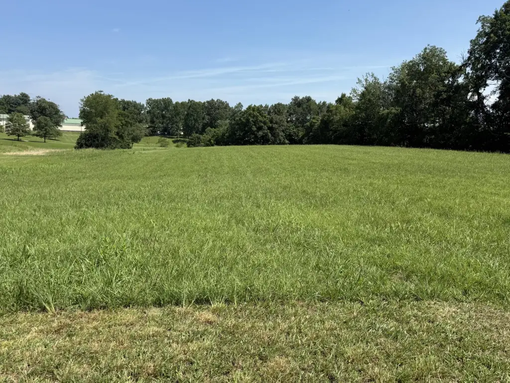
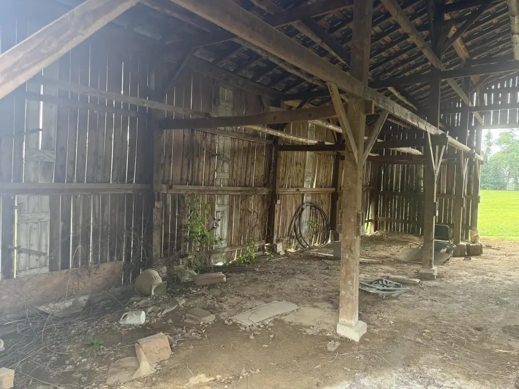
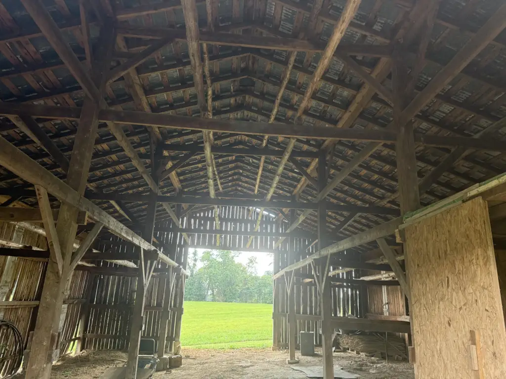
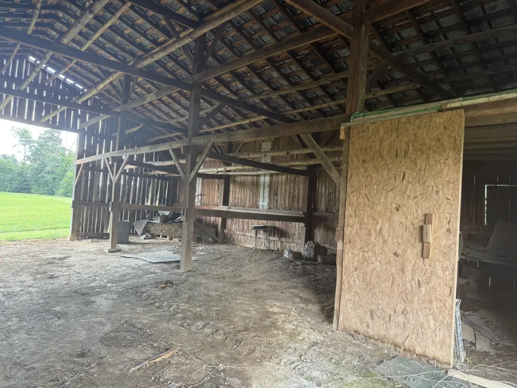
- Mostly flat land with gentle rolls and two entry points.
Overview
The land is located on Highway 460 at 4110 Camargo Road, near Camargo Elementary in Camargo, Kentucky. Public remarks indicate exposure from more than 14,000 daily cars on the highway. The site is described as being about 11 minutes from the interstate, approximately 45 minutes from Lexington, and within about 30 to 45 minutes of Cave Run Lake and Red River Gorge.
With no zoning reported in the listing remarks, the property may suit a range of uses depending on applicable approvals. The large, accessible site with highway frontage, municipal sewer, and existing farm-style improvements can support a variety of operating concepts, subject to buyer diligence and permitting requirements.
Current Use by Public Records
Location Insight
- Map
- Local Demand
- City
- Mt Sterling
- County
- Montgomery
- State
- Kentucky
- Longitude
- -83.892638
- Latitude
- 37.994438