Commercial Land with Highway
For Sale
$970,000
360 E US41/M28 Highway, Negaunee, MI 49866
VACANT LAND, Negaunee, MI
Property SizeContact for details
Lot Size39.00 Acres
Days on Market1102
Property Features for 360 E US41/M28 Highway
General Information
Property type
Land
Property subtype
Other
Zoning description
Commercial
Lot features
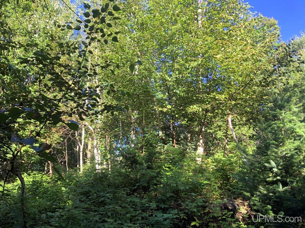
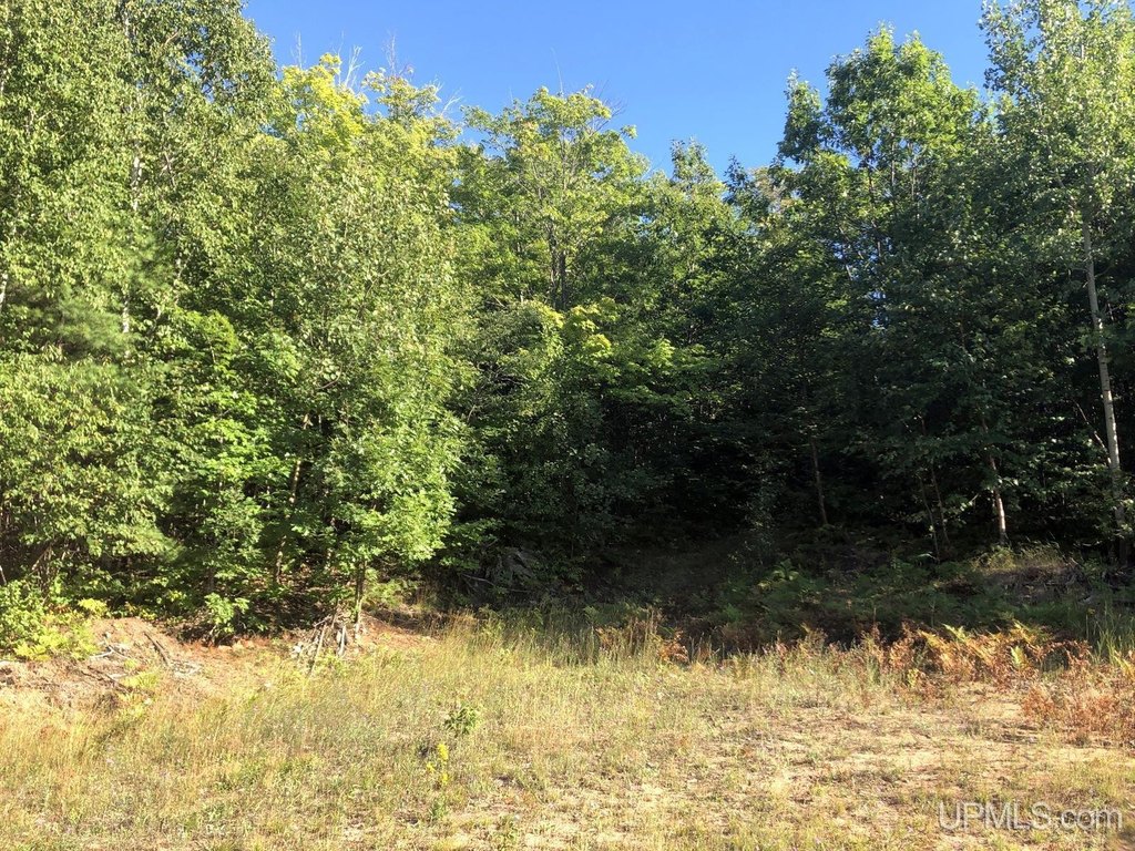
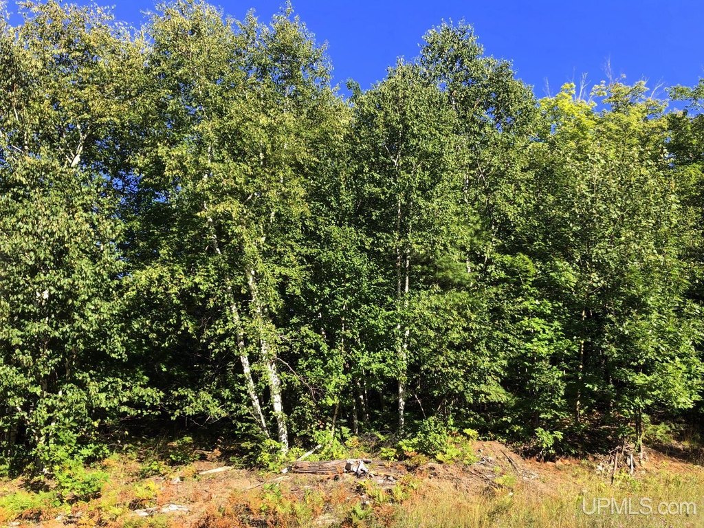
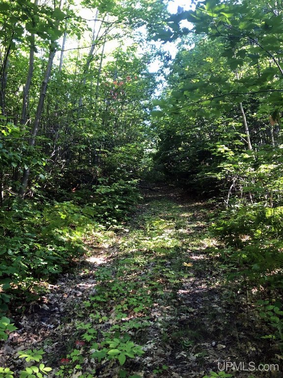
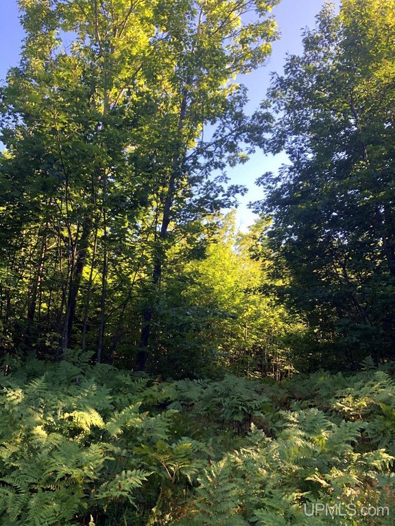
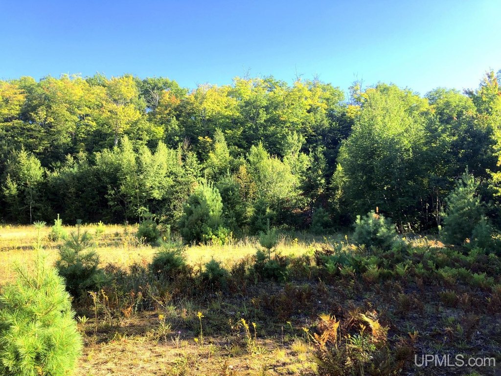
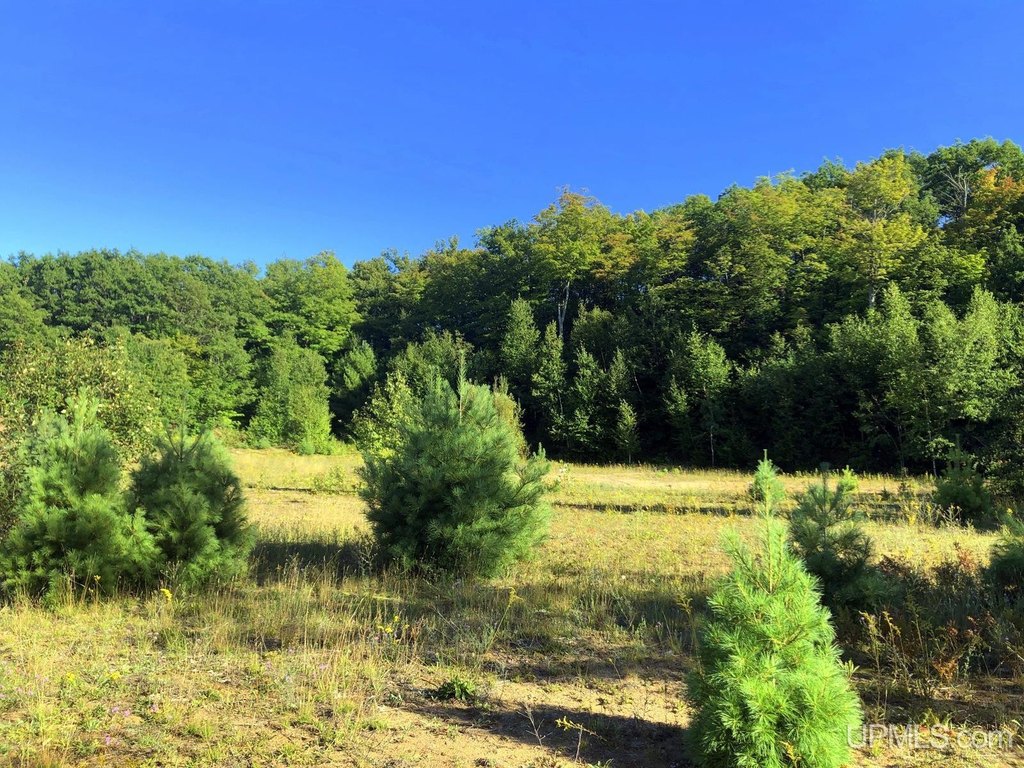
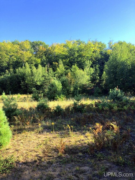
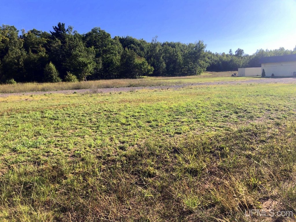
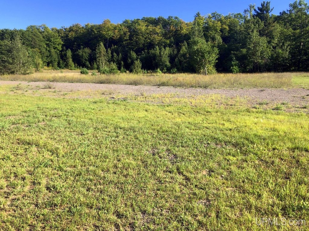
Main Street, Deep Lot - 150+ Ft., Easement, Large Lot - 65+ Ft., Rolling/ Hilly, Treed, Wooded, Cleared, Partially Wooded
Elementary school district
Negaunee Public Schools
Middle school district
Negaunee Public Schools
High school district
Negaunee Public Schools
Subdivision
Negaunee Twp (52020)
Standard status
Active
Lot size
39.00 Acres
Taxes and HOA fees
Tax Annual Amount
3322
Utilities
Water source
Public
Listing Agency:
NORTHERN MICHIGAN LAND BROKERS
(906) 225-5263
Listed By:
BRIAN OLSON · License #UPAR
(906) 869-6446
Added: Sep 20, 2023
Changed: Sep 3
Last Checked: Sep 25 at 9:06AM
MLS# 50122652
Copyright © 2026 Upper Peninsula Association of Realtors. All rights reserved. All information provided by the listing agent/broker is deemed reliable but is not guaranteed and should be independently verified.
Investment Insights
Based on property information with market context.
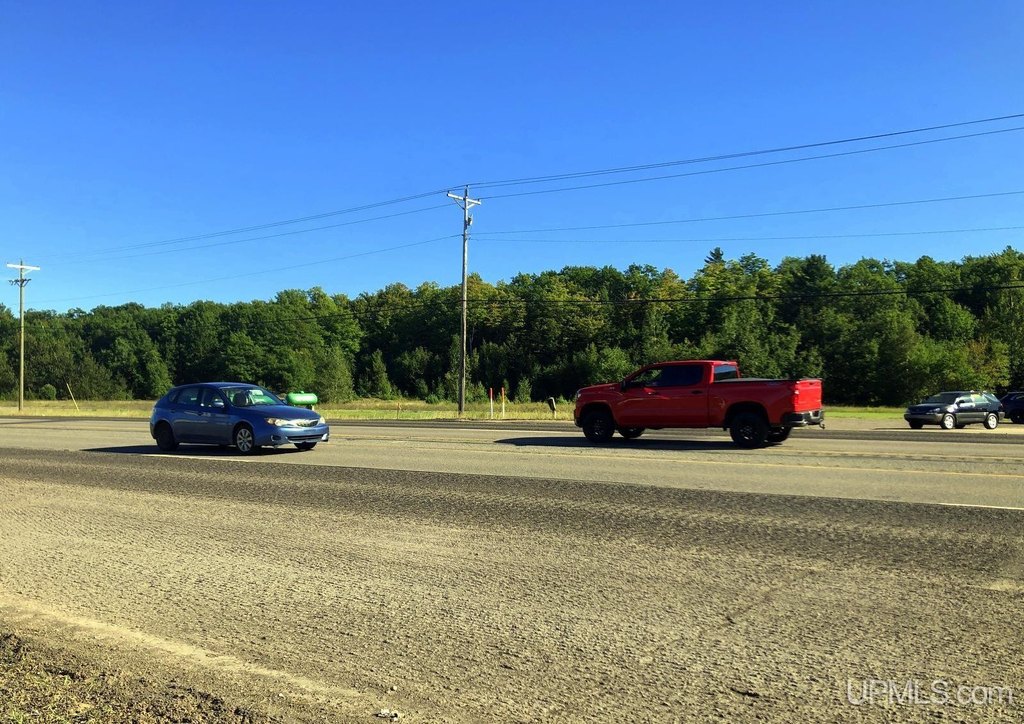
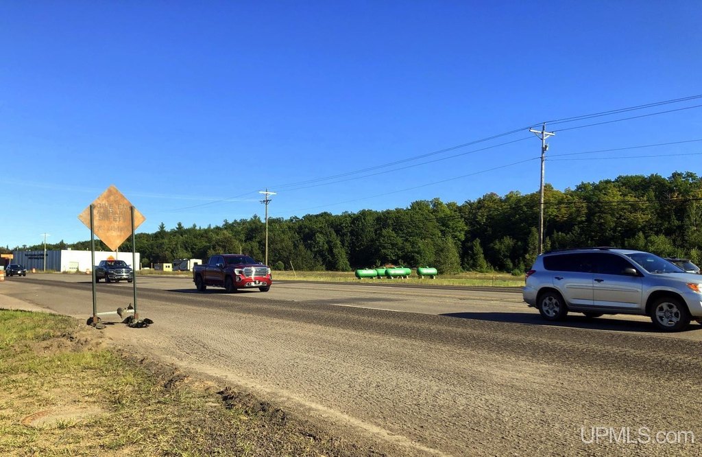
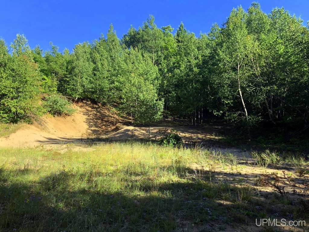
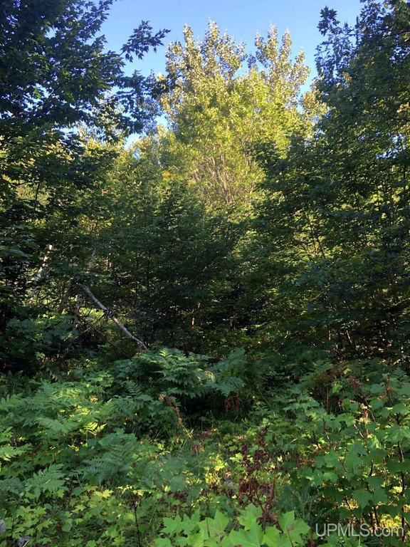
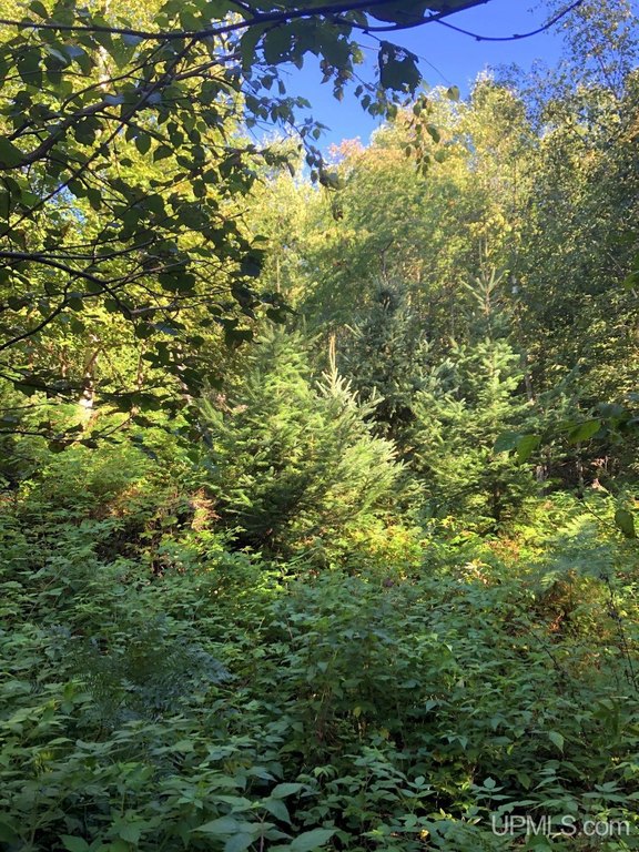
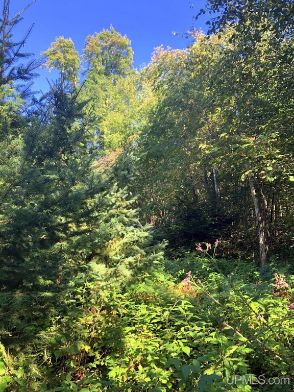
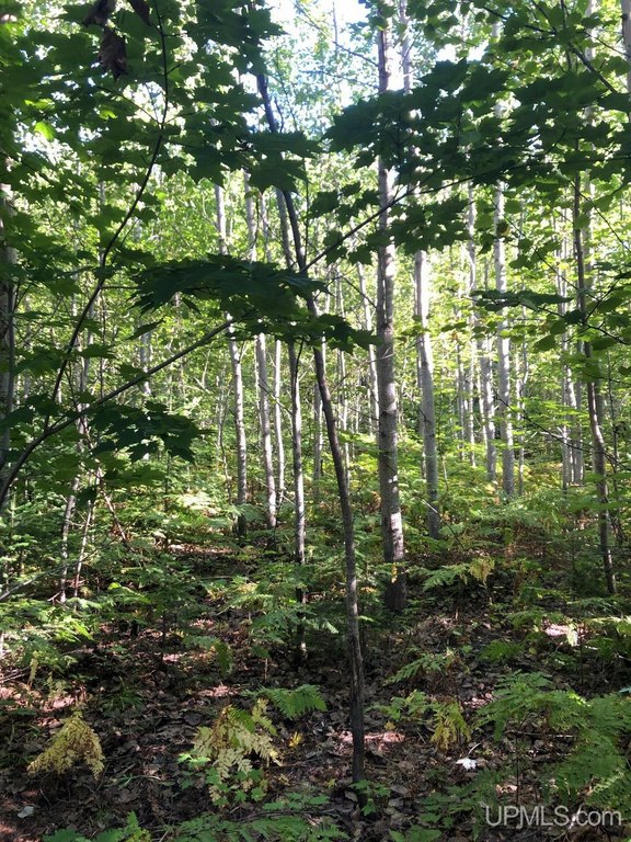
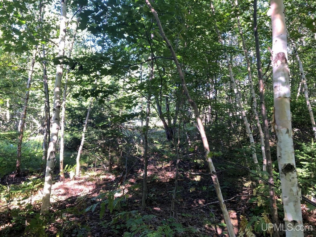
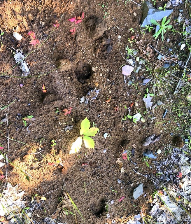
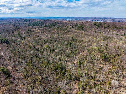
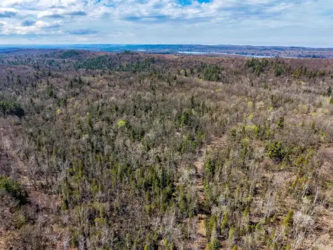
This 39-acre commercial land offering extends along US Highway 41/M28 in Negaunee Township, near the Marquette–Negaunee area. The site includes level ground that rises toward the south, with a mix of maple, oak, evergreen, and white birch trees. Sandy soil is present across the property, and public water is identified as a water source.
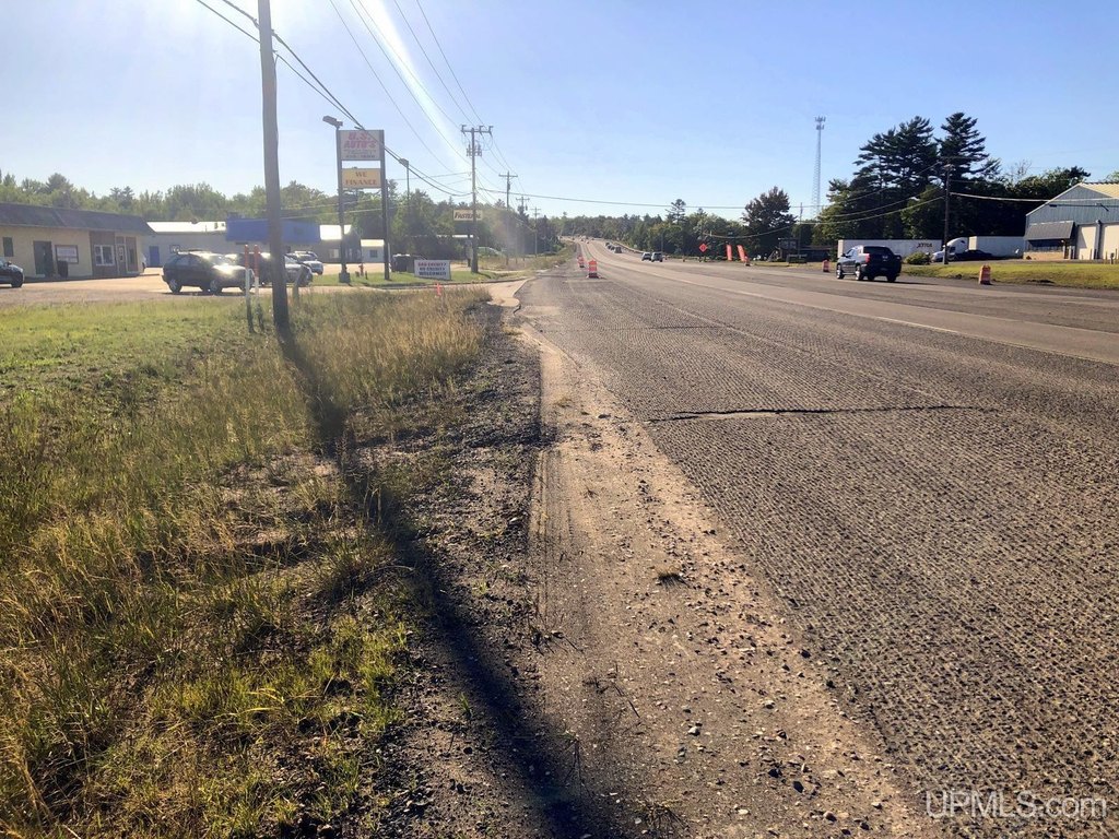
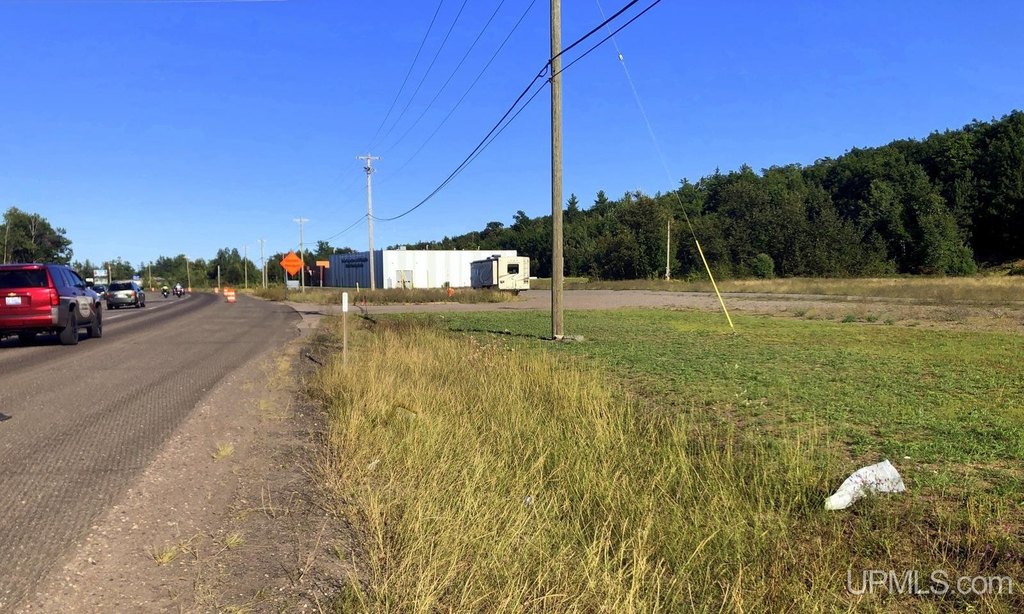
The parcel is positioned on the route connecting Marquette and Negaunee and serving travel toward communities across Michigan’s western Upper Peninsula. Its southern boundary nearly reaches the Iron Ore Heritage Trail, which is used by local residents and tourists. Forest Company Land surrounds the property, and the site is approximately one mile beyond the Marquette border. The property address is 360 E US41/M28 Highway, Negaunee, MI 49866-0000.
The parcel is positioned on the route connecting Marquette and Negaunee and serving travel toward communities across Michigan’s western Upper Peninsula. Its southern boundary nearly reaches the Iron Ore Heritage Trail, which is used by local residents and tourists. Forest Company Land surrounds the property, and the site is approximately one mile beyond the Marquette border. The property address is 360 E US41/M28 Highway, Negaunee, MI 49866-0000.
Key Highlights
- 39 acres of commercial land
- Frontage on US Highway 41/M28
- Public water source identified
Property Analytics
Current Use
Location Intelligence
Trade Area within ½ mile
43
Businesses Nearby
Explore this area
Business Placement
Demographics for 49866, MI
8,259
Population
3,723
Households
2.2
Avg Household Size
41
Median Age
34%
College-Educated
96%
High-School Grad
201.3 sq mi
ZIP Area
41
Density / Sq Mi
$83,433
Median Household Income
$47,467
Median Earnings
$900
Median Rent
$191,700
Median Home Value

Questions? Ask Rey
Realmo’s AI knows this listing — price, zoning, demand, history. Ask anything.







Frequently Asked Questions
What type of property is this?
Commercial land - Commercial land along US Highway 41/M28 with public water service and a wooded, gently changing terrain.
Where is this commercial land located?
The property is located at 360 E US41/M28 Highway Negaunee, MI.
What is the asking price?
The asking price for this property is $970,000.
What are key features of this property?
This property features: 39 acres of commercial land; Frontage on US Highway 41/M28; Public water source identified


