Wooded Hunting Land Bordering






For Sale
Under Contract
$159,000
303 Iron Mountain Heights, Superior, MT 59872
Land, Superior, MT
Property SizeContact for details
Lot Size23.00 Acres
Days on Market167
Property Features for 303 Iron Mountain Heights
General Information
Property type
Land
Property subtype
Other
Lot features
Wooded
Directions
I-90 W in Superior to Exit 47, left on 4th Ave E, left on River St, left on Diamond Rd, right on Railroad Rd, left on Iron Mountain Rd, property on right
Standard status
Active Under Contract
APN
54263135301010000
Lot size
23.00 Acres
Taxes and HOA fees
Tax Year
2025
Tax Description
S35, T17 N, R26 W, ACRES 23, TRACT IN GOVT LOT 6 & THE S2SW4 LYING SOUTH & WEST OF THE NP RR R/W
Tax Annual Amount
88
Legal Description
S35, T17 N, R26 W, ACRES 23, TRACT IN GOVT LOT 6 & THE S2SW4 LYING SOUTH & WEST OF THE NP RR R/W
Listing Agency:
PureWest Real Estate - Missoula
(406) 541-4000
Listed By:
Hannah Shelley · License #RRE-RBS-LIC-95162
(406) 270-0794
Added: Mar 9
Changed: Aug 21
Last Checked: Aug 22 at 3:06AM
MLS# 30065906
Copyright © 2026 Montana Regional MLS. All rights reserved. All information provided by the listing agent/broker is deemed reliable but is not guaranteed and should be independently verified.
Investment Insights
Based on property information with market context.
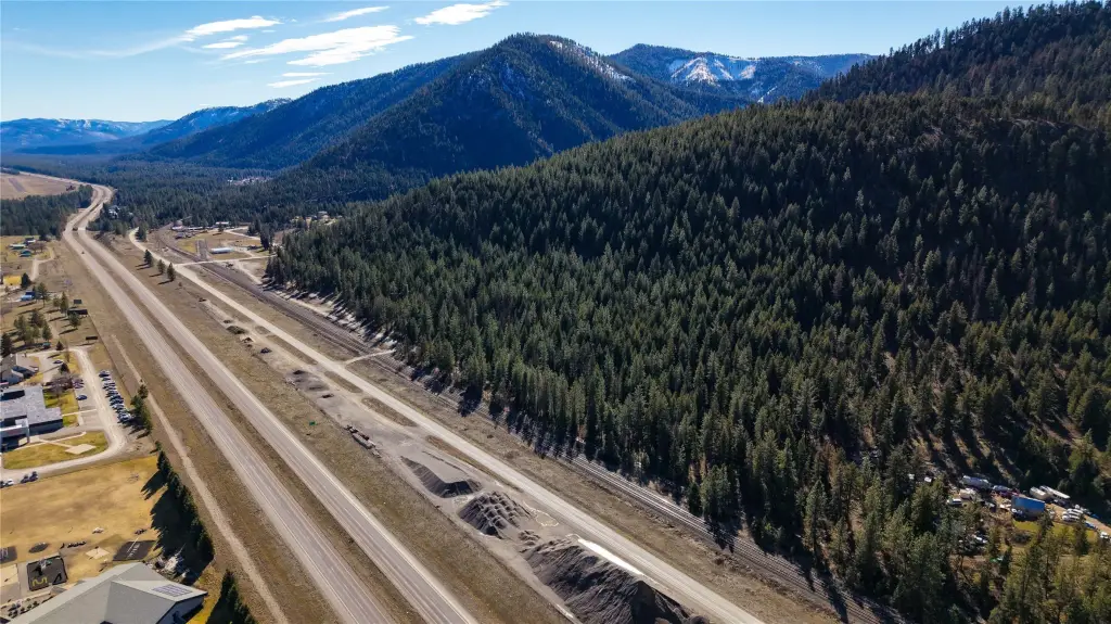
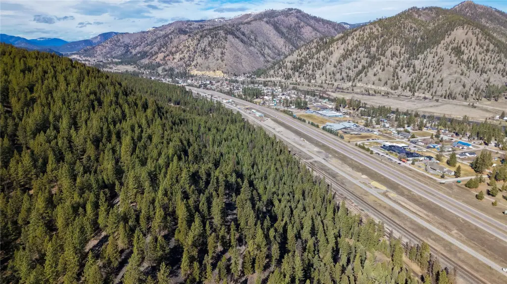
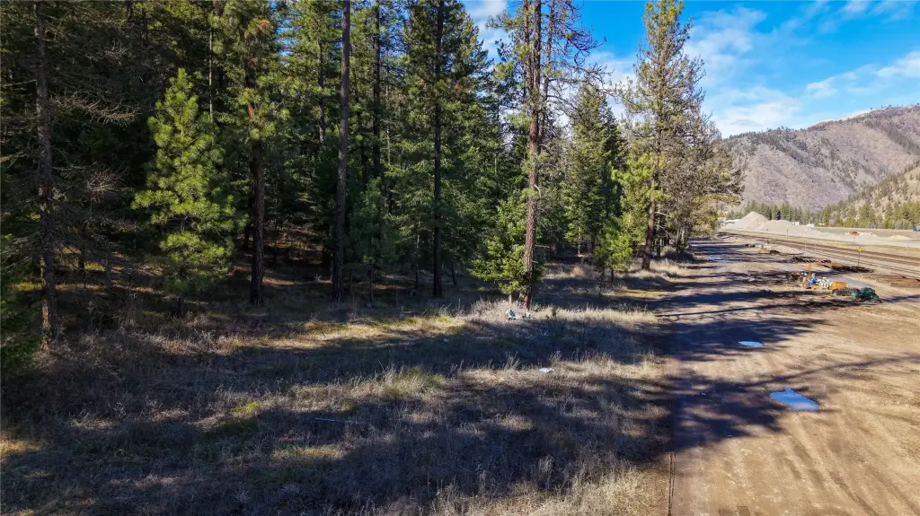
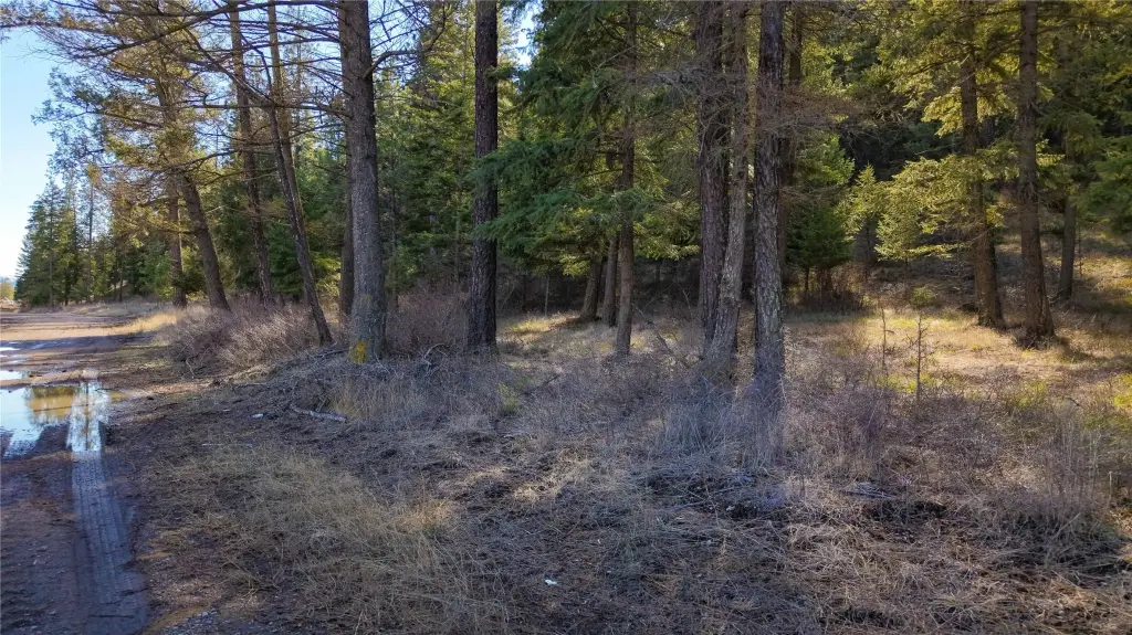
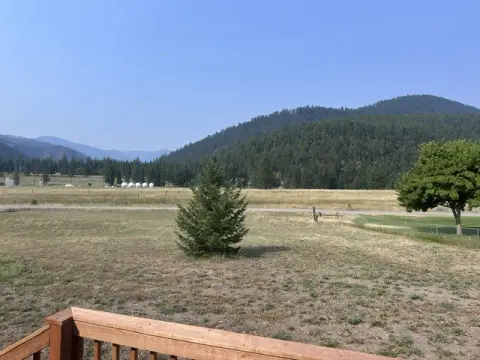
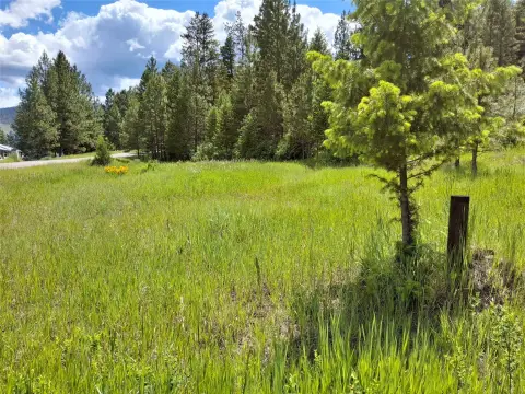
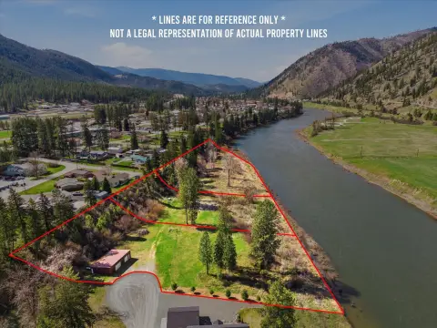
This 23-acre wooded hunting land parcel includes a cleared driveway leading to a primary building site, along with additional level areas suitable for future cabins, homes, or recreational structures. Power is nearby, and neighboring wells are producing. The property has no zoning or CCRs, providing flexibility for residential or recreational development subject to applicable requirements.
The parcel borders USFS public land, connecting directly with extensive public ground used for hunting, hiking, riding, and year-round outdoor recreation. Located in Superior, Montana, the property combines a forested setting with proximity to local amenities. Marketable timber and abundant wildlife are also present, supporting a range of outdoor and land-use possibilities.
The parcel borders USFS public land, connecting directly with extensive public ground used for hunting, hiking, riding, and year-round outdoor recreation. Located in Superior, Montana, the property combines a forested setting with proximity to local amenities. Marketable timber and abundant wildlife are also present, supporting a range of outdoor and land-use possibilities.
Key Highlights
- 23 wooded acres with a cleared driveway to a primary building site
- Borders USFS public land with access to extensive hunting, hiking, riding, and outdoor recreation areas
- Additional level areas offer locations for future cabins, homes, or recreational structures
Property Analytics
Property Profile
Current Use
Location Intelligence
Trade Area within ½ mile
66
Businesses Nearby
Explore this area
Business Placement
Demographics for 59872, MT
2,406
Population
1,300
Households
1.9
Avg Household Size
54
Median Age
23%
College-Educated
92%
High-School Grad
514.2 sq mi
ZIP Area
5
Density / Sq Mi
$52,083
Median Household Income
$34,194
Median Earnings
$697
Median Rent
$314,400
Median Home Value

Questions? Ask Rey
Realmo’s AI knows this listing — price, zoning, demand, history. Ask anything.




Frequently Asked Questions
What type of property is this?
Hunting land - Wooded parcel with a cleared driveway, level building areas, and no zoning or CCRs.
Where is this hunting land located?
The property is located at 303 Iron Mountain Heights Superior, MT.
What is the asking price?
The asking price for this property is $159,000.
What are key features of this property?
This property features: 23 wooded acres with a cleared driveway to a primary building site; Borders USFS public land with access to extensive hunting, hiking, riding, and outdoor recreation areas; Additional level areas offer locations for future cabins, homes, or recreational structures


