Recreation and Homesite Land
Polkoski Way lot 3 9.43 Acres Csm 2307 Iron River, WI 54847
For Sale
$65,000
LAND - Iron River, WI
Lot Size9.43 Acres
Days on Market78
Property Features for Polkoski Way lot 3 9.43 Acres Csm 2307
General Information
Property type
Land
Property subtype
Other
Parking features
Off Street
Standard status
Active
Lot size
9.43 Acres
Taxes and HOA fees
Tax Year
2025
Tax Annual Amount
272
Listing Agency:
RE/MAX Results
(952) 829-2900
Listed By:
Sherri Dehahn
(952) 829-2900
Added: May 13
Changed: Jun 10
Last Checked: Jul 29 at 11:06PM
MLS# 6125201
Copyright © 2026 Lake Superior Association of REALTORS®. All rights reserved. All information provided by the listing agent/broker is deemed reliable but is not guaranteed and should be independently verified.
Investment Insights
Based on property information with market context.
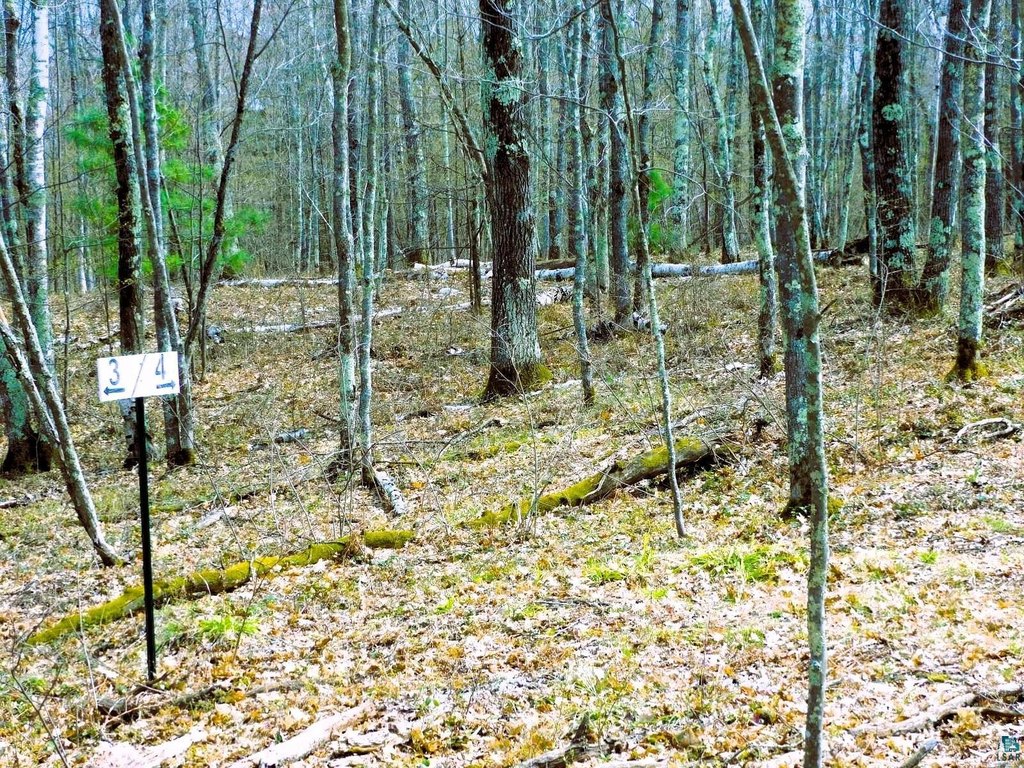
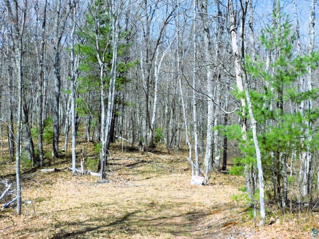
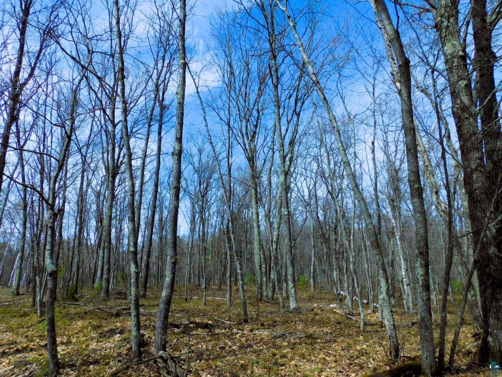
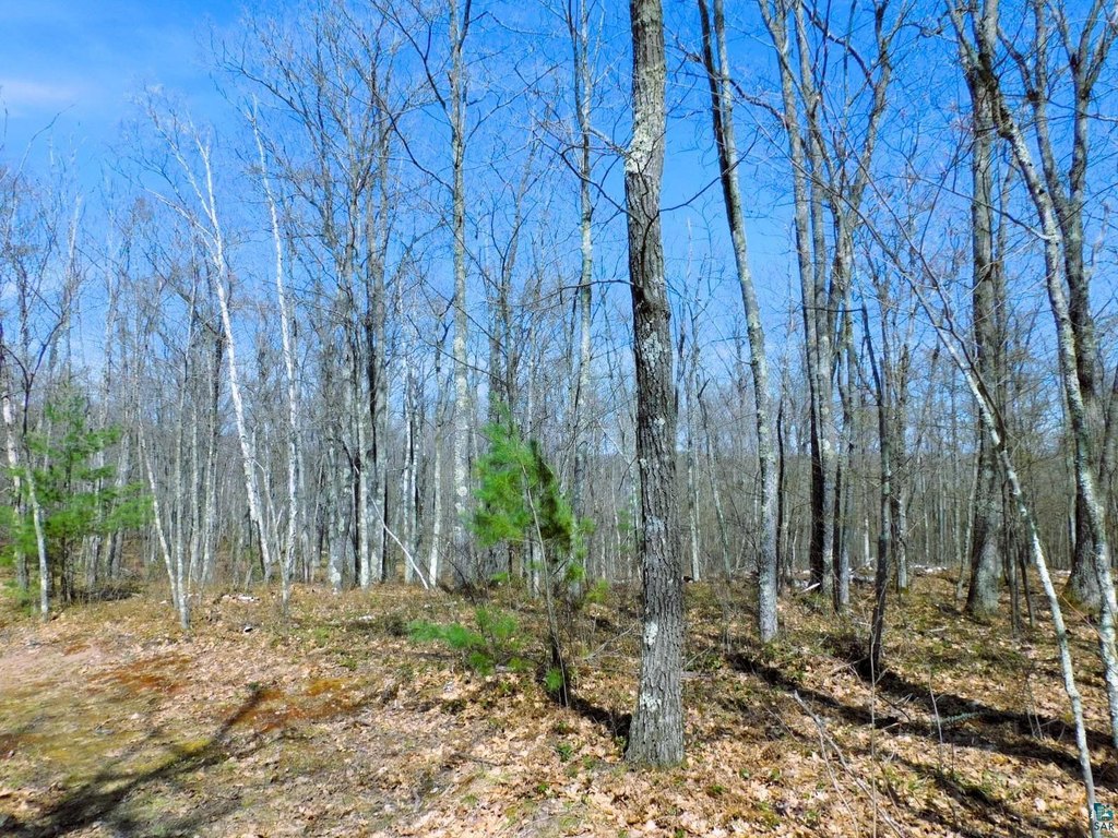
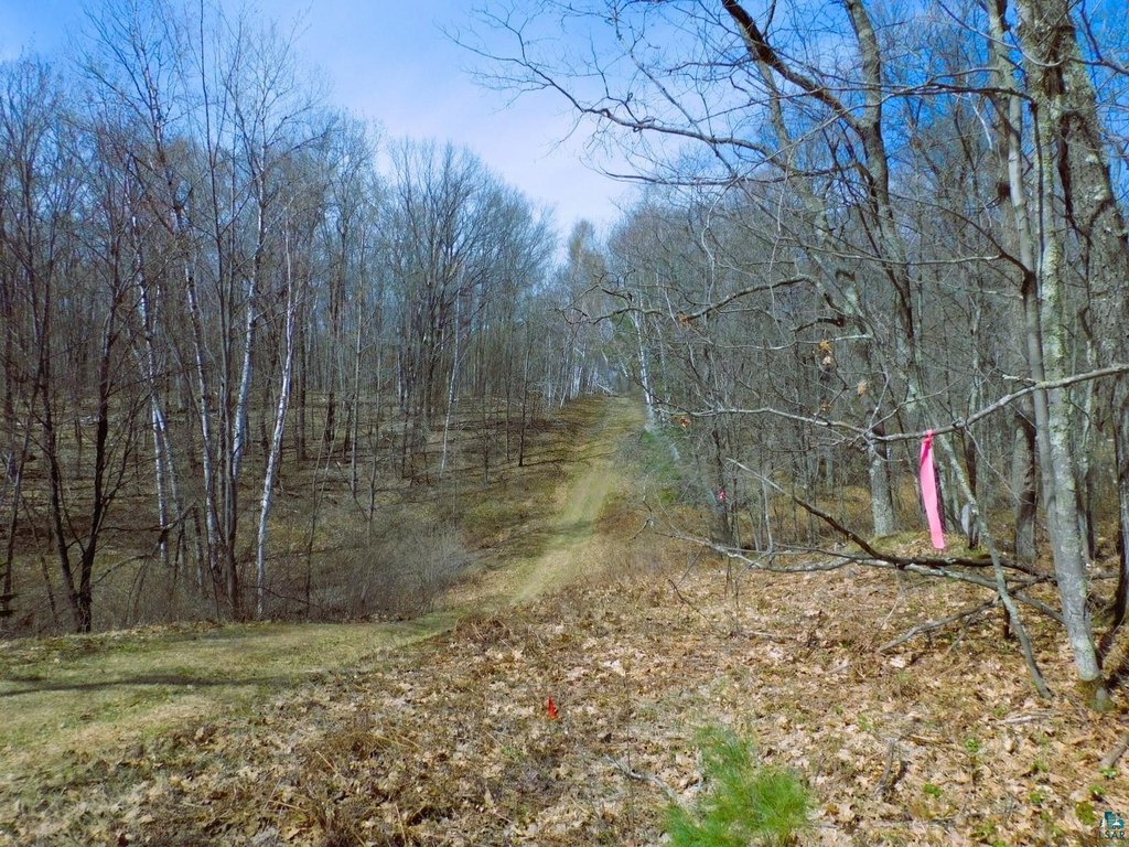
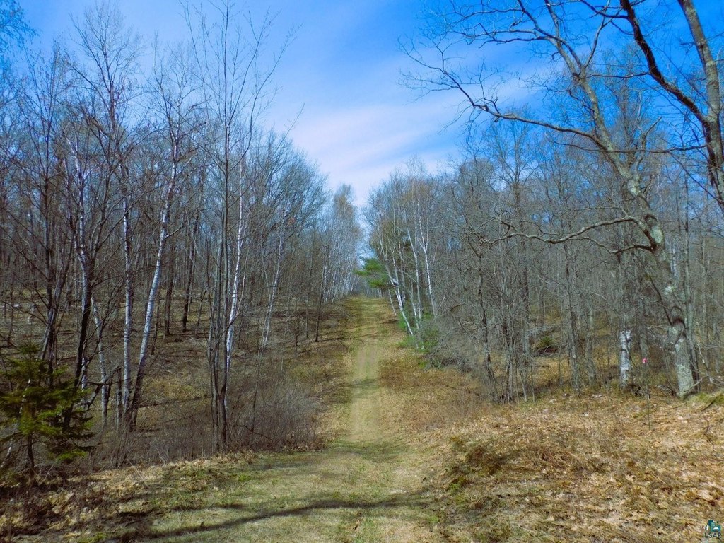
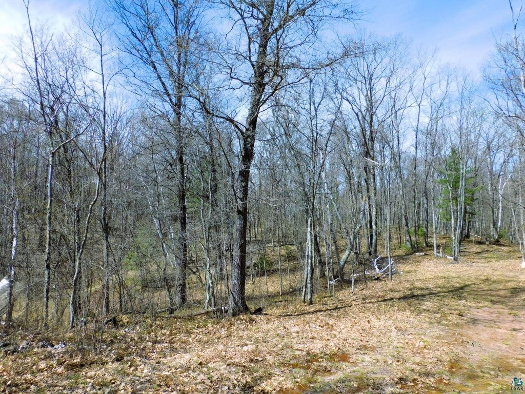
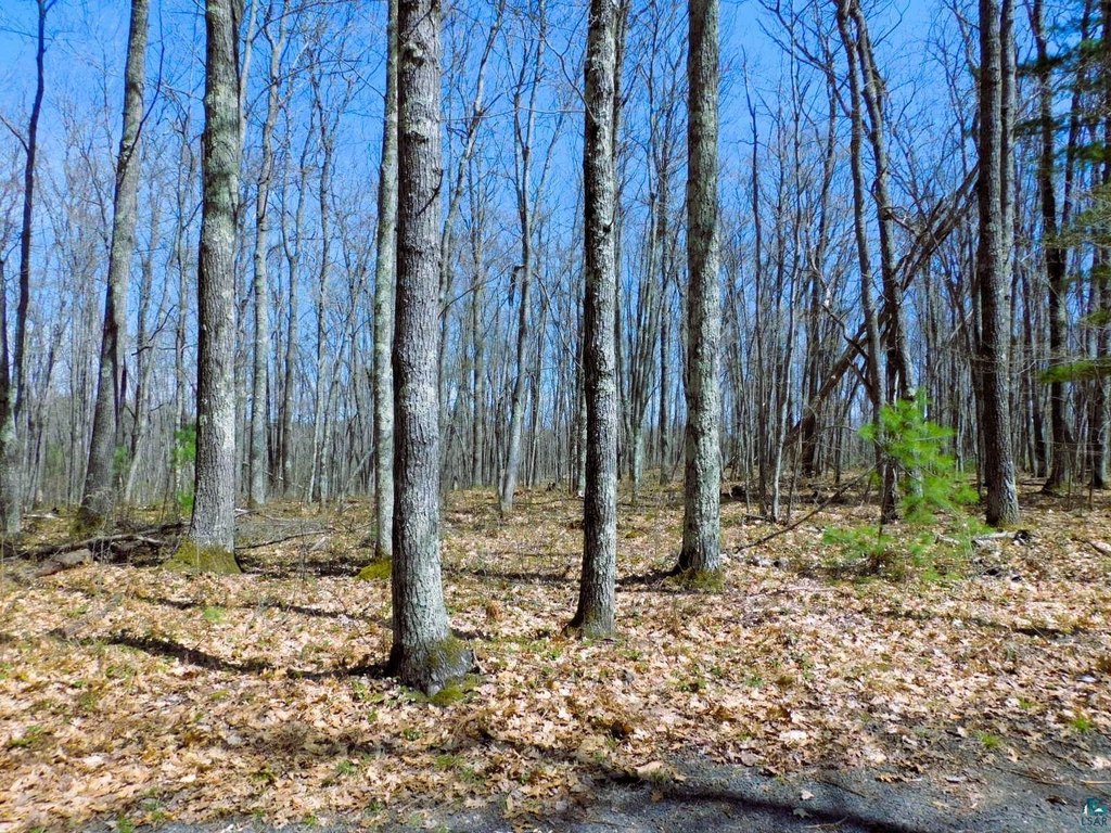
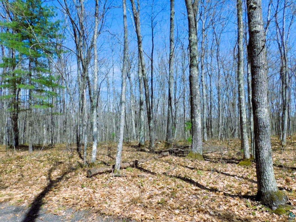
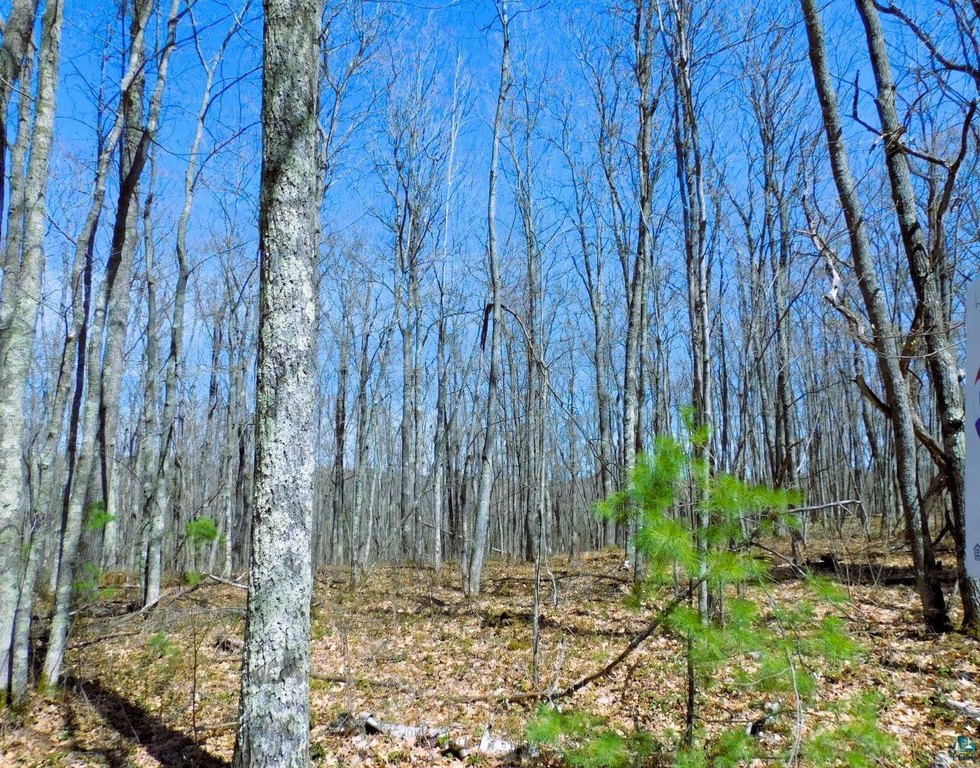
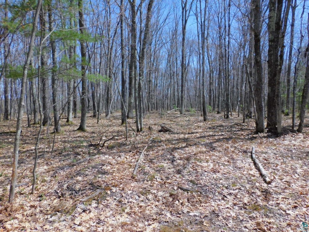
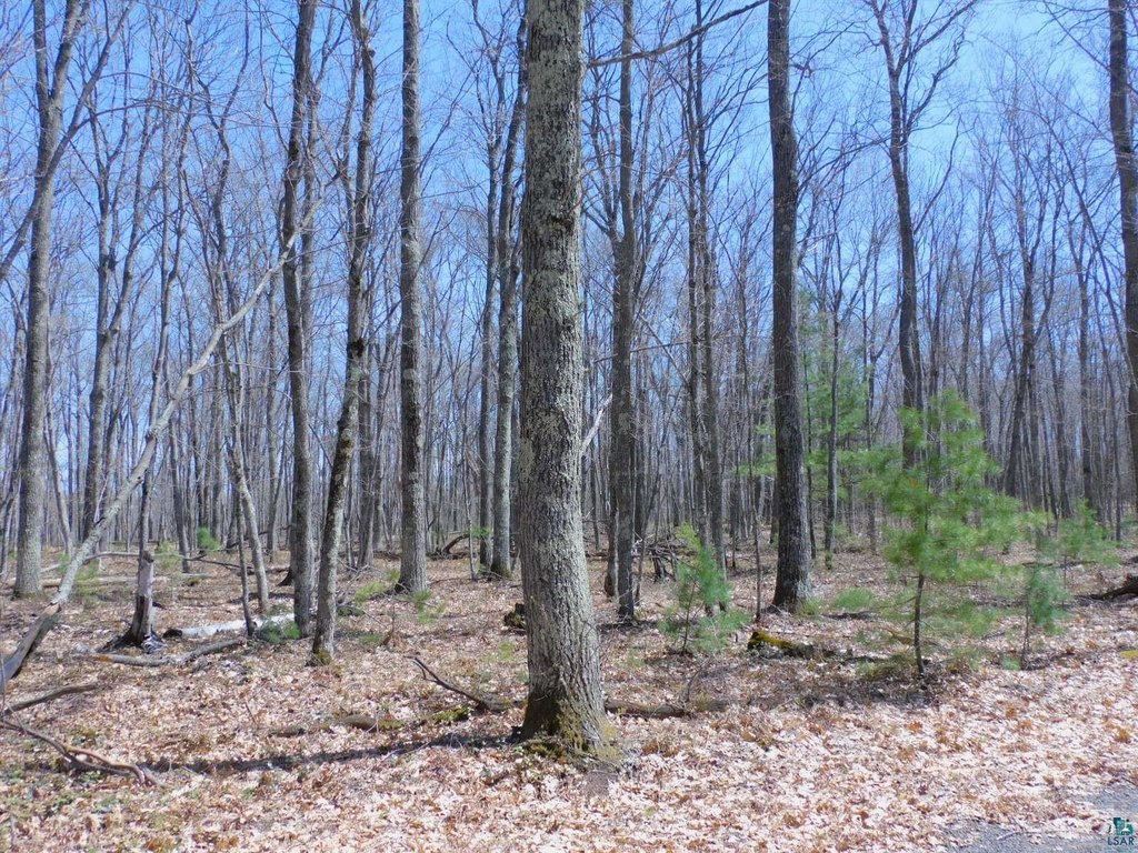
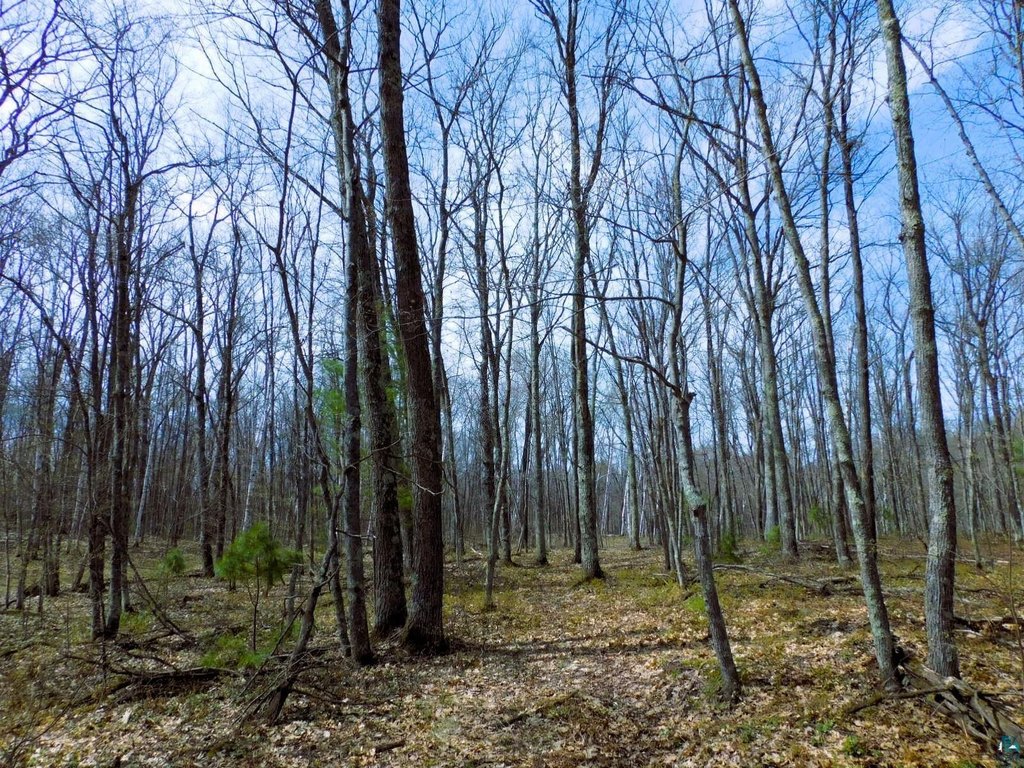
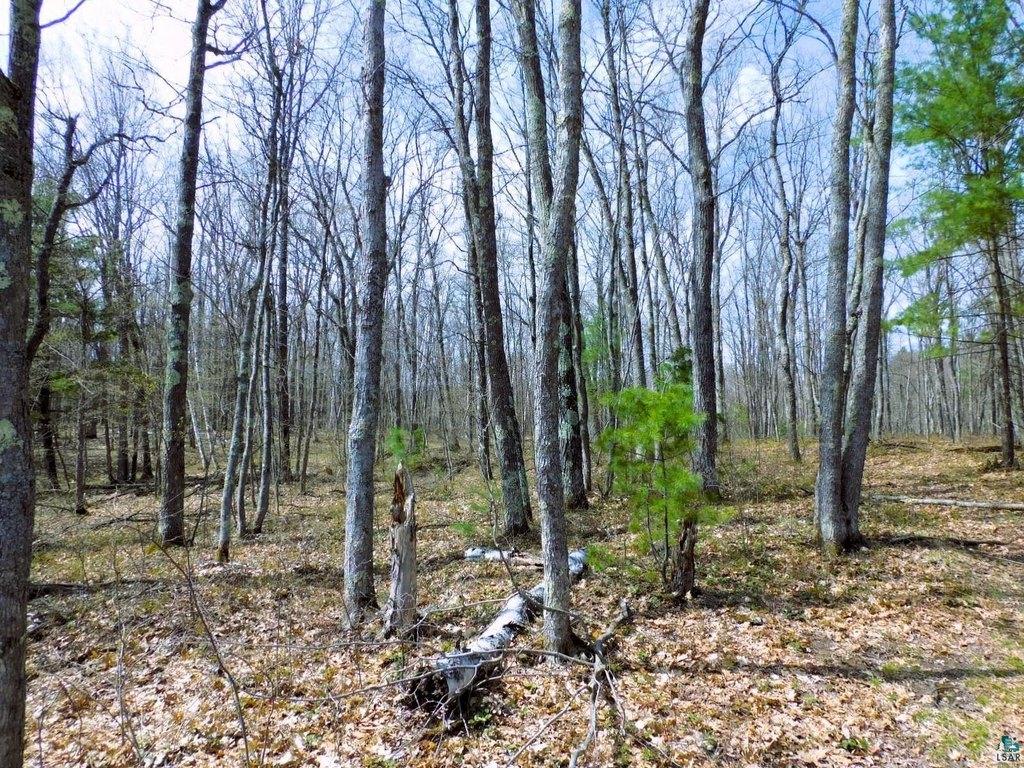
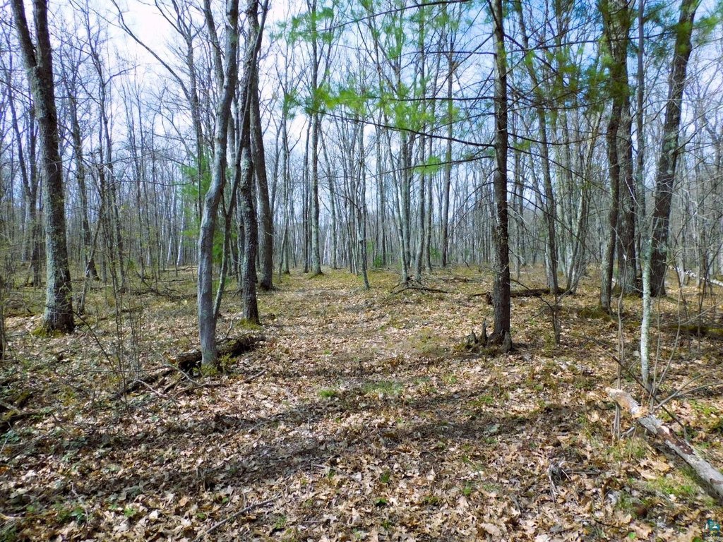
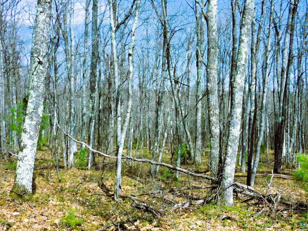
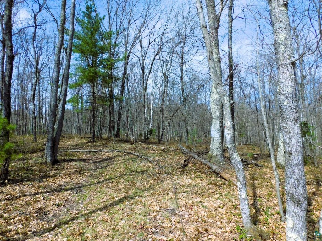
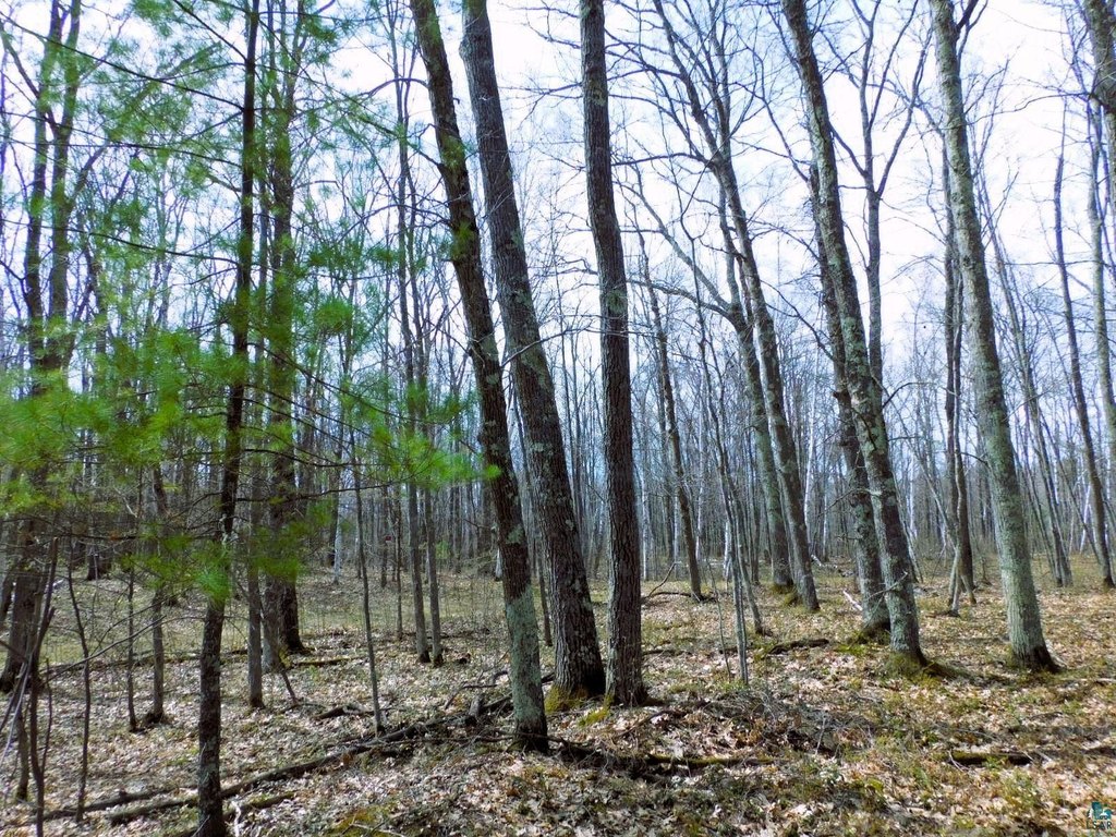
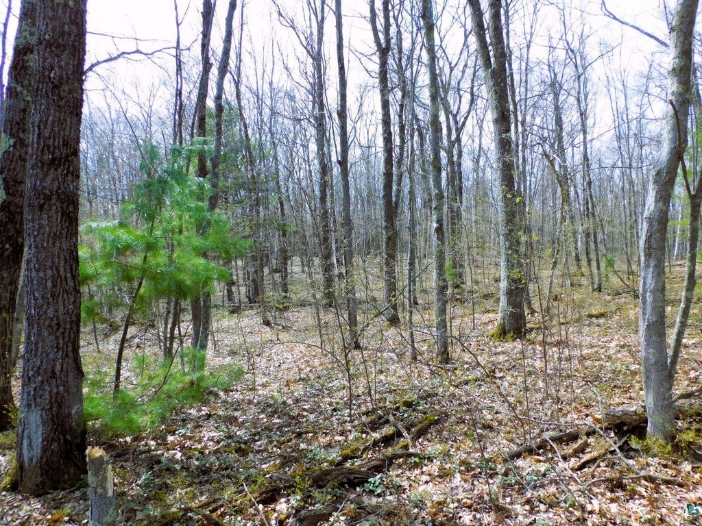
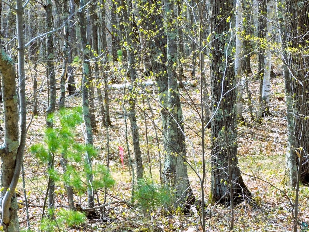
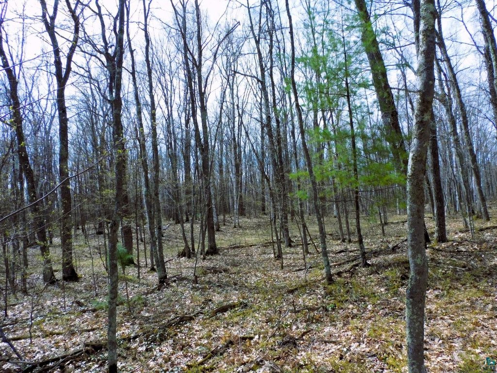
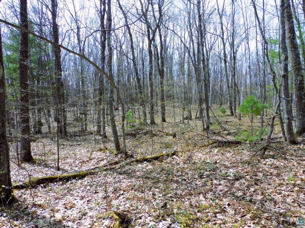
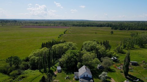
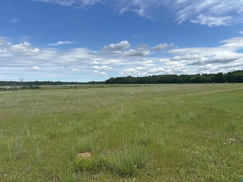
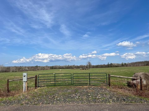
This for-sale land parcel offers a secluded setting with a diverse mix of mature oak, maple, birch, balsam, and pine trees. Much of the acreage includes level ground that may support a home or cabin site, with several acres of higher ground suitable for a building area while keeping the surrounding natural privacy intact. Pink survey flags mark the approximate property lines for easier identification. The sandy soil conditions are described as favorable for a conventional septic system.
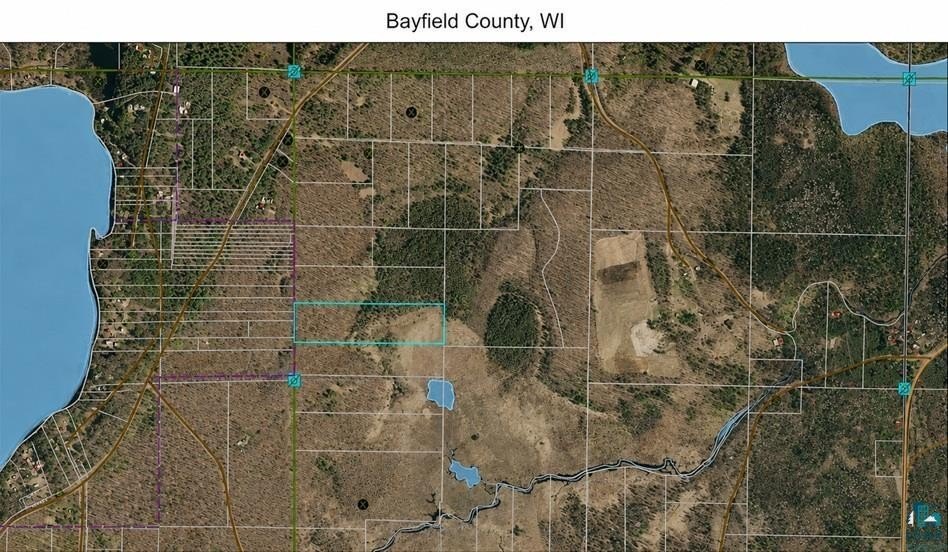
The property is located at the end of Polkoski Way near Iron River in Bayfield County. Bayfield Electric service and Norvado high-speed fiber-optic internet are available at the road. Buyers are encouraged to confirm building setbacks and zoning requirements with Bayfield County.
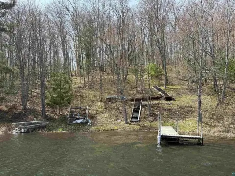
For owners seeking year-round recreation, the listing describes an active wildlife habitat and multiple wildlife species in the area. The seller reports establishing food plots nearby featuring clover, turnips, and rape to help attract wildlife, and notes opportunities for hunting and access to the Class A Iron River within walking distance for Brook and Brown Trout fishing, canoeing, and kayaking. The property is also described as minutes from public land and miles of maintained ATV and snowmobile trails.
The property is located at the end of Polkoski Way near Iron River in Bayfield County. Bayfield Electric service and Norvado high-speed fiber-optic internet are available at the road. Buyers are encouraged to confirm building setbacks and zoning requirements with Bayfield County.
For owners seeking year-round recreation, the listing describes an active wildlife habitat and multiple wildlife species in the area. The seller reports establishing food plots nearby featuring clover, turnips, and rape to help attract wildlife, and notes opportunities for hunting and access to the Class A Iron River within walking distance for Brook and Brown Trout fishing, canoeing, and kayaking. The property is also described as minutes from public land and miles of maintained ATV and snowmobile trails.
Key Highlights
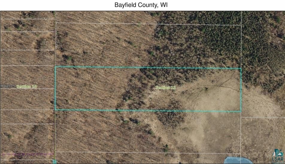
- 9.43‑acre wooded parcel at the end of Polkoski Way near Iron River
- Diverse mature timber including oak, maple, birch, balsam, and pine (white pine and Norway pine)
- Level land with several acres of high ground for a home or cabin site
Property Analytics
Location Intelligence
Current Use


Frequently Asked Questions
What type of property is this?
Hunting land - Secluded 9.43-acre parcel near Iron River with level build areas, mature timber, and utilities at the road.
Where is this hunting land located?
The property is located at Polkoski Way lot 3 9.43 Acres Csm 2307 Iron River, WI.
What is the asking price?
The asking price for this property is $65,000.
What are key features of this property?
This property features: 9.43‑acre wooded parcel at the end of Polkoski Way near Iron River; Diverse mature timber including oak, maple, birch, balsam, and pine (white pine and Norway pine); Level land with several acres of high ground for a home or cabin site


