Waterfront Land with River
Tracts 2A 2B of Old Santa Fe Rd Ranchos de Taos, NM 87557
For Sale
$239,000
LAND - Ranchos de Taos, NM
Lot Size2.41 Acres
Days on Market50
Property Features for Tracts 2A 2B of Old Santa Fe Rd
General Information
- Property type
- Land
- Property subtype
- Other
- Standard status
- Active
- Lot size
- 2.41 Acres
Taxes and HOA fees
- Tax Description
- S36, T25N, R12E; Part of Tract 177, Map 10, Survey 1; Tract 2A (1.18 ac) and Tract 2B (1.22)
- Tax Annual Amount
- 11
Utilities
- Water source
- Well Needed
- Water front features
- River Access
Listing Agency:
Abeyta Realty
(575) 770-4168
Listed By:
Rudy Abeyta · License #17812
(575) 770-4168
Added: Jun 4
Changed: Jun 11
Last Checked: Jul 23 at 6:06PM
MLS# 115126
Copyright © 2026 Enchanted Circle Association of REALTORS®. All rights reserved. All information provided by the listing agent/broker is deemed reliable but is not guaranteed and should be independently verified.
Investment Insights
Based on property information with market context.
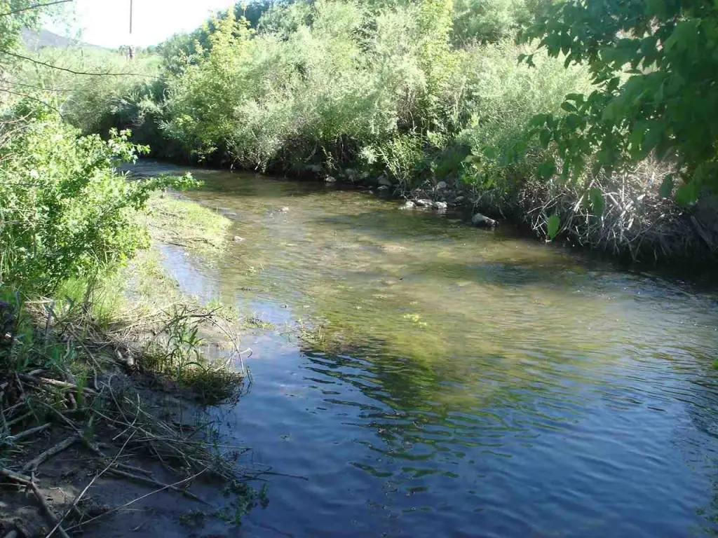
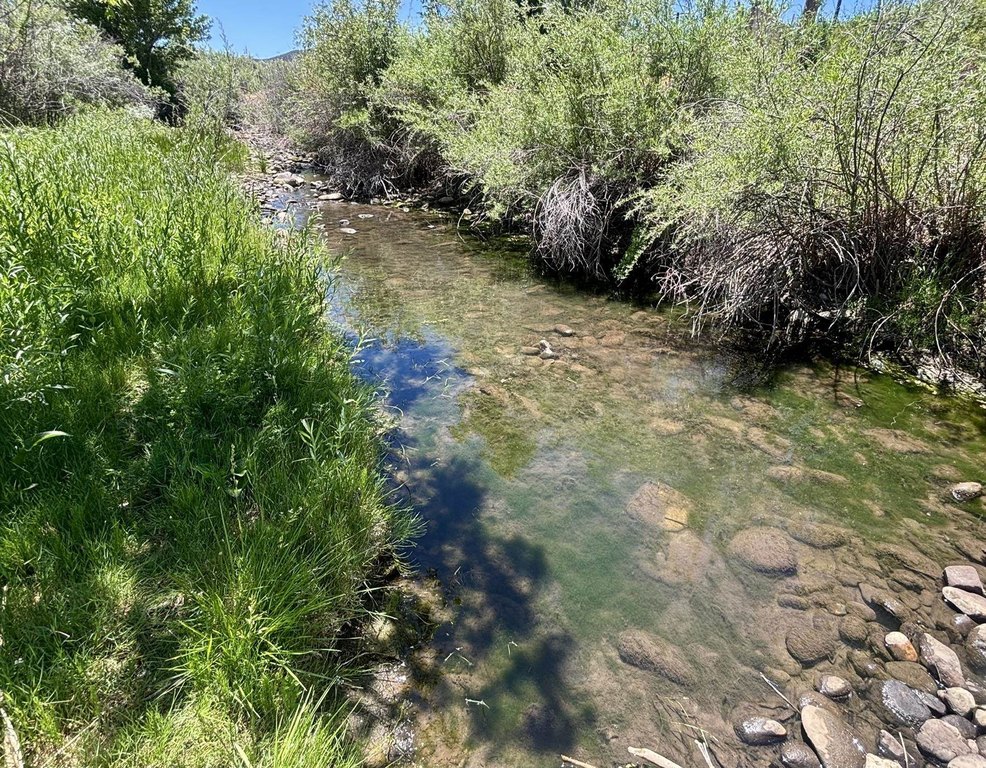
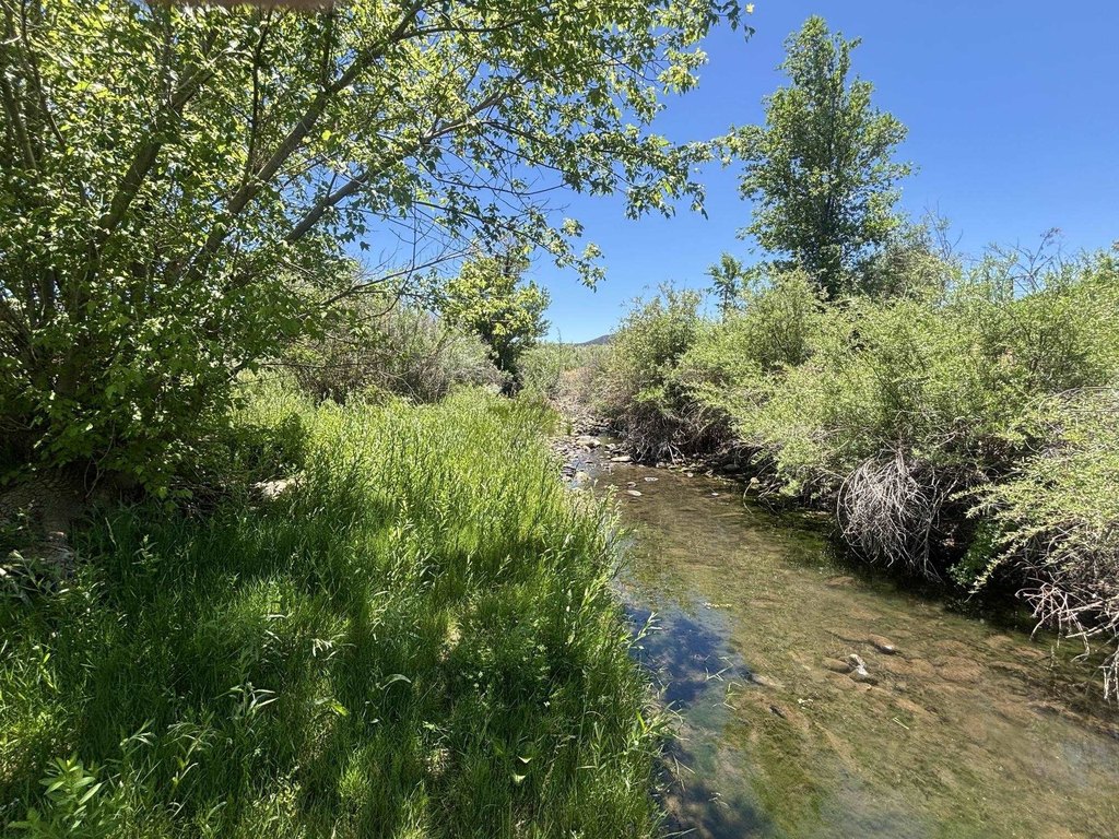
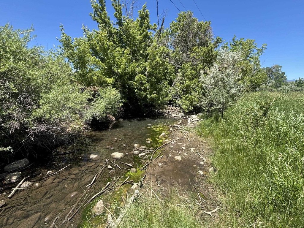
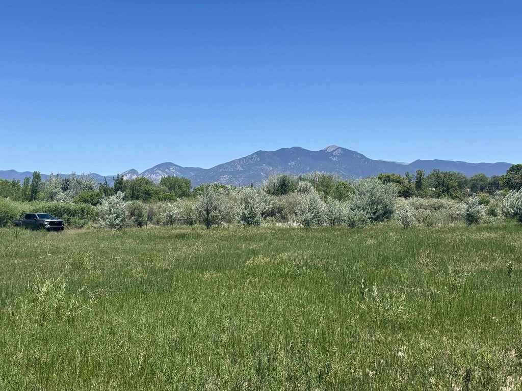
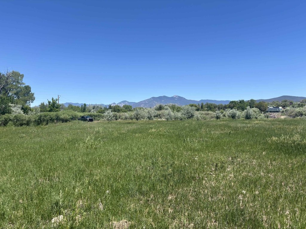
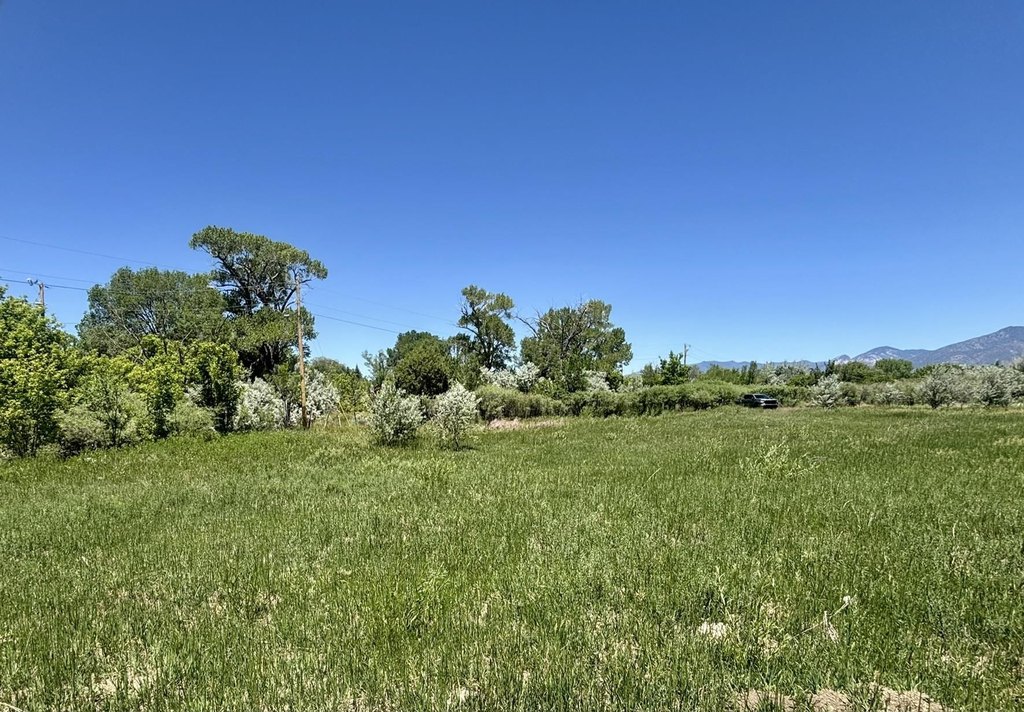
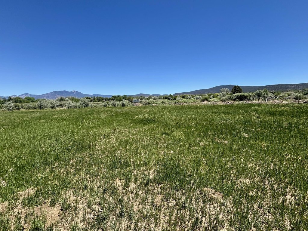
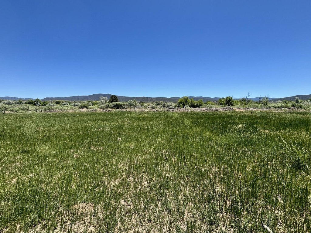
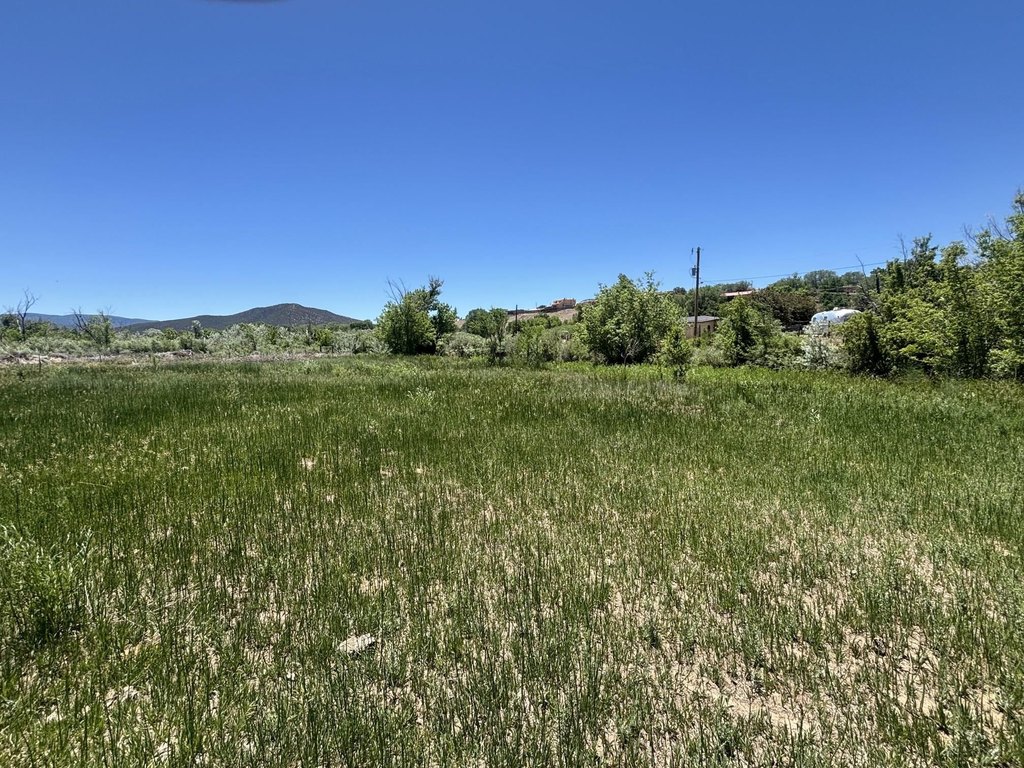
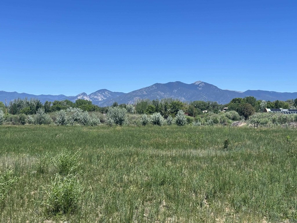
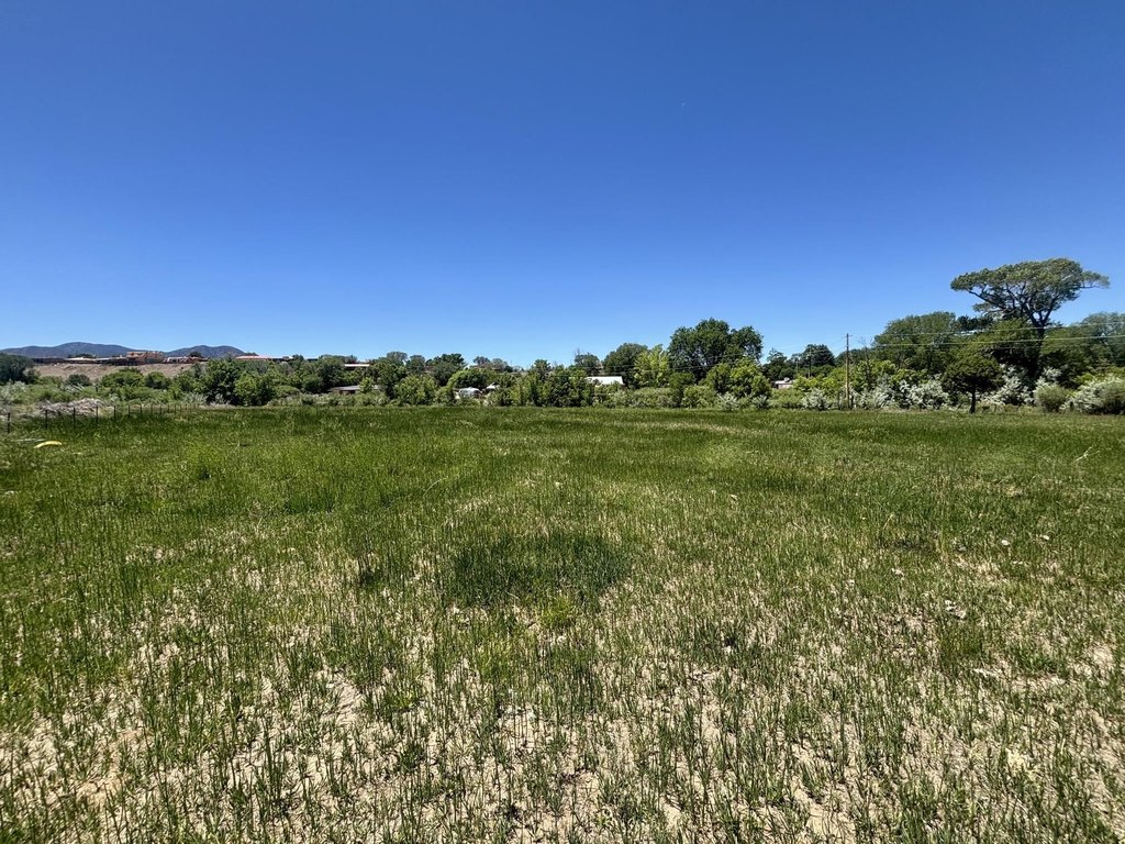
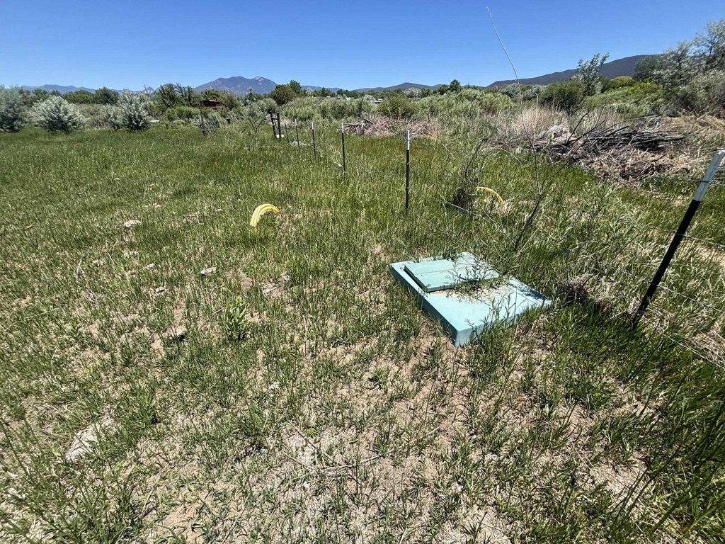
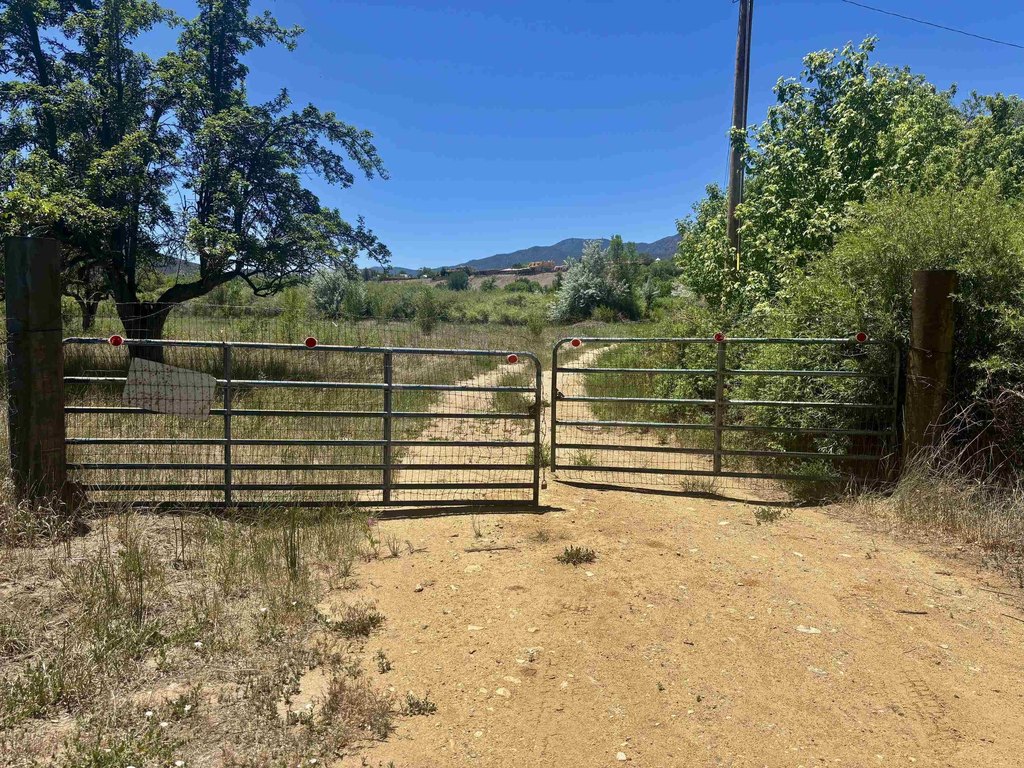
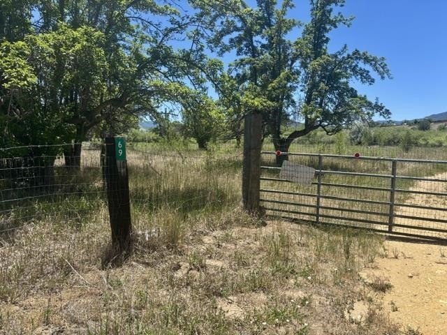
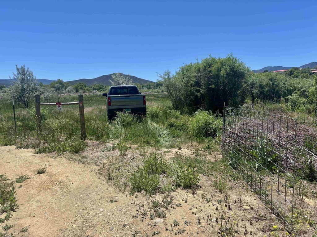
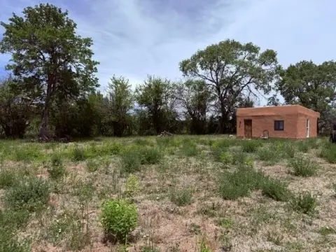
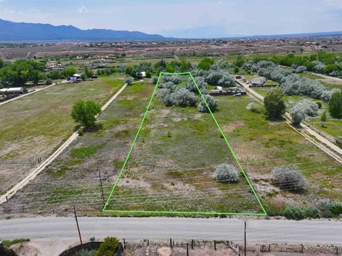
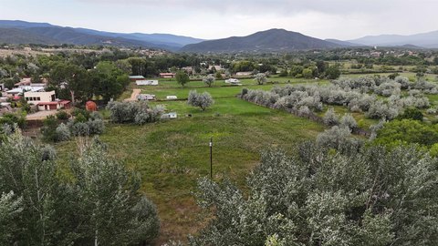
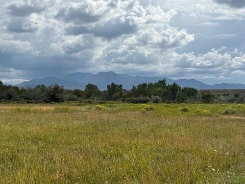
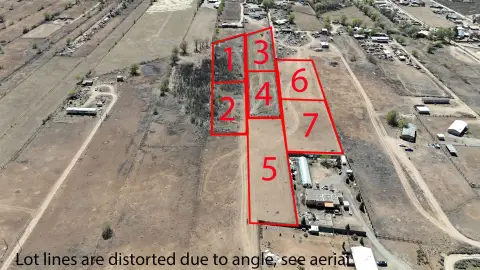
This offering includes two green belt parcels in Ranchos de Taos, identified as Tracts 2A and 2B of Old Santa Fe Rd. The lots are fenced and marketed together, with utilities available including electric and natural gas. The parcels provide river frontage and offer views of Taos Mountain. A survey plat is available for understanding the layout of the two lots.
Both parcels are located in Flood Zone A. The seller has obtained a Letter of Map Amendment from FEMA referencing a 1% Annual Chance Flood Elevation of 6901.6 feet, with elevations above that level not requiring flood insurance. A survey exhibit is available showing that most of the two lots are above this elevation.
For buyers seeking private, secluded land with water access and established utility availability, these parcels offer a practical canvas for development planning while also providing FEMA documentation that clarifies flood insurance requirements for areas above the referenced elevation. The location is also described as close to the Historic Ranchos de Taos Church, galleries, shops, schools, hiking trails, and numerous ski areas.
Key Highlights
- Two green belt parcels in Ranchos de Taos with river access and river frontage
- Electric and natural gas available to the parcels
- Seller provided a FEMA Letter of Map Amendment tied to 1% annual chance flood elevation of 6901.6 feet
Property Analytics
Location Intelligence
Current Use by Public Records
Waterfront Land


FAQs
What type of property is this?
Waterfront Land - Two fenced green belt parcels with electric, natural gas, and river frontage, offering views of Taos Mountain.
Where is this waterfront land located?
The property is located at Tracts 2A 2B of Old Santa Fe Rd Ranchos de Taos, NM.
What is the asking price?
The asking price for this property is $239,000.
What are key features of this property?
This property features: Two green belt parcels in Ranchos de Taos with river access and river frontage; Electric and natural gas available to the parcels; Seller provided a FEMA Letter of Map Amendment tied to 1% annual chance flood elevation of 6901.6 feet


