Agricultural Land with
For Sale
$399,000
281 Rancho Vista Drive, Gallipolis Ferry, WV 25515
Land, Gallipolis Ferry, WV
Property SizeContact for details
Lot Size32.00 Acres
Days on Market123
Property Features for 281 Rancho Vista Drive
General Information
Property type
Land
Property subtype
Other
View
River
Elementary school
Beale
Middle school
Point Pleasant
High school
Point Pleasant
Directions
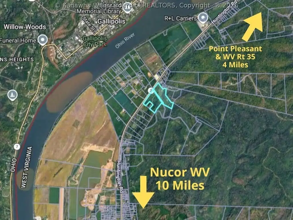
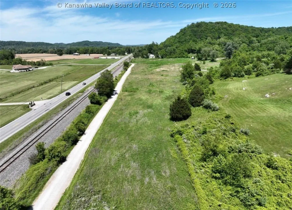
From Point Pleasant travel 3.5 miles on WV 2 South (towards Huntington), turn left to cross the tracks across from Everett Gills Lane, look for signs.
Subdivision
Mason County
Standard status
Active
APN
02-0320-0031-0000-0000
Lot size
32.00 Acres
Taxes and HOA fees
Tax Description
32.114 ACRES O R B & H TRACT 15
Tax Annual Amount
216
Legal Description
32.114 ACRES O R B & H TRACT 15
Utilities
Water front features
Creek, Stream
Listing Agency:
The Angie Zimmerman Realty Group
(304) 675-4939
Listed By:
Jade Schultz · License #0030672
(304) 812-6009
Added: May 18
Changed: Sep 15
Last Checked: Sep 17 at 11:06AM
MLS# 283455
Copyright © 2026 Kanawha Valley Board of Realtors. All rights reserved. All information provided by the listing agent/broker is deemed reliable but is not guaranteed and should be independently verified.
Investment Insights
Based on property information with market context.
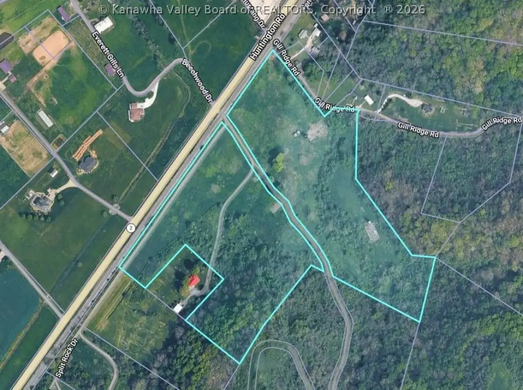
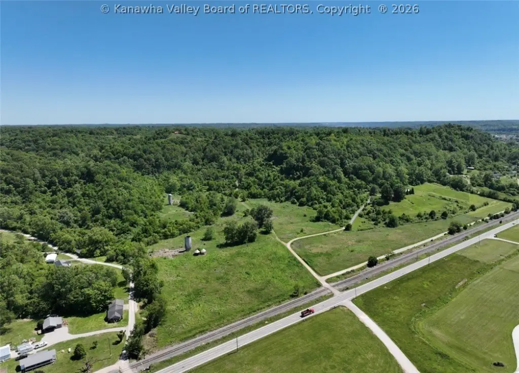
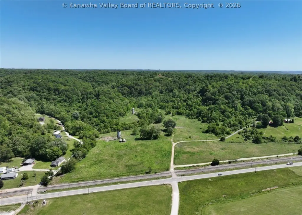
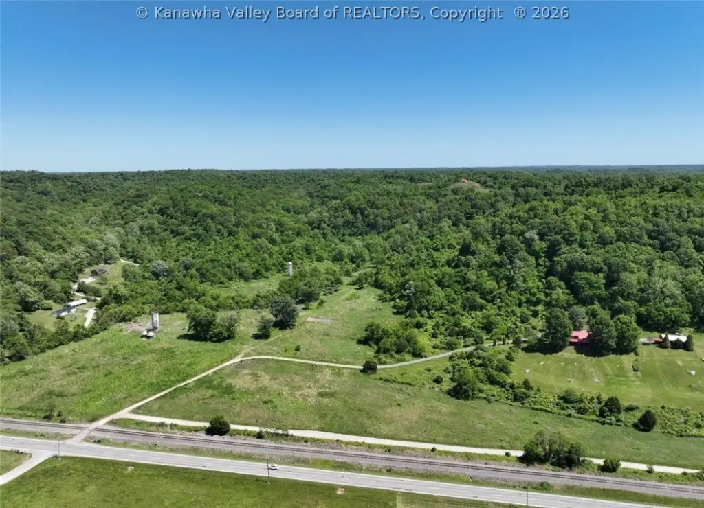
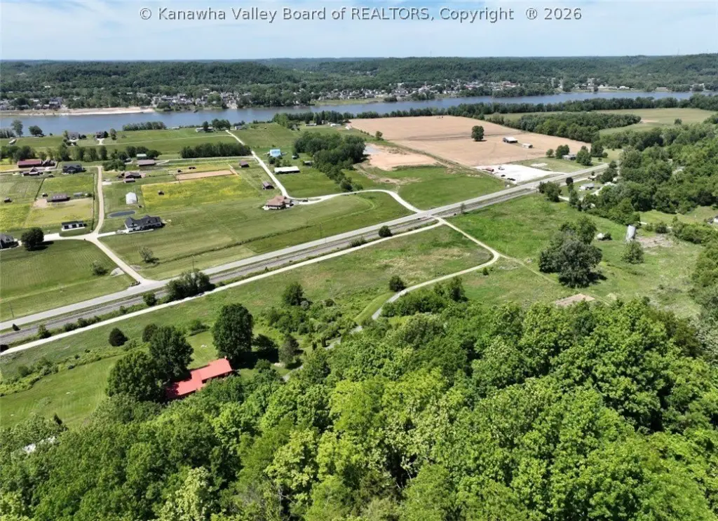
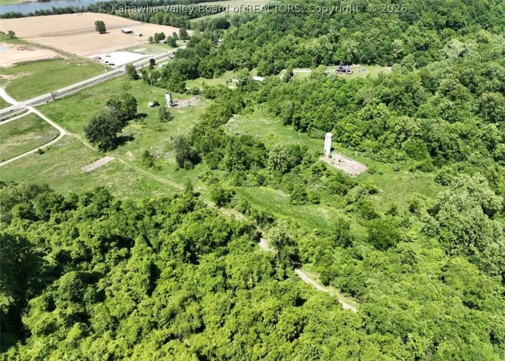
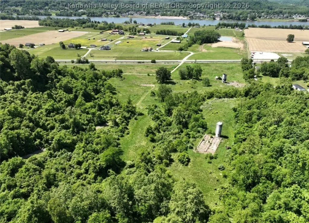
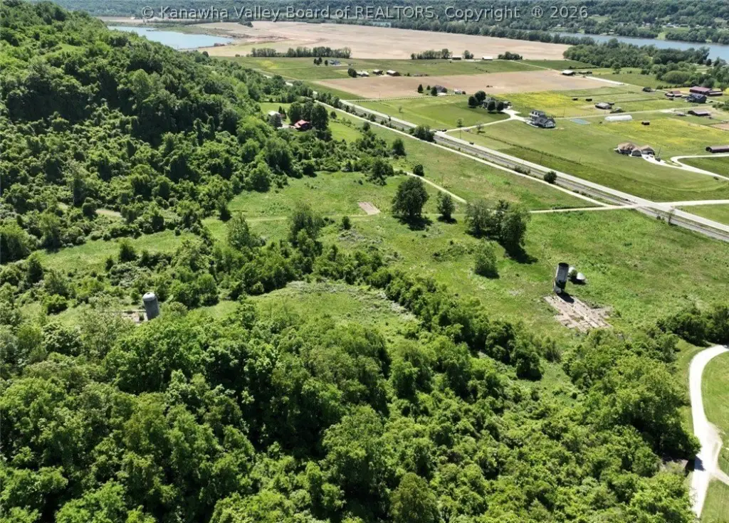
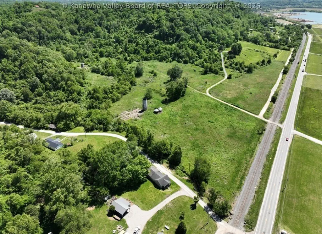
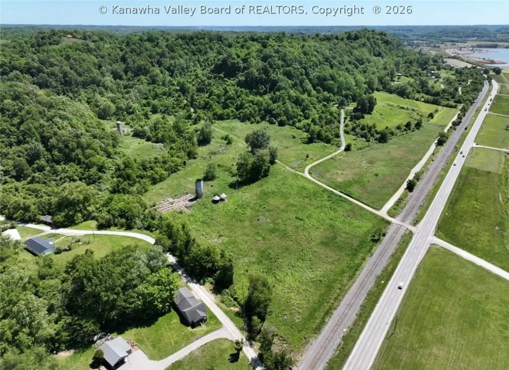
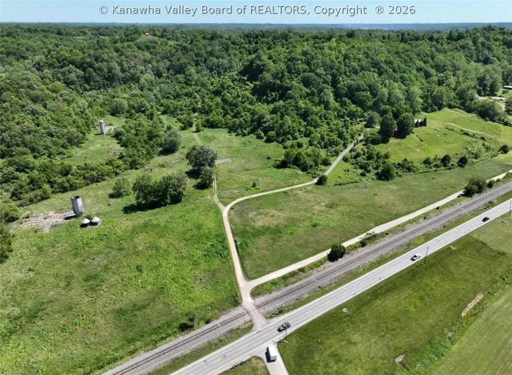
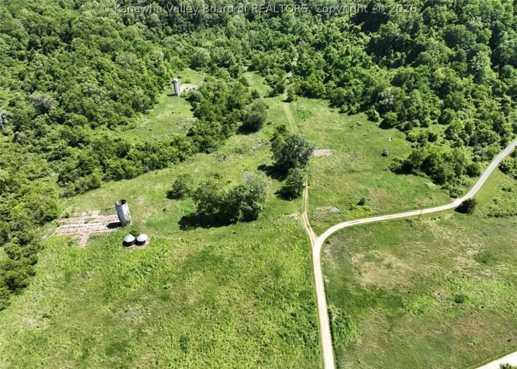
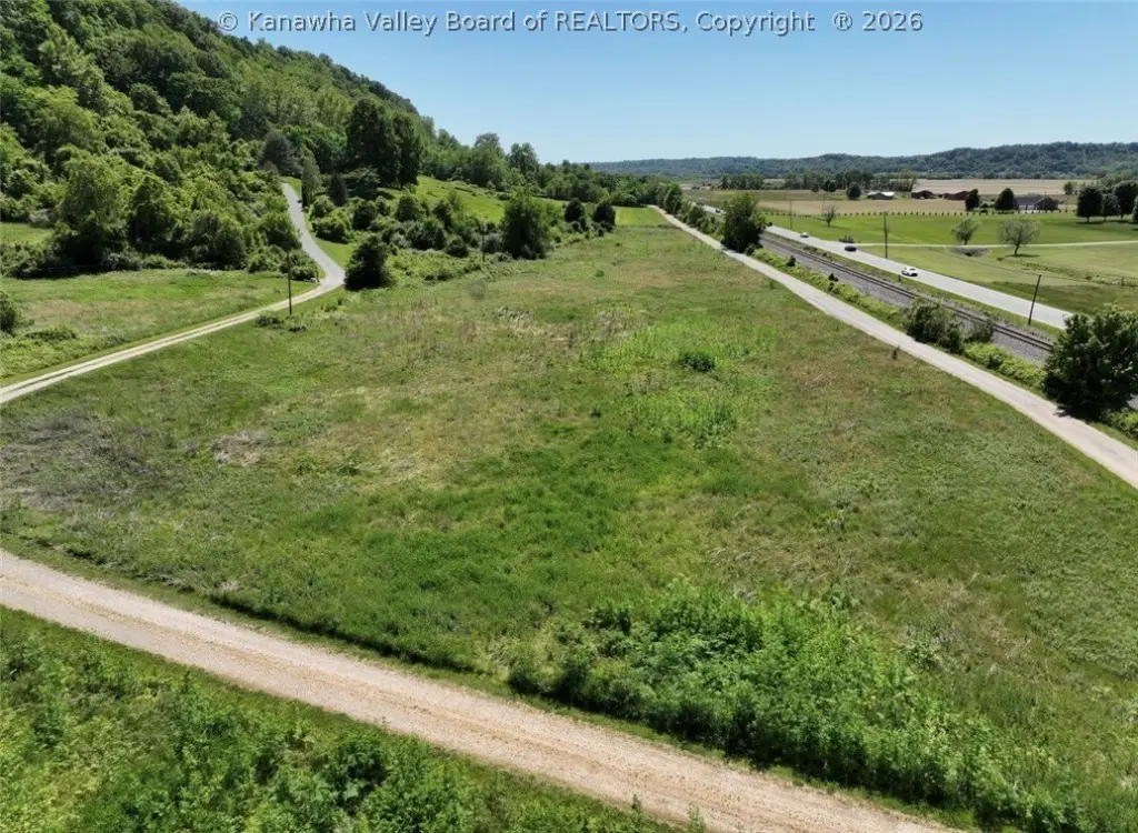
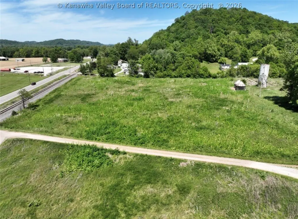
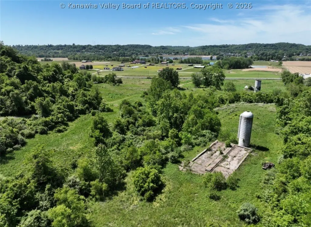
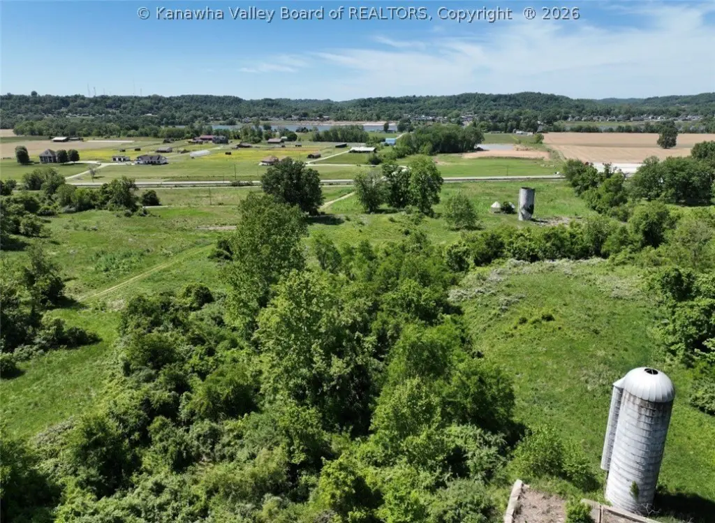
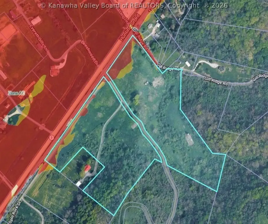
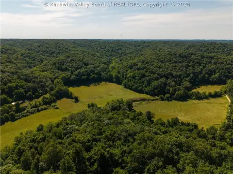
An exceptional 32-acre agricultural/farmland property in Mason County, with most of the acreage cleared and a mix of wooded areas. The land includes a winding creek with stream features, multiple potential homesites, and walkable terrain for assessing locations and access.
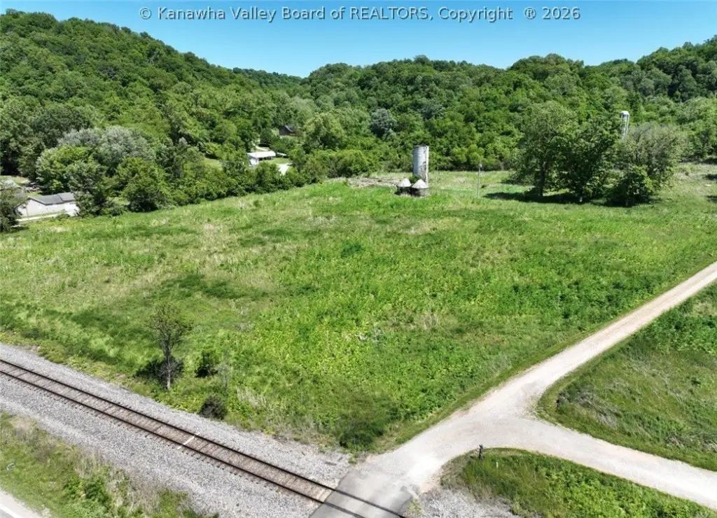
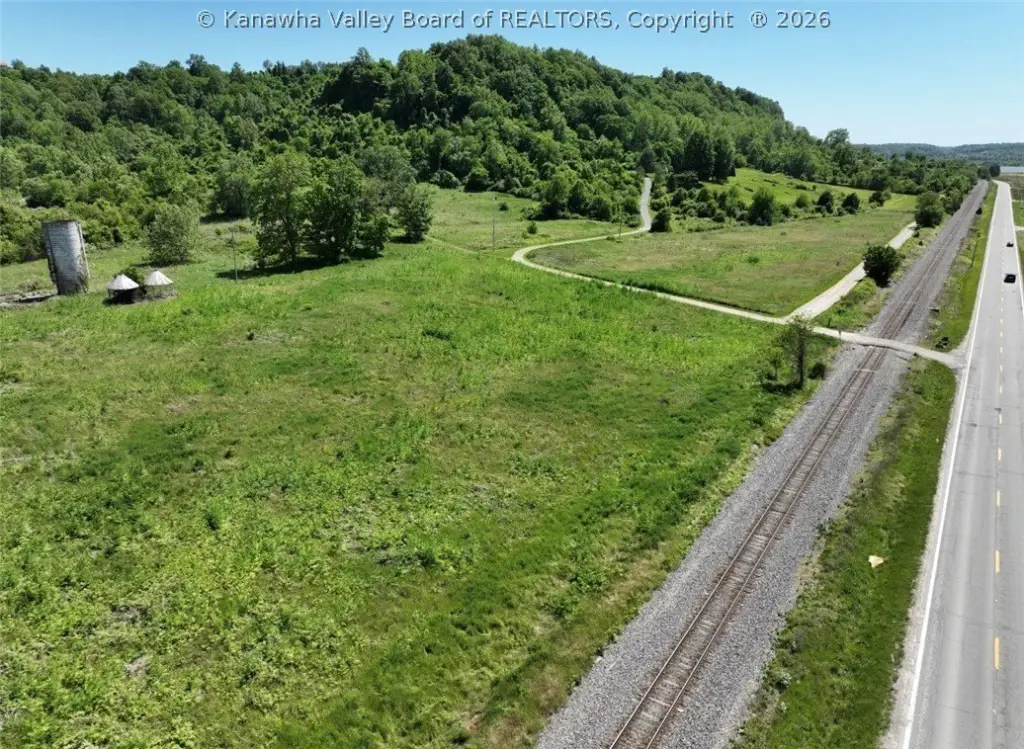
Improvements and supporting infrastructure include 2 silos, 2 corn cribs, and a concrete slab. The property also has approximately 0.27 miles of frontage along WV Route 2, providing visibility and access. Water and electric are already on site.
Whether you’re planning agricultural use, residential development, or a commercial or industrial build, the site offers flexibility with build-to-suit options. It is located about 3.5 miles from the Point Pleasant/Route 35 connection and roughly 10 miles from the Nucor WV Steel Plant and Apple Grove area, with about 35 minutes to Huntington and I-64.
Improvements and supporting infrastructure include 2 silos, 2 corn cribs, and a concrete slab. The property also has approximately 0.27 miles of frontage along WV Route 2, providing visibility and access. Water and electric are already on site.
Whether you’re planning agricultural use, residential development, or a commercial or industrial build, the site offers flexibility with build-to-suit options. It is located about 3.5 miles from the Point Pleasant/Route 35 connection and roughly 10 miles from the Nucor WV Steel Plant and Apple Grove area, with about 35 minutes to Huntington and I-64.
Key Highlights
- 32‑acre mostly cleared farmland with wooded areas and a winding creek with stream features
- Approximately 0.27 miles of frontage along WV Route 2 for visibility and access
- 2 silos and 2 corn cribs on site
Property Analytics
Current Use
Lease Details
Yes
Paved road access
Yes
Utilities to site
Location Intelligence
Trade Area within ½ mile
1
Businesses Nearby
Explore this area
Business Placement
Demographics for 25515, WV
2,062
Population
1,100
Households
1.9
Avg Household Size
47
Median Age
11%
College-Educated
86%
High-School Grad
45.6 sq mi
ZIP Area
45
Density / Sq Mi
$46,237
Median Household Income
$33,750
Median Earnings
$155,600
Median Home Value

Questions? Ask Rey
Realmo’s AI knows this listing — price, zoning, demand, history. Ask anything.

Frequently Asked Questions
What type of property is this?
Agricultural land / Farmland - Mostly cleared farmland with a creek and stream, plus water and electric already on site.
Where is this agricultural land / farmland located?
The property is located at 281 Rancho Vista Drive Gallipolis Ferry, WV.
What is the asking price?
The asking price for this property is $399,000.
What are key features of this property?
This property features: 32‑acre mostly cleared farmland with wooded areas and a winding creek with stream features; Approximately 0.27 miles of frontage along WV Route 2 for visibility and access; 2 silos and 2 corn cribs on site


