Creekfront Waterfront
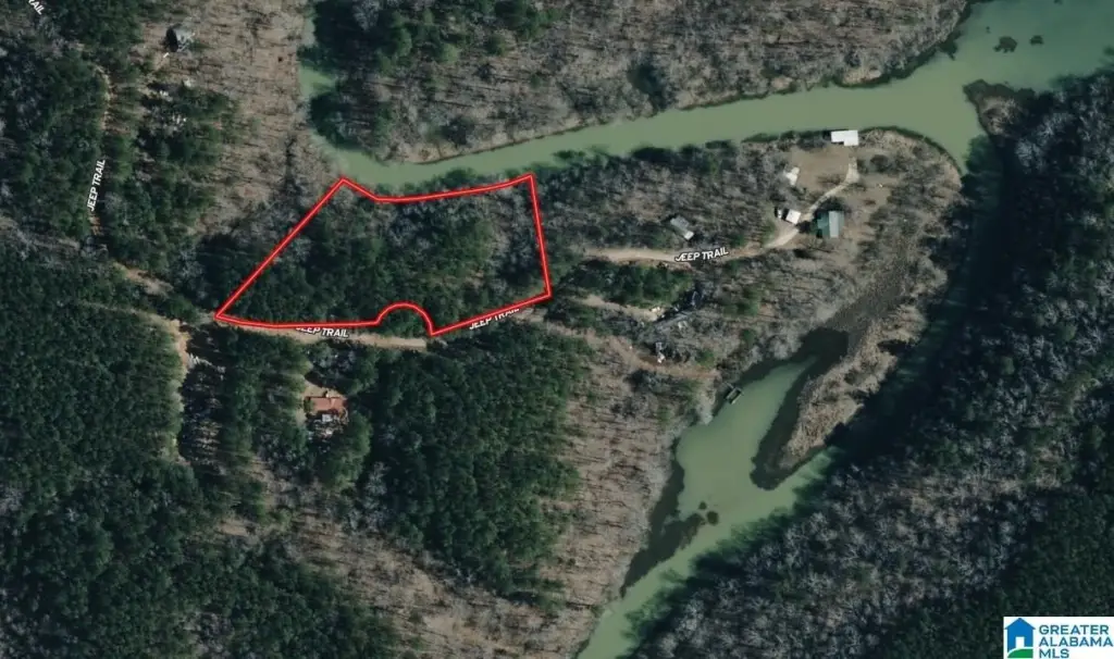
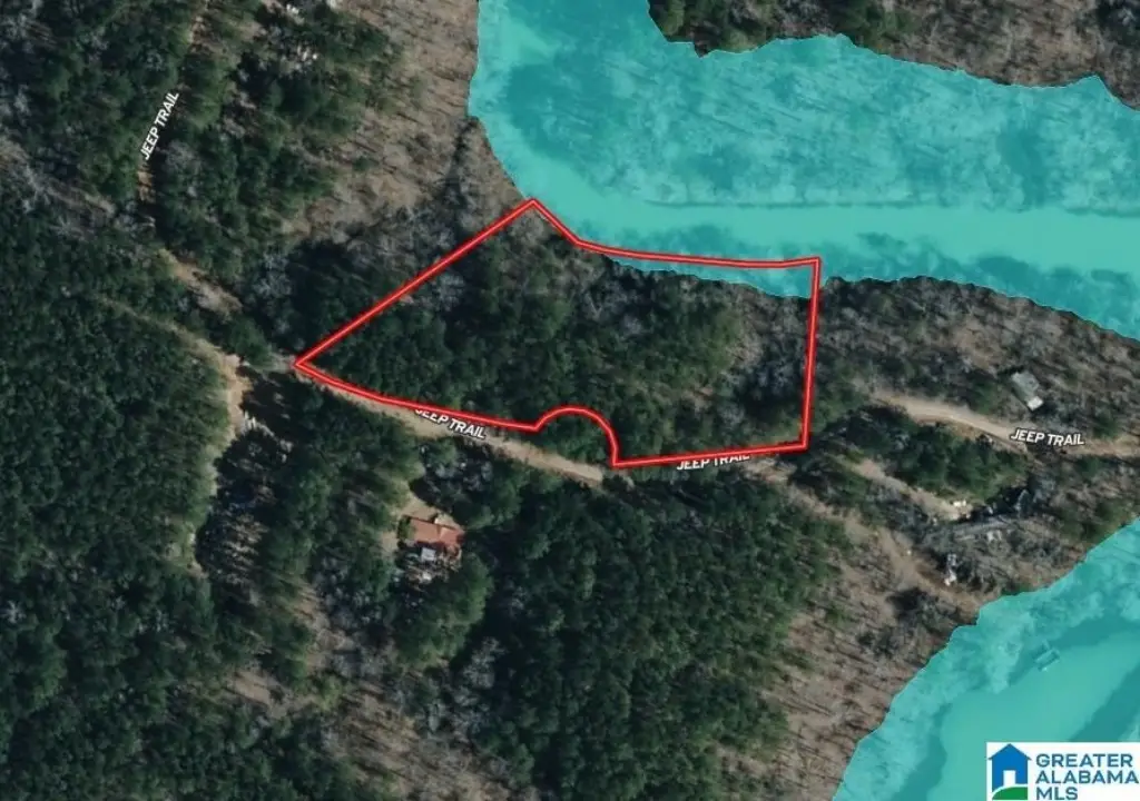
For Sale
$37,500
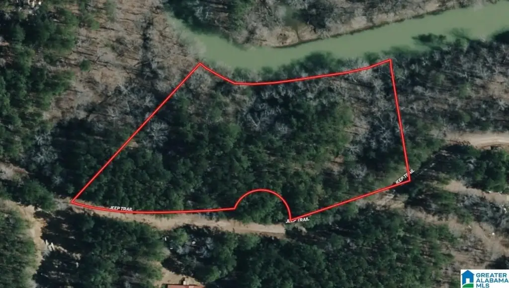
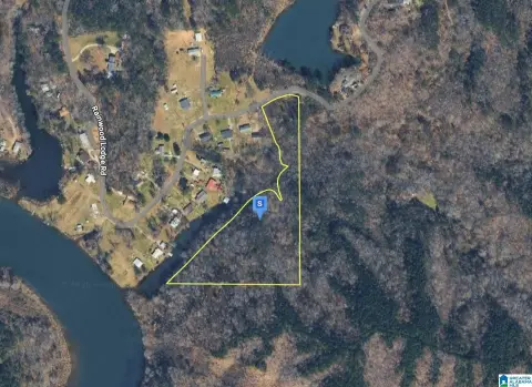
2.47 Acres JEEP TRAIL lot 2.45 Acres, Quinton, AL 35130
LAND/LOTS, QUINTON, AL
Property SizeContact for details
Lot Size2.47 Acres
Days on Market22
Property Features for 2.47 Acres JEEP TRAIL lot 2.45 Acres
General Information
Property type
Land
Property subtype
Other
Zoning
Residential
Lot features
Acreage, Entire Parcel Only
Directions
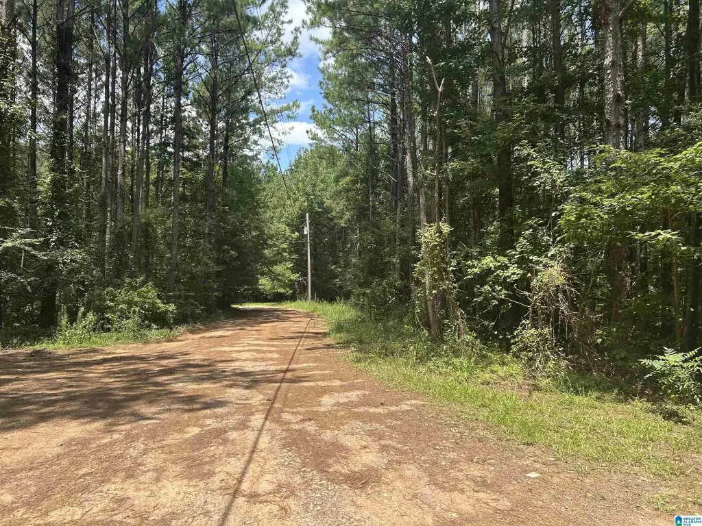
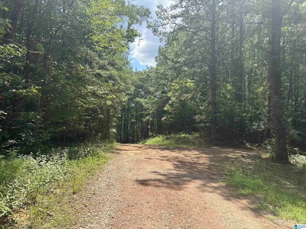
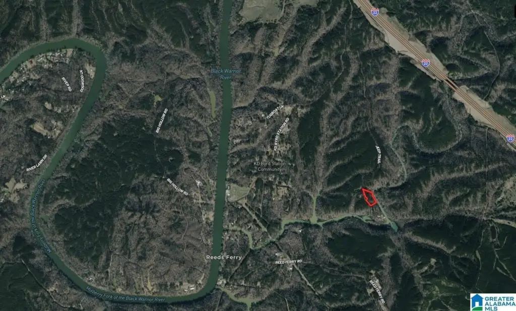
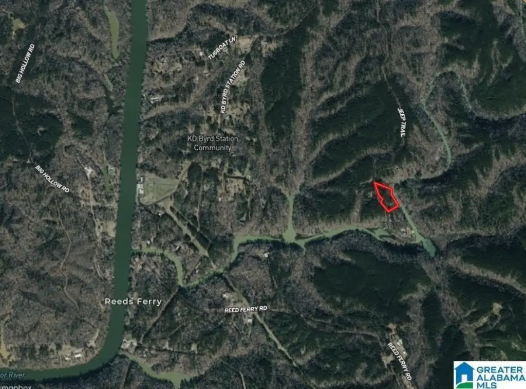
From Birmingham take I22 toward Jasper, Take exit 78 then turn right onto Flat Creek Rd (road changes to Sharon Blvd) left on Burnwell Road, left on River Rd, left on K D Byrd Rd, Left on Jeep Trail. Jeep trail is a dirt road will need a SUV or truck. Property on right
Subdivision
Dora, Quinton, Sumiton, West Jefferson
Standard status
Active
APN
25-03-06-0-000-005.002
Lot size
2.47 Acres
Taxes and HOA fees
Tax Description
P/O SW SW 6-16-5 COM @ SW COR E 1100 NE 120 NE 190 TO BEG NE 109.59 NW 753 W 332.26 SE 285.52 S'LY 96.53 SE 652.49 TO POB
Legal Description
P/O SW SW 6-16-5 COM @ SW COR E 1100 NE 120 NE 190 TO BEG NE 109.59 NW 753 W 332.26 SE 285.52 S'LY 96.53 SE 652.49 TO POB
Utilities
Water front
1
Listing Agency:
Weaver Land & Realty
(205) 428-4139
Listed By:
Dale Weaver · License #000068592
(205) 908-4803
Added: Aug 10
Changed: Aug 19
Last Checked: Aug 31 at 6:06PM
MLS# 21461816
Copyright © 2026 Greater Alabama MLS. All rights reserved. All information provided by the listing agent/broker is deemed reliable but is not guaranteed and should be independently verified.
Investment Insights
Based on property information with market context.
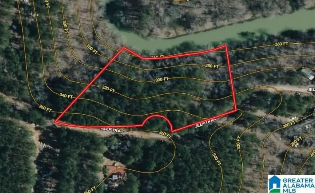
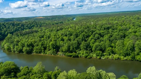
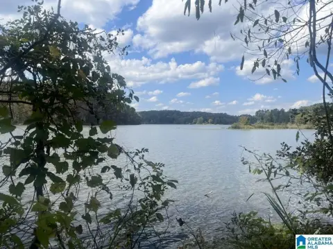
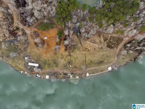
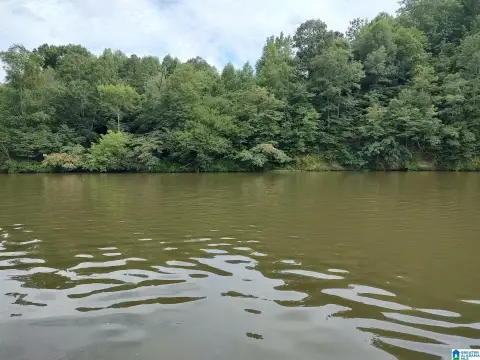
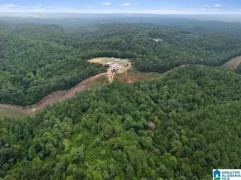
This residential waterfront land parcel is situated along Burnt Cane Creek in Walker County, Alabama. The property includes approximately 338ft of creek frontage, according to the seller, and the creek is described as approximately 8-12ft deep and 80-200ft wide. Burnt Cane Creek feeds into the Mulberry Fork, adding a direct connection to the surrounding water system.
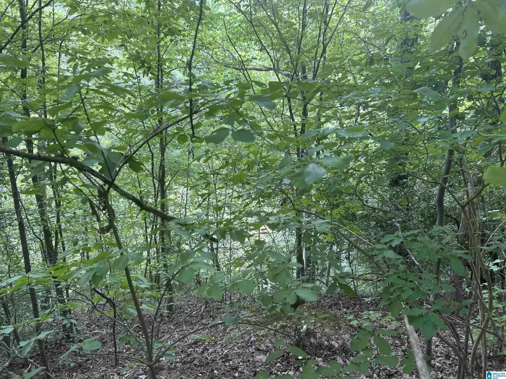
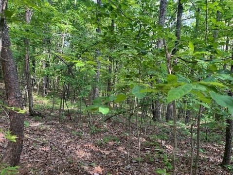
The creekside portion is steep, and stairs may be needed to create access. The property does not have a designated street address; 1179 Jeep Trail is provided as a nearby guide point. The parcel is located in Quinton, AL 35130, and carries Residential zoning.
The creekside portion is steep, and stairs may be needed to create access. The property does not have a designated street address; 1179 Jeep Trail is provided as a nearby guide point. The parcel is located in Quinton, AL 35130, and carries Residential zoning.
Key Highlights
- Approximately 338ft of Burnt Cane Creek waterfrontage, per seller
- Burnt Cane Creek feeds into the Mulberry Fork
- Creek is described as approximately 8‑12ft deep and 80‑200ft wide
Property Analytics
Property Profile
Current Use
Location Intelligence
Trade Area within ½ mile
2
Businesses Nearby
Explore this area
Business Placement
Demographics for 35130, AL
3,194
Population
1,760
Households
1.8
Avg Household Size
47
Median Age
11%
College-Educated
78%
High-School Grad
67.1 sq mi
ZIP Area
48
Density / Sq Mi
$37,692
Median Household Income
$37,219
Median Earnings
$564
Median Rent
$103,300
Median Home Value

Questions? Ask Rey
Realmo’s AI knows this listing — price, zoning, demand, history. Ask anything.




Frequently Asked Questions
What type of property is this?
Waterfront Land - Residential waterfront acreage along Burnt Cane Creek in Walker County, with access considerations shaped by steep creekside terrain.
Where is this waterfront land located?
The property is located at 2.47 Acres JEEP TRAIL lot 2.45 Acres Quinton, AL.
What is the asking price?
The asking price for this property is $37,500.
What are key features of this property?
This property features: Approximately 338ft of Burnt Cane Creek waterfrontage, per seller; Burnt Cane Creek feeds into the Mulberry Fork; Creek is described as approximately 8‑12ft deep and 80‑200ft wide



