Mountain Recreation Land






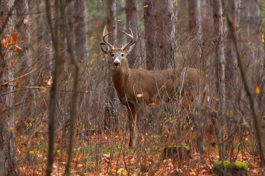

For Sale
$215,000
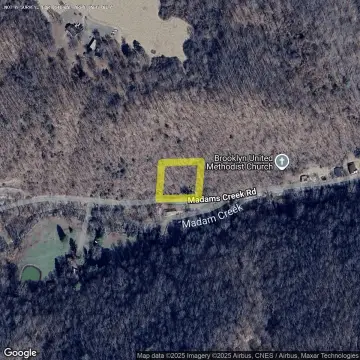
18201 Wv-12, Hinton, WV 25951
Land, Hinton, WV
Property SizeContact for details
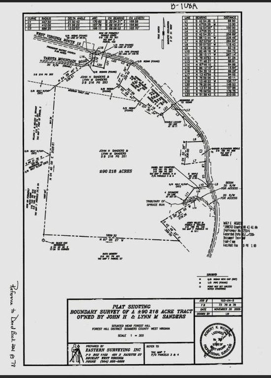
Lot Size90.22 Acres
Days on Market65
Property Features for 18201 Wv-12
General Information
Property type
Land
Property subtype
Other
Directions
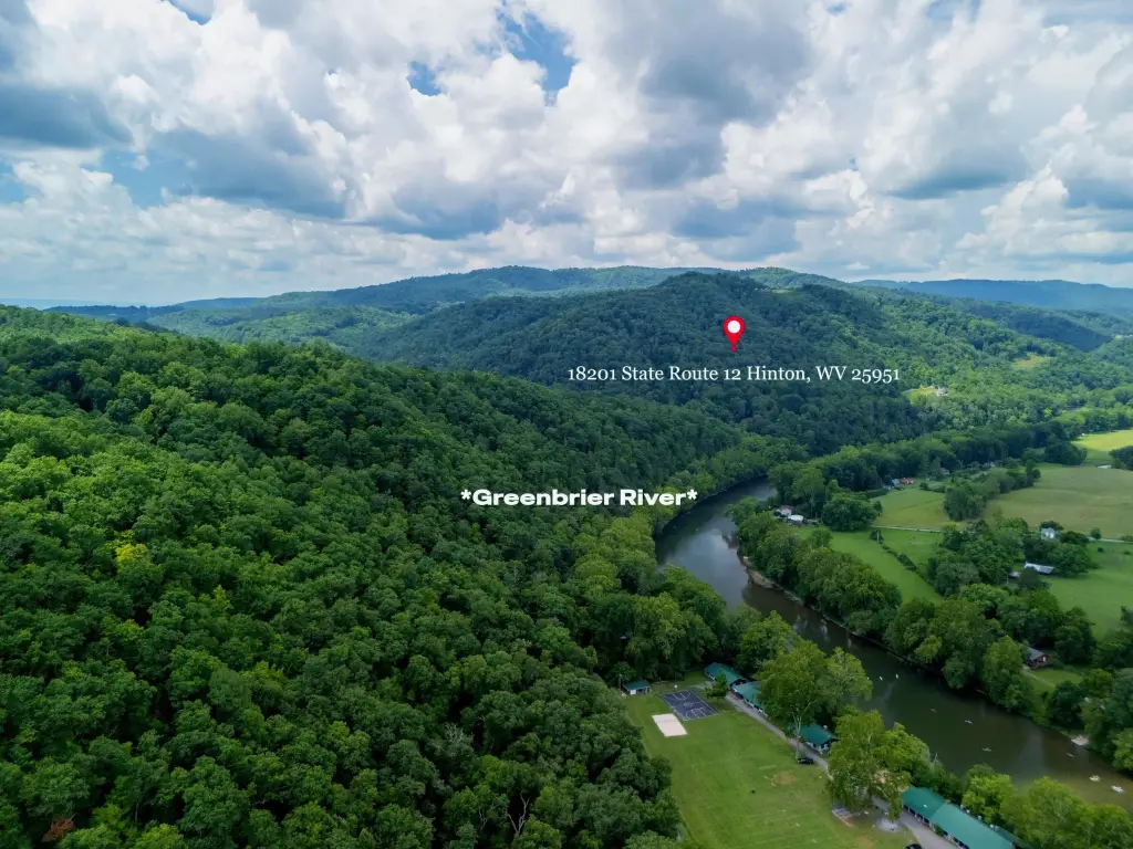
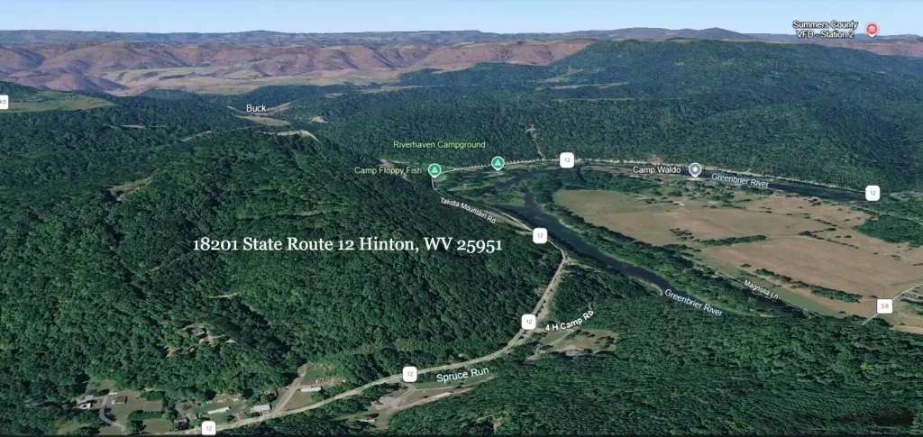
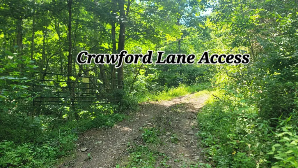
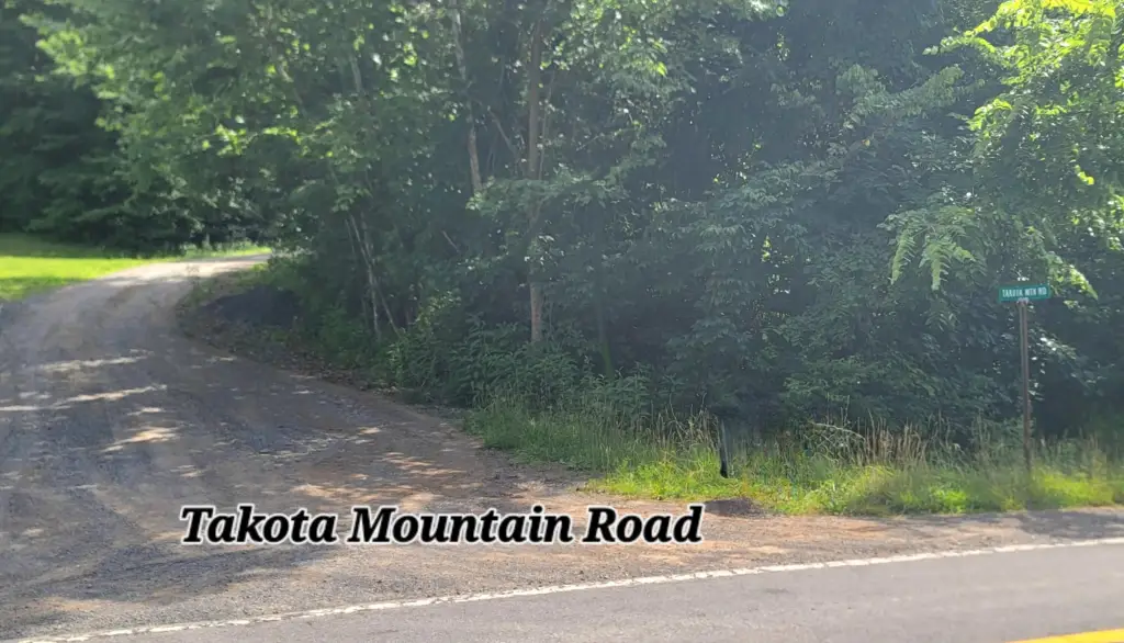
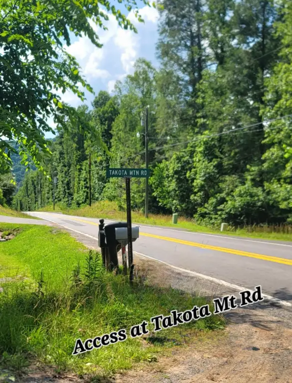
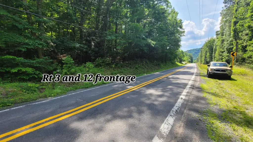
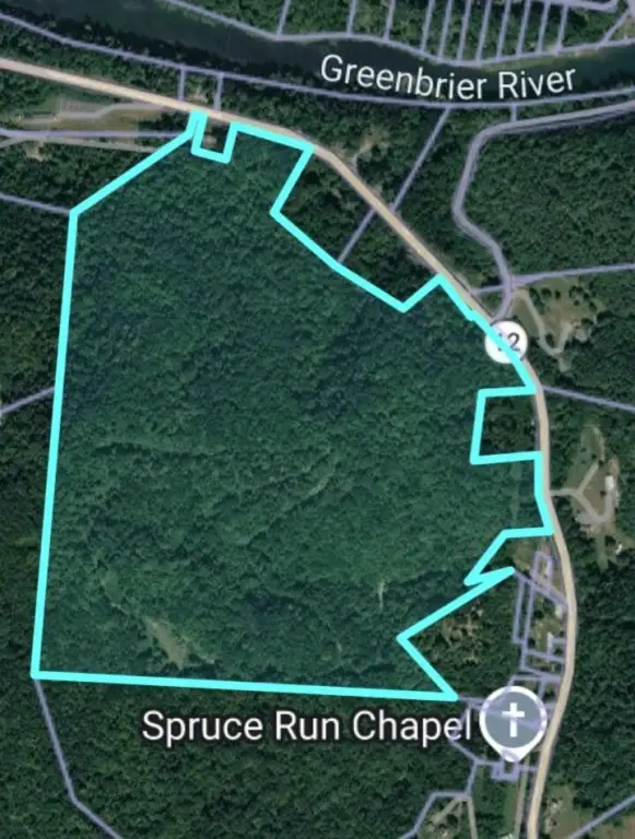
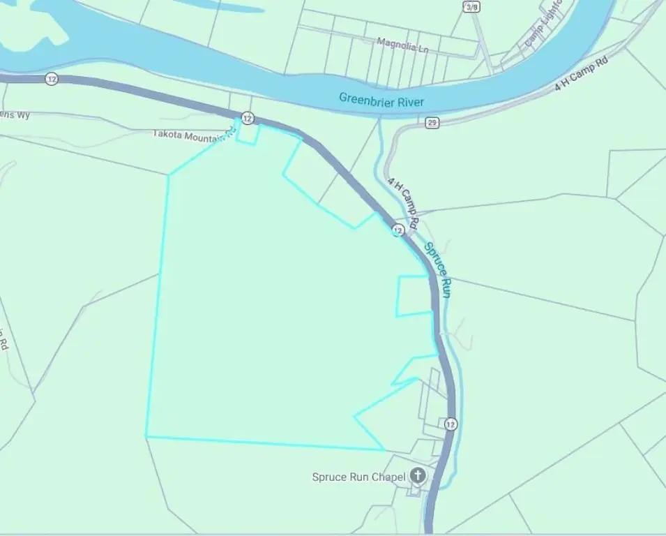
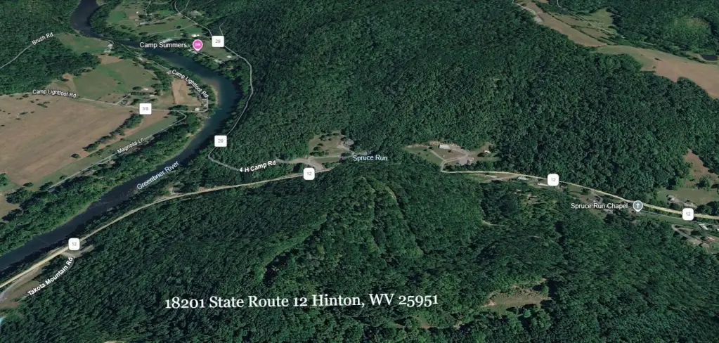
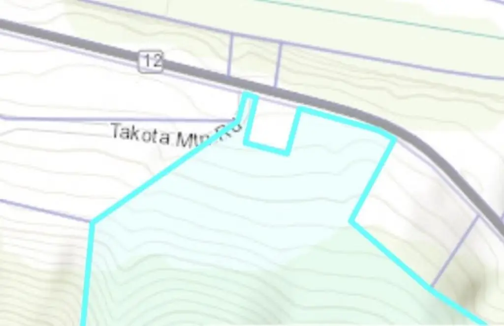
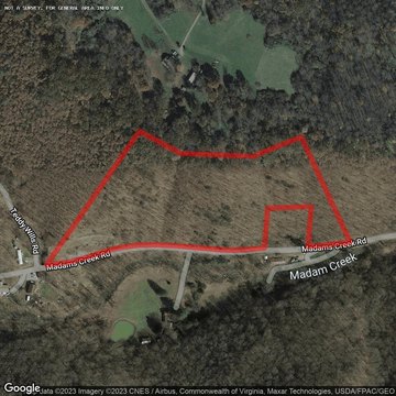
From Alderson Take Rt 12 to Talcott through Hilldale and Cross the Greenbrier River. Turn left on 3/12 and drive toward Forest Hill. Property Starts at Takota Mountain Rd area. Access at Takota Mt Road and Crawford Lane Access to the top of the mountain.
Subdivision
Forest Hill
Standard status
Active
APN
4
Lot size
90.22 Acres
Utilities
Water source
Well
Listing Agency:
Coldwell Banker Stuart and Watts Real Estate · Coldwell Banker Real Estate
Listed By:
Joyce L Surbaugh
(304) 645-1242
Added: Jul 12
Changed: Aug 31
Last Checked: Sep 14 at 4:06PM
MLS# 26-963
Copyright © 2026 Greenbrier Valley Board of Realtors. All rights reserved. All information provided by the listing agent/broker is deemed reliable but is not guaranteed and should be independently verified.
Investment Insights
Based on property information with market context.
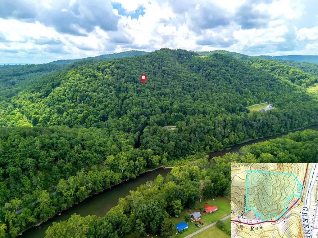
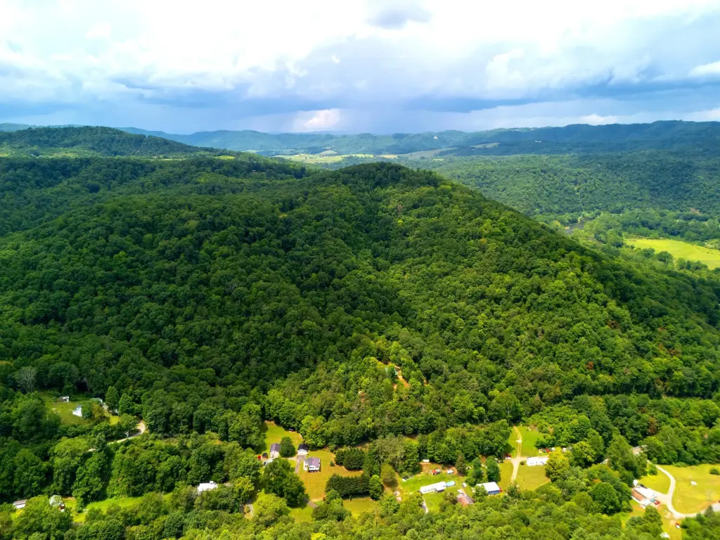
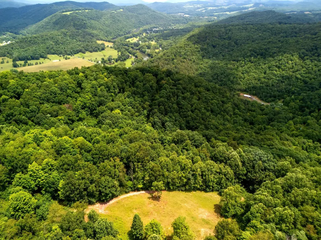
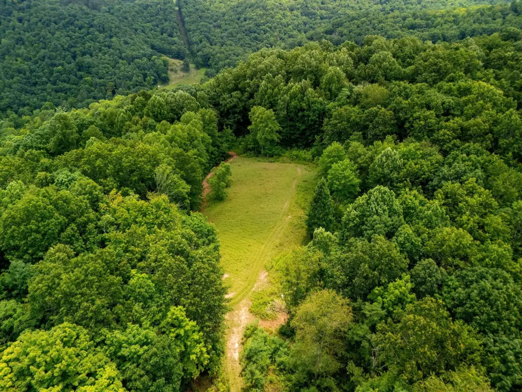
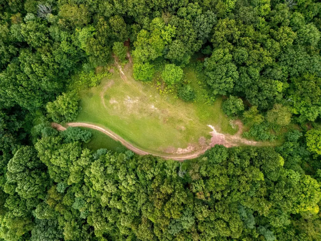
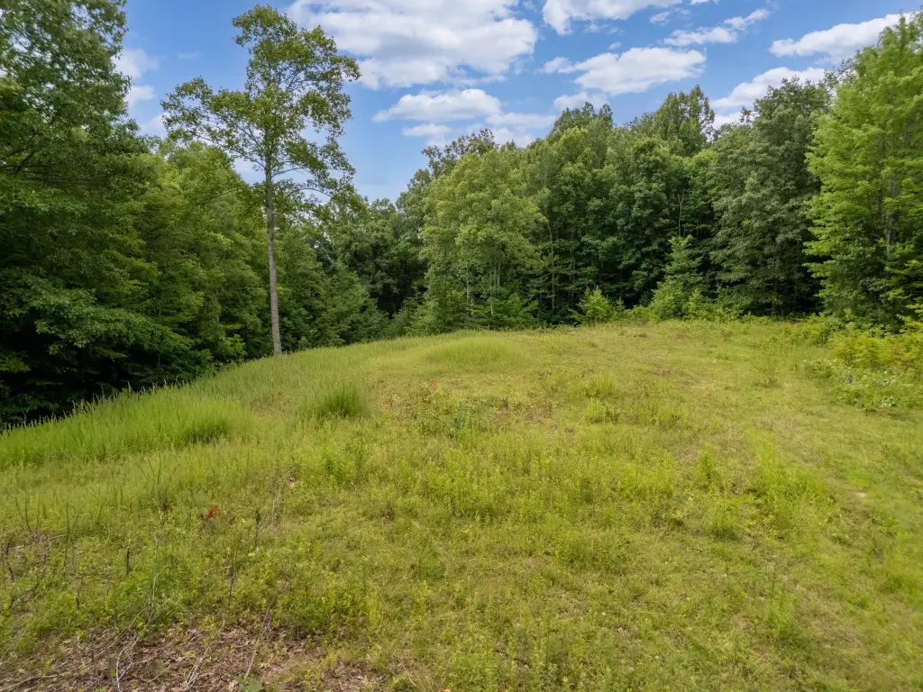
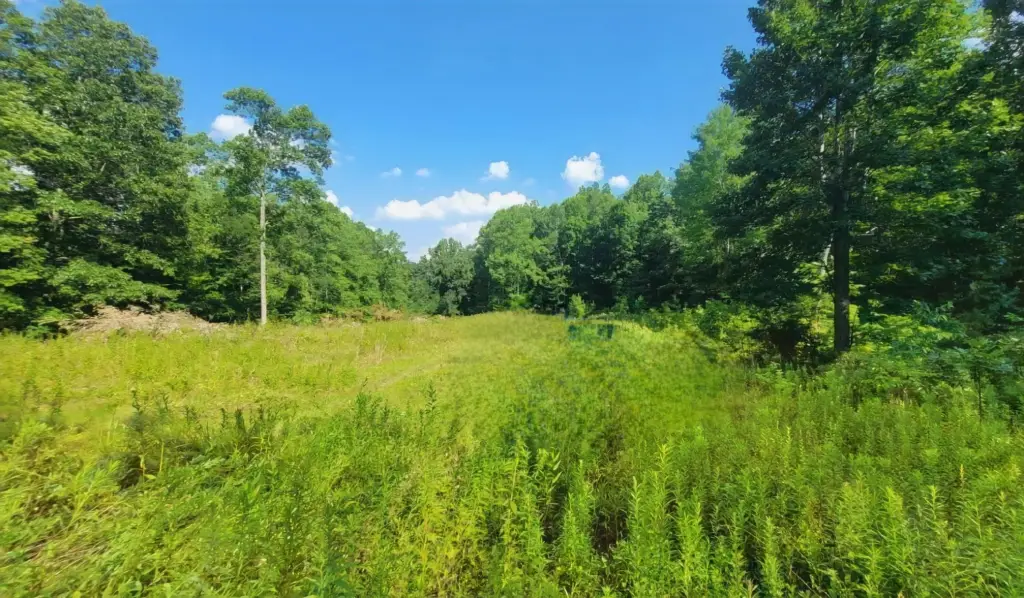
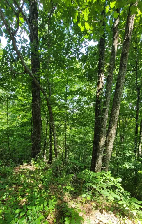
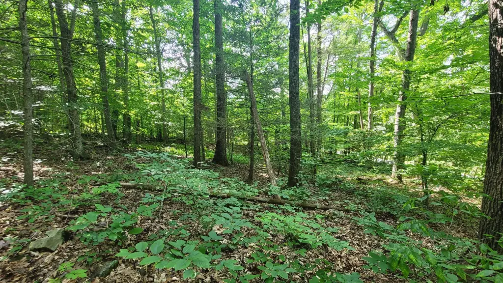
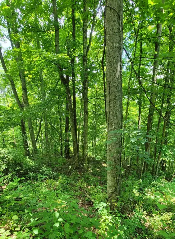
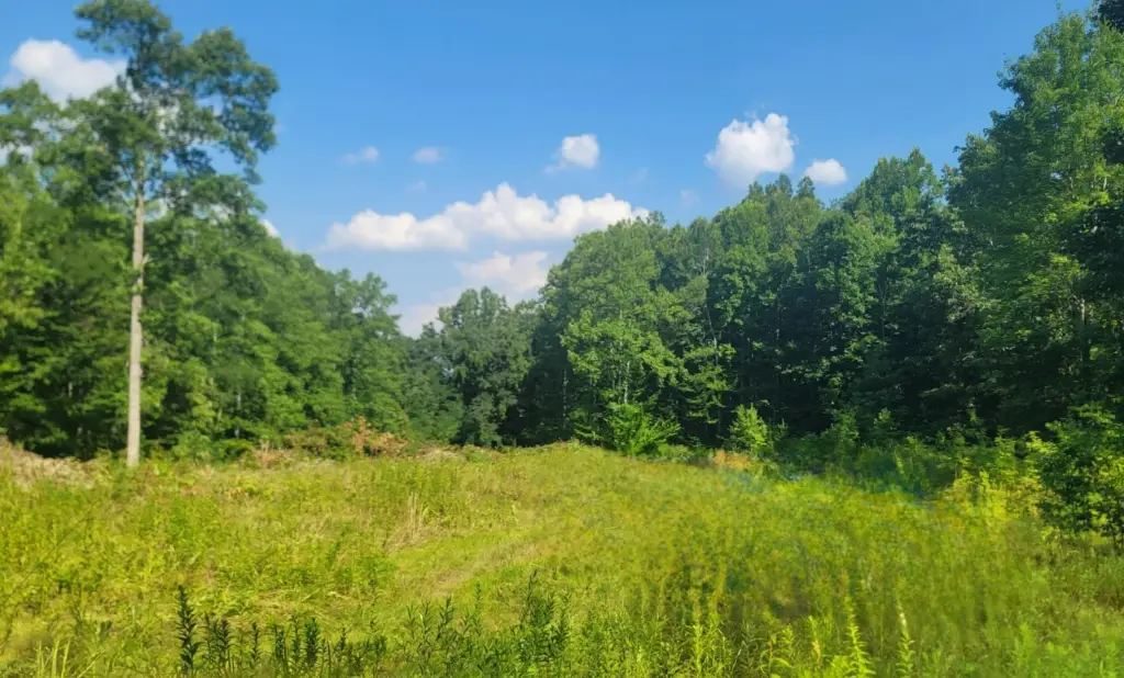
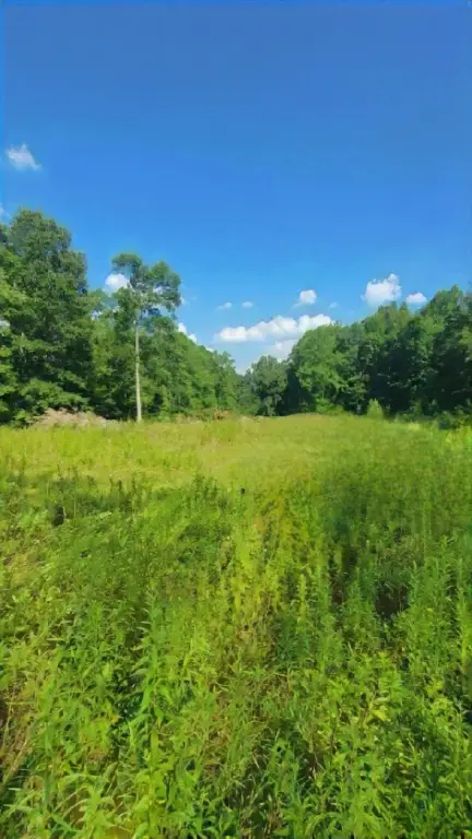
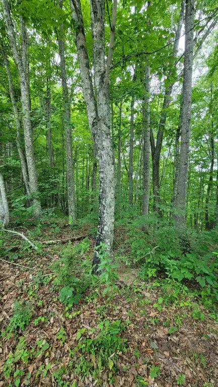
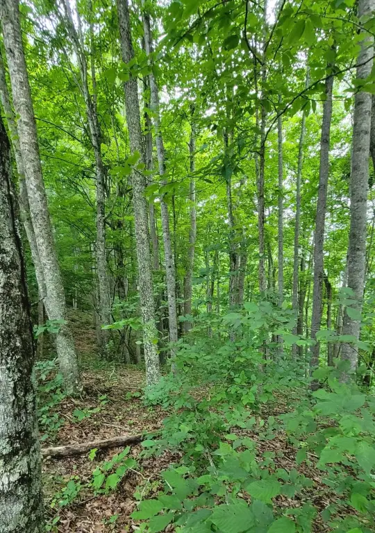
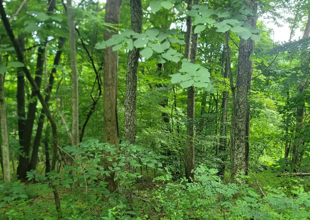
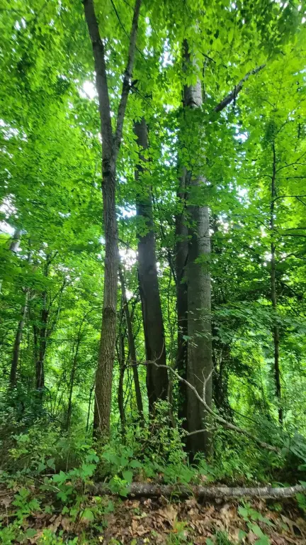
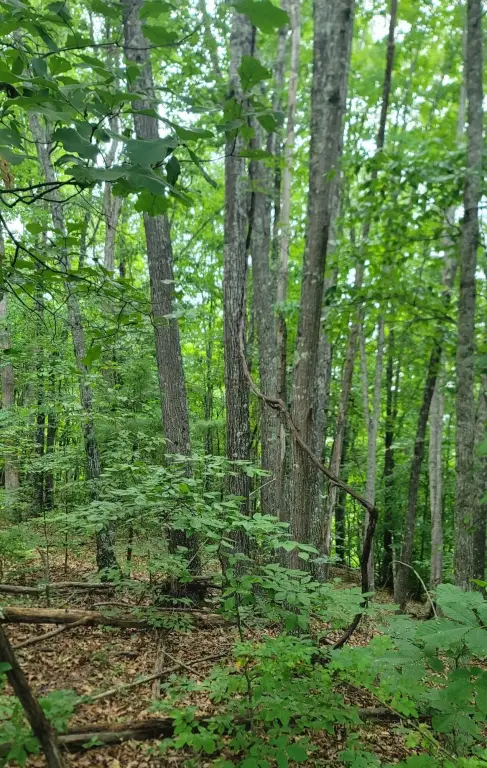
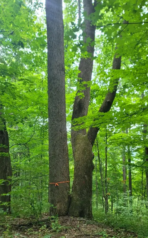
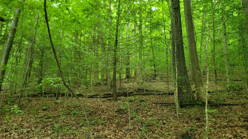
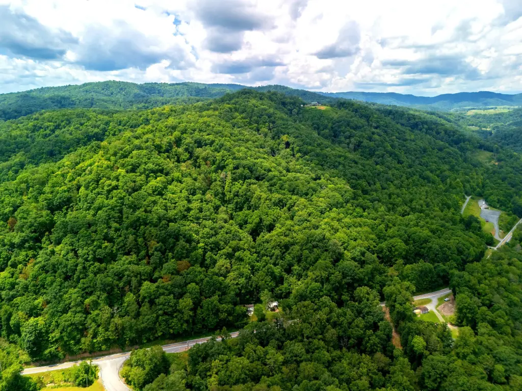
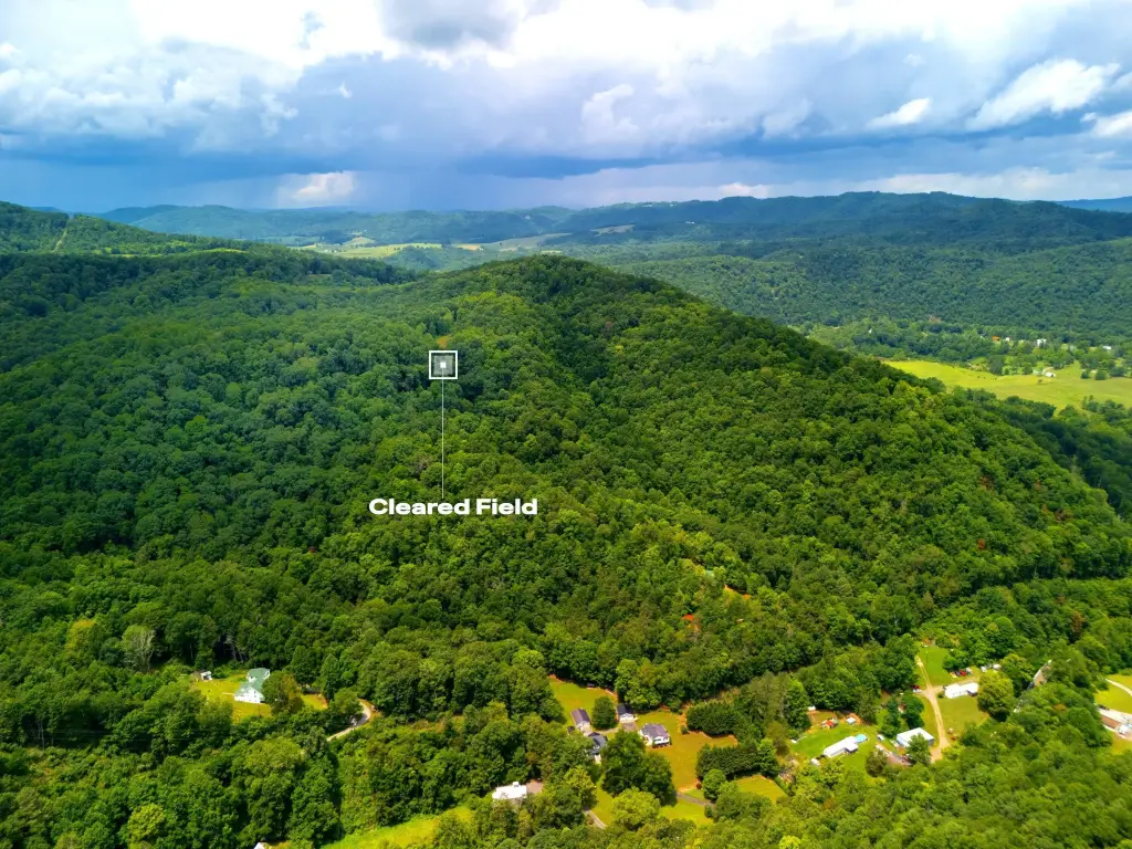
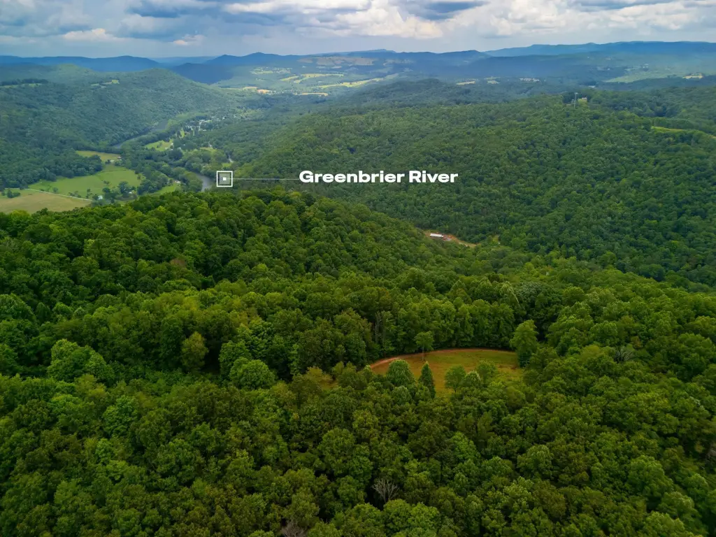
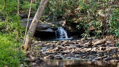
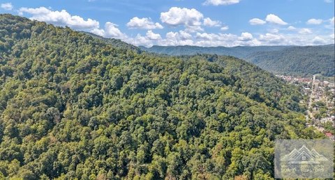
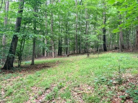
This mountain recreation land tract spans approximately 90.22 acres and is described as offering areas of flats near the top of the mountain, along with a small field and a drilled well. The property includes springs and surveyed minerals that convey.
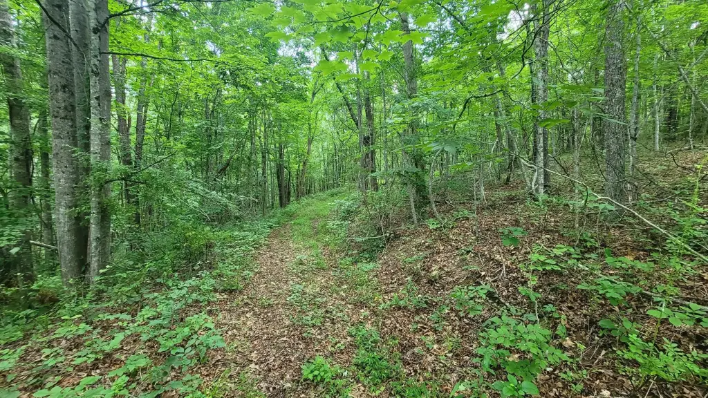
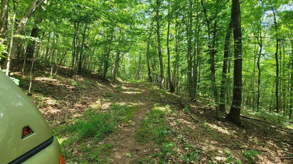
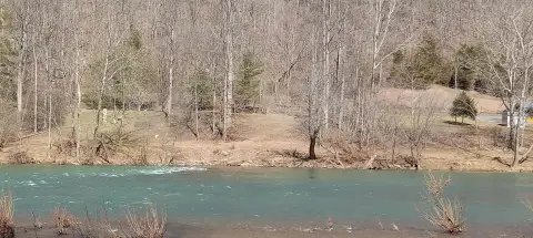
Access is described via a 4WD Crawford Lane Access Trail about one mile to the peak. Route 12 and Takota Mountain Road access are also noted for estimated buildable treed land near power, and Greenbrier River access is referenced near WillowWood.
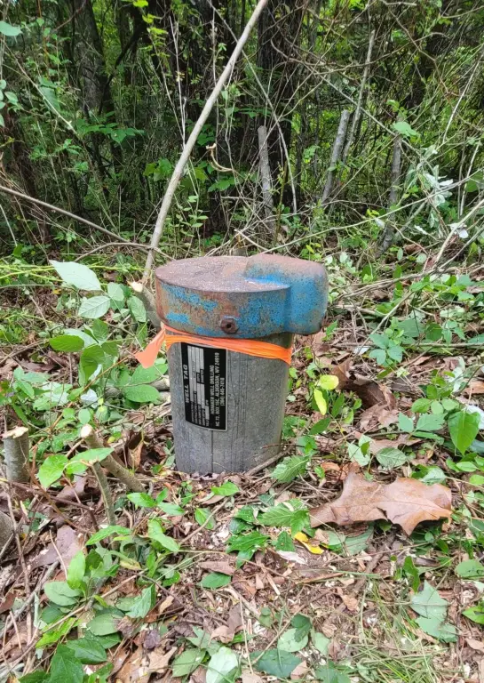
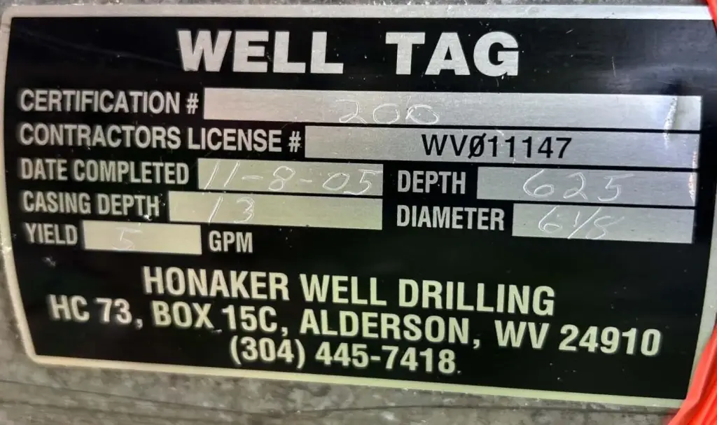
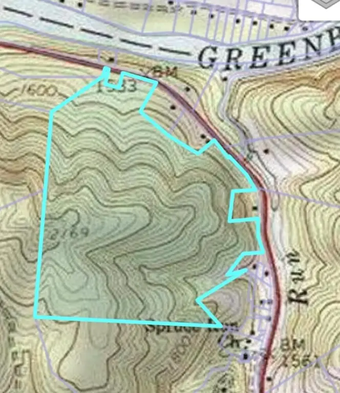
The well is described as drilled at about 625 feet with an estimated flow of 5 gallons per minute, and elevation is stated as ranging from 1533 to 2169 feet across the property.
Access is described via a 4WD Crawford Lane Access Trail about one mile to the peak. Route 12 and Takota Mountain Road access are also noted for estimated buildable treed land near power, and Greenbrier River access is referenced near WillowWood.
The well is described as drilled at about 625 feet with an estimated flow of 5 gallons per minute, and elevation is stated as ranging from 1533 to 2169 feet across the property.
Key Highlights
- 90.22‑acre mountain property with elevation ranging from 1,533 to 2,169 ft
- Drilled well on the mountain roundabout loop: 625 ft deep, 5 GPM
- About 25 acres of relatively flat land on top, plus a small field near the drilled well
Property Analytics
Current Use
Lease Details
Yes
Paved road access
Location Intelligence
Trade Area within ½ mile
Explore this area
Business Placement
Demographics for 25951, WV
5,024
Population
3,497
Households
1.4
Avg Household Size
51
Median Age
17%
College-Educated
86%
High-School Grad
113.6 sq mi
ZIP Area
44
Density / Sq Mi
$36,679
Median Household Income
$35,145
Median Earnings
$890
Median Rent
$117,800
Median Home Value

Questions? Ask Rey
Realmo’s AI knows this listing — price, zoning, demand, history. Ask anything.


Frequently Asked Questions
What type of property is this?
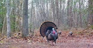
Hunting land - Recreational land near the Greenbrier River with surveyed mineral conveyance, springs, and a drilled well.
Where is this hunting land located?
The property is located at 18201 Wv-12 Hinton, WV.
What is the asking price?
The asking price for this property is $215,000.
What are key features of this property?
This property features: 90.22‑acre mountain property with elevation ranging from 1,533 to 2,169 ft; Drilled well on the mountain roundabout loop: 625 ft deep, 5 GPM; About 25 acres of relatively flat land on top, plus a small field near the drilled well


