Wooded Land Parcel with
15-3446 GLENWOOD RD Volcano, HI 96785
For Sale
$159,345
LAND - Volcano, HI
Lot Size5.42 Acres
Days on Market97
Property Features for 15-3446 GLENWOOD RD
General Information
Property type
Land
Property subtype
Other
Zoning
A-5A
Standard status
Active
APN
3180090050000
Lot size
5.42 Acres
Taxes and HOA fees
Tax Year
2025
Tax Annual Amount
200
Utilities
Utilities
Phone Available
Sewer type
Septic Tank
Listing Agency:
Real Broker
(808) 650-5145
Listed By:
Denise S. Nakanishi
(808) 936-5100
Added: Apr 22
Changed: Jul 22
Last Checked: Jul 27 at 6:06PM
MLS# 727908
Copyright © 2026 Hawaii Information Service. All rights reserved. All information provided by the listing agent/broker is deemed reliable but is not guaranteed and should be independently verified.
Investment Insights
Based on property information with market context.
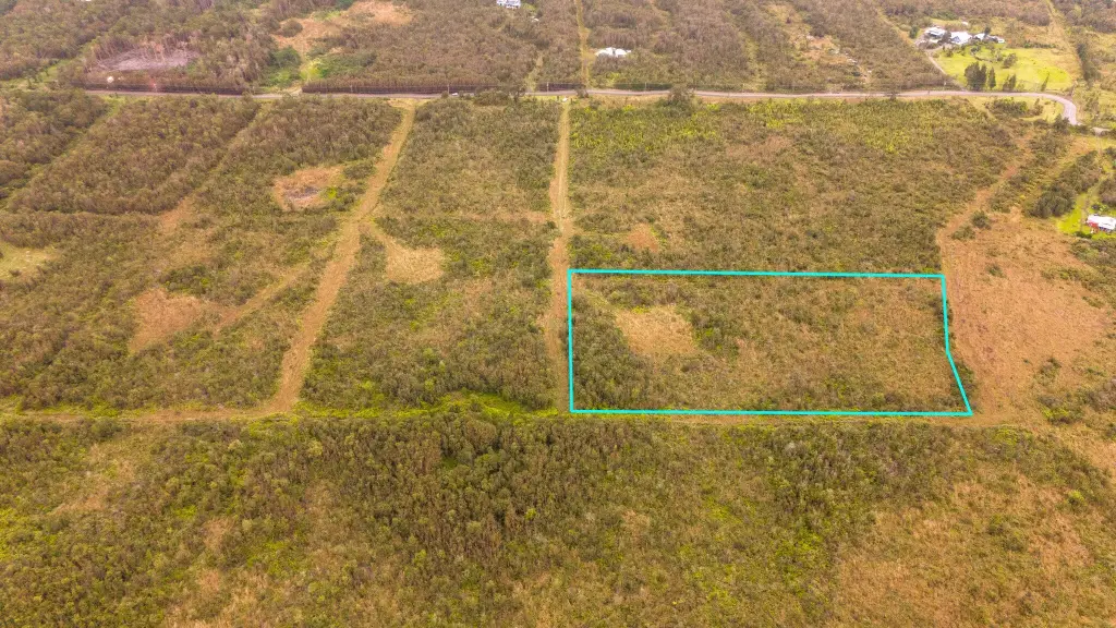
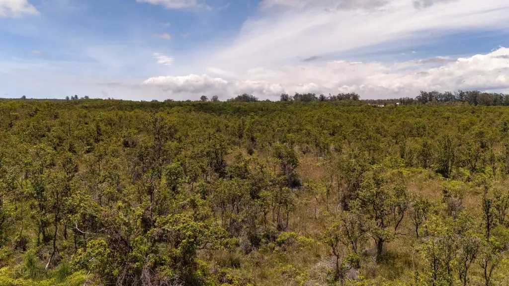
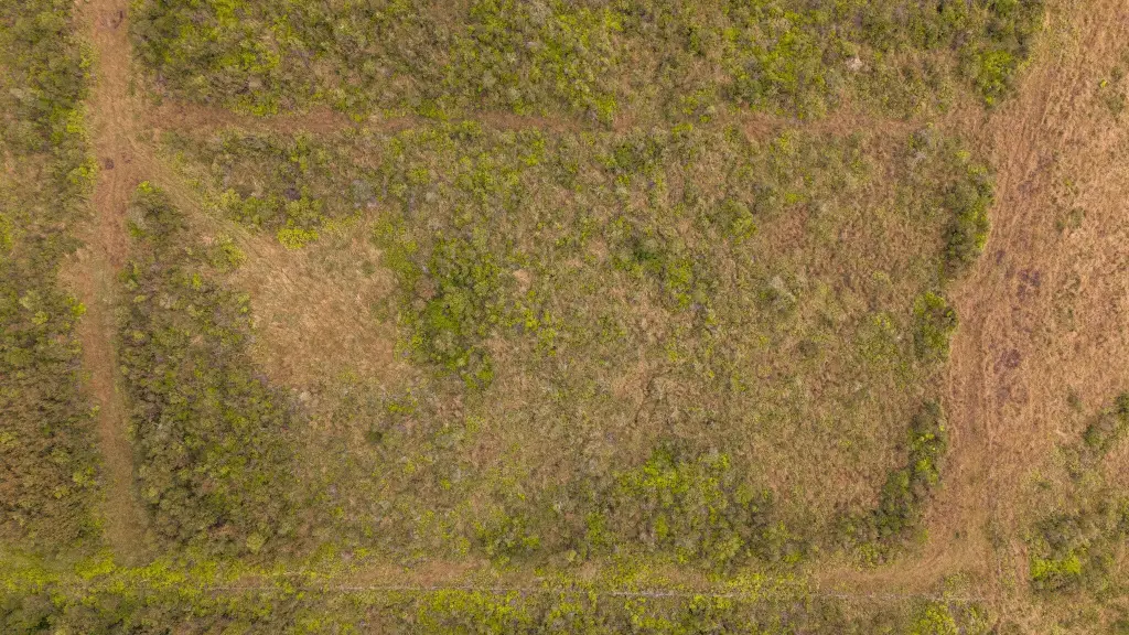
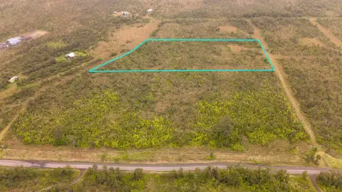
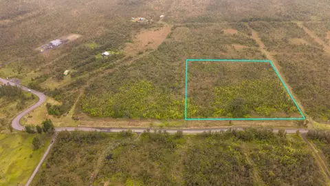
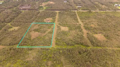
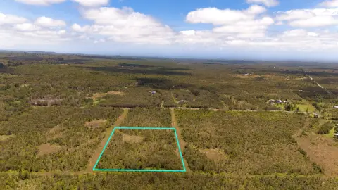
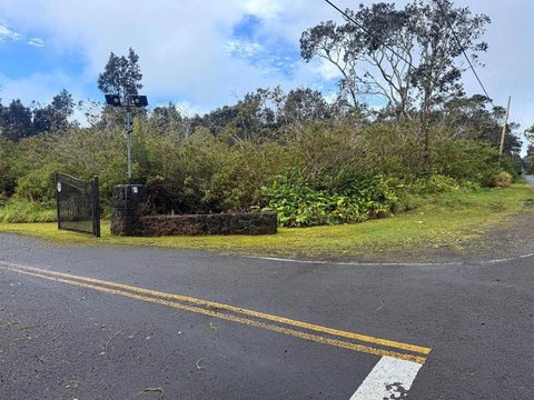
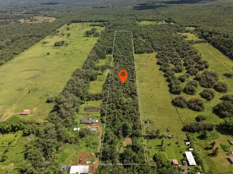
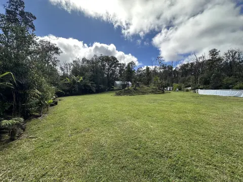
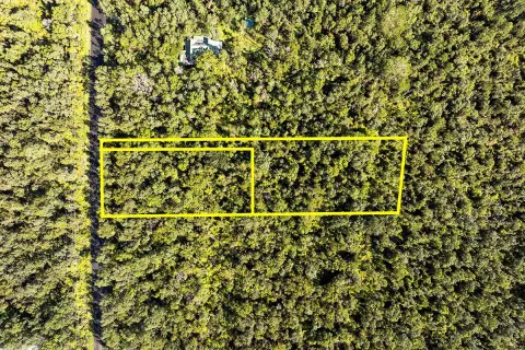
This for-sale land parcel is part of Pu'u 'O'o Ranchlands, a planned subdivision featuring rectangular lots sized at 5 acres and over. The parcel is wooded with soil and includes a graded driveway and a cleared house site. Nature trail easements are established as 10-foot wide corridors along the boundaries between front and rear lots.
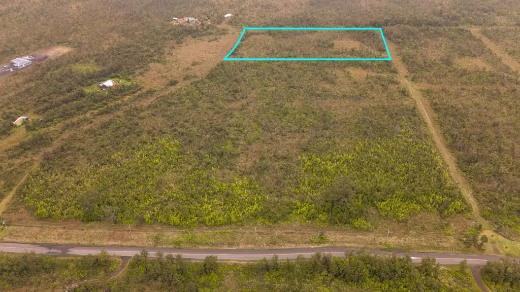
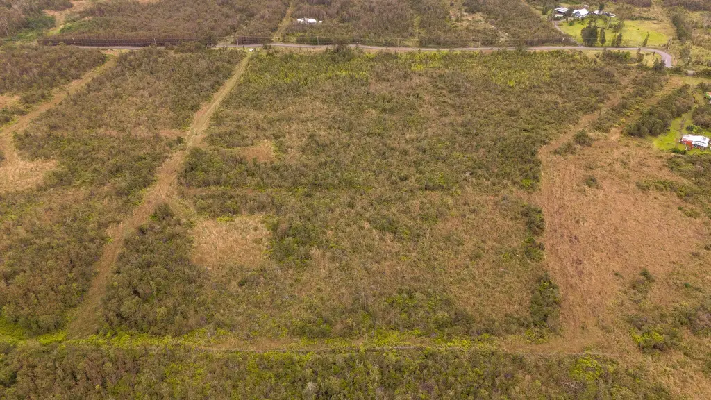
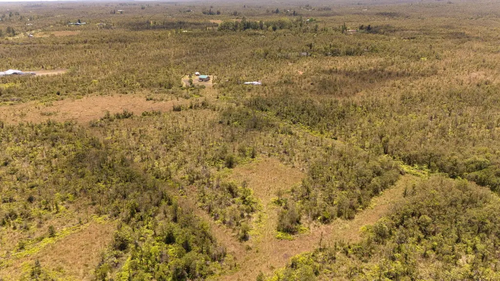
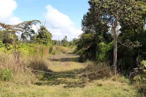
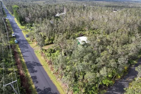
The property has access on a paved County road. It borders the State Forest Reserve and the historic Old Volcano Trail, and additional rear access is available via a farm gate and cross-easements. The subdivision also includes perimeter fencing intended to help keep out unwanted wildlife.
Zoning is listed as A-5A. Protective CCRs are described as reasonable, and the property is positioned for underground utility installation, with soils described as trench-friendly. The listing also notes that the trail system is intended to connect future phases to the Old Volcano Trail and a historic narrow gauge railroad grade.
Key Highlights
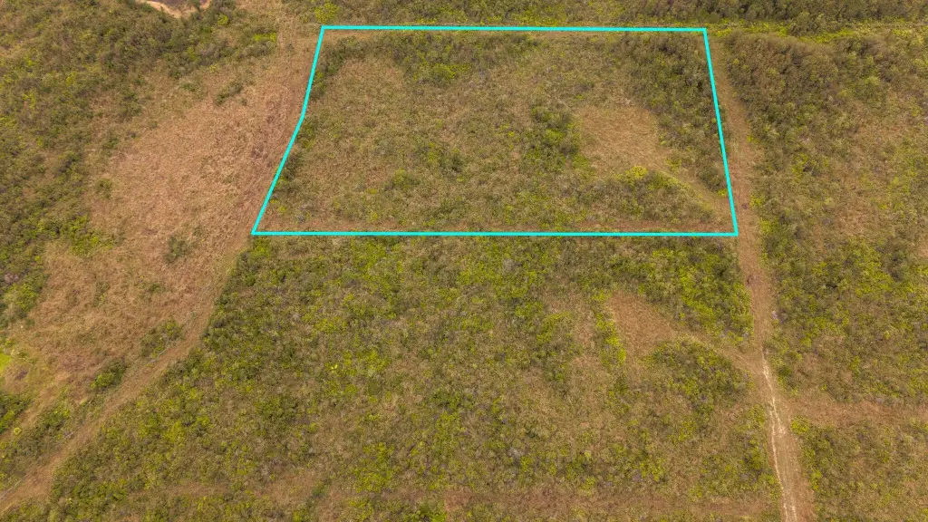
- 5.421‑acre parcel (Parcel 5) in Pu'u 'O'o Ranchlands with a graded driveway and cleared house site
- Parcel 5 borders the State Forest Reserve and the historic Old Volcano Trail
- Subdivision offers 5+ acre rectangular parcels with building areas about 200 feet apart for privacy
Property Analytics
Property Profile
Location Intelligence
Current Use


Frequently Asked Questions
What type of property is this?
Residential land & home lot - Wooded 5+ acre parcel with a graded driveway and cleared house site, with paved road access.
Where is this residential land & home lot located?
The property is located at 15-3446 GLENWOOD RD Volcano, HI.
What is the asking price?
The asking price for this property is $159,345.
What are key features of this property?
This property features: 5.421‑acre parcel (Parcel 5) in Pu'u 'O'o Ranchlands with a graded driveway and cleared house site; Parcel 5 borders the State Forest Reserve and the historic Old Volcano Trail; Subdivision offers 5+ acre rectangular parcels with building areas about 200 feet apart for privacy


