Development Land with Highway
For Sale
$11,497,660
IN Hwy 13 & 38, Lapel, IN 46051
LAND - Lapel, IN
Property SizeContact for details
Lot Size148.88 Acres
Days on Market271
Property Features for IN Hwy 13 & 38
General Information
Property type
Land
Property subtype
Other
Zoning description
Agricultural
High school district
Frankton-Lapel Community Schools
Directions
Corner of IN Highway 13 & 38
Standard status
Active
Lot size
148.88 Acres
Taxes and HOA fees
Tax Annual Amount
3200
Listing Agency:
Mossy Oak Properties Michigan Outdoors
(269) 313-0350
Listed By:
Chad Renbarger · License #RB16001466
Added: Nov 24, 2025
Changed: Jul 2
Last Checked: Aug 22 at 8:06PM
MLS# 11611022
Copyright © 2026 My State MLS. All rights reserved. All information provided by the listing agent/broker is deemed reliable but is not guaranteed and should be independently verified.
Investment Insights
Based on property information with market context.
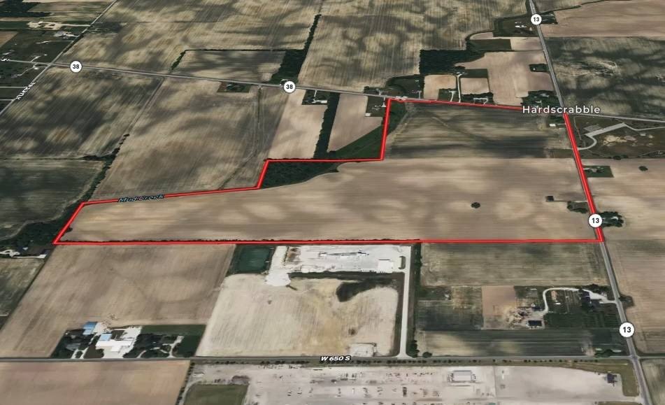
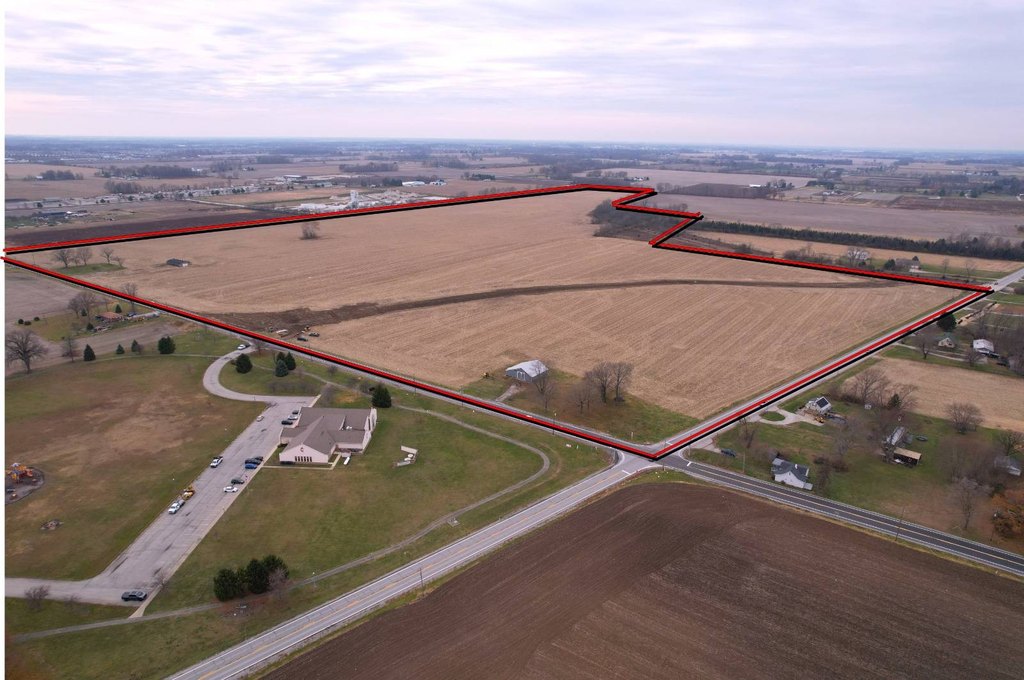
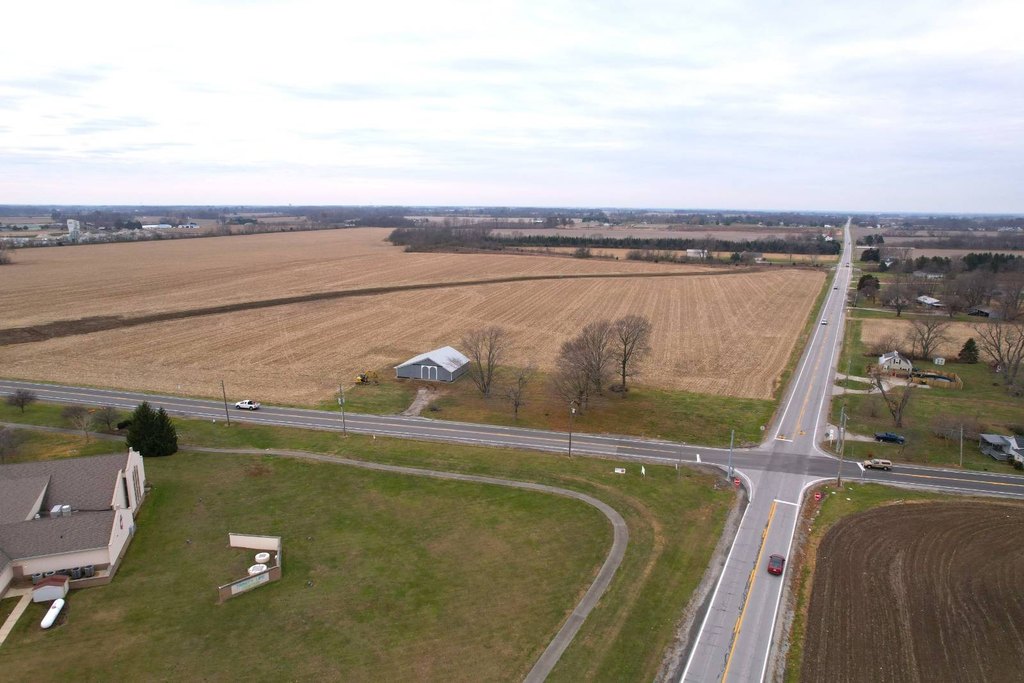
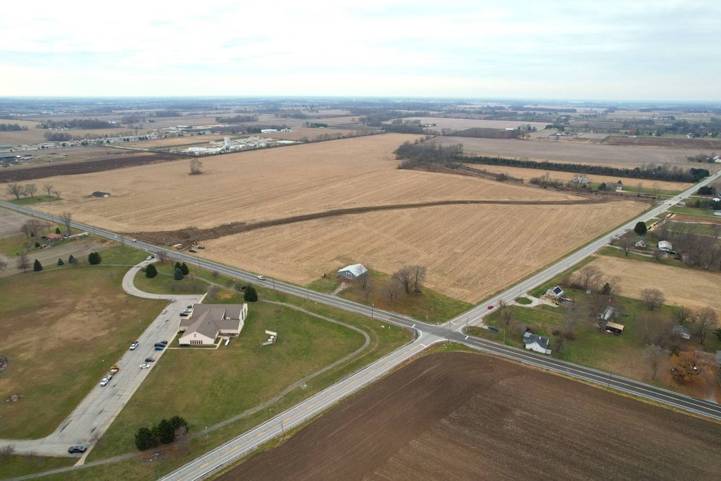
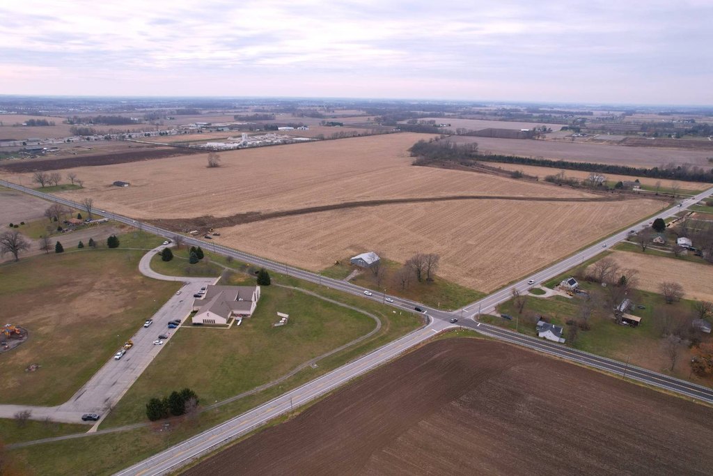
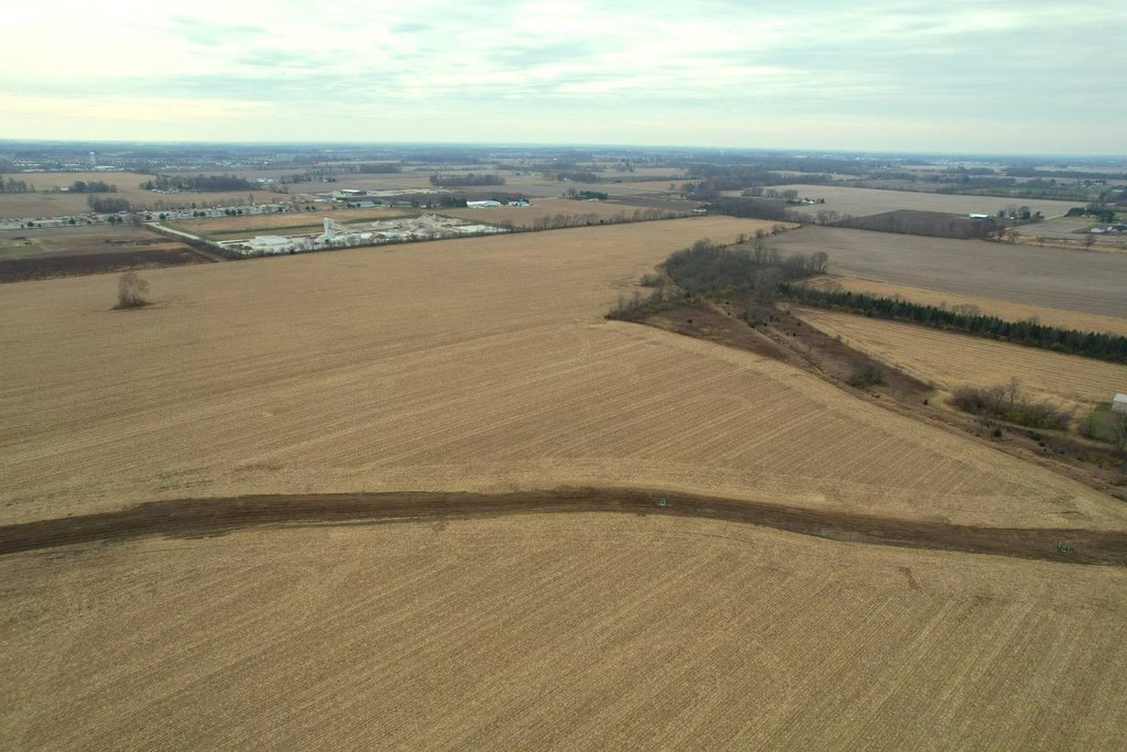
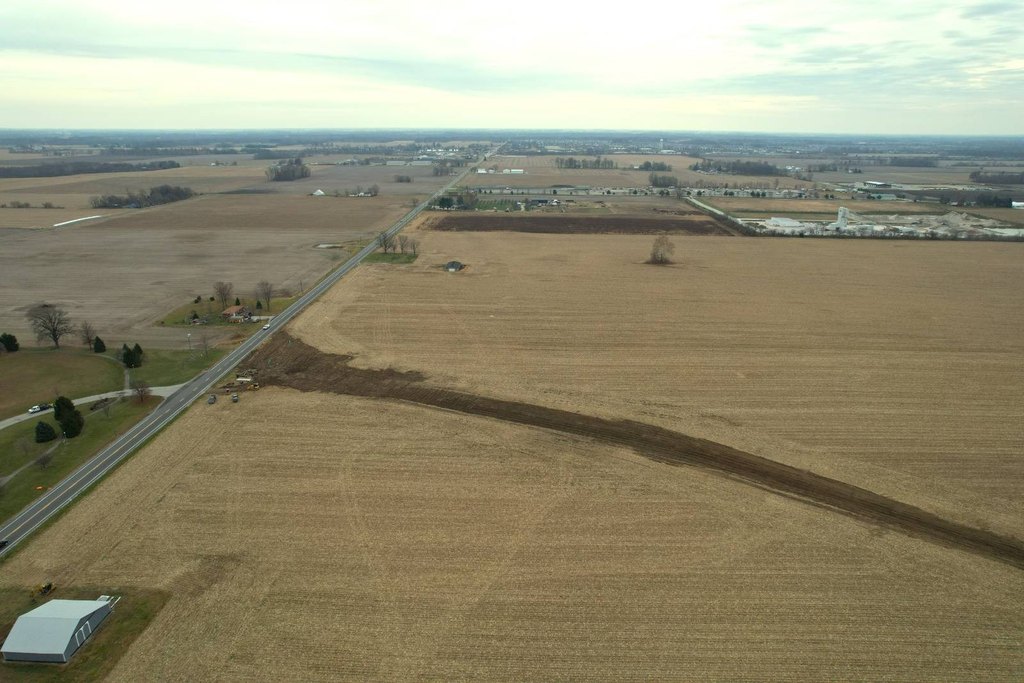
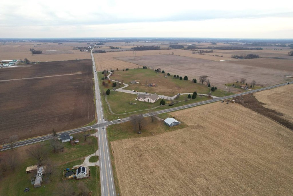
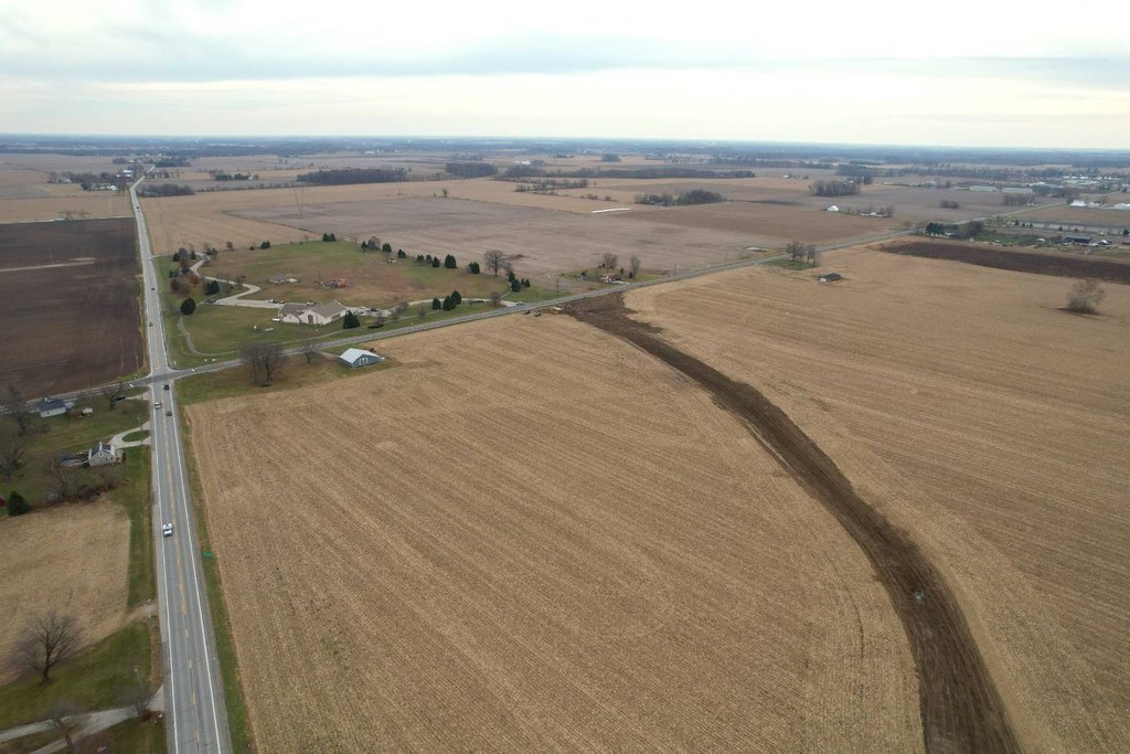
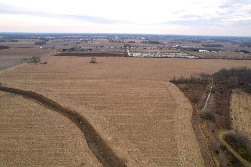
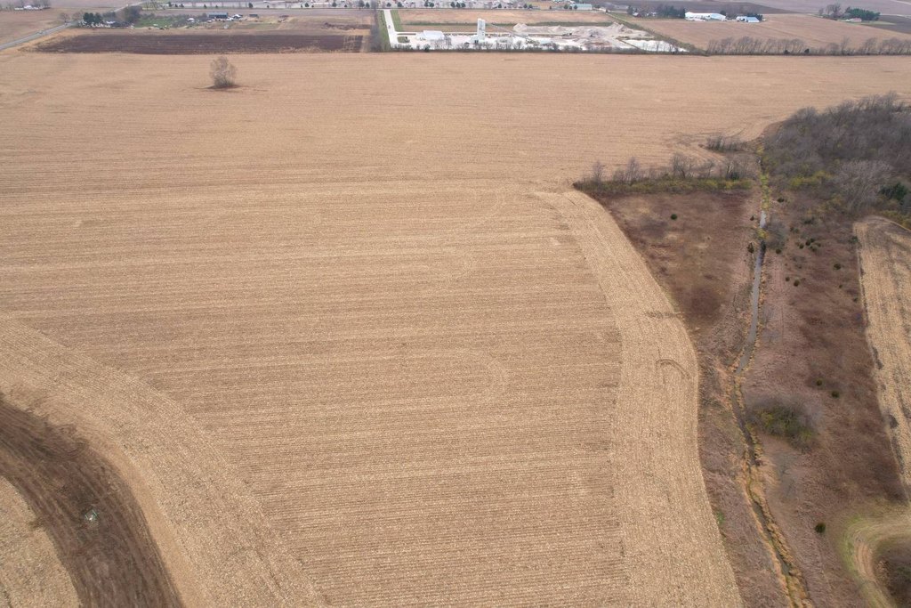
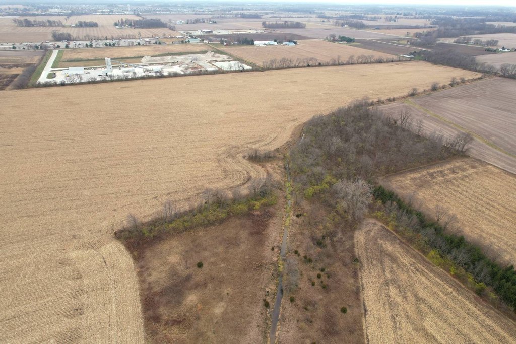
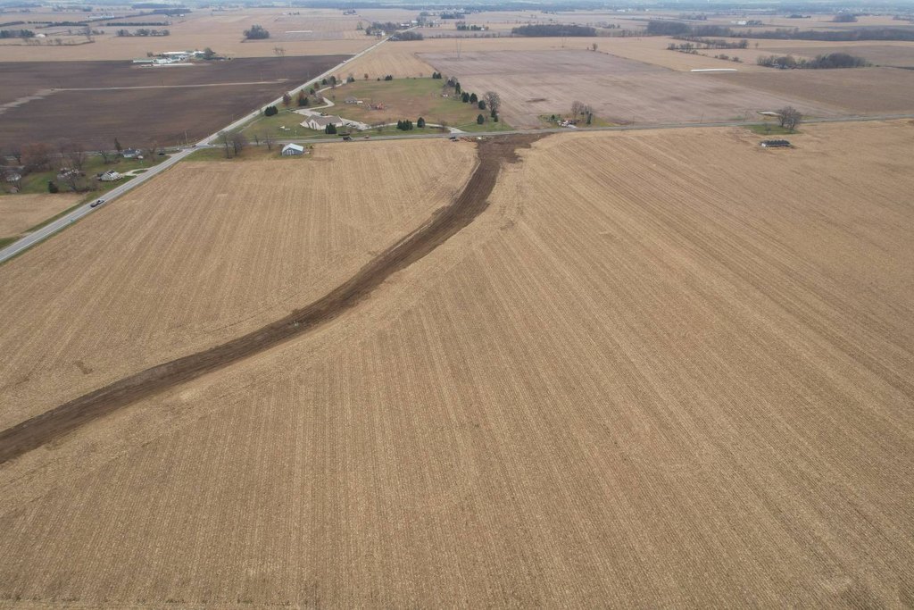
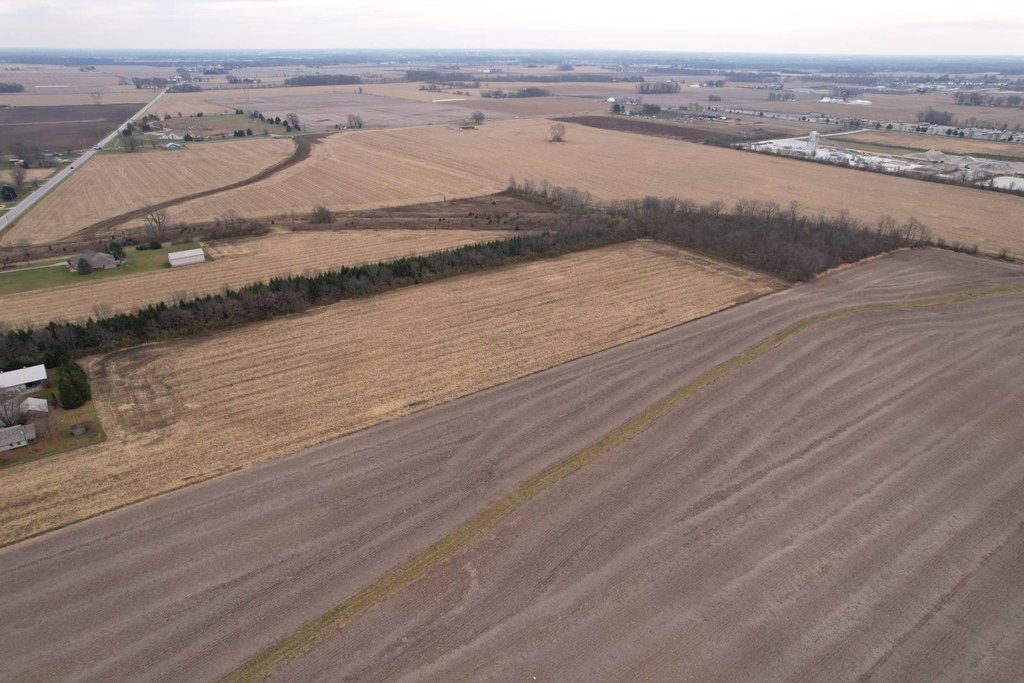
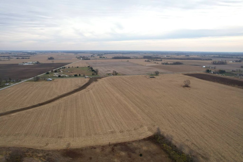
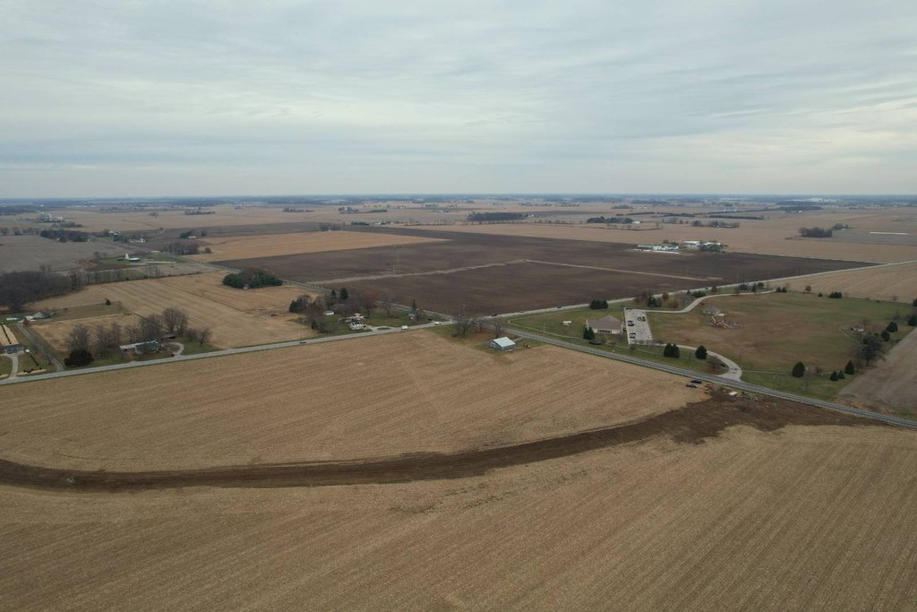
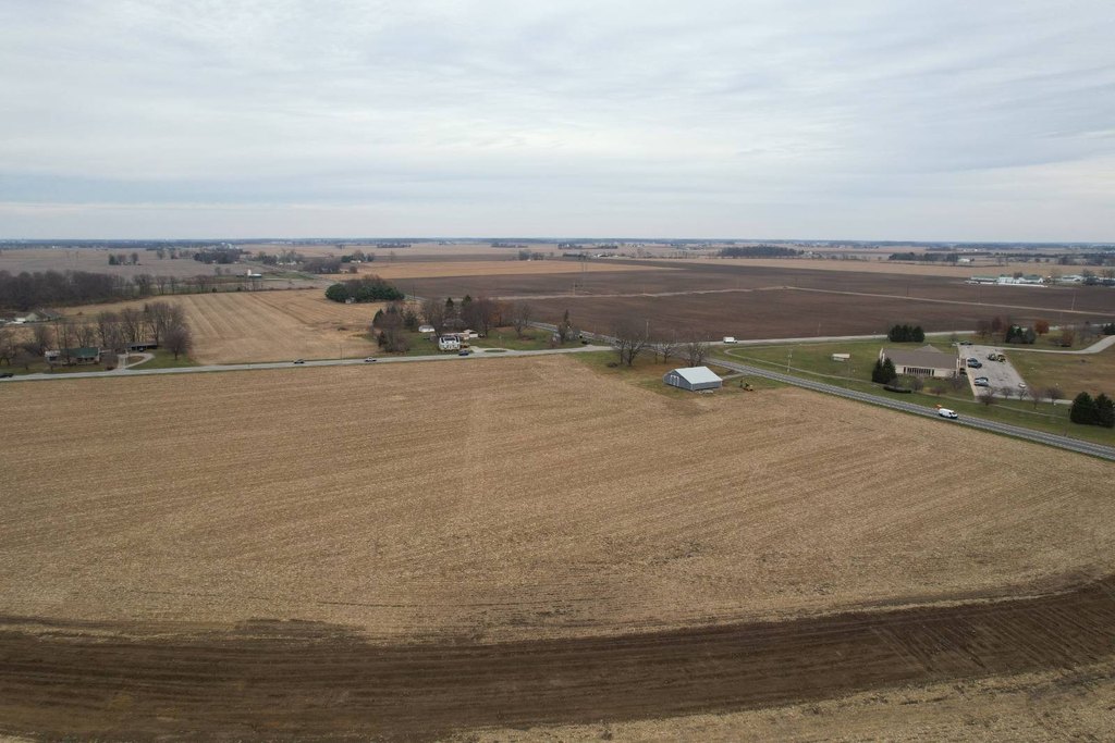
This offering is a 148.88-acre commercial development land parcel in Madison County, Indiana. The property provides substantial road frontage along two state routes, including more than 2,200 feet on Highway 13 and more than 1,700 feet on Highway 38. Sewer access is described as being available via Fall Creek just across Highway 13, and a water supply is located less than 1/4 mile from the site. Zoning falls under the jurisdiction of the Town of Lapel.
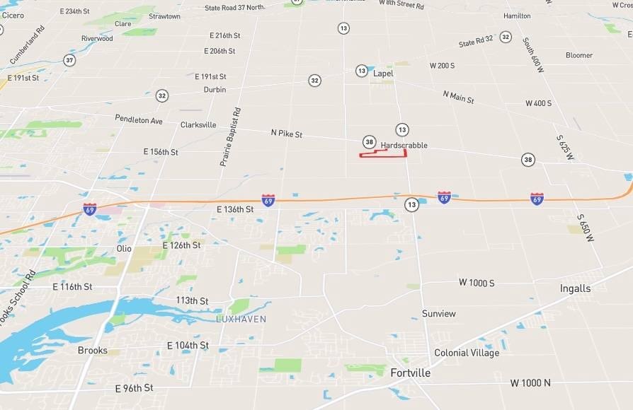
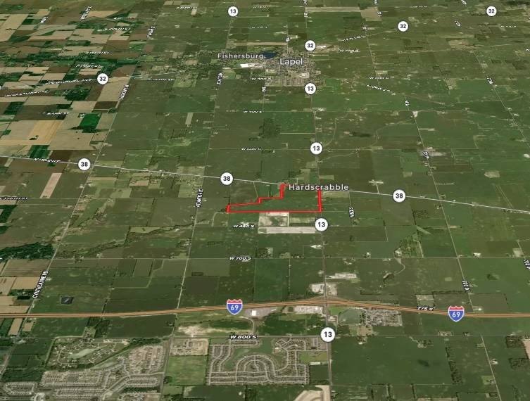
The location supports convenient regional access, with the property positioned about 1.3 miles from Interstate I-69. It is also approximately 3 miles from Lapel, with Fishers roughly 10 miles away and Noblesville about 8 miles from the property.
For buyers and developers evaluating multi-use or large-format site planning, the combination of acreage and long highway frontage can support a range of development approaches, subject to Town of Lapel zoning requirements and approvals. The proximity to identified utility access points may also help in early project planning for infrastructure coordination.
The location supports convenient regional access, with the property positioned about 1.3 miles from Interstate I-69. It is also approximately 3 miles from Lapel, with Fishers roughly 10 miles away and Noblesville about 8 miles from the property.
For buyers and developers evaluating multi-use or large-format site planning, the combination of acreage and long highway frontage can support a range of development approaches, subject to Town of Lapel zoning requirements and approvals. The proximity to identified utility access points may also help in early project planning for infrastructure coordination.
Key Highlights
- 148+ acre land parcel in Madison County, Indiana, with development, agriculture, or recreational use potential.
- Road frontage along Highway 13 (2,200+ ft) and Highway 38 (1,700+ ft).
- Fall Creek sewer access just across Highway 13.
Property Analytics
Current Use
Lease Details
Yes
Highway access
Yes
Paved road access
Yes
Utilities to site
Location Intelligence
Trade Area within ½ mile
10
Businesses Nearby
Explore this area
Business Placement
Demographics for 46051, IN
2,811
Population
1,192
Households
2.4
Avg Household Size
40
Median Age
30%
College-Educated
95%
High-School Grad
15.5 sq mi
ZIP Area
181
Density / Sq Mi
$77,411
Median Household Income
$51,885
Median Earnings
$1,253
Median Rent
$190,700
Median Home Value

Questions? Ask Rey
Realmo’s AI knows this listing — price, zoning, demand, history. Ask anything.
Frequently Asked Questions
What type of property is this?
Commercial land - Large Madison County tract with extensive frontage on two highways and nearby sewer and water access.
Where is this commercial land located?
The property is located at IN Hwy 13 & 38 Lapel, IN.
What is the asking price?
The asking price for this property is $11,497,660.
What are key features of this property?
This property features: 148+ acre land parcel in Madison County, Indiana, with development, agriculture, or recreational use potential.; Road frontage along Highway 13 (2,200+ ft) and Highway 38 (1,700+ ft).; Fall Creek sewer access just across Highway 13.


