Development Land with Hwy
121.147 Acres. State Hwy 31 Bypass Corsicana, TX 75110
For Sale
$2,531,972
LAND - Corsicana, TX
Lot Size121.15 Acres
Days on Market99
Property Features for 121.147 Acres. State Hwy 31 Bypass
General Information
- Property type
- Land
- Property subtype
- Other
- Standard status
- Active
- APN
- 50473
- Lot size
- 121.15 Acres
Taxes and HOA fees
- Tax Description
- ABS A10299 R GOODLOE ABST TRACT 130A 37.0 ACR
- Tax Annual Amount
- 53
Listing Agency:
Keller Williams Lonestar DFW
(817) 795-2500
Listed By:
Laura Smith · License #0645005
(817) 795-2500
Added: Apr 16
Changed: Jun 3
Last Checked: Jul 23 at 6:06PM
MLS# 21236208
Copyright © 2026 North Texas Real Estate Information Systems, Inc. All rights reserved. All information provided by the listing agent/broker is deemed reliable but is not guaranteed and should be independently verified.
Investment Insights
Based on property information with market context.
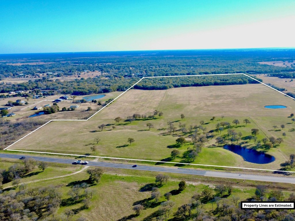
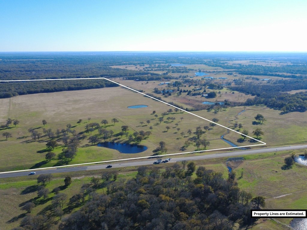
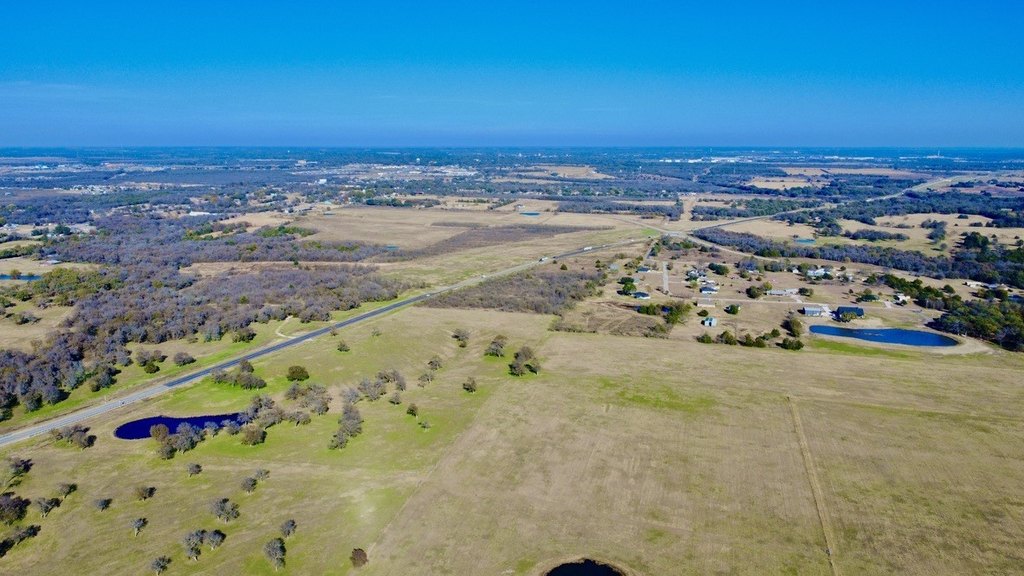
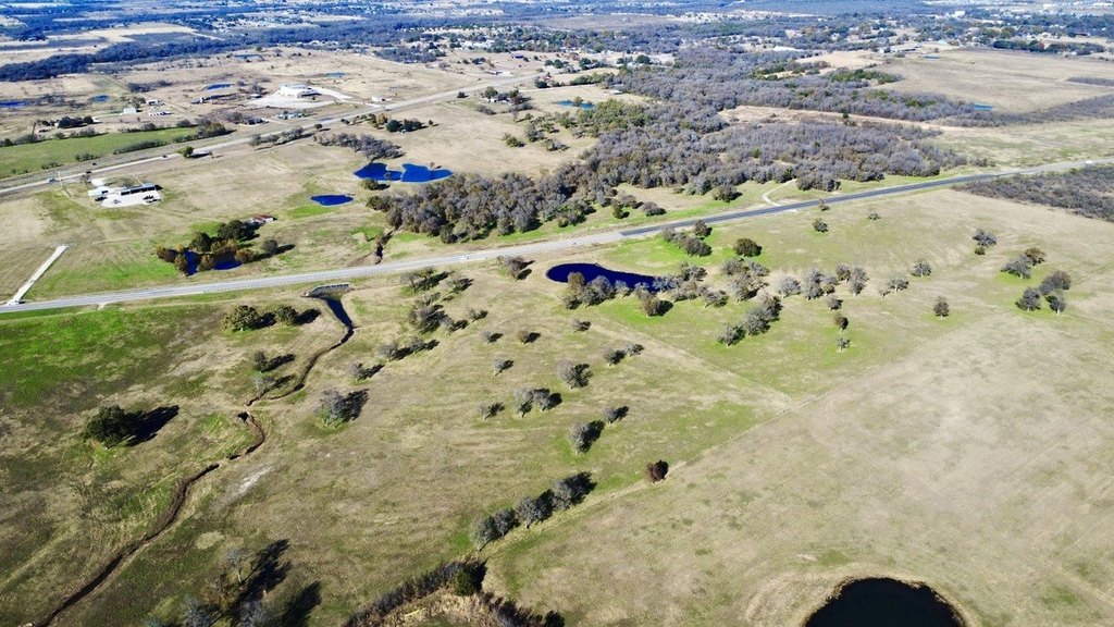
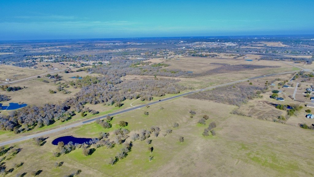
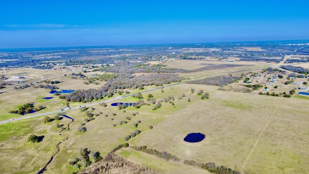
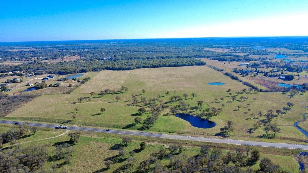
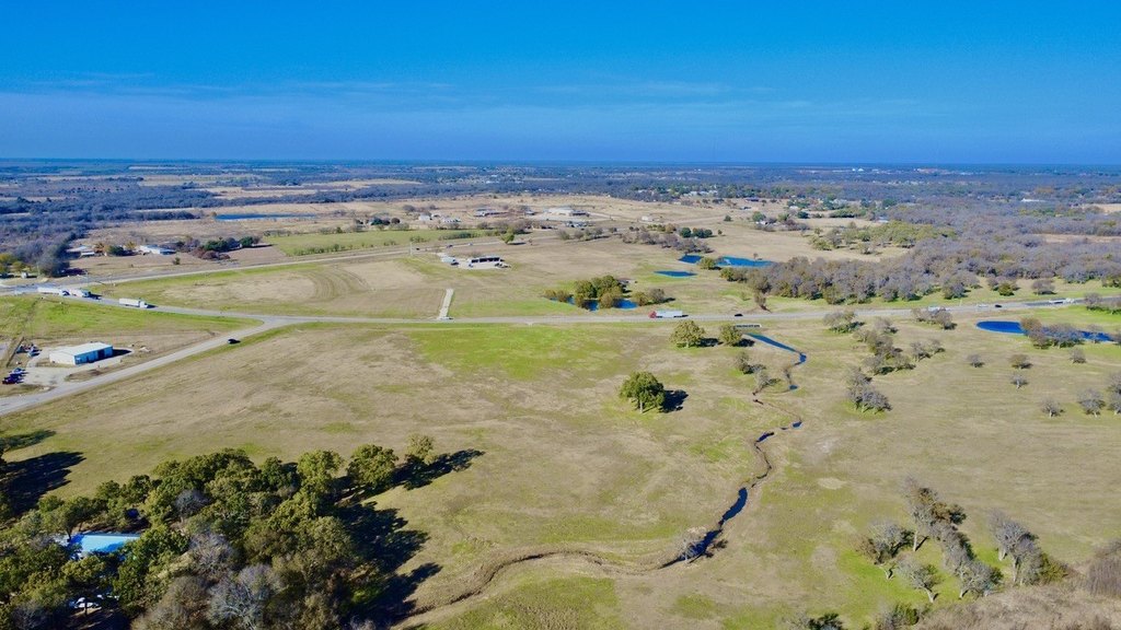
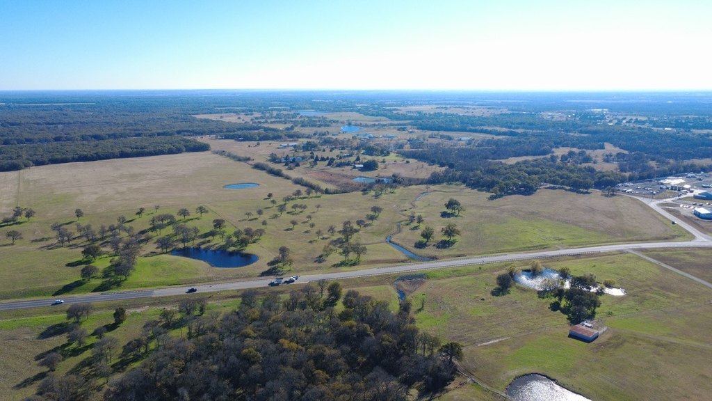
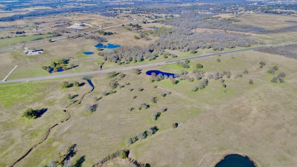
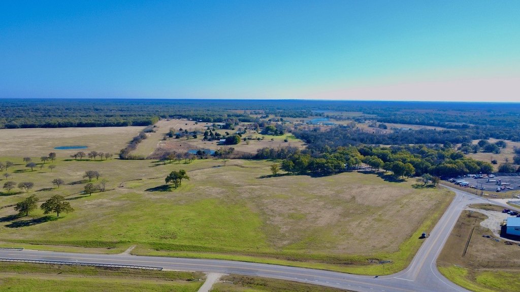
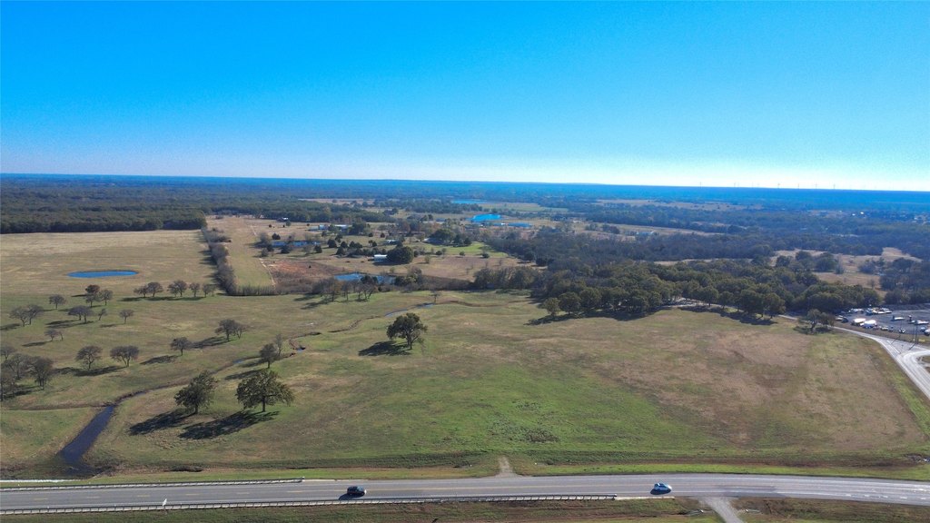
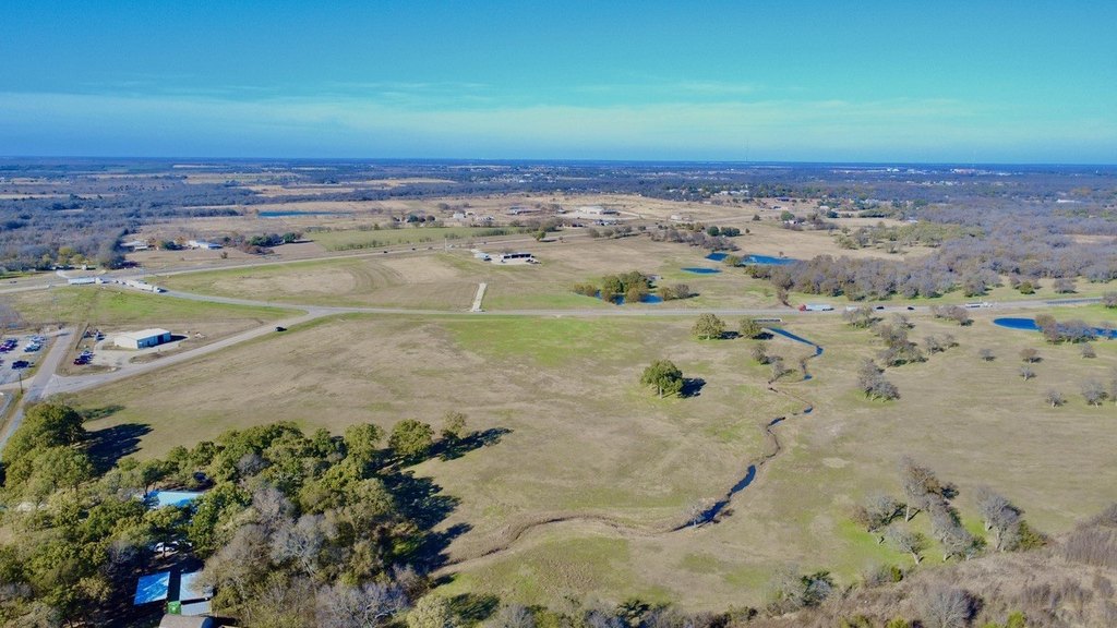
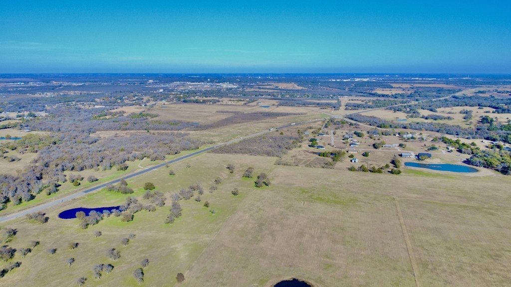
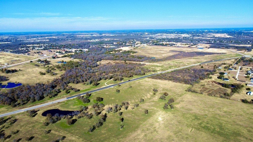
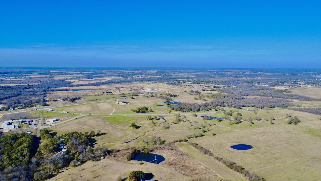
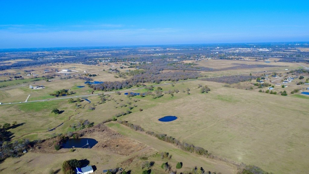
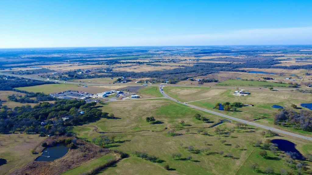
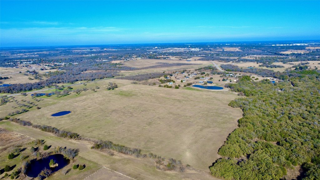
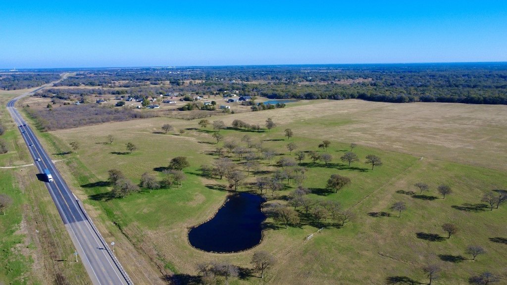
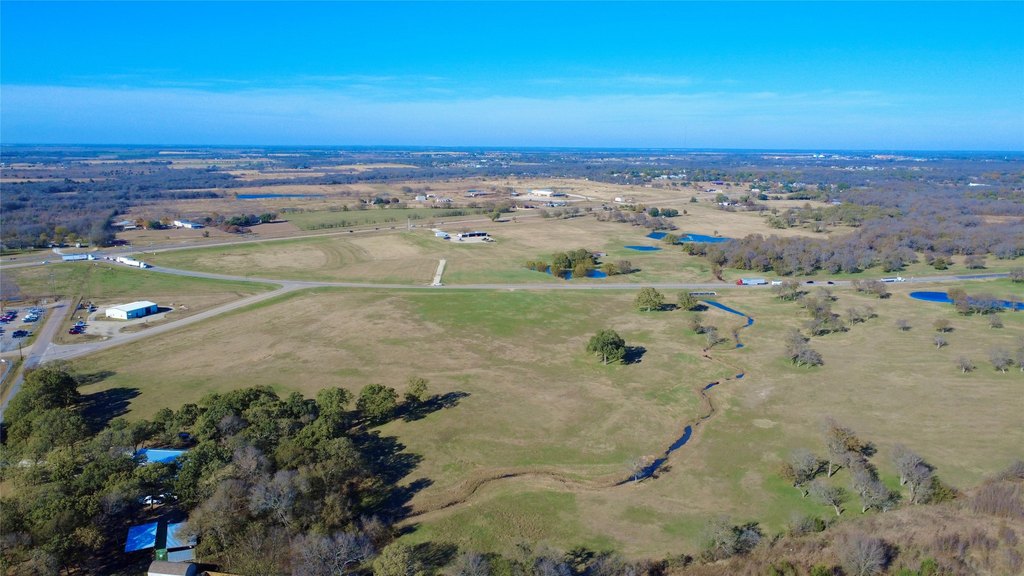
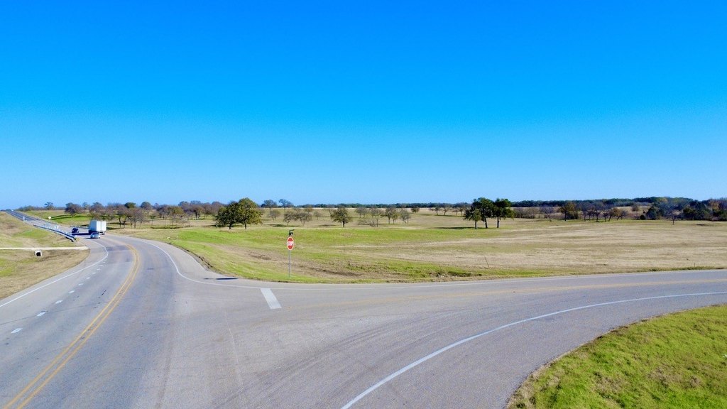
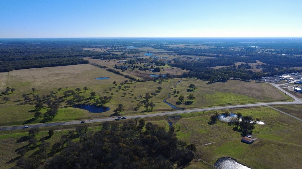
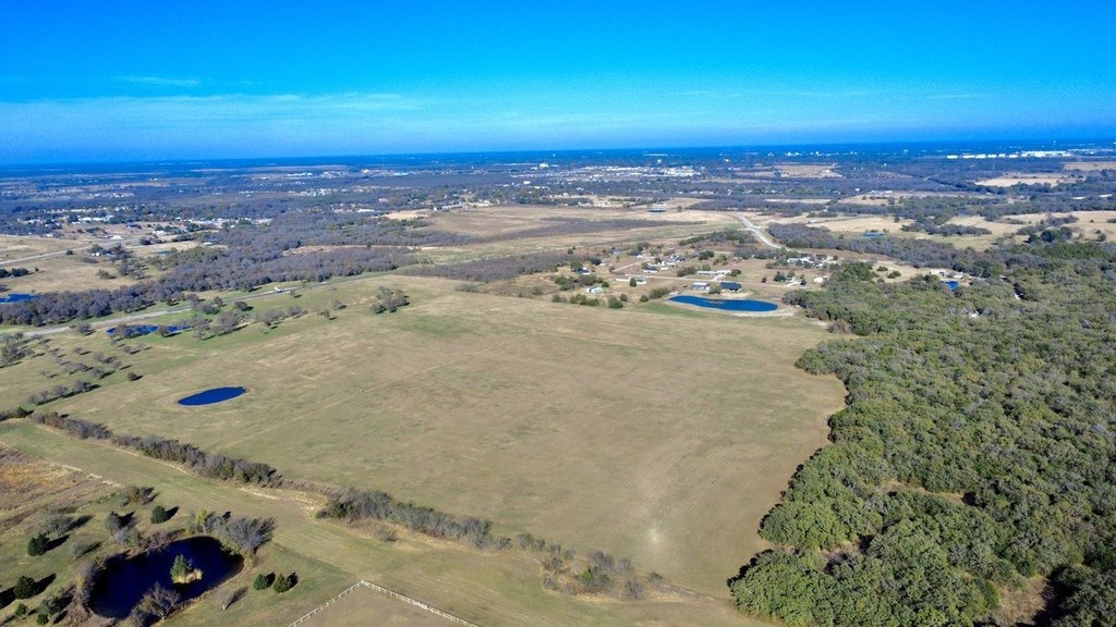
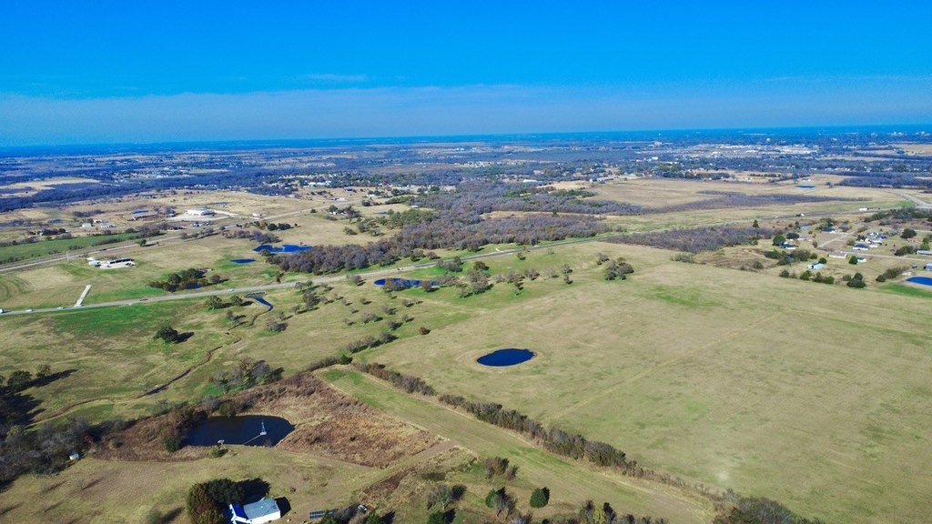
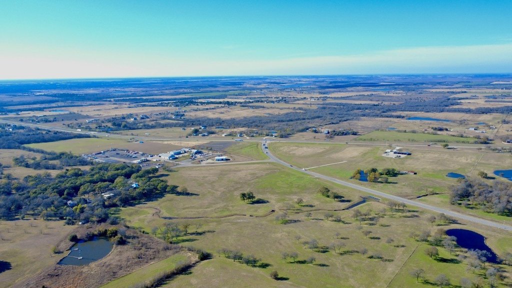
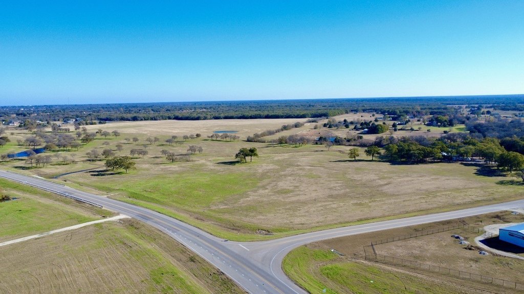
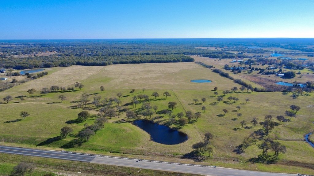
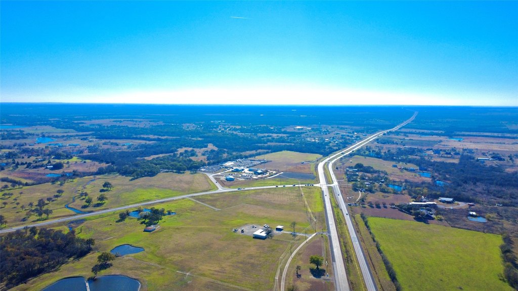
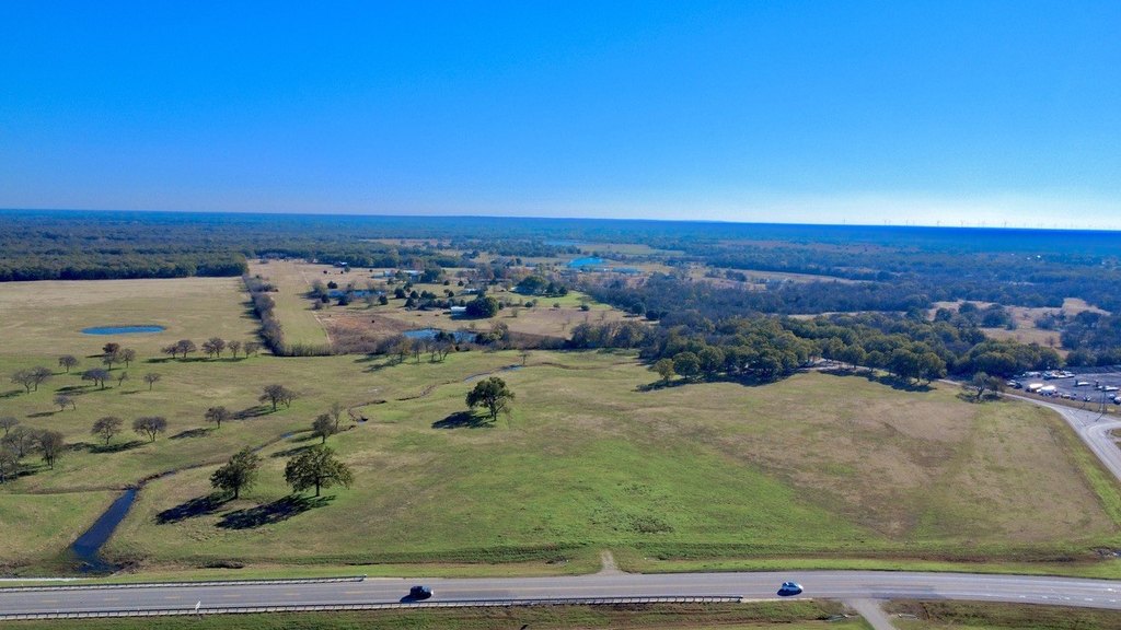
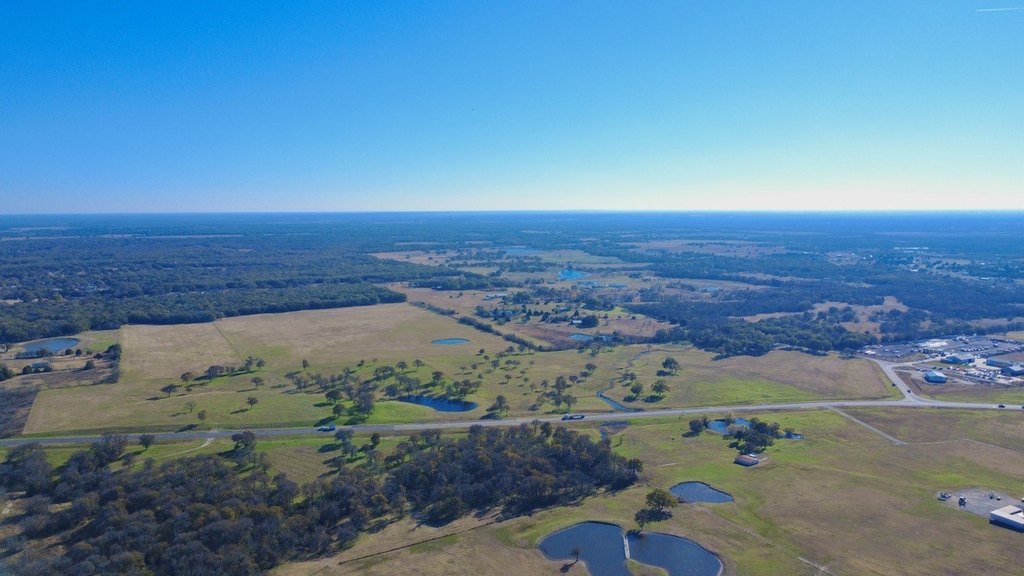
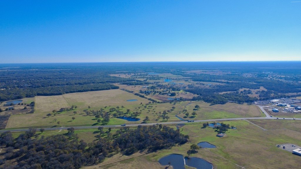
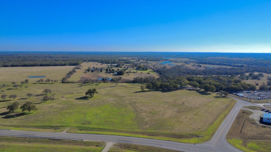
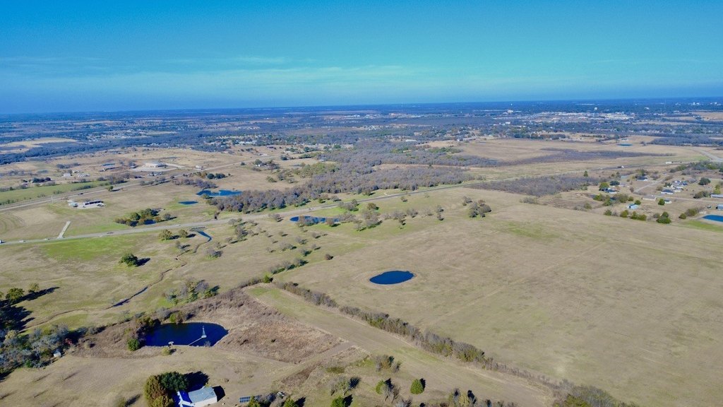
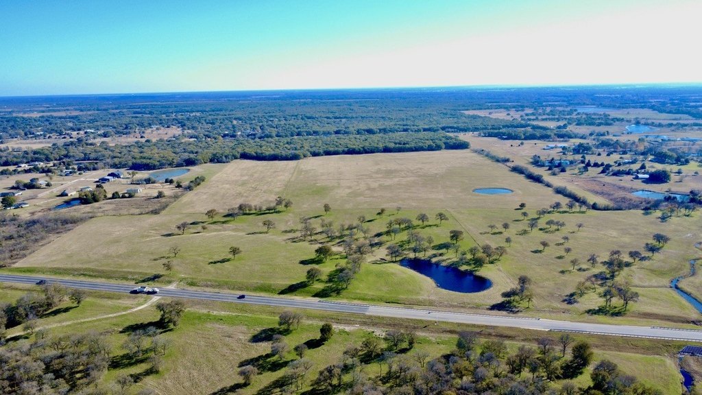
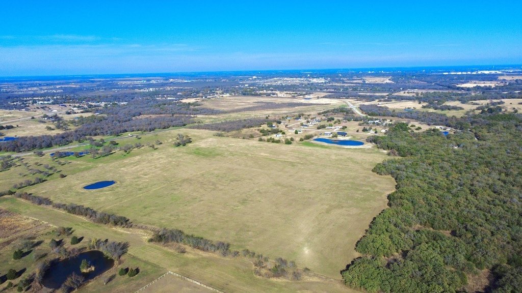
This offering consists of a commercial land tract of just over 121 acres located just west of Corsicana, immediately outside the city limits. The property presents an excellent development opportunity with approximately 2,400 feet of road frontage along the HWY 31 Loop Bypass, subject to final verification by survey. Deed restrictions will apply, including prohibitions on dumping, junkyards, hog farms, and manufactured homes.
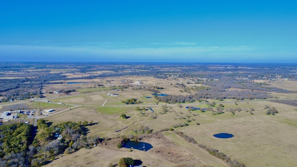
The tract is positioned on the SH 31 Corsicana Bypass and is described as benefiting from exceptional exposure in a rapidly growing, high-traffic area. While the listing highlights the visibility and development potential, buyers should verify all access, utility availability, and related costs. The exact acreage and road frontage are estimated in the MLS and must be confirmed through survey.
Given the scale and frontage, this property may appeal to investors and developers looking to capitalize on expanding infrastructure and demand along a major bypass corridor. The deed restrictions may also be attractive for buyers seeking to maintain a certain quality standard for future uses, while the need to confirm access and utilities should be accounted for in planning and underwriting.
Key Highlights
- Just over 121 acres west of Corsicana, immediately outside city limits on the Hwy 31 Loop Bypass
- Approximately 2,400 feet of road frontage on Hwy 31 Loop
- Located at the highly trafficked SH 31 Corsicana Bypass with strong visibility in a high‑traffic area
Property Analytics
Location Intelligence
Current Use by Public Records
Commercial land


FAQs
What type of property is this?
Commercial land - A large tract near a high-traffic bypass offering strong exposure, with deed restrictions to support long-term quality.
Where is this commercial land located?
The property is located at 121.147 Acres. State Hwy 31 Bypass Corsicana, TX.
What is the asking price?
The asking price for this property is $2,531,972.
What are key features of this property?
This property features: Just over 121 acres west of Corsicana, immediately outside city limits on the Hwy 31 Loop Bypass; Approximately 2,400 feet of road frontage on Hwy 31 Loop; Located at the highly trafficked SH 31 Corsicana Bypass with strong visibility in a high‑traffic area


