Planted Pine Agricultural
For Sale
$330,000
1-18-24 AR Hwy 360, Stamps, AR 71860
Vacant Land, Stamps, AR
Property SizeContact for details
Lot Size147.35 Acres
Days on Market100
Property Features for 1-18-24 AR Hwy 360
General Information
Property type
Land
Property subtype
Other
Subdivision
Stamps
Lot features
Sloped, Level, Rural Property, Wooded, Not in Subdivision, Out of City, Unimproved, Timberland, Hunting/ Recreation
Directions
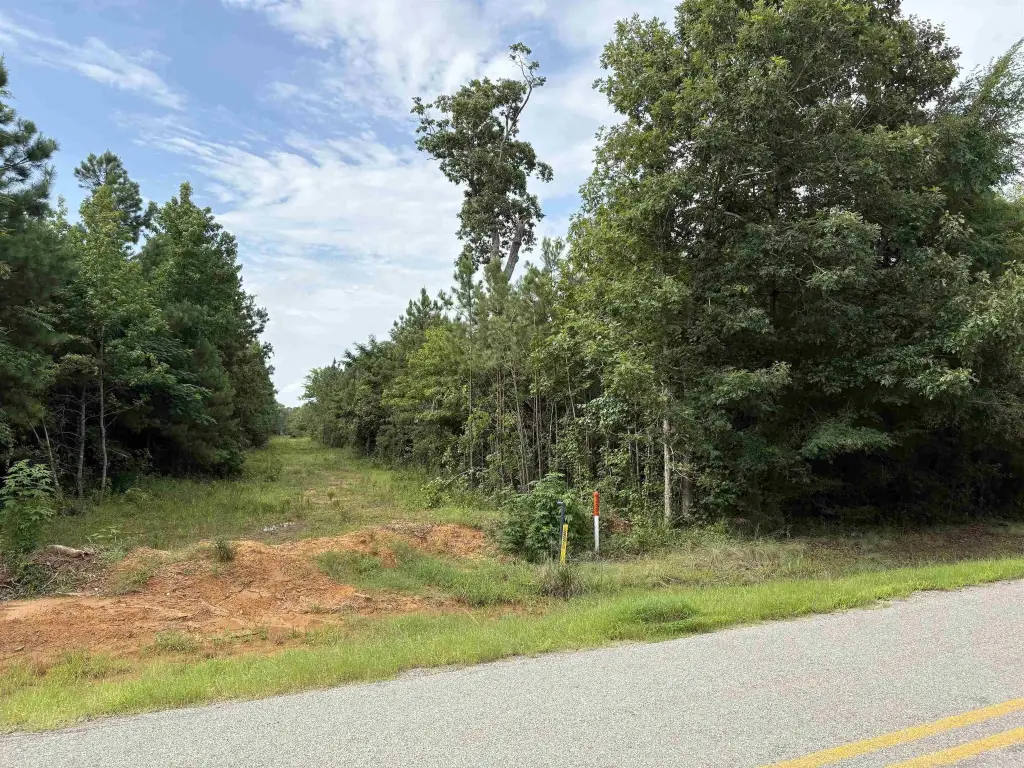
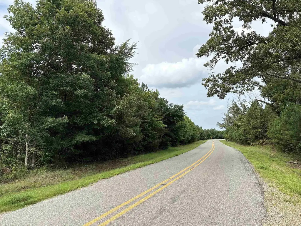
From Stamps, AR - head southerly along AR-Hwy 53 for roughly nine miles, then turn right onto AR-Hwy 360 aka "Homan RD" and travel westerly for about a mile. The property will be on the right-hand side (north of road).
Standard status
Active
Lot size
147.35 Acres
Taxes and HOA fees
Tax Description
1-18-24
Legal Description
1-18-24
Listing Agency:
United Country - Neeley Forestry Service
(870) 836-5981
Listed By:
Jordan Bradshaw
(870) 807-0629
Added: Jun 8
Changed: Sep 8
Last Checked: Sep 15 at 2:06PM
MLS# 26032767
Copyright © 2026 Cooperative Arkansas Realtors Multiple Listing Service. All rights reserved. All information provided by the listing agent/broker is deemed reliable but is not guaranteed and should be independently verified.
Investment Insights
Based on property information with market context.
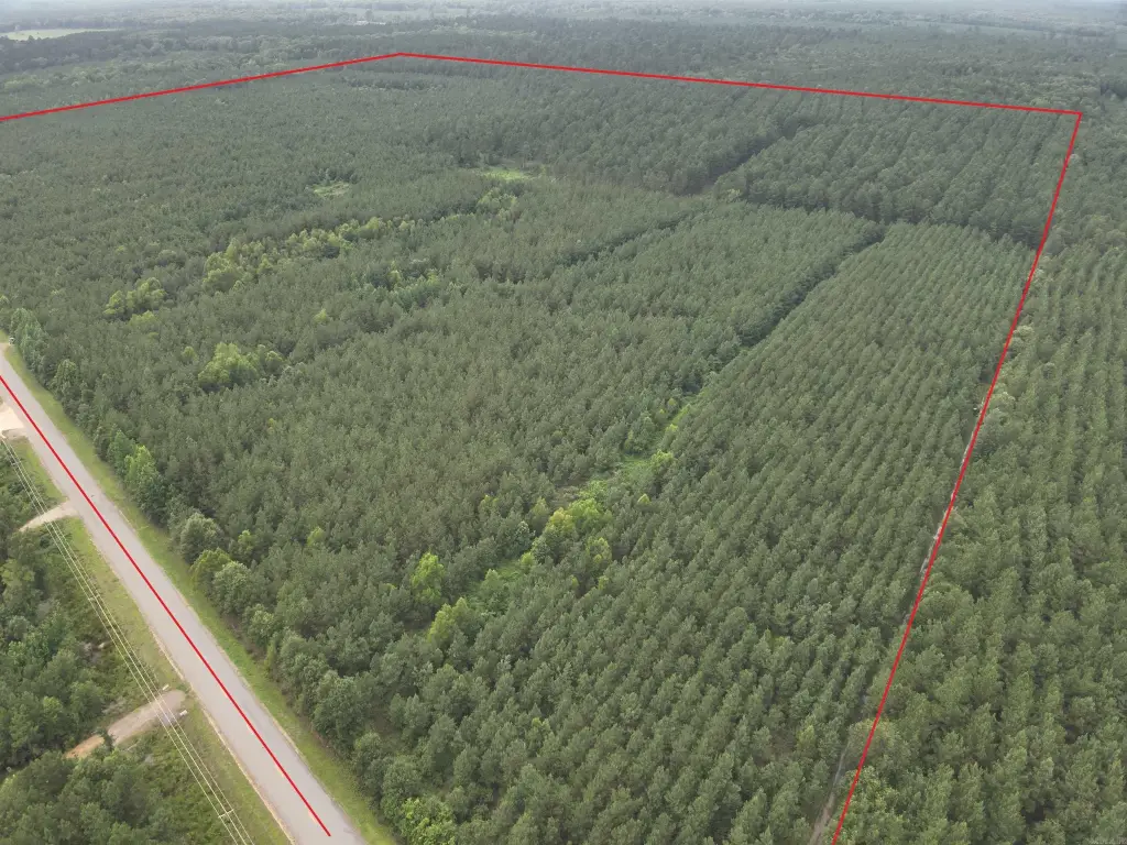
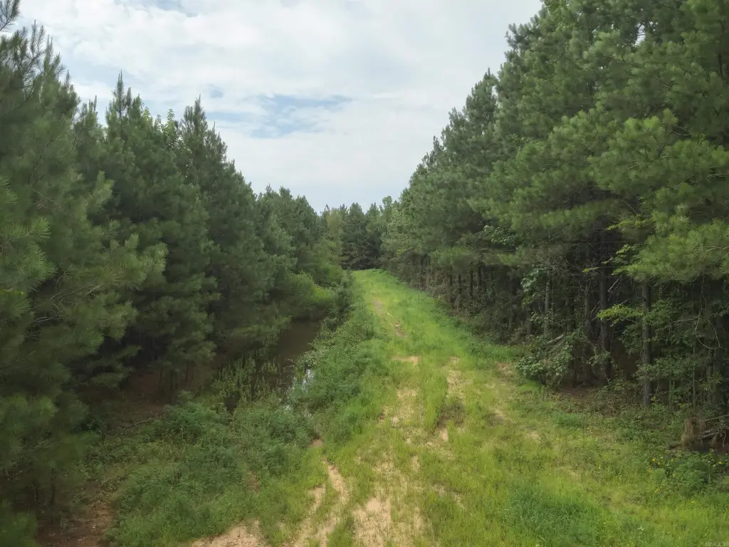
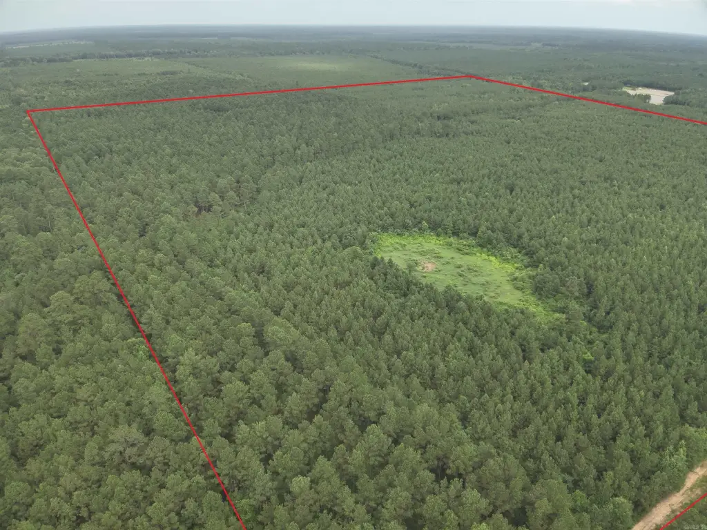
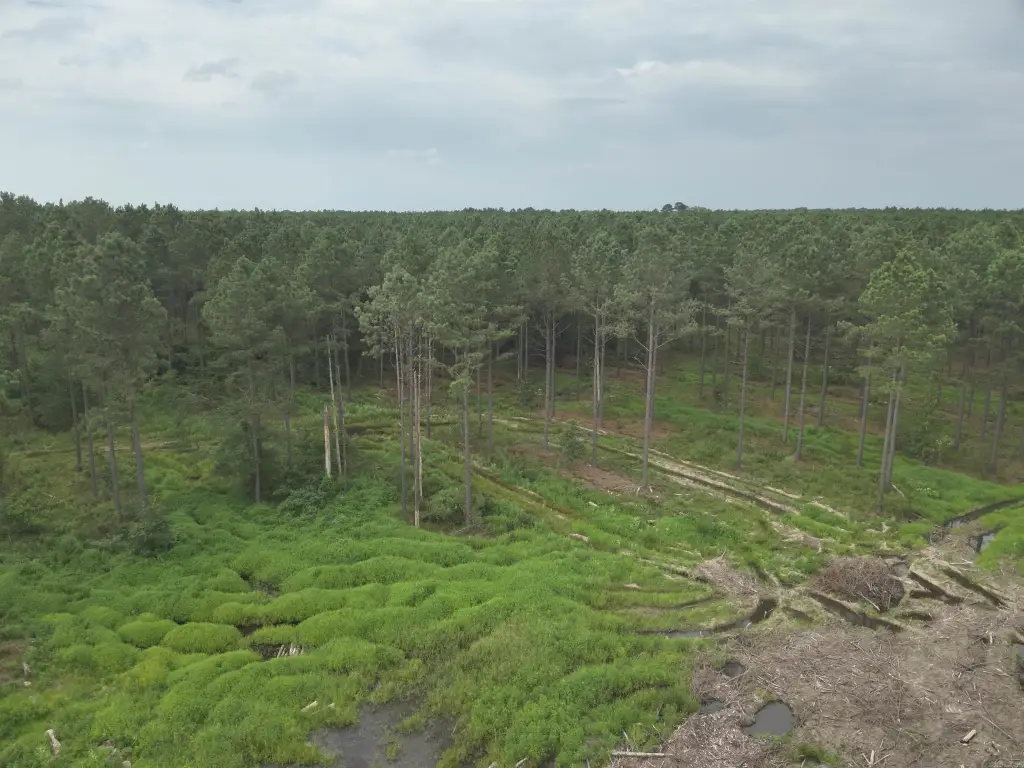
This 147.35-acre agricultural tract includes multiple planted pine stands established in 2017, 2014, and 2000. The oldest stand was second-thinned in 2025. Terrain is generally flat to gently sloping, with sandy and silt-loam soils and a weighted-average soil site index of 85.3 for Loblolly Pine at a 50-year base age.
State Highway 360, also known as Homan Road, follows the property’s southern boundary and provides access. Some utilities are located along the highway. The tract lies about ten miles south-southwest of Stamps in Lafayette County and is within the Emerson-Taylor-Bradley School District. A pipeline right-of-way approximately 20 feet wide runs along the western edge.
State Highway 360, also known as Homan Road, follows the property’s southern boundary and provides access. Some utilities are located along the highway. The tract lies about ten miles south-southwest of Stamps in Lafayette County and is within the Emerson-Taylor-Bradley School District. A pipeline right-of-way approximately 20 feet wide runs along the western edge.
Key Highlights
- 147.35‑acre agricultural tract in Lafayette County
- Approximately 62 acres of pine planted in 2017
- Approximately 29 acres of pine planted in 2014
Property Analytics
Current Use
Location Intelligence
Demographics for 71860, AR
2,098
Population
1,133
Households
1.9
Avg Household Size
47
Median Age
15%
College-Educated
88%
High-School Grad
105.9 sq mi
ZIP Area
20
Density / Sq Mi
$34,122
Median Household Income
$34,621
Median Earnings
$716
Median Rent
$72,500
Median Home Value

Questions? Ask Rey
Realmo’s AI knows this listing — price, zoning, demand, history. Ask anything.



Frequently Asked Questions
What type of property is this?
Agricultural land / Farmland - Agricultural acreage with planted pine stands, highway frontage, partial utility access, and generally level to gently sloping terrain.
Where is this agricultural land / farmland located?
The property is located at 1-18-24 AR Hwy 360 Stamps, AR.
What is the asking price?
The asking price for this property is $330,000.
What are key features of this property?
This property features: 147.35‑acre agricultural tract in Lafayette County; Approximately 62 acres of pine planted in 2017; Approximately 29 acres of pine planted in 2014


