Property profile & analytics
Mt Carmel Rd Cincinnati, OH 45244
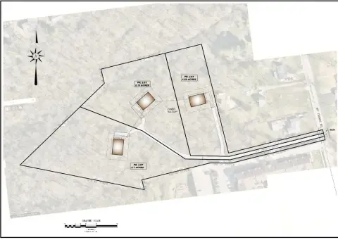
- Commercial land
- 0.91 lot acres
OFF-MARKET
Last Sale
Nov 19, 2021
Nov 19, 2021
$850,000
Value Estimations
$835,000
Show details
Cap Rate Potential
Location Intelligence
Property ID
US66-4164501
The Realmo ID is a unique identifier assigned to every property, incorporating country codes and precise geo-coordinates for 300x300-foot land blocks. It enables standardized data collection and seamless integration of disparate sources such as ownership, tax, title data and physical specifications. By aggregating current and historical records, the Realmo ID powers advanced analytics and delivers deep, verifiable insights for real estate professionals.
Current Use by Public Records
- KS Energy Services / General Contractor
- ATM (Beechwood Exxon) / Atm
- Taqueria El Pastor Dorado / Restaurant
- beechwood B.P./krispy krunchy chichen / Restaurant / Take-out & Catering
- BEECHWOOD BP / Gas Station
Property Details for Mt Carmel Rd
- Lot size
- 0.91 lot acres
- Property type
- Commercial land
- APN
- 500-0074-0067-00
- APU
- 5000074006700
Value Estimations
based on Realmo’s proprietary methodology
-
AI approach
- Method
- Estimation
- Statistic approach
- $745,000
- ML approach
- $805,000
Get a detailed, property-specific valuation — fast and free
Location Insight
- Map
- Local Demand
- City
- Cincinnati
- County
- Hamilton
- State
- Ohio
- Longitude
- -84.3074
- Latitude
- 39.1142
- CBSA code
- 17140
- CBSA name
- CINCINNATI-MIDDLETOWN, OH-KY-IN METROPOLITAN STATISTICAL AREA
Property Tax & Assessments
Tax date
Tax Amount
Assessed Land Value
Assessed Improvement Value
Total Assessed Value
Applied Tax Rate
Land Market Value
Improvement Market Value
Total Market Value
2023
$4,648
$48,566
$0.00
$48,566
-
$138,760
$0.00
$138,760