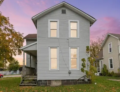
King Rd Newark, OH 43055
Property profile & analytics
King Rd, Newark, OH 43055
- Apartment buildings
- 1,768 SF
- 15.87 lot acres
Property ID
US66-4420306
The Realmo ID is a unique identifier assigned to every property, incorporating country codes and precise geo-coordinates for 300x300-foot land blocks. It enables standardized data collection and seamless integration of disparate sources such as ownership, tax, title data and physical specifications. By aggregating current and historical records, the Realmo ID powers advanced analytics and delivers deep, verifiable insights for real estate professionals.
Location Intelligence
Current Use by Public Records
- Apartment buildings
Property Details for King Rd
- Year built
- 2011
- Lot size
- 15.87 lot acres
- Property type
- Apartment buildings
- APN
- 096-286524-00.004
- APU
- 9628652400004
Sales History
| Date | Price | Buyer | Seller | Deed Type | Mortgage |
|---|---|---|---|---|---|
| Jan 31, 2023 | — | Fox Run A LLC | — | Deed · related | $3.3M · Bellwether Enterprise Mortgage Investmen |
| Mar 25, 2011 | $950,000 | Fox Run A LLC | Mid-ohio Dev Of Fox Run Condomini | Grant Deed | $3.5M · Wesbanco Bank INC |
| Jul 28, 2005 | $347,820 | Mid Ohio Dev Etal | Owner Name Unavailable | Warranty Deed · related | — |
Value Estimations
based on Realmo’s proprietary methodology
-
AI approach
-
CAP approach
-
Comparable approach
-
Alternative Use
Get a detailed, property-specific estimation — fast and free
Location Insight
- Map
- Local Demand
- City
- Newark
- County
- Licking
- State
- Ohio
- Longitude
- -82.4434
- Latitude
- 40.0917
- CBSA code
- 18140
- CBSA name
- COLUMBUS, OH METROPOLITAN STATISTICAL AREA
Property Tax & Assessments
Tax date
Tax Amount
Assessed Land Value
Assessed Improvement Value
Total Assessed Value
Applied Tax Rate
Land Market Value
Improvement Market Value
Total Market Value
2023
$99,552
$295,790
$1,872,570
$2,168,360
-
$845,100
$5,350,200
$6,195,300