Industrial Pkwy Marysville, OH 43040
Property profile & analytics
Industrial Pkwy, Marysville, OH 43040
- Commercial land
- 6.66 lot acres
Property ID
US66-4033154
The Realmo ID is a unique identifier assigned to every property, incorporating country codes and precise geo-coordinates for 300x300-foot land blocks. It enables standardized data collection and seamless integration of disparate sources such as ownership, tax, title data and physical specifications. By aggregating current and historical records, the Realmo ID powers advanced analytics and delivers deep, verifiable insights for real estate professionals.
Location Intelligence
Current Use by Public Records
- Commercial land
Property Details for Industrial Pkwy
- Lot size
- 6.66 lot acres
- Property type
- Commercial land
- APN
- 29-0023054.1030
- APU
- 2900230541030
Sales History
| Date | Price | Buyer | Seller | Deed Type | Mortgage |
|---|---|---|---|---|---|
| Oct 16, 2017 | — | Union County Airport Authority | Triad Investment Prop LLC | Warranty Deed | — |
| Nov 22, 2005 | $690,100 | Triad Investment Properties Ll | Wi Dev LLC | Warranty Deed · related | $518k · Us Bk |
| Apr 11, 2005 | $554,470 | Wi Dev LLC | Hodges,duane | Grant Deed | — |
Value Estimations
based on Realmo’s proprietary methodology
-
AI approach
-
CAP approach
-
Comparable approach
-
Alternative Use
Get a detailed, property-specific estimation — fast and free
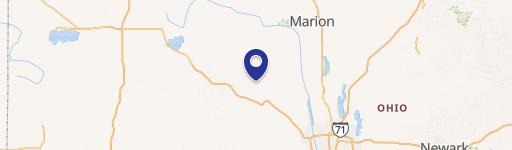
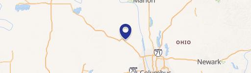
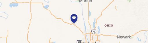
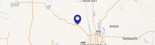
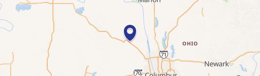
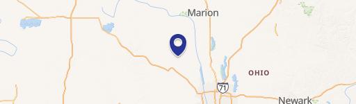
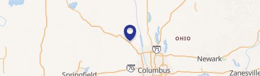
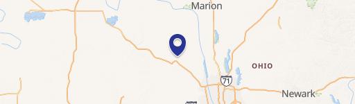
Location Insight
- Map
- Local Demand
- City
- Marysville
- County
- Union
- State
- Ohio
- Longitude
- -83.3402
- Latitude
- 40.2257
- CBSA code
- 18140
- CBSA name
- COLUMBUS, OH METROPOLITAN STATISTICAL AREA
Property Tax & Assessments
Tax date
Tax Amount
Assessed Land Value
Assessed Improvement Value
Total Assessed Value
Applied Tax Rate
Land Market Value
Improvement Market Value
Total Market Value
2023
$1,366
$18,290
$0.00
$18,290
-
$52,260
$0.00
$52,260