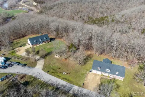
Historic Rte 66 Waynesville, MO 65583
Property profile & analytics
Historic Rte 66, Waynesville, MO 65583
- Commercial real estate
- 2,450 SF
- 0.50 lot acres
Property ID
US48-1367736
The Realmo ID is a unique identifier assigned to every property, incorporating country codes and precise geo-coordinates for 300x300-foot land blocks. It enables standardized data collection and seamless integration of disparate sources such as ownership, tax, title data and physical specifications. By aggregating current and historical records, the Realmo ID powers advanced analytics and delivers deep, verifiable insights for real estate professionals.
Location Intelligence
Current Use by Public Records
- Commercial real estate
Property Details for Historic Rte 66
- Year built
- 1934
- Lot size
- 0.50 lot acres
- Property type
- Commercial real estate
- APN
- 11-7.0-26-001-006-001.000
- APU
- 117026001006001000
Sales History
| Date | Price | Buyer | Seller | Deed Type | Mortgage |
|---|---|---|---|---|---|
| Aug 21, 2008 | — | Mallow Merrion | Yvonna Bays | Quit Claim Deed · related | — |
Value Estimations
based on Realmo’s proprietary methodology
-
AI approach
-
CAP approach
-
Comparable approach
-
Alternative Use
Get a detailed, property-specific estimation — fast and free
Location Insight
- Map
- Local Demand
- City
- Waynesville
- County
- Pulaski
- State
- Missouri
- Longitude
- -92.2089
- Latitude
- 37.8262
- CBSA code
- 22780
- CBSA name
- FORT LEONARD WOOD, MO MICROPOLITAN STATISTICAL AREA
Property Tax & Assessments
Tax date
Tax Amount
Assessed Land Value
Assessed Improvement Value
Total Assessed Value
Applied Tax Rate
Land Market Value
Improvement Market Value
Total Market Value
2019
$606
$11,520
$6,666
$18,186
-
$36,000
$20,830
$56,830