Ft Crook Rd N, NE
Property profile & analytics
Ft Crook Rd, N, NE
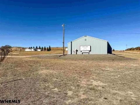
- Manufacturing properties
- 157,735 SF
- 18.32 lot acres
Property ID
US57-0257440
The Realmo ID is a unique identifier assigned to every property, incorporating country codes and precise geo-coordinates for 300x300-foot land blocks. It enables standardized data collection and seamless integration of disparate sources such as ownership, tax, title data and physical specifications. By aggregating current and historical records, the Realmo ID powers advanced analytics and delivers deep, verifiable insights for real estate professionals.
Location Intelligence
Current Use by Public Records
- Manufacturing properties
Property Details for Ft Crook Rd
- Year built
- 1989
- Construction
- CONCRETE
- Lot size
- 18.32 lot acres
- Property type
- Manufacturing properties
- APN
- 11157038
- APU
- 11157038
Sales History
| Date | Price | Buyer | Seller | Deed Type | Mortgage |
|---|---|---|---|---|---|
| Jan 8, 2018 | — | Pendleton Woolen Mills INC | — | Deed · related | — |
| Jan 12, 2012 | $5,130,000 | Earthgrains Baking Companies I | Sara Lee Corp | Quit Claim Deed · related | — |
| — | — | Pendleton Woolen Mills INC | — | Loan Modification · related | — |
Value Estimations
based on Realmo’s proprietary methodology
-
AI approach
-
CAP approach
-
Comparable approach
-
Alternative Use
Get a detailed, property-specific estimation — fast and free
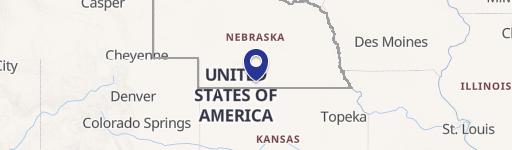
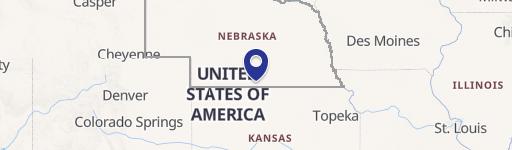
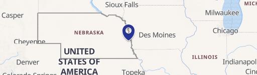
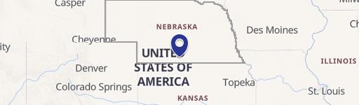
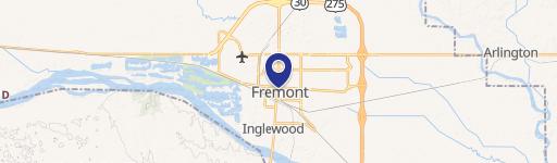
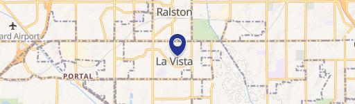
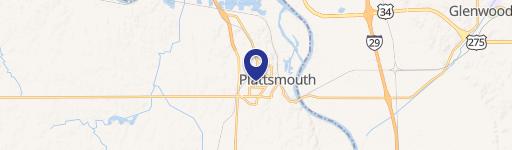
Location Insight
- Map
- Local Demand
- City
- N
- County
- Sarpy
- State
- Nebraska
- Longitude
- -95.9327
- Latitude
- 41.1818
- CBSA code
- 36540
- CBSA name
- OMAHA-COUNCIL BLUFFS, NE-IA METROPOLITAN STATISTICAL AREA
Property Tax & Assessments
Tax date
Tax Amount
Assessed Land Value
Assessed Improvement Value
Total Assessed Value
Applied Tax Rate
Land Market Value
Improvement Market Value
Total Market Value
2023
$168,140
$2,194,552
$5,594,757
$7,789,309
-
$2,194,552
$5,594,757
$7,789,309