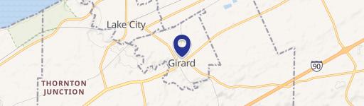
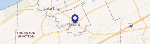
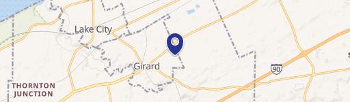
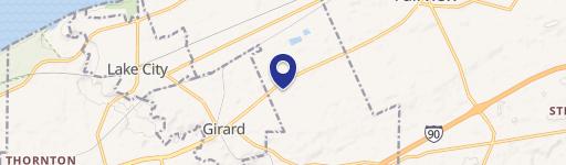
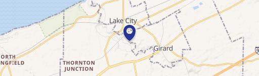
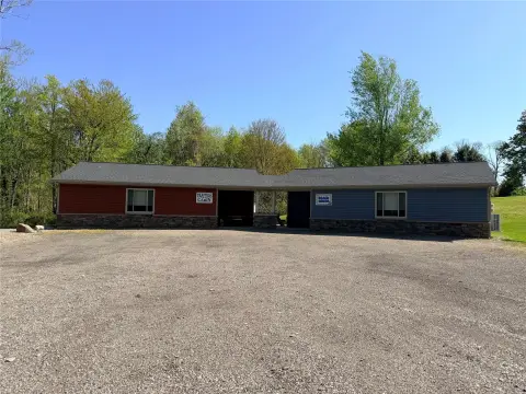
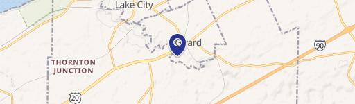
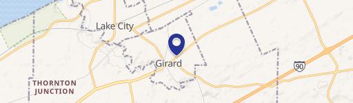
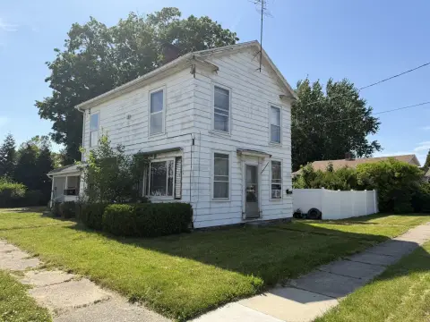
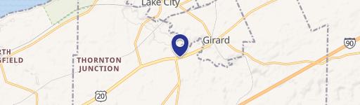
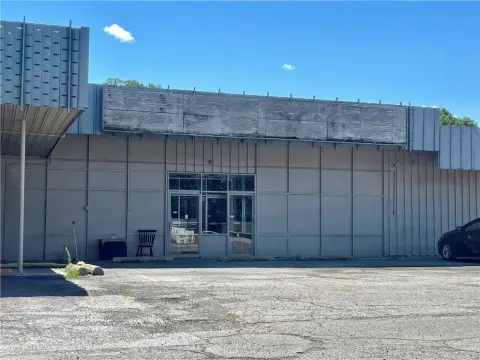
Fairplain Rd Girard, PA 16417
Property profile & analytics
Fairplain Rd, Girard, PA 16417
- Office buildings
- 766 SF
- 64.78 lot acres
Property ID
US73-4009804
The Realmo ID is a unique identifier assigned to every property, incorporating country codes and precise geo-coordinates for 300x300-foot land blocks. It enables standardized data collection and seamless integration of disparate sources such as ownership, tax, title data and physical specifications. By aggregating current and historical records, the Realmo ID powers advanced analytics and delivers deep, verifiable insights for real estate professionals.
Location Intelligence
Current Use by Public Records
- Office buildings
Property Details for Fairplain Rd
- Year built
- 1984
- Construction
- WOOD
- Lot size
- 64.78 lot acres
- Zone code
- R2
- Property type
- Office buildings
- APN
- 24-005-035.0-001.00
- APU
- 24005035000100
Sales History
| Date | Price | Buyer | Seller | Deed Type | Mortgage |
|---|---|---|---|---|---|
| Mar 10, 2005 | — | James Hornyak | Hornyak,james & Nancy | Quit Claim Deed · related | — |
| Apr 1, 2003 | $191,000 | Stephen J Wilk | Kuntz,brian P & Maureen I | Grant Deed | $151k · Cendant Mortgage Corp |
| May 1, 2002 | $34,900 | Maureen I Kuntz | Rodney R Dale Trustee | Grant Deed | $30k · Rodney R Dale Trustee |
Value Estimations
based on Realmo’s proprietary methodology
-
AI approach
-
CAP approach
-
Comparable approach
-
Alternative Use
Get a detailed, property-specific estimation — fast and free
Location Insight
- Map
- Local Demand
- City
- Girard
- County
- Erie
- State
- Pennsylvania
- Longitude
- -80.29
- Latitude
- 42.024
- CBSA code
- 21500
- CBSA name
- ERIE, PA METROPOLITAN STATISTICAL AREA
Property Tax & Assessments
Tax date
Tax Amount
Assessed Land Value
Assessed Improvement Value
Total Assessed Value
Applied Tax Rate
Land Market Value
Improvement Market Value
Total Market Value
2023
$3,310
$98,500
$23,400
$121,900
-
$98,500
$23,400
$121,900